Rover Location Database
Idaho Rover Locations
- Idaho Map
- Idaho List
- DN44 Yellowstone
- DN43 Rexburg
- DN42 Soda Spr
- DN35 Salmon
- DN34 Lemhi
- DN33 Craters of the Moon
- DN32 Pocatello
- DN27 Flathead
- DN26 Clearwater
- DN25 Nez Perce
- DN24 Salmon
- DN23 Mtn Home
- DN22 Twin Falls
- DN18 Sandpoint
- DN17 Coeur d'Alene
- DN16 Moscow
- DN15 Wallowa
- DN14 McCall
- DN13 Boise
- DN12
- Select Grid
- Add a Place
Grid Square DN34
5 locations - Lemhi Pass West Viewpoint - Lemhi Pass - Leadore City Park - Birch Creek - McKim Creek
Potential VHF rover sites in Idaho and Montana grid DN34.
Highway 93 is deep in a valley its entire length; might as well stay away from it.
DN34 dimensions are 98.6 by 69.2 miles.
Explore this grid in Google Earth or equivalent:
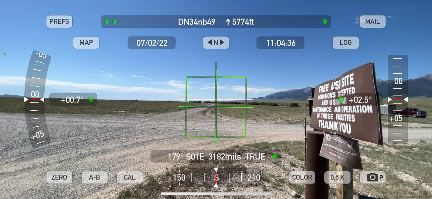
Lemhi Pass West Viewpoint, DN34gx65
| Latitude, Longitude |
|---|
| 44.981492, -113.446033 |


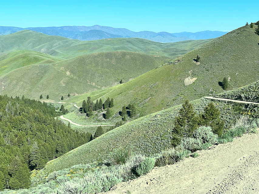
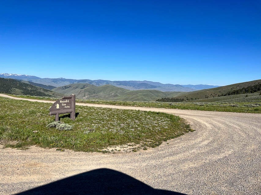
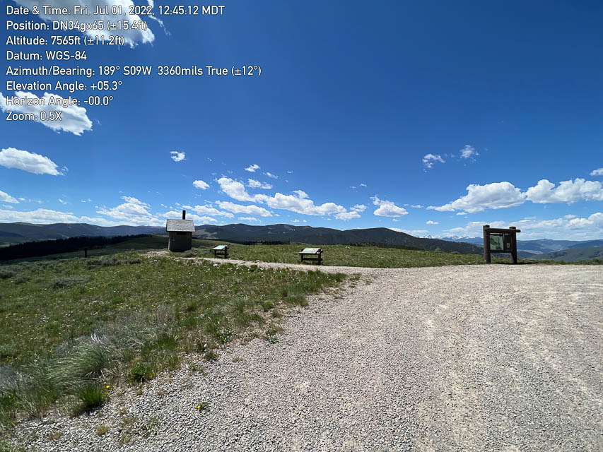

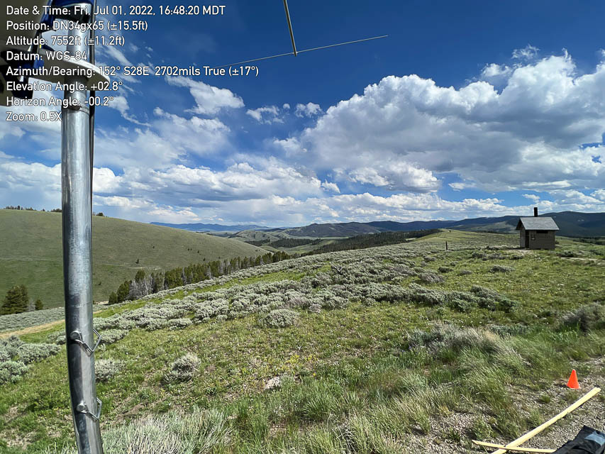
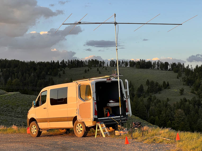
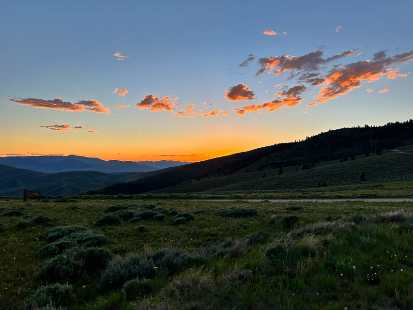
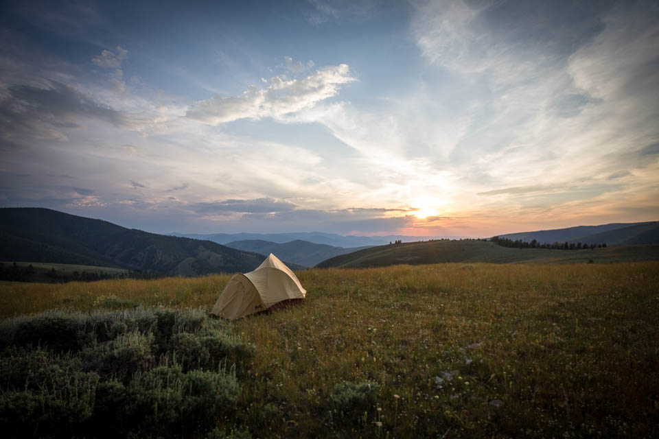
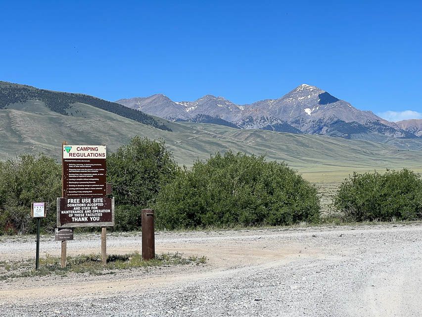
Another spot on Lemhi Pass is the "Westward Viewpoint" parking circle. It has a good view of the horizon in all directions except north. Barry K7BWH activated this in July 2022 and provides this update.
I think this is the premier spot for DN34, for both working really well on the air and the camping comfort and drivability.
Lemhi Pass is a historic place on the Lewis and Clark Trail. On Monday August 12, 1805, Lewis, with three men as an advance party, crossed the Lemhi Pass and spent their first night in Idaho near Agency Creek. Lewis wrote, "... after a short halt of a few minutes we continued our march along the Indian road which lead us over steep hills and deep hollows to a spring on the side of the mountain. Here we encamped for the night having traveled about 20 miles."
Driving directions:
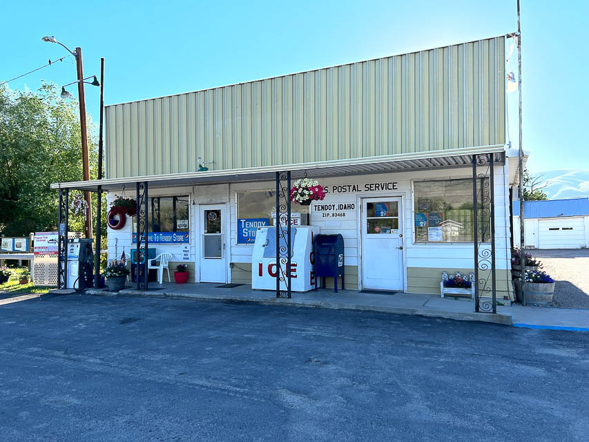
- From Salmon, drive southeast on Hwy 28 for 33 miles.
- Look for Tendoy - it's hard to miss, since it only has one building: the Post Office.
- Turn left at the Tendoy Post Office onto unpaved roads.
- A short distance and turn right.
- Another short distance and turn left onto Agency Creek Road.
- Follow the road up to Lemhi Pass.
- It can get a little steep but the road is in good condition and any sedan can make it.
Restrictions: Warning sign cautions "RVs and Trailers Not Advised".
Lemhi Pass, DN34gx65
| Latitude, Longitude |
|---|
| 44.981587, -113.446326 |
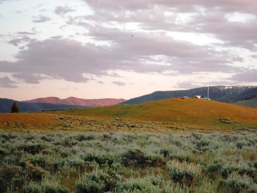
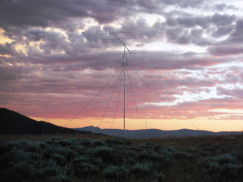

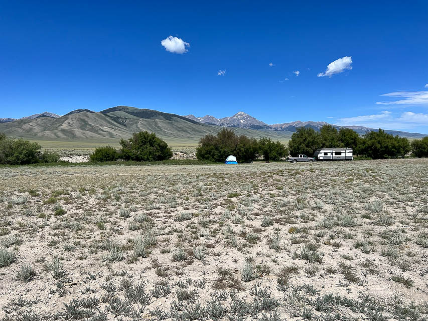
Lemhi Pass is a ridge on the border of Idaho and Montana, on the northern edge of DN34. It has a good view of the horizon in all directions except north. This spot was activated by Susanna K7SGP and Lance W7GJ on 6m during the 2015 Field Day weekend.
More details and photos at K7SGP and W7GJ Grid Expedition
Lemhi Pass is high and has a clear shot pretty much in all directions except due north, with the lowest horizons to the east and west. Lemhi pass in DN34gx is just barely south of the DN35/DN34 line. Surprisingly, there actually WAS a bit of cell phone coverage up there.
It also actually has 3 outhouses (one on the Montana side of the pass, one in the Sacajawea Memorial Picnic Area, and another on the Continental Divide just north of the pass), which were a very welcome convenience when you are camping there for 3 nights. Lance took a mountain bike for easy access to the facilities on Lemhi Pass, which were only 0.7 miles downhill from our operating site southwest of the pass. Because of the day use restrictions at the Sacajawea Memorial Picnic Area, on the Montana side southeast of the actual pass, we needed to set up on the Idaho side of the Continental Divide, just south of the day use area on the Idaho side. Lance set up on a knoll in Idaho just west of and overlooking the Continental Divide (which is also the border between Montana and Idaho at this point).
Leadore City Park, DN34hq54
| Latitude, Longitude |
|---|
| 44.687102, -113.367928 |
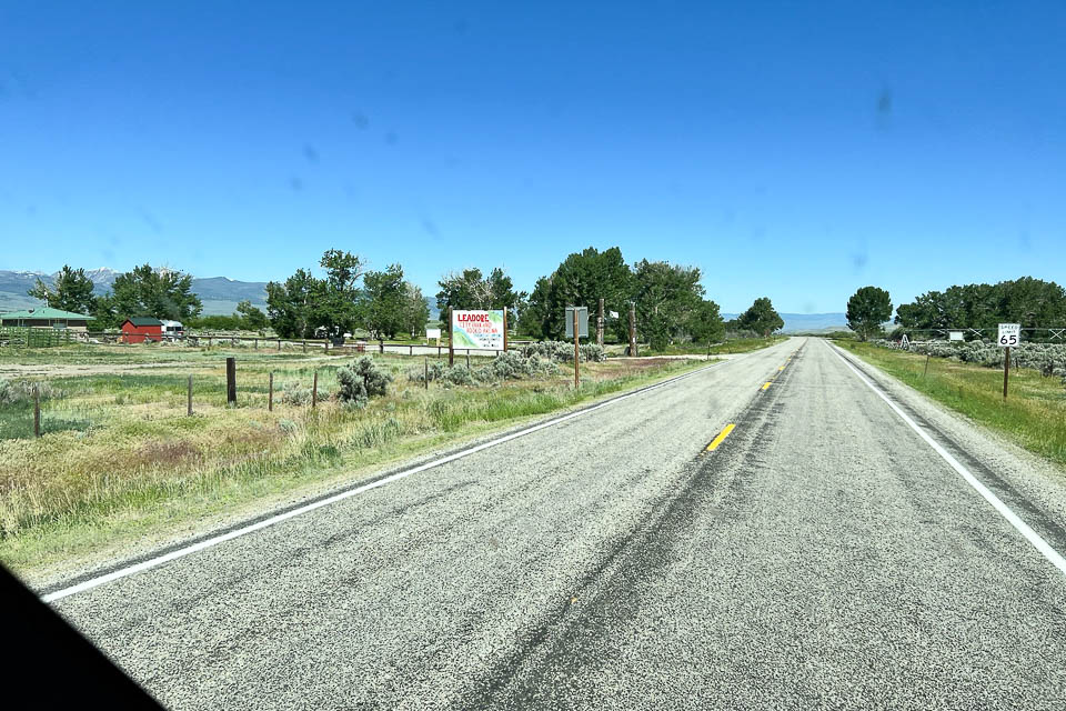
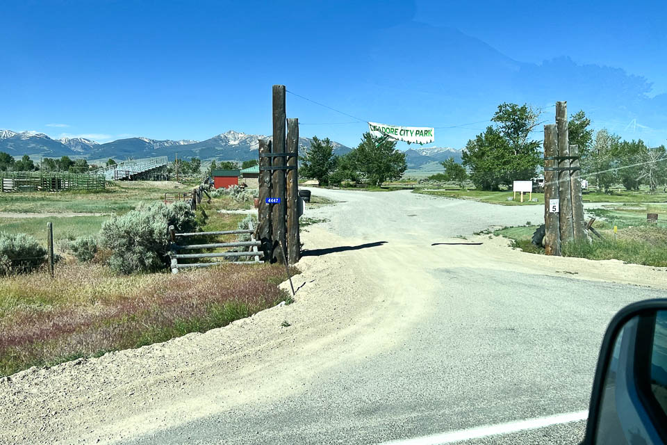
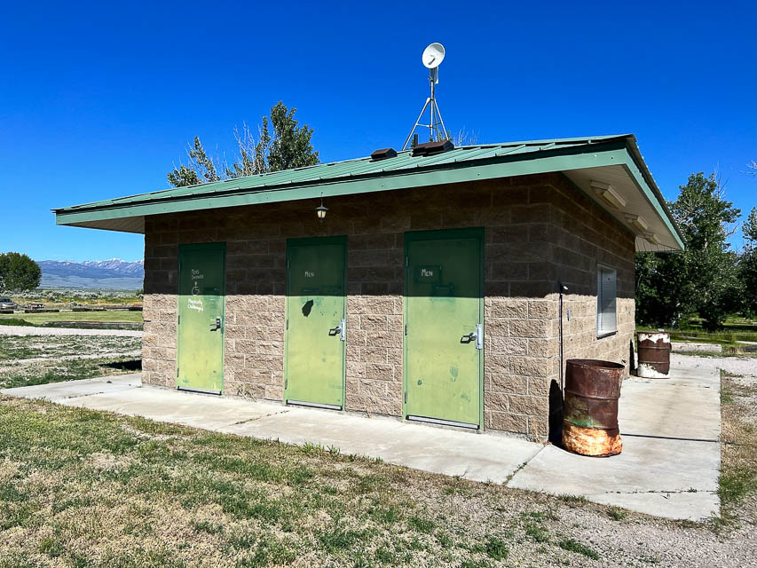
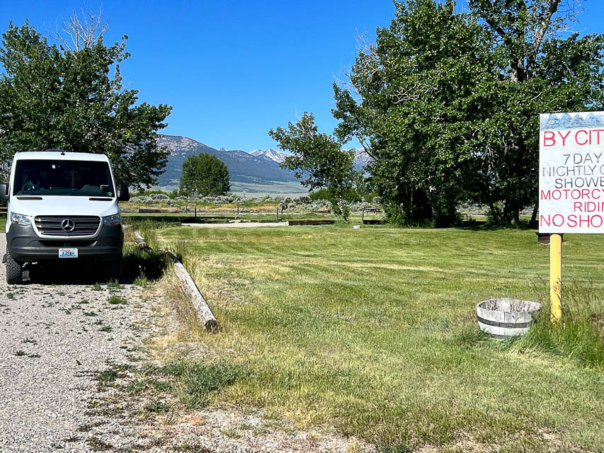
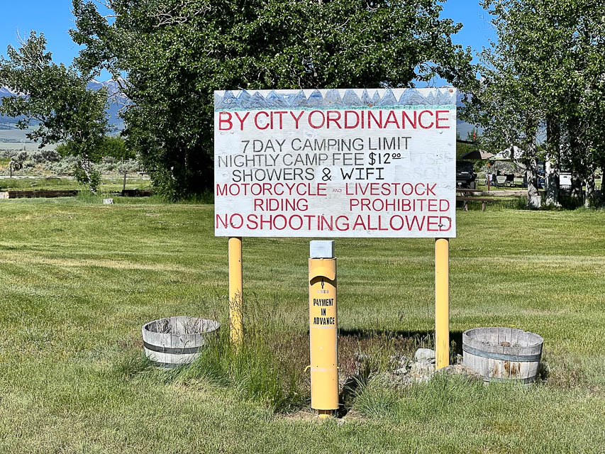
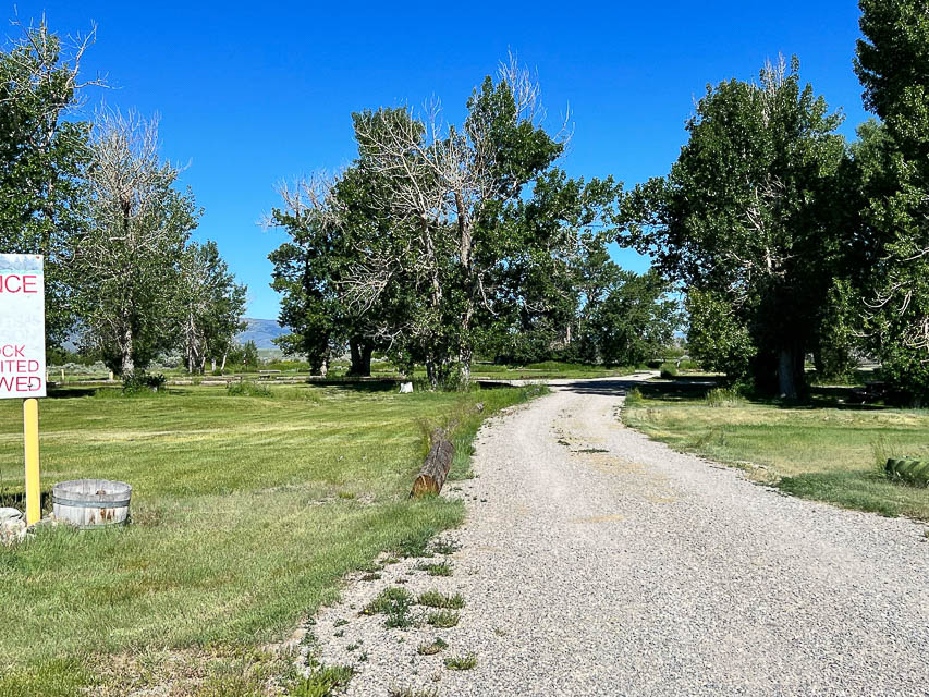
Leadore City Park is a cheap and easy campsite with shade, showers and WiFi. This is in a valley with horizon at +4 to +8 degrees toward east and west.
Restrictions: $12/night camping. No reservations; first come first served.
Check the city's park schedule for rodeos and special events.
Birch Creek, DN34nc43
| Latitude, Longitude |
|---|
| 44.096100, -112.875888 |


Birch Creek Campground is several miles of boondocking in a valley along Hwy 28. It's a popular area that offers a cool stream, fishing, hiking and outdoor activities.
The horizon is +4 to +8 degrees on the valley sides; not the best for VHF.
Entrances are very few, far between and easy to miss. Use the turnoff at 44.09816, -112.868217 which is in much better condition than Eightmile Canyon Road four miles further south.
Restrictions: Free camping. Tips accepted. First come first served. Ten miles of creekside camping. Two or three pit toilets.
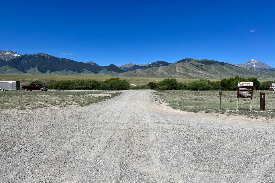
McKim Creek, DN34at46
| Latitude, Longitude |
|---|
| 44.819956, -113.960979 |
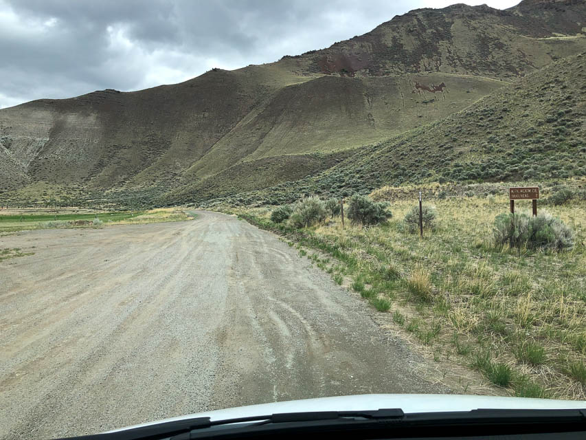
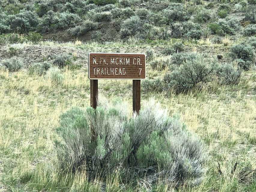
McKim Creek is a turn-off from Hwy 93 that appears to head up into the hills for 7 miles. Scouting may (or may not) find a decent hilltop.
Driving directions: Turn off from Hwy 93 at 44.797271, -114.002572.
Restrictions: Must have a high-clearance 4x4 and a chainsaw. Rough road is unmaintained after the first two miles.
| < Previous | Page 7 of 24 | Next > |
©1998-2024 Barry Hansen