Rover Location Database
Washington Rover Locations
- WA Map
- WA List
- WA from CN87
- Rare WA Grids
- WA Counties
- CN76 Long Beach
- CN77 Forks
- CN78 Sekiu
- CN85 Portland
- CN86 Centralia
- CN87 Seattle
- CN88 Belling'm
- CN95 The Dalles
- CN96 Yakima
- CN97 Mt Rainier
- CN98 Mt Baker
- DN05 Pendleton
- DN06 Tri-Cities
- DN07 Moses Lk
- DN08 Okanogan
- DN16 Pullman
- DN17 Spokane
- DN18 Colville
- Add a Place
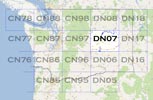
Grid Square DN07
16 locations - Burke Lake - Beezley Hills Preserve - Twin Lakes - Caliche - Quincy Rest Stop - I-90 Winchester Wasteway - Beverly-Burke - Monument Hill - Frenchman Hills - Near Miller Mtn - Miller Mtn - Whitestone Ridge - Deer Mtn - I-90 Exit 206 - Ritzville - I-90 Sprague Rest Area
Potential VHF rover sites in Washington grid DN07.
DN07 dimensions are 93.4 by 69.2 miles.
Explore this grid in Google Earth or equivalent:
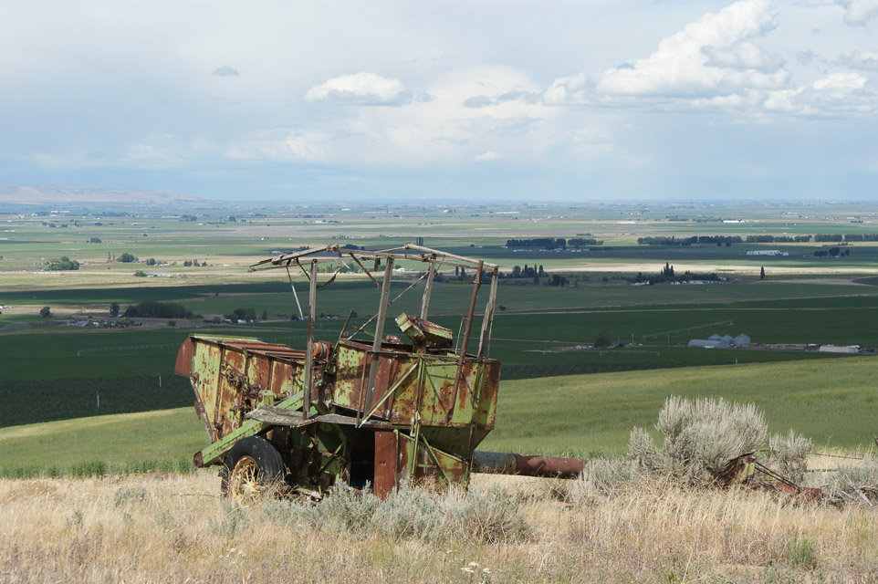
Burke Lake, DN07ad82
| Latitude, Longitude |
|---|
| 47.137454, -119.931762 |
Beezley Hills Preserve, DN07ch46
| Latitude, Longitude |
|---|
| 47.317267, -119.796005 |
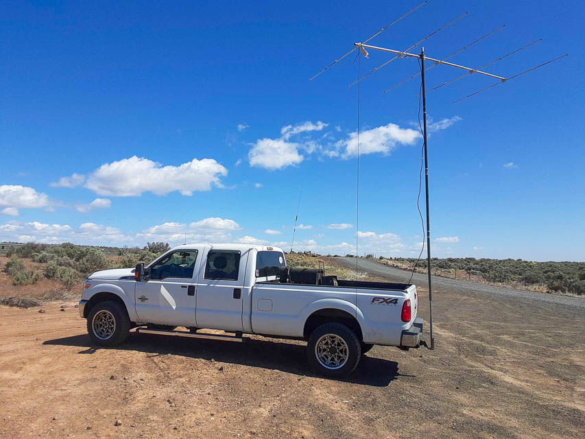
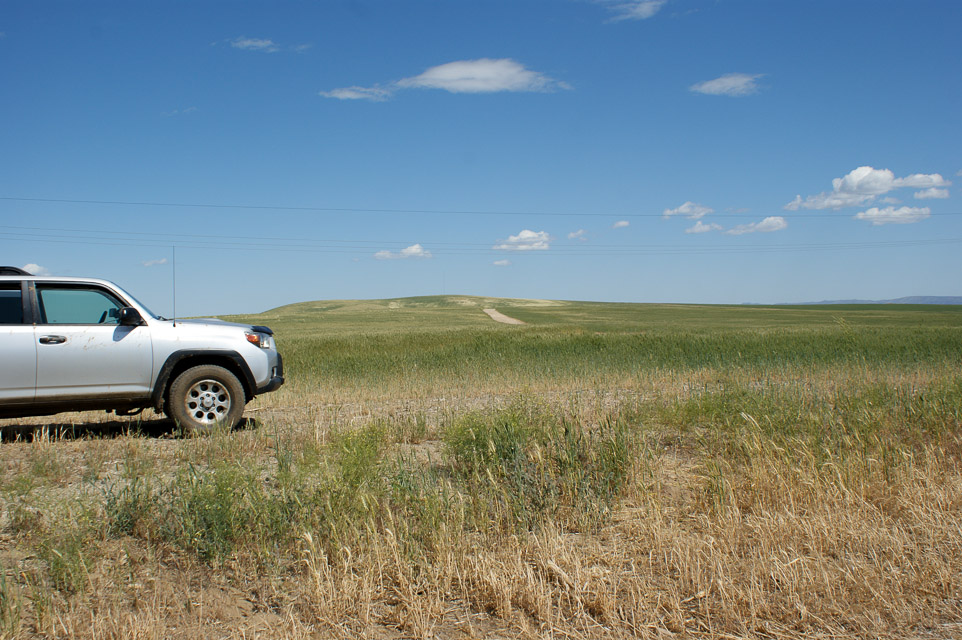
Twin Lakes, DN07rm78
| Latitude, Longitude |
|---|
| 47.533923, -118.520440 |
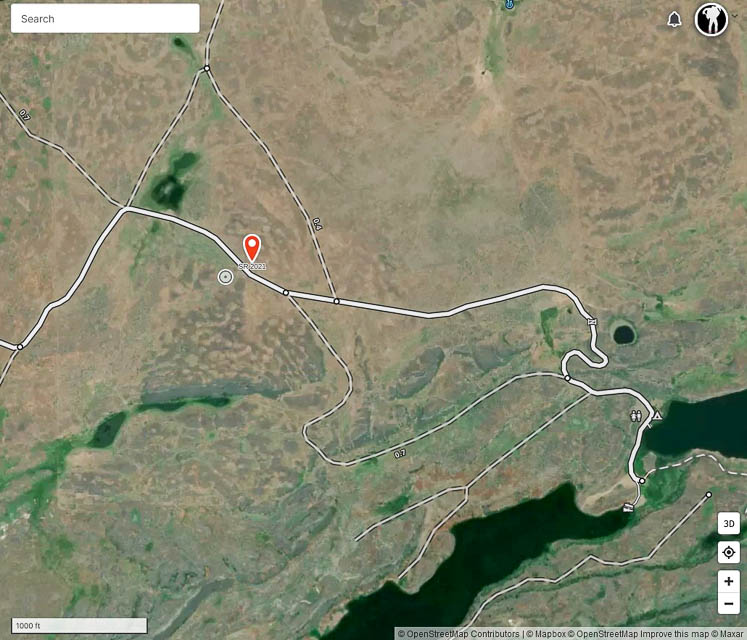

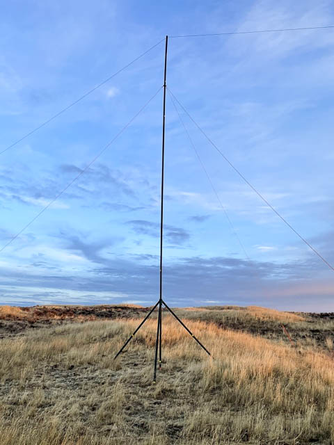
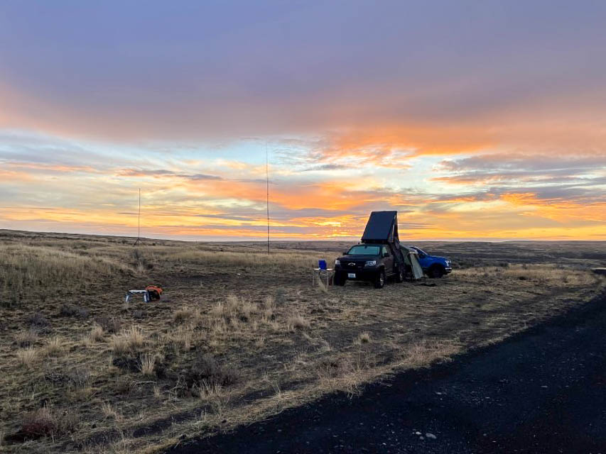
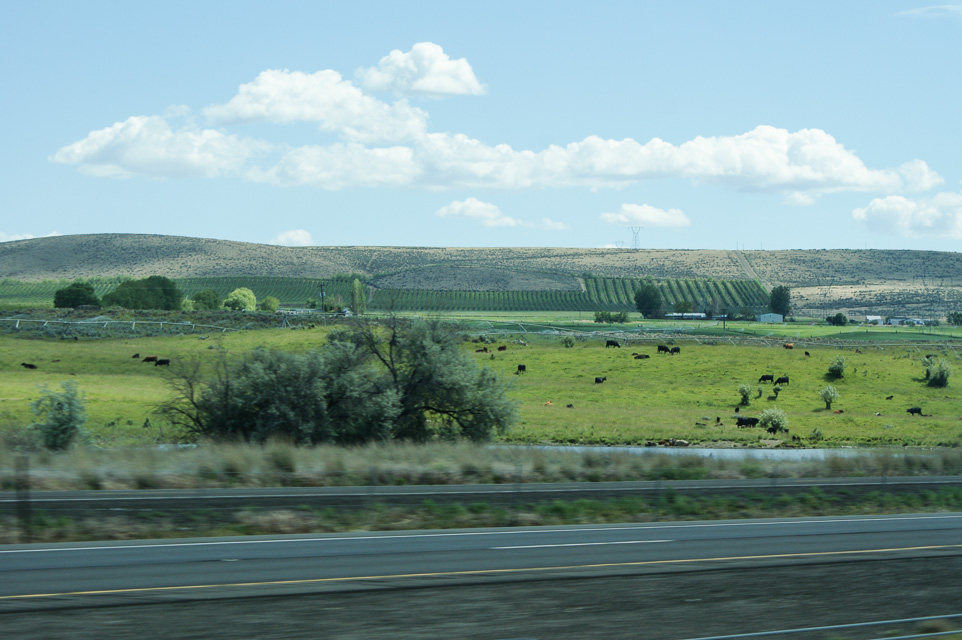
Ed N7PHY visited Twin Lakes Recreation Area for the WA State QSO Party in Sept 2021.
It's open scab-land full of rocks, sage, and not much else. We picked a spot that was a compromise between max elevation and walking distance to the vault toilet at the lake that still had great views of the horizon in most directions.
The weather was everything from sunshine to howling wind (~35 mph gusts) and horizontal rain. We normally setup outside under a canopy but had to pull the radio gear into the truck when it got too risky to operate outside. We even disassembled some of the camp to prevent it from blowing away. Did I mention there are no trees nor windbreak?
Restrictions: Tie things down. Tie everything down.
Caliche, DN07aa88
| Latitude, Longitude |
|---|
| 47.033854, -119.928472 |
Caliche Lake is right along I-90 in the SW corner of DN07, an easy stop near the Columbia River.
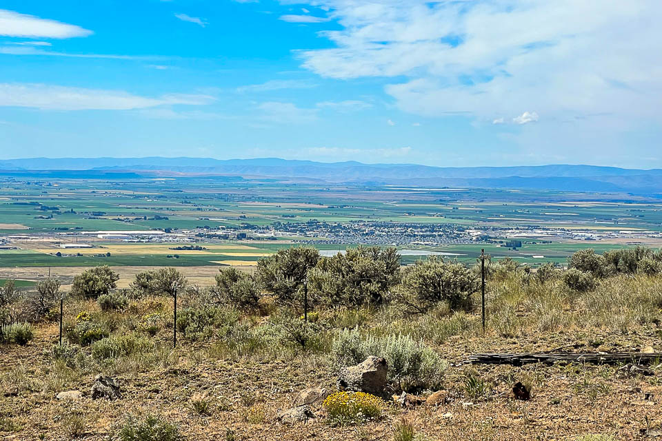
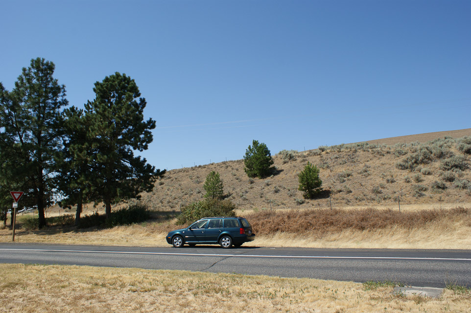
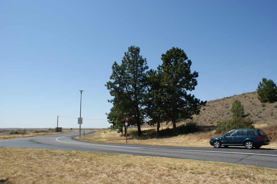
Quincy Rest Stop, DN07af55
| Latitude, Longitude |
|---|
| 47.232392, -119.956090 |


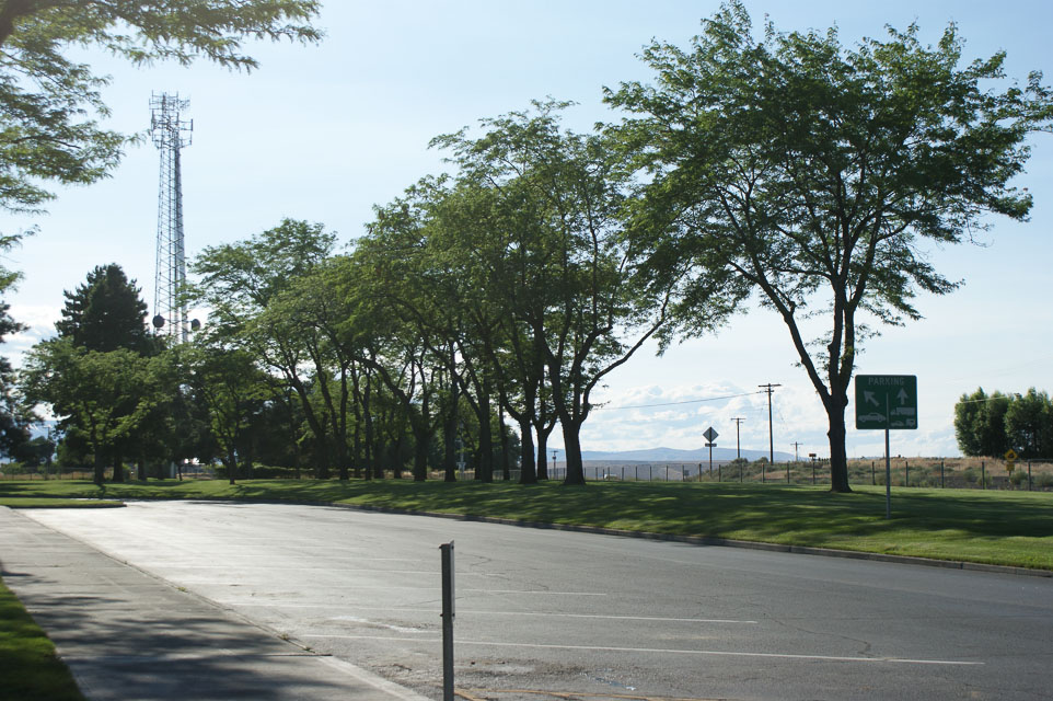
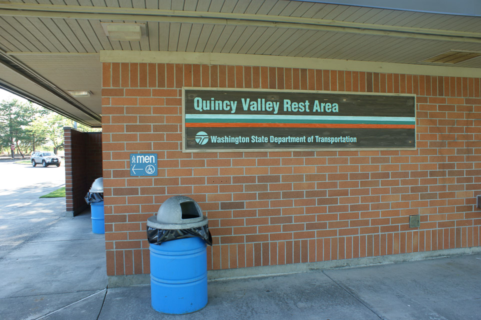
This is a delightful little rest stop on top of a rise above the Columbia River as you drive between Wenatchee and Quincy on Highway 28.
Located in the northwest corner of DN07, this might be a good place for circling the corner. You know it must be good for something with a cellphone tower so near by.
Restrictions: Signpost to limit your stay to 8 hours, no tents, no camps.
It sounds like a great place to spend the night in a car.
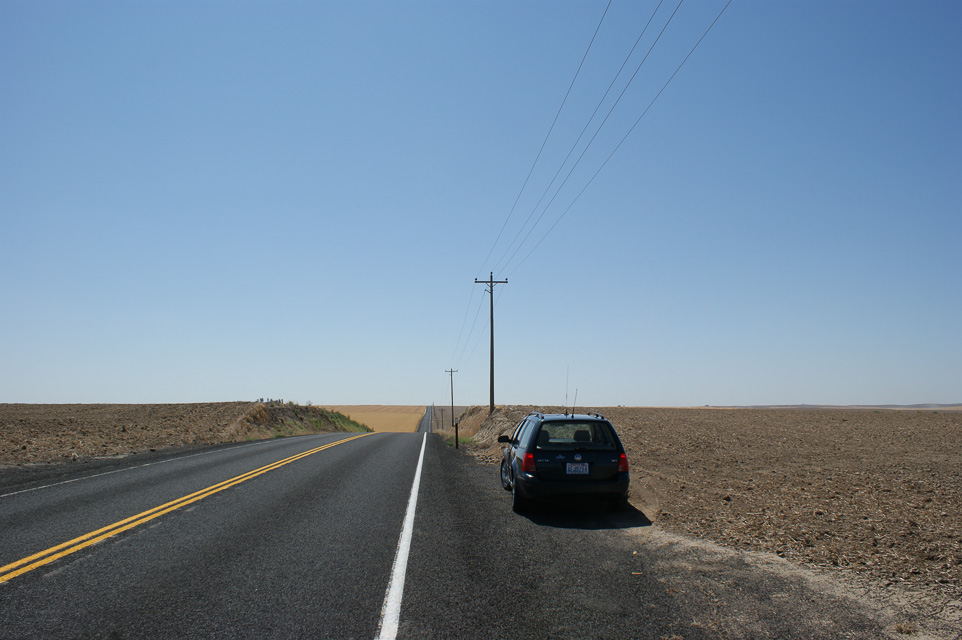
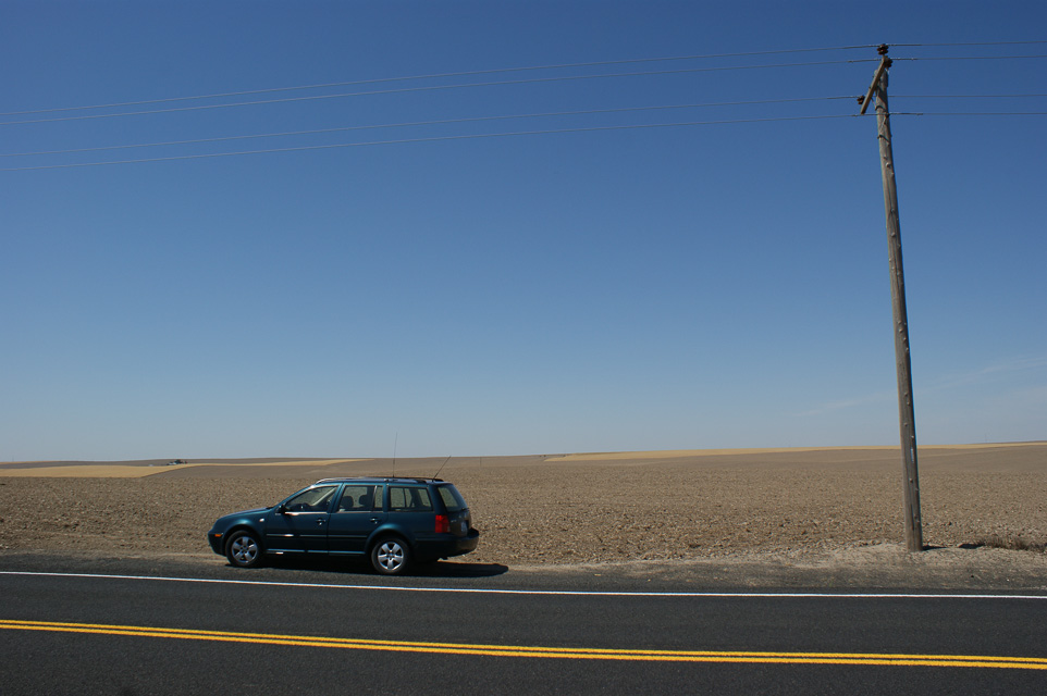
I-90 Winchester Wasteway, DN07ec44
| Latitude, Longitude |
|---|
| 47.103380, -119.627510 |
"Winchester Wasteway" - isn't that a lovely name for a rest stop?
I-90 rest stop at milepost 161 is open both eastbound and westbound, about 30 miles west of Moses Lake.
Unobstructed paths in all directions. Westbound rest area is one half mile east of eastbound rest stop and is on slightly higher ground.
Beverly-Burke, DN07aa70
| Latitude, Longitude |
|---|
| 47.000000, -119.941145 |
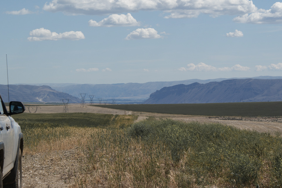


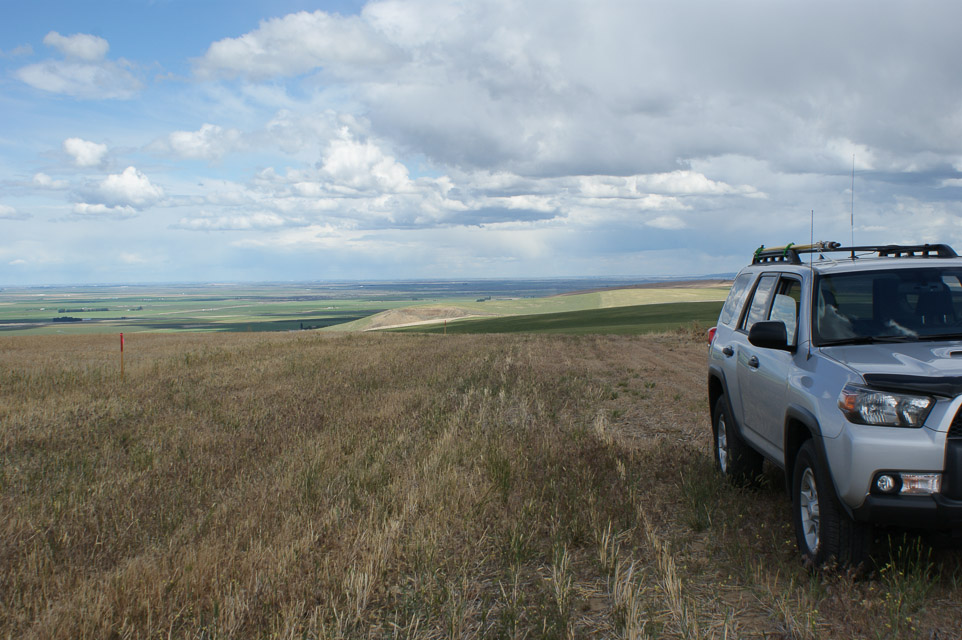
Beverly-Burke road is just off the I-90 freeway near Vantage and the Columbia River near the congruence of four grid squares. This nice hilltop offers both DN07 and DN06 together.
Note that DN06 Frenchman Hills is slightly higher and about a mile to the east. It might have better takeoff angles but following the roads to reach it will adds another fifteen minutes each way. I made a scouting trip and like this Beverly-Burke spot better.
On my way home westbound on I-90, on the long climb up to Ryegrass, it was interesting to see the giant blades from a wind turbine on a very long truck.
Monument Hill, DN07ch36
| Latitude, Longitude |
|---|
| 47.319931, -119.800792 |
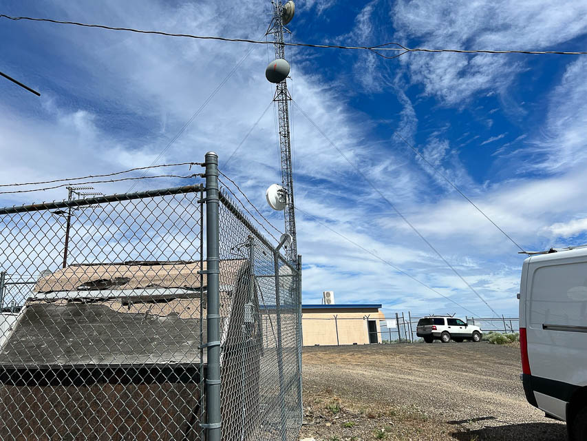


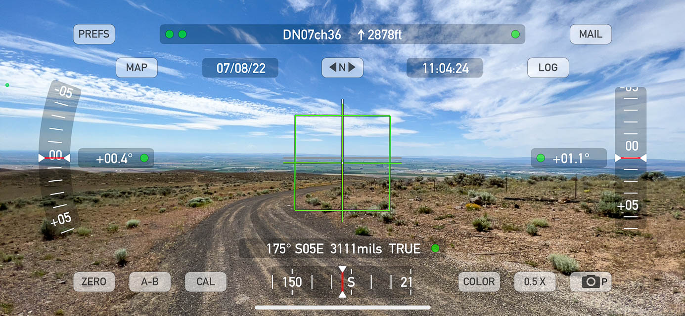
Looks like a good spot on top of the big ridge north of Quincy. However there are lots of radio towers and no good place to pull off the road.
Good paths to east and south and west. The summit compound is gated.
Easy drive up on good roads.
Driving directions: At the east end of Quincy go north on 9th Avenue SE
- It starts out going northeast then quickly goes due north
- Stay on the road which turns into P NW road
- One mile off highway 28 you will cross 11 NW Road
- Continue on another 5.1 miles to an intersection
- Stay to the right and continue on (you are going northeast)
- The road name changes to Monument Road
- Go another .5 miles (east) to another junction and continue on (don't go right)
- Go .4 miles to a road on the north side (your left) and turn north
- The top is just 1/10 mile off the road
Frenchman Hills, DN07ba10
| Latitude, Longitude |
|---|
| 47.000100, -119.903100 |
The DN07 side of the DN06-DN07 grid line through Frenchman Hills is down in the valley. I couldn't find a good open spot nearby; the big hill on the south will block most paths to Puget Sound.
I think it will be much better to work from DN07 Beverly-Burke a mile
toward the west.
See also the high spot at DN06 Frenchman Hills nearby.
Near Miller Mtn, DN07ux16
| Latitude, Longitude |
|---|
| 47.986173, -118.319900 |
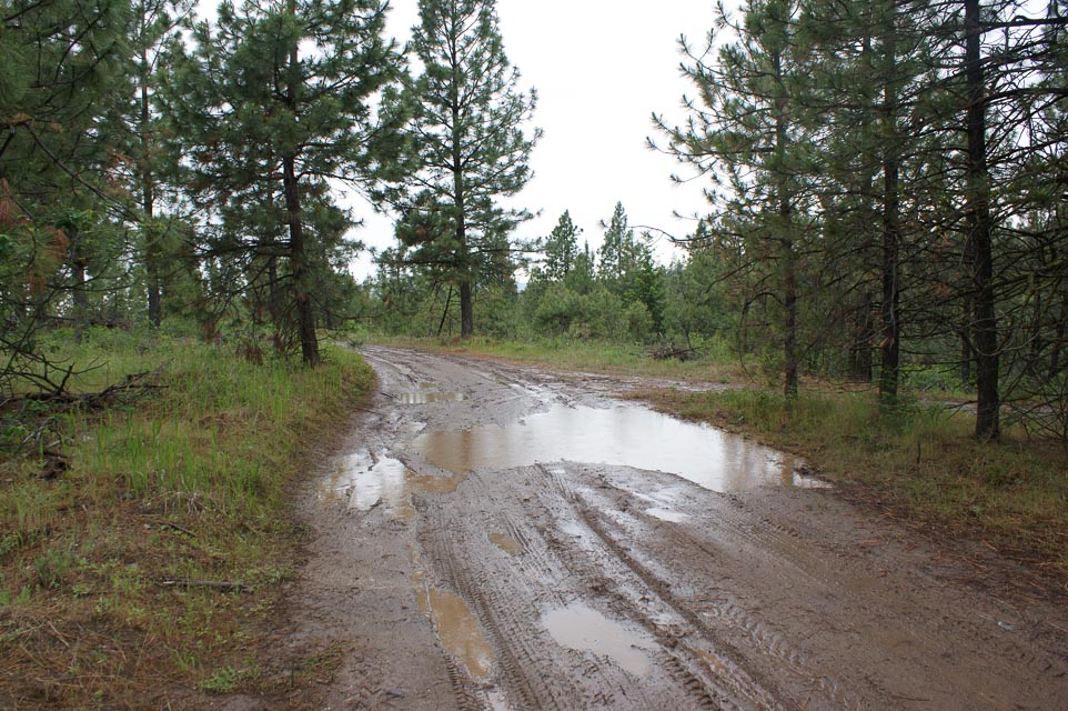
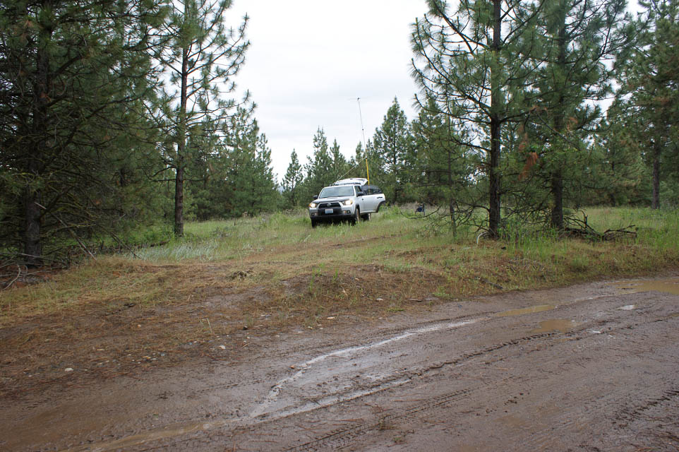
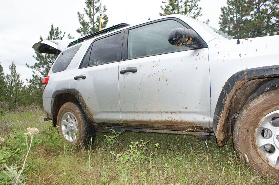
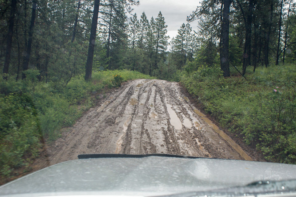
I tried to reach Miller Mountain but took a wrong turn, and ended up a mile south from the peak. The roads were extremely muddy and slippery and I didn't want to chance getting stuck. This was good enough to activate DN07 and make some points in the June 2012 VHF contest, but it would be much better to actually reach the actual peak in DN08.
Note: From Hwy 25, turn onto "BIA Hwy 68". The name soon changes to "Miller Mountain Road". At a fork, turn right onto "BIA Hwy 68" again, even though it looks smaller and less travelled. The name soon changes back to "Miller Mountain Road". A local resident uses an ATV to reach the peak, which offers another 800 vertical feet and terrific view in all directions. These residents prefer that you do not park on the road I had taken since it's all private property, although no signposts say so.
Miller Mtn, DN07ux19
| Latitude, Longitude |
|---|
| 47.997733, -118.322754 |
Whitestone Ridge and Miller Mountain are in the grid corner near Spokane and several other peaks such as Stensgar, Bare and Jumpoff Joe. This ridge spans the gridline and lends itself well to easily work from both DN08 and DN07. I sure hope it's driveable.
Whitestone Ridge, DN07rx98
| Latitude, Longitude |
|---|
| 47.995321, -118.506260 |
Whitestone Ridge and Miller Mountain are in the grid corner near Spokane and several other peaks such as Stensgar, Bare and Jumpoff Joe. This ridge spans the gridline and lends itself well to easily work from both DN07 and DN08. I sure hope it's driveable.
Deer Mtn, DN07av10
| Latitude, Longitude |
|---|
| 47.875742, -119.985087 |
There is a thin sliver of Chelan County (a rare county) in DN07. And it happens to contain a broad ridge with sparse trees and a country road. This might be a good place to operate an HF contest (such as the 7th Call Area QSO Party on the first Saturday in May) and also operate a VHF station (every Sunday). I don't see a good campground nearby, but still...
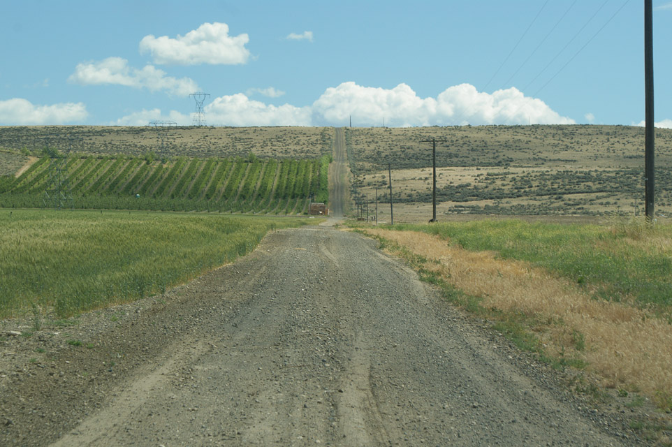
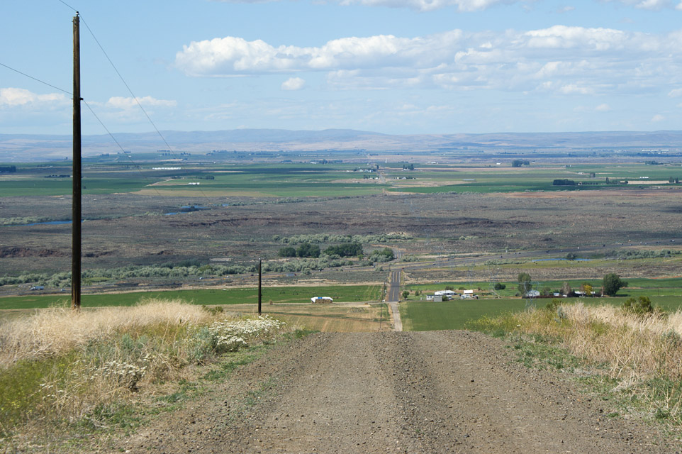
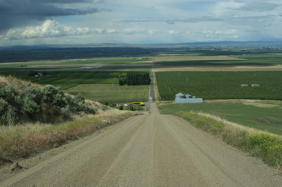
I-90 Exit 206, DN07pc73
| Latitude, Longitude |
|---|
| 47.096833, -118.686500 |
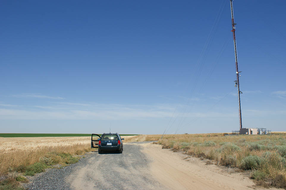

This location is among the taller of the rolling hills east of Moses Lake. There is easy access from I-90 (seen in the distance) and good parking from Koch Road on the north side of the freeway. Take Exit 206 and follow signs to "Mennonite Church" uphill on frontage road.
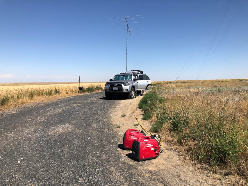
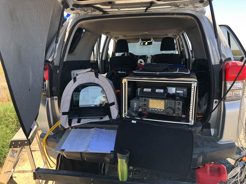
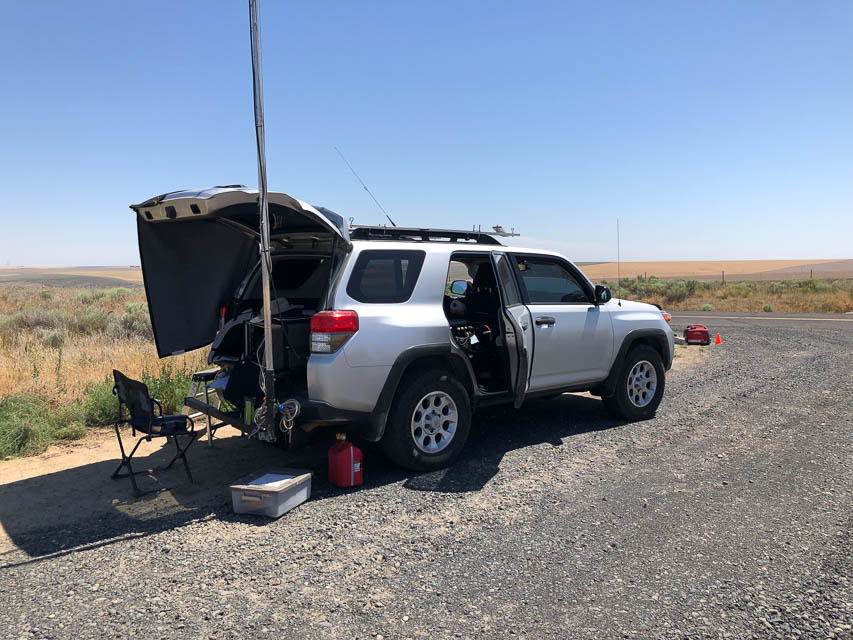
Excellent view in all directions, no trees or power lines, good height above average terrain. There is good cellphone access from nearby tower. This is my favorite site in DN07.
Restrictions: Respect the farmer's field and private property.
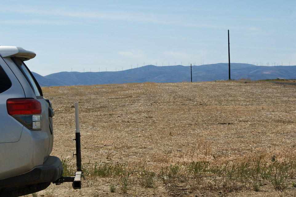
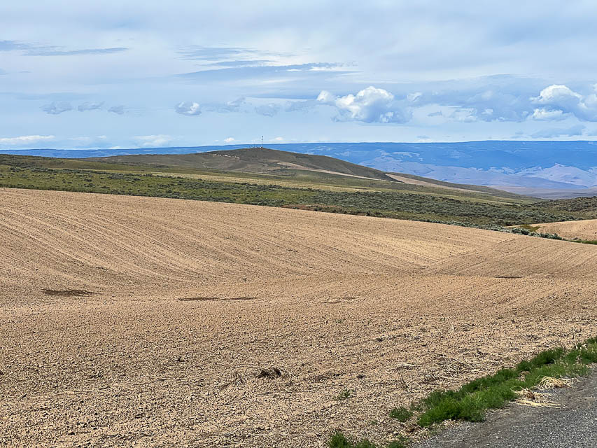
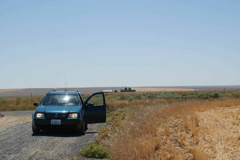
Ritzville, DN07tc61
| Latitude, Longitude |
|---|
| 47.090333, -118.365333 |
This small peak among the rolling wheat fields of eastern Washington offers good views in all directions with zero trees and blockage. This might be the spot that K7HPT used in the 2011 UHF contest where he worked me on Steptoe Butte and Gabor in BC.
Drive on I-90 to Ritzville turn-off exit 220 and turn south for about a mile. You can work from a wide spot along WA-261, or there is a ellphone tower nearby on a slightly higher hill that might make a good operating location. However, better yet is DN07pc a few miles west.
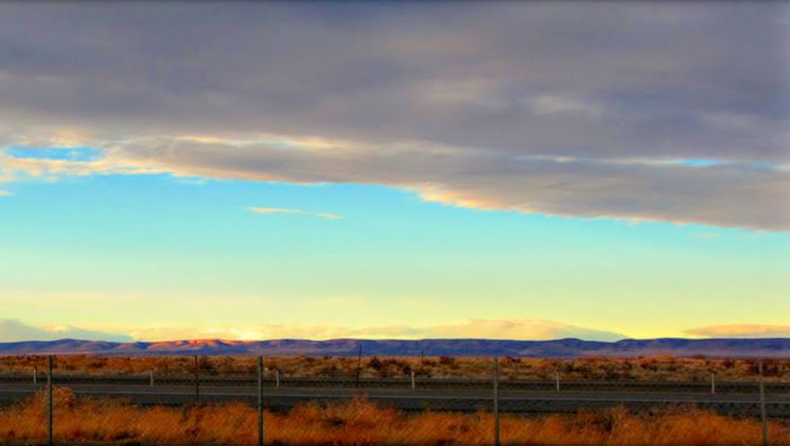
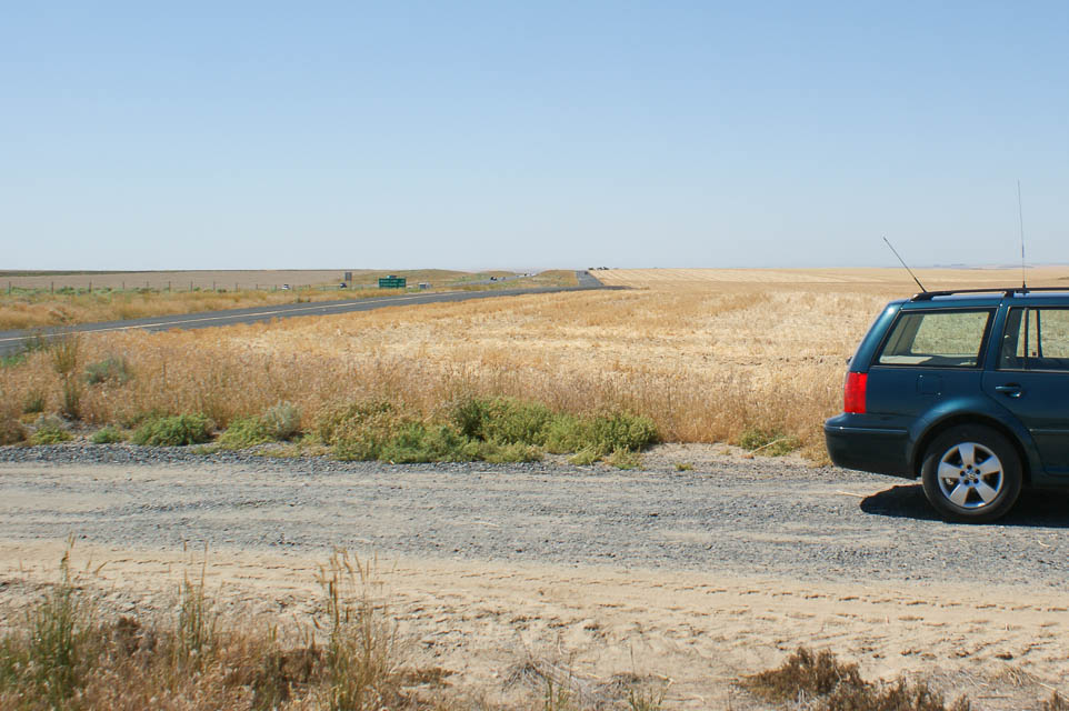
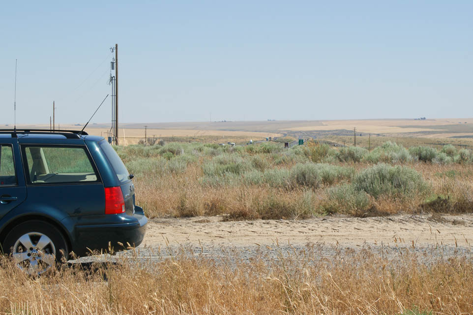
I-90 Sprague Rest Area, DN07xh60
| Latitude, Longitude |
|---|
| 47.294167, -118.032667 |
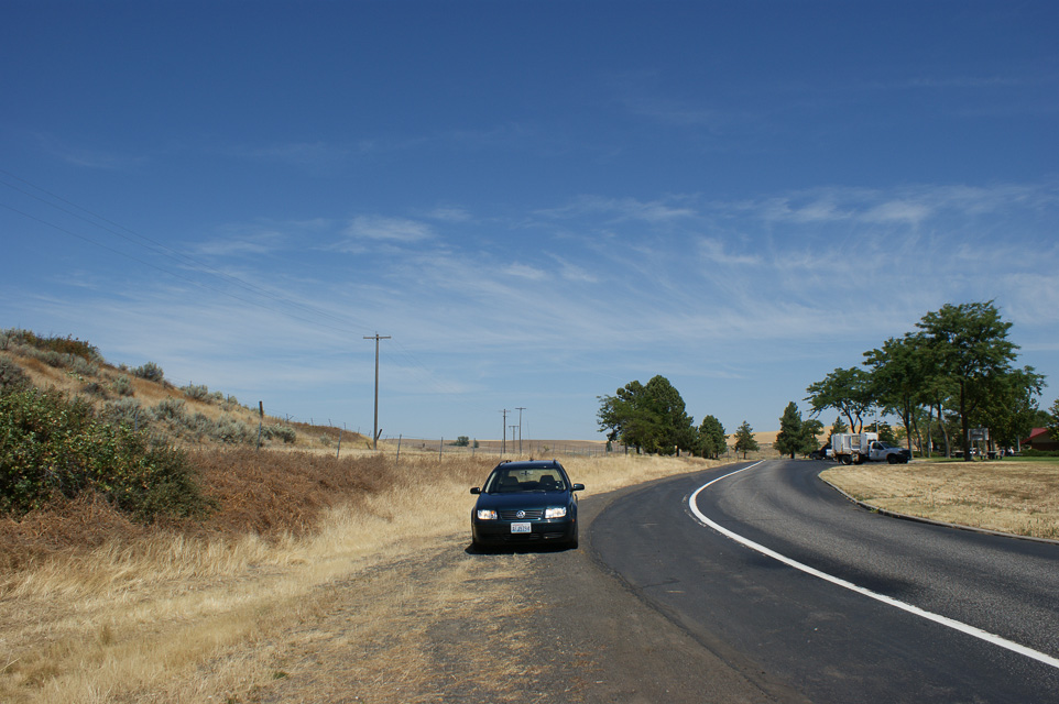
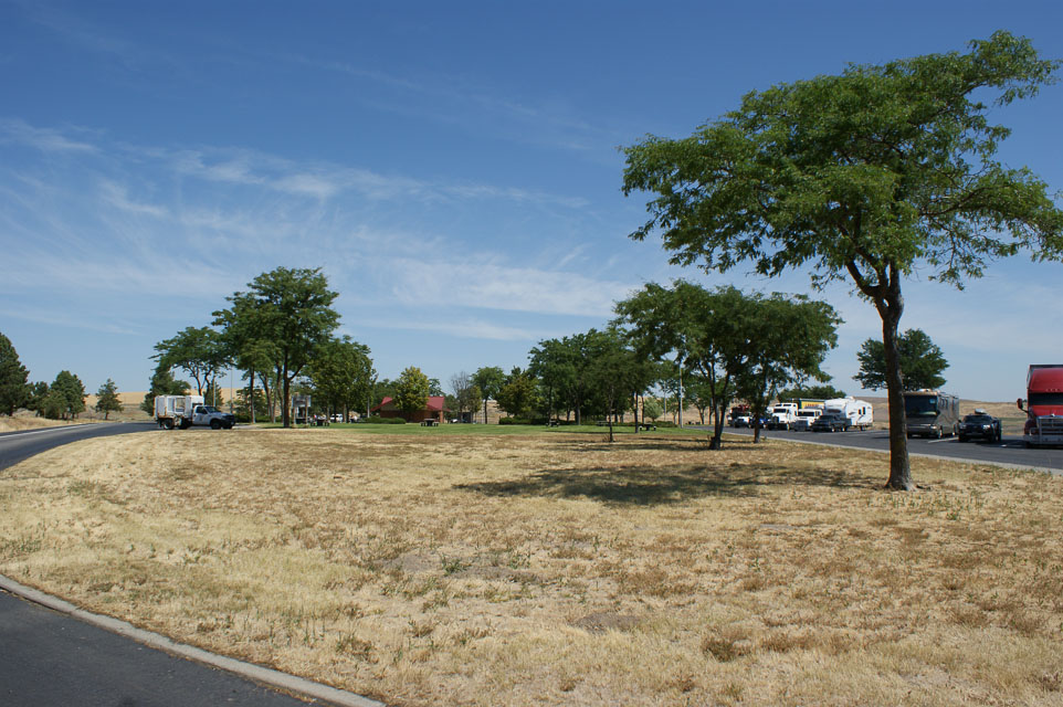
The I-90 westbound rest stop near Sprague in eastern Washington is centrally located between Spokane and Seattle. It has a good view south, east and southwest. However, a nearby hill blocks your view to north and west. Be sure to park in the trucker's area for a slightly better view.
This is probably a poor radio location; a slightly better choice is probably the Eastbound rest area. It's farther from the hill and you can use "car" parking.
| < Previous | Page 19 of 24 | Next > |
©1998-2024 Barry Hansen