Rover Location Database
Grid Square CN71

Grid Square CN91
5 locations - Dorris - Soldier Mtn Lookout - Sugar Hill Lookout - Lake Britton - Grizzly Peak
Potential VHF rover sites in grid CN91.
This section helps plan an E-W grid trip through CN71 - DN11.
CN91 dimensions are 103.6 by 69.2 miles.
Explore this grid in Google Earth or equivalent:
Dorris, CN91bw46
| 41.943370, -121.877725 |
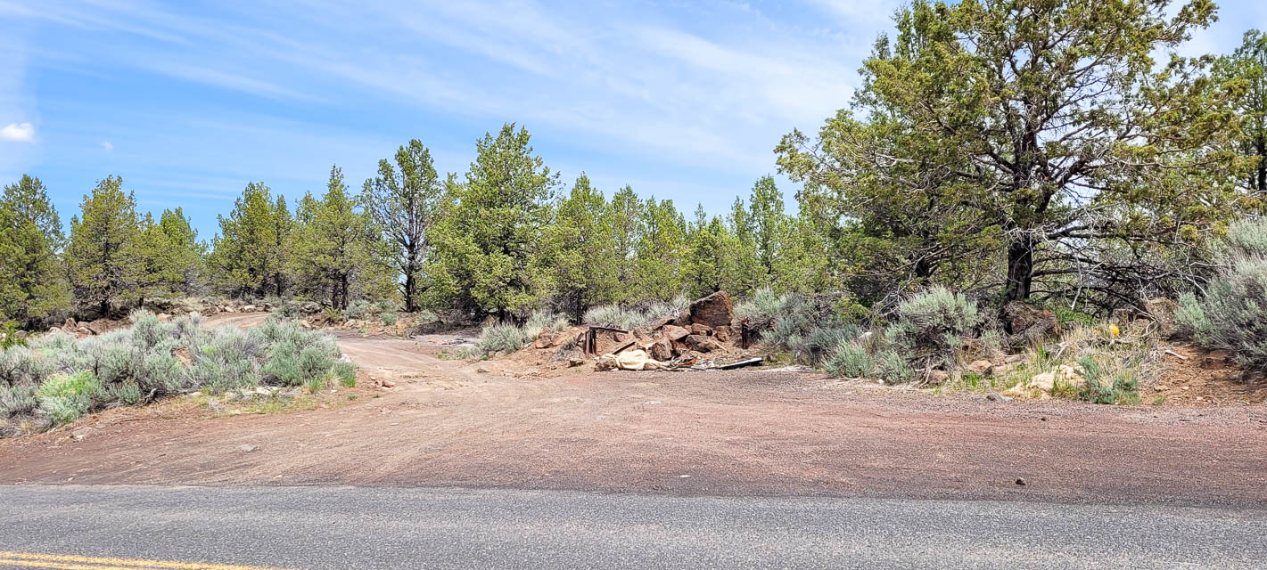
Quick and easy decent sized pull out on side of road. Has a dirt road that winds to the north under some high tension power lines.
Looks to have great take off in all directions, ridge has a slight rise to the north.
Driving directions: From Dorris, Ca head East on E 4th Street.
Turn right onto Center St.
Follow Center St onto Dorris-Brownell Rd.
Stay on Dorris-Brownell Rd. for 2-1/2 mile.
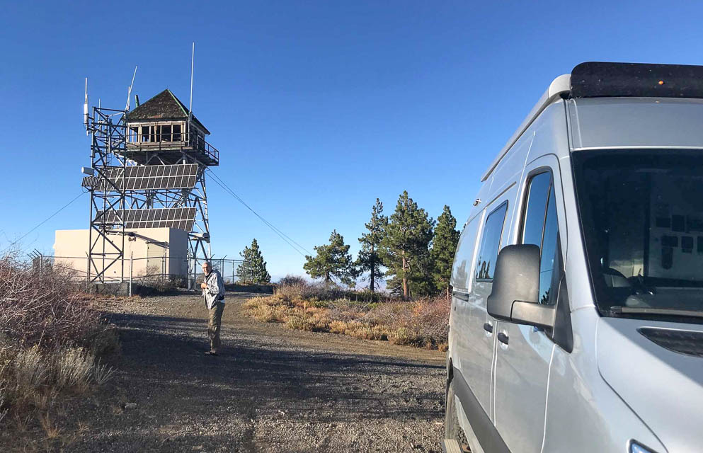
Soldier Mtn Lookout, CN91fb27
| 41.074166, -121.562738 |
Soldier Mtn Lookout is high above the Lake Britton plateau. It looks driveable on the satellite maps.
Sugar Hill Lookout, CN91ut02
| 41.803819, -120.326736 |
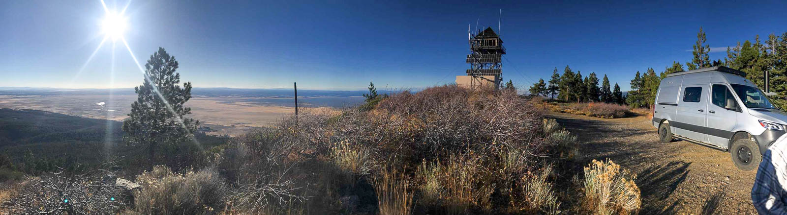
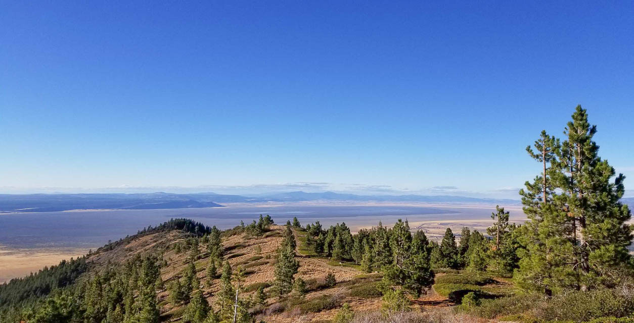
Sugar Hill Lookout is a peak in the Modoc National Forest above Goose Lake, just east of Hwy 395. It's a killer spot for radio, the highest spot around with open horizons in all directions.
Driving directions:
Use Forest Road 133C to get started on your way to Lassen Creek Campground, a nice place to camp and hike. From the Campground follow the road that is on the West side of the CG South for several miles to a good 4 way intersection. Your map may show it as Sugar Hill Rd but it is the hard right turn at the 4 way intersection -- continue up hill to the fire lookout.
You can camp at the lookout and there are nice toilets there. The graded road conditions are smooth for the most part and when we went in the fall even a passenger car would have been fine.
Stick to the best roads, even if it looks like a longer route, because some of the "roads" on the maps are for Jeeps or quads.
Restrictions: This is very exposed -- you can get strong wind and even some snow in October.
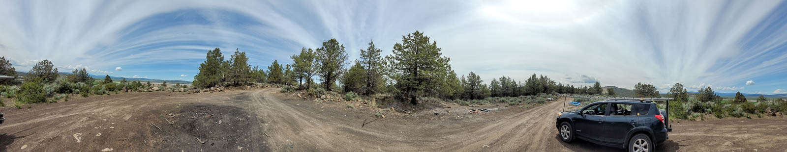
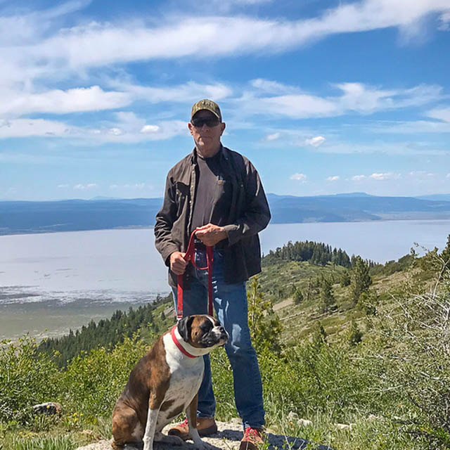
Lake Britton, CN91ea57
| 41.031160, -121.617873 |

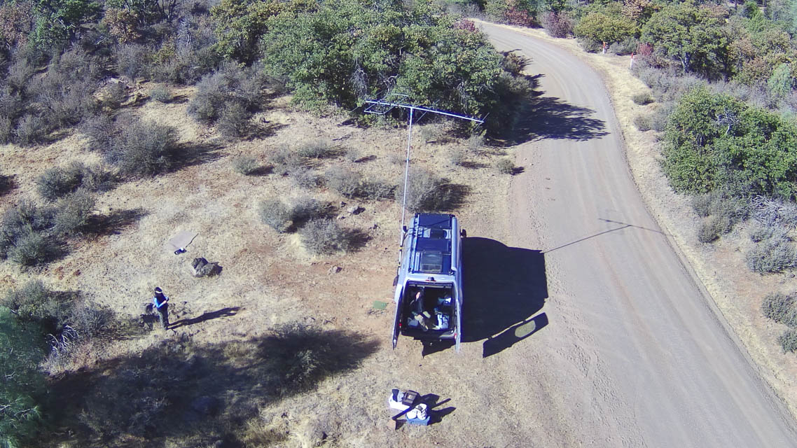
In the plateau above Lake Britton are several likely spots to operate, east of the HWY 89 and road 37N03 intersection, and just north of the Burney Falls / Lake Britton area.
It gets C+ for horizon but an A for accessibility, John NA6L worked many stations on 6m MSK144 from that location.
Driving directions:
The turn east from HWY 89 onto the smooth dirt road 37N03 is located at 41*2'00.00 N and 121*37'43.50W and from that location you'd head East looking for a good place to set up in the first few miles. John NA6L setup a mile or two in, just off the South side of the road in a piece of pasture. There may be better locations if you continue East; it's worth exploring. If you continue on that same road you can end up at Fall River Mills to save time if you are traveling toward the NE.
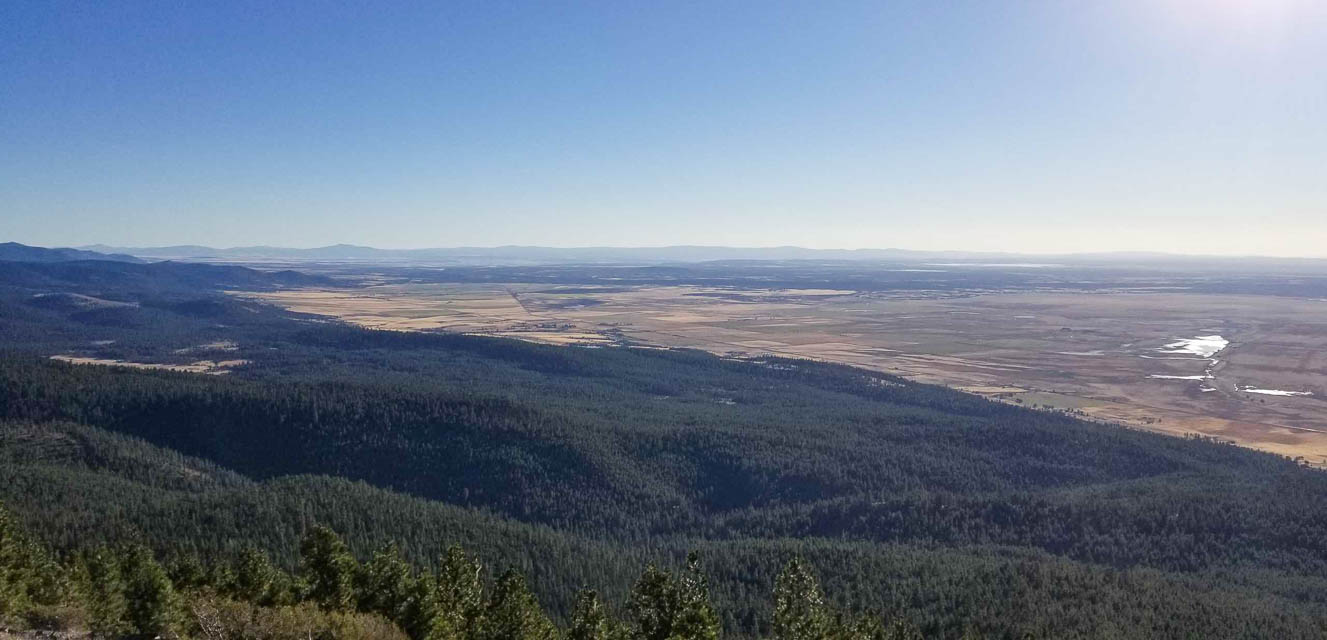
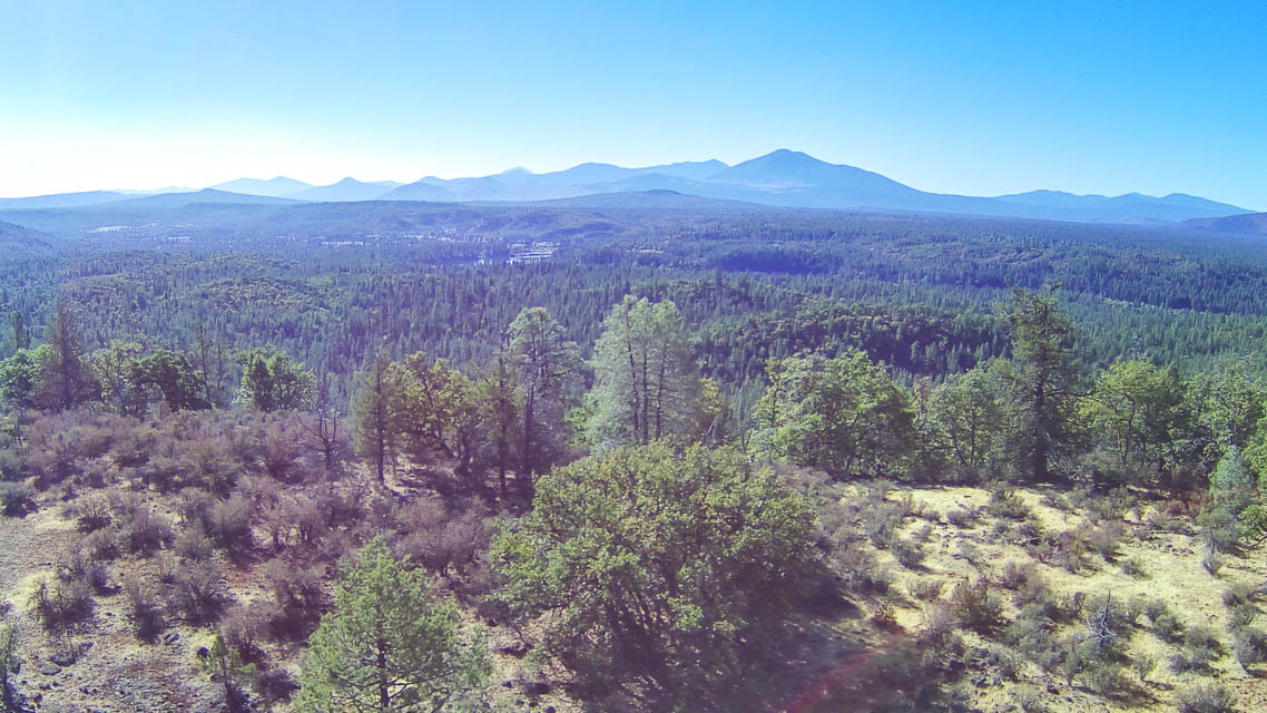
Grizzly Peak, CN91ad24
| 41.144585, -121.979267 |
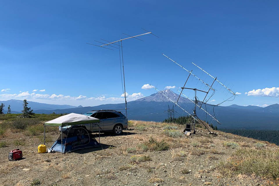
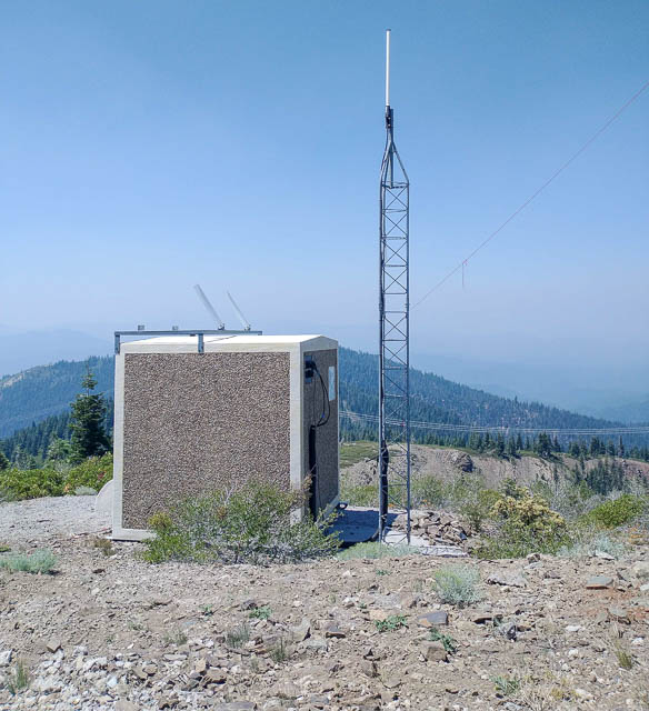
Grizzly Peak is a big conical mountain in the Shasta-Trinity National Forest. This is the best location in CN91 with open horizon and great take-off angles in all directions. The only problem is remoteness and the risk of wildfires.
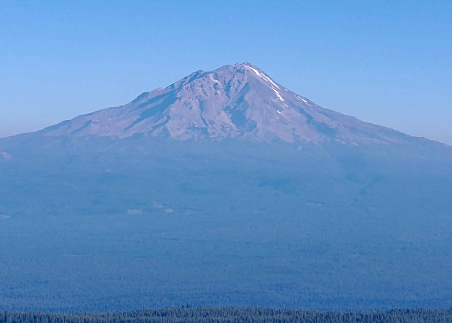
KA6U: The photo is KA6U's location at the top of Grizzly peak. CN91 and CN81 are both accessible from Grizzly peak. Elevation is about 6500 feet.
That is a volcano in the background, Mt Shasta. Last eruption 200 years ago. I was chased off the peak on Sunday morning when the storms started coming through that ending up setting the western US on fire with "dry lightning". At 0900 local time I saw storm clouds in the distance. By 0945 I had the array down. While I was packing the tent a few minutes later it blew hard enough to blow sand.
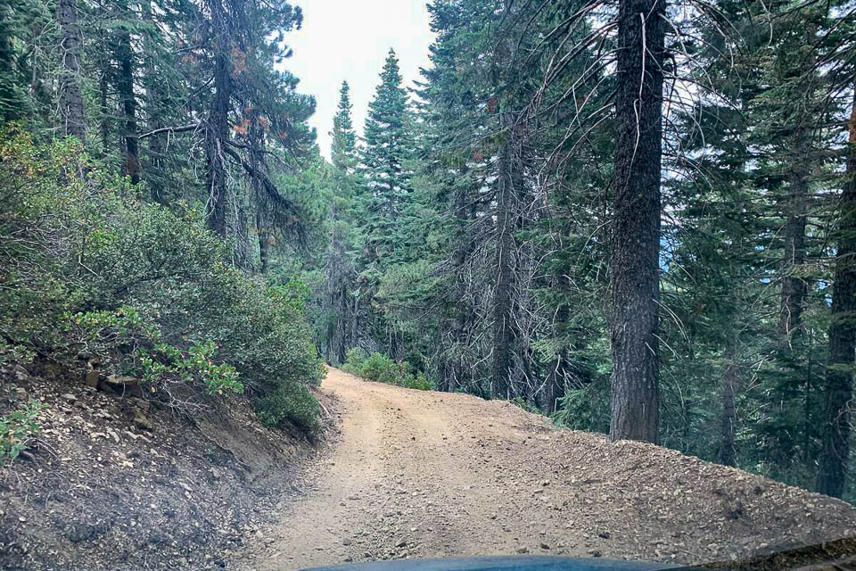
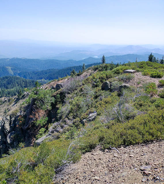
Other photo by KA6U is part of the road to Grizzly Peak near Mt. Shasta. About 25 miles of road like this took about 90 minutes. BIG potholes.
Driving directions: Start from the south, Big Bend, to reach Grizzly Peak. This is not accessible from the north. Ignore routes from online maps like Google, because the other access roads are locked gates.
Restrictions: Watch for logging trucks, forest fires, lightning storms, bears, killer potholes and you name it.
| < Previous | Page 3 of 5 | Next > |
©1998-2026 Barry Hansen