Rover Location Database
Grid Square CN71

11 locations - Low Divide Pit - High Divide - Myrtle Creek - Mystic Forest RV Park - Crissey Field Rec Site - Point St George - M Line - Maple Creek - Bald Hills - Redwood - NF 17N21
Internal error: $regionType is not allowed ('California)'
This section helps plan an E-W grid trip through CN71 - DN11.
CN71 dimensions are 103.6 by 69.2 miles.
Explore this grid in Google Earth or equivalent:
Low Divide Pit, CN71xv92
| 41.887354, -124.003631 |
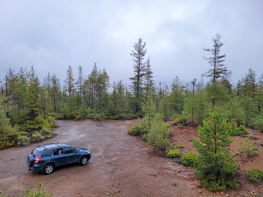
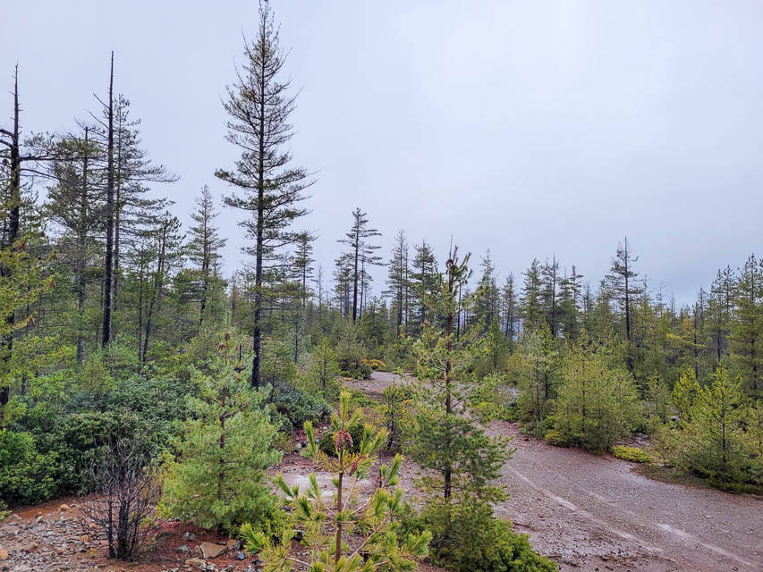
Low Divide Pit is an old mine tailing pit with easy access. Road is rough and steep so takes some time to get here, but easy to do in any vehicle while paying attention.
When you're in this area, check these:
Driving directions: From HWY 199 drive north on FS road 17N49 to entrance of tailings pile.
High Divide, CN71xv48
| 41.911751, -124.048202 |
Needs scouting.
Myrtle Creek, CN71xv31
| 41.880292, -124.057448 |
Mystic Forest RV Park, CN71xn18
| 41.576025, -124.074240 |
Crissey Field Rec Site, CN71vx49
| 41.999999, -124.210417 |

Don't go: the CN71-CN72 grid line is gated off. A sign says "Authorized Personnel Only" at the entrance to the stub road. You can try operating from the Visitor Center parking lot. However this is a popular place and very busy in the summer.
Point St George, CN71us98
| 41.783425, -124.252157 |
The Point St George parking lot is about about as far west as you can go in California. It's about fifty feet above sea level. Good distance away from the hills so take-off angle is pretty good. On 144 I have worked to Portland and down to Sacramento area with 150 watts and 12 elements, however mostly to big gun stations. - 2008 W7KLK
Driving directions:
From Crescent City, take W Washington Blvd toward the airport.
Continue straight on N Pebble Beach Dr to the end.
Restrictions: Daylight hours only.
M Line, CN71xb34
| 41.058553, -124.050953 |
Needs scouting.
Maple Creek, CN71xc03
| 41.097294, -124.079706 |
Needs scouting.
Bald Hills, CN71xg96
| 41.276680, -124.005109 |
Needs scouting.
Redwood, CN71xm50
| 41.504021, -124.041439 |
Needs scouting.
NF 17N21, CN71xu69
| 41.872490, -124.025289 |
Needs scouting.
| < Previous | Page 1 of 5 | Next > |
©1998-2026 Barry Hansen