Rover Location Database
Washington Rover Locations
- WA Map
- WA List
- Select Grid
- WA from CN87
- Rare WA Grids
- WA Counties
- CN76 Long Beach
- CN77 Forks
- CN78 Sekiu
- CN85 Portland
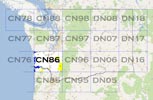
- CN86 Centralia
- CN87 Seattle
- CN88 Belling'm
- CN95 The Dalles
- CN96 Yakima
- CN97 Mt Rainier
- CN98 Mt Baker
- DN05 Pendleton
- DN06 Tri-Cities
- DN07 Moses Lk
- DN08 Okanogan
- DN16 Pullman
- DN17 Spokane
- DN18 Colville
- Add a Place
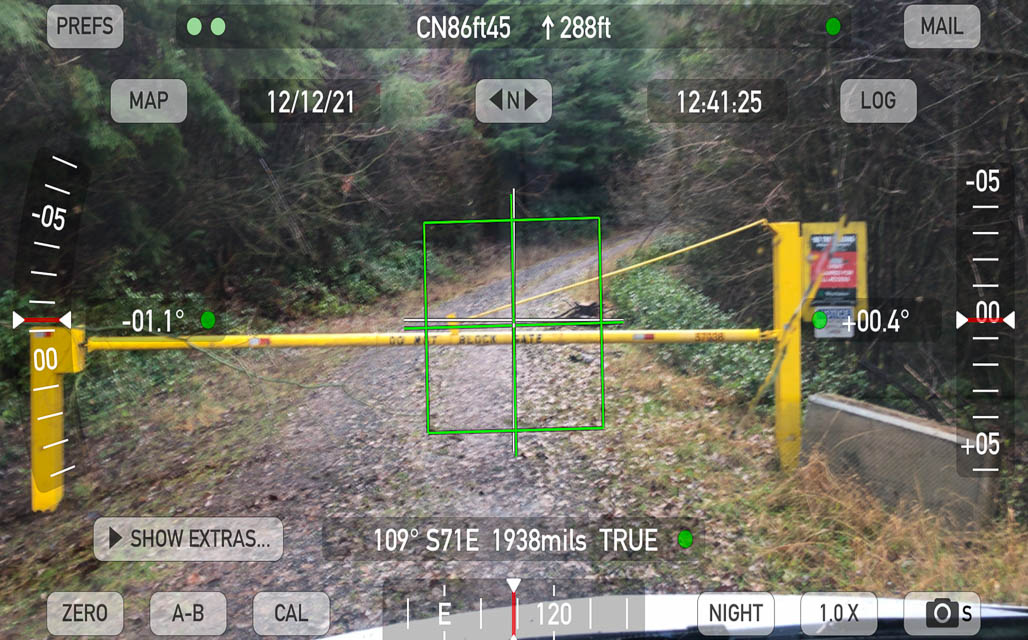
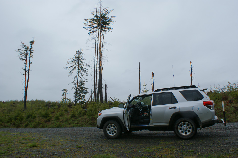
Grid Square CN86
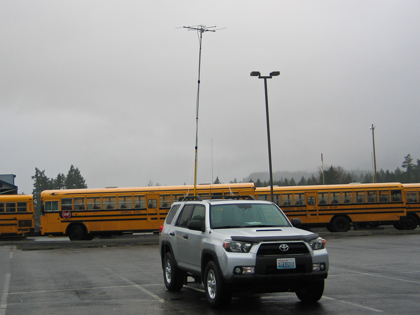
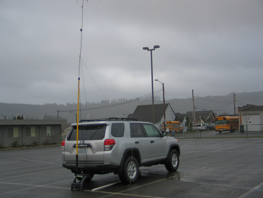
16 locations - Oakville Rd - Pioneer Hill - Capitol Peak - I-5 Toutle River SB - Mt Pleasant Cemetery - Dray's Mound - I-5 Scatter Creek - Mowich Road - Eatonville HS - Electron Resevoir - Kalama Gridline - Kalama Ridge - Smith Creek Viewpoint - Fern Hill - Nicolai Mtn - Fort Stevens State Park
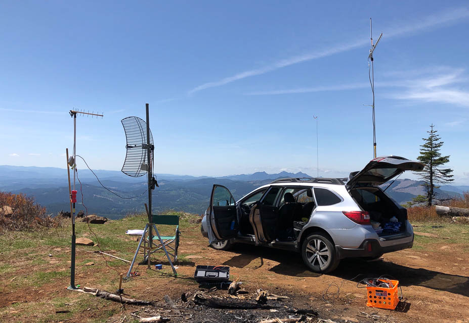
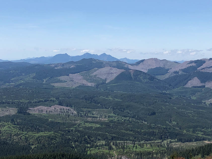
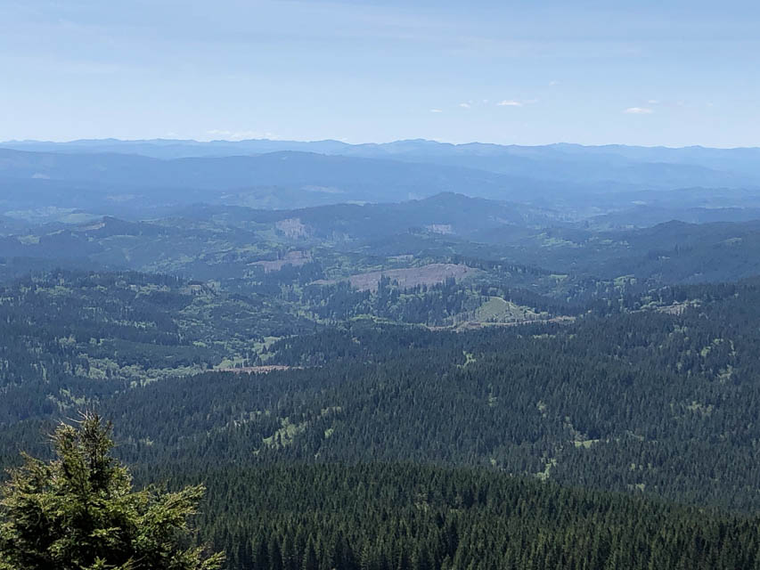
Potential VHF rover sites in grid CN86.
CN86 dimensions are 95.2 by 69.2 miles.
Explore this grid in Google Earth or equivalent:
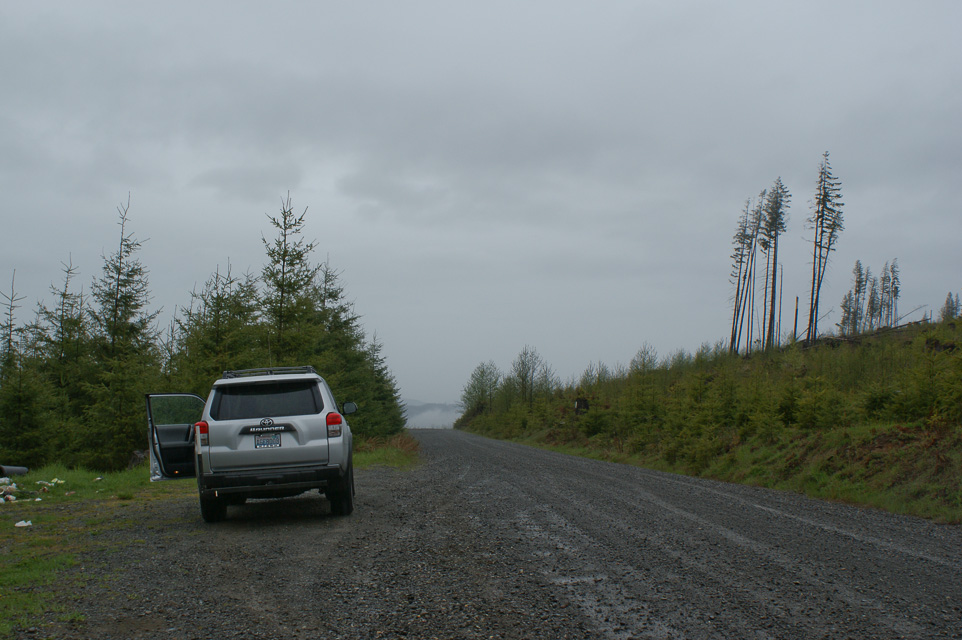
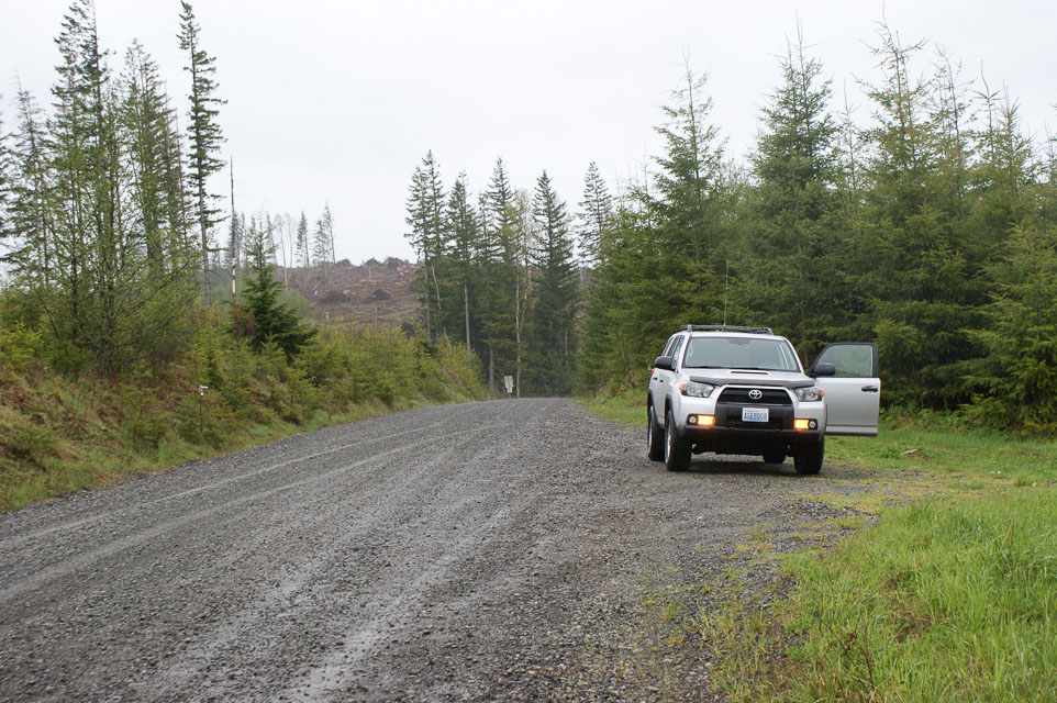
Oakville Rd, CN86hs09
| 46.789139, -123.410482 |
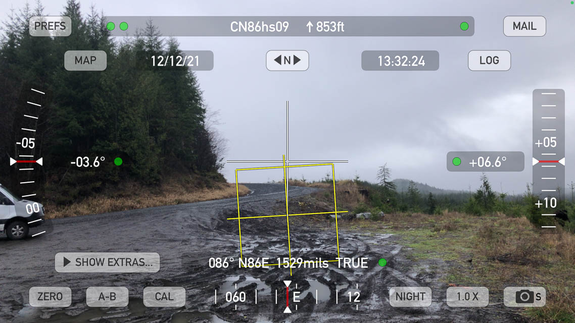
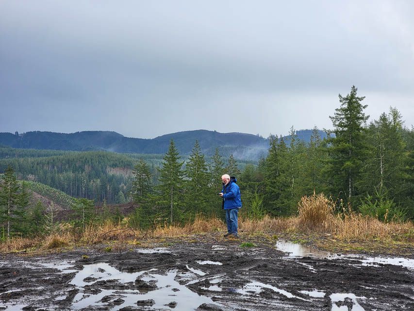
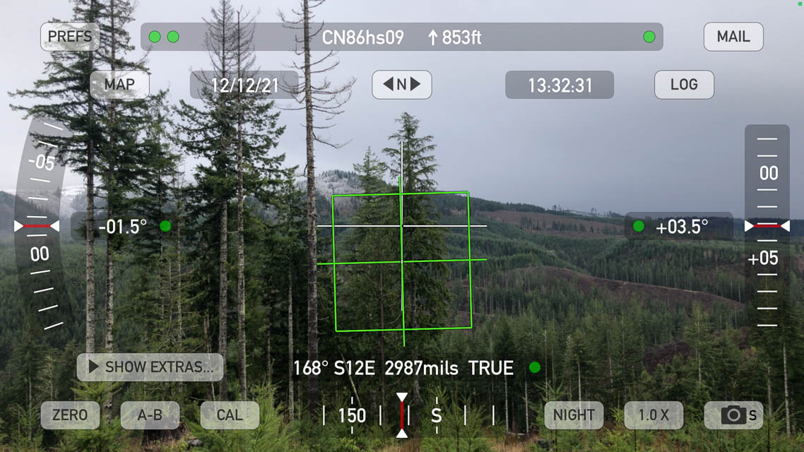
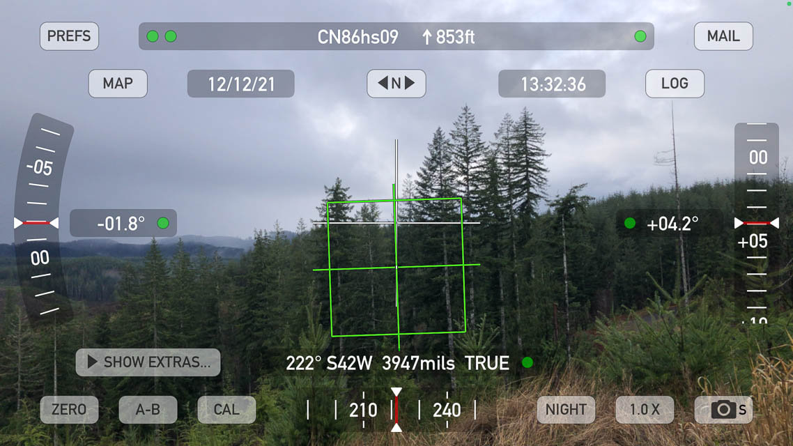
Large flat turnout along a logging road offers a good drop-off facing the rest of the country.
This is a winding forest road from Raymond to Oakville and is only paved for the first half, then it's simply a wide maintained logging road.
Restrictions: Turnout is muddy in winter. Unpaved road is generally good condition.
Pioneer Hill, CN86ft64
| 46.810807, -123.528024 |
Don't go, gated off. This looked like a promising knob but the road is closed at the bottom.
Capitol Peak, CN86kx34
| 46.976564, -123.135004 |
I-5 Toutle River SB, CN86ni14
| 46.352082, -122.907175 |
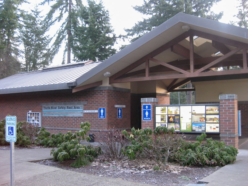
I-5 southbound milepost 54 rest area is a local high spot. The far end is probably the highest but don't expect too much with all these trees.
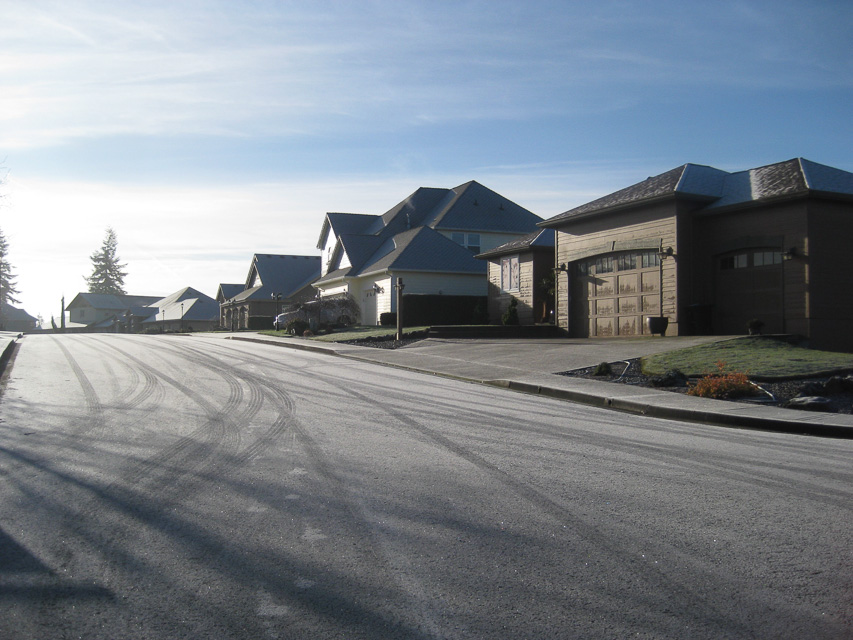
Mt Pleasant Cemetery, CN86ob03
| 46.054199, -122.832198 |
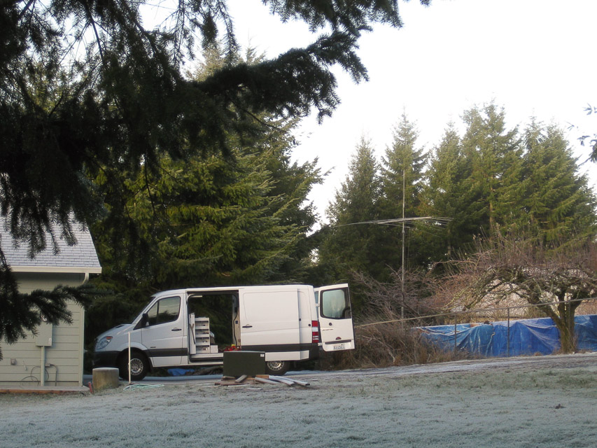
This is a good hill close to I-5.
Driving directions: Take Exit 32 (Kalama River Road) from I-5.
- Go East 1/4 mile on Kalama River Road and turn left onto Old Hwy 99 S.
- Go North 1.8 miles on Old Hwy 99 S to Mt Pleasant Road.
- Turn right onto Mt Pleasant Road and just go uphill.
- Follow signs to Mt Pleasant Cemetery.
- Turn right onto Hale Barber Road, and go 2 miles.
Restrictions: Not much place to park.
Dray's Mound, CN86nb65
| 46.066300, -122.864800 |
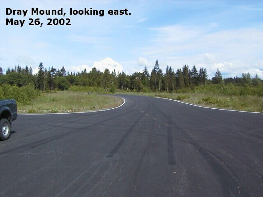
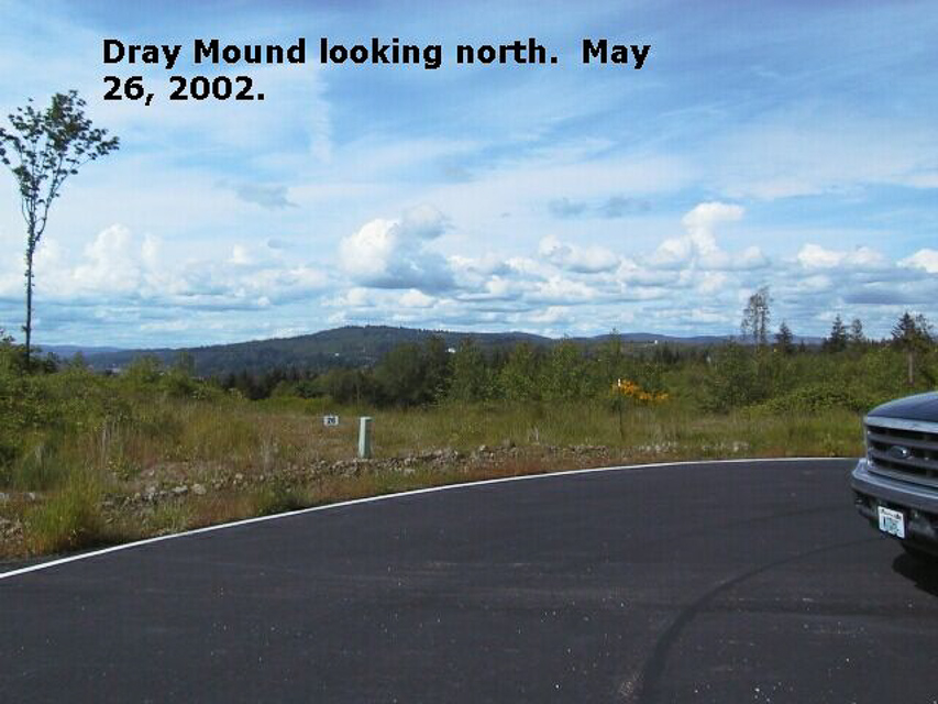
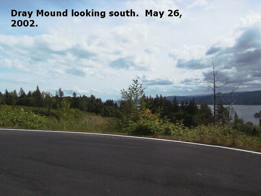
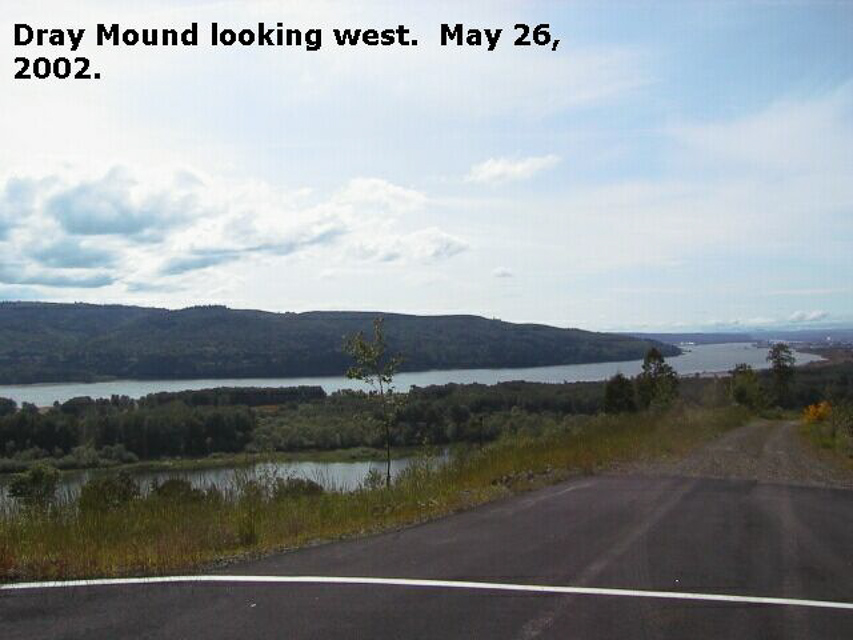
High spot just off I-5, but don't go, it's gated off.
Driving directions: - Take Exit 32 (Kalama River Road) from I-5.
- Go East 1/4 mile on Kalama River Road and turn left onto Old Hwy 99 S.
- Go North 1.8 miles on Old Hwy 99 S to Mt Pleasant Road.
- Turn right onto Mt Pleasant Road and almost immediately turn left into the Carrolton Crest development (stone entrance).
- However, as of Jan 2013 this is now gated and normally closed.
- This community is an exclusive and private road.
- Instead, continue on up the hill to the Mt Pleasant Cemetery, CN86ob.
Restrictions: This is gated shut for private access only, as seen in Jan 2013.
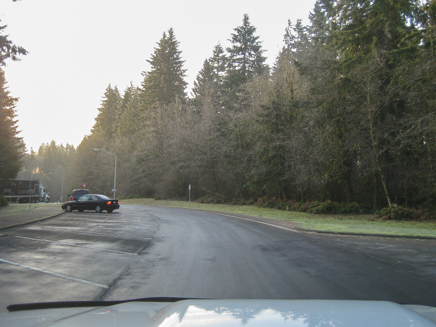
I-5 Scatter Creek, CN86mu10
| 46.836100, -122.986200 |
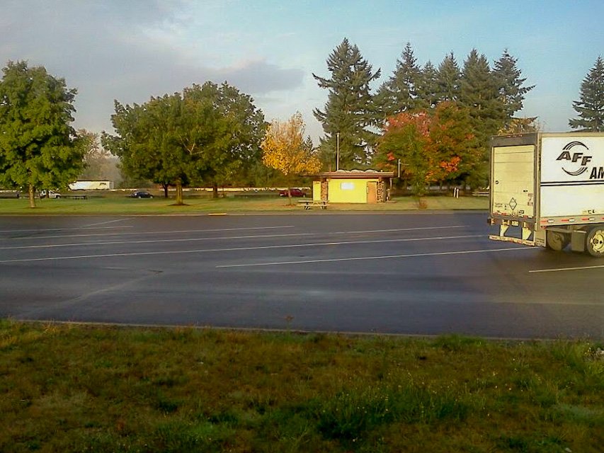
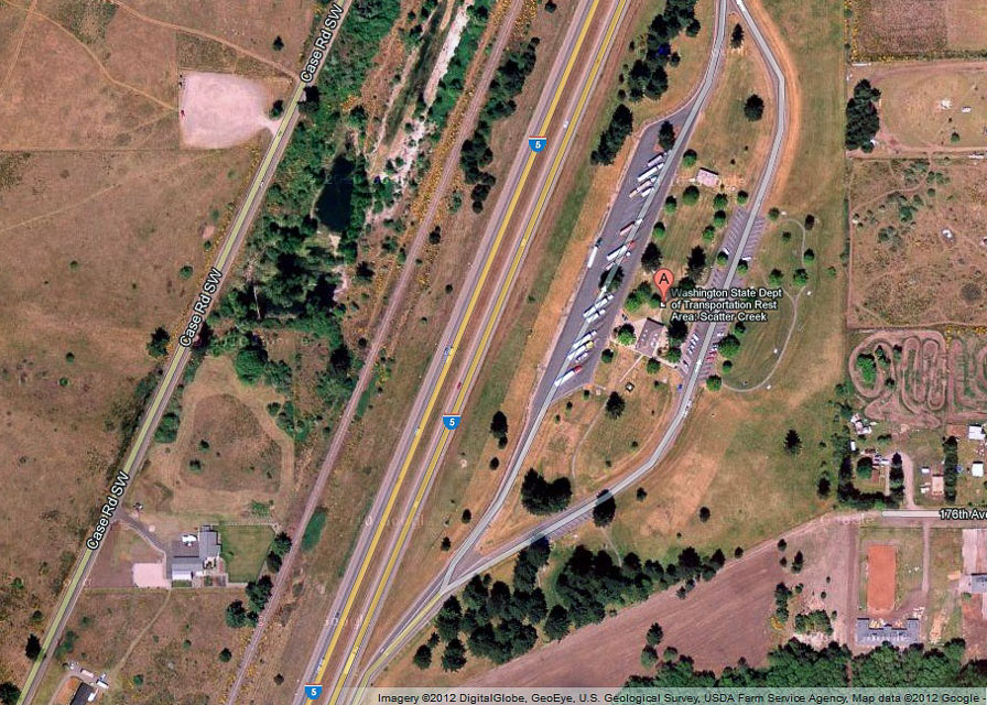
WSDOT rest stop on I-5 in broad flat valley offers quick off-the-freeway access with good sightlines to Seattle and Portland metro areas. There's not much else there except clean restrooms.
Driving directions: I-5 rest stop about 20 miles south of Olympia. Note access only from northbound lanes.
Mowich Road, CN86xx82
| 46.967000, -122.009200 |
A mile west of CN96aw is a wide spot on Mowich Road, offering good propogation from CN86xx. These two spots together make an excellent place for operating a VHF contest. (Please bring a trash bag and help pick up after the careless littering.)
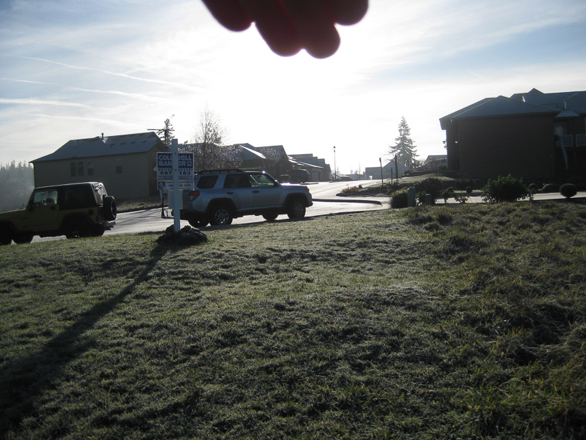
Eatonville HS, CN86uu67
| 46.862544, -122.280297 |
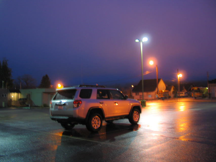

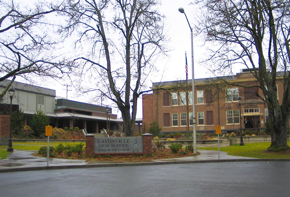
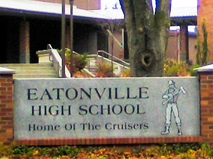
Eatonville High School provides a convenient large parking lot in this shallow valley near Mt Rainier. This site was my backup plan after failing to find a route up to Electron Reservoir.
Although the location is surrounded by low hills, we had an excellent path into the greater Seattle area (50 miles) and a marginal path into Portland, Oregon (100 miles). There were lots of people on the weak-signal net this morning as we enter the christmas holiday season and I made six contacts.
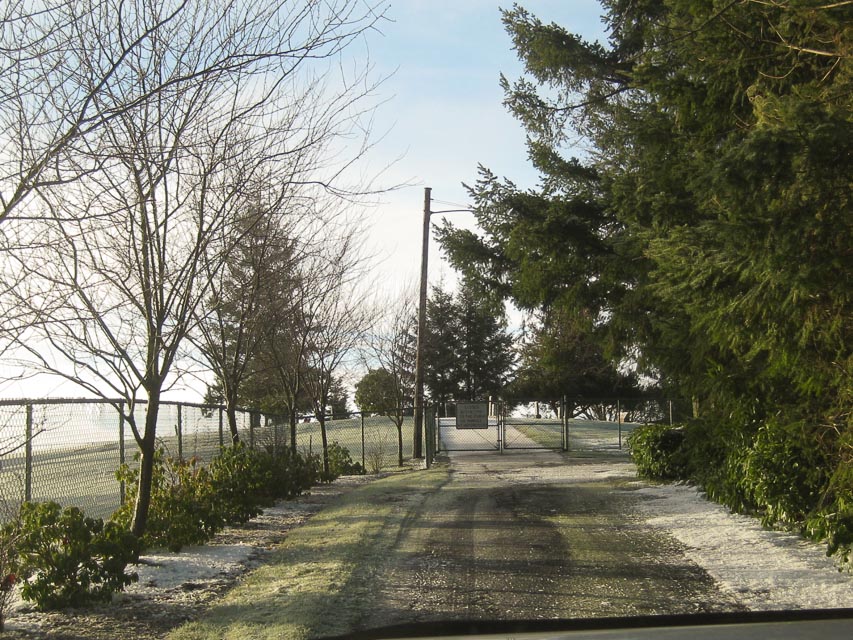
Electron Resevoir, CN86vw20
| 46.920371, -122.232105 |
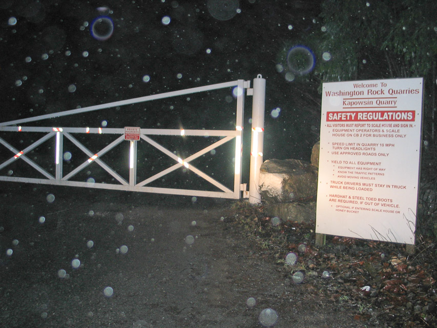
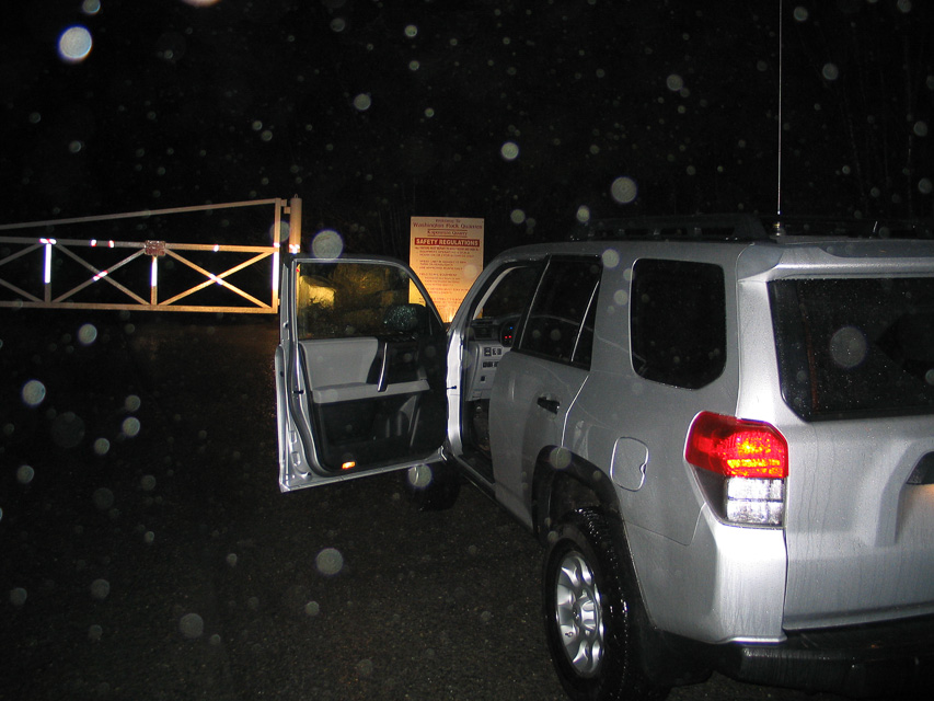
This name is simply too good to pass up! "Electron Resevoir" is a lake near the city of Electron, WA. And it is in CN86 which is a grid square that I need.
Unfortunately it looked like private property and the entrance was gated shut. I tried to visit on an early Sunday morning, Dec 18, 2011. The good news is that the road is nicely paved. The bad news is that it goes through the "Kapowsin Quarry" owned by Washington Rock Quarries. I drove to nearby Eatonville High School, instead.
But! The satellite maps show a possible alternate route on public roads. My lame GPS has really bad routes on forest roads. Next time, I will try this route.
Kalama Gridline, CN86na80
| 46.000100, -122.847500 |
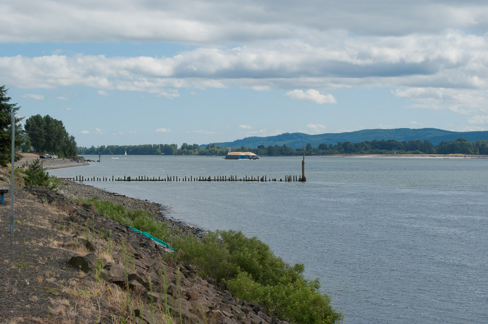
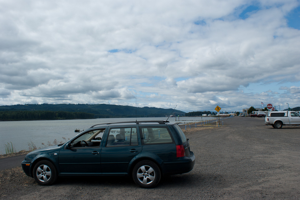
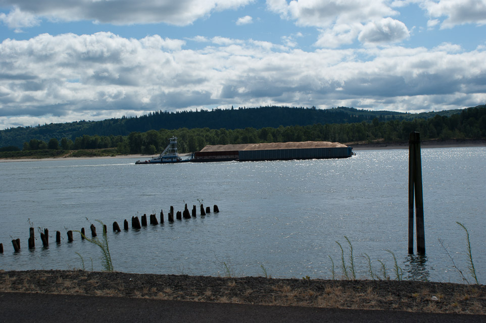
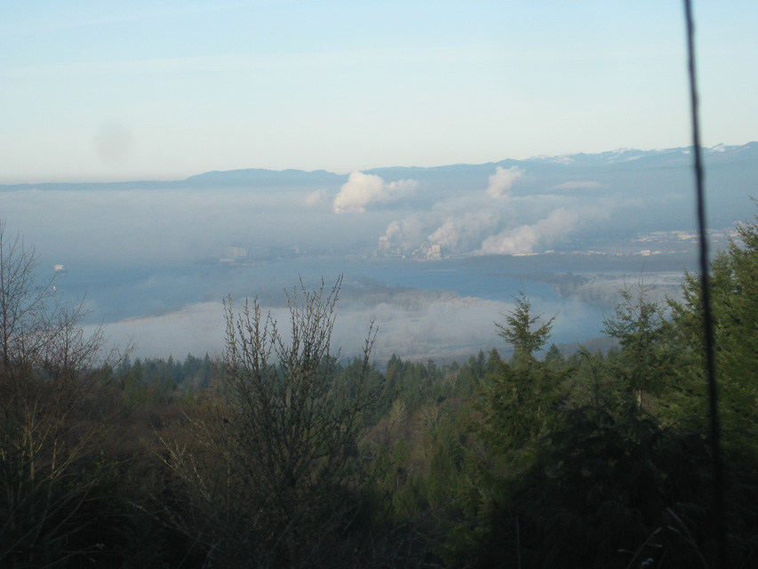
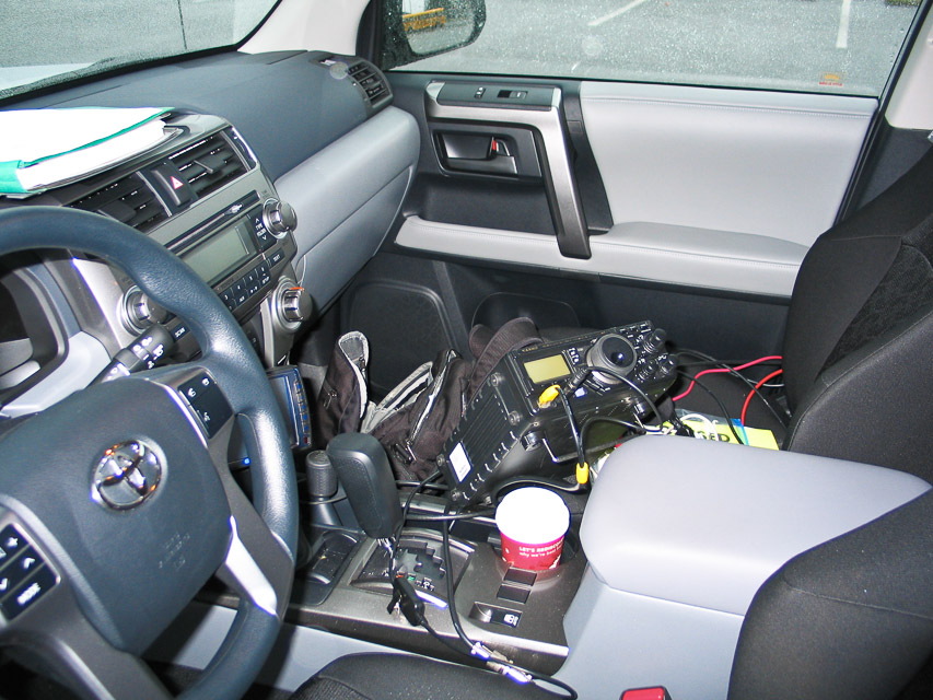
This is a good operating location for reaching Portland from the north side of the CN86-CN85 grid border. I made several unscheduled contacts on both 144.210 and 432.100 USB and CW.
This is along I-5 on the Washington side of the Columbia River, where you can watch lots of recreational boats, big river barges and railroad traffic. See also Kalama Gridline CN85.
There is a park and playground just north of the grid line. The park has clean restrooms.
Driving directions:
Southbound I-5: Take the Oak Street exit. Go right on Oak, then left (south)
on Hendrickson Drive.
Northbound I-5: Take the Robb Road exit and go left under the freeway.
Go right on Toten Road, jog left and then continue north on Hendrickson Drive.
You need a GPS to mark the exact grid line.
Kalama Ridge, CN86na93
| 46.015300, -122.834200 |
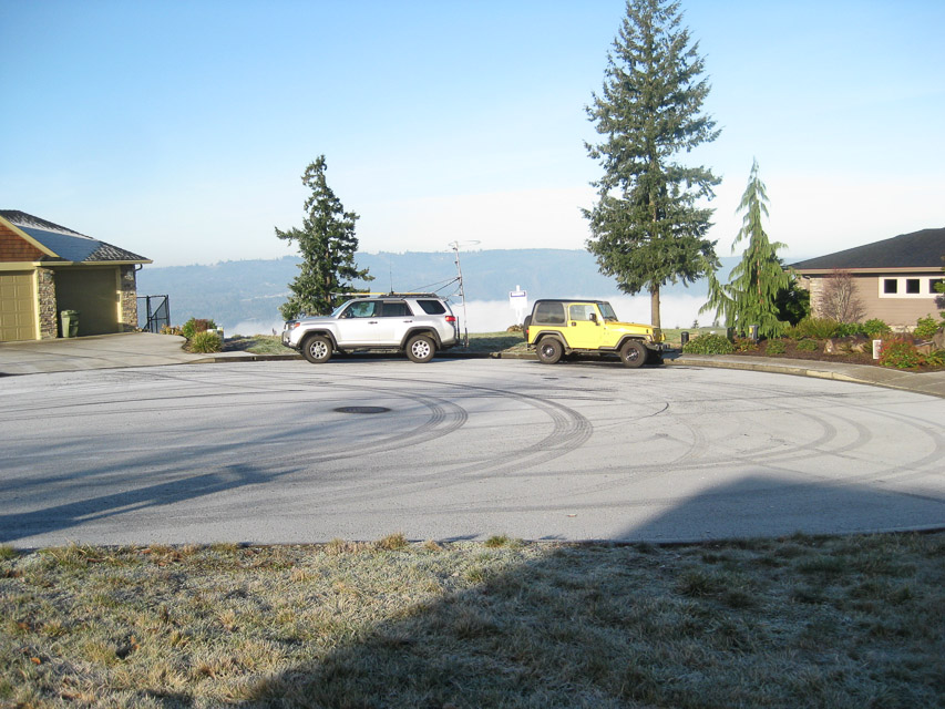
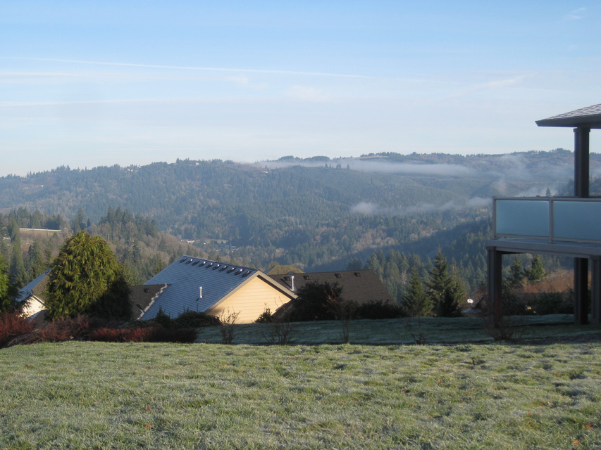
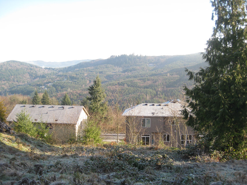
This site has excellent north-south coverage on all bands. There are several possible operating locations. This is filling up with homes over the last few years, and so will be available for a limited time.
Driving directions: - I-5 exit 30, merge onto W Frontage Rd
- W Frontage Rd turns left and becomes Elm St
- Go up hill on Elm street to "T"
- Left onto N 4th St
- Take second right onto Geranium Street
- Geranium St turns left and becomes Taylor Rd
- Up hill and turn left onto Horizon Drive
- Take the first left onto "Eli Avery Ave" to cul de sac
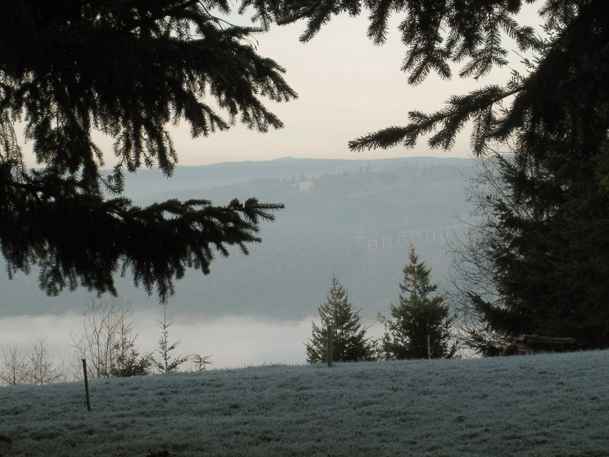
Smith Creek Viewpoint, CN86wg50
| 46.252708, -122.118626 |
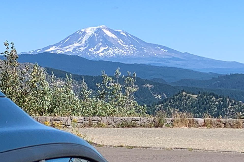
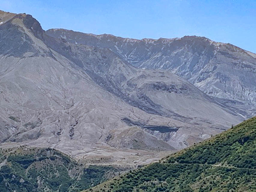
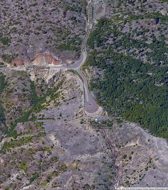
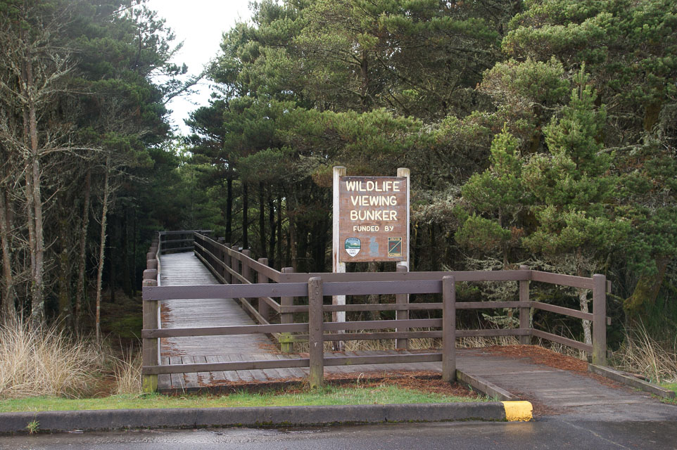
Smith Creek Picnic/Viewpoint is a scenic overlook on the SE side of Spirit Lake alongside Mt St Helens, in the Gifford Pinchot National Forest. It's close to the Windy Ridge location and worth stopping for pictures.
With a large parking lot and vault toilet, this is a wonderful place for a picnic, as the name says.
Driving directions: Approach from Randle to the north, or Cougar from the south.
NF-99 is closed during the winter.
Restrictions: A recreation pass may be needed.
Fern Hill, CN86mc01
| 46.088063, -122.998061 |
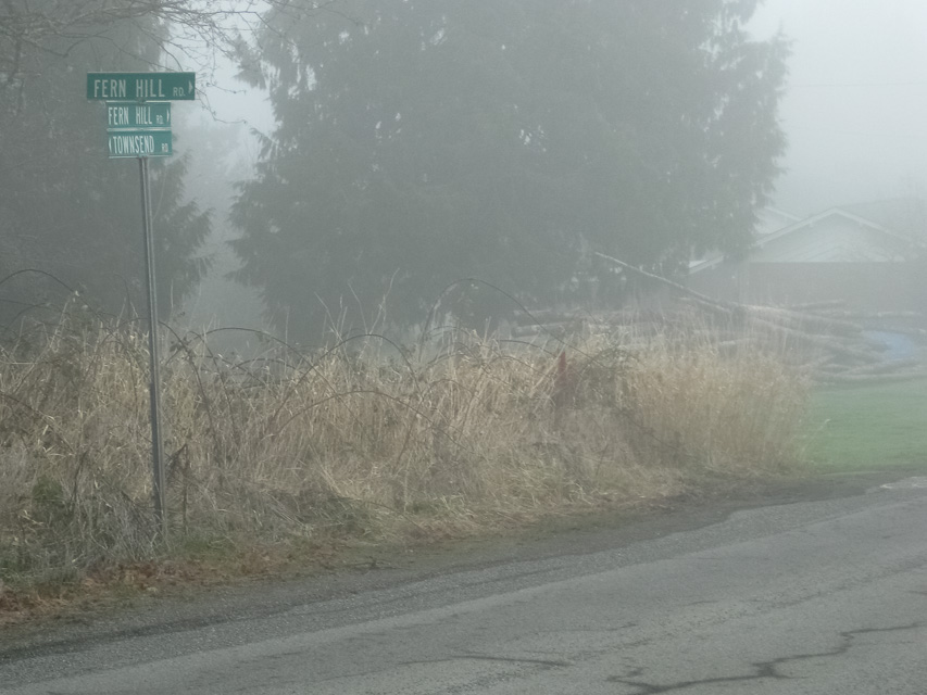
There is a small slice of CN86 in Oregon. The main advantage is easy access and near to Portland for easy to make contacts in the metro center. The park itself has no altitude to speak of; drive uphill to the ridgeline to find an operating spot. From the valley there is easy return across the river into Longview, WA.
Don't use the Hudson-Parcher city park itself - it is deep in the valley with a high-tension power line. But the hilltop above has good propogation to Seattle and Portland.
Nicolai Mtn, CN86gc50
| 46.086194, -123.452220 |
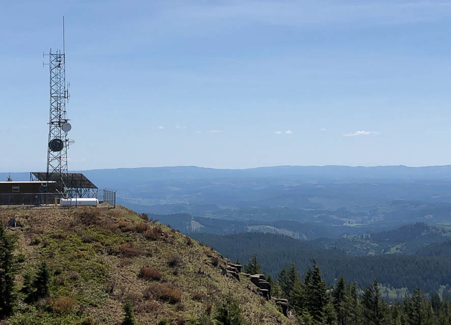
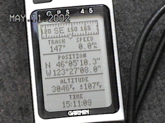
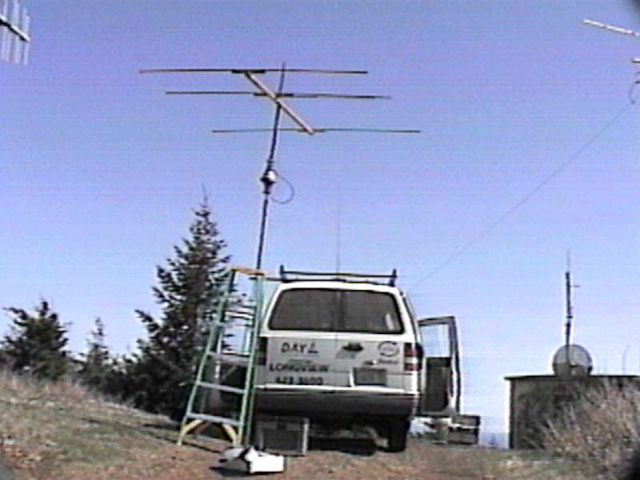
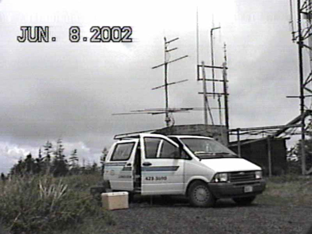
Visited by N3EG during the 6 meter sprint in May 2002.
Also visited by Mark KE7MSU in the microwave sprint in May 2019.
Driving directions: From Earl N3EG in May 2002:
- Take highway 30 west from Longview.
- After Clatskanie, Westport, and Wauna, you will start up Bradley Hill.
- At the crest of the hill, look on the left for the first dirt road.
- As soon as you start up the road, you will see a cellsite on the left.
- Keep going and follow the main road up using CB channel 29.
- After 4.5 miles, you will want to keep right.
- You will see a rock with "OSU" painted on it if you're going the right way.
- At 5.5 miles you will see a rock pit on the right and start going downhill.
- This condition is normal - do not panic.
- After 8.5 miles you will see a rock pit on the left, and you will take a right up the hill.
- Stay right at the next intersection and you will be on Foster Hill road.
- Take the next right on Simonsen road and at the next intersection go straight.
- You will come to a gate - if it's locked, go left - otherwise, go straight.
- You will wind up at the site either way, but straight is better.
- Warning: On the way down, you'll find an annoying deceptive fork in the road. Go left.
- On the main line, you'll find another fork farther down - go right.
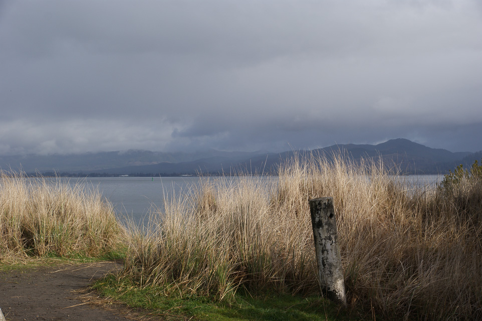
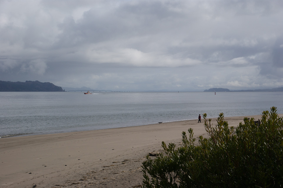
Fort Stevens State Park, CN86af14
| 46.226500, -123.990000 |
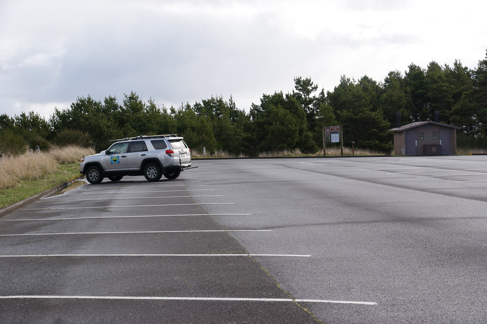
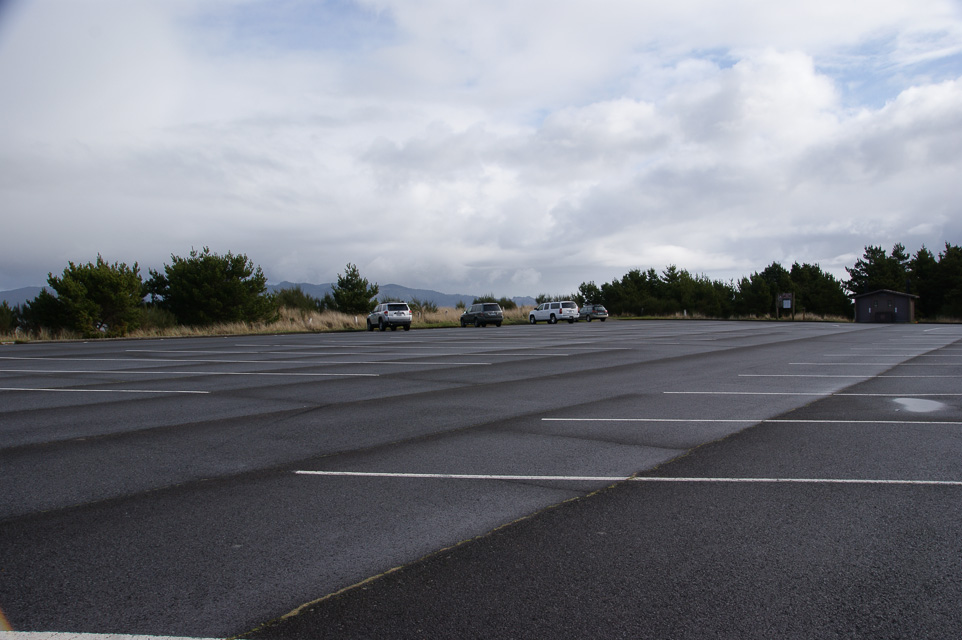
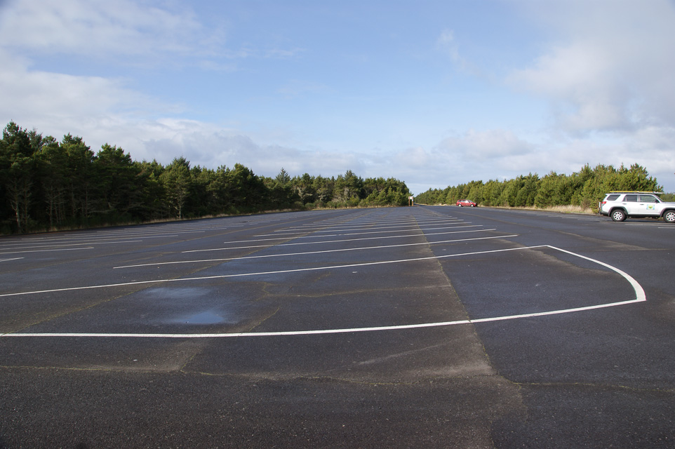
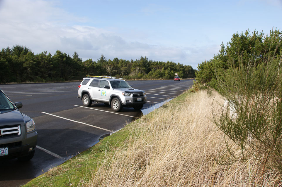
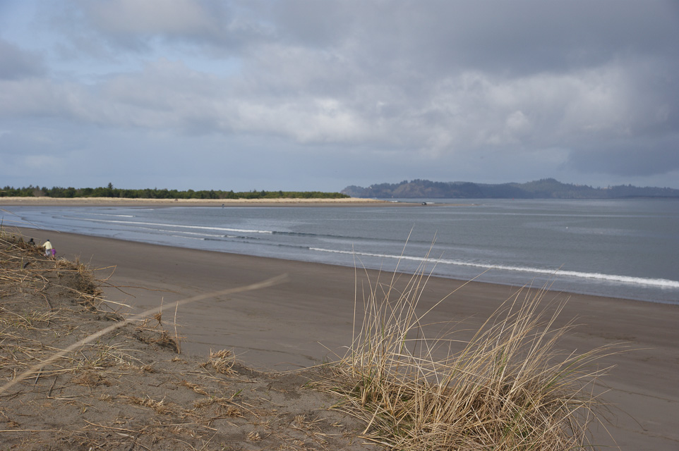
This is a parking lot in Fort Stevens State Park.
This is a wide area of flat land on the end of a spit, and the propagation in all directions is very good. The path to the north and northeast is over the Columbia river, so there is a good launch angle before you hit the distant coastal mountains.
This is an excellent spot for watching huge cargo ships entering the Pacific Ocean, taking long walks on the beach and watching wildlife like birds and elk.
Also see CN87 Fort Stevens only a mile away.
Driving directions: In Oregon, drive north and west until you can't.
- Find Parking Lot D.
Restrictions: No fee to park out on the spit.
- Restroom but no other services.
| < Previous | Page 11 of 25 | Next > |
©1998-2026 Barry Hansen