Rover Location Database
Washington Rover Locations
- WA Map
- WA List
- Select Grid
- WA from CN87
- Rare WA Grids
- WA Counties
- CN76 Long Beach
- CN77 Forks
- CN78 Sekiu
- CN85 Portland
- CN86 Centralia
- CN87 Seattle
- CN88 Belling'm
- CN95 The Dalles
- CN96 Yakima
- CN97 Mt Rainier
- CN98 Mt Baker
- DN05 Pendleton
- DN06 Tri-Cities
- DN07 Moses Lk
- DN08 Okanogan
- DN16 Pullman
- DN17 Spokane
- DN18 Colville
- Add a Place
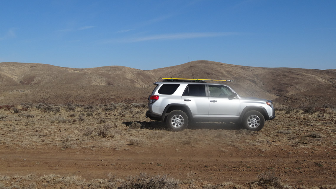
Grid Square CN96
14 locations - Darland Mtn - Cowiche Upland - Cleman Mtn - Paradise - Trout Lake - Huckleberry Access - Peavine Ridge - Whiskey Dick - Sunnyside Overlook - Mt Rainier Summit - Rainout Ridge - Mowich Road - Toppenish Ridge - I-90 Rye Grass
Potential VHF rover sites in grid CN96.
CN96 dimensions are 95.2 by 69.2 miles.
Explore this grid in Google Earth or equivalent:
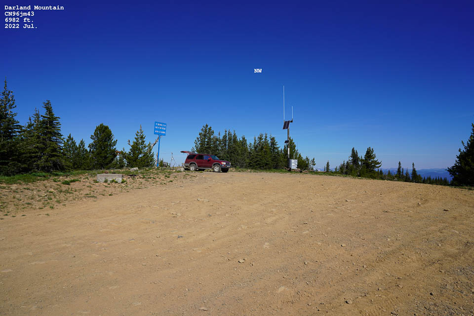
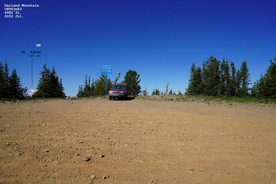
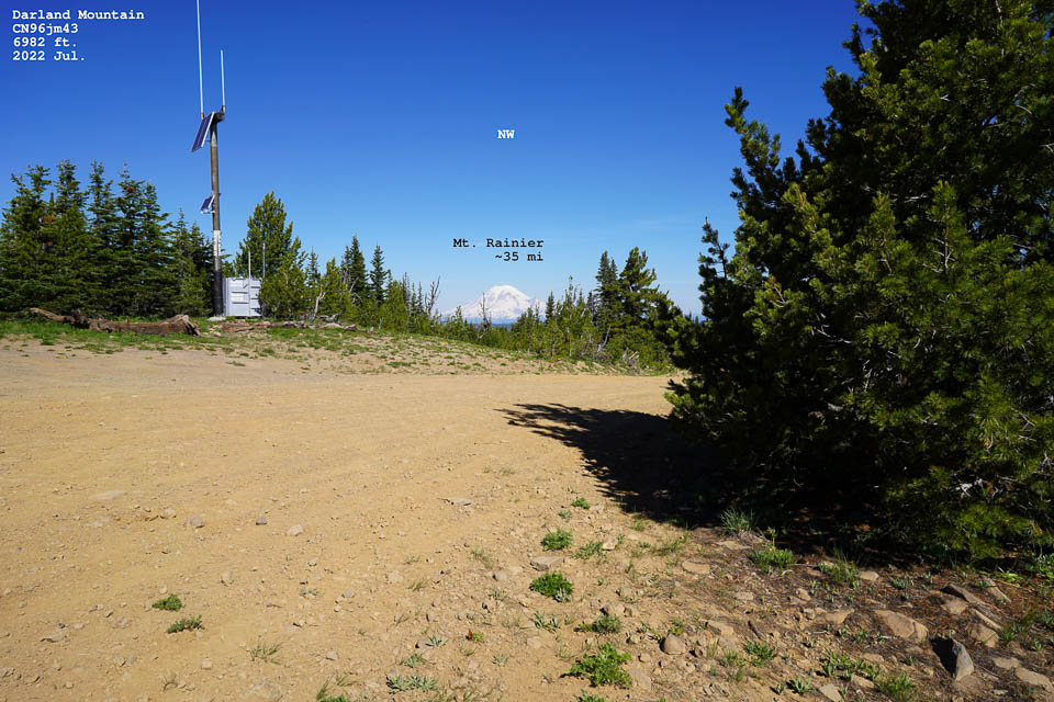
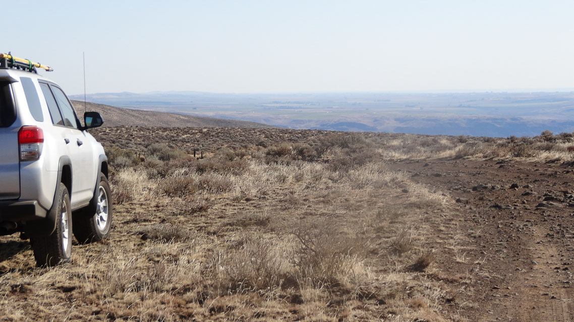
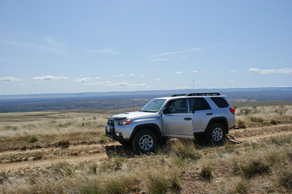
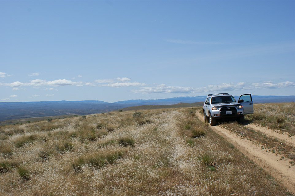
Darland Mtn, CN96jm43
| 46.513666, -121.209535 |
SOTA Summit W7W / MC-010
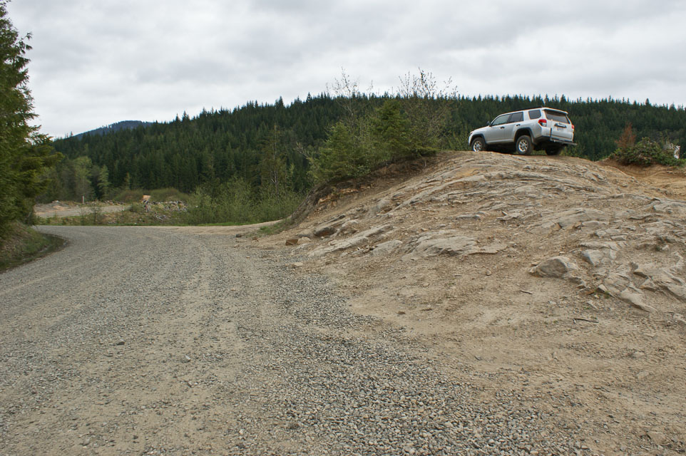
Darland Mountain is a killer location because of its elevation. I read that it is one of WA highest public road.
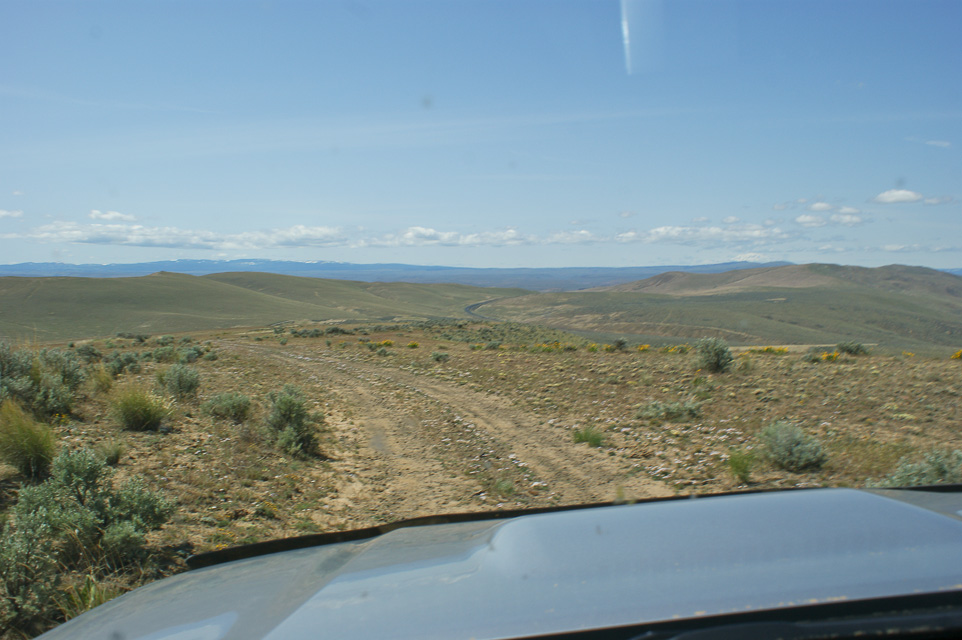
From Union Gap drive west into Ahtanum. Once you reach the campgrounds you can choose North or Middle Fork roads. Both leads to Darland. Large car park, drive up is a bit rough towards the top, but no low gear required. Car park is right at the border of Yakima Native land. I used the North Fork road. Talked to other people on top and they said that the Middle Fork road was also rough towards the end.
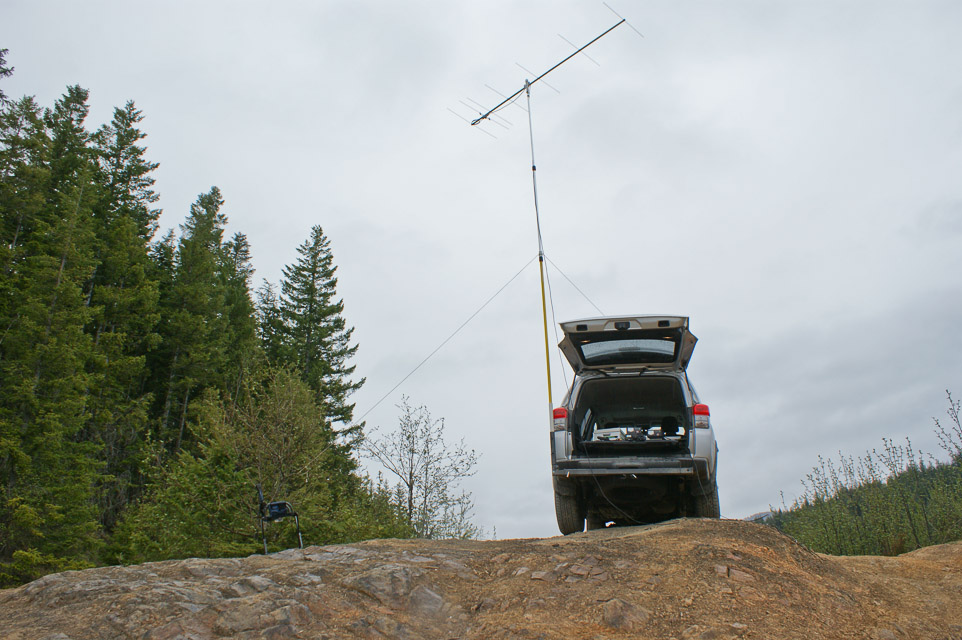
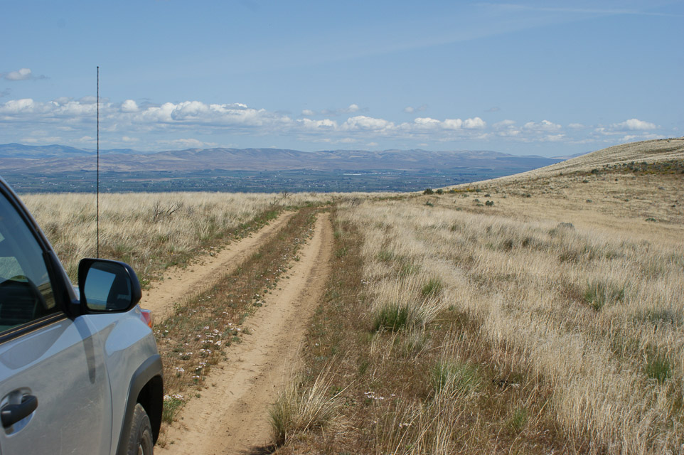
However, it is a bit away from the North-South corridor most people in Western Washington use during contesting. So you may need more power/antenna to reach stations that are reluctant to turn towards the Cascade Mountains. Someone should use this location during a September contest. I acknowledge it is a long drive from Seattle. I used 144, 1296 MHz from here. No RF noise at all. Reached W7RNB from here on 23 cm SSB with 10 Watts 22 element, a distance of about 103 miles.
- Peter AF7GL
Cowiche Upland, CN96qo46
| 46.611034, -120.625665 |
A high point practically in the city of Yakima with a parking area for hikers.
Cleman Mtn, CN96nt77
| 46.822944, -120.855772 |

Cleman Mountain [CN96nt] is east of Nile next to road WA-410. Upper section is a bit rough to drive up, summit is open. Maybe good for a January location as it maybe snow free.
Cleman has a radio site on top. It has RF noise on 50 MHz and 144 MHz but not on 432. Probably can be mitigated by parking a little further away from the RF stations.
As a rover location probably not the best. As a rover, you might be better off to drive to the pass itself. - Peter AF7GL
Paradise, CN96ds18
| 46.785701, -121.736129 |
Trout Lake, CN96fb70
| 46.044040, -121.524477 |
Trout Lake offers a three-county corner of Klickitat, Skamania and Yakima counties. These three rare counties make it attractive to contests like the 7QP and Salmon Run events.
The approximate location of the county boundary is in the link (the actual intersection is 250' to the east of the road). The rules for the 7QP allow the station location to be located anywhere within a 500' of the county intersection, which includes the forest road. There is a wide enough shoulder to pull off on the side of the road and operate from your rig if that is your preference.
On the ground, I found two survey markers. The first is a cattle gate and official entrance to the Gifford Pinchot National Forest, this is shown where the road crosses over the county line on the left. The second was a small stake in the ground that said "national forest property behind this stake" and this stake was located where the county line crossed the road on the right.
Huckleberry Access, CN96cc40
| 46.087079, -121.794011 |
Huckleberry Access is a parking area on a ridge in the Gifford-Pinchot National Forest. Needs scouting.
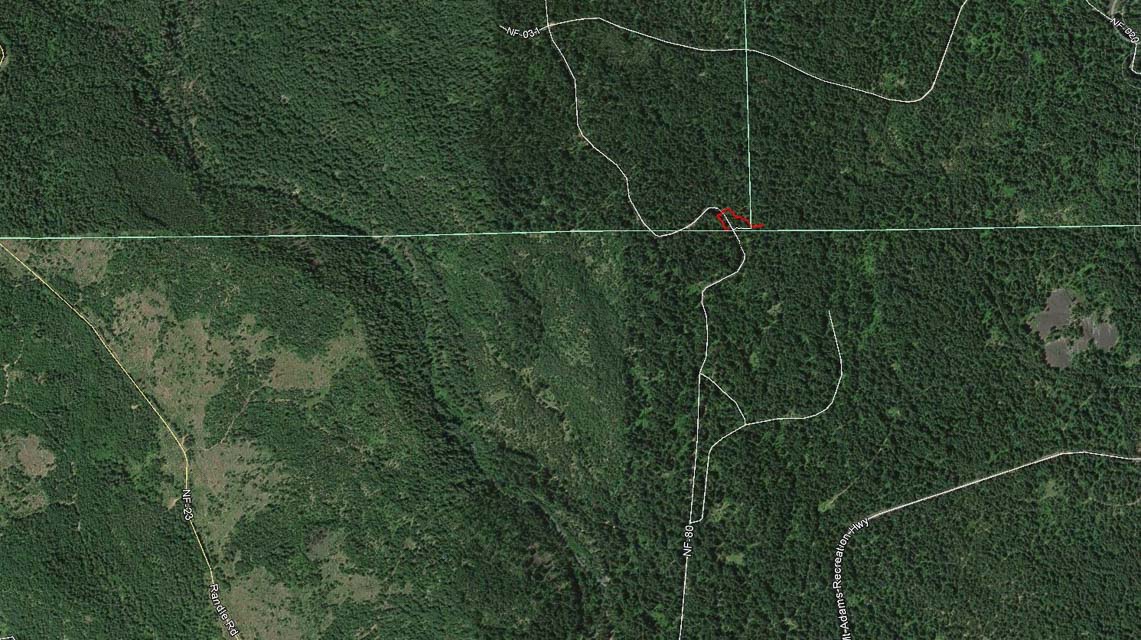
Peavine Ridge, CN96ke36
| 46.195707, -121.139463 |
Peavine Ridge Road needs scouting. It's a long road along a ridge that's east of Mt Adams, and it has a good drop-off from West to South to East.
Whiskey Dick, CN96wx62
| 46.967500, -120.116167 |
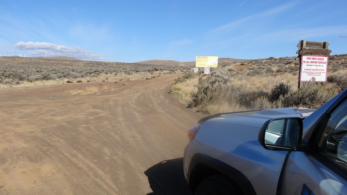
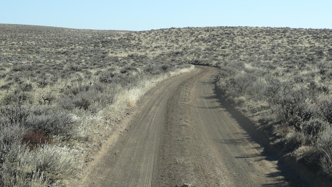
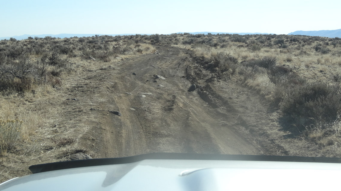
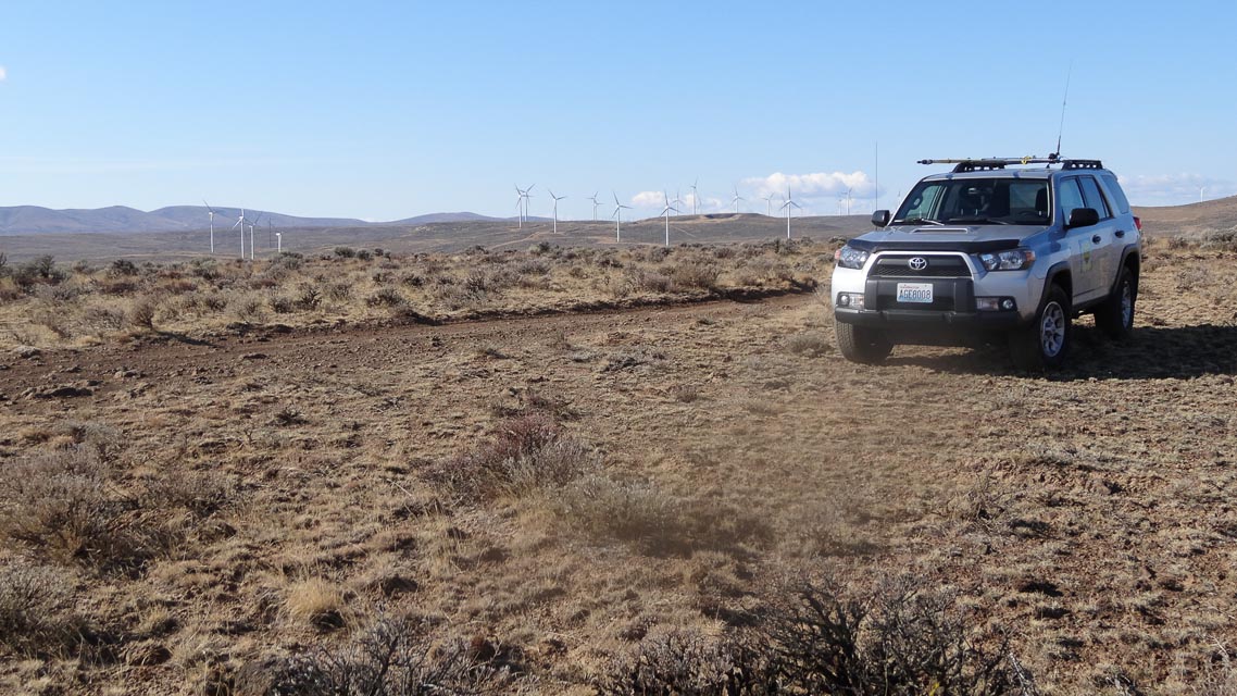
Whiskey Dick Mountain is in the south-eastern corner of CN97 with good altitude and good access from Ellensburg or Vantage. However, I haven't found a good clear spot to setup antennas, and the barely-adequate spot I did find is eight miles of rough slow terrain off from the highway.
Much more accessible nearby spots are:
- CN97va Wild Horse Renewable Energya visitor's center
- CN96vw I-90 Rye Grass rest stop.
Restrictions: Closed February - April. No camping. Stay on "green dot" roads. Recommend 4wd.
Sunnyside Overlook, CN96xd80
| 46.128833, -120.009667 |
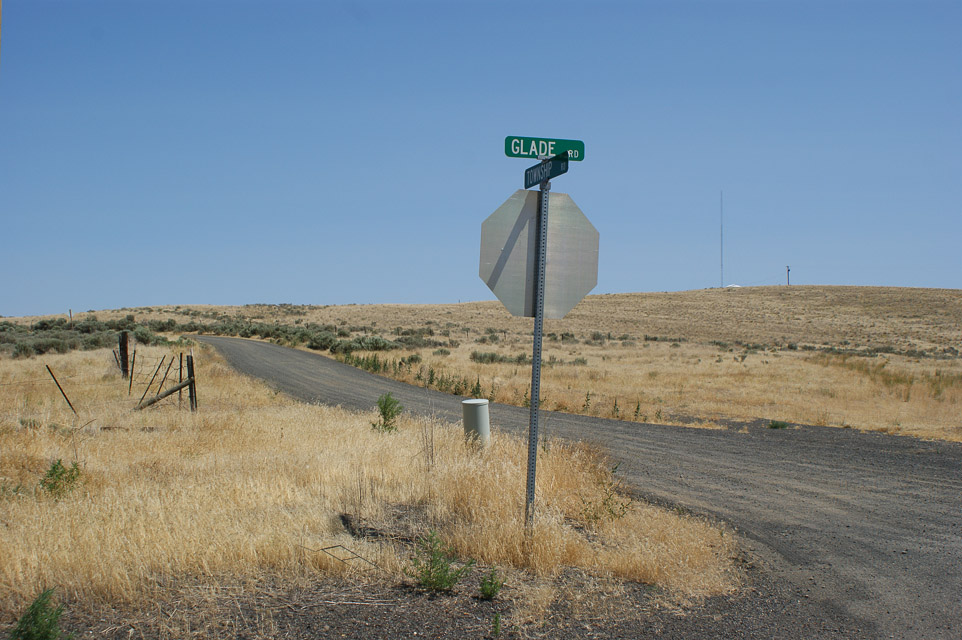
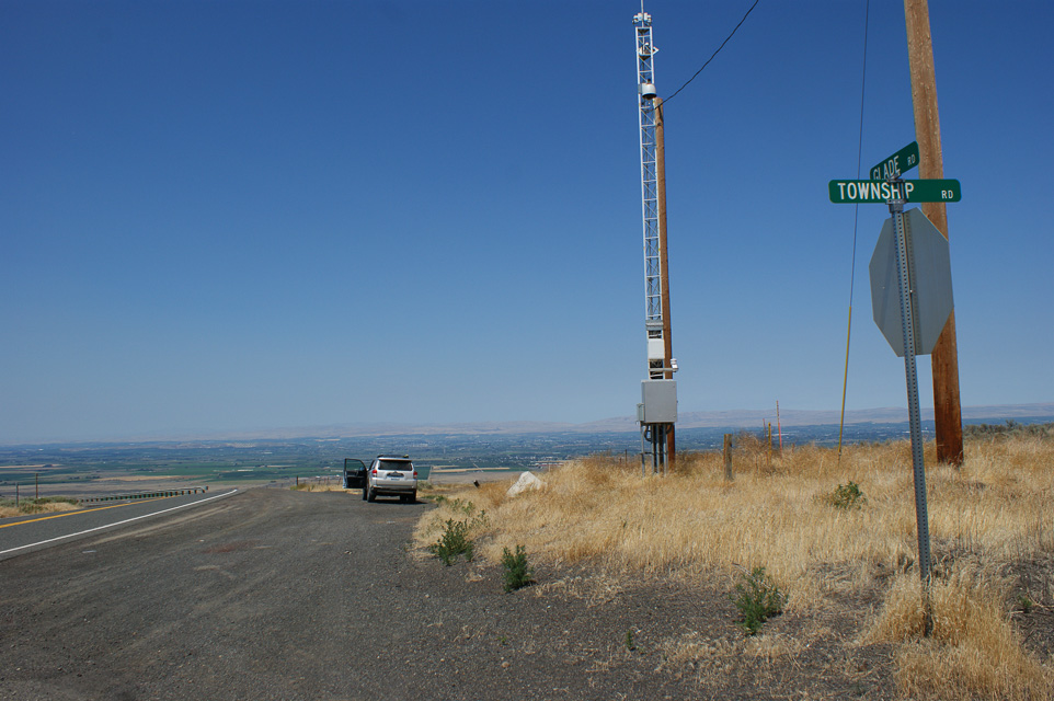
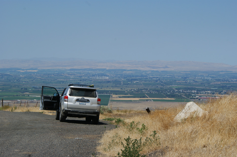

There's a nice hilltop and overlook on Glade Road just south of Sunnyside, WA. This would make a great spot near the CN96-DN06 grid line to work all of Yakima valley and Richland metro centers.
You can drive east one from here on Township Road and quickly access DN06 in one half mile.
Driving directions: From Sunnyside, drive south on Mabton Road (Highway 241).
- The road name changes to Mabton-Bickleton Road.
- The name changes again to Glade Road and winds its way up a hill.
- Near the top, look for the intersection of Glade and Township roads.
- There is a drop-down snow gate where you can pull off with a view.
Mt Rainier Summit, CN96cu84
| 46.852737, -121.760616 |
This site is on top of a large mountain. It has excellent signal paths in all directions.
Driving directions: Take state highway 706 through Ashford to the Visitors Center. Park car, walk up hill.
Restrictions: Bring oxygen.
Rainout Ridge, CN96aw68
| 46.950700, -121.948900 |
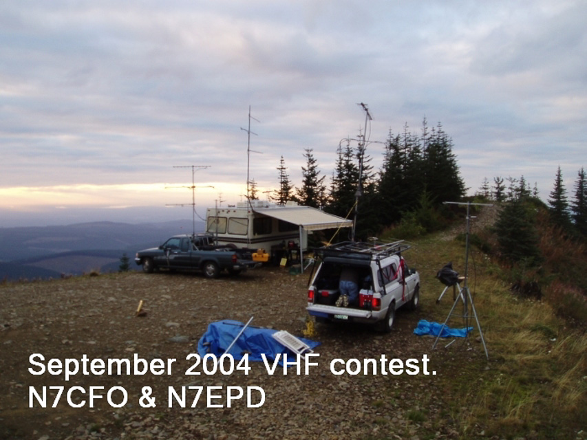
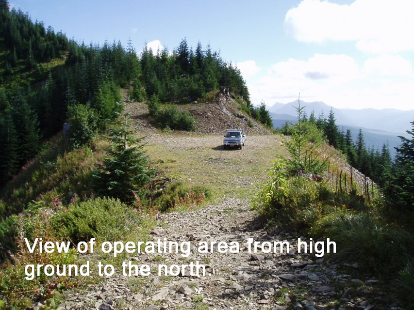
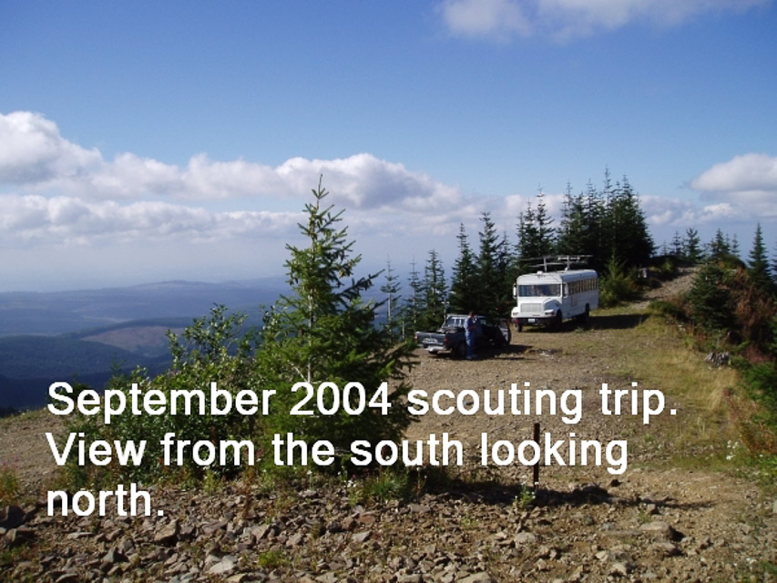
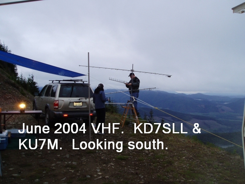
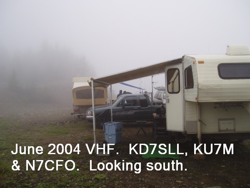
This is an excellent operating location, though the weather fronts hit very fast and violently. Lynn operated the 2004 June and September VHF contests from this location and had wild weather both times. It was not hard to get to, but it looks hard on the map. I have pulled a small 5th wheel trailer in there twice, and KB7DQH got his bus in there - it is a steady climb all the way from Highway 165, but not particularly steep.
This location provides excellent VHF and UHF paths to the entire Puget Sound area, and easily reaches down into Oregon on UHF. Use of this area requires a NW forest pass which can be bought in Wilkeson at the general store. Further info is at http://www.fs.fed.us/r6/feedemo/nwfp.shtml.
If you plan to spend the night be prepared for some rough weather. The ridge is on hard rock, and it would be impossible to pound tent pegs into the ground, so you might take buckets to fill with rocks. I strongly recommend a scouting trip before you go up there for a contest.
This location is located in an Off-Road vehicle area, so expect lots of traffic. Most of the 4 wheelers are good folks, but I have seen some real morons crashing around in a highly dangerous manner, so be careful on the roads.
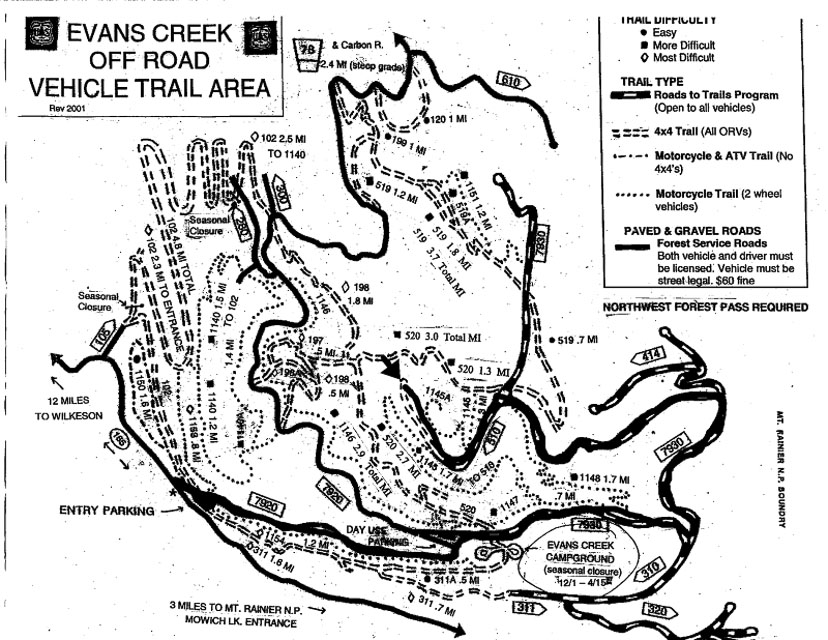
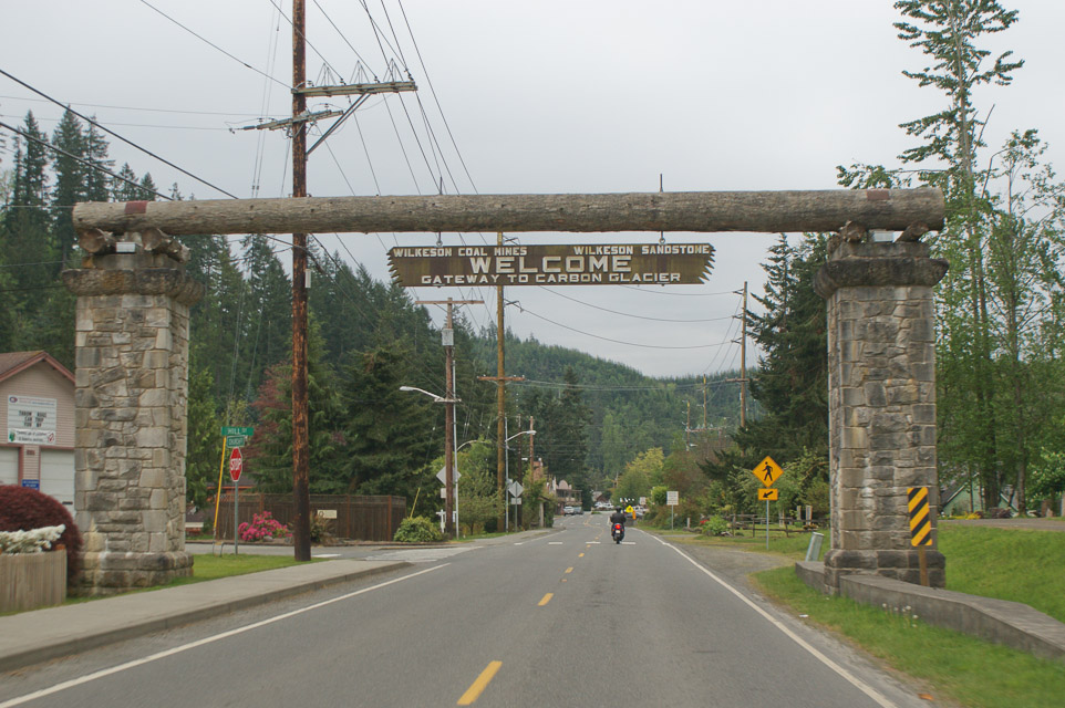
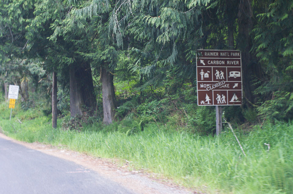
Driving directions: Go through Wilkeson, then 14 miles on Highway 165 to Evans Creek ORV area.
- (Exactly 13.9 miles from the "Historical Site: Wilkeson Elementary School" sign)
- Go through the ORV parking lot and then drive to the "Y" and go right.
- On your left will be a parking lot with a bathroom.
- Just past the "Y" you'll pass the entry to the Evans Creek campground.
- Continue up the hill per the following map to the area marked with the arrow.
- There are 3 major intersections from the Evans Creek campground, take a left at each of them.
- At the second intersection, there is a road marking just past the intersection labeled FS 7930.
- You can obtain a better copy of the map from the map board in the parking area.
- The entire grade is on rock road and traction is good but there may be some washouts.
Restrictions: September 14, 2008. Per KD7TS the upper road to the ridge was closed with tank traps. This is likely a permanent closure.
Mowich Road, CN96aw18
| 46.951000, -121.984200 |
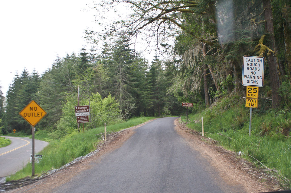
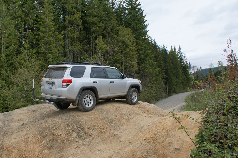
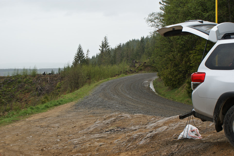
On the western flank of Mt Rainier is this neat wide spot on the road. It offers a good CN96 location and then grid CN97 is but a few minutes west, followed by a short drive to Buckley for both CN87 and CN97. Although Mt Rainier is blocking access to Eastern Washington, the mountain provides an effective reflector to reach stations in more places. Mt St. Helens may reduce signal strength of Portland area stations but I worked into Oregon quite effectively. The views are stunning but most side roads are gated off, preventing access to logging roads.
You can ignore the sign "Mowich Lake Closed" because the lake is well beyond our intended parking spot. However, pay attention to "caution rough roads" -- it turns to gravel and washboards just past this sign. A four-wheel drive vehicle is nice but not essential. Just beyond this turnout is the Evans Creek ORV (off-road vehicle) park; beware of a steady stream of Jeeps on this road that are headed up to play in the mud.
The chosen parking spot offers a rocky knob to gain a few more feet of altitude, which improves propagation path to the north through the trees across the road.This was my most successful VHF 2-meter trip to date. Seattle is 45 miles to the north with booming signals. Portland is 100 miles to the south with good signals. I love this spot.
Toppenish Ridge, CN96ug09
| 46.291600, -120.327670 |
This ridge along the south side of Yakima valley provides a clear view toward Seattle in the NW and to Portland in the SW. A four-wheel drive vehicle is needed to reach the top, but the dry local weather might leave it accessible in winter.
I-90 Rye Grass, CN96vw73
| 46.932975, -120.185709 |
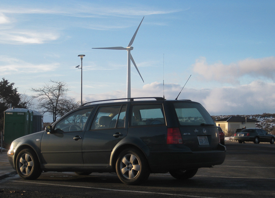
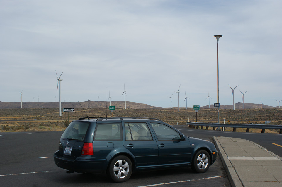
A small rest stop along I-90 in a lovely wind swept area with rest rooms, wifi and a view. On a clear day, Mt Rainier (CN96dv) can be seen 70 miles away due west through a gap in the hills.
There are rest stops on both the east and westbound lanes. The site at the eastbound rest stop is slightly higher. Per WE7X, the best operating location is the Highway Department borrow pit between the east and westbound lanes at the very summit. There is lots of space and no curious onlookers.
A better candidate is probably a few miles north in among the wind farm, or at Whiskey Dick Mountain, CN97va36.
Be aware it's a popular and busy area, so you may be interrupted with comments and questions. Recommended to have signage to inform passersby and avoid alarming anyone.
| < Previous | Page 15 of 25 | Next > |
©1998-2026 Barry Hansen