Rover Location Database
Idaho Rover Locations
- Idaho Map
- Idaho List
- Select Grid
- DN44 Yellowstone
- DN43 Rexburg
- DN42 Soda Spr
- DN35 Salmon
- DN34 Lemhi
- DN33 Craters of the Moon
- DN32 Pocatello
- DN27 Flathead
- DN26 Clearwater
- DN25 Nez Perce
- DN24 Salmon
- DN23 Mtn Home
- DN22 Twin Falls
- DN18 Sandpoint
- DN17 Coeur d'Alene
- DN16 Moscow
- DN15 Wallowa
- DN14 McCall
- DN13 Boise
- DN12
- Add a Place
Grid Square DN17
6 locations - Booth Hill - Lamont Microwave - Mt Spokane - Steptoe Butte - Steptoe Butte - Clarkia
Potential VHF rover sites in grid DN17.
DN17 dimensions are 93.4 by 69.2 miles.
Explore this grid in Google Earth or equivalent:
Booth Hill, DN17dn22
| 47.551917, -117.726674 |
Booth Hill is not super tall, but easy access as you come into town by Medical Lake to the west of Spokane. You can park next to the FAA tower. It looks like some sort of old car scrap yard.
Also identified as SOTA peak W7W/WE-035.
Lamont Microwave, DN17be25
| 47.188083, -117.897167 |
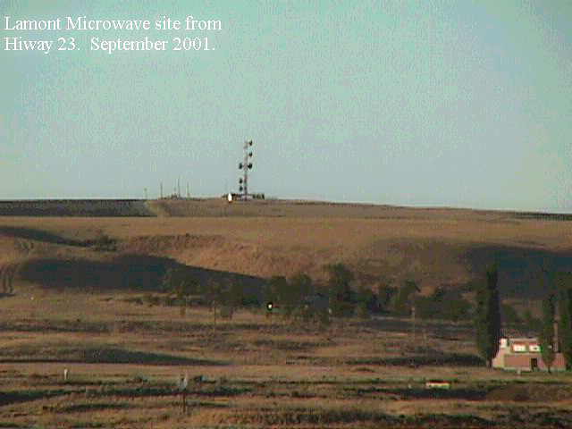
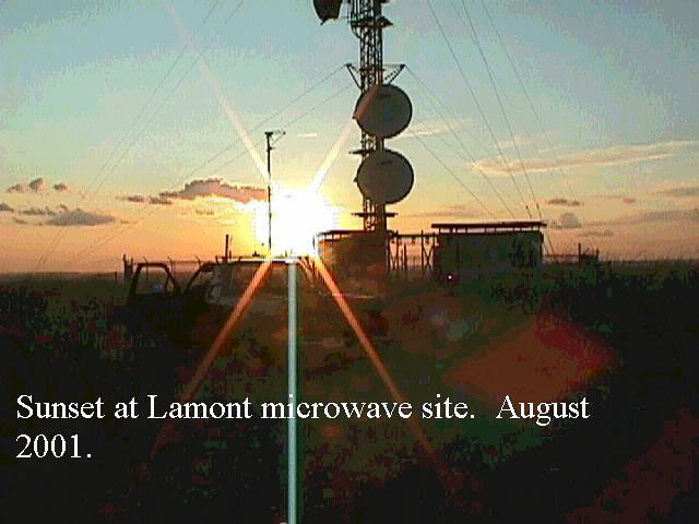
Microwave tower site southeast of the town of Lamont on Highway 23. Turnoff from I-90 at Sprague.
It is easy to get to from hiway 23 and offers good exposure in all directions. There is a large microwave installation there, but it is easy to move around to get the path you want. RF does not seem to be a problem.
June 12, 2002 update! KF7CN attempted to get to this site during the June VHF contest and found that they had installed a gate about 100 yards from the top.
Driving directions: Go to Lamont on Highway 23.
- Turn east on 9th street.
- After 1/4 mile the road turns to gravel.
- Look for the towers.
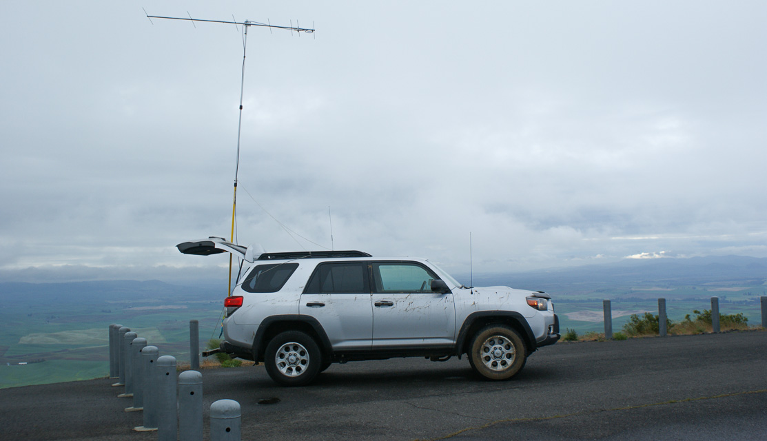
Mt Spokane, DN17kw61
| 47.921200, -117.114100 |
This is a popular ski area northeast of Spokane. The locals report that Mt Spokane summit is driveable in the summer with pavement to the top. It has gates but they are generally open. On the way up to the peak, you will pass Beauty Mountain (5206') and Bald Knob (5108').
Driving directions: Highway 2 north from Spokane
- Turn right onto WA-206 East (Mt Spokane Park Drive)
- Take left onto N Summit Road
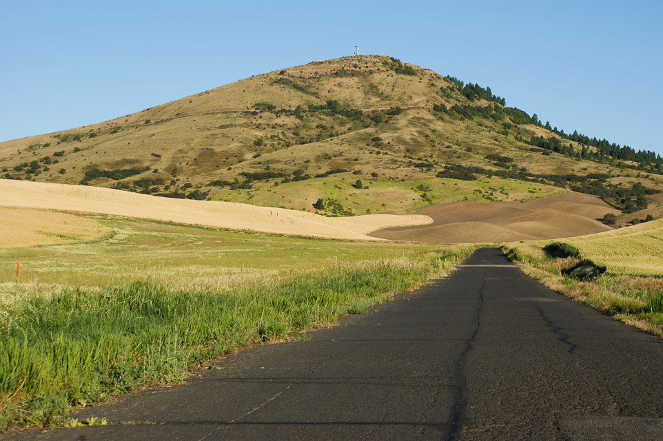
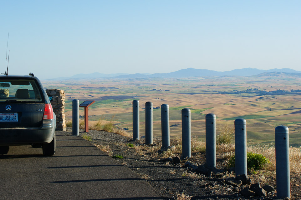
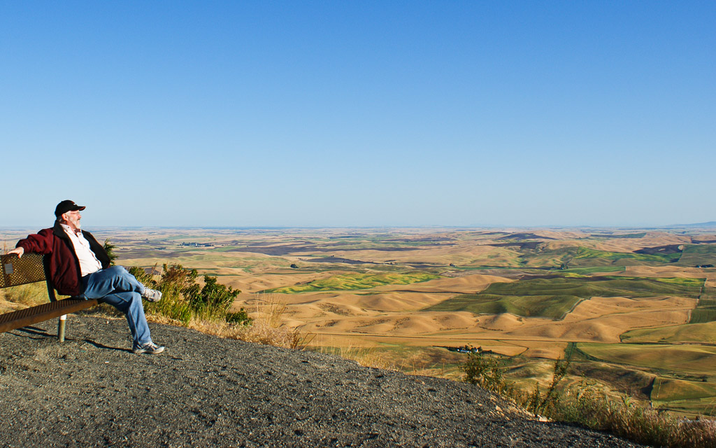
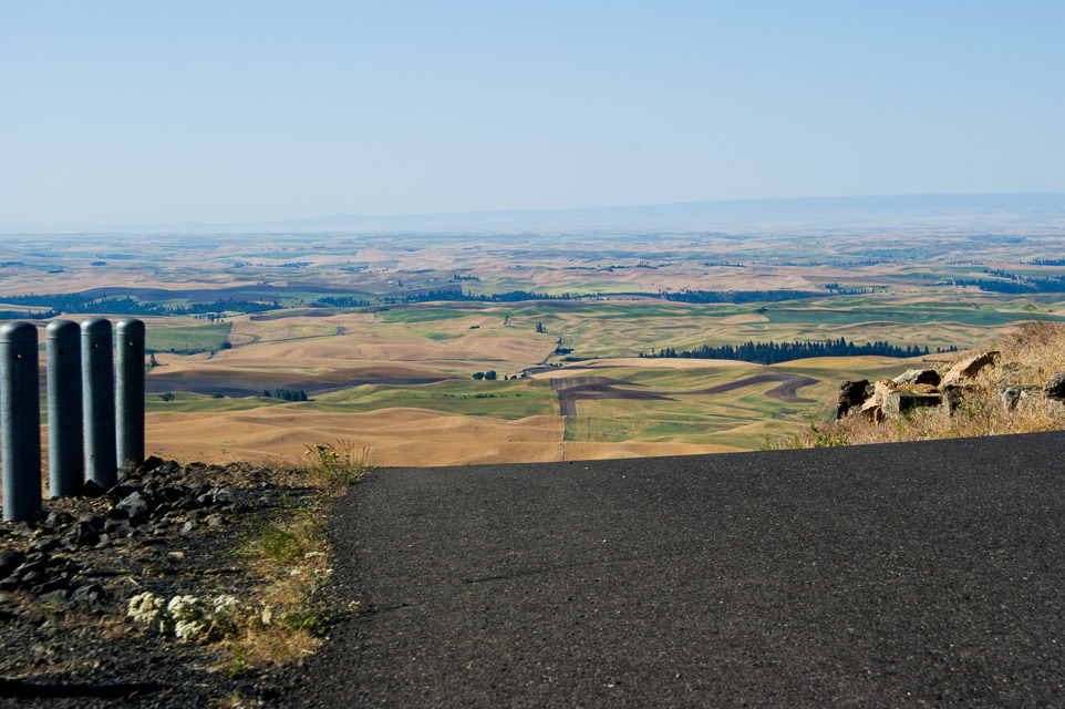
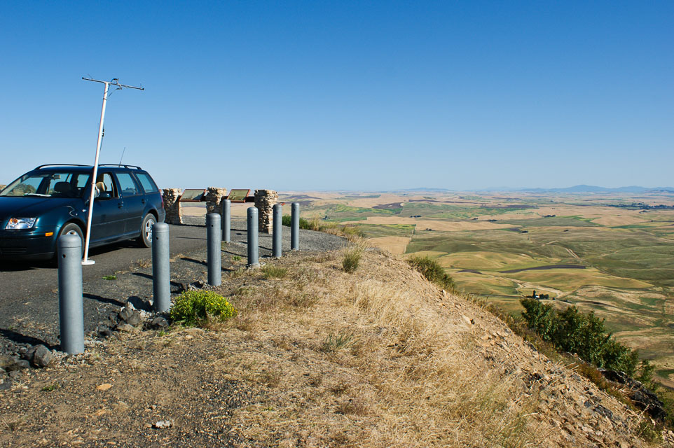
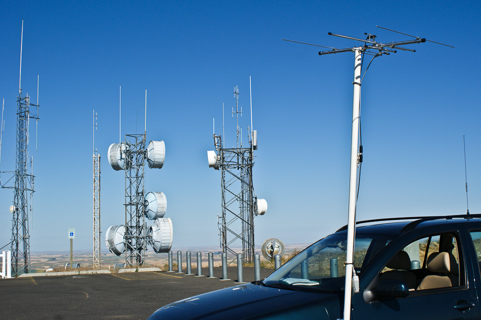
Steptoe Butte, DN17ia47
| 47.032167, -117.296500 |
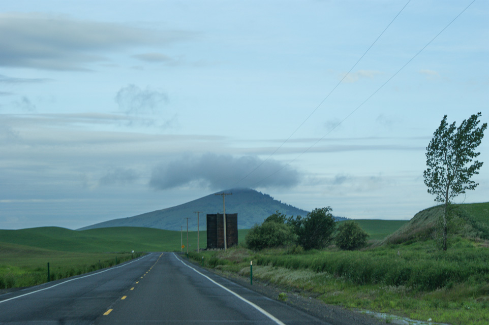
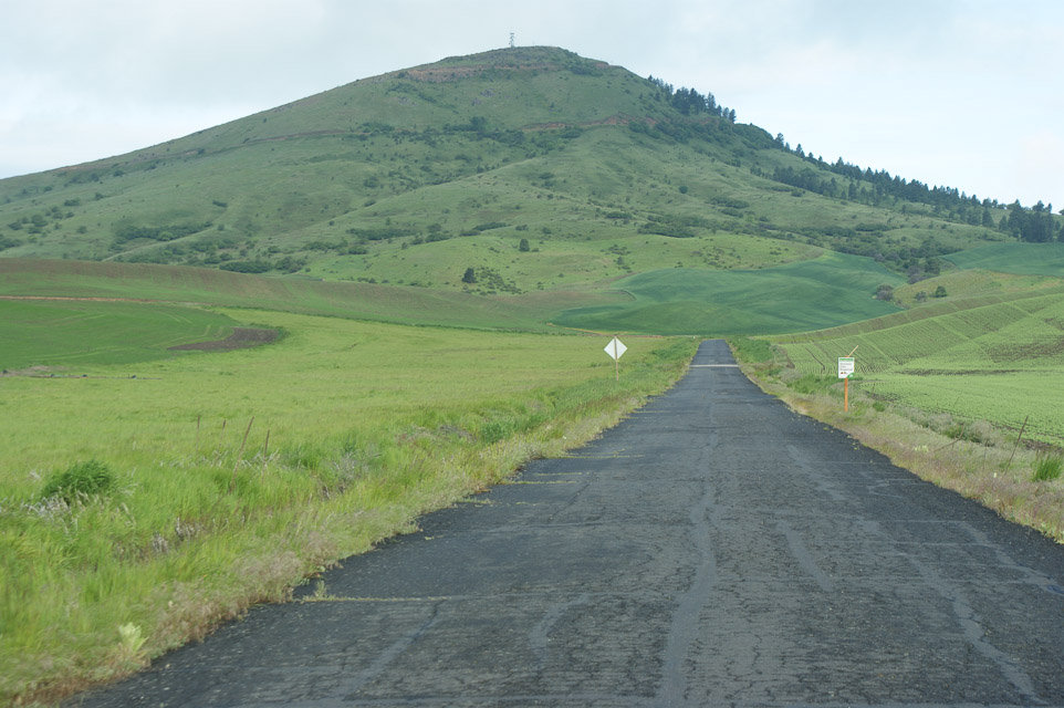
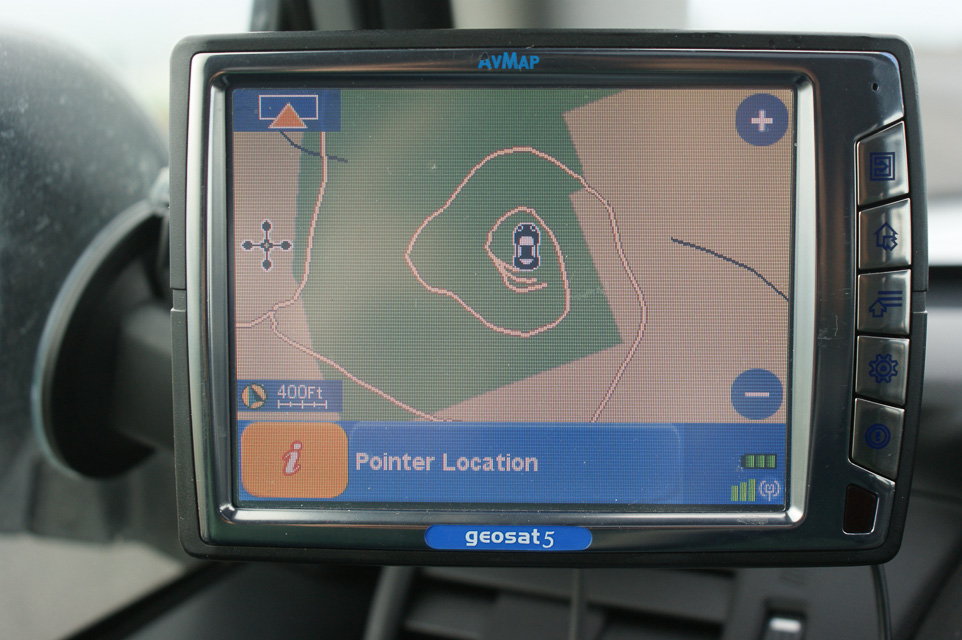

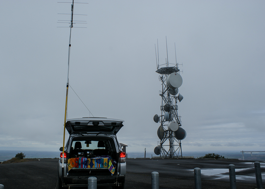
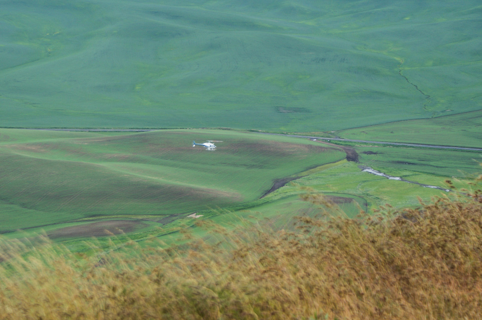
This site is on an 1100' butte NE of the town of Steptoe on state highway 195, south of Spokane. The average terrain is about 2000' and you can see 200 miles on a clear day. There are no gates on this location.
There was a small hotel located in Steptoe that also has an RV park behind it. As of 8/2001, their rates are $35 for a single, and $39 for a double (two double beds). A full RV hookup, complete with cable TV costs $15, and $18 for a pull through site. (Wheel Inn, Inc. P.O. Box 18, Steptoe, WA 99174. (509)397-9195. 1-(888)397-3195. hartleys@colfax.com)
This is an ideal location to start or end a rover operation. You CANNOT BELIEVE the shot in all directions from the top of the butte. There are no obstructions other than some microwave towers that are easy to work around. The RF levels are low and cause no problems. Expect a lot of traffic - people drive up there just to see the view. Per the signs at the top of the butte, some looney built a hotel on top of the butte back around 1900. It gives a guy fantasies about running a mountaintop operation - complete with room service!
Steptoe Butte, DN17ia47
| 47.032167, -117.296500 |
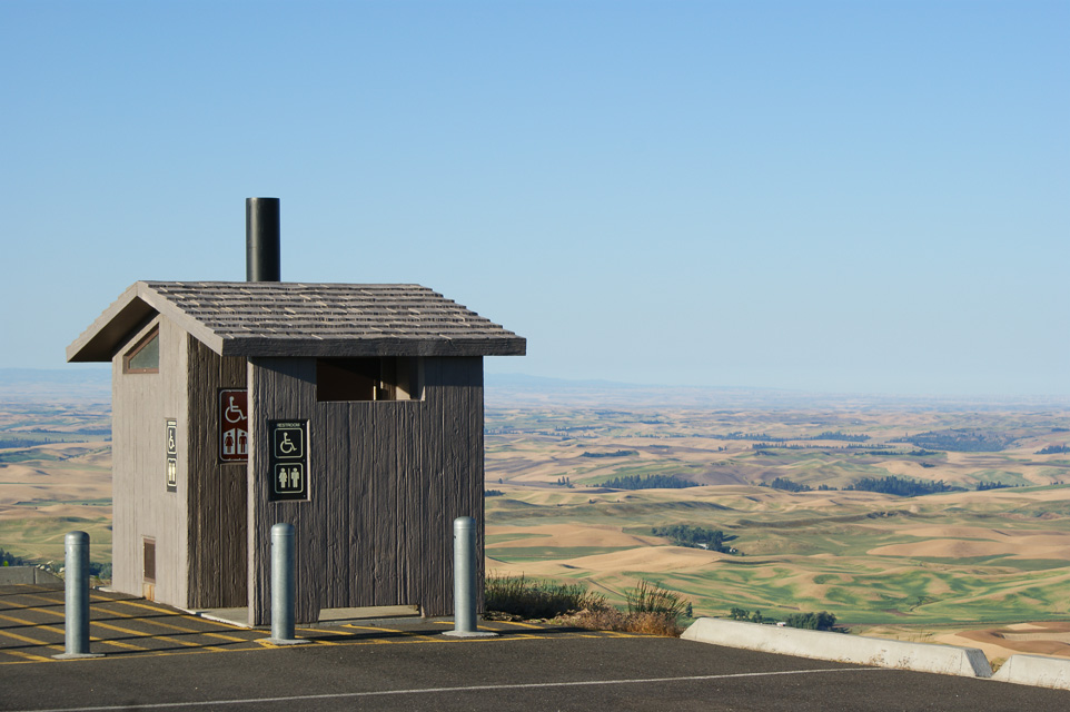
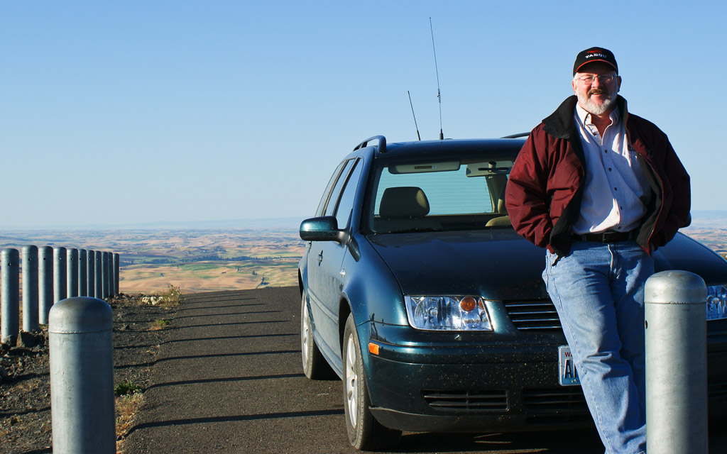
Steptoe Butte is an isolated cone with excellent views in all directions. It is wonderful operating location and a favorite of many. (And it's not just the bathroom-with-a-view!) See also KF7CN on Steptoe Butte for the September 2004 VHF Contest.
Easy radio access to Spokane and much of eastern Washington. DN17ia is near the southern edge of the same grid as Spokane, so it's not rare, but you can make up for it with the number of contacts.
This location requires a Discover Pass from the state. Buy it before you go, because it did not offer a signup box anywhere in the park.
Clarkia, DN17ua70
| 47.000100, -116.269835 |
The city of Clarkia on Hwy 3 is very near the DN16-17 grid line, and makes a good starting point to find a hilltop for VHF operation. Also, this is only about 11 miles west of the grid corner for DN16-17-26-27.
| < Previous | Page 18 of 24 | Next > |
©1998-2026 Barry Hansen