Rover Location Database
Idaho Rover Locations
- Idaho Map
- Idaho List
- Select Grid
- DN44 Yellowstone
- DN43 Rexburg
- DN42 Soda Spr
- DN35 Salmon
- DN34 Lemhi
- DN33 Craters of the Moon
- DN32 Pocatello
- DN27 Flathead
- DN26 Clearwater
- DN25 Nez Perce
- DN24 Salmon
- DN23 Mtn Home
- DN22 Twin Falls
- DN18 Sandpoint
- DN17 Coeur d'Alene
- DN16 Moscow
- DN15 Wallowa
- DN14 McCall
- DN13 Boise
- DN12
- Add a Place
Grid Square DN18
8 locations - Colville Mtn - Stensgar Mtn - Stensgar Mtn - Boyer Mtn - Jumpoff Joe - Bare Mtn - Old Dominion Mtn - Black Mtn
Potential VHF rover sites in grid DN18.
DN18 dimensions are 91.6 by 69.2 miles.
Explore this grid in Google Earth or equivalent:
Colville Mtn, DN18bn27
| 48.573700, -117.897200 |
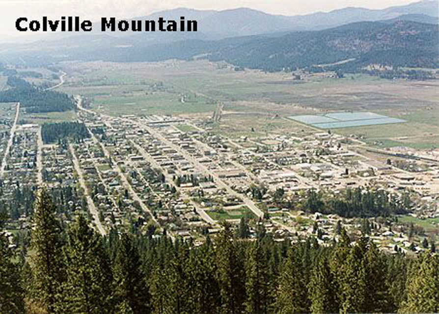
One mile north of Colville, WA.
Site is shielded toward western Washington by higher mountains to the southwest. Might be good toward the northwest into B.C. though.
Colville Mt is only about 3200' high. Also see a better location nearby, DN08 Monumental Mt at 5300'.
Driving directions: Follow Main Street uphill north out of town, up the west side of the mountain
- When the rise tops out, turn right uphill on the narrow dirt road
- Follow switchbacks up the southwest face of the mountain
- You can access the giant letter "C" and cross visible from town that's on the upper south slope
- From here you get a clear shot south down the valley toward Spokane
- The road continues up to the summit where there's a cluster of radio towers
Stensgar Mtn, DN18ae13
| 48.179537, -117.988465 |
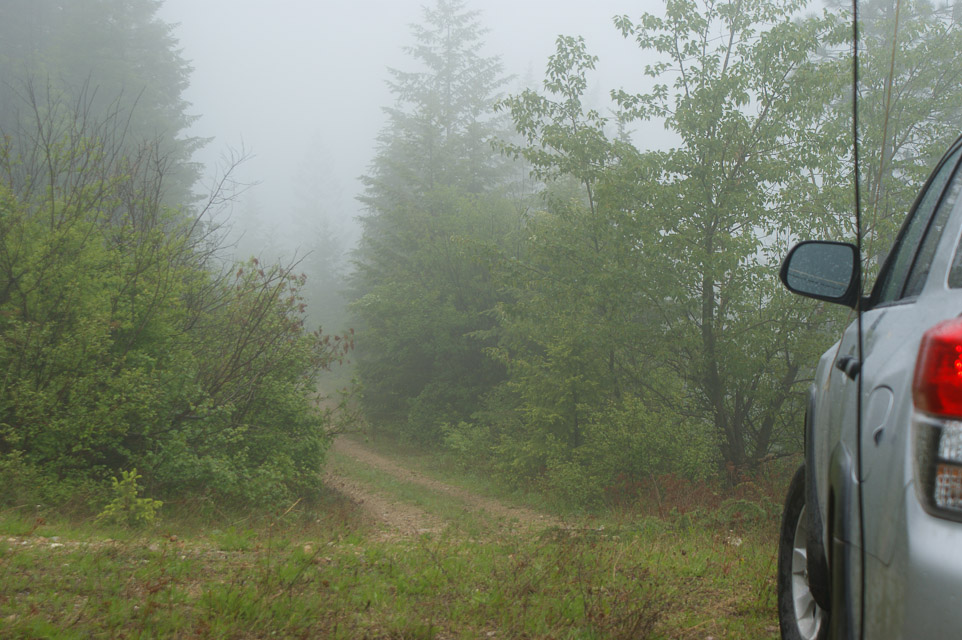
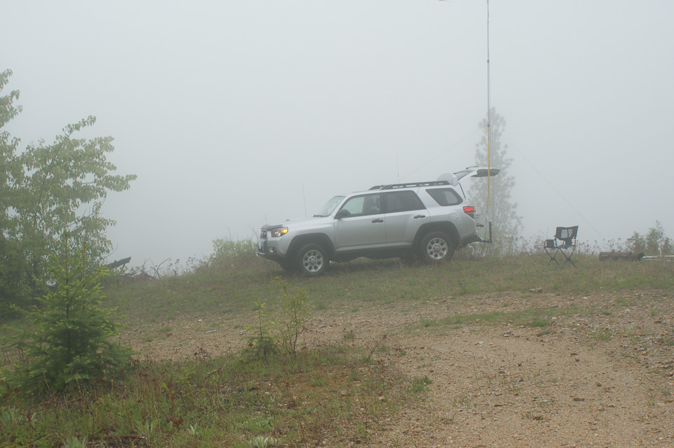

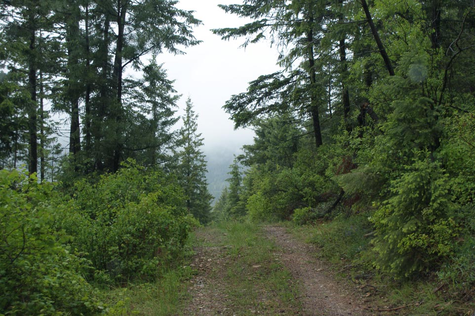
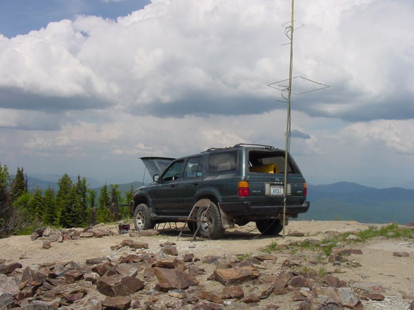
After ascending Stensgar Mtn on Locke Road (a very bad choice) I managed to turn around and return just far enough to return to DN08. The peak of Stensgar Mtn is in DN18. But I found a flat spot near a switchback which provided enough room to get on the air and activate the grid for contest points. This is halfway down the mountain and only offered access to local and Spokane stations.
Stensgar Mtn, DN18ae13
| 48.181196, -117.988701 |
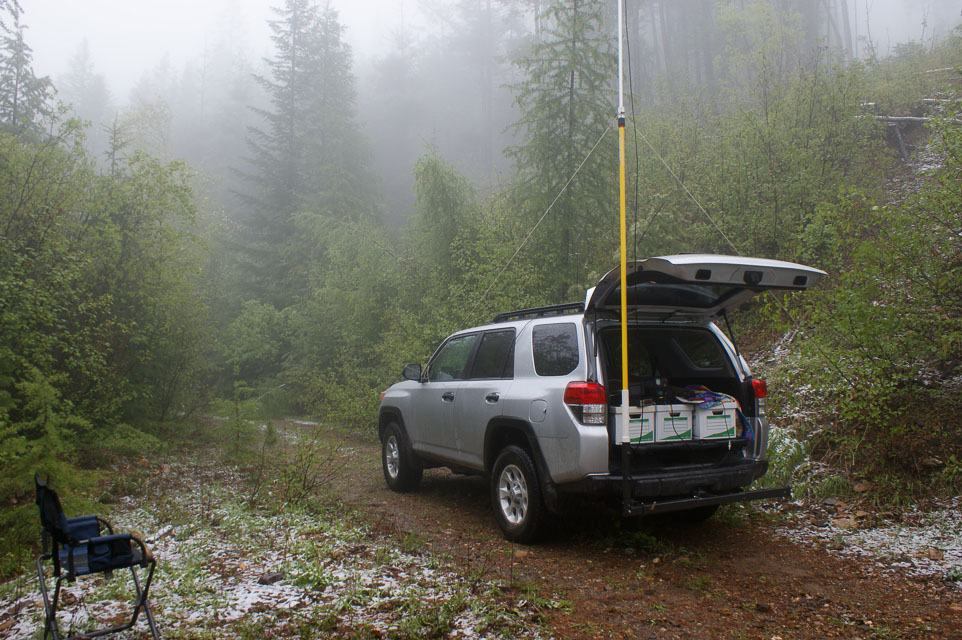

Stensgar Mtn is a driveable high point in the lower corner of DN18, near Spokane, and with this much altitude should have good propogation in every direction.
Be sure to take the gravel Red Marble Road approaching from the north; I talked to locals on the air that said the road is much better and is used regularly to service the radio towers.
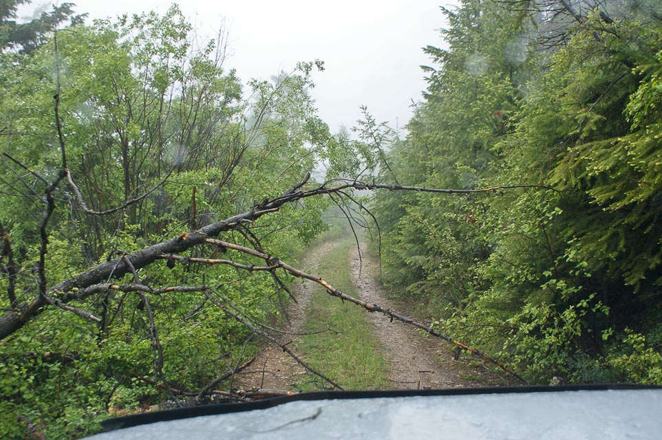
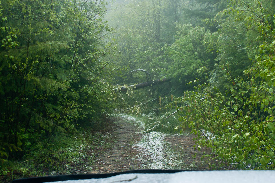
I drove this during the 2012 June VHF contest but didn't reach the summit because Locke Road on the west side is overgrown and not maintained. It's drivable with good 4wd but bring a chain saw.
These pictures are not at the top. I'm about 1200' below the summit but could not continue. However I had just crossed into DN18 and so could activate the grid successfully from here.
Boyer Mtn, DN18ge77
| 48.196596, -117.434262 |
Jumpoff Joe, DN18dc97
| 48.114410, -117.671181 |
Jumpoff Joe Mtn is a possible destination in DN18, north of Spokane. May or may not be driveable.
Bare Mtn, DN18ic80
| 48.087311, -117.259269 |
Bare Mtn (aka Bald Mtn) is a possible destination in DN18, north of Spokane, quite near Jumpoff Joe Mtn. May or may not be driveable.
Old Dominion Mtn, DN18dn09
| 48.581390, -117.747960 |

Here's an interesting spot with good elevation in the mountains north of Spokane DN18. A neat picture of K7MDL in the June 2005 VHF Contest looks like fun!
Old Dominion is the 95th most prominent peak in Washington, located seven miles east of Colville. This is said to be accessible with regular passenger sedans here. However, a mountain hiking site suggests using a 4x4 vehicle.
Update July 2012. 4WD is required. The USFS no longer maintains a radio site up there, so road maintenance has been virtually non-existent.
Driving directions: See more maps here.
- Start at the east end of Colville on Hwy 20
- Take the Colville-Aladdin road north
- Turn right on Northport Road
- Follow Northport Road to Threeforks
- Turn right onto the S Fork Mill Creek Road
- In a few miles, look for a wide Forest Road on the south side, possibly number 9411.
Black Mtn, DN18vo17
| 48.612814, -116.240798 |
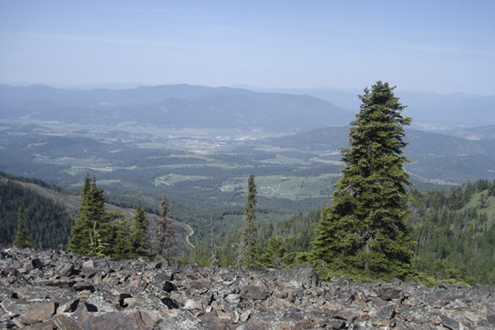
Black Mountain has a fire lookout tower and lot of communication towers onsite. The lookout can be rented. It is somewhat shielded by Mt Clifty (6700') a few miles east. Nice clear shots north and south.
| < Previous | Page 17 of 24 | Next > |
©1998-2026 Barry Hansen