Rover Location Database
Idaho Rover Locations
- Idaho Map
- Idaho List
- Select Grid
- DN44 Yellowstone
- DN43 Rexburg
- DN42 Soda Spr
- DN35 Salmon
- DN34 Lemhi
- DN33 Craters of the Moon
- DN32 Pocatello
- DN27 Flathead
- DN26 Clearwater
- DN25 Nez Perce
- DN24 Salmon
- DN23 Mtn Home
- DN22 Twin Falls
- DN18 Sandpoint
- DN17 Coeur d'Alene
- DN16 Moscow
- DN15 Wallowa
- DN14 McCall
- DN13 Boise
- DN12
- Add a Place
Grid Square DN24
9 locations - DN23-DN24 Line - Deadwood Lookout - Park Creek - Challis RV Park - Williams Lake - Twin Peaks - Hawley Mtn - Sheep Trail Campground - Stanley Estates
Potential VHF rover sites in grid DN24.
DN24 dimensions are 98.6 by 69.2 miles.
Explore this grid in Google Earth or equivalent:
DN23-DN24 Line, DN24oa00
| 44.000010, -114.833061 |
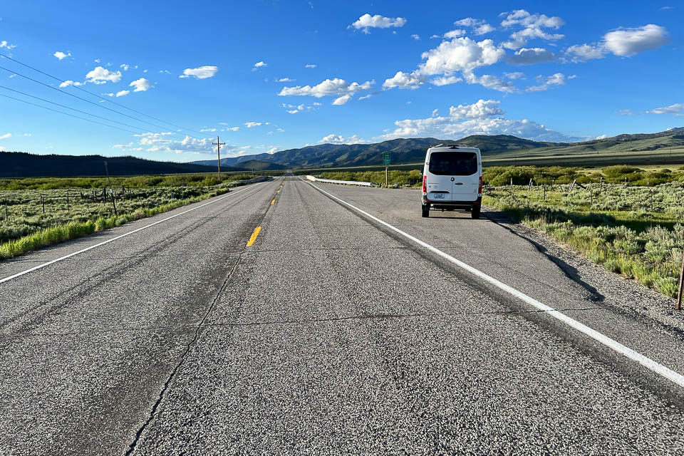


A lucky coincidence provides a wide pullout on Hwy 75 a little north of Stanley, Idaho, exactly on the DN23-DN24 grid line.
The horizon is fairly high in all directions but the location is beautiful. The grid line is toward the south end of this pullout.
Deadwood Lookout, DN24dd50
| 44.125843, -115.704410 |
Deadwood Lookout is a Forest Service lookout that can be rented. See the Forest Service webpage: www.fs.fed.us/r4/boise/emmett/cabins/deadwoodlookout.htm
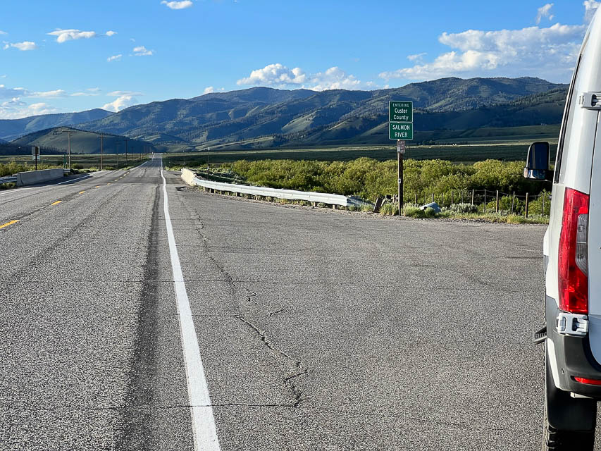
Park Creek, DN24lg67
| 44.282516, -115.027291 |

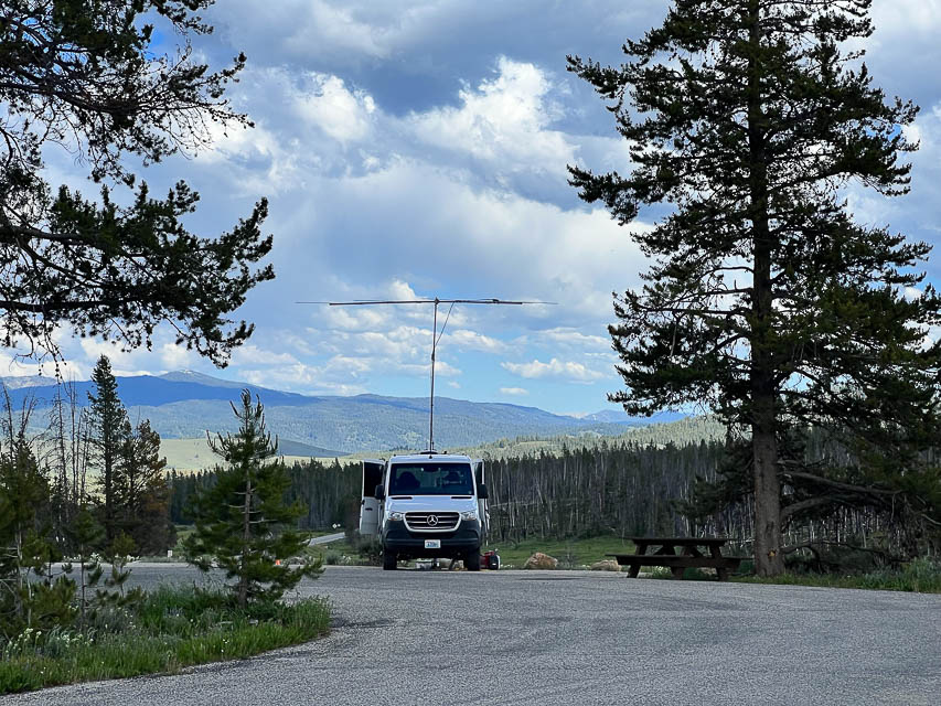
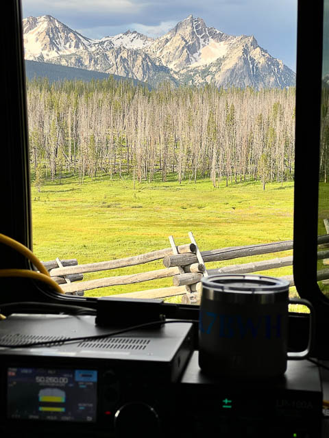
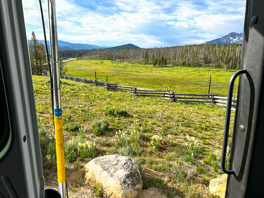
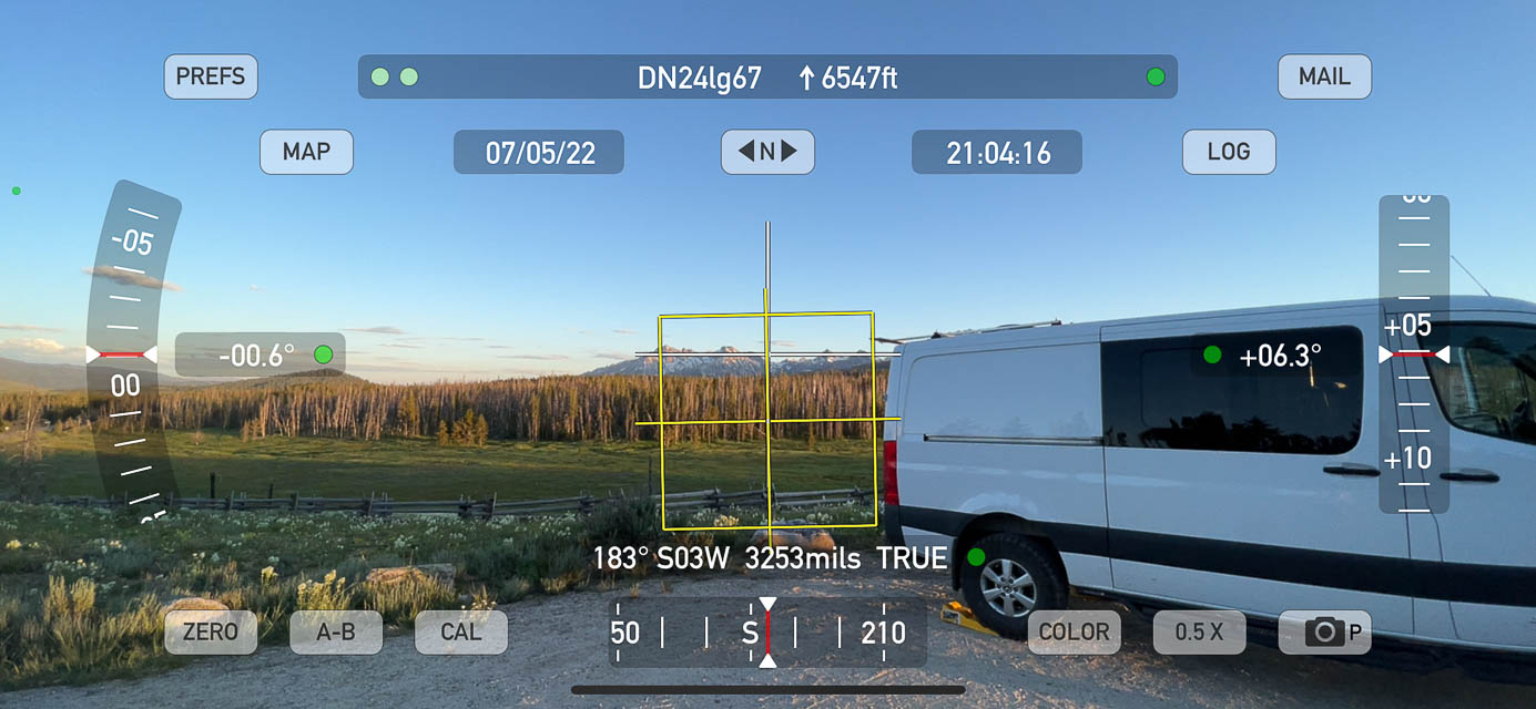
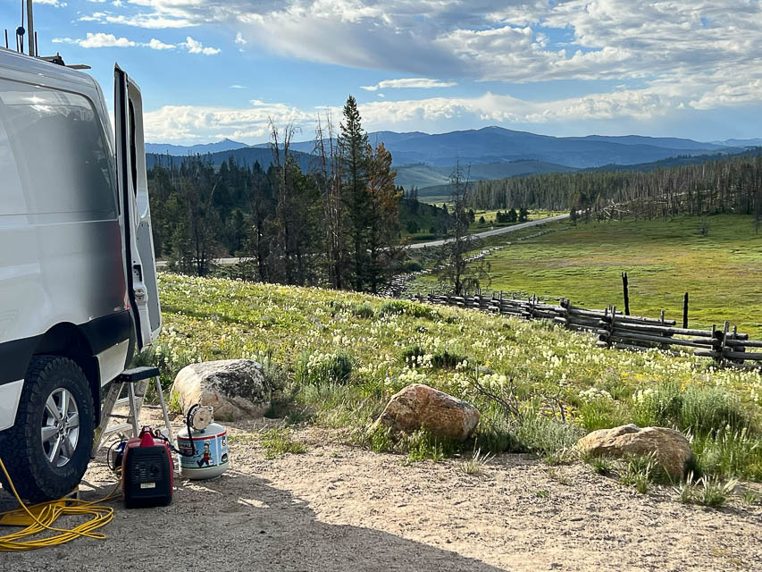


Park Creek Overlook is pretty much the best spot for VHF right on Hwy 21 just north of Stanley. It's on a local high point where the valley is a little wider than other places. The scenery is incredible. There are gobs of other turnouts and side roads along this stretch so there's lots of choices; this one has a handy vault toilet and level parking and is paved to reduce dust.
My parking spot has a little more slope than I could accomodate with my leveling ramps. I used the car jack to raise the back end slightly to level out my bed.
Challis RV Park, DN24vm00
| 44.501799, -114.248379 |
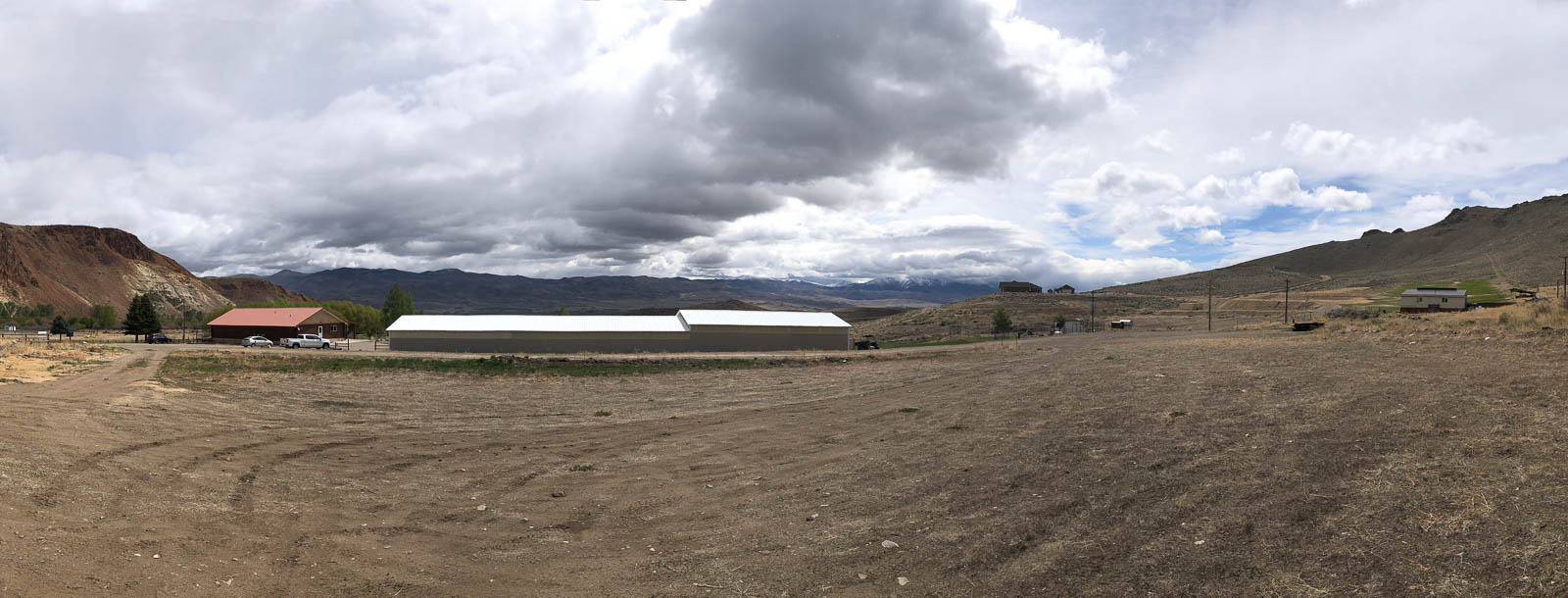

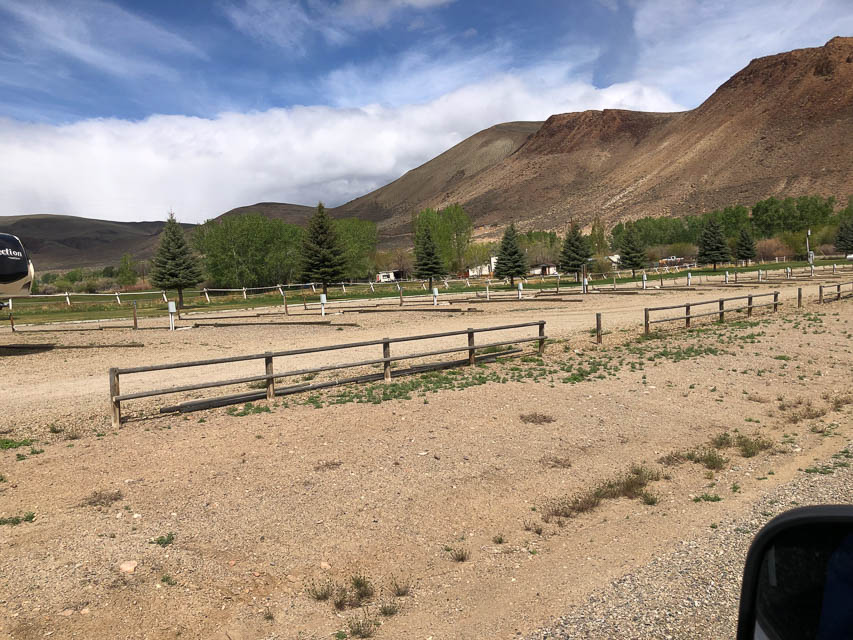
Challis Golf Course and RV park is a ways up the eastern hillside of a wide valley on Hwy 93, giving you some viable horizon from East to South directions. It's not great but it's better than all the rest of Hwy 93. At least, it's convenient and you could have shore power if you rent a spot in the RV park.
Williams Lake, DN24xx99
| 44.997471, -114.000100 |
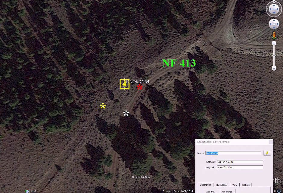

The DN24-DN34 grid line is about an hour from Salmon, Idaho.
Read the whole story from Lance W7GJ at W7GJ solo Field Day 6m Grid DXpedition to the DN24xx/DN34ax line in Lemhi County, Idaho, June 23-27, 2016
The site was only about an hour from Salmon, Idaho and all but the last 8 miles was on paved roads. What's not obvious from Google Earth was that the old jeep trail up to the grid line is very steep, rocky and overgrown with sagebrush, as well as deliberately closed off by small downed trees, making it necessary to operate out of the car down on Salmon National Forest Road 413, at a spot close enough to reach the antenna with the feedline.
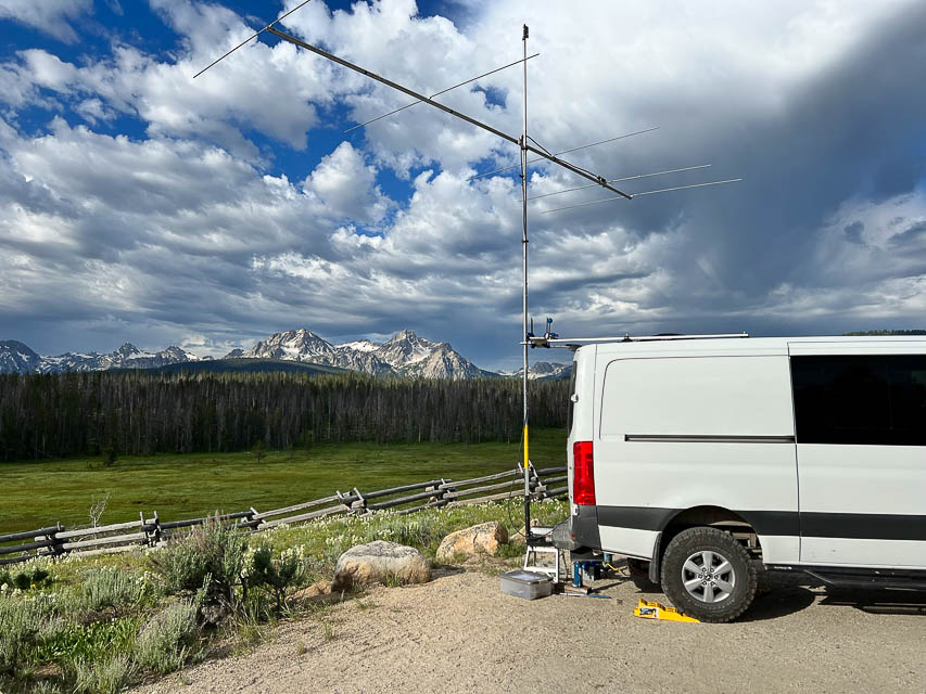
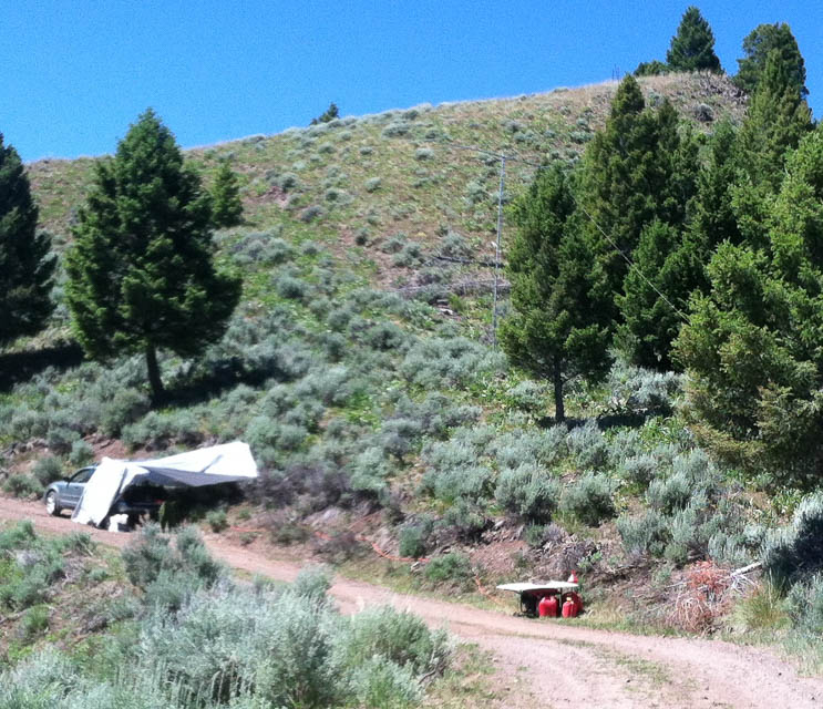
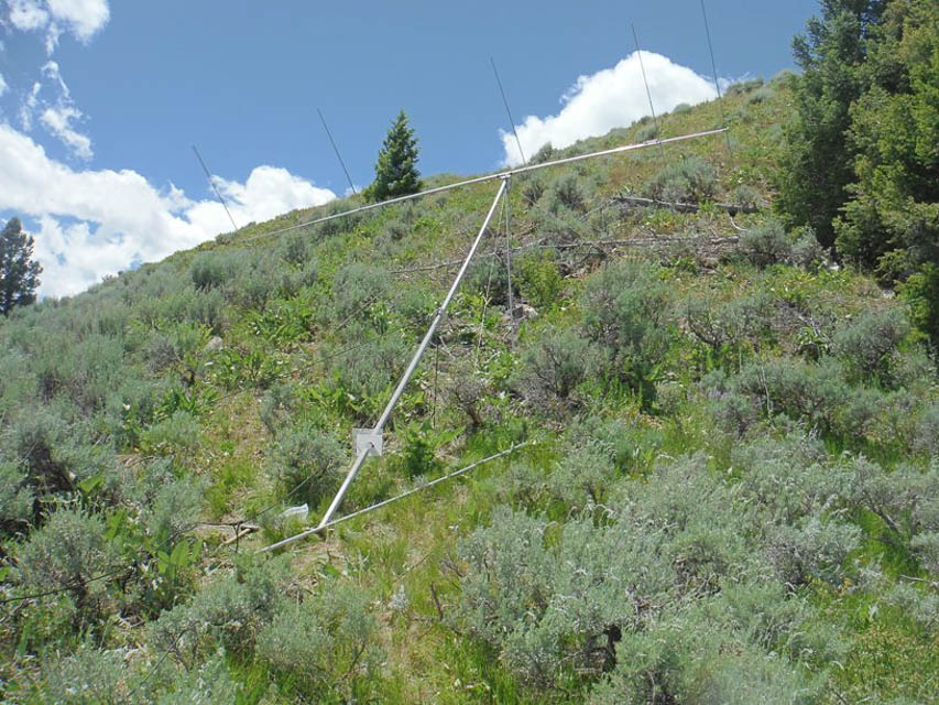
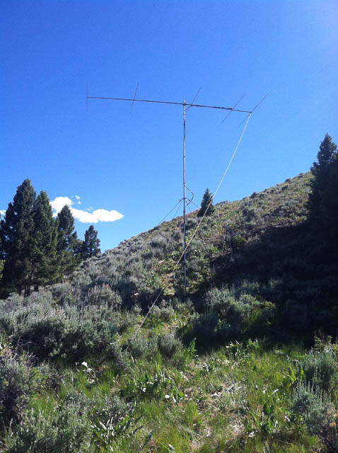
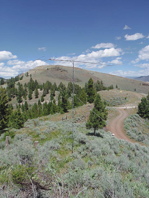
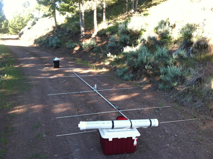
Twin Peaks, DN24so22
| 44.593218, -114.476509 |
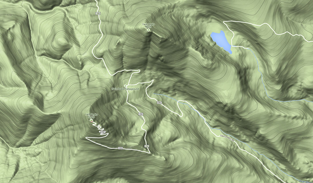
Details and photos at W7GJ Expedition to Twin Peaks Lookout at DN24so, Custer County, ID
Restrictions: High altitude, so check road conditions before departure.
Hawley Mtn, DN24aa04
| 44.017956, -115.998030 |
Hawley Mtn is in the SW corner of DN24, and offers DN14 a quarter mile west.
Sheep Trail Campground, DN24lh33
| 44.305770, -115.056610 |
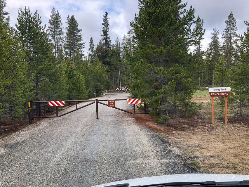
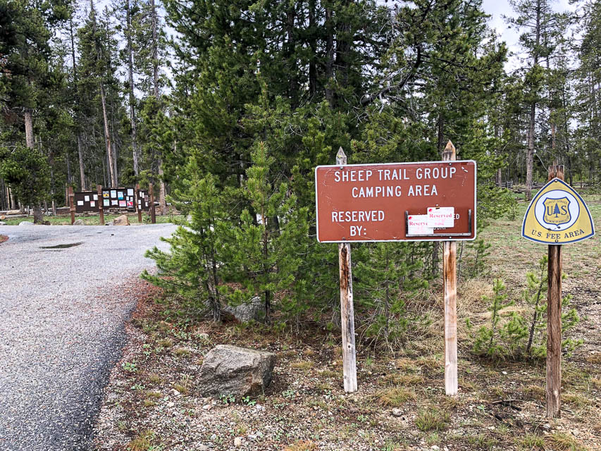

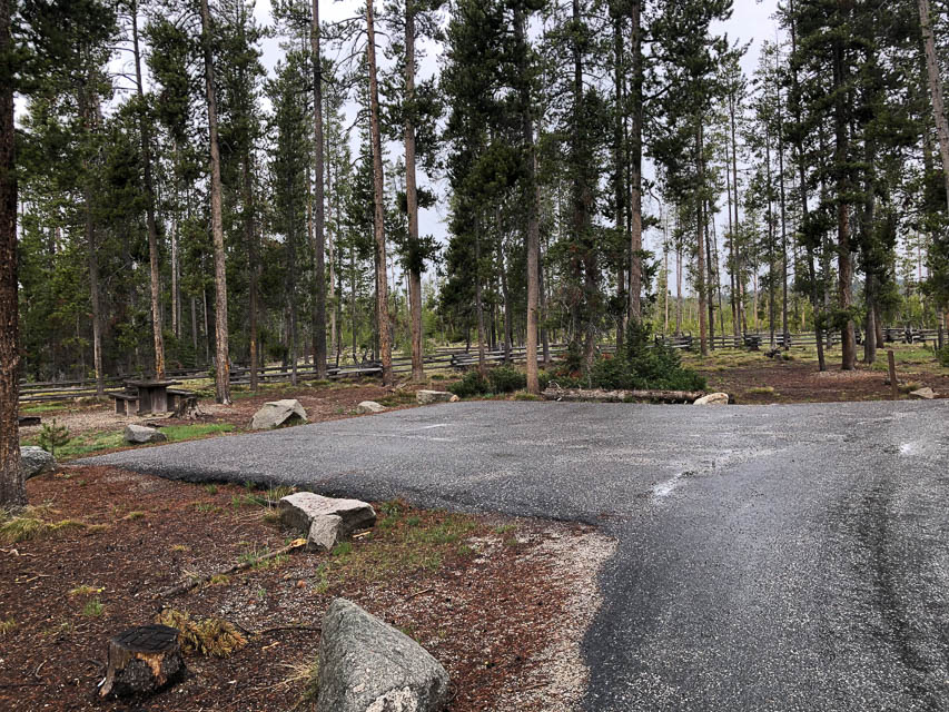

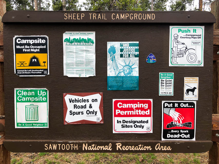
This is a convenient and extremely nice campground along Highway 21, about 15 minutes north and west of Stanley in the Sawtooth National Forest.
Although this spot is deep in a valley, it's a good base for finding accessible hilltops. For example, the next turnoff south of here onto Elk Creek Road (44.296056, -115.043013) needs scouting to see if there's a good spot.
Restrictions: Reservation recommended for this popular spot.
Fee area, base rate is $16/night.
Maximum 10-day stay.
Stanley Estates, DN24mf73
| 44.220973, -114.939943 |
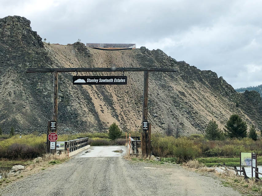
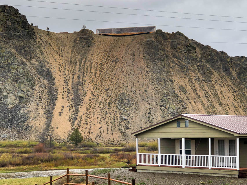
Don't go. This looks good on the satellite view but it's a private road and gated off. At the top is some sort of fabulous building under construction, obviously not inviting to rovers.
| < Previous | Page 14 of 24 | Next > |
©1998-2026 Barry Hansen