Rover Location Database
Idaho Rover Locations
- Idaho Map
- Idaho List
- Select Grid
- DN44 Yellowstone
- DN43 Rexburg
- DN42 Soda Spr
- DN35 Salmon
- DN34 Lemhi
- DN33 Craters of the Moon
- DN32 Pocatello
- DN27 Flathead
- DN26 Clearwater
- DN25 Nez Perce
- DN24 Salmon
- DN23 Mtn Home
- DN22 Twin Falls
- DN18 Sandpoint
- DN17 Coeur d'Alene
- DN16 Moscow
- DN15 Wallowa
- DN14 McCall
- DN13 Boise
- DN12
- Add a Place
Grid Square DN25
5 locations - Mt Baldy - Sula Peak - Woods Creek Pass - Hell's Half Acre - Bare Cone Lookout
Potential VHF rover sites in grid DN25.
DN25 dimensions are 96.9 by 69.2 miles.
Explore this grid in Google Earth or equivalent:
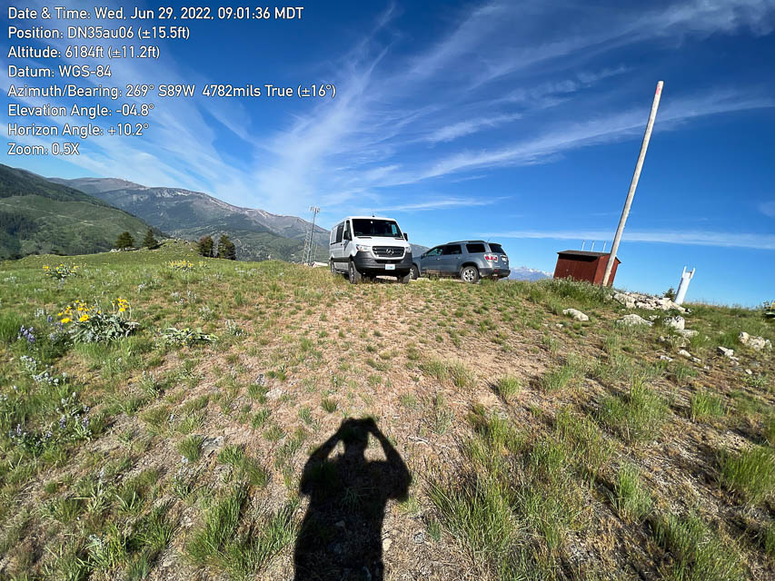
Mt Baldy, DN25xd84
| 45.143596, -114.009856 |

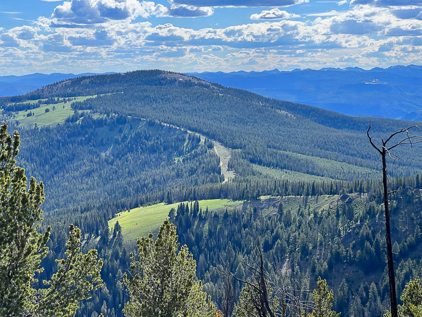
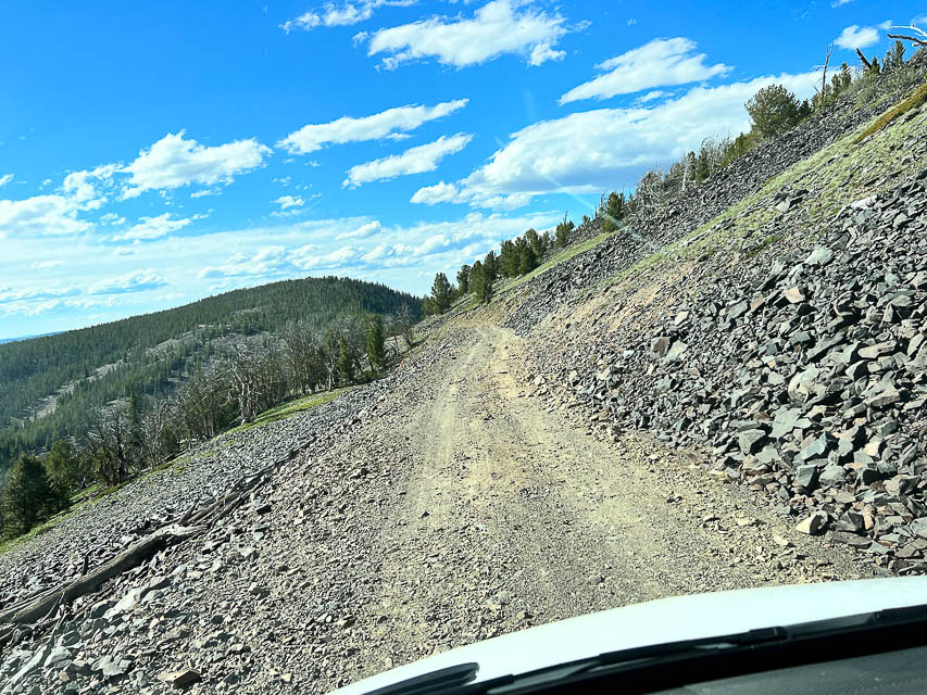

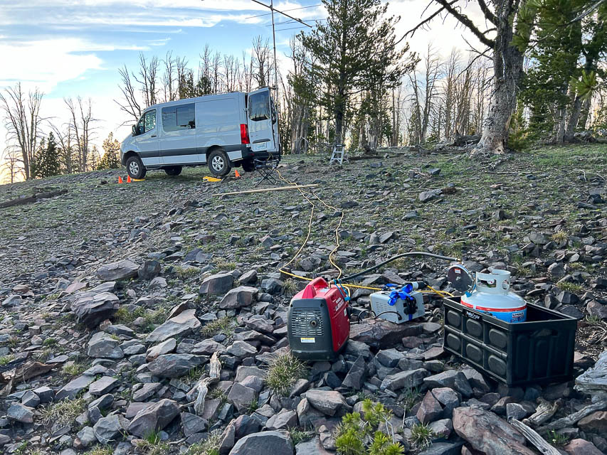
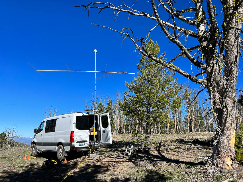
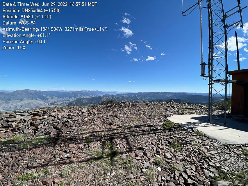
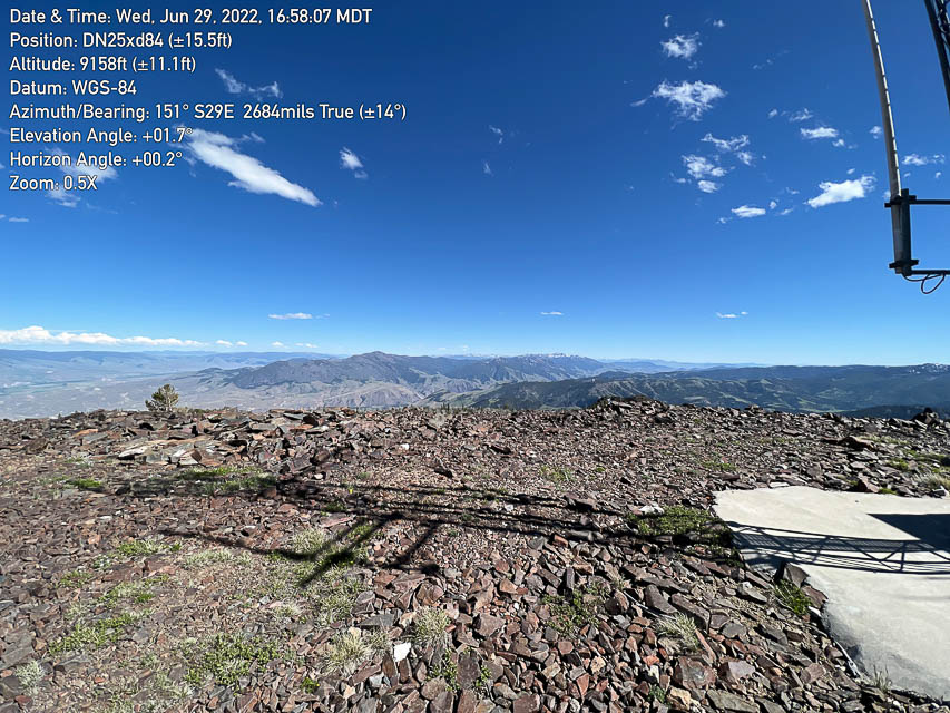
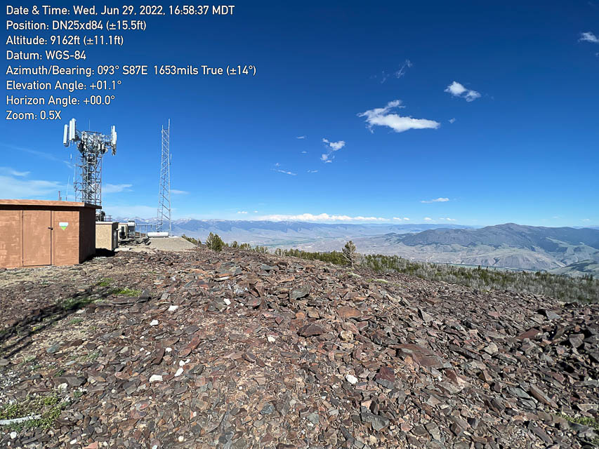
Mt Baldy is a very high and exposed peak west of Salmon, ID. If you can get away from all the radio towers at the top, this site works really well on VHF.
Driving directions:
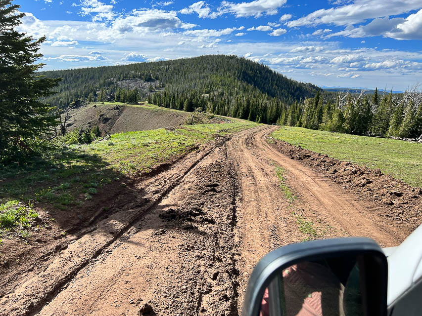
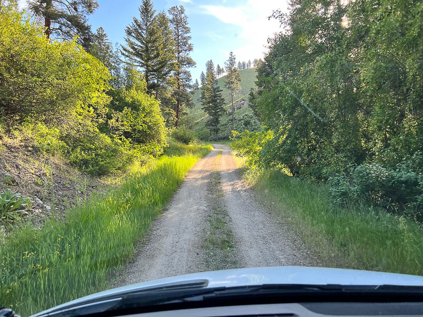
Call the ranger station for road conditions. Take Ridge Road to the top, which approaches from the north side. This road is maintained but snow drifts may remain longer.
I strongly recommend against Road 026 on the west side even though it might be clear of snow earlier. It is an unmaintained Jeep trail. Don't take Road 026 unless you have a highly capable 4x4 with lockers and ground clearance and tree-removal tools. It took me over 3 hours to go ten miles on this route, which is basically made of sharp rocks the entire route.
Restrictions: Snow can remain through the end of June or later.
Be prepared for altitude sickness.
Sula Peak, DN25xu96
| 45.859828, -114.000100 |
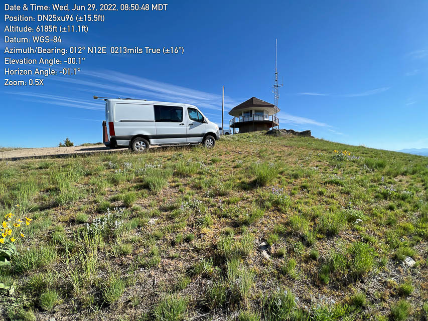
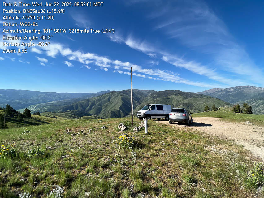
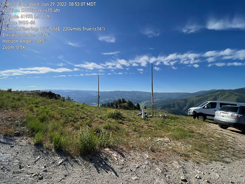
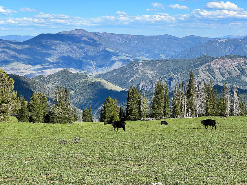
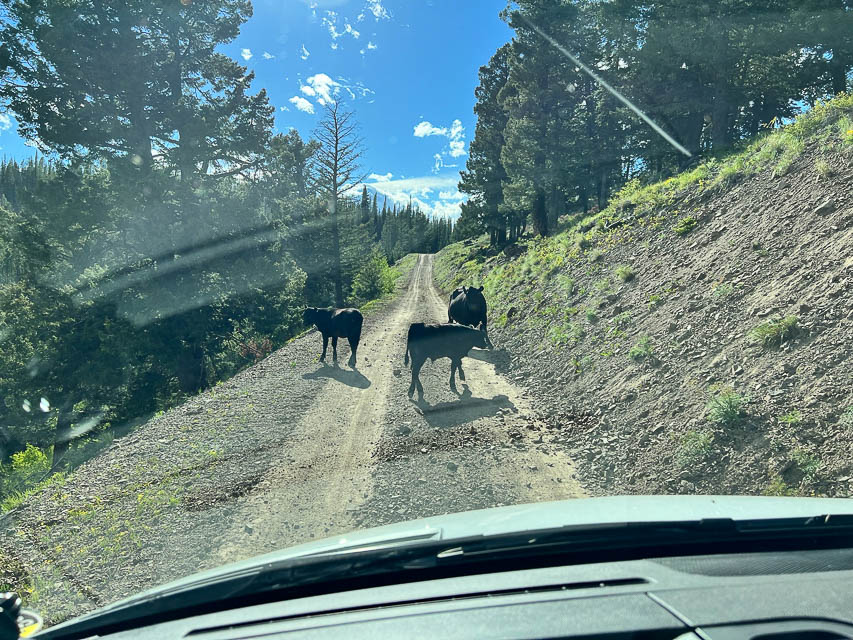
Sula Peak is exactly on DN25-DN35 grid line, a relatively short climb up unpaved roads to a high point off Hwy 93. There is a cellphone tower and a cattle-feeding station. About 35 minutes driving time from Darby.
However, there is no level area to sleep, there are people around in the summer because the lookout is staffed, and it's a small knob that can be crowded. You can't park on the grid line, so if your antenna is attached to your vehicle (like mine) then you're out of luck.
Woods Creek Pass, DN25sm77
| 45.532308, -114.438282 |
Woods Creek Pass is on the ridge line of the MT-ID border. This is a good launching point to explore NG-044 in both directions for good operating spots on the ridges.
Hell's Half Acre, DN25qp44
| 45.645595, -114.628557 |
Driving directions: Approach from the east side, i.e. using Hwy 12 from Missoula or Salmon.
Restrictions: Typically snowed in until June.
Bare Cone Lookout, DN25tr02
| 45.719174, -114.412236 |
Driving directions: Approach from the east side, i.e. using Hwy 12 from Missoula or Salmon.
Restrictions: Typically snowed in until June.
| < Previous | Page 13 of 24 | Next > |
©1998-2026 Barry Hansen