Rover Location Database
Idaho Rover Locations
- Idaho Map
- Idaho List
- Select Grid
- DN44 Yellowstone
- DN43 Rexburg
- DN42 Soda Spr
- DN35 Salmon
- DN34 Lemhi
- DN33 Craters of the Moon
- DN32 Pocatello
- DN27 Flathead
- DN26 Clearwater
- DN25 Nez Perce
- DN24 Salmon
- DN23 Mtn Home
- DN22 Twin Falls
- DN18 Sandpoint
- DN17 Coeur d'Alene
- DN16 Moscow
- DN15 Wallowa
- DN14 McCall
- DN13 Boise
- DN12
- Add a Place
Grid Square DN23
9 locations - Thorn Creek Lookout - Galena Pass - Sunset Mtn Lookout - Mores Creek Summit - Gooding Gravel Pit - Danskin Lookout - Trinity Mtn - Bell Mtn - Bennett Mtn South
Potential VHF rover sites in grid DN23.
DN23 dimensions are 100.3 by 69.2 miles.
Explore this grid in Google Earth or equivalent:
Thorn Creek Lookout, DN23cr98
| 43.744622, -115.751188 |
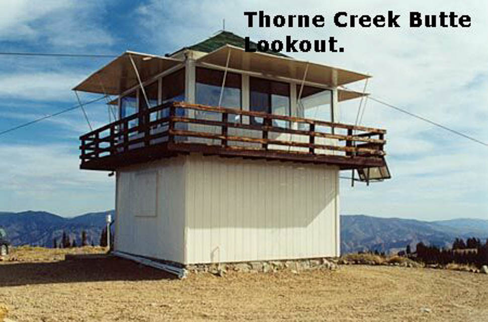
The lookout may be staffed in the summer months. Unobstructed 360 degree view. Excellent coverage into Boise and points west. Disappointing propagation elsewhere, probably due to lack of activity.
Driving directions:
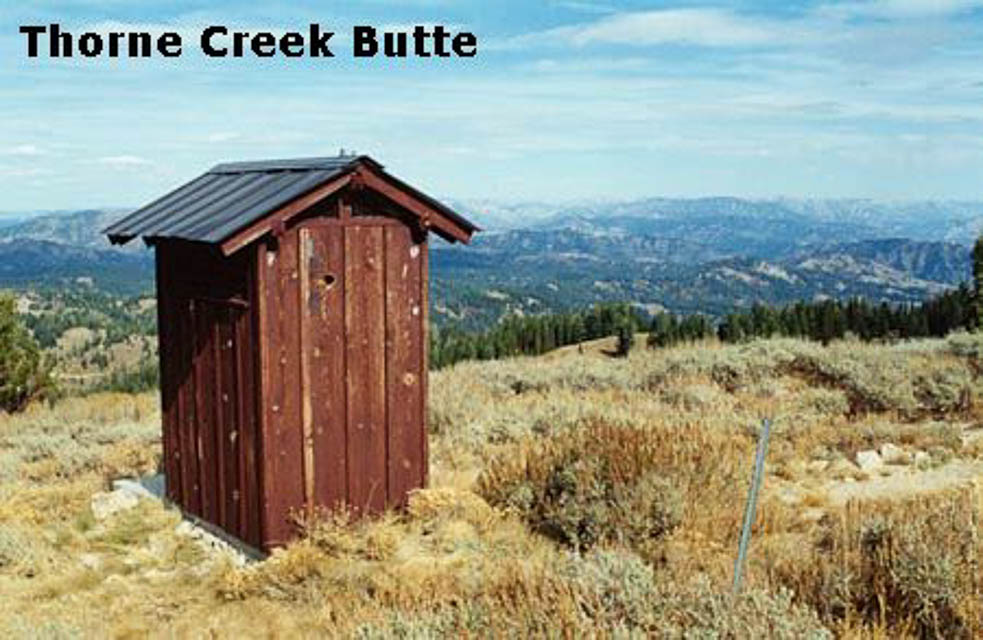
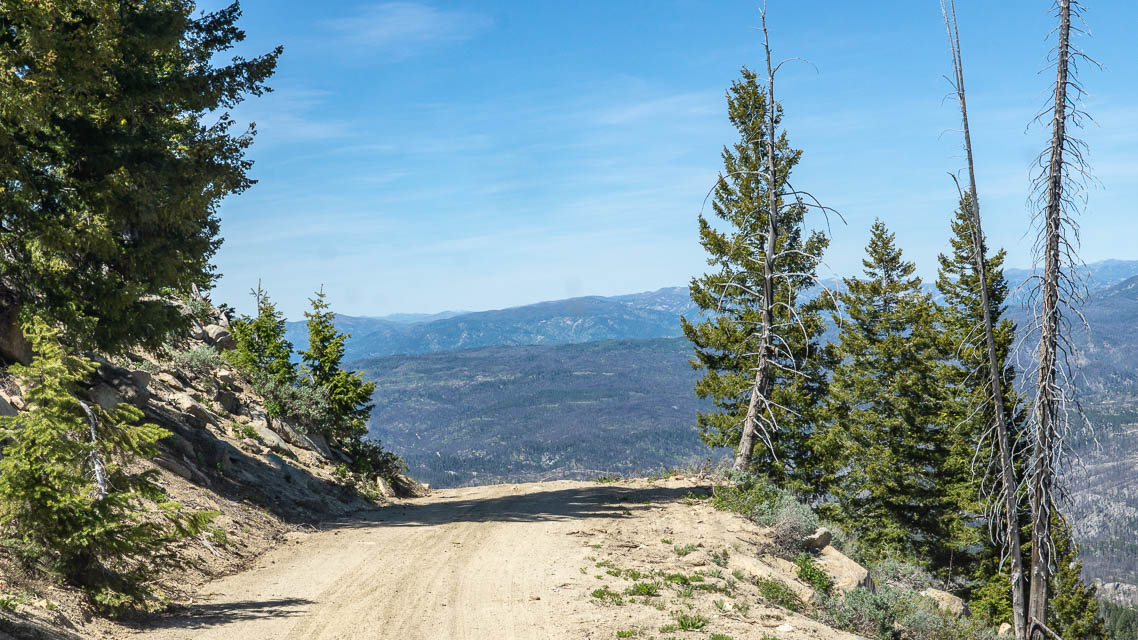
From Idaho City, head east 1.5 miles on Hwy. 21 to a right turn on F.S. road 304. The road is in fairly decent shape up to a mile below the summit, where there is a 4-unit campground with nice vault toilet facilities.
The rest of the way to the summit is typical mountain road, rocky and washed out in places. There are two routes to the lookout which split near the top; neither is preferred over the other.
Restrictions: Expect some remaining snow in June.
Galena Pass, DN23pu48
| 43.870033, -114.712463 |
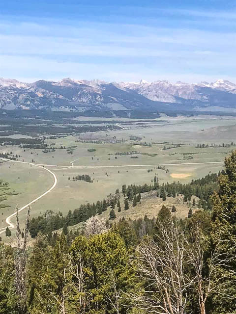
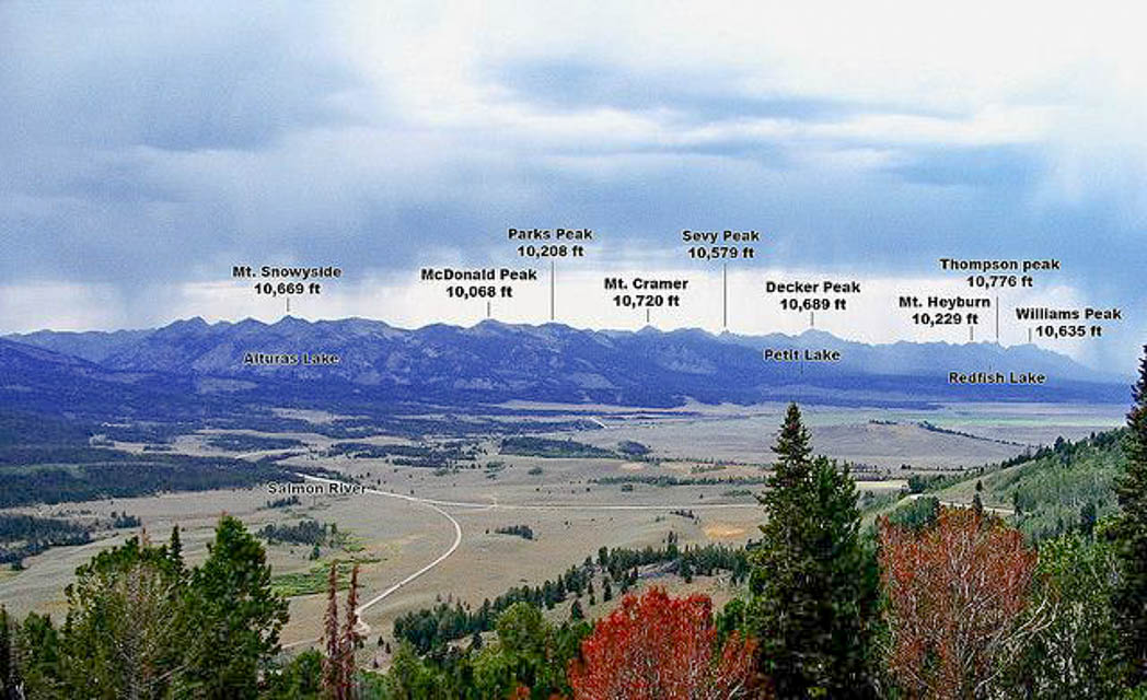
Galena Summit is one of the highest paved roads in Idaho. This is a high mountain pass on Hwy 75, the Sawtooth Scenic Byway, leading from Ketchum to Stanley.
About a mile west of the summit is Galena Overlook, a handy place to park with a decent view east. Google Street View.
Sunset Mtn Lookout, DN23ev25
| 43.898790, -115.646818 |
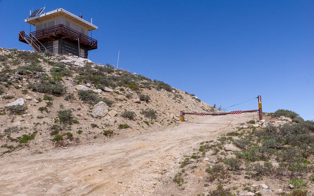
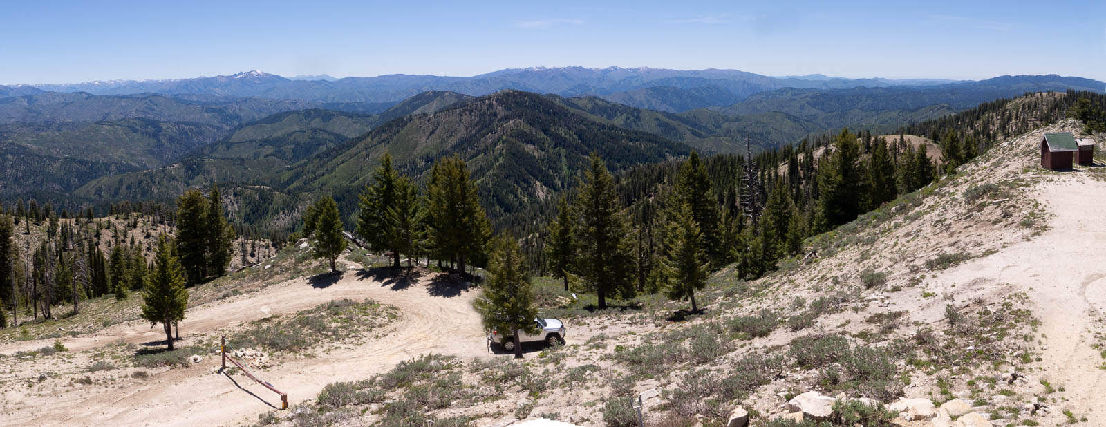
This peak with a lookout seemed promising in theory, but it's a very long drive with no reward because I couldn't park up on top to reach a clear horizon. The last bit is gated, leaving me with only a northeast view toward emptiness and Canada. I spent all afternoon with a long drive but made zero contacts.
On the plus side, the views are spectacular and it does have a vault toilet.
The lookout was unstaffed when I visited June 2018, although a friendly park ranger made a routine visit.
A nearby spot that's much easier to reach is DN23ew Mores Creek Summit parking lot. It has just as good of a horizon view as the lookout.
Driving directions: From Idaho City, drive north on Hwy 21 (Ponderosa Pine Scenic Route).
Turn right at the Mores Creek Summit trailhead parking area (43.931809, -115.668737).
Follow this unpaved road, FS 316, to the top.
Total driving time is about an hour from Idaho City.
Restrictions: Rough unpaved road. Any vehicle with decent ground clearance could make it. The first bit is a steep stretch but then it's not too bad; it's just a long slow drive to the top, about half an hour.
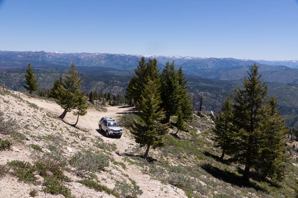
Mores Creek Summit, DN23ew01
| 43.922370, -115.662270 |

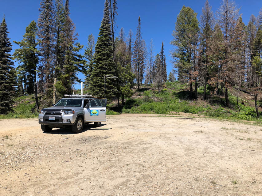
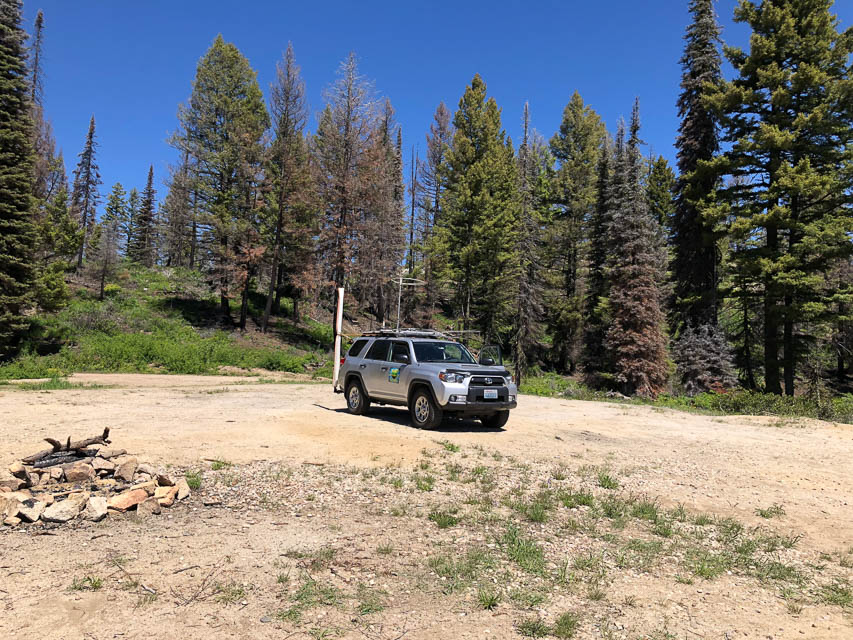

Mores Creek Summit is a large flat easy-to-reach parking area with good horizon in most directions. It's exactly at the turnoff to Sunset Mtn Lookout, but I vastly prefer its convenience over the extra drive to the mountain peak. The horizon here seems just as good as the peak; stop here unless you know the peak's final gate is open.
Driving directions: From Idaho City, drive north on Hwy 21 (Ponderosa Pine Scenic Route).
Enjoy the extremely picturesque drive up the mountain.
Turn off at the Mores Creek Summit trailhead parking area.
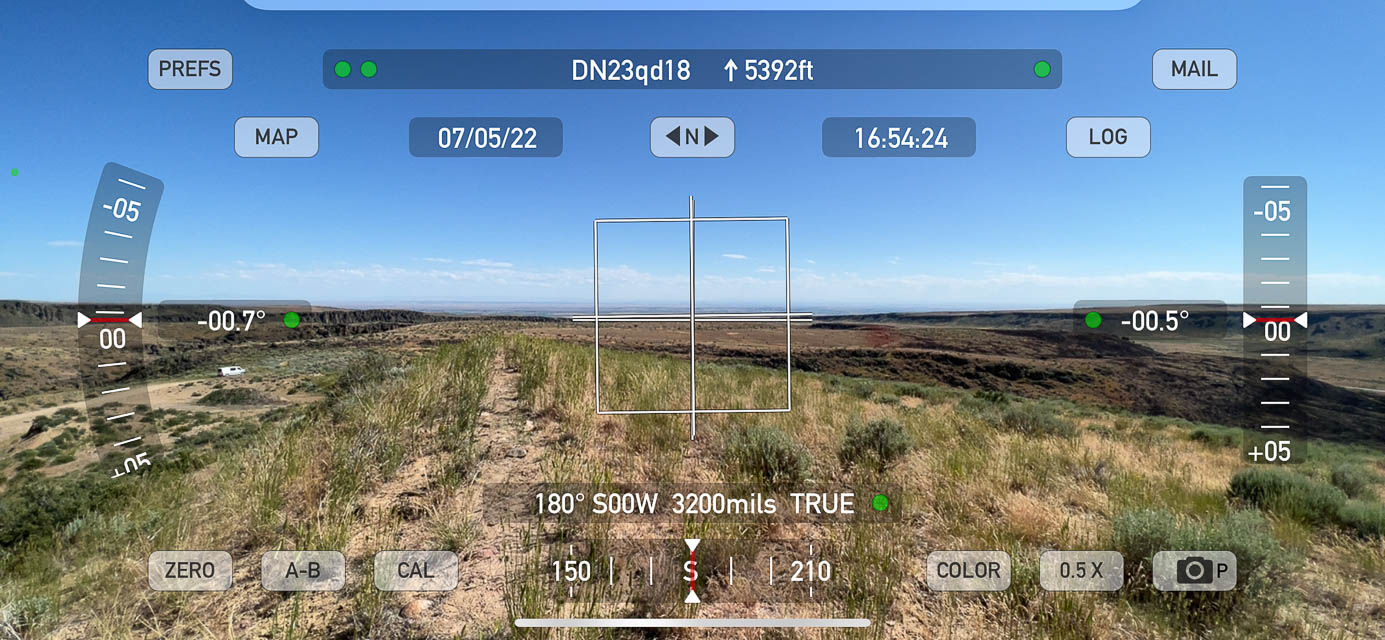
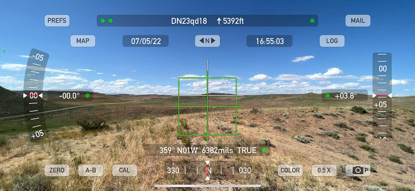
Gooding Gravel Pit, DN23qd18
| 43.162287, -114.650694 |

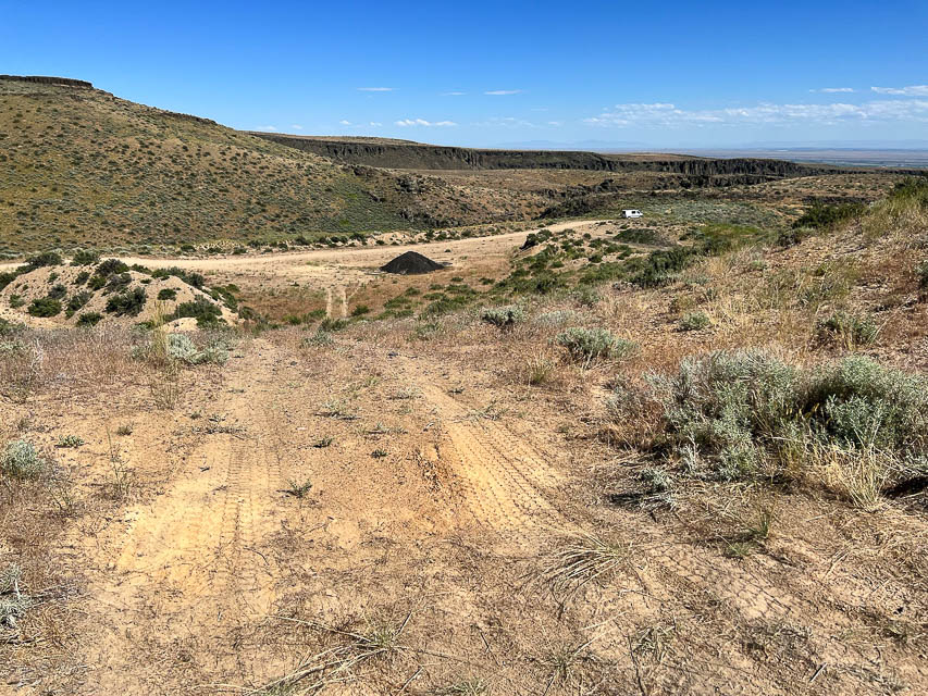
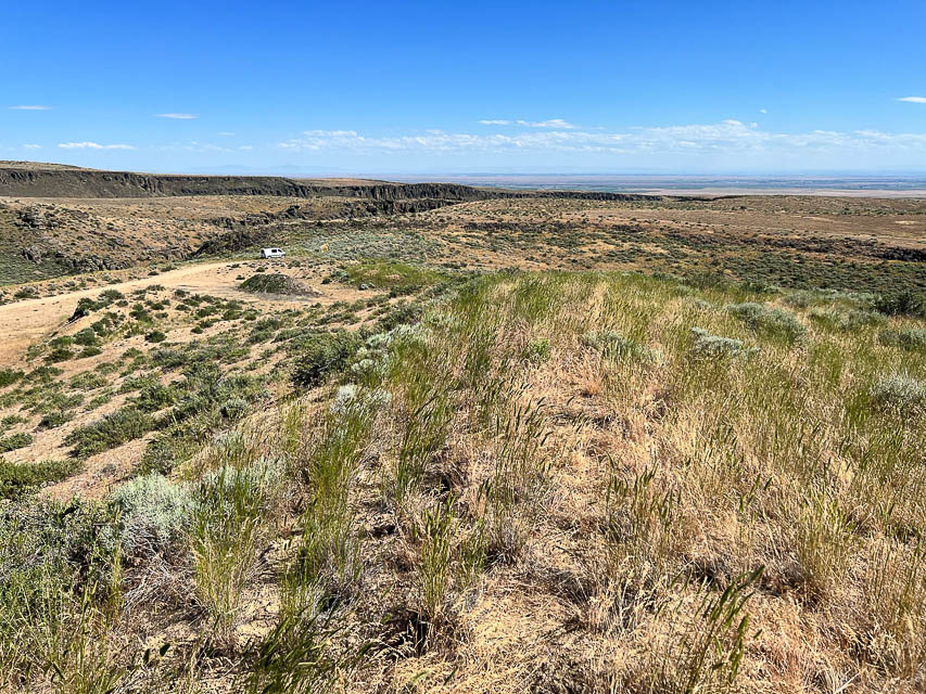

Why are so many gravel pits at the top of hills? Hwy 46 between Fairfield and Gooding is a high plain and contains an even higher large gravel pit on a hilltop. Look for a sign to the "City of Rocks" road, and on the east side there's an open hilltop with excellent horizon. This is much better than the Camas Prairie Overlook a few miles west.
Driving directions: From Mountain Home take Hwy 20 east, drive 52 miles.
At Fairfield turn right onto Hwy 46 south, drive 13 miles.
At 43.163824, -114.658626 turn east on unpaved road, drive a half mile.
After entering the gravel pit, try driving up the last little ascent
to the very top.
Danskin Lookout, DN23ej09
| 43.413049, -115.659557 |
Danksin Peak is 20 miles due north of Mountain Home and is very visible from the Interstate as you head to/from Boise. The peak rises high above the desert to its south and very steeply above the South Fork Boise River to its north. The top has impressive views in all directions, with the Snake River Plain and Owyhee mountains to the south. To the north is the green Smith Prairie and the Boise and Trinity Mountains, which are very impressive from this angle. Read more at IdahoSummits.com
Trinity Mtn, DN23go83
| 43.598851, -115.428957 |
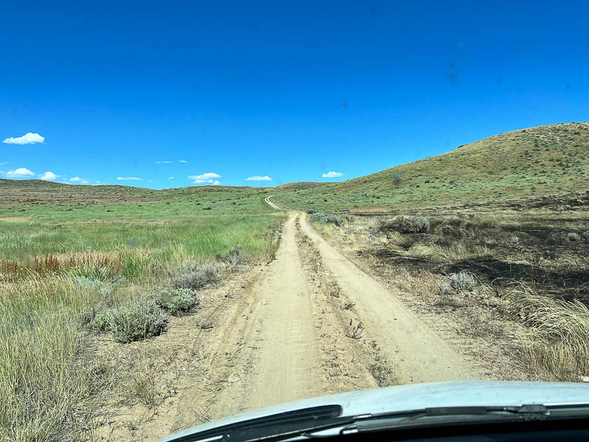
Satellite view of road looks impassable. At this altitude the road will be snow-covered for most of the year. But it sure is a nice tall peak, even though it's so remote.
Bell Mtn, DN23wk63
| 43.431048, -114.111146 |
A good peak where ground slopes away in all directions. Satellite view shows one radio tower and some cars.
Driving directions: Bell Mtn is 3 hours east of Boise (about 2.5 hours east of Mountain Home)
Careful with your GPS and Google Maps - there is another different Bell Mtn near Clyde that has no roads
Your route must be through Gannett or Bellevue
Hwy 20 east from Mountain Home
At Stanton Crossing, turn north onto State Hwy 75
Drive through Bellevue on Main Street
Turn right onto Pine Street, this becomes Muldoon Canyon Road (5.5 mi)
Turn right onto Sharps Canyon Road (5 mi to top)
Bennett Mtn South, DN23gf56
| 43.235502, -115.451548 |
The south peak of Bennett Mtn is (almost) free of commercial towers. The north peak is loaded with'm. This spot is ten miles northeast of Mountain Home and should be relatively easy to reach from I-84.
| < Previous | Page 15 of 24 | Next > |
©1998-2026 Barry Hansen