Rover Location Database

Grid Field FN

7 locations - Welsh Mtn - Henry Hudson HS - Crawford Hill Horn - Mount Mitchill Overlook - Transistor Water Tower - Quill Hill - Hereford Summit

Potential VHF rover sites in the grid field FN.

Be careful.
FN dimensions are 1154.9 by 1623.5 miles.
Hover mouse over a map marker for more about the grid and site.

Welsh Mtn, FN10xc90

40.087326, -76.002431
Map Location Near city of Weaverland, Lancaster County, WA, Altitude 1100
Map See Google, Bing, OpenStreetMap, FN10, Beam heading

Last update: 2026-04-27
Comments by: Scott AA2SD

Henry Hudson HS, FN30aj14

40.392188, -73.985764
Map Location Near city of Highlands, Monmouth County, NJ, Altitude 250
Map See Google, Bing, OpenStreetMap, FN30, Beam heading

Last update: 2026-04-27
Comments by: Scott AA2SD

Crawford Hill Horn, FN20vj73

40.390799, -74.184722
Map Location Near city of Morganville, Monmouth County, WA, Altitude 370
Map See Google, Bing, OpenStreetMap, FN20, Beam heading

Last update: 2026-04-27
Comments by: Scott AA2SD

Mount Mitchill Overlook, FN20xj97

40.408117, -74.005285
Map Location Near city of Atlantic Highlands, Monmouth County, NJ, Altitude 260
Map See Google, Bing, OpenStreetMap, FN20, Beam heading

Last update: 2026-04-27
Comments by: Scott AA2SD

As shown in YouTube video 2025 Contest Rover Mt Airy Pack Rats

Transistor Water Tower, FN20wi08

40.368529, -74.161248
Map Location Near city of Holmdel, Monmouth County, NJ, Altitude 144
Map See Google, Bing, OpenStreetMap, FN20, Beam heading

Last update: 2026-04-27
Comments by: Scott AA2SD

As shown in YouTube video 2025 Contest Rover Mt Airy Pack Rats

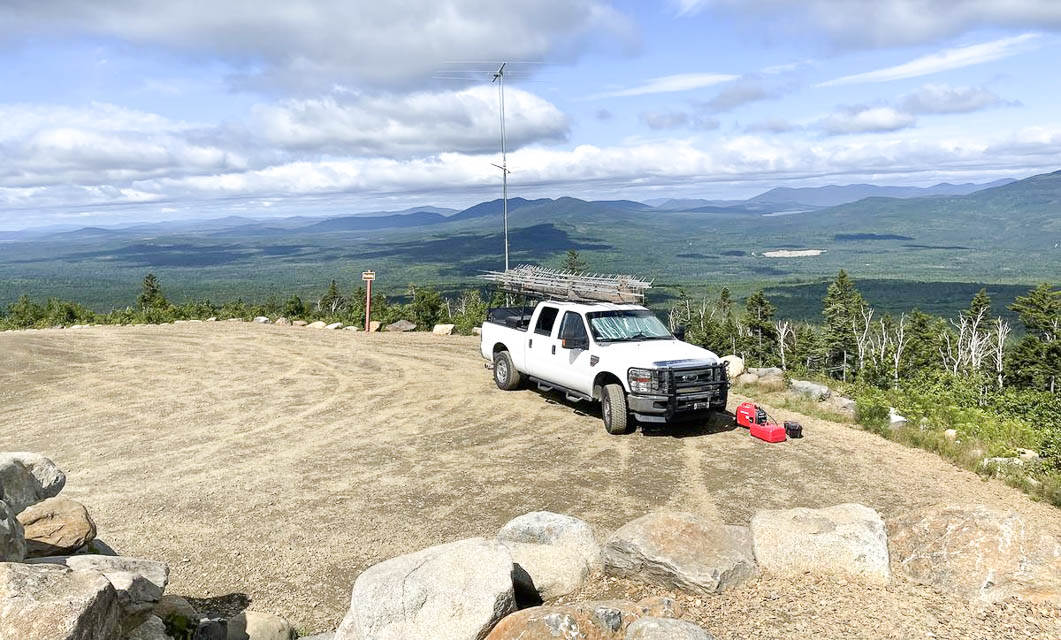
Quill Hill, FN45rb70

45.044577, -70.521360
Map Location Near city of Rangeley, Franklin County, ME, Altitude 2600
Map See Google, Bing, OpenStreetMap, FN45, Beam heading

Last update: 2021-08-24
Comments by: Paul N2EME

Quill Hill 1

Restrictions: Day use only.

Hereford Summit, FN45eb79

45.083131, -71.601945
Map Location Near city of Coaticook, Coaticook County, QC, Altitude 2600
Map See Google, Bing, OpenStreetMap, FN45, Beam heading

Last update: 2021-07-15
Comments by: Nicolas VE2NCG - VA2VT

  < Previous Page 18 of 20 Next >