Rover Location Database
United States Rover Locations
- Select Grid
- USA
- USA List
- BO Alaska
- BP Alaska
- CM California
- CN Pacific NW
- CO Canada
- DL Mexico
- DM Southwest
- DN Rockies
- DO Canada
- EL Texas Florida
- EM South
- EN Central
- EO Canada
- FM East Coast
- FN Northeast
- FO Canada
- Data Check
Grid Field CN
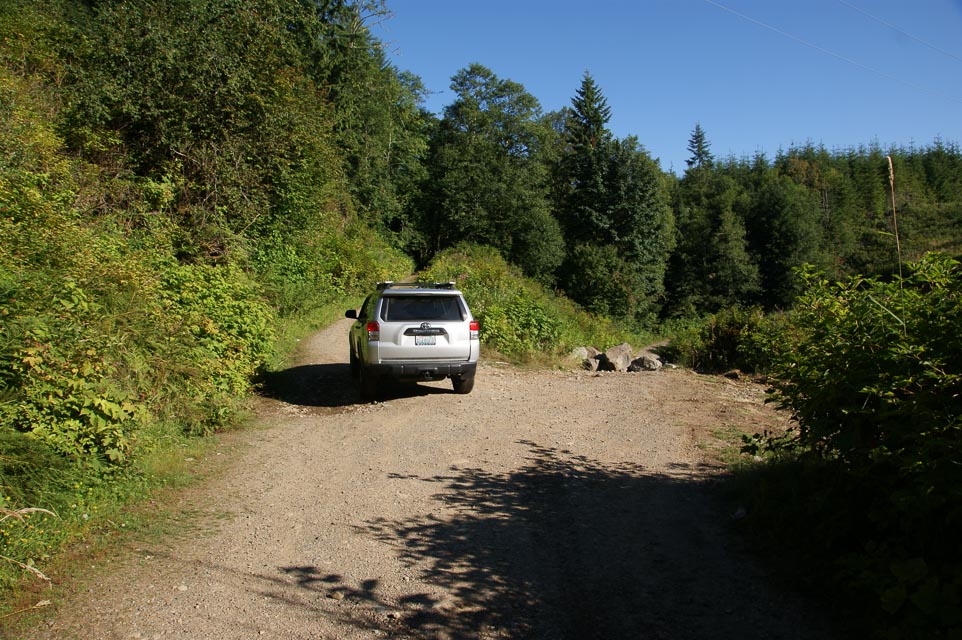
285 locations - Lord Hill Park - Mt Ellinor - Earthworks Park - Swauk Forest Trailhead - Badger Mtn - Darland Mtn - Cowiche Upland - Cleman Mtn - Shoreline CC - Brier Park - Forest Park - Horizon View Park - Shoreview Park - Oakville Rd - Pioneer Hill - Paradise - Quinalt Ridge - Raven Roost - Monroe Fairgrounds - Denny Ahl Hill - Mt Octopus - Langley Hill - Griffiths-Priday SP - Grayland Beach SP - Twin Harbors SP - Big Hill - Wellington Park - Hart's Pass - Deer Park - Sauk Mtn Trailhead - Jr Point Campground - Lyman Hill - Haller Pass - Huckleberry Ridge - Sun Top Lookout - Pacific Beach SP - Bill Ellis Park - Fox Peak - Cooper Mtn - Long Creek Rd - Yahoo Lake - Near Yahoo Lake - Driftwood RV Resort - Trout Lake - Huckleberry Access - Peavine Ridge - Red Top Mtn - Larch Mtn - Middle Chuckanut - Keechelus Ridge - Belfair State Park - Capitol Peak - Amabilis Mtn - Wild Horse Wind Farm - Whiskey Dick - Woodland Ridge Alternative - Kings Lake Road - Ridge Near S. Prairie Creek - Lime Kiln Trailhead - I-5 Toutle River SB - Shell I-5 - Mt Erie - Mt Anderson - Chelan Butte - Mountain Way ES - Darrington - Darrington2 - Sunnyside Overlook - Mt Pilchuck Trailhead - Mt Pilchuck Landing - Green Mtn - Slate Peak - Snoqualmie Ridge - High Rock Road - I-90 Indian John - Tronson Ridge - Mt Rainier Summit - Rainout Ridge - Little Mtn - I-5 Smokey Point - McMicken Heights - Mt Jupiter - Mt Crag - I-5 Federal Way - Newport Hills - Overlook Point Park - Mt Pleasant Cemetery - Dray's Mound - I-5 Scatter Creek - Bahokus Peak - North Point - Hole in the Wall - Ocean City - Mowich Road - Mowich Road - Toppenish Ridge - Goose Hill - Woodland Ridge - Davis Peak - Sekiu Airport - Sekiu - Ocean Shores Airport - Skyline High School - Long Beach - Eatonville HS - Mt Walker - Electron Resevoir - Granite Falls HS - Woodridge Bellevue - Maryhill Microwave - Quartz Mtn - Cle Elum Ridge - Lake Stevens HS - Squak Mtn - CN86-87-96-97 - Badger Mt - Lion Rock/Table Mtn - I-90 Rye Grass - Roosevelt - Bonneville Dam - Beacon Rock - Kalama Gridline - Kalama Gridline - Kalama Ridge - Skyline High School - Cougar Mtn Park - Skyline High School - Pine Lake Estates - Mirrormont - Highland Drive - Mission Peak - Smith Creek Viewpoint - CN71-72 Line - CN71-72 Peavine Ridge - Private Home - Champoeg State Park - CN71-72 Grid Line - Mt Hood Lodge Rd - Pelican Butte - Watchman Overlook - Spencer Butte Trailhead - Hale Ridge - CN95-DN05 - Oxhead Ridge - Agency Hill - Grass Valley Cemetery - Wave Lane - The Knoll - Cascade Head - Taft Cemetery - Kenyon Mtn - Shaniko - Long Butte - Flat Top Mtn - Swampy Lakes Sno Park - Kapka Butte Sno Park - Paulina Peak - Glass Butte - Knapper Camp Gridline - Alkali Lake Grid Line - Old MRA Campsite - Green Mtn Campground - Green Mtn Rock Pit - Hole in the Ground - Walker Mtn Lookout - Hampton Butte - China Hat - Gilchrist Butte - Upper Klamath Ridge - Siskiyou Plains - Soda Mtn - Stukel Mtn - Round Butte - King Mountain - Ophir Mtn - Iron Mtn - Iron Mtn - LL Stub Stewart - Liberty Inn - Logan Rd RV Park - Goodwill Parking Lot - D River Beach - South Beach - Seal Rock - Oregon Dunes KOA - Coast Guard Hill - Driftwood State Park - Tokatee Klootchman - Fivemile Ridge - Patterson Park - Dixie Mtn - Spike Butte - Fern Hill - Knox Butte - Spores Point - Moon Mtn - Round Mountain - Taylor Butte - Wards Butte - Dickinson Mtn - Devore Mtn - Council Crest Park - Hamaker Mtn - Ham Radio Outlet - Milwaukie - Light Peak - Drake Peak Lookout - Hagelstein Mountain - Mount Ashland - Cloud Cap - Onion Mountain - Mt. Scott - Pine Mtn - Lava Butte - Seven Devils Road - Carter Ridge - Carter Ridge - Pilot Butte - CN94-95 Grid Line - CN94-95 Grid Line - Mary's Peak - Near Mary's Peak - Dorn's Peak - Beachside State Park - Tillicum Campground - Mount Defiance - Holter Road - Bald Peak - Cascade Head - Larch Mountain - Mt Hebo - Round Top - South Fork Mountain - Nicolai Mtn - Surfside Golf Course - Cape Blanco Park - Fort Stevens State Park - Fort Stevens State Park - Roads End State Park - Voyage Avenue - Cape Lookout - Low Divide Pit - High Divide - Myrtle Creek - Baynes Peak - Mt Prevost - Bear Mtn Viewpoint - Mt Benton - Malahat Summit - Ucuelet - Minute Creek - Malaspina College - Radar Hill - Zeballos - Mt Tolmie - Cypress Lookout - Mt Woodside - Island View Beach - Mystic Forest RV Park - Crissey Field Rec Site - Shelter Cove - Point St George - Dry Lake Mtn - Bald Hills Rd - M Line - Maple Creek - Bald Hills - Redwood - NF 17N21 - Dorris - Fickle Hill Rd. - South Jetty Humbolt Bay - Strawberry Creek - Shively Ridge - Fox Camp - Horse Mtn Ridge - Horse Mtn - Paradise Ridge - Etter Ranch Rd - Soldier Mtn Lookout - Sugar Hill Lookout - Lake Britton - Grizzly Peak - CN81-91 Grid Line - Dry Lake
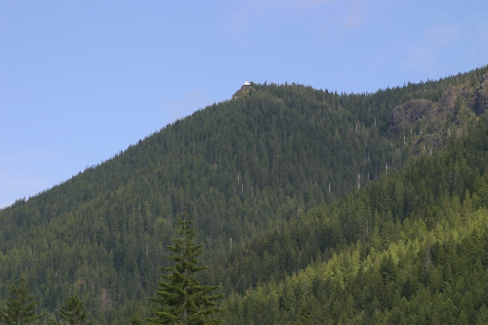
Potential VHF rover sites in the grid field CN.
CN dimensions are 1154.9 by 1623.5 miles.
Lord Hill Park, CN87xu26
| 47.861518, -122.059062 |
Lord Hill Regional Park contains some local high points in a park with 30 miles of hiking trails. This parking lot is a trailheadabout about three miles west of the CN87-CN97 grid line (outside the park).
Mt Ellinor, CN87jm02
| 47.510311, -123.247845 |
Driving directions: Enter the National Forest at Hoodsport. Head for the Staircase and take a right.
Earthworks Park, CN87uj57
| 47.408154, -122.284855 |
Swauk Forest Trailhead, CN97rh09
| 47.332820, -120.578923 |
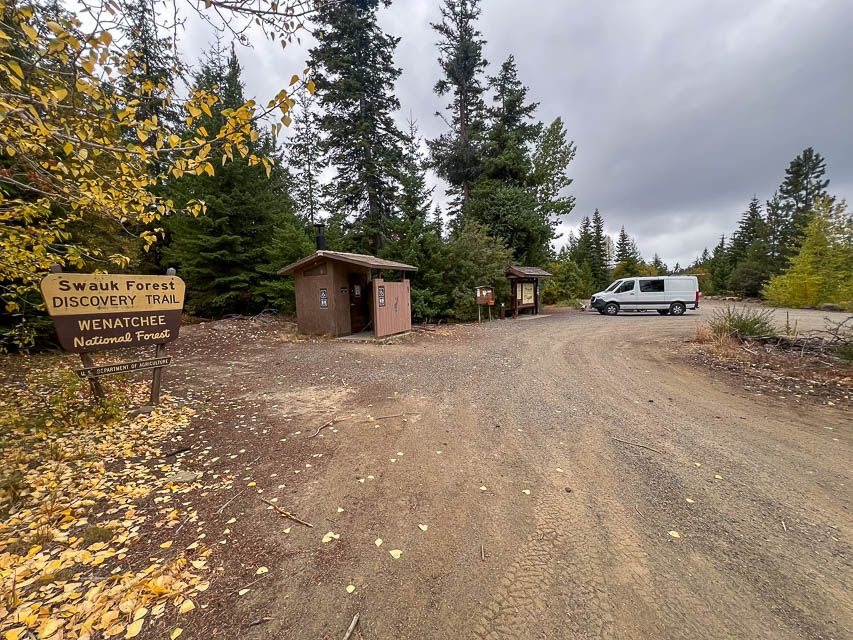
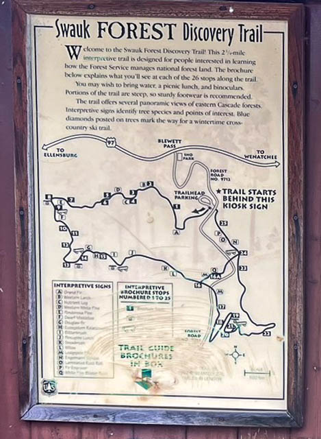
This is the Blewett Pass Sno-Park area, which offers overnight camping with easy access from Hwy 97 between Cle Elum and Wenatchee. The Swauk Forest Discovery Trail Trailhead is a 2-1/2 mile interpretive trail designed for people interested in learning how the Forest Services manages national forest land using 26 stops along the trail. Bring water, snacks, sturdy footwear and binoculars.
The Sno-Park is about 0.3 miles up NF-9716 from Blewett Pass. It has a parking lot (gravel over ancient pavement) about the size of a football field. There are a couple of primitive campsites, one in the southeast and one in the north. The north site has a fire ring and picnic table. The south site is by a pit toilet, near where the trail takes off. This is far from a grid line, but you might be able to park on the county line.
Robert KD7WNV
Restrictions: Signage says that a National Forest Pass or Federal Interagency Pass is required.
Badger Mtn, CN97vn89
| 47.583283, -120.180352 |
Darland Mtn, CN96jm43
| 46.513666, -121.209535 |
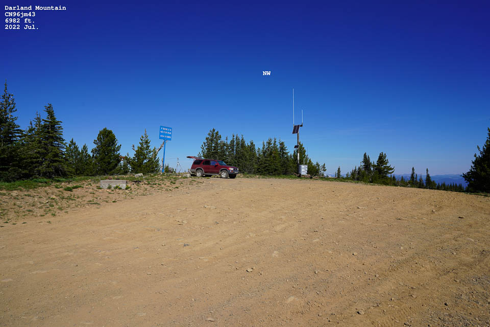
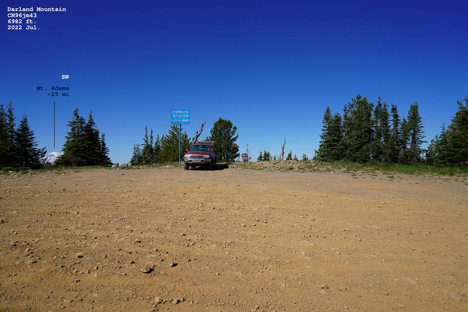
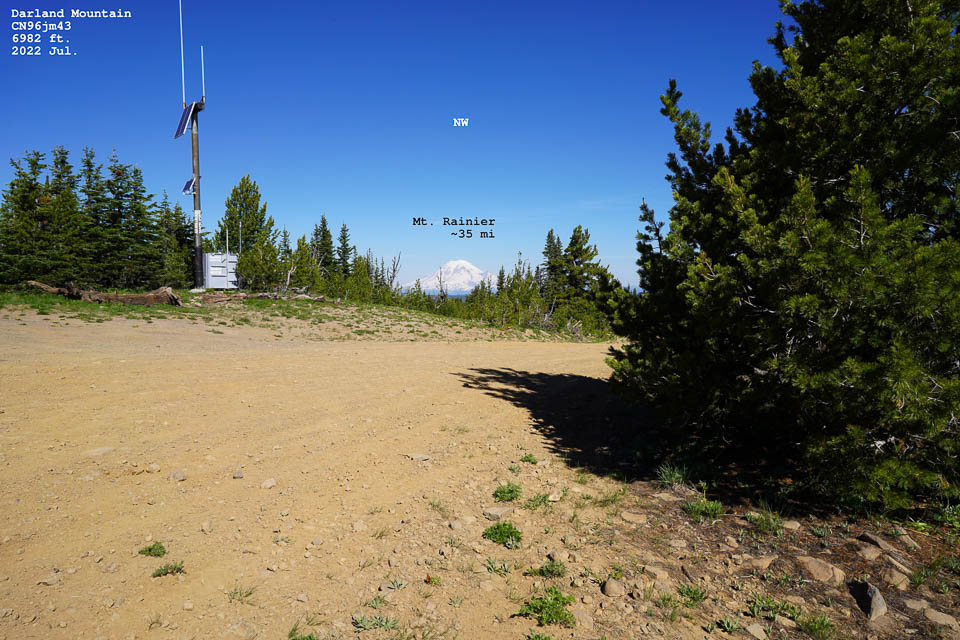
SOTA Summit W7W / MC-010
Darland Mountain is a killer location because of its elevation. I read that it is one of WA highest public road.
From Union Gap drive west into Ahtanum. Once you reach the campgrounds you can choose North or Middle Fork roads. Both leads to Darland. Large car park, drive up is a bit rough towards the top, but no low gear required. Car park is right at the border of Yakima Native land. I used the North Fork road. Talked to other people on top and they said that the Middle Fork road was also rough towards the end.
However, it is a bit away from the North-South corridor most people in Western Washington use during contesting. So you may need more power/antenna to reach stations that are reluctant to turn towards the Cascade Mountains. Someone should use this location during a September contest. I acknowledge it is a long drive from Seattle. I used 144, 1296 MHz from here. No RF noise at all. Reached W7RNB from here on 23 cm SSB with 10 Watts 22 element, a distance of about 103 miles.
- Peter AF7GL
Cowiche Upland, CN96qo46
| 46.611034, -120.625665 |
A high point practically in the city of Yakima with a parking area for hikers.
Cleman Mtn, CN96nt77
| 46.822944, -120.855772 |

Cleman Mountain [CN96nt] is east of Nile next to road WA-410. Upper section is a bit rough to drive up, summit is open. Maybe good for a January location as it maybe snow free.
Cleman has a radio site on top. It has RF noise on 50 MHz and 144 MHz but not on 432. Probably can be mitigated by parking a little further away from the RF stations.
As a rover location probably not the best. As a rover, you might be better off to drive to the pass itself. - Peter AF7GL
Shoreline CC, CN87tr69
| 47.746858, -122.365903 |
Shoreline Community College offers large parking lots at the top of the hill.
Restrictions: Be aware of school open times and special events. These parking lots can be used for car shows, antique radio events, and other happenings.
Brier Park, CN87ut70
| 47.792171, -122.268940 |
Brier Park next to the Brier City Hall has picnic tables next to the kids playground and just to the East where there are very tall trees. It is really good to the SW, S, E, and to the NE. Due West is a hill and not too good for VHF in that direction. There's a nice big ball field. - Chuck WA7BRL
Restrictions: If you park by the kids playground there are high-tension power lines and a major cell tower overhead, so there might be less noise by the baseball diamond.
Forest Park, CN87vx30
| 47.959400, -122.221140 |
An intriguing spot is Forest Park in South Everett. I’ve gone up there to make 10 meter contacts. Have not tried VHF yet. - Ed N7PHY
Horizon View Park, CN87us65
| 47.774068, -122.277011 |
Any place with a name like "Horizon View" has got to be good. And it is good.
Restrictions: No overnight camping.
Shoreview Park, CN87ts60
| 47.751839, -122.365903 |
This is a really nice city park with tennis courts, hiking, big parking lots, and more. At 350' the elevation is well below Shoreline CC up the hill. For VHF purposes, the hiil blocks propagation east.
My friend Alex and I listen in a lot of places around Mountlake Terrace and the best low noise location is Shoreview Park in Shoreline (upper terrace near tennis courts). - Vlad UA6JD /W7
Oakville Rd, CN86hs09
| 46.789139, -123.410482 |
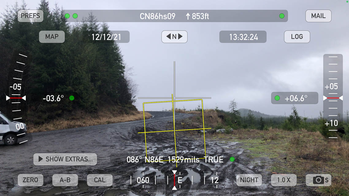
Large flat turnout along a logging road offers a good drop-off facing the rest of the country.
This is a winding forest road from Raymond to Oakville and is only paved for the first half, then it's simply a wide maintained logging road.
Restrictions: Turnout is muddy in winter. Unpaved road is generally good condition.
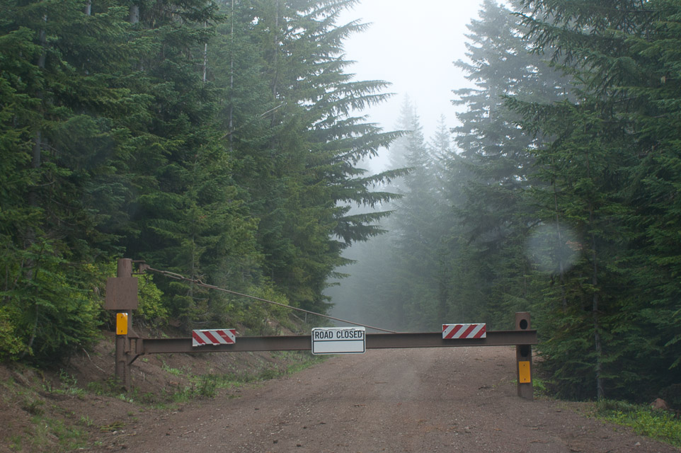
Pioneer Hill, CN86ft64
| 46.810807, -123.528024 |
Don't go, gated off. This looked like a promising knob but the road is closed at the bottom.
Paradise, CN96ds18
| 46.785701, -121.736129 |
Quinalt Ridge, CN87cj18
| 47.410254, -123.818296 |
Raven Roost, CN97ha96
| 47.027022, -121.336761 |
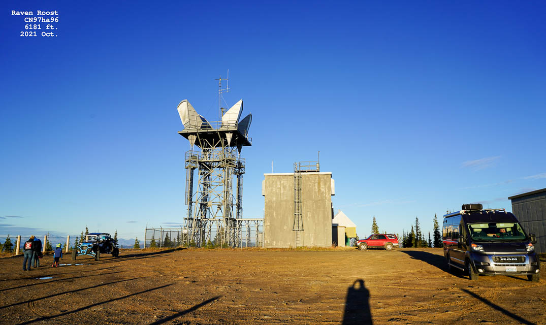
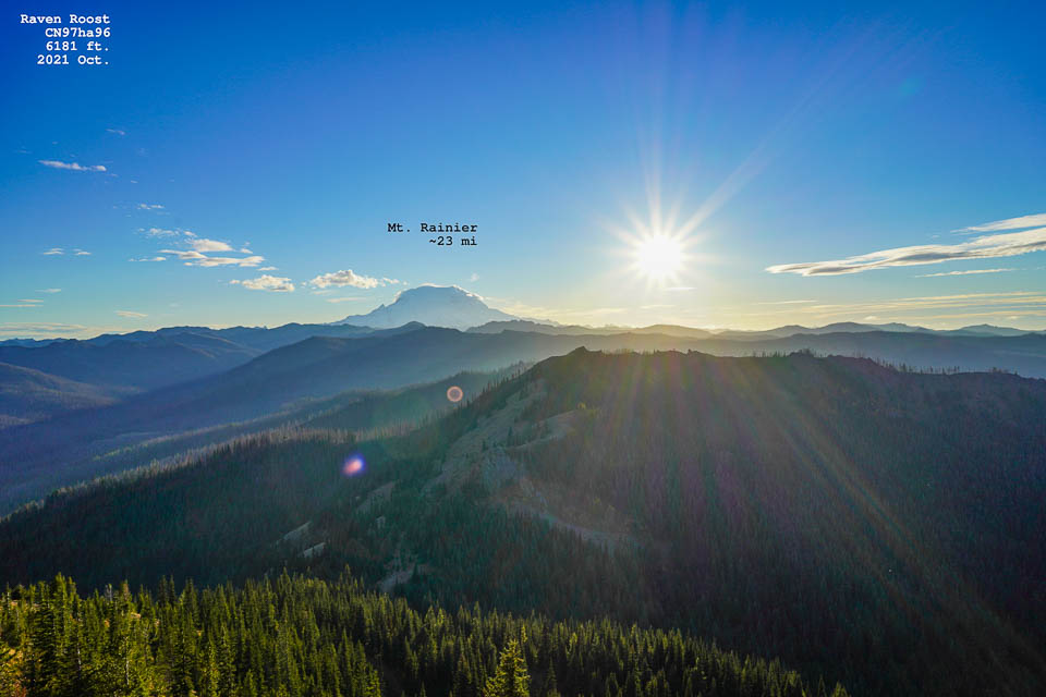
SOTA Summit W7W / MC-038
Easy drive up with any car in 2021. There is an old ATT Long Lines microwave site with some horns still up, but not operational. Someone told me a rumour on SSB that a HAM actually the owner of the site now. Should build a contest station there!
The car park is open to public. It has open microwave path into Yakima and Seattle, and it is right in between. There are two concrete buildings on top with a good size parking area. I used 144 MHz sideband from here with no RF noise.
- Peter AF7GL
Monroe Fairgrounds, CN97au08
| 47.868620, -121.994810 |
The Evergreen State Fairgrounds in Monroe is on the valley floor with hills within a mile or two in all directions. It's not all that good, but if you want a quick stop in CN97 it's just inside the grid line and easy access.
There is a campground on the south side, but "RV2" is seasonal and closed winters.
Restrictions: Be aware of the special event schedule that will completely fill parking lots. This is a busy place; there are small events every weekend.
Denny Ahl Hill, CN87ij76
| 47.401553, -123.268571 |
Denny Ahl Hill is easy to get to and has a great view over the south end of the Hood Canal and across to the Cascades. W7HR went there several times back in the 1970's. He pulled a small travel trailer up there once but has not been there since.
Driving directions: Located 2 miles from the south end of Lake Cushman on a heading of 236 deg.
Mt Octopus, CN77vr99
| 47.749936, -124.168709 |
The quickest high ground off of US 101 in CN77 puts you at nearly 2000 feet AMSL and was good enough for DNR to establish a communications site at the top.
Driving directions: The road to the com site is gated, but, just below the gate is a large filled-in area that is perfect for a large multi op station setup, or a rover with a 5th wheel to pull around in a big circle for turnaround.
Restrictions: The road up the side of the mountain is typical for DNR logging roads, well maintained, and not terribly steep or narrow.
Langley Hill, CN77wc57
| 47.115223, -124.117519 |
2021 K7BWH: Don't go. Gated off on Salal Drive and overgrown.
2006 KB7DQH: Approximately three miles East of Copalis Beach. Has good launch angle for most of the VHF/UHF bands, especially North and South for coastal tropo work. There are also good shots into Portland area and surprisingly good path into Eastern Washington. (N7AU was LOUD on 2 meters). Easy to spot the 300 foot high Nextel tower about 1/4 mile south of the road, and a naked 200 or so foot freestanding tower about 500 feet south of where I operated from. Both are lit at night.
Driving directions: Go east of Copalis Beach on Copalis Beach Road. Look for an uphill section.
- From Copalis Beach Road (Eastbound) turn South onto Elk Ridge Rd.
- Go left onto Salal Drive.
- At end of the pavement is a single lane gravel road directly ahead, and a GATE.
Griffiths-Priday SP, CN77vc87
| 47.114524, -124.177589 |
Griffiths-Priday is in a wide flat region with mountains far away which gives this place a good horizon. There's a big covered group picnic shelter about 100 yards from the parking lot, which would be the highest/best place to operate if you can carry your gear a little ways.
In Sept 2021, the park is poorly maintained, run down, and restrooms are dirty and full of graffiti.
Restrictions: No overnight. No camping.
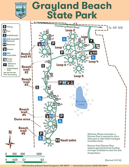
Grayland Beach SP, CN76ws89
| 46.791427, -124.092501 |
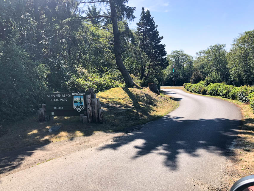
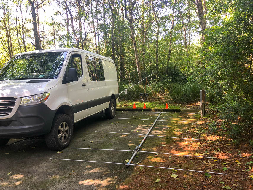

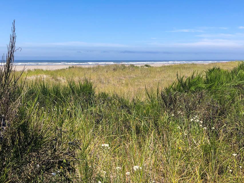
Grayland Beach State Park is about the most wonderful state campground I’ve seen. Clean, quiet, well-kept, and a short walk to an expansive spectacular beach. Every campsite is shielded by trees above and between guests. There are 104 campsites and 16 yurts.
I paid $45/night for a full hookup site #40 (photo). It felt luxurious to run all my gear from shore power for a change. Generators are not allowed in full hookup spots so some of my preparations were wasted, but there’s no way to know before the trip. I somehow managed to convince myself to not feel bad about the extra prep work.
I worked stations all the way up and down the coast from BC to San Diego. Propagation was poor this trip, possibly exacerbated by the lowland sea-level location and a 5-degree horizon to the east.
Driving directions: Take Hwy 12 toward Westport.
Turn left at Hwy 105 and go south.
Turn right on Cranberry Drive at the brown sign for the state park.
Twin Harbors SP, CN76wu65
| 46.856034, -124.108489 |
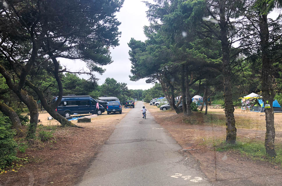
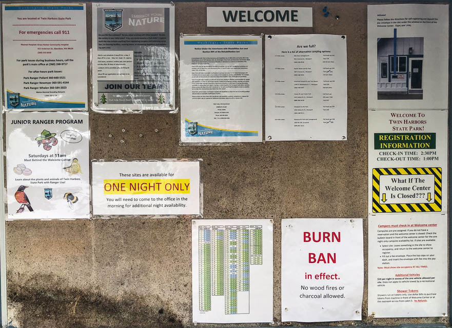
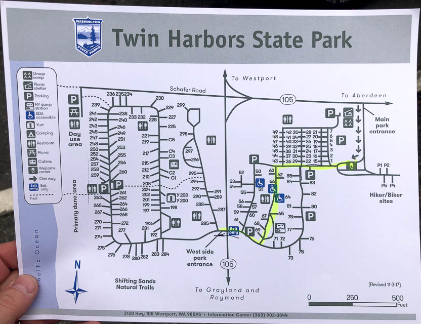
Twin Harbors State Park is a nice campground near the beach. However, there are fewer trees and the camp sites are more tightly packed than nearby Grayland Beach SP. It was overrun by families with young children when I visited in August 2021.
Big Hill, CN98sa03
| 48.015947, -120.492546 |
Here's another high spot near Lake Chelan. It needs scouting for VHF.
Big Hill is a trailhead + primitive campsite on the west side of Lake Chelan about 13 miles west and a little south of Fox Peak. Big Hill is in grid CN98sa while Fox Peak is in CN98vc. The drive may be up to an hour shorter from Seattle than the drive to Fox Peak.
I have never actually been to Big Hill but I’ve hiked in the general area a number of times. Big Hill is supposed to be really impressive in late September when the Larch trees turn golden.
USFS information: www.fs.usda.gov/recarea/okawen/recarea/?recid=81243
Tom KJ7BXA
Driving directions: From Entiat, WA travel south on US-97A for 1.2 miles.
Turn right (west) on Hwy 19 (Entiat River Road) and continue for 28.5 miles.
Then turn right on Forest Road 5900 (Shady Pass Road) and stay on 5900 for about 8 miles.
Turn left on Forest Spur Road 112 and travel about 3 miles to the end of road.
Restrictions: Big Hill is at 6800 ft so it may take longer to melt out than Fox Peak.
Wellington Park, CN87ws37
| 47.779428, -122.137471 |
At one time this was Wellington Hills Golf Course. It is right up the hill from the Woodinville Costco. A little research shows that it was owned by the UW for a potential location of the North campus and purchased by Snohomish County in 2012 as a potential park site. Community opposition to the county’s vision for the site caused them to abandon the plans and the site was sold to Northshore School District as a potential site for a new high school. The same objections to the park development have been raised about a high school, and NSD has not made any decisions about immediate development.
From an aerial view, you can see many large, nicely spaced trees. It would be interesting to find out if a horizontal loop could be raised there, or even a simple dipole.
With the rising slope to the south, this spot is better for HF than VHF.
Restrictions: Park along the busy street. No amenities.
Hart's Pass, CN98pr93
| 48.720834, -120.670139 |
Highest road in Washington State. This spot is a campground that gives access to the Pacific Coast Trail.
It's ideal for a few days of camping and hiking with amazing amazing stars at night. There's even a concrete pad for your small telescope setup.
Restrictions: The road is quite rough and you may see lots of other cars with blowouts.
Deer Park, CN87iw97
| 47.947384, -123.257141 |
Deer Park in the Olympic National Park offers a high altitude campground and trailheads to spectacular hiking.
Restrictions: 18 miles of unpaved roads, not suitable for RV or trailer.
Sauk Mtn Trailhead, CN98em75
| 48.521341, -121.607530 |
Sauk Mountain trailhead is along Hwy 20 just North of Rockport, and on the way to Winthrop, WA. It has a good view and nice roads and a big parking lot. Map views hint at a pit toilet in a tiny A-frame outhouse about 50' up the hiking trail.
You can hike the trail to the top for more excellent views. Maybe a light weight, 10Ghz backpack station would be fun to take along.
Jr Point Campground, CN97tx18
| 47.994271, -120.400694 |
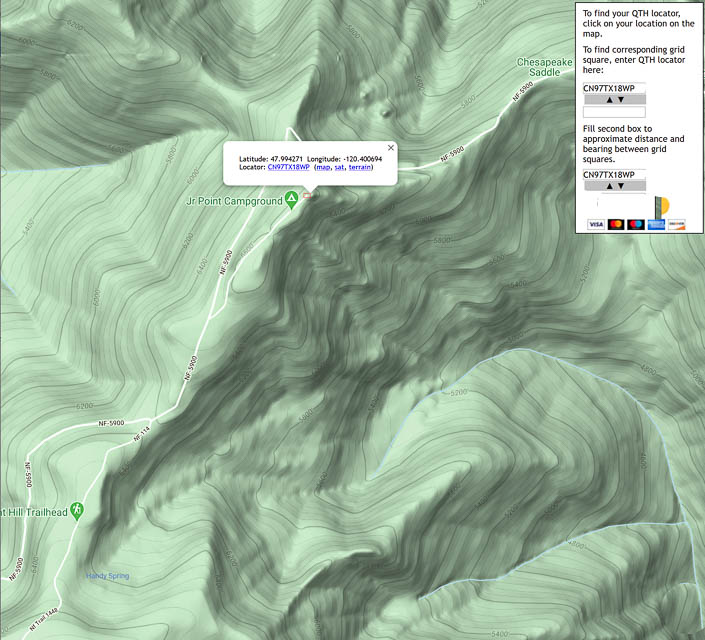
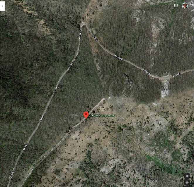
Jr Point Campground is on a treed ledge looking out over Lake Chelan with a great view up and down the lake. It has a concrete foundation for a former fire lookout tower. There is another small primitive campground at 4K feet heading up to Junior Pt.
Driving directions: On the road from 25mile State Park to Shady Pass. The top is often very muddy in June-July but the road up starting from the Lake side is usually good.
Lyman Hill, CN88wo20
| 48.585337, -122.147790 |
Lyman Hill is a high point in the Northern State Recreation Area an hour or two north of Seattle.
Don't rely on Garmin or Google navigation, neither one worked for me in January 2022. Garmin was wildly wrong and there was no road at all where it went. Google could not find a route.
The peak was logged off in the 1970s and trees are likely to be full grown since then. One of the forest road names suggest that it's owned by a pulp/paper company.
Restrictions: Don't rely on Garmin or Google navigation, neither one worked for me in January 2022.
Haller Pass, CN97eb24
| 47.061400, -121.649689 |

Haller Pass is a pull-off on the main (unpaved) road, about 8 miles in along the way to Strawberry Ridge (another 3 miles further south). This is the next ridge line to the west of Sun Top Lookout.
It is at a high point with an intersection of three smaller and short dead-end roads. We believe that one road, NF-310, gets you to a SOTA activation zone.
See the Topozone Map.
Huckleberry Ridge, CN97eb10
| 47.045730, -121.651414 |
Three miles west of Sun Top Lookout, near Haller Pass, is this wide-open football-field sized area that accomodates several vehicles at generous social-distancing range. It's a very good camping spot and has been used for Field Day several times. The unpaved forest roads were in very good condition in 2020. Any sedan or trailer-towing would have no problem.
It has a good view east and west, and low rises to north and south. To the SSW is Mt Rainer which can be used as a good microwave reflector for the Puget Sound area.
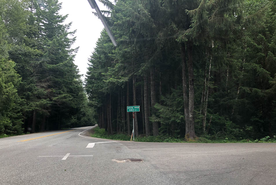
Driving directions: From Enumclaw head east on Hwy 410, the Chinook Pass road.
From the city of Greenwater (47.15599, -121.6548) continue east about three miles.
Right on FR 74 (Crystal River Ranch Rd)
Left at the fork in the road (toward FR 75),
Then take the second right (NF 75001) up the hill on the gravel road
Zero your odometer at this point and follow the most traveled road
At 3.3, 3.7, and 4.5 miles, ignore the roads to the left and up hill
At 8 miles, you will come to Haller Pass
At Haller Pass, scout the road to the left if interested in seeing the eastern horizon (150 yards or so).
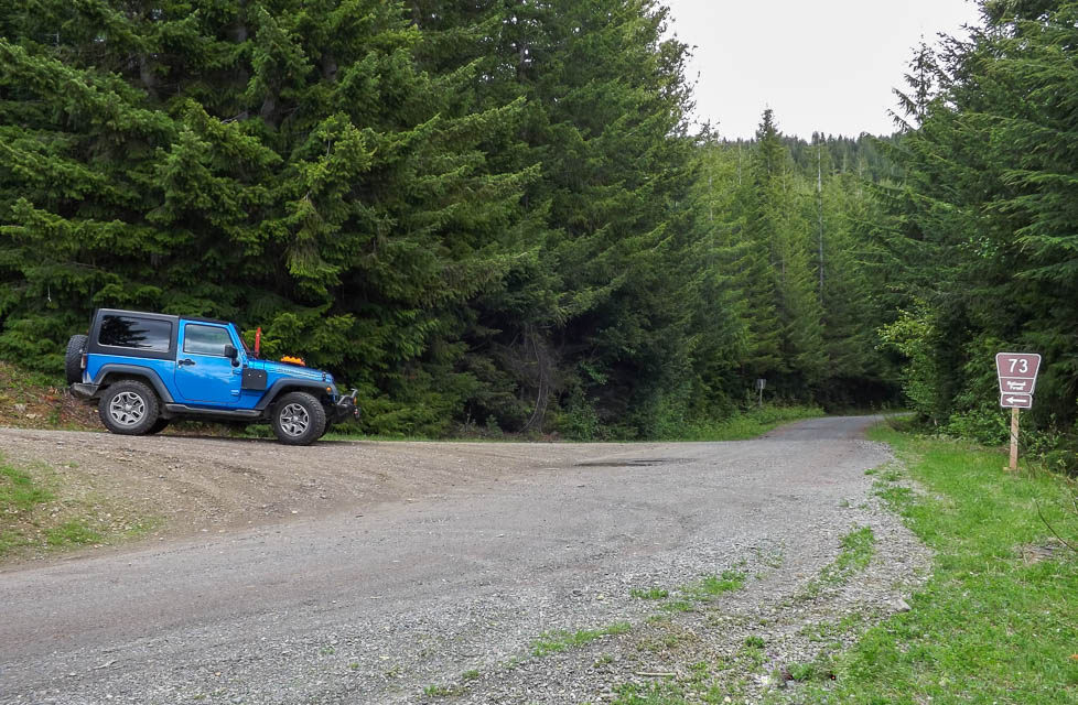
At 10.7 miles you will see the "FR 73" sign, at a sharp left uphill road... turn left!
There's a picture of Mihai's Jeep at the turn-off to FR 73
The next time you see any kind of a clearing, you have arrived at Huckleberry Ridge
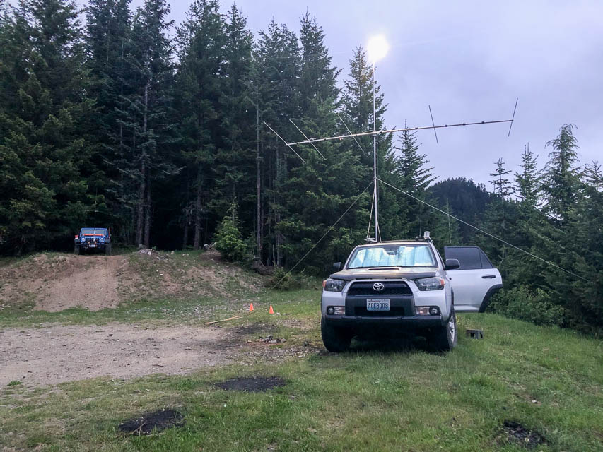
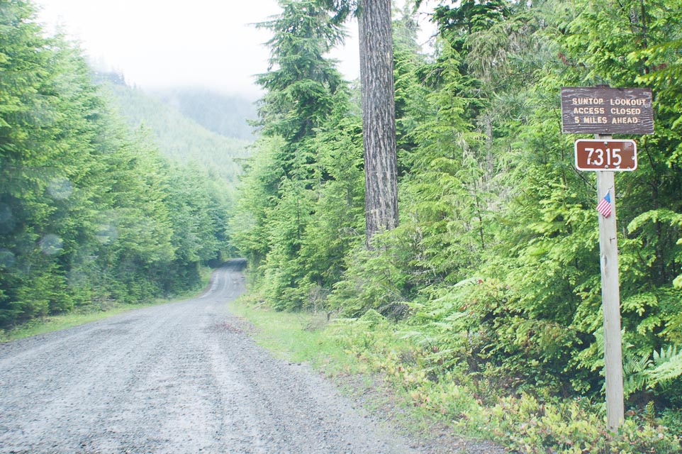
Sun Top Lookout, CN97ea89
| 47.041153, -121.596077 |
In the Mt Rainier National Park is a lofty lookout long used for forest fire spotting. It is now manned by volunteers and you can drive almost to the top at the 5,000' level. Visitors are welcomed at the lookout. This is a great spot to operate a portable radio or have a picnic.
Camping is not allowed, but could be done with a permit. Stopping or parking at Sun Top requires a Discover Pass; buy it in advance from a sporting goods store or other outlet.
There is an outhouse and picnic tables near the watch tower. Be careful of wildlife, as bears and deer are common.
Driving directions: Go east from Enumclaw on Highway 410
- Go south on Forest Road 73 about 1.4 miles
- Turn left onto Forest Service Road 7315 about five miles up a fairly steep dirt road
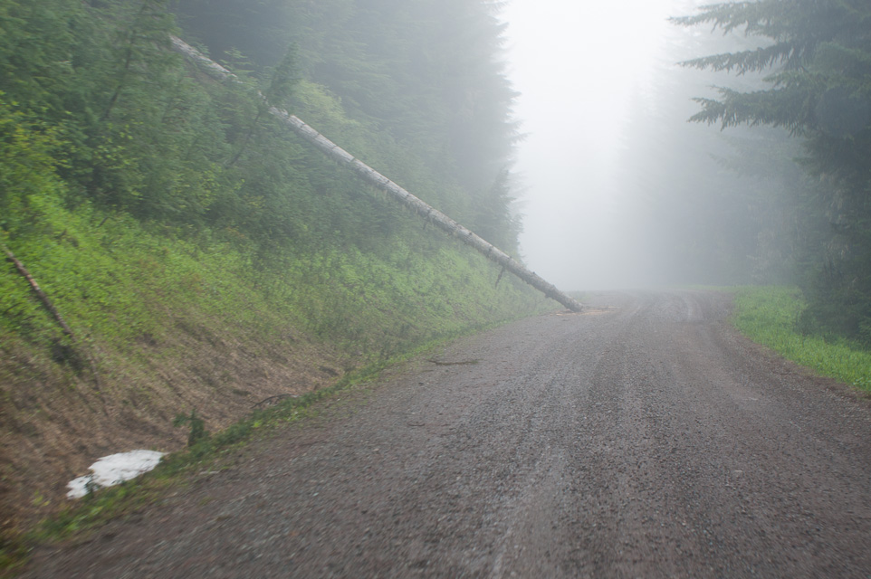
- Watch for road hazards; snow and fallen trees can happen year-round
- The road is closed one-half mile from the top, so be ready for a steep
climb. Unfortunately the parking area by that gate does not have good radio propagation.
Pacific Beach SP, CN77ve59
| 47.205276, -124.202165 |
Pacific Beach State Park is a year-round oceanfront camping park with electrical hookups and three restaurants nearby. See their website: Pacific Beach SP
Bill Ellis Park, CN76wx21
| 46.963715, -124.143750 |
Bill Ellis Park is a city park in CN76 with 24 parking spots, public restroom and east-facing horizon. It is probably busy in the summer but otherwise makes a good brief stopping point.
Restrictions: Ocean Shores CC
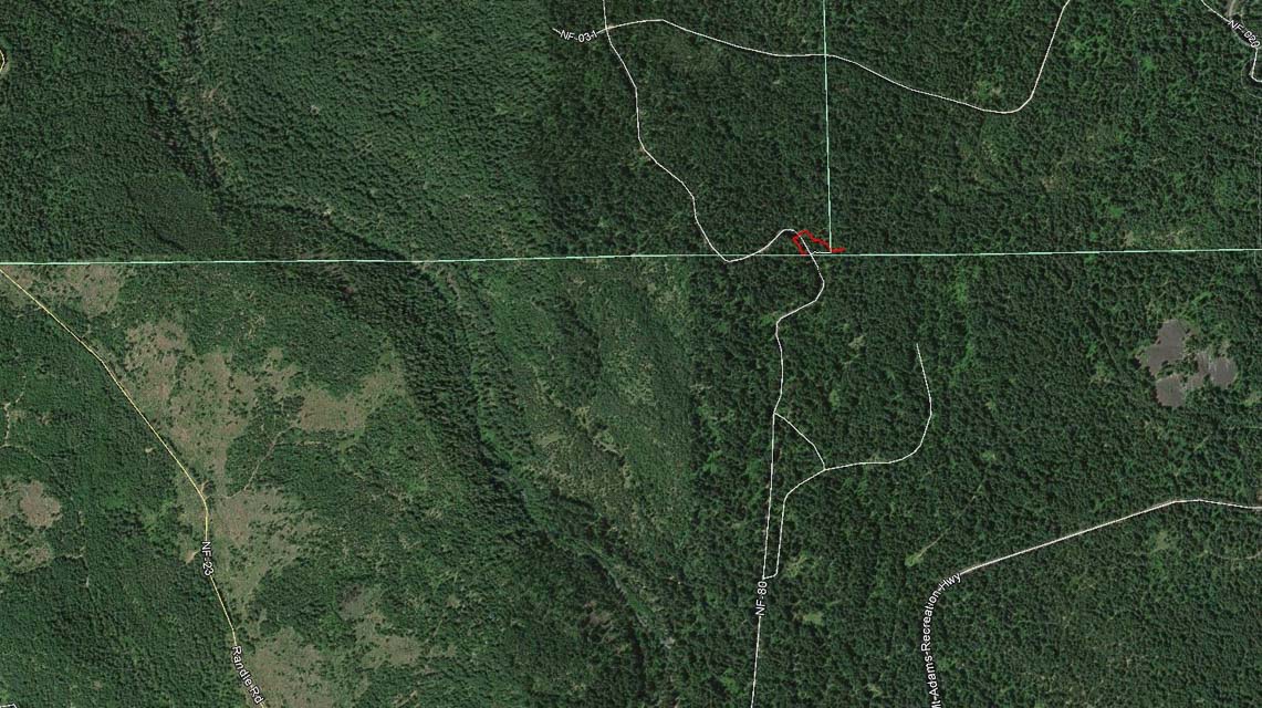
Fox Peak, CN98vc21
| 48.088932, -120.228847 |
Fox Peak is a little further along on Cooper Mtn Road, about 10 miles NW of Cooper Mtn. It offers a nice clearing with good horizons in most directions.
Needs more scouting.
Driving directions: The preferred route from Pateros is less precarious and in better condition than
from Cooper Gulch and the city of Chelan.
- Make your way to Pateros on Hwy 97
- Turn west at Pateros onto Methow Valley Hwy 153
- Turn south onto Black Canyon Creek road
- Stay on this road as it becomes Forest Service 4010
- Continue upward on NF-4010 until the tee intersection where you
turn right onto Cooper Mtn Road NF-3107
- Continue on Cooper Mtn ridge until you reach Fox Peak
Cooper Mtn, CN98wa92
| 48.011291, -120.083787 |
Cooper Mtn and Cooper Ridge are high above Lake Chelan on its east side, well above Echo Valley Ski Area. Satellite images suggest forest service roads to the topmost peak. No radio towers. Open horizon in all directions. Needs scouting.
This is very remote area, estimated over an hour from the city of Chelan, a popular resort and "second home" town.
Long Creek Rd, CN98tq40
| 48.667800, -120.379654 |
Long Creek Rd is an open spot near the eastern edge of CN98 on the side of Goat Mtn. Needs scouting. It's included here in case you're passing through on Hwy 20 and want a hilltop in CN98.
This appears to have good horizon in all directions except blocked toward NW. No campsite nearby.
Yahoo Lake, CN77xq72
| 47.676785, -124.019754 |
This is a nice campground nestled slightly in a cut. There are a few forest-service roads toward nearby hilltops that may also be of interest. For example, CN87aq45sp might promise a good open view toward the east. We don't care about the west horizon because from Forks westward there is nobody to talk to. There is likely room for a couple people to spread out by a half mile or so.
Driving directions: Take the Hoh Mainline Road
Make your way to "Upper Clearwater Campground"
Then try to find Yahoo Lake. This needs scouting.
In 2021, Barry K7BWH found the "road" from
CN77xp72 "Near Yahoo Lake" is overgrown and not viable.
Restrictions: Discover Pass required
Near Yahoo Lake, CN77xp56
| 47.651029, -124.037214 |
I ended up at this nice spot while searching for Yahoo Lake. There's lots of room for people to camp and any sedan or RV can make it up here.
It seems like a good place to operate but I guess nobody was on the air on 6m when I visited unannounced.
Driving directions: From Highway 101:
- 0.0 - Turn east on Clearwater Road
- 1.2 - Turn right onto NF-3000
- 6.5 - CN77vo: This is a big paved turnout, would be okay to camp or operate.
- 9.6 - "Swampie Welcome" sign and map. Keep right even though it descends.
- 10.8 - Bring a pruning saw and watch for low clearance and fallen trees.
- 13.0 - Keep right at Y to stay on NF-2525 (left is Q-3800).
- 14.8 - Large flat camping area at a sharp bend in the road.
- The road becomes soggy and overgrown beyond this point.
Restrictions: Discover Pass required
Driftwood RV Resort, CN77vc98
| 47.118660, -124.171050 |
This is a clean, staffed and very attractive RV resort in the touristy town of Copalis Beach near the beach and recreation activities. Best for large RV's that want big pull-through spots. All sites $55/night plus tax.
Driving directions:
3209 WA-109, Copalis Beach, WA 98535
Trout Lake, CN96fb70
| 46.044040, -121.524477 |
Trout Lake offers a three-county corner of Klickitat, Skamania and Yakima counties. These three rare counties make it attractive to contests like the 7QP and Salmon Run events.
The approximate location of the county boundary is in the link (the actual intersection is 250' to the east of the road). The rules for the 7QP allow the station location to be located anywhere within a 500' of the county intersection, which includes the forest road. There is a wide enough shoulder to pull off on the side of the road and operate from your rig if that is your preference.
On the ground, I found two survey markers. The first is a cattle gate and official entrance to the Gifford Pinchot National Forest, this is shown where the road crosses over the county line on the left. The second was a small stake in the ground that said "national forest property behind this stake" and this stake was located where the county line crossed the road on the right.
Huckleberry Access, CN96cc40
| 46.087079, -121.794011 |
Huckleberry Access is a parking area on a ridge in the Gifford-Pinchot National Forest. Needs scouting.
Peavine Ridge, CN96ke36
| 46.195707, -121.139463 |
Peavine Ridge Road needs scouting. It's a long road along a ridge that's east of Mt Adams, and it has a good drop-off from West to South to East.
Red Top Mtn, CN97oh82
| 47.301583, -120.760611 |
Red Top Mountain is near Teanaway Ridge, off Highway 97 north of Cle Elum. The lookout is staffed in summer.
Read more about Red Top at Summit Post and Peak Bagger and SOTA Red Top W7W/CW-061.
Restrictions: It doesn't look like vehicles can reach the lookout.
Larch Mtn, CN85ur41
| 45.716413, -122.295578 |
Larch Mtn is just east of Vancouver, WA. It was visited by Chris KG7OFQ in June 2015.
Restrictions: It can be busy. Chris got off the mountain in the nick of time as 100 people showed up to have a quick wedding.
Middle Chuckanut, CN88sp46
| 48.653977, -122.464879 |
Getting there is a real treat. Chuckanut Drive is the most scenic road in the Bellingham area. Narrow, winding 2-lane road with a rocky cliff looming overhead encroaching the roadway on one side, and a spectacular drop-off to ocean views on the other. Take your time, enjoy the drive.
Gated off after 20-minute crawl up the forest road at the turnoff to Fragrance Lake trail. I was unable to drive to the final parking area. If you can get there, it provides a nice shelf with open propagation in all directions except north.
Middle Chuckanut is in Larrabee State Park, between Frangrance Lake and Lost Lake.
Driving directions: From the turn-off to Hiline Drive, expect 20 minutes to the gate.
4wd is recommended for mud and slope in the first 1/4 mile.
Restrictions: Chuckanut Drive is not for the claustrophic (space), acrophobic (height),
vehophobic (driving), or thanatophobic (dying).
Larrabee Park has no camping, no overnight.
Keechelus Ridge, CN97ii33
| 47.347500, -121.307670 |
This is an excellent location with views in all directions. A large microwave tower occupies the central area and a rough but drivable road rings the installation.
Recommend to use a vehicle with good ground clearance as the dirt road is very rocky in places. The track from bottom top is 5.3 miles, 20 minutes and gains 3,260' of altitude.
Driving directions:
- I-90 exit 62 - "Stampede Pass, Kachess Lake"
- Turn north, follow paved road 1.7 miles
- Turn left on Forest Road 4934 opposite sign "Lodge Creek Estates"
- Go 4.4 miles to four-way intersection with FR 126 (unmarked)
- Turn right onto FR 126
- Go 0.3 miles, keep left at Y intersection with FR 122
- Follow roads that go up (not down) about 1 mile
Restrictions: A Discover Pass is required to use this spot. No services - bring your own water and supplies.
Belfair State Park, CN87nk43
| 47.430080, -122.875101 |
Nice state park with open water and low takeoff angles to the east.
Capitol Peak, CN86kx34
| 46.976564, -123.135004 |
Amabilis Mtn, CN97ig89
| 47.290688, -121.261538 |
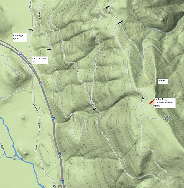
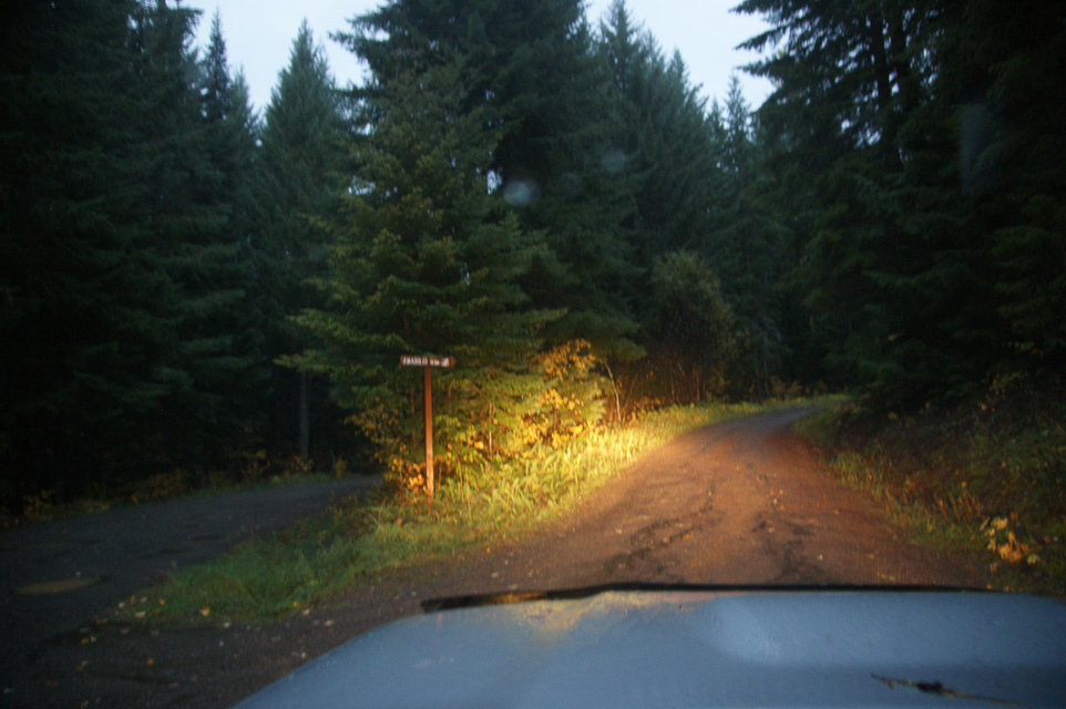
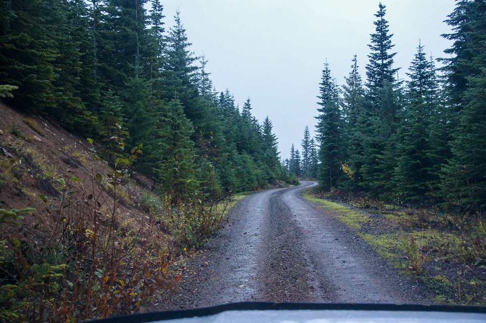
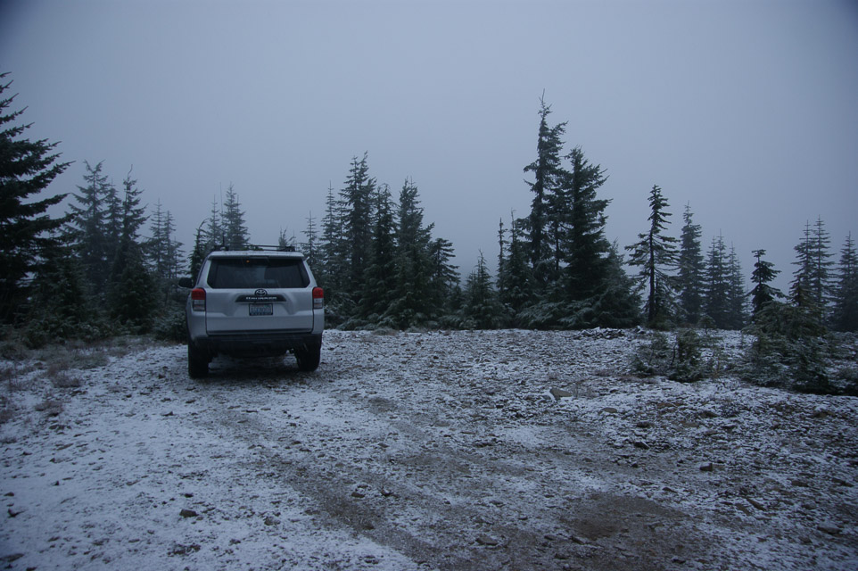
Amabillis is located off I-90 Exit 63 (Cabin Creek Road) on Snoqualmie Pass. See map with the proper forest roads to use to get there. This spot is suitable for car camping or with a little preparation you can set up a tent.
The operating site is old log landing just below the rocky spine of the mountain. The rocky spine is also a SOTA peak.
There are several similar landings on top of the ridge. It's worthwhile to explore. For example, there is a slightly better landing nearby at 47.28904/121.26044 at 4,354'. There is a better access road, bigger parking area, a tank trap, and better propagation to SE. It is an easy walk south about 100 yards from the landing shown here. But the travel choice depends on taking a right fork much further down the mountain, about 2 miles away.
Driving directions: Basically you take the first right up the hill signposted "Amabilis Mt". Take all the left forks and you should eventually find the landing on top. Allow at least 20 minutes to reach the top.
Easily passable by ordinary cars using reasonable care for rocks, potholes, fallen branches, blind corners, one-lane road, switchbacks and some big rain run-off trenches near the top. You know, the usual.
Restrictions: The site is subject is around 5K feet high and subject to bad weather and being "in the clouds".
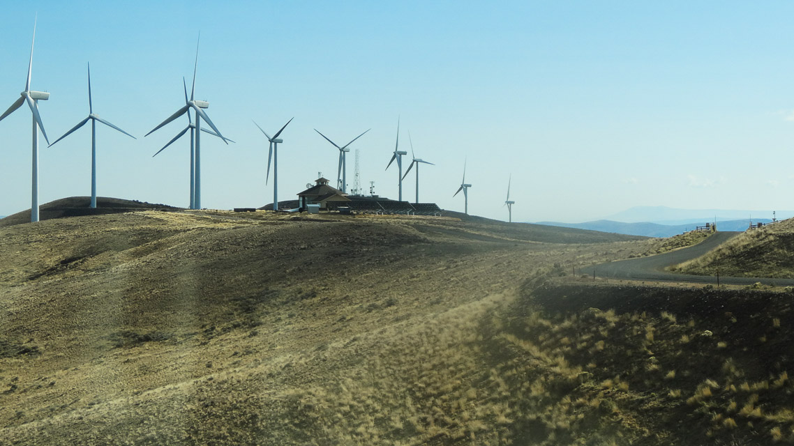
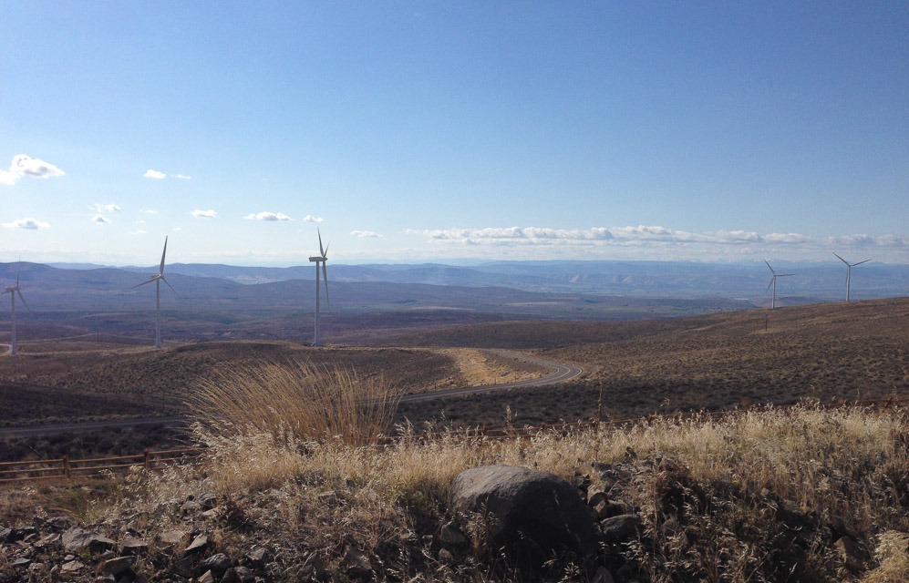
Wild Horse Wind Farm, CN97va52
| 47.011864, -120.200075 |
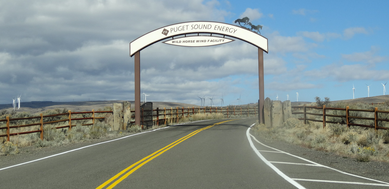
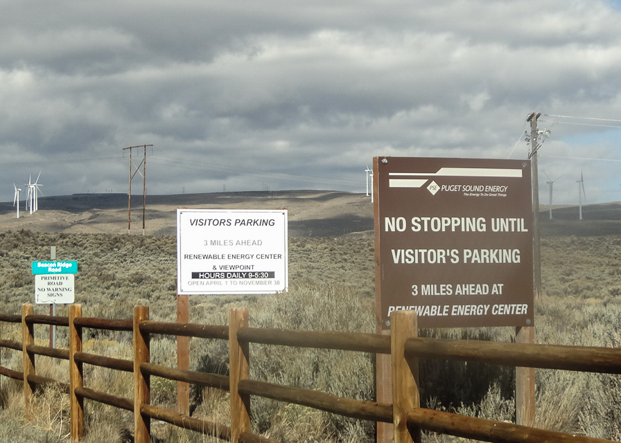
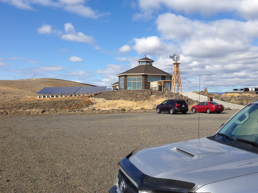
The Wild Horse Visitor's Center has excellent exposure east and west, with a good gravel parking lot.
Puget Sound Energy is friendly toward using the land for all sorts of recreation. Read more about the visitor center from Puget Sound Energy here.
The CN97-CN96 grid line is between the visitor's center and the front gate.
Driving directions: Excellent pavement all the way to the big gravel parking lot by the Visitors Center. This is probably the best operating spot, but gravel roads continue on for dozens of miles to the north. To reach any of the hills in this area you must exit I-90 in Ellensburg or Vantage.
Restrictions: Open from April 1 - November 30.
Visitor's Center building is open from 9 am to 5:30 pm daily, weather permitting.
Gates to road access are open from two hours before sunrise to two hours after sunset.
To get permission to walk the grounds,
complete the online application form.
Whiskey Dick, CN96wx62
| 46.967500, -120.116167 |
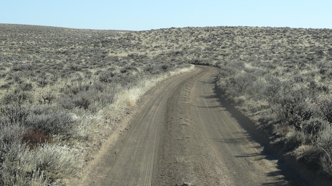
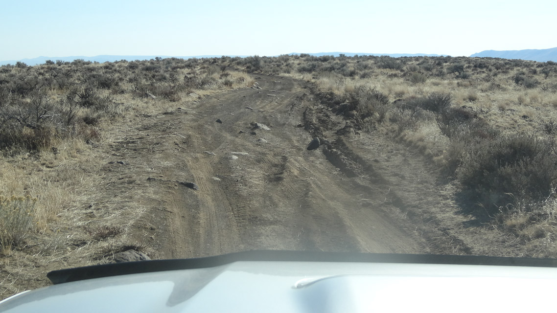
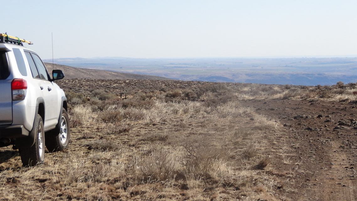
Whiskey Dick Mountain is in the south-eastern corner of CN97 with good altitude and good access from Ellensburg or Vantage. However, I haven't found a good clear spot to setup antennas, and the barely-adequate spot I did find is eight miles of rough slow terrain off from the highway.
Much more accessible nearby spots are:
- CN97va Wild Horse Renewable Energya visitor's center
- CN96vw I-90 Rye Grass rest stop.
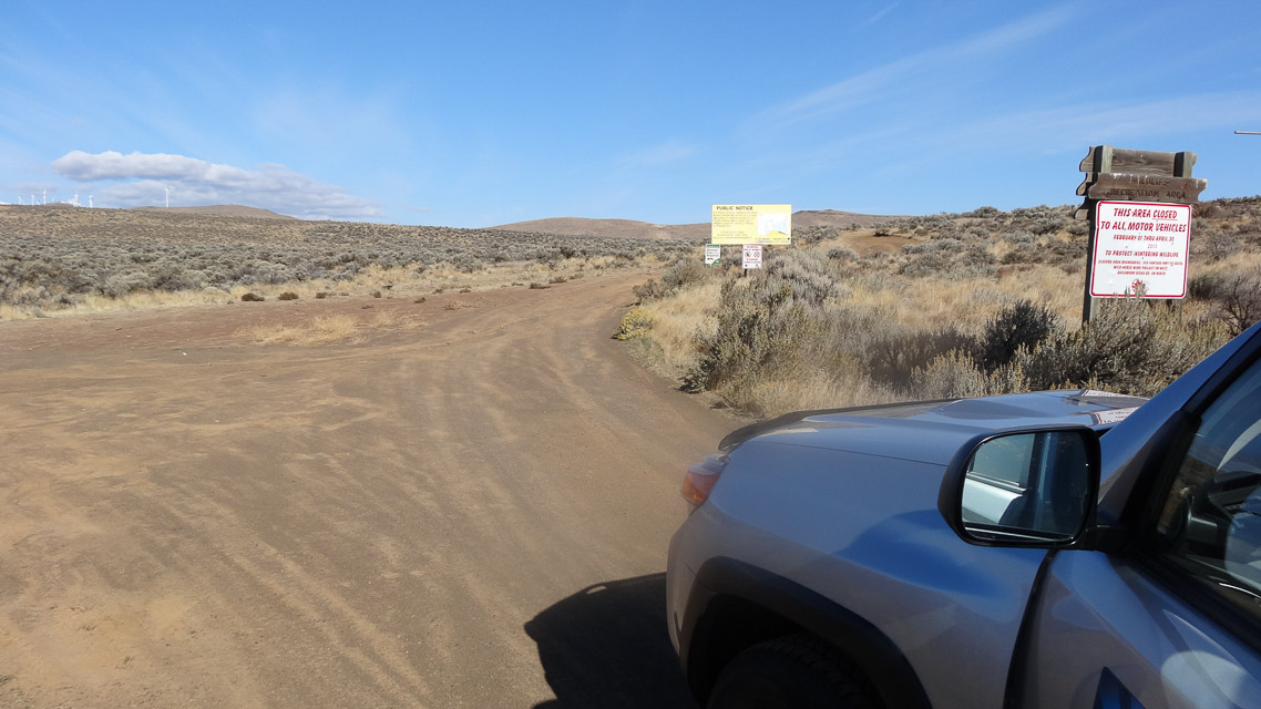
Restrictions: Closed February - April. No camping. Stay on "green dot" roads. Recommend 4wd.
Woodland Ridge Alternative, CN85ox95
| 45.979347, -122.753700 |
The Woodland Ridge location (at 900') is on a private road.
This spot provided excellent results into both the Portland and Seattle. A brief sporadic E opening netted QSOs into California and the South West U.S.
For the Jan 2013 VHF contest, I found this much higher spot on Green Mountain road. There is a gated dirt road that provides plenty of room.
Driving directions: The Google maps directions work fine. Nothing tricky.
Restrictions: This is a rural residential area, and the pull-over just off the paved road is probably a private (but gated) road. I had no issues for the ~2 hours I spent there.
Kings Lake Road, CN97at92
| 47.802288, -121.922900 |

This is a reasonably high CN97 spot near the NW margin of the grid, only 8 miles (20 minutes) from Duvall. It's 19 miles (40 minutes) from I-405 and 522.
The dirt road is a branch off of Kings Lake road. The Garmin GPS might mis-place Kings Lake road; continue on 0.2 miles to the proper signpost.
Someone sure made a mess of their campsite under the power line towers: trash, beer cans, shotgun shells, old rusted pickup truck, etc. No wonder so many of these places are gated or closed.
Driving directions: From the Monroe-Duvall road:
- Head East on Cherry Valley road.
- It becomes Lake Frontal Road.
- Just after Kayak Lake Road (on the right) turn left onto Kings Lake Road.
- After 0.2 miles, take the paved left fork in the road (signposted Camp Hamilton).
- Go about 0.4 miles to an area where you can pull over next to a private road.
Restrictions: There are high tension power lines within a half mile.
Ridge Near S. Prairie Creek, CN97ab65
| 47.064714, -121.948200 |
Spectacular and fairly accessible spot that overlooks much of the Puget Sound region.
Darryl WW7D: This is a great spot to hit after working out of CN86, CN96, and CN87 on Mowich Lake Road. The road is a little rough in spots, but is doable by a small passenger car.
Matt KC7OOY: In summer of 2021 we went up into this area for the June VHF contest, and found that NF-77102 was gated at 47.080444, -121.958167. Not sure if it is a seasonal closure, so just be aware of the possibility.
Driving directions: From Wilkeson, turn East on Railroad Ave.
- From this point, you are 9 miles from your destination and it will take about 30 minutes to get there.
- Turn right onto Snell Lake road.
- At the end of the road, turn right onto S Prarie Creek road.
- This becomes NF-7710.
- After 3 miles, the road forks into NF-7720 (left) and NF-7710-2 (right).
- Take the right fork and follow it another 4.4 miles.
- You will be a bit over 3,000' high with a peak to your right.
- Look for a small road on the right (NF-410) that heads uphill.
- Take that road to a small flat clearing with a fire pit in the middle.
Lime Kiln Trailhead, CN98ab88
| 48.077457, -121.932600 |
This spot is a gravel parking lot for the Lime Kiln Trail.
Fair propagation to the North West, West and South. This spot works better than nearby Mountain Way Elementary School, probably because it is 200' higher. I first used this spot in the Jan 2013 contest.
During good weather it may be difficult to find an open and level spot due to crowding. It seems to be a very popular hiking spot. I visited this spot briefly in 2011, but the level parts of the parking lot were filled with cars. So, I went to nearby Mountain Way Elementary instead.
Driving directions: Google Maps's directions to Lime Kiln Trailhead are clear and easy to follow.
Restrictions: This is a Snohomish County park. No permit is required. Hours may be limited.
I-5 Toutle River SB, CN86ni14
| 46.352082, -122.907175 |
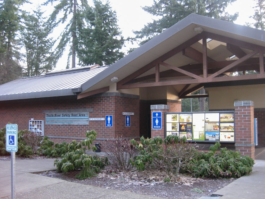
I-5 southbound milepost 54 rest area is a local high spot. The far end is probably the highest but don't expect too much with all these trees.
Shell I-5, CN85pu54
| 45.852896, -122.701267 |
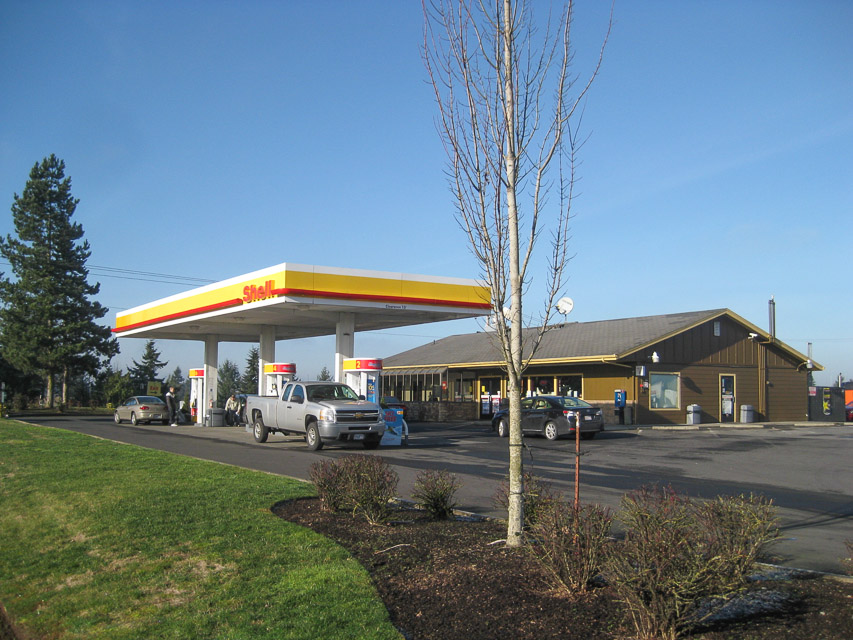
This truck stop offers instant access from I-5, along with food, gas and a rest area. It is clean and well-maintained.
This is a local high spot along the freeway. It has a good view of Mt Rainier from the back parking area.
If you want to avoid Oregon's full-service gas stations, this is a very convenient fill-up spot in CN85 near the state border before leaving Washington.
Driving directions: I-5 exit 16
- Shell station is on the east side of the freeway
- NW Paradise Park Rd and NW La Center Rd
Mt Erie, CN88qk49
| 48.454193, -122.625230 |
Mount Erie is the highest point on Fidalgo Island, at 1,273 feet. (See wikipedia.) Mount Baker is 43 miles to the northeast and can easily be seen from Mount Erie. On a clear day, Mount Rainier can be seen in the southeast, approximately 117 miles distant. Mount Erie is an Anacortes City Park and the summit is accessible via a single-lane, paved road from the base.
The hilltop hosts three large towers with a number of commercial and Coast Guard VHF+ transmitters, and the parking lot is surrounded by trees. It might not be good for really weak signal or microwave work, but Barry had no interference on 144 MHz unless he pointed directly north at the towers.
Driving directions: From I-5 take Exit 230 for WA-20 toward Anacortes
- Drive about 12 miles
- Turn left at a light onto WA-20 south
- Drive 1.8 miles
- Turn right onto Cambell Lake Rd
- Look for a quaint "Lake Erie Grocery" and keep right at the fork
- Drive 1.4 miles
- Slight right onto Ray Auld Dr with signpost "Mt Erie Viewpoint"
- Follow one-lane paved road 1.6 miles to top
Restrictions: One-lane road has lots of large overhanging tree branches
- Good clearance for sedans and SUVs but will snag tall antennas
- Road is not maintained for winter travel
- No restroom facilities on top
- Various signs announce "open 7am to 10pm" and "open 6am to 10pm" and "open 5am to 10pm".
Barry was there at 7am on Sunday and thinks they never close the gate, but who knows.
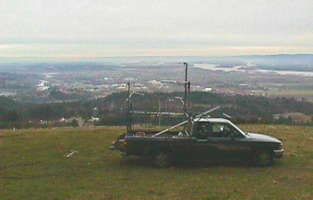
Mt Anderson, CN88up90
| 48.628333, -122.256667 |
Mountaintop location north of Sedro Wooley. Between Hwy 9 and I-5 Northwest of Lyman Hill.
You can't drive all the way to the top but there are a couple good turnouts in the last half mile to park and operate. I like this wide area on a sweeping curve at CN88up90 at 3,007' altitude for its southern exposure, shown in last two images above.
Driving directions:
Access is via Old Hwy 99 1-1/2 miles south of Alger.
- From I-5 northbound take Exit 236 "Bow Hill Road", drive east 0.7 mi
- Turn left onto old Hwy 99, drive north 2.6 mi
- Turn right onto Parson Creek Rd, drive east 1 mi
- Turn left onto Skaarup Road, drive north 0.2 mi
- Continue straight where the road name changes to Alger Mt Rd Pvt
- Road changes to dirt "open" access road
- Drive 8 miles up mountain to the end; road ends within 300-400 ft from the top
Restrictions:
- Discover Pass required.
- On Nov 4, 2012, the road is maintained in good condition.
- The final section of road has been blocked with bunkers.
- In winter conditions be prepared. On Nov 4, the road was soft from
rain, and trees can fall anytime.
- On Jan 16, 2022, it was gated off at the bottom and signposted
"no motor vehicles" for the winter.
Chelan Butte, CN97xt53
| 47.807217, -120.034611 |
In CN97 on Chelan Butte to start the contest. Great views of eastern Washington shared with the local hang gliders that fly into the Columbia River Basin below. View is south towards I-90 mountain pass corridor with Seattle over the mountains to the right more. Microwave towers are located on another rise not far off but far enough away to cause no problems.
Mountain Way ES, CN98ac31
| 48.088787, -121.970120 |
WW7D: I've worked from the Mountain Way Elementary School parking lot a number of times, and it works fairly well. It's at 400'--a little higher than the high school. In JanVHFTest, I spent 1.5 hours there and got (10) 6m, (16) 2m, (2) 1.25cm and (6) 70cm QSOs. In JunVHFTest, I spent a little over 30 minutes in the grid and had (10) 6m, (8) 2m, (2) 1.25m and (4) 70cm QSOs. There are definitely some blind spots from the location. I've always worked out of the north parking lot (not sure why); the south lot may work better. Location: 48.088871, -121.969944
Darrington, CN98fg84
| 48.268481, -121.510834 |
There is a ridge up in the hills high above Darrington with an open exposure east but disappointing propagation in all directions. It's not quite high enough that your signals will clear nearby ridges. Maybe it'd work okay with meteor scatter but otherwise don't bother with this spot.
The drive up here is on good roads and spectacular Pacific Northwest surroundings. This has got to be one of the most enjoyable mountain drives I've ever driven.
Restrictions: Snow is likely to last into July.
Darrington2, CN98gj61
| 48.380874, -121.448487 |
Up in the hills above Darrington are some promising unpaved roads on mountains. This spot is a trailhead parking area with open horizon in all directions except NW.
Needs scouting.
Restrictions: Good 4WD is required for steep roads.
Sunnyside Overlook, CN96xd80
| 46.128833, -120.009667 |
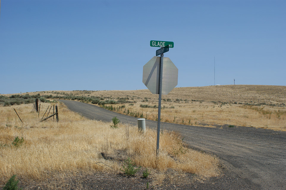
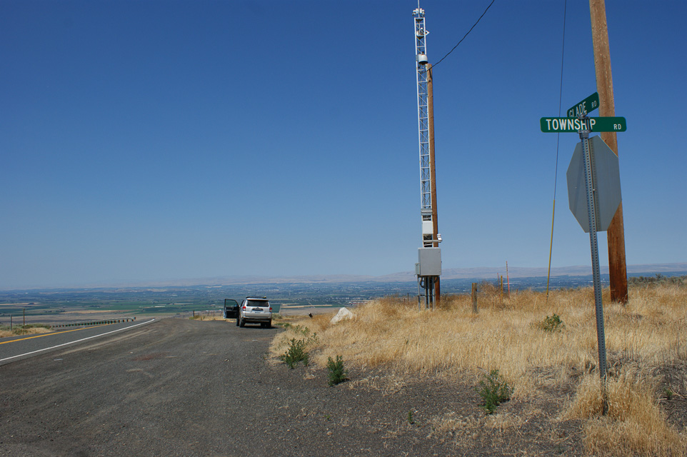

There's a nice hilltop and overlook on Glade Road just south of Sunnyside, WA. This would make a great spot near the CN96-DN06 grid line to work all of Yakima valley and Richland metro centers.
You can drive east one from here on Township Road and quickly access DN06 in one half mile.
Driving directions: From Sunnyside, drive south on Mabton Road (Highway 241).
- The road name changes to Mabton-Bickleton Road.
- The name changes again to Glade Road and winds its way up a hill.
- Near the top, look for the intersection of Glade and Township roads.
- There is a drop-down snow gate where you can pull off with a view.
Mt Pilchuck Trailhead, CN98cb27
| 48.071081, -121.813781 |
This site is pretty bad. It's a large parking lot for a trailhead near the top of Mt Pilchuck. The road has extremely bad potholes in 2020 and it's very slow going, but 2WD sedans drive it all of the time. It's a popular destination for hikers; expect a lot of traffic.
Wooded and hilly area. Good horizon to N and NW. Practically no exposure any other directions. I recommend against this spot; it's really hard on your vehicle for no good horizon anywhere.
Has a vault toilet and Verizon had two bars signal.
Driving directions: Through Granite Falls on Stanley Street
- Go east on Mountain Loop Highway
- Drive approximately 11 miles to Verlot and then cross a big steel bridge
- Just past bridge, look for "Mt Pilchuck" access sign and turn right
- Follow main forest road 6 miles to turnoff to the parking lot
- http://www.topozone.com/map.asp?z=10&n=5323190&e=589544
Mt Pilchuck Landing, CN98bb96
| 48.069167, -121.838056 |
Logging landing on west side of mountain. Excellent exposure to N, S, and W. Blocked on East by the remainder of Mt Pilchuck. This is a premier operating location with excellent paths to the north, west, and south. 15 miles east of Granite Falls.
It would be very rough for low slung autos to make it in since the ruts and low areas and rocky pools can be bad. Two-wheel drive pickups will have less problem.
There is ample room to camp and set up, though you can expect frequent traffic through the area.
10/2003 update. People have been burning pallet boards at the landing, and there is an incredible quantity of nails in the dirt on the uphill side of the road. These nails have been burned and are rusty, so they are hard to see. Look before you drive off the road, and check your spare tire before departure!
11/2012 update. This is still an outstanding location with line-of-sight access to most of Puget Sound, and magical ducting into Oregon. The trees are beginning to come back and are now about head height; it will be just a few more years until they start blocking microwave paths. Another good reason to bring saws and pruners.
Driving directions: Go through Granite Falls on Stanley Street.
- Go east on the Mountain Loop Highway.
- Watch your speed through the 35 mph zones in towns - police patrol this area regularly.
- Drive 12 miles to Verlot and the big steel bridge. The milepost is just past the bridge.
- Look for "Mt. Pilchuck" access sign on left just past bridge.
- Turn right up the hill here![]()
- At 1.4 miles is a gate here![]() If closed, try nearby Green Mountain instead.
If closed, try nearby Green Mountain instead.
- At 4.8 miles turn right off the main road here![]() No road marker but the maps say NF4240.
No road marker but the maps say NF4240.
- At 5.1 miles is a very big nasty puddle here![]() Walk it and clear obstacles, keep right.
Walk it and clear obstacles, keep right.
- At 5.5 miles turn right to go downhill here![]() The left goes through a gully by a rock, that's not the way.
The left goes through a gully by a rock, that's not the way.
- At 5.7 miles is the landing, park here![]()
Restrictions:
- Bring chain saw, shovel and pruners. Shrubs encroach and trees fall on the unmaintained side road.
- If you are flying rover antennas you should also bring a pole pruner.
- Turn your headlights on because of the narrow road and limited visibility.
- No cellphone service.
Green Mtn, CN98bd92
| 48.136900, -121.835300 |
This is a mountaintop north of Mt Pilchuck and ENE of Granite Falls.
Driving directions:
Take Hwy 92 east of Granite Falls, to Robe (a spot on the map at best). On the left will be two tall power poles with transformer platform, and one of them has a white fixed wireless vertical antenna. Turn left after these poles. There are two roads, one 90 degrees from Highway 92, the other veering off to the left. Take this road. It is paved up to a fork in the road. Take the right gravel road up the mountain. It will wind around, with some spurs you might be tempted to turn onto, do not. The main traveled road is the most worn, and in 2006 you would have to cross a slight gravel berm to leave the main road. The main road is not overgrown, and has plenty of clearance for antennas. The sides are likely overgrown, so you will know if you took a wrong turn.
At the 2900 ft level you will come upon a 90 degree turn to the east and will have a great view. This is the best stop and is the most western high spot on the mountain. There is room to turn around here and park on the side. It is far enough west of Mt Pilchuck to afford a clear shot of Mt Rainier and CN97 stations. No coverage to the east from here, just rock, so plan for that when the evening 6-meter openings come in the summer. It is about a 18 minute run, the road has been in very good shape, much better than Mt Pilchuck's road, and is quicker access and higher also. Lots of shooters come here to the lower elevations.
Going further takes you along the north side of the upper ridge for maybe 6 miles before you cross over to the south side of the saddle where it is very open view east, south, and west. North and NW will be obstructed, and Mt Pilchuck will obstruct the view straight south. CN97 stations are tough from here.
Restrictions: Take along a saw in case a tree falls across the road, you might be the first to deal with it.
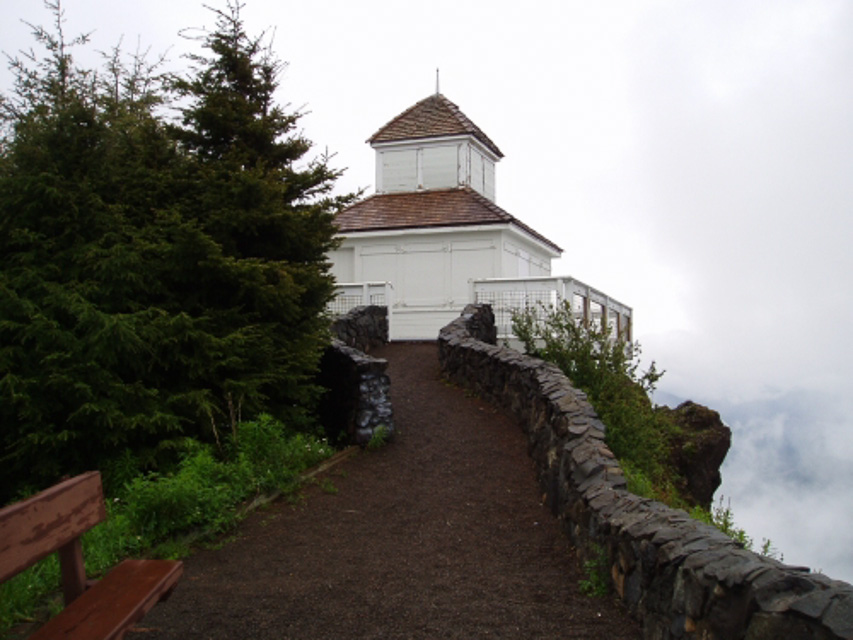
Slate Peak, CN98pr87
| 48.741474, -120.680780 |
Forest Service Lookout west of Goat Peak lookout and northwest of Mazama off Highway 20.
This location is car drivable after July 4 most years to 7300 ft. The road to the lookout is gated, but it is a short hike to the station. This site was a radar site at one time. Radio Mobile shows that it should provide good signals to nearly every major population center as far south as Portland.
3/16/2009 update from K7CW. I researched getting permission to operate from Slate Peak for a June VHF contest a few years ago. The district ranger sounded amenable to letting us do it, but he referred me to the radio tech who maintains the repeaters. The tech told me that tests would have to be run to determine if there would be interference problems. He said that he doubted that permission would be granted. I took that as an indication to not bother him further.
Slate Peak is a pretty good location, except for the climb past the gate. But, if you can get them to give you a key, there is a lot of room at the top - enough to set up several stations.
The road to the summit is the highest public road in the State of Washington.
Driving directions: West of Goat peak lookout (7000ft) and NW of Mazama off Hwy 20.
Snoqualmie Ridge, CN97bm48
| 47.534317, -121.879333 |
Subdivision under construction. North of I-90 and Highway 18 intersection.
This site is about five minutes from the I-90/Highway 18 intersection. It has good VHF exposure to the north, south, and east, but is marginal above 432. It is a good idea to take compass headings from this location because I-90 runs NW/SW and is a poor reference point.
Driving directions: From I-90 take Snoqualmie Ridge exit
- Go north approximately two miles
- From Highway 18, cross I-90 and go north approximately two miles
- This area is under constant construction
- You may have to wander around a bit to find a good operating site
- One of the better sites is an open lot under the power lines near the
central part of the business area
High Rock Road, CN97at62
| 47.800000, -121.950000 |
This is a logging landing on Highway 203 between Preston and Monroe.
The entrance is gated, but someone lives further down the road, so it will likely be open. There are high tension lines about 150 yards south, but they did not give Lynn any trouble during the June 2001 contest. This site had an excellent path to the west and north.
There are two roadside locations just before you get to this site, so if the gate is closed, try one.
Driving directions: From Highway 203 south of Monroe go up Cherry Valley Road approximately 1 mile.
- Start looking for pull-offs just past the intersection with High Rock Road.
I-90 Indian John, CN97nd88
| 47.161280, -120.848660 |
Indian John Rest Area. I-90 eastbound and westbound, mile 89. Good exposure east west and north. Ridge approx 1 mile south blocking UHF.
Tronson Ridge, CN97rj04
| 47.393500, -120.577500 |
This is a mountain top ridge near Blewett Pass. There is a great shot both east and west. The north view is a little blocked by dirt, but south is pretty clear.
Driving directions: I-90 East, exit 85 near Cle Elum
- Follow US 97 over Blewett Pass
- Five miles from the summit take Forest Service road FS 7224. (marked as "5 Mill Road")
- Follow the road about 3.2 miles, avoid all side roads and you pop out at the top of the ridge
Restrictions: Requires 4x4.
Mt Rainier Summit, CN96cu84
| 46.852737, -121.760616 |
This site is on top of a large mountain. It has excellent signal paths in all directions.
Driving directions: Take state highway 706 through Ashford to the Visitors Center. Park car, walk up hill.
Restrictions: Bring oxygen.
Rainout Ridge, CN96aw68
| 46.950700, -121.948900 |
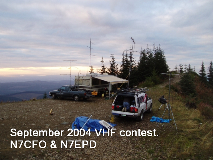
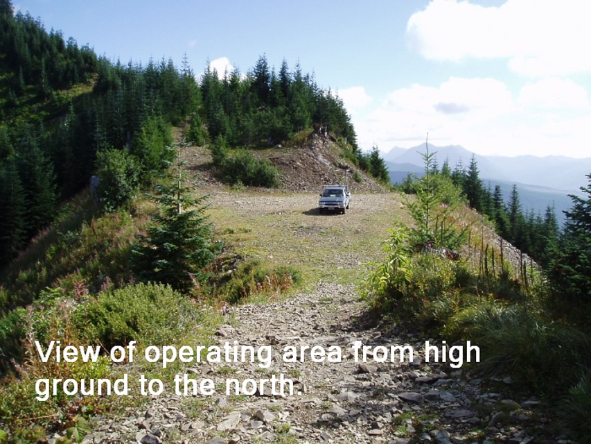
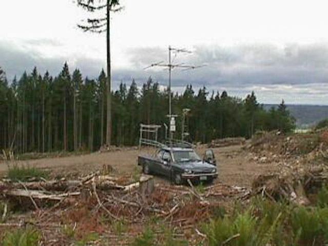
This is an excellent operating location, though the weather fronts hit very fast and violently. Lynn operated the 2004 June and September VHF contests from this location and had wild weather both times. It was not hard to get to, but it looks hard on the map. I have pulled a small 5th wheel trailer in there twice, and KB7DQH got his bus in there - it is a steady climb all the way from Highway 165, but not particularly steep.
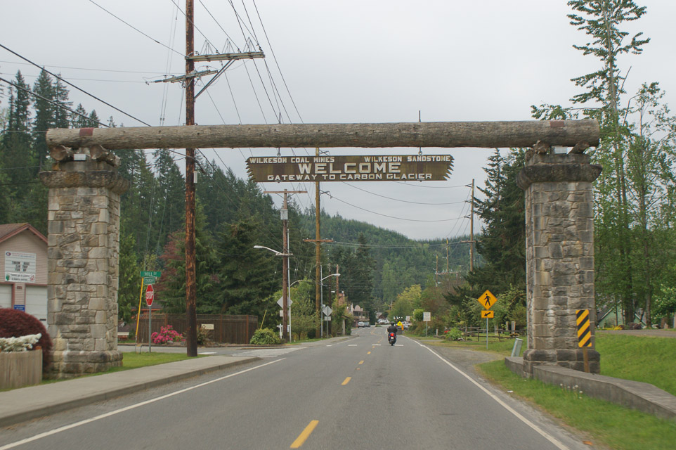
This location provides excellent VHF and UHF paths to the entire Puget Sound area, and easily reaches down into Oregon on UHF. Use of this area requires a NW forest pass which can be bought in Wilkeson at the general store. Further info is at http://www.fs.fed.us/r6/feedemo/nwfp.shtml.
If you plan to spend the night be prepared for some rough weather. The ridge is on hard rock, and it would be impossible to pound tent pegs into the ground, so you might take buckets to fill with rocks. I strongly recommend a scouting trip before you go up there for a contest.
This location is located in an Off-Road vehicle area, so expect lots of traffic. Most of the 4 wheelers are good folks, but I have seen some real morons crashing around in a highly dangerous manner, so be careful on the roads.
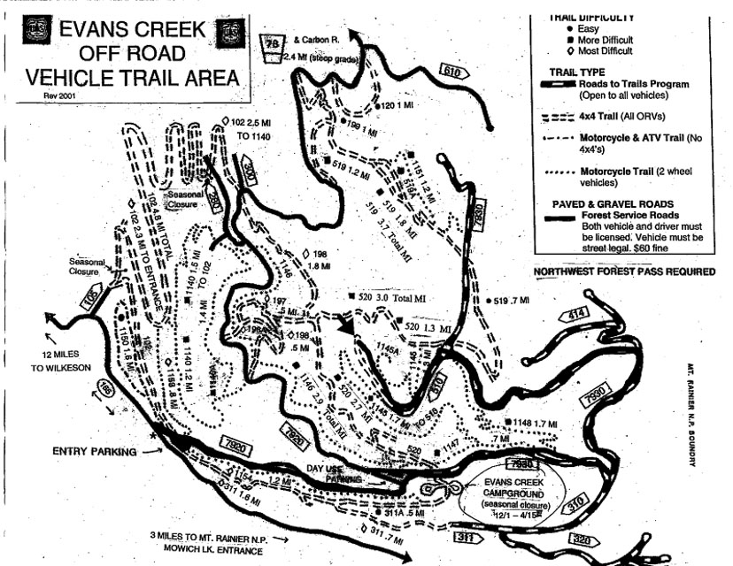
Driving directions: Go through Wilkeson, then 14 miles on Highway 165 to Evans Creek ORV area.
- (Exactly 13.9 miles from the "Historical Site: Wilkeson Elementary School" sign)
- Go through the ORV parking lot and then drive to the "Y" and go right.
- On your left will be a parking lot with a bathroom.
- Just past the "Y" you'll pass the entry to the Evans Creek campground.
- Continue up the hill per the following map to the area marked with the arrow.
- There are 3 major intersections from the Evans Creek campground, take a left at each of them.
- At the second intersection, there is a road marking just past the intersection labeled FS 7930.
- You can obtain a better copy of the map from the map board in the parking area.
- The entire grade is on rock road and traction is good but there may be some washouts.
Restrictions: September 14, 2008. Per KD7TS the upper road to the ridge was closed with tank traps. This is likely a permanent closure.
Little Mtn, CN88uj25
| 48.397200, -122.309200 |
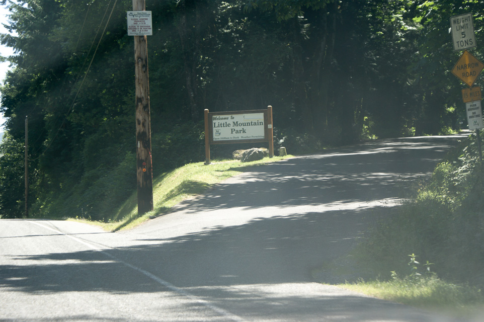

This site is a jewel of a public park at a scenic overlook on top of a small mountain. It is about ten minutes off I-5 on paved roads.
The best exposure is to the south and southwest. There is a sloping parking lot. Be careful of overhead power lines. There are restrooms and an observation deck with spectacular views.
N4SL and WB7FJG set up a portable station up through 432 in front of the observation deck during the June 2001 contest and reported excellent results.
K7BWH visited in July 2012 and January 2022, and worked 1296 on an HT all around a considerable line-of-sight distance.
Driving directions: Northbound on I-5 take exit 225, south of Mt Vernon and just past a heavy crane display.
- Turn right (east) from the exit ramp onto Cedardale Road and immediately turn left (north).
- Go about 0.5 miles to Blackburn and turn right.
- Go east on Blackburn 1.1 miles and turn right onto Little Mt Road.
- Go up hill 0.3 miles and watch for "Little Mountain Park" sign on right. Turn at the sign.
- Proceed 1.3 miles on narrow paved road to the parking lot at the peak.
- Note: Most GPS devices think the road ends at the bottom gate.
Restrictions:
Park hours are 10 a.m. to dusk.
This is a popular local attraction, so expect lots of traffic.
Do not bring extended-length vehicle; a 144" wheelbase Sprinter van is
almost too big to fit into a parking space.
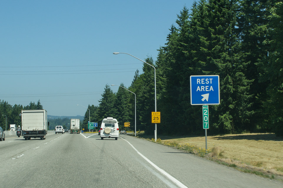
I-5 Smokey Point, CN88ve70
| 48.169570, -122.188900 |
This is a rest stop on I-5 northbound north of Everett. It is on slightly high ground, and offers OK paths in all directions. Lynn N7CFO has used it for quick VHF and UHF operation with good success.
A famous and historic Western Red Cedar stump is on display, as evidence of the giant trees which once forested the area. Over 20 feet in diameter and 200 feet tall, the tree is believed to have been more than 1,000 years old. It's large enough to drive a car through.
Keep an eye on the sky. This is close to the Arlington Airport and you may see unusual experimental aircraft overhead.
Driving directions: On northbound I-5 milepost 207, a mile past where the speed limit changes to 70, take exit into rest stop.
You have three choices as you enter the fork into Smokey Point:
- Left for RVs (recommended) will give you extra space from passersby and the trees
- Middle for commercial trucks
- Right for passenger cars
Restrictions: Signs are posted to limit your stay to 8 hours.
McMicken Heights, CN87uk68
| 47.451200, -122.282900 |
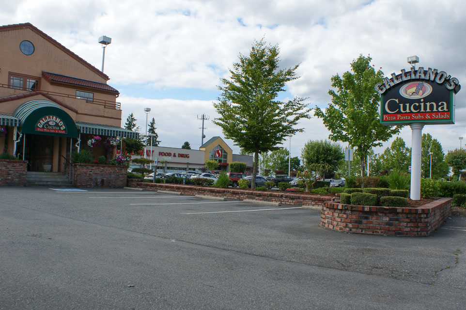
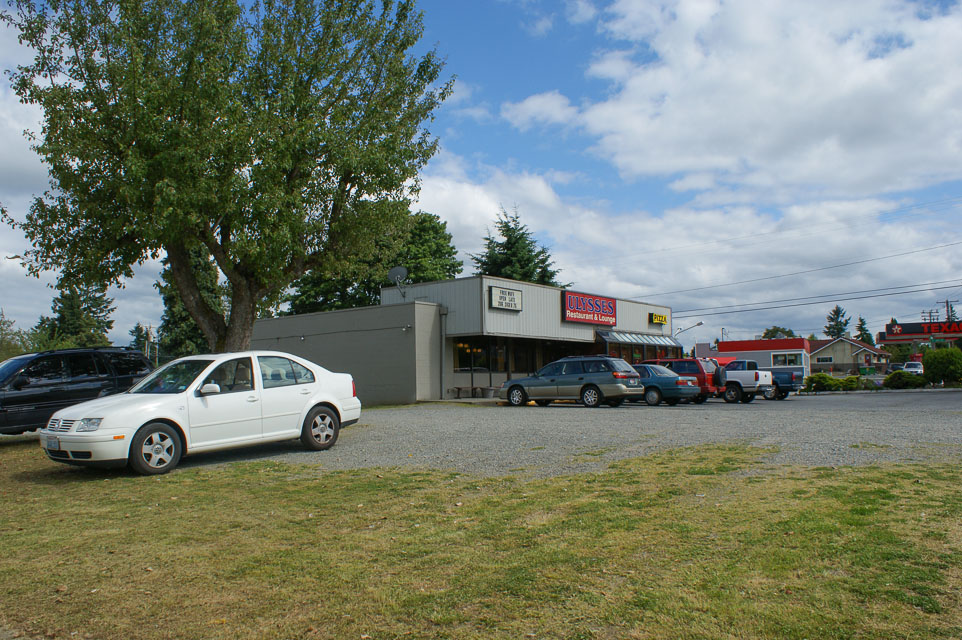
This is a local high point that is easy to get to from I-5 and I-405 for stop-n-shop operation into the greater metro area.
The topmost point behind Safeway is occupied by a large water tower loaded with antennas. You probably don't want to operate from right there, so find an open unoccupied parking area such as Galliano's Cucina (catering!), Safeway (starbucks!), Ulysses Restaurant (wifi + pizza!), Deringer (vacant!), etc.
Driving directions: From I-5 southbound, take Southcenter Parkway exit
- Turn right (west) onto Southcenter Parkway
- Take the first left onto 42nd Ave
- Climb the hill and you will find yourself in McMicken Heights on high ground
- Find an open parking area away from wires, water towers, etc
- To return to I-5 or 405, don't go back the way you came
- Go west to International Blvd and then north to 518, for easiest highway access
Mt Jupiter, CN87mq64
| 47.687300, -122.948000 |
1730 foot elevation west of Brinnon on the Olympic Peninsula.
Driving directions: Driving south of Brinnon on Highway 101, after a few miles, watch for the Mt Jupiter road sign.
- Take the right turn (west)
- Follow the main road (which is paved at first, but quickly turns to gravel)
- Follow signs to the Mt Jupiter trailhead.
- Once you get to the trailhead, you will understand why you can't operate there, so turn around and backtrack a little to find a suitable turnoff to the right.
- It's not great for Vancouver or Victoria, but excellent for everything else.
- The shot to CN72 on 2m is a PIPELINE.
There is also a second location:
- Shortly before getting to the trailhead, the road Ys, with the left fork going to the trailhead.
- The right fork goes to the spot which, if you succeed making it across the trench, is a short drive
farther to a wide spot on the spur road.
- This second spot may be better to operate from if you're willing to risk getting stuck in the trench.
- It certainly is more level here. (K7CW)
Mt Crag, CN87ms03
| 47.766099, -122.997608 |
These roads wash out often. There may be no one around to help you. Shoulders may be soft, and may drop you 100's or more feet. We have taken regular passenger cars and RV's up these roads with no difficulty. If you see something you feel is not safe, don't attempt it. You are probably lost. Turn around and try to find the last known location.
Driving directions: Get to Brinnon on Hwy 101, south of Quilcene.
- At the north end of town is Dosewallips Road which starts west between a gravel pit and a motel.
- Set or check your odometer, as all distances will be referenced starting from Highway 101.
- Drive 1.1 miles and watch for the 2620/Rocky Brook Rd on the North side of the road.
- There is a "farm" with old equipment on the south side of the road.
- The road starts out rather steep and looks like a residential access road at first, but suddenly becomes a narrow one lane forest road.
- Go 2.9 more miles to the intersection of 2620 and 2630. 2620 is the road we stay on and it goes to the right. (4 miles showing from 101).
- Go another 1.1 miles on 2620 to the intersection of 2620 and 030. 2620 is the road on the left and we are now 5.1 miles from highway 101.
- Continue on 2620 another 3.2 miles, (8.3 from 101) to the top of the pass between Buck Mtn and Mt Crag.
- As you reach the summit of the pass there is a storage area for road building materials on the west side of the road. The road we want is numbered 050.
- Turn west (left) on 050, travel .8 (8 tenths) miles to the intersection of 050 and 053.
- Stay to right (uphill) and go another 1.25 miles to the intersection of 050 and 056. 056 starts at the top of a very sharp hairpin turn and runs .75 miles to the end of the Mt Crag ridge.
- You will pass a very steep hill rising on your left, before the end of the ridge. This goes up to a repeater site.
- Stay to the right on the narrow road that skirts the side of the road that rises.
- Headings can be confusing, so if you get a chance to see Mt Rainier or Mt Baker, make a note of where they are.
Restrictions: Per KD7TS the road is gated at Forest Road 056. (September 2011)
I-5 Federal Way, CN87ug25
| 47.271354, -122.314583 |
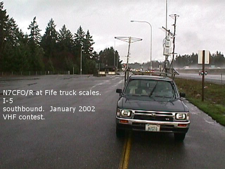
This is a truck scale located next to a rest stop. The best operating location is in the scales area. The rest stop has a lot of trees that hamper UHF operation. This is not a great spot, but it is quick, and restrooms are handy if you need them. There are good paths to the south, and you can usually work the locals on UHF if nothing else.
Driving directions: I-5 northbound: just past milepost 140, take truck scales exit. Bear left.
I-5 southbound: just past milepost 141, take truck scales exit.
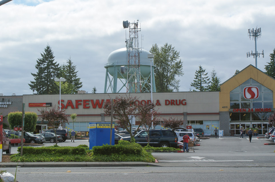
Newport Hills, CN87wm28
| 47.533970, -122.143190 |
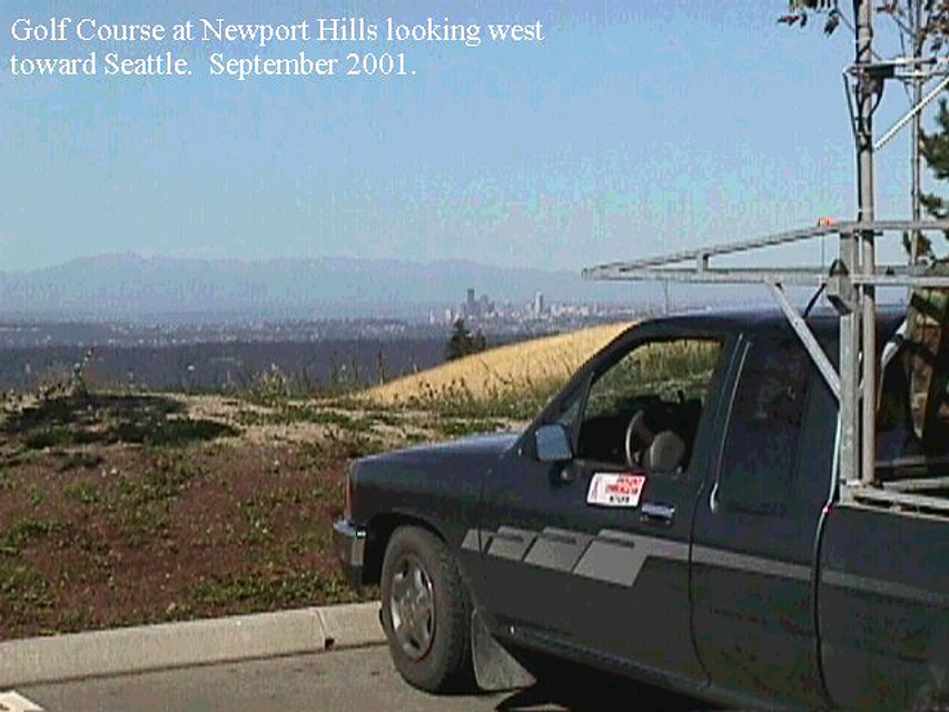
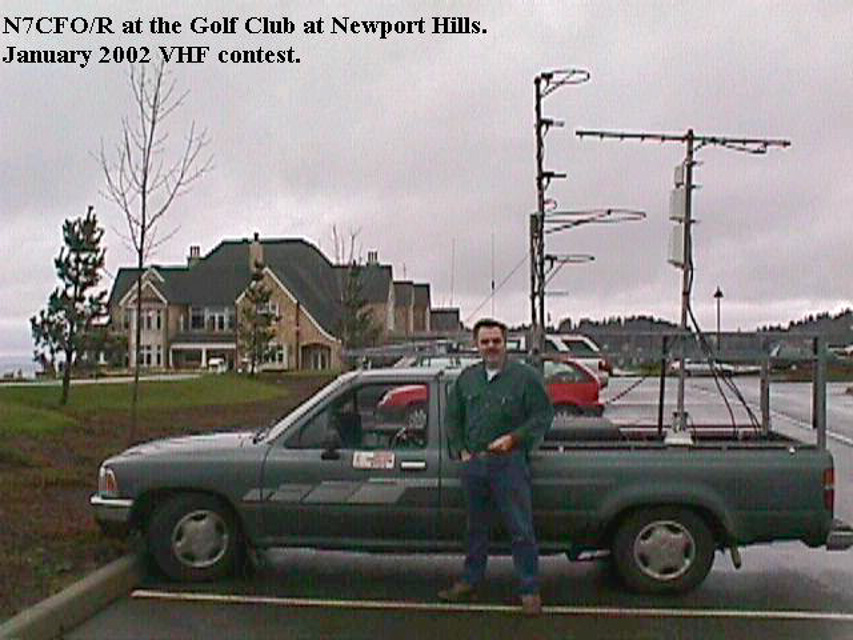
This is a commercial golf course about five miles east of I-405. The best operating location is the southwest corner of the parking lot. There are excellent paths to the north, west, and south, and not bad to the east. The course staff are ham-friendly and have been very cordial.
Driving directions: Take exit 10 off I-405 onto Coal Creek Parkway.
- Go east 2.5 miles to SE 72nd.
- Go left on SE 72nd 1/4 mile to 133rd Ave. SE.
- Go left on 133rd Ave SE 1.6 miles to a road on the right. The road does not have
a sign, but there is a large "The Golf Course at Newport" sign on the corner.
- Go up this road 1/4 mile to an intersection and then take a right up the hill on
"Six Penny Lane". (Do not go straight up the service road.)
- Go up Six Penny Lane .7 miles past the clubhouse to the parking lot.
Restrictions: 5/3/2003: Lynn N7CFO went up there for the UHF sprint, and the operations manager asked that in the future that hams call Jim Rupp, the facilities manager at (425)793-4681 to ask permission to operate. This is important - we don't want to lose a prime operating location for lack of making a phone call.
Overlook Point Park, CN87ma93
| 47.014966, -122.916799 |
This site is a public park parking lot on a ridge. It is about five minutes off I-5. The north end of the lot has excellent VHF/UHF exposure to the north. The park closes at dusk, but the police don't seem to mind. There are restrooms and water available.
June 21, 2005 update by Lynn: I was in the area and noticed from I-5 that the hill had been logged off, so I drove up there. The hill behind the park has been clear-cut and there is now an excellent north/south exposure from this location. There is a gate at the top of the road, but it was open so I was able to get to the top of the ridge. The best location is likely east of the water tanks. If the gate is closed there is still a pull-off next to the gate that offers good north/south shots.
This photo shows the best operating position if the gate is closed. You can see the gate just beyond my truck. If the gate is open go around to the left behind the water tanks.
Driving directions: I-5 exit 102
- West to Second Avenue
- North on Second Avenue to Linwood Ave
- Left onto Linwood Avenue to 7th/Barnes
- Up hill approx 1 mile to park on left. Look for water tank.
Restrictions: This is in a populated area, and the line of fire to the north is over several apartment buildings, so there could be a TVI/RFI problem if you are running a lot of power.
Mt Pleasant Cemetery, CN86ob03
| 46.054199, -122.832198 |
This is a good hill close to I-5.
Driving directions: Take Exit 32 (Kalama River Road) from I-5.
- Go East 1/4 mile on Kalama River Road and turn left onto Old Hwy 99 S.
- Go North 1.8 miles on Old Hwy 99 S to Mt Pleasant Road.
- Turn right onto Mt Pleasant Road and just go uphill.
- Follow signs to Mt Pleasant Cemetery.
- Turn right onto Hale Barber Road, and go 2 miles.
Restrictions: Not much place to park.
Dray's Mound, CN86nb65
| 46.066300, -122.864800 |
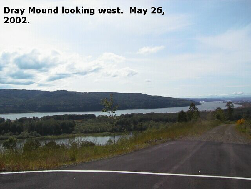
High spot just off I-5, but don't go, it's gated off.
Driving directions: - Take Exit 32 (Kalama River Road) from I-5.
- Go East 1/4 mile on Kalama River Road and turn left onto Old Hwy 99 S.
- Go North 1.8 miles on Old Hwy 99 S to Mt Pleasant Road.
- Turn right onto Mt Pleasant Road and almost immediately turn left into the Carrolton Crest development (stone entrance).
- However, as of Jan 2013 this is now gated and normally closed.
- This community is an exclusive and private road.
- Instead, continue on up the hill to the Mt Pleasant Cemetery, CN86ob.
Restrictions: This is gated shut for private access only, as seen in Jan 2013.
I-5 Scatter Creek, CN86mu10
| 46.836100, -122.986200 |
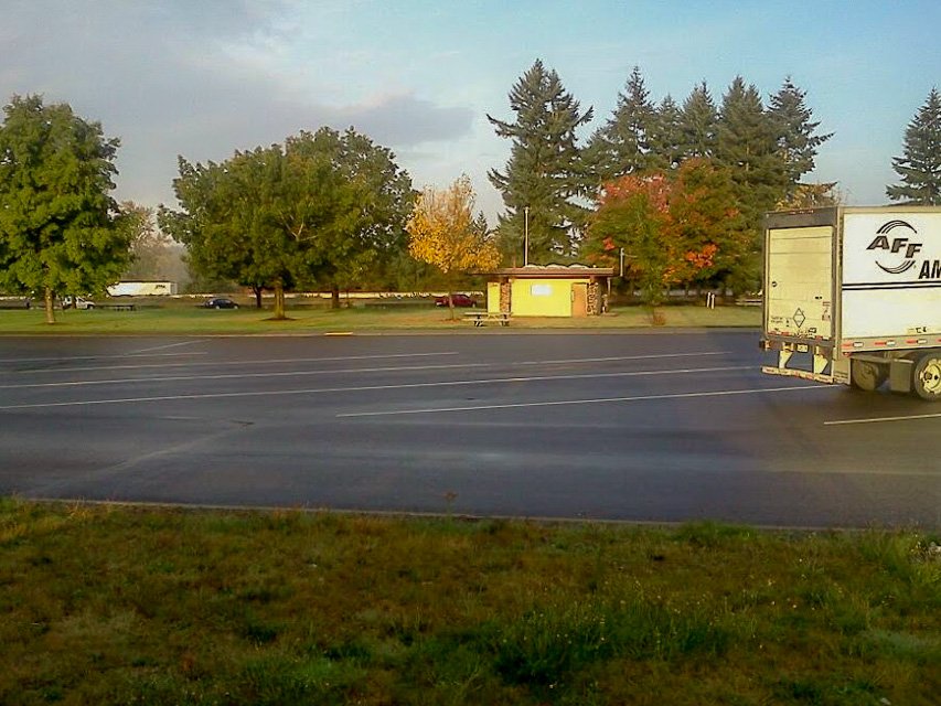
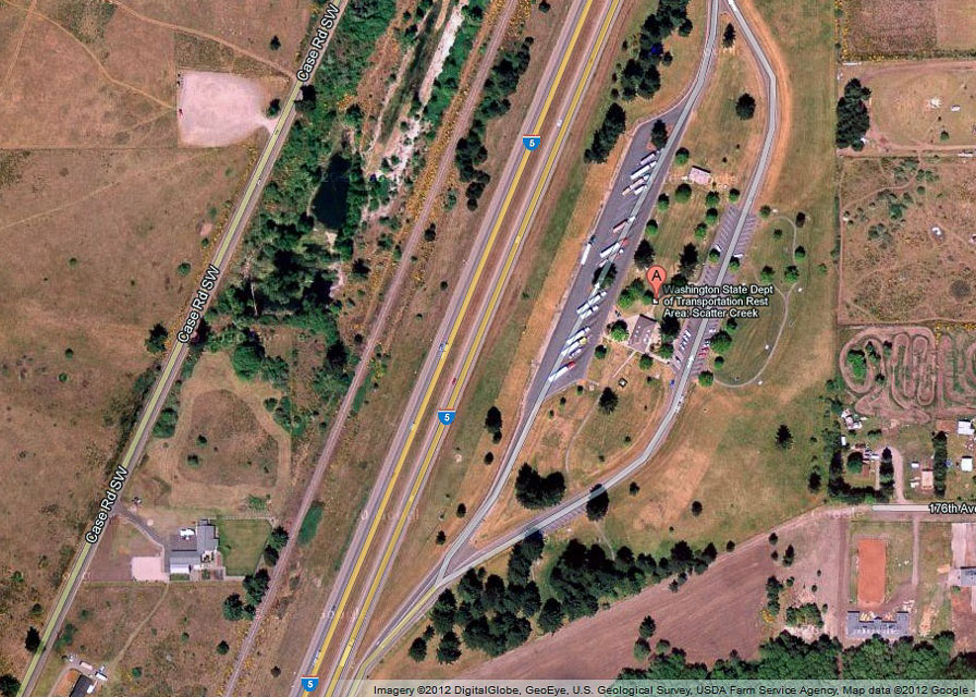
WSDOT rest stop on I-5 in broad flat valley offers quick off-the-freeway access with good sightlines to Seattle and Portland metro areas. There's not much else there except clean restrooms.
Driving directions: I-5 rest stop about 20 miles south of Olympia. Note access only from northbound lanes.
Bahokus Peak, CN78pi89
| 48.372100, -124.675900 |
This is an old Air Force site with some local government radio antennas and a weather radar site. There is a wide place to park off the main road at a fork leading to one of the sites. There is no place to camp, but great place to stop and setup. I noticed no apparent receive interference problems from the mountaintop electronics, although VE7DXG could probably be heard on a Heathkit dummy load from that location.
There are trees everywhere on the hilltop which would make microwave operation difficult if not impossible above 1296 MHz. On the way up there is a spot with good exposure East to Southeast.
Driving directions: Look for Makah Air Force Station. Follow SR 112 to end of pavement, turn left, then drive approximately 1 mile to a hard right turn that takes you back up the hill to the top. The top is about 3 miles inland from the most northwestern point on the continental US. This gives you a nearly unobstructed look (except for trees) to the South, so it is a great place for coastal tropo.
SR 112 also has some places along the Strait of Juan De Fuca on the way to Neah Bay from Sekiu (Hello CQ from Sekiu) where vertical rock faces are on the West side of the road, and pulloffs on the East side of the road. These passive reflectors are good for about 6-9dB of signal enhancement (at least to K7RAT) while roving and can make for a few more points while driving up to the hill.
North Point, CN78xc10
| 48.084444, -124.072466 |

This a fire lookout site that has been converted to a small park/viewpoint, complete with an outhouse. If the weather is clear you can see it from Highway 101.
Look to the north when you are in the speedometer test area. The road up is well maintained, and could be driven in a passenger car if you are careful. There are numerous ditches cut across the road for drainage, but they don't present a problem if you take it slow. The path to the north is blocked by a ridge. The road continues to a microwave site which is on higher ground but gated off.
Driving directions: Take Highway 101 west from Port Angeles.
After you pass Lake Crescent, you'll eventually cross two bridges.
Turn right (North) on West Snider Road and cross the bridge.
Go 0.4 mile and then left at sign "North Point Lookout".
Go up FR 3040. It took me an hour from the highway to the lookout.
Hole in the Wall, CN77xx87
| 47.989979, -124.016247 |
This is up a paved forest Road south of Highway 101. It gives easy access to the CN77-78 grid line. The Delorme maps for this area are not particularly good, and if it is cloudy you can easily get turned around.
Driving directions: Go west from Port Angeles:
- 0.0 - Turn south on Cooper Ranch Road opposite Klahowya Campground.
- 0.3 - Turn left onto NF-29, a narrow single-lane paved road.
- 1.7 - Keep left to stay on NF-29, still mostly paved.
- 2.4 - Turn right to stay on NF-29, ignore unpaved side roads.
- 7.2 - Keep right at Y
- 8.7 - Keep right; both roads join about 100 yards ahead.
- 10.0 - CN78xa46: a ridge with open horizon east, this would work okay to setup in CN78.
- 10.8 - Is the "hole" photo above, and turn-off to NF-2922. No good horizon east from here.
- 11.3 - CN77xx69: the end of the pavement and a good place to operate in CN77.
- Allow 35 - 45 minutes from main highway.
Ocean City, CN77wa07
| 47.032587, -124.164064 |
This is a state park located just north of the CN76/CN77 grid line near Copalis Beach. It is a large park with camping and day use facilities. It is an easy 6/2/432 haul into the Seattle area IF people have their beams pointed in the proper direction to work you. If you go into CN76 or CN77 you are well advised to do a lot of planning and make sure that amateurs in the Seattle and Portland areas are looking for you.
Driving directions:
- Highway 12 West to Aberdeen
- West on Highway 109 to Highway 115
- South on 155 to state park
Restrictions: This is a state RV park and a Discover Pass is required for motor-vehicle access. Check the Washington State Parks website for park hours and seasonal schedule.
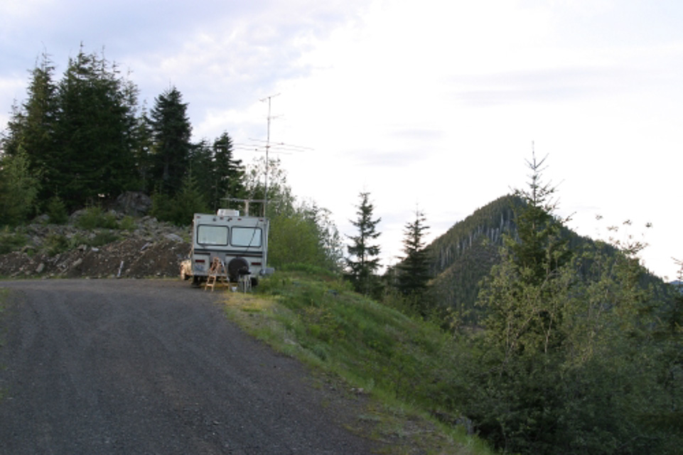
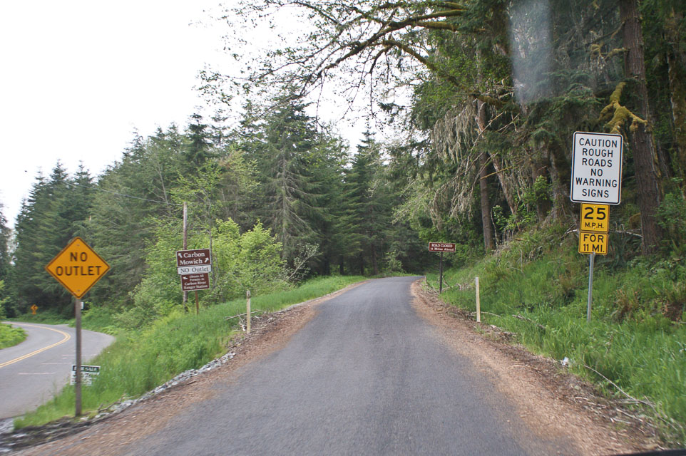
Mowich Road, CN96aw18
| 46.951000, -121.984200 |
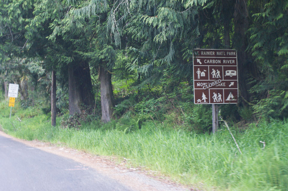
On the western flank of Mt Rainier is this neat wide spot on the road. It offers a good CN96 location and then grid CN97 is but a few minutes west, followed by a short drive to Buckley for both CN87 and CN97. Although Mt Rainier is blocking access to Eastern Washington, the mountain provides an effective reflector to reach stations in more places. Mt St. Helens may reduce signal strength of Portland area stations but I worked into Oregon quite effectively. The views are stunning but most side roads are gated off, preventing access to logging roads.
You can ignore the sign "Mowich Lake Closed" because the lake is well beyond our intended parking spot. However, pay attention to "caution rough roads" -- it turns to gravel and washboards just past this sign. A four-wheel drive vehicle is nice but not essential. Just beyond this turnout is the Evans Creek ORV (off-road vehicle) park; beware of a steady stream of Jeeps on this road that are headed up to play in the mud.
The chosen parking spot offers a rocky knob to gain a few more feet of altitude, which improves propagation path to the north through the trees across the road.This was my most successful VHF 2-meter trip to date. Seattle is 45 miles to the north with booming signals. Portland is 100 miles to the south with good signals. I love this spot.
Mowich Road, CN86xx82
| 46.967000, -122.009200 |
A mile west of CN96aw is a wide spot on Mowich Road, offering good propogation from CN86xx. These two spots together make an excellent place for operating a VHF contest. (Please bring a trash bag and help pick up after the careless littering.)
Toppenish Ridge, CN96ug09
| 46.291600, -120.327670 |
This ridge along the south side of Yakima valley provides a clear view toward Seattle in the NW and to Portland in the SW. A four-wheel drive vehicle is needed to reach the top, but the dry local weather might leave it accessible in winter.
Goose Hill, CN85pv57
| 45.907749, -122.701449 |
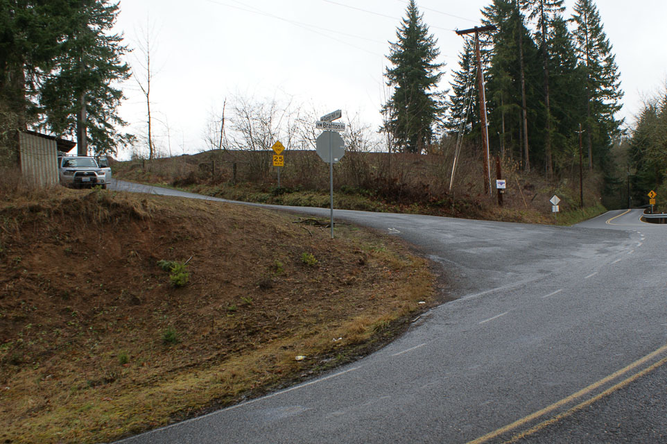
Goose Hill overlooks I-5 and the greater Columbia River valley, with easy access from the freeway. Although residents have gated the very top point, you can park on a gravel driveway for an open view in all directions with some low remaining rise to the north. And I even made some contacts northward into Seattle with my 15' mast and 7-element beam. Goose Hill has a radio tower nearby, but it's just a 911 transponder and did not cause 2-meter interference.
From I-5 take Exit 22 and wind your way up a mossy and scenic road. Turn left from Bratton Road onto NW Goose Hill Ave. Ignore the "Dead End" sign. Continue up to the top, turning left onto someone's dirt road before you reach their house. Driving time is about ten minutes from I-5.
This is a fine spot, but if you have a little more time and a 4wd vehicle, a much better spot is Davis Peak CN85qx up along the ridges just north near Ariel and Lake Merwin.
Woodland Ridge, CN85ow99
| 45.956630, -122.751630 |
This is an excellent quick location from I-5. The exposure to the south is very good, but there is a hill to the north that blocks the Puget Sound area on UHF.
Driving directions: From I-5 take exit 22, (Dike Access Road). Go East.
- Go about 1 mile and take Green Mountain Road left near some Little League fields.
- Follow Green Mtn Road up the hill.
- Look for a large sign on the right side of the road advertising home sites or lots.
- Turn right and follow the roads up the steep hill.
- At the top of the hill there are several good locations.
- As of 6/01 the road was gated near the top of the hill.
- If you continue up Green Mtn. Road you'll start down the Kalama side of the mountain and eventually end up in Kalama. This is not recommended because of slow roads.
Davis Peak, CN85qx95
| 45.981167, -122.583833 |

Davis Peak offers an outstanding ridge road with some pulloffs for operating with views in all directions. Note that a 4wd vehicle is needed for these forest service and logging roads. Note there is always snow in the winter, even when the lowlands are clear and warm.
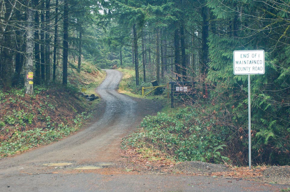
Davis Peak is a half-hour drive from I-5 Exit 22 near Woodland. Follow highway 503 along the north side of Lewis River. Continue past Hansen Road (a dead end of course) and turn left onto the nicely paved Fredrickson Road. At the "end of maintained county road" sign, continue onto the logging roads. At every branch in the road, choose the upward path.
There is a longer alternate route suggested by Google Maps, which doesn't currently show the logging road at the end of Fredrickson Road. The alternate route turns off at Little Kalama River Road and climbs up to follow the ridge line to Davis Peak. There are likely even more good candidates along this path.
Check the area in advance for campgrounds. I saw several pull-outs that have been used for camping but of course there are no services. This road is well known to the local teenagers for summertime hangouts.
I did not operate the radio on my reconnoiter visit, but I'm tempted to come back for the Salmon Run contest in Cowlitz County. Also, it was very foggy and snow covered; the tiny dirt path along steep drop-offs makes an extremely disconcerting drive in these conditions.
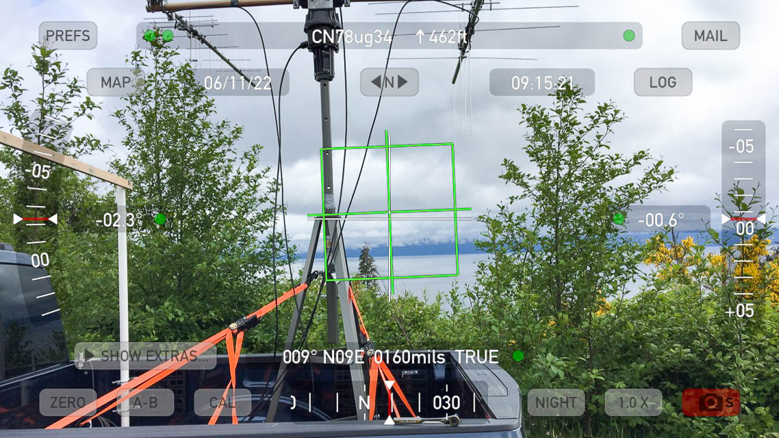
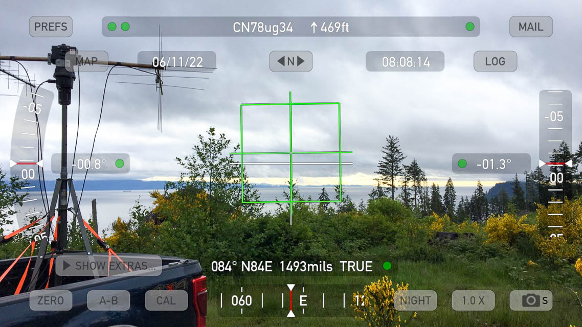
Sekiu Airport, CN78ug34
| 48.267368, -124.307045 |

Sekiu, CN78ug32
| 48.261070, -124.306161 |
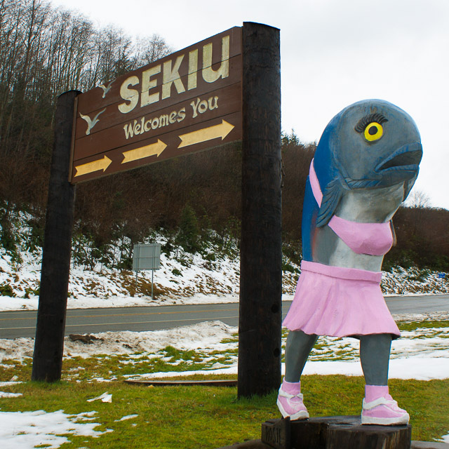
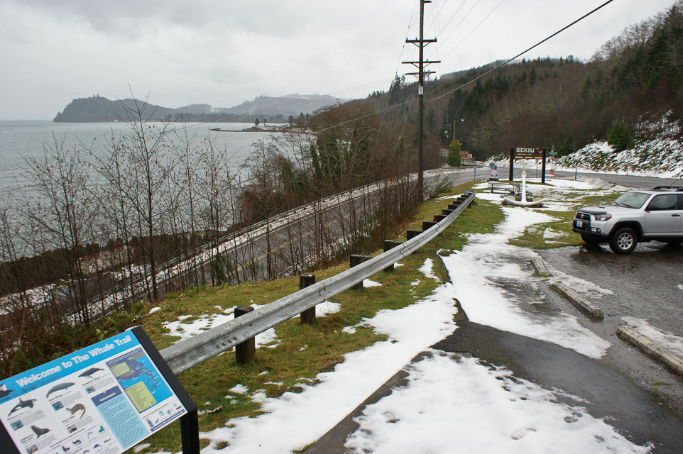
Every ham should have a chance to call CQ from a spot like this that can generate such mind-boggling confusion: "CQ CQ, CQ from Sekiu, CQ to Sekiu, and CQ everywhere else."
We arranged our schedule to be in this remote lowland spot during the regular Sunday morning weak-signal net, to give us better access to the more capable 2-meter stations. It was a good thing we did, too. It was difficult to make any contacts with people in Seattle because the Olympic mountains blocked our signal. Finally, we found that if everyone points at Mt Baker to the north, we could make a few contacts into Puget Sound.
Ocean Shores Airport, CN76wx29
| 46.998833, -124.144500 |
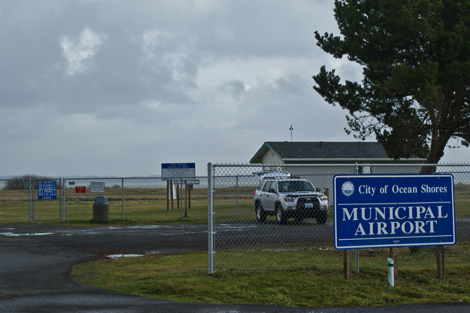
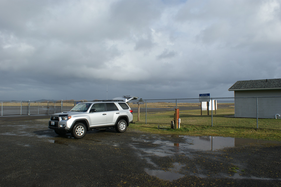
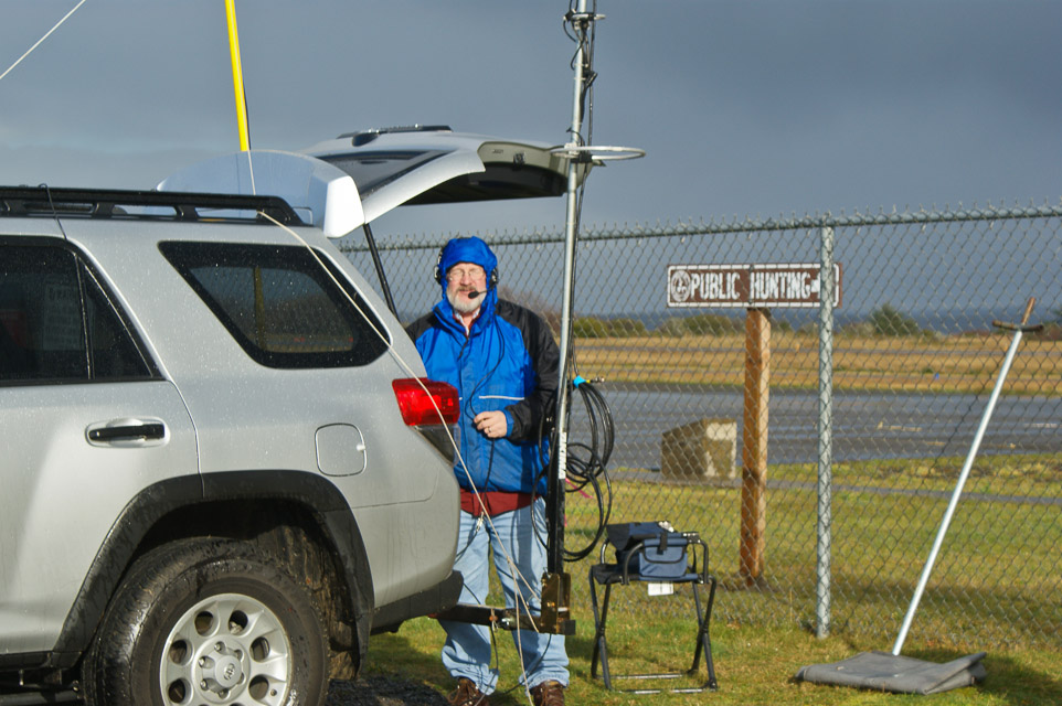
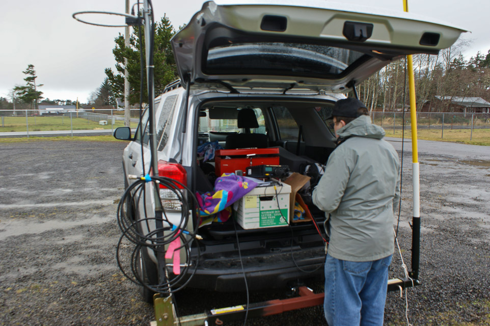
During the ARRL January VHF Contest, Rod WE7X and Barry K7BWH (ex.WA7KVC) activated the three coastal grids of CN76, CN77 and CN78. Our first stop was CN76 at the Ocean Shores municipal airport.
Skyline High School, CN87xo64
| 47.601000, -122.032833 |
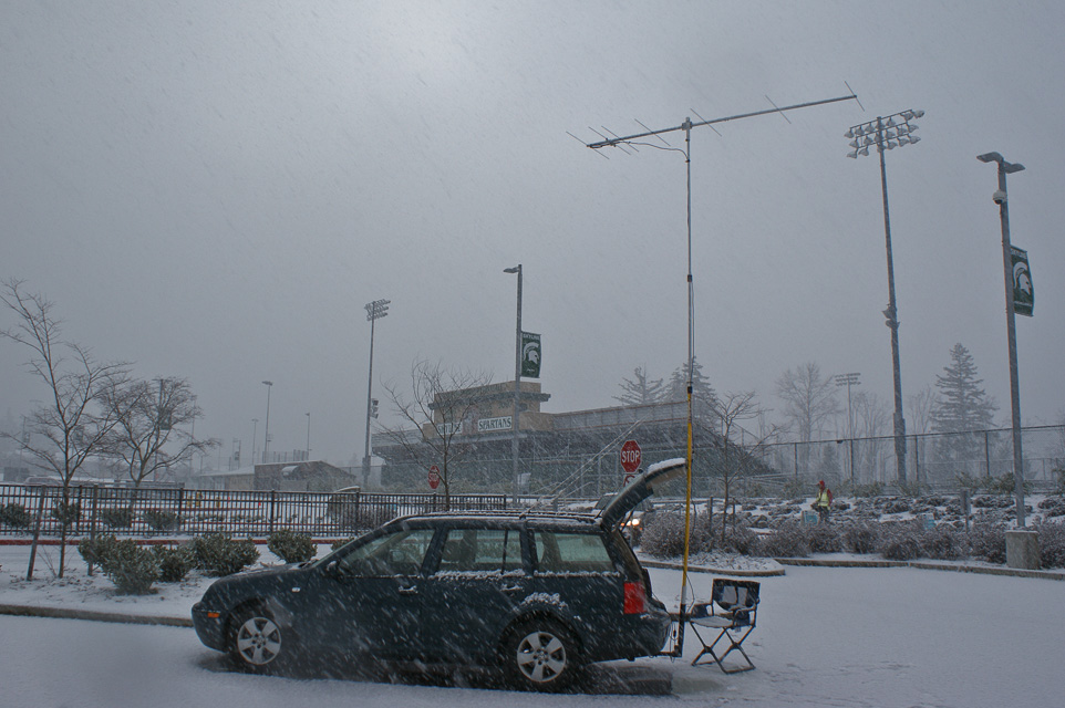
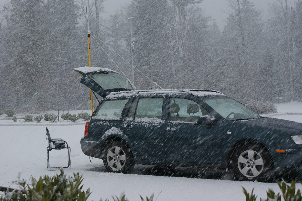
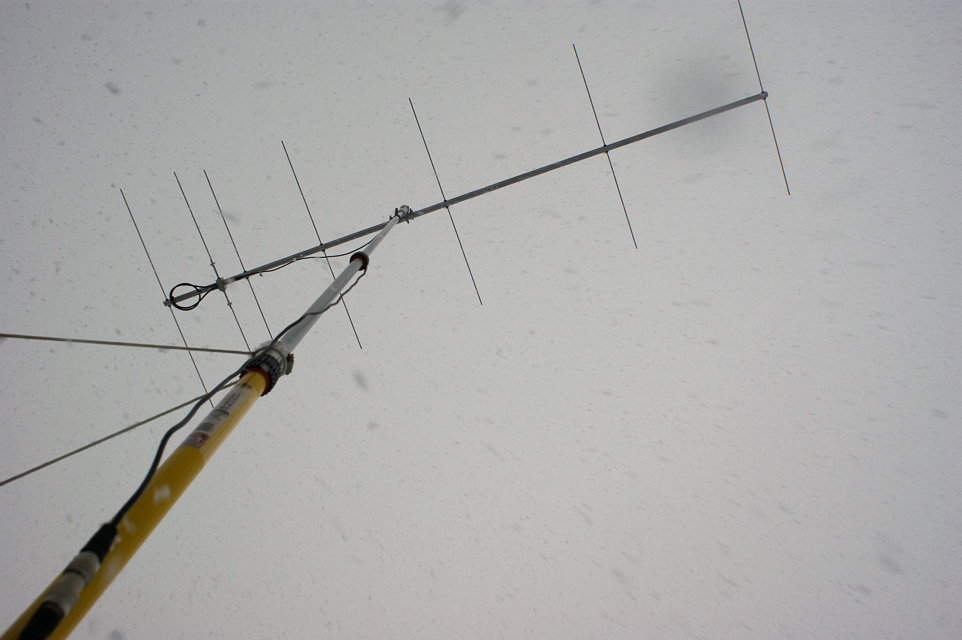

It was a cold and snowy January day, but I simply had to try out a new M2 antenna before the VHF contest next week. So I parked on the nearest hilltop at Skyline High School. I've used this location before, so it makes a fair comparison. However, today I parked out in the open area of student parking on the north side. The weak-signal net had a light turnout, but I made three contacts: Kirkland (12mi), Monroe (CN97au, 21 mi) and Sunnyside (CN85rk, 150 mi).
Signal reports about the gain and directivity of the new 2M7 antenna revealed that it is clearly better than my Cushcraft 3-element beam that I've employed to date.
Long Beach, CN76xi41
| 46.340262, -124.046330 |
I want to find a location in CN76 that has (a) minimal driving time, (b) good propagation to a population center such as Portland or Seattle, (c) in the state of Washington. This only includes a thin sliver of land along Long Beach and Fort Canby State Park. I'm looking at:
- Wildwood RV Park and Campground, 5411 Sandridge Road, Long Beach, WA, Tel. 360-642-2131 offers wi-fi and a few amenities.
- Cape Disappointment State Park (formerly Fort Canby State Park) has 152 campsites open year-round. To reserve a campsite, call (888) CAMPOUT or (888) 226-7688.
Eatonville HS, CN86uu67
| 46.862544, -122.280297 |
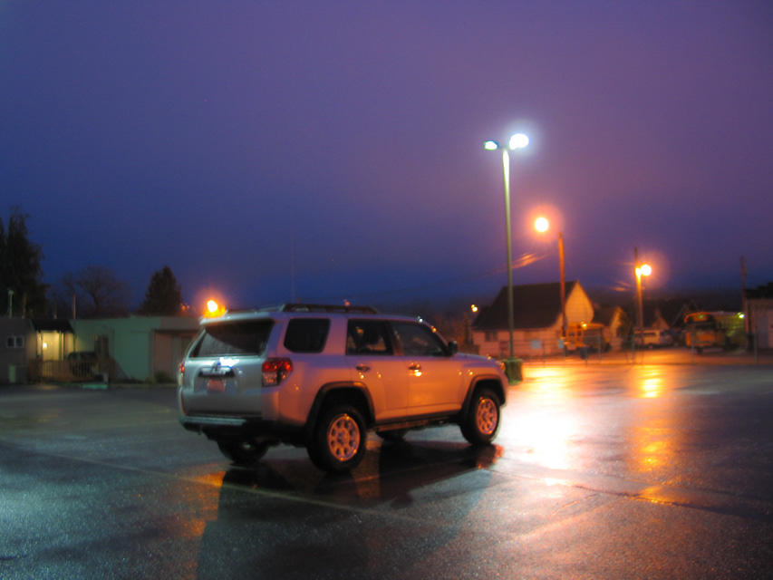
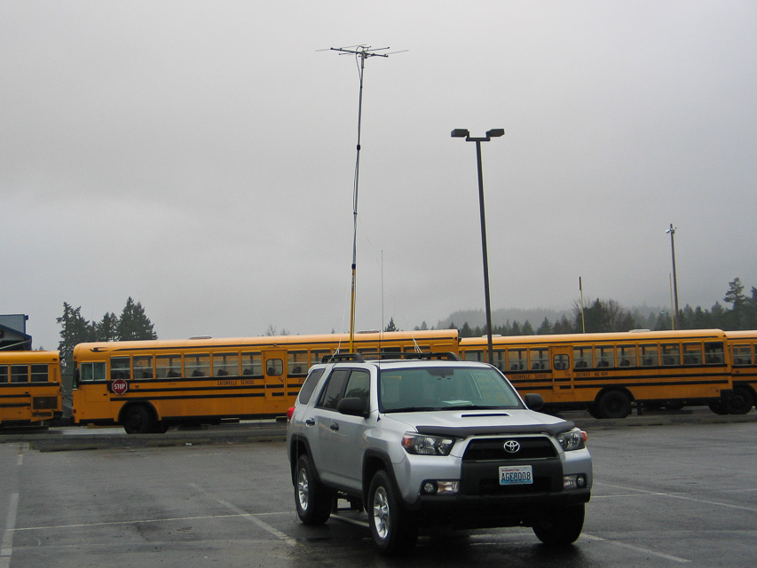
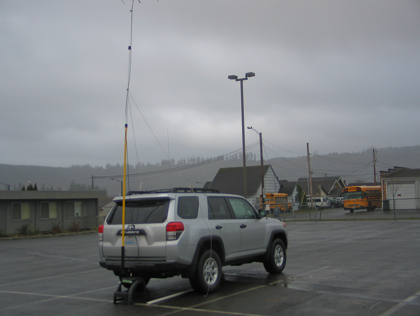

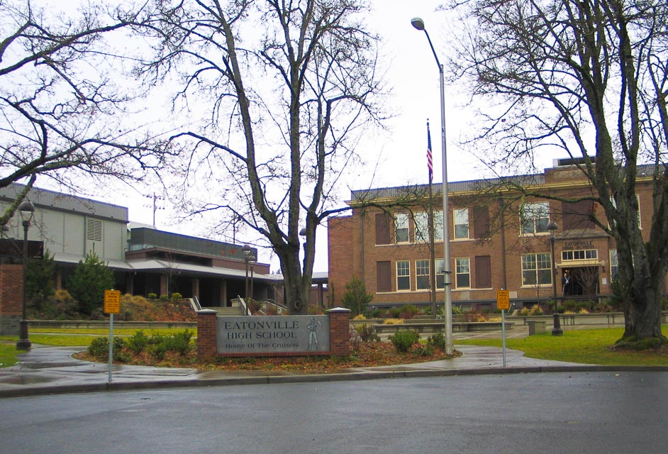
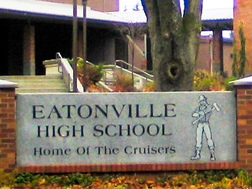
Eatonville High School provides a convenient large parking lot in this shallow valley near Mt Rainier. This site was my backup plan after failing to find a route up to Electron Reservoir.
Although the location is surrounded by low hills, we had an excellent path into the greater Seattle area (50 miles) and a marginal path into Portland, Oregon (100 miles). There were lots of people on the weak-signal net this morning as we enter the christmas holiday season and I made six contacts.
Mt Walker, CN87ns18
| 47.785900, -122.901300 |
If you're on the Olympic Peninsula, there is a great hilltop named Mt Walker. It is fairly good elevation at 2800' with a flattish table on top of a knife-edge ridge. There is parking and a great shot to the east and perhaps north. All of Puget Sound and Seattle is visible. The dirt road and gate might be closed for the winter, but it sure is fun in the summer. It should have less traffic and visitors than nearby Hurrican Ridge.
It's due west of Poulsbo, on the edge of Quilcene Bay. When driving southbound on Hwy 101 (aka the Olympic Highway) (and aka Pacific Coast Scenic Byway) turn left onto National Forest Road 2730 and follow the mountain road about 4.4 miles up to the peak.
Electron Resevoir, CN86vw20
| 46.920371, -122.232105 |
This name is simply too good to pass up! "Electron Resevoir" is a lake near the city of Electron, WA. And it is in CN86 which is a grid square that I need.
Unfortunately it looked like private property and the entrance was gated shut. I tried to visit on an early Sunday morning, Dec 18, 2011. The good news is that the road is nicely paved. The bad news is that it goes through the "Kapowsin Quarry" owned by Washington Rock Quarries. I drove to nearby Eatonville High School, instead.
But! The satellite maps show a possible alternate route on public roads. My lame GPS has really bad routes on forest roads. Next time, I will try this route.
Granite Falls HS, CN98ac10
| 48.087454, -121.985557 |
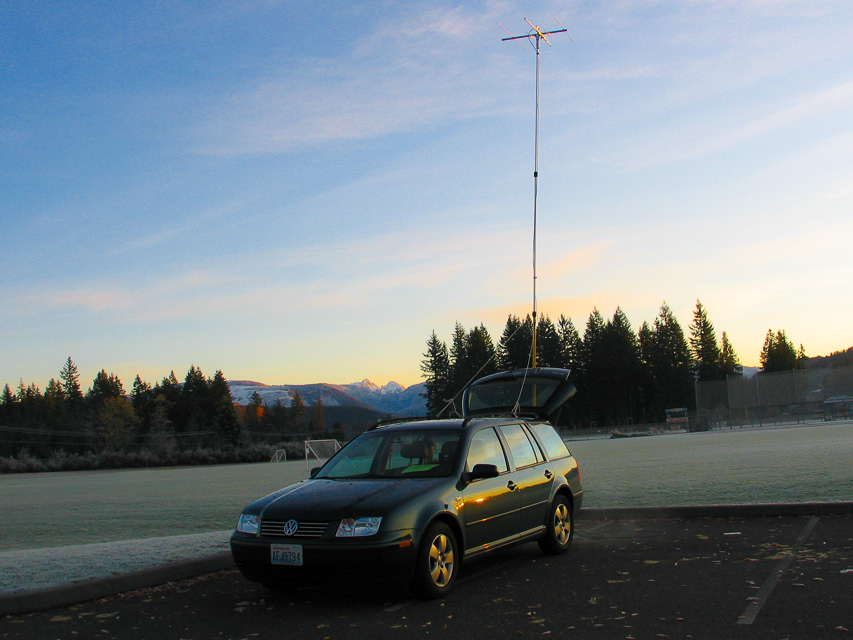
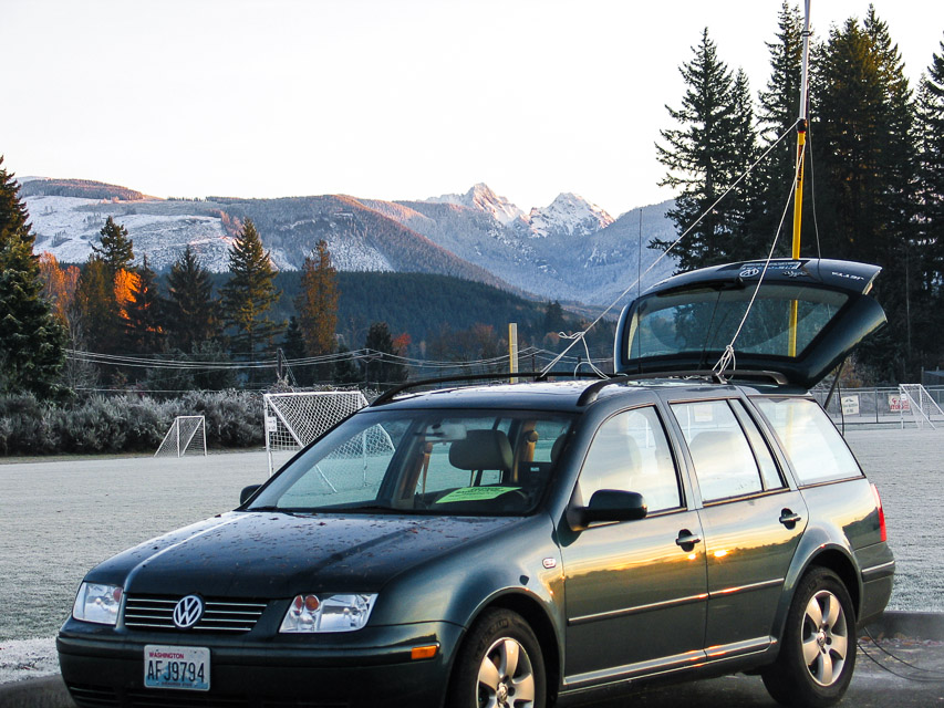
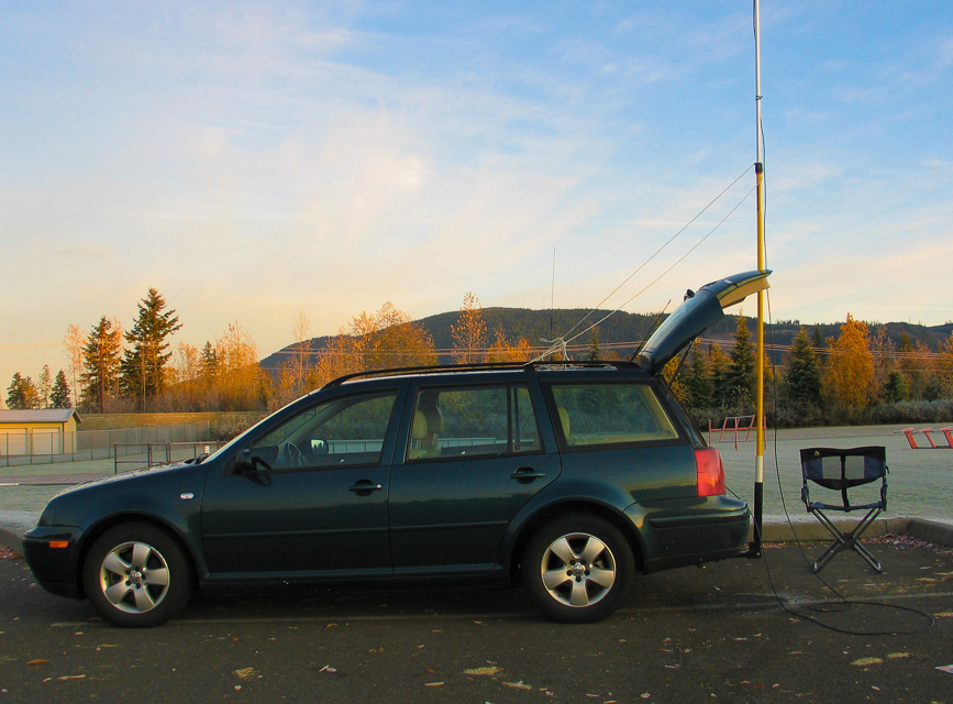
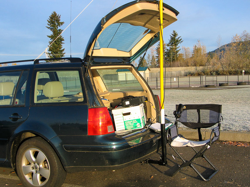

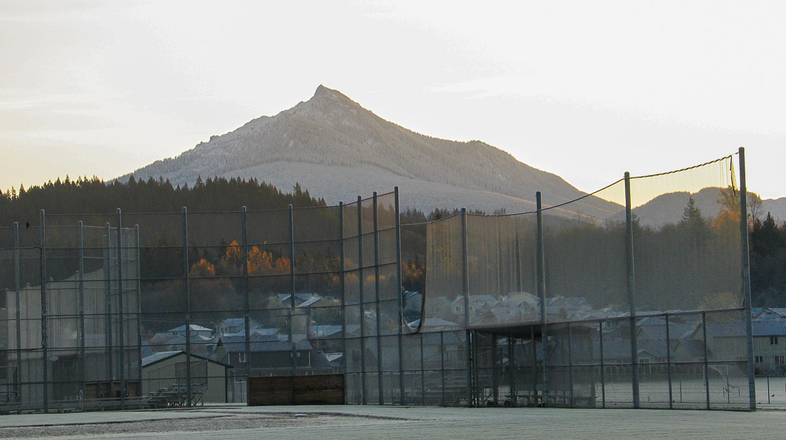
This is a relatively easy drive from home in order to activate CN98. The whole CN98 grid square is rather mountainous, containing Mt Baker and Mt Pilchuck, along with the rugged Cascades that extend unbroken into British Columbia.
The high school parking lot is in the valley so don't expect long-range propagation. It has a good take-off angle to Seattle, the Everett repeaters are loud, and it's close to northwest Washington. I only made two contacts (Ray W7GLF Kirkland, Paul WA9BTV Camano Island) and barely heard the Portland stations a few times.
Mt Pilchuck and Green Mountain are nearby and much better locations for radio work. However, do not enter these mountains in winter without 4-wheel drive and appropriate gear. Otherwise you may have to back down steep glare-ice one-lane roads and pray your ABS is functional going backwards. Don't ask me how I know.
Woodridge Bellevue, CN87vo92
| 47.592783, -122.173330 |
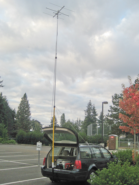
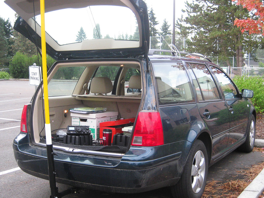
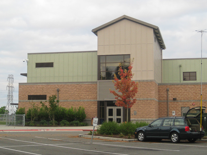
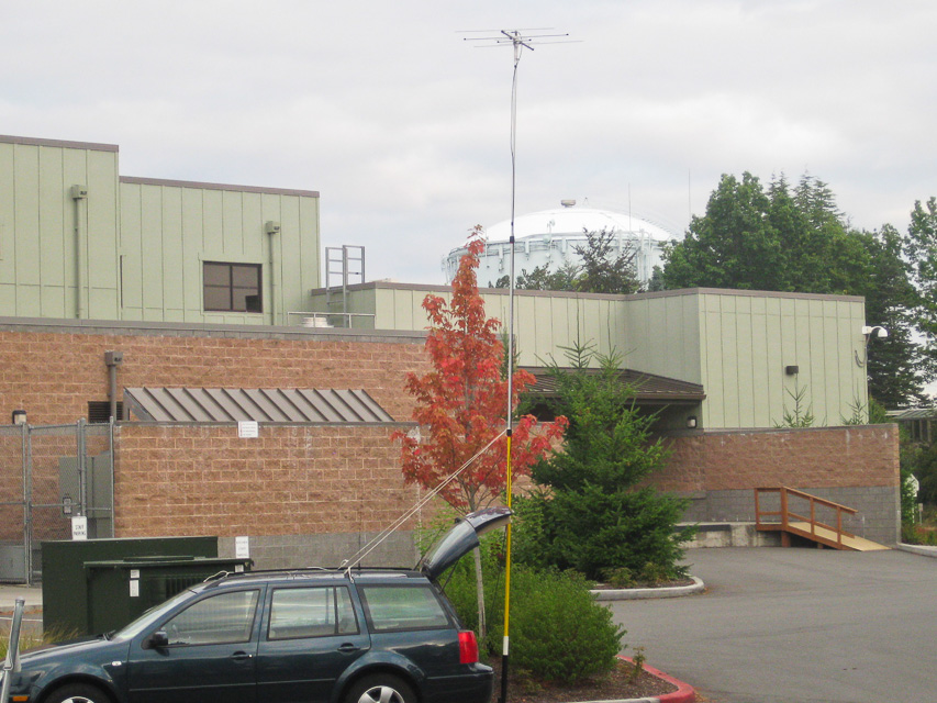
This open and exposed rounded hilltop near downtown Bellevue has pretty good propogation to the south, west and east. The lat/long is in the east parking lot of Woodridge Elementary School, near the freeway interchange of I-90 and I-405.
Note that high-tension power lines run N-S along the edge of this site, and a water tower bristling with cellphone and microwave antennas is nearby. As it turns out, these did not interfere with 2-meter reception unless I pointed directly at the water tower.
This was fun to visit -- I went to school here for a few years until 1965 and now it's barely recognizable. The trees were smaller then and the school itself was much smaller.
Maryhill Microwave, CN95nq78
| 45.703508, -120.854831 |
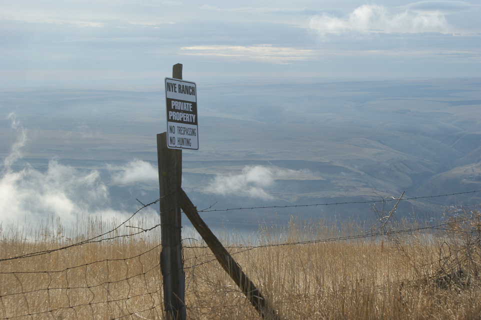
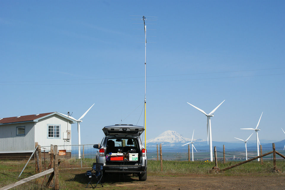
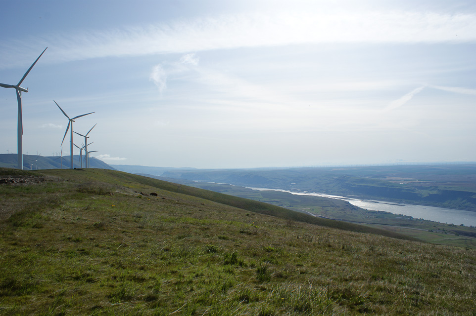
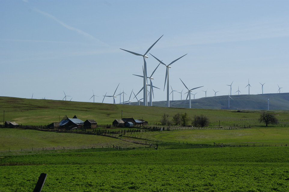
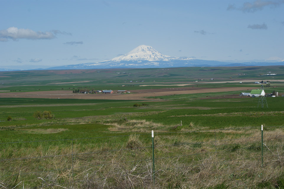
Along Washington's southern border near Goldendale, the bluffs above the Columbia River offer good bare operating locations. One site in particular is a former AT&T microwave site among the Windy Flats (good name) wind farm, high above the crossing between Maryhill and Biggs Junction. This is a prime candidate for activating the WA side of CN95.
A hilltop site directly north of the Biggs Junction Columbia River Bridge on the WA side. It's an old AT&T microwave site on the bluff overlooking the river, with a great view to the south and east.
The facility itself is gated but a convenient parking pull-out is right there. The road has open public access to here but it is signposted "private" immediately beyond. This spot is surrounded by numerous wind generators and a cellphone tower is very close.
Quartz Mtn, CN97lb07
| 47.073892, -121.080029 |
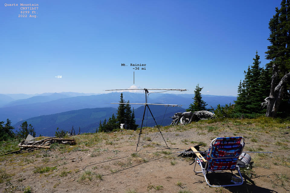
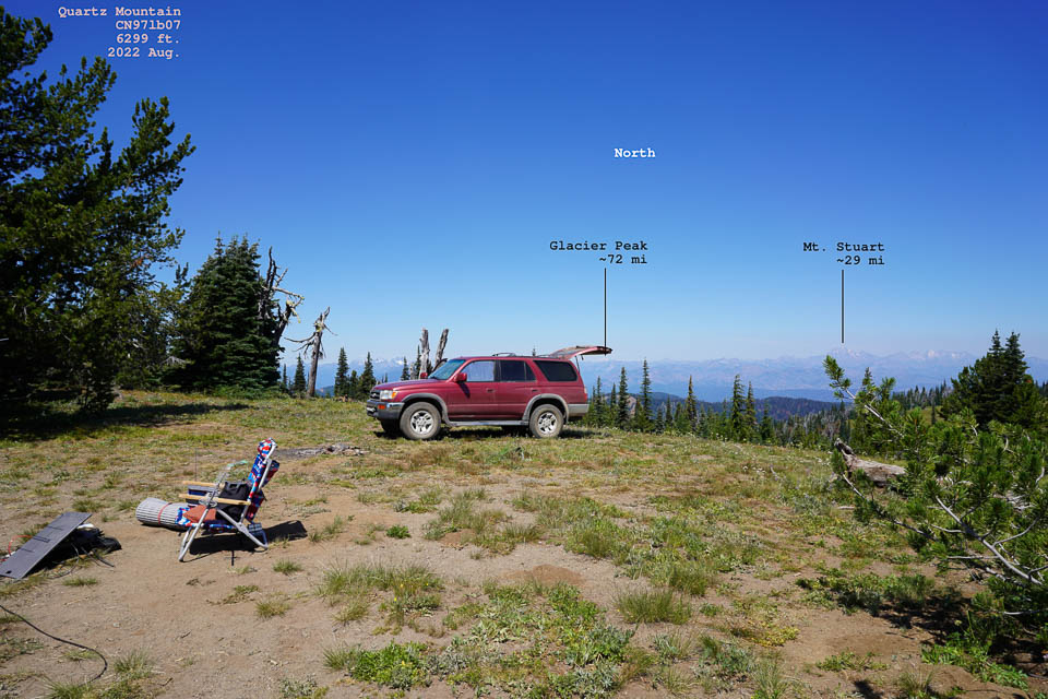
Quartz Mountain is a a 6,000' peak about 10 miles south of Cle Elum. It is reached from I-90 Exit 93 "Elk Heights Rd", relatively near Seattle. An excellent site, reached by about 29 miles of dirt roads, but you can probably drive your daily grocery-getter car to the top. There are considerable forest service roads which are usually in excellent condition.
Photos courtesy of Peter AF7GL.
Driving directions: I-90 Exit 93 "Elk Heights Rd"
- Forest service road 3300
- Forest service road 3100 but it may be washed out
You can also enter from Thorp and go up Taneum Creek.
- Look for Buck Meadows
- Follow FS 3120 and go to FS 3100
- It will take you to Quartz and Frost Mountains
Cle Elum Ridge, CN97lf85
| 47.232167, -121.012333 |

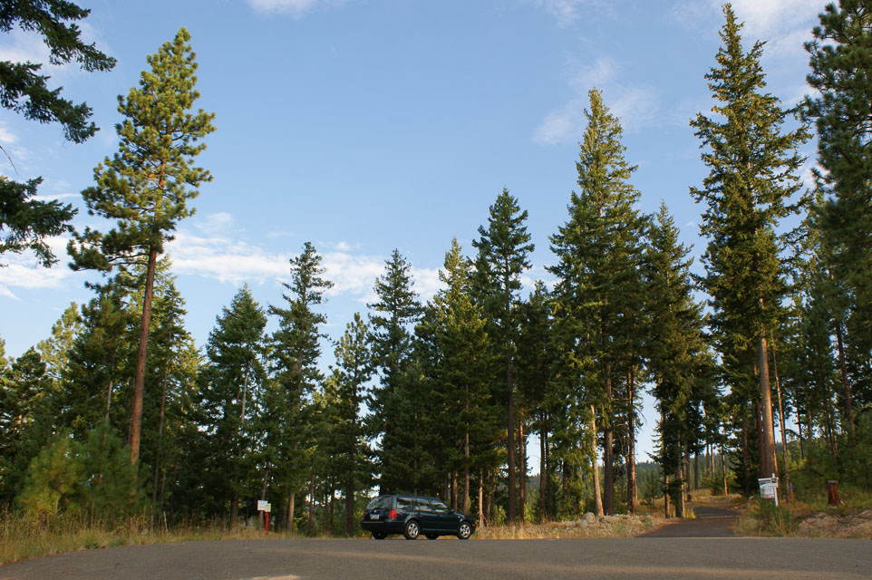
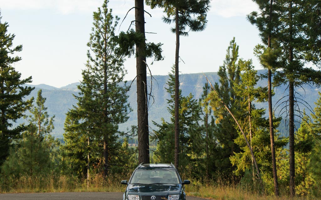
Cle Elum Ridge is high above the city of Cle Elum an hour east of Seattle. This ridge is just north of the I-90 freeway. It is said to have a great eastern exposure for working HF contests and plenty of trees for supporting long wire and dipole antennas.
Does anyone know how to drive up to the north ridge? I tried several forest service roads from Roslyn and Ronald, to no avail. They were all gated or posted "no motor vehicles". I joined the weak signal net from a cul-de-sac in a newer housing development from Hwy 903, but VHF propagation was very poor. Apparently there is no direct signal path to anywhere; my best results to Kirkland were by reflecting off the south ridge. I did, however, contact KC7I in CN84 around Corvallis, OR, about 210 miles SW.
Not far away, on the south side of I-90, are Quartz Moutain and South Cle Elum Ridge, which offers some additional altitude. Better yet is Keechelus Ridge at 6,000'.
Lake Stevens HS, CN88xa05
| 48.022000, -122.078333 |
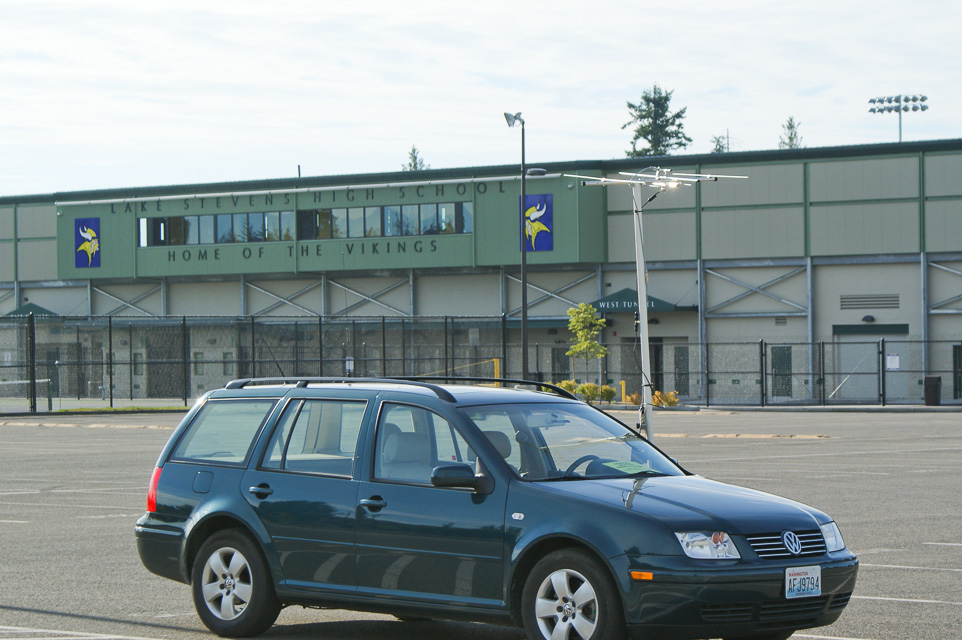
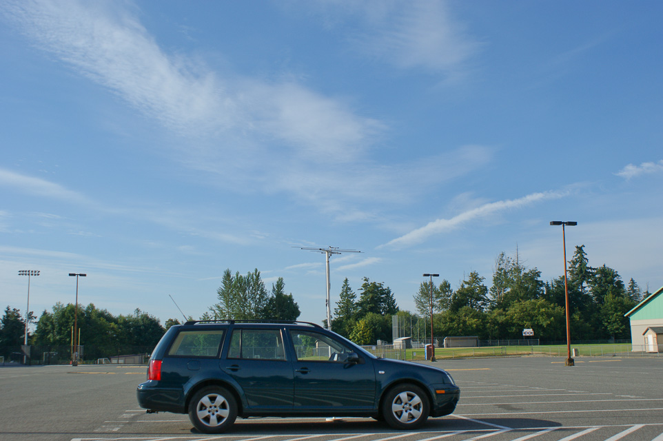
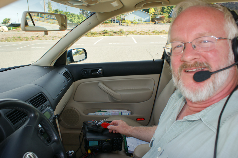
Lake Stevens High School is built on the top of a hill just north of a nice recreational lake. The large school parking area provides open view in all directions, especially south. Includes a porta-potty.
For the first time I made contacts in Portland and other Oregon cities.
Squak Mtn, CN87xm40
| 47.503982, -122.047420 |
Squak Mountain is the middle of the chain of Cougar - Squak - Tiger mountain range marching east from Bellevue. These are wonderfully tall peaks visible for many miles around.
This might be primitive forested national park area. Although google maps shows roads, I suspect it is accessible only by 4-wheel drive vehicles. Local reports say it's usually gated 100 yards in, and a really nice hike to the top in summer.
CN86-87-96-97, CN97aa00
| 47.000000, -122.000000 |
I wonder if there are enough roads in this remote area near Mt Rainier to support grid square circling?
One report shows hams camped on Poch Peak south of Carbonado for the June 2004 VHF contest.
Badger Mt, CN97vo90
| 47.584920, -120.173010 |
Recommended by a ham in Wenatchee. The ski hill top is located at an elevation of 3,500 feet about 700 feet down from the top of Badger Mtn on the east slope, so there's no VHF path to the west with all of Seattle's VHF activity. But it's easy to reach from Wenatchee and has good path to Spokane and Coeur d'Alene.
However, it's not the best location: It has no path to the West because it's at approximately 3,500', which is about 1,000' down from the Badger Mtn summit facing East. (There's no place to set up and operate from the top of Badger.) Also, there's a ridge line from ESE that connects into the mountain on over to the NW. That position does work well into the Spokane area, however. But there's very little VHF activity in the generally eastward direction unless there's rover activity.
Lion Rock/Table Mtn, CN97rg00
| 47.250800, -120.577550 |
This is a popular astronomy site, and even has a webpage! There is a paved road up most of the mountain. It is single lane with frequent pull-offs and is frequently navigated by RVs and motor homes. There are three good operating locations in this area.
- Table Mountain: N47.250833 W120.57755, CN97rg, 6200'
To get to this location, drive to the "T" at the top of the road. Go left about 1/4 mile and look for a grove of evergreens to the south. There is a road going to this location and lots of room. This location gives you an excellent exposure to the south and east and an OK exposure to the west. Unfortunately Lion Rock is to the west and blocks the path.

- Lion Rock: N47.25241667 W120.58565, CN97qg, 6300'
To get to Lion Rock, go past the Table Mountain Location and follow the Lion Rock signs. The road has recently been improved, but is still rough with a lot of sharp rocks. The operating location has an excellent exposure in all directions. It is a popular camping site, so you may have company.
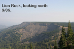
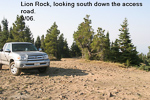
- Table Mt. Road: N47.2355667 W120.5659833, CN97rf
Lynn spotted this location during the September VHF contest. It is about two miles south of the "T" on the road up the hill and at 5950' is only about 250' below the Table Mountain location. It has an excellent exposure to the west.
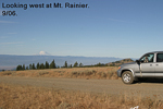
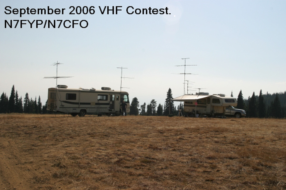
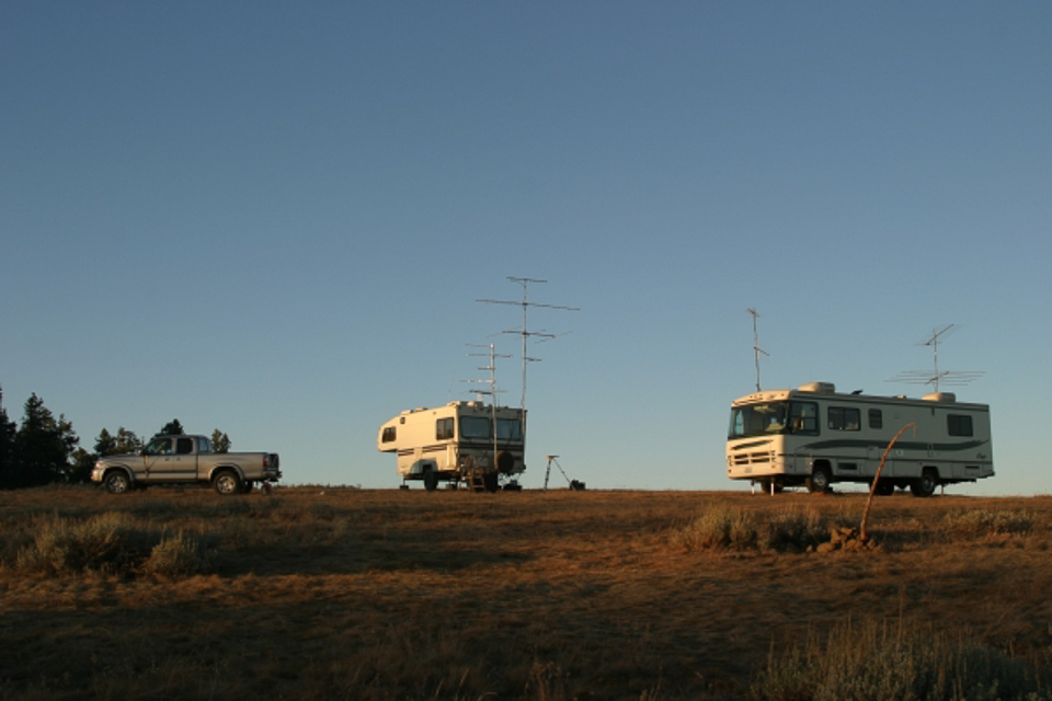

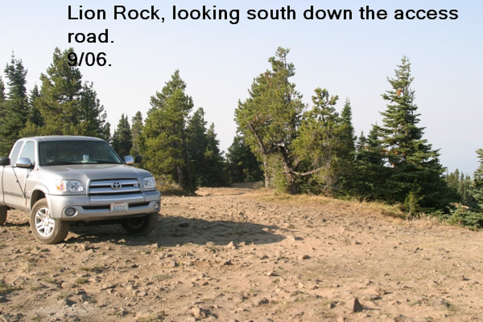
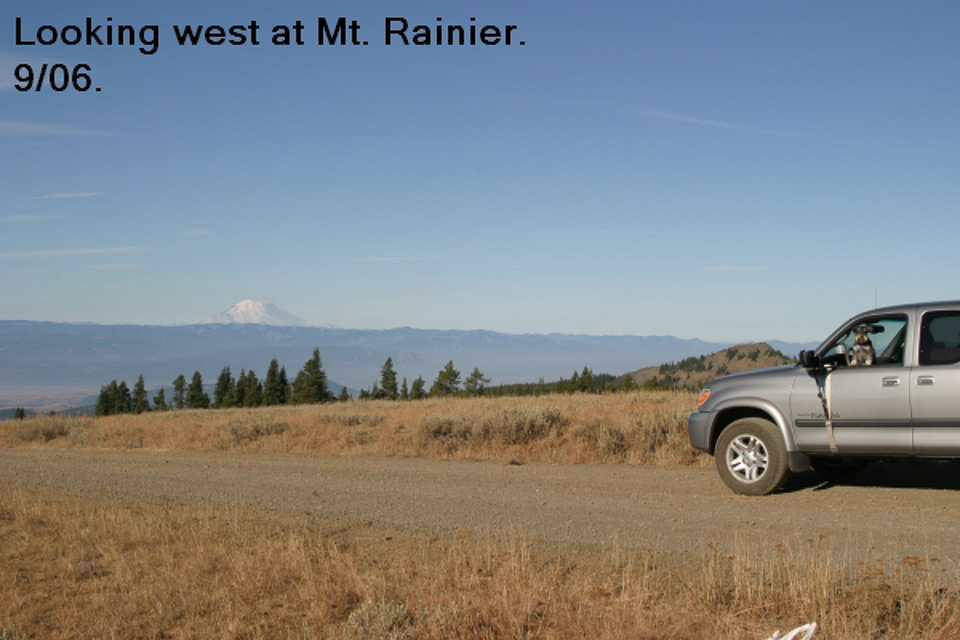
Driving directions: See the list above. The road gets a bit steep in places, but should be no problem.
- Coming down can be another story, especially if you are in a heavy rig.
- The road has a lot of switchbacks, so you have to use your brakes or engine
braking to control your speed.
- Frequent stops are necessary to allow your brakes to cool.
I-90 Rye Grass, CN96vw73
| 46.932975, -120.185709 |
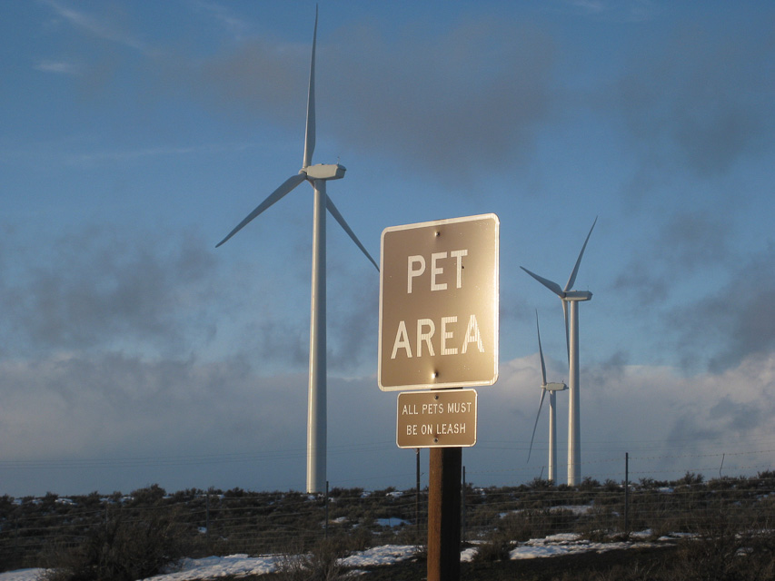
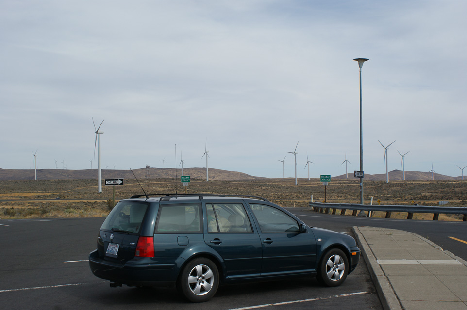
A small rest stop along I-90 in a lovely wind swept area with rest rooms, wifi and a view. On a clear day, Mt Rainier (CN96dv) can be seen 70 miles away due west through a gap in the hills.
There are rest stops on both the east and westbound lanes. The site at the eastbound rest stop is slightly higher. Per WE7X, the best operating location is the Highway Department borrow pit between the east and westbound lanes at the very summit. There is lots of space and no curious onlookers.
A better candidate is probably a few miles north in among the wind farm, or at Whiskey Dick Mountain, CN97va36.
Be aware it's a popular and busy area, so you may be interrupted with comments and questions. Recommended to have signage to inform passersby and avoid alarming anyone.
Roosevelt, CN95vr47
| 45.738500, -120.212833 |
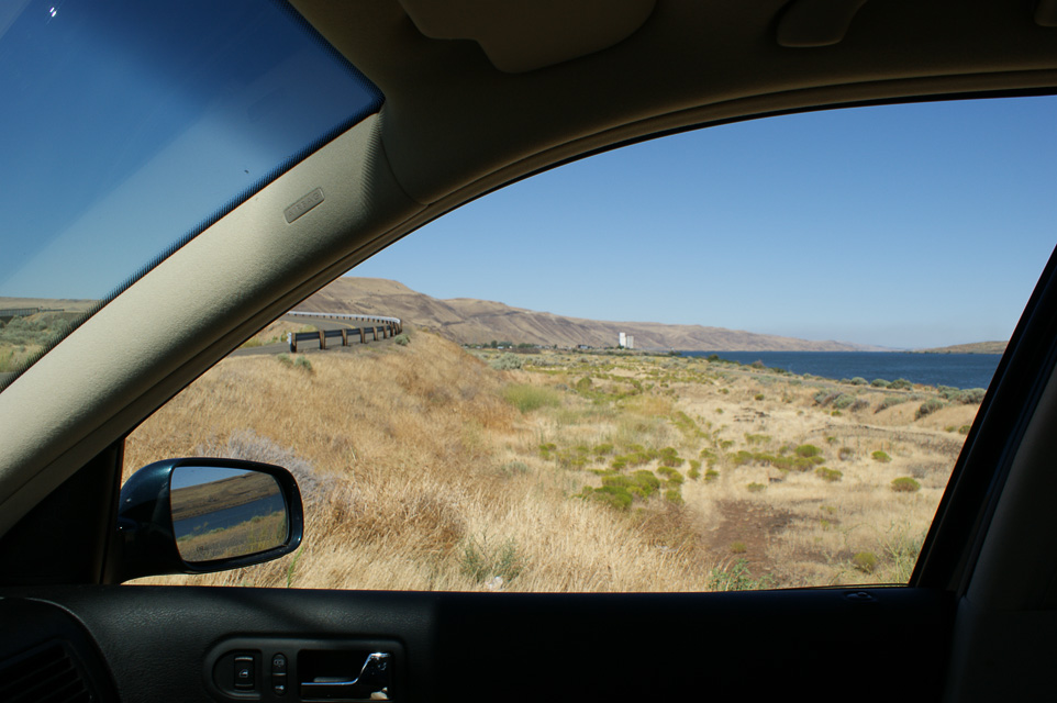
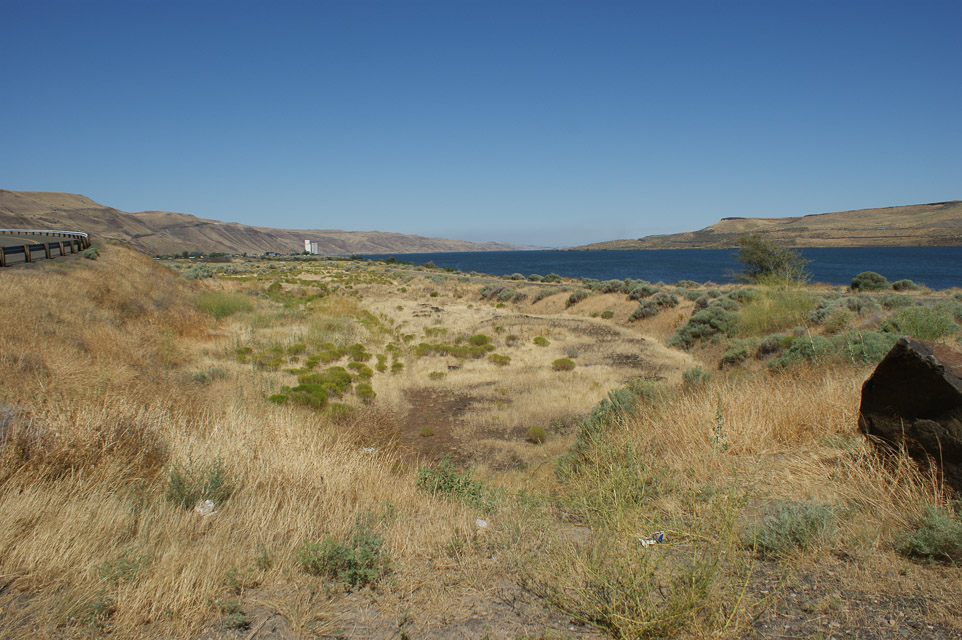
Very poor radio propagation in all directions.
My hope was to shoot east along the river into the Tri-Cities from the far side of the CN95 - DN05 grid line border. And I was hoping some sort of signal path to Portland could be made, but to no avail. You really need explore the nearby bluffs for altitude and good takeoff angles.
Roosevelt is on the Washington side of the river. There is a lovely green park nearby, a favorite spot for sailboard and kite surfers on the constantly windy river gorge.
Bonneville Dam, CN95ap76
| 45.651167, -121.939670 |
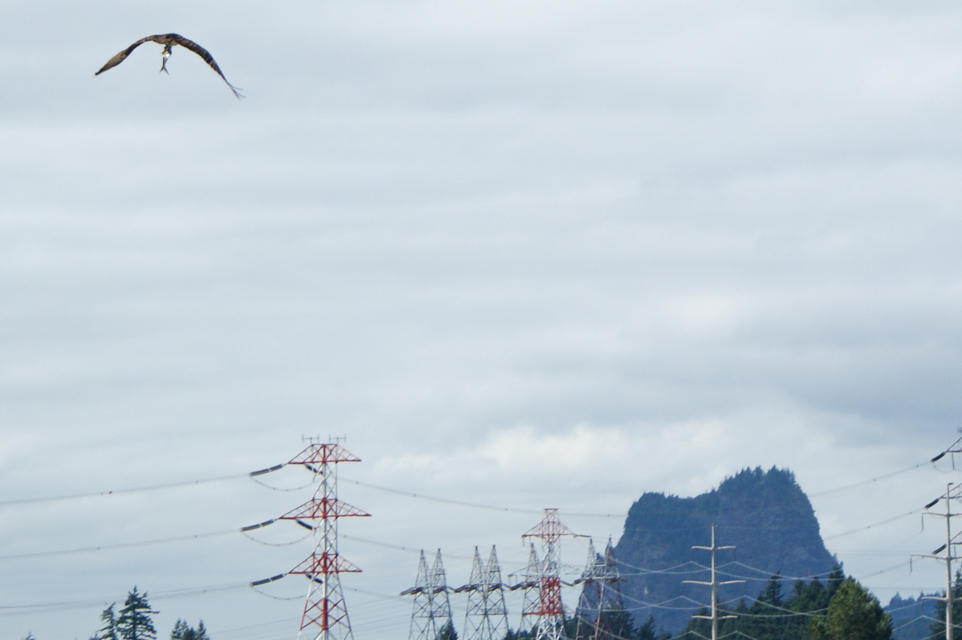
A very scenic location with very poor radio propagation and considerable noise from power lines.
This location is at the CN85 - CN95 grid line. I hoped to reach Portland using the Columbia River gorge valley, but no contacts were made.
However, the consolation prize is to watch osprey and turkey vultures fishing for salmon in the outflow. This is an incredible spot for bird watching.
Beacon Rock, CN85xp71
| 45.631167, -122.021833 |
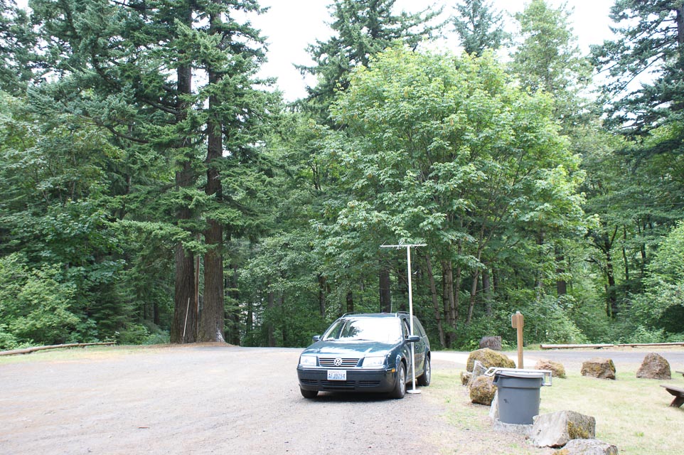
A national park picnic area with some altitude (500 feet) and fair propagation into Portland on 432 MHz.
I made an easy FM simplex contact into the Portland area.
This park requires a Discover Pass which you can buy on the spot using a drop box. A ranger came through to check, and offered to help me upgrade it from a day pass ($10) to a year pass ($30). Later, I wished I had taken her offer, since I visited Steptoe Butte and needed to have a pass there.
Kalama Gridline, CN86na80
| 46.000100, -122.847500 |
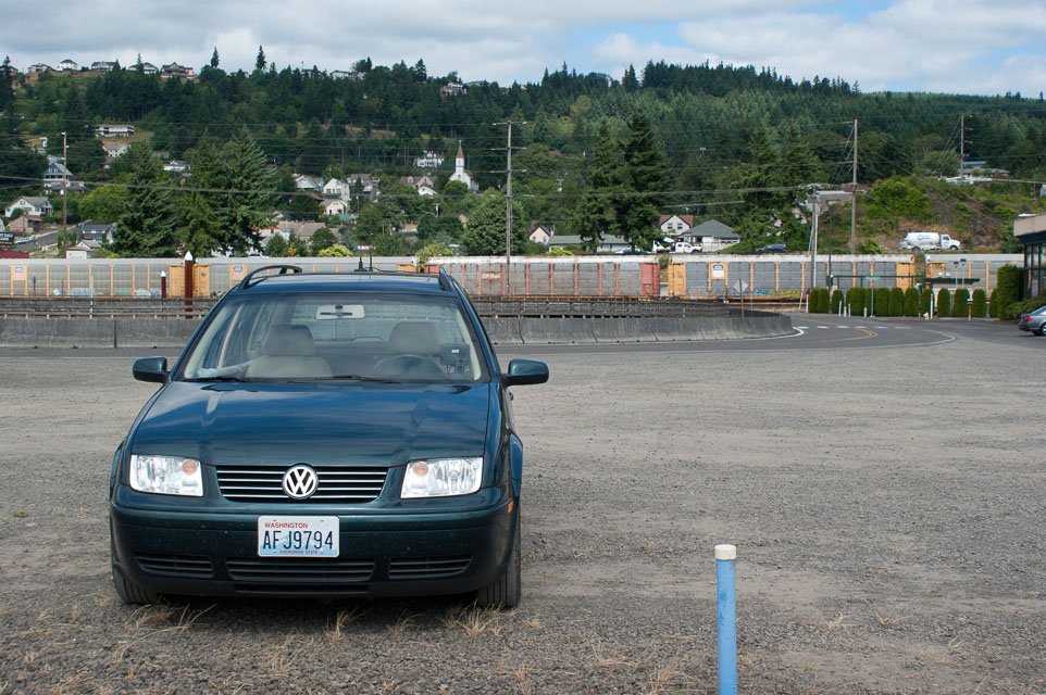
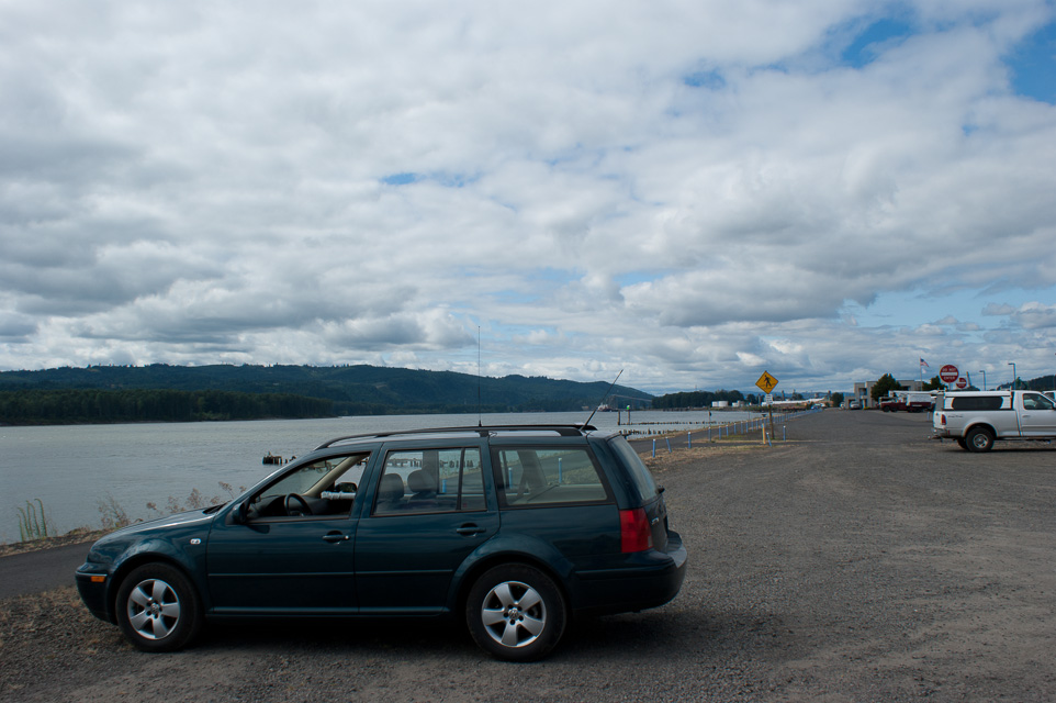
This is a good operating location for reaching Portland from the north side of the CN86-CN85 grid border. I made several unscheduled contacts on both 144.210 and 432.100 USB and CW.
This is along I-5 on the Washington side of the Columbia River, where you can watch lots of recreational boats, big river barges and railroad traffic. See also Kalama Gridline CN85.
There is a park and playground just north of the grid line. The park has clean restrooms.
Driving directions:
Southbound I-5: Take the Oak Street exit. Go right on Oak, then left (south)
on Hendrickson Drive.
Northbound I-5: Take the Robb Road exit and go left under the freeway.
Go right on Toten Road, jog left and then continue north on Hendrickson Drive.
You need a GPS to mark the exact grid line.
Kalama Gridline, CN85nx89
| 45.999900, -122.847500 |
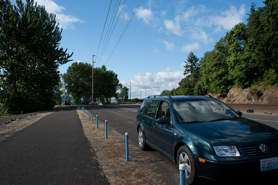
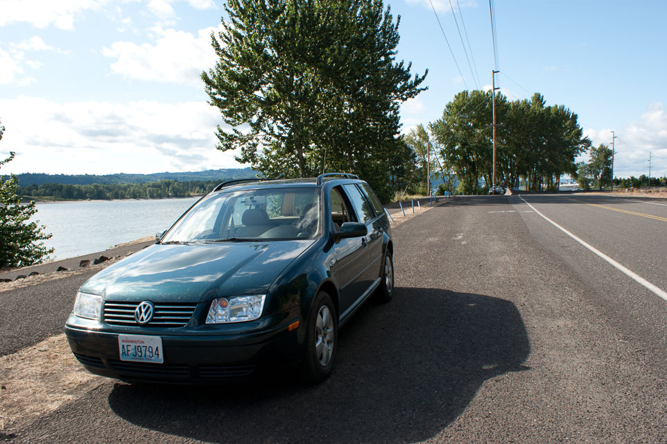
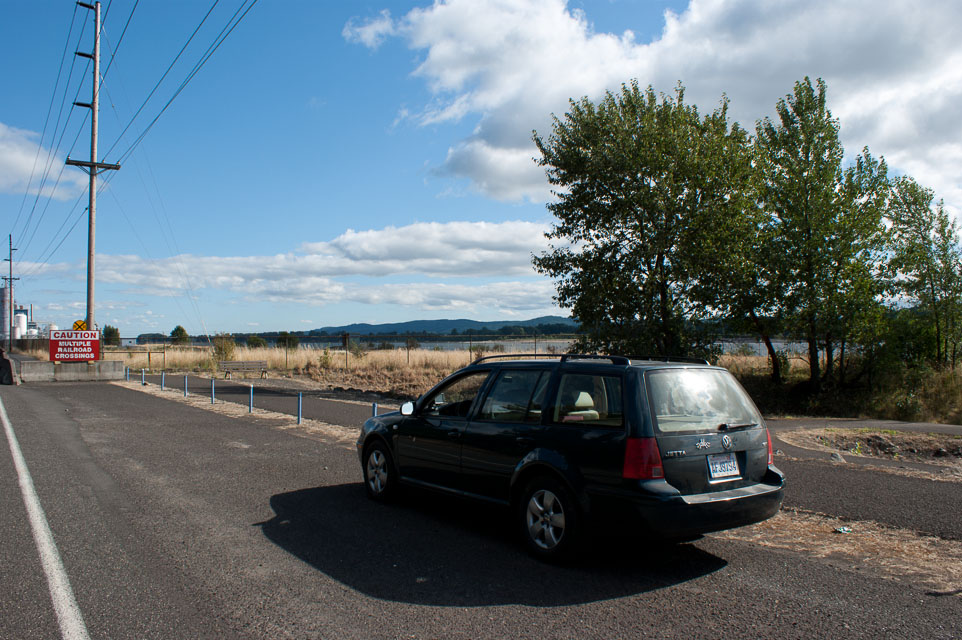
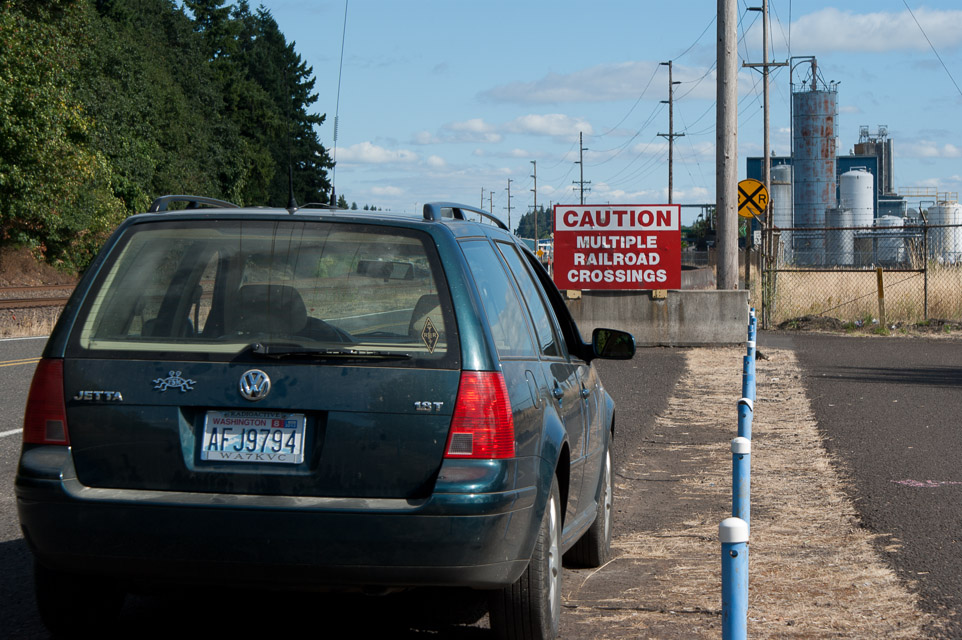
This is a good operating location for reaching Portland from the south side of the CN86-CN85 grid border.
This is along I-5 on the Washington side of the Columbia River, where you can watch lots of recreational boats, big river barges and railroad traffic. See also Kalama Gridline CN86.
There is a park and playground just north of the grid line. The park has clean restrooms.
Kalama Ridge, CN86na93
| 46.015300, -122.834200 |
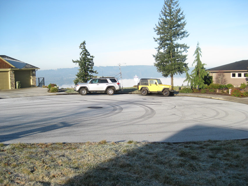
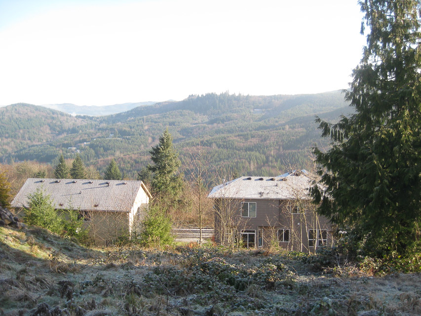
This site has excellent north-south coverage on all bands. There are several possible operating locations. This is filling up with homes over the last few years, and so will be available for a limited time.
Driving directions: - I-5 exit 30, merge onto W Frontage Rd
- W Frontage Rd turns left and becomes Elm St
- Go up hill on Elm street to "T"
- Left onto N 4th St
- Take second right onto Geranium Street
- Geranium St turns left and becomes Taylor Rd
- Up hill and turn left onto Horizon Drive
- Take the first left onto "Eli Avery Ave" to cul de sac
Skyline High School, CN87xo53
| 47.599052, -122.035017 |
I parked at Skyline High School in the city of Sammamish, with an open view in most directions. I checked into the PNW Weak Signal Net on the regular Sunday morning schedule at 8am. Made three contacts: Kirkland (12mi), Monroe (CN97au, 21 mi) and Woodinville (CN87ws, 15 mi).
Here are notes and to-do list of the visit:
- It worked very well to have an antenna switch to easily compare the 2m beam with the two little mag mount whip antennas.
- Figure out ergonomic mounting of FT-480R radio on passenger seat. The front panel needs be tilted up, and the radio was precariously balanced.
- Find a better antenna mast mount then the driver's window.
- Measure radio current draw; estimate car battery life.
- Fix powerpole connectors, they were prone to intermittent connection.
- Always sign as "portable" so that people won't steer their beam to the wrong (home) location.
- If you sign as "mobile" then Net Control assumes you are moving and puts you first in net rotation. You should say "portable" if you're parked and stationary.
- Get QRZ.com databse on the laptop to look up antenna bearings.
- Buy one more antenna switch so it can be dedicated to portable use.
Cougar Mtn Park, CN87wm68
| 47.533355, -122.113587 |
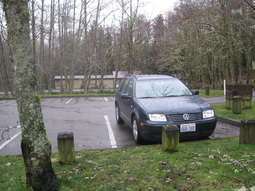
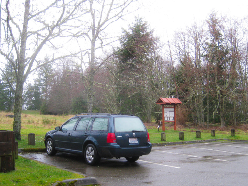
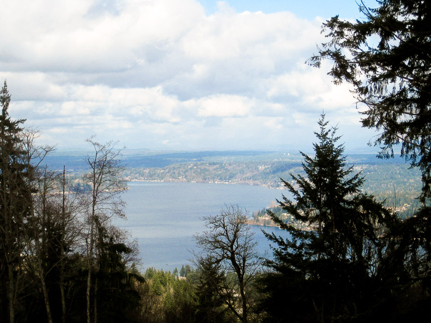
I parked at the old anti-aircraft site on the peak of Cougar Mountain, a part of the city of Bellevue. In 45 minutes of trying, no contacts were made on SSB and the regular weak-sign net was not heard. As far as I can tell, everyone (wisely) slept in this morning as a result of advancing the clocks today for Daylight Savings Time.
But my time was not wasted. I tested the SWR using a "new" VHF swr meter purchased at the Puyallup hamfest yesterday. The Cushcraft 3-element beam measured 10:1 while the 5/8 magmount whip measured 1.2:1. This would explain why I can hear people better than they can hear me. Now I know what to work on next!
Here are notes of the visit:
- Park gates are apparently open 24-hours, even though the sign said 8am to dusk.
- Ranger house is occupied full time.
- A nice ranger guy came over to ask what I had going on, under the pretext of emptying the garbage can next to my car.
- Ranger suggested hiking from the parking lot a very short distance west to the "Million Dollar Overlook" for direct line-of-sight communication.
- Curiously, the peak is in a cellphone radio hole. Almost no signal strength.
- Simplex contacts on FM had very poor coverage in the nearby valley or flatlands. But I had good signal into Shoreline area of Seattle.
My white PVC antenna mast leaves room for improvement:
- It is raining heavily outside
- Water runs downhill
- My car window is open
- I'm holding a plastic water pipe vertically up through the open driver's window
- Water runs down the outside of a water pipe as easily as the inside
- Water sticks to a pipe until it's diverted
- I'm holding a plastic water pipe
Skyline High School, CN87xo53
| 47.599052, -122.035017 |
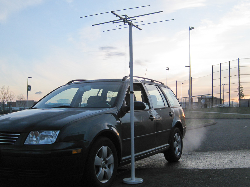
Finally, a very successful trip to a nearby hilltop. The transmitter strength was excellent and several people had no problem hearing me.
My antenna tuning yesterday was very helpful. The 3-element beam was very sensitive to the exact adjustment to the gamma match. The final placement for 144.240 MHz was 54mm (2-1/8 inch).
Rod WE7X joined me in the parking lot and setup his 3-watt 817 transceiver, battery, tripod, 2m 3-elt beam. He could receive well but others could barely hear him. Perhaps his equipment needs adjustment, or possibly the nearby cyclone fence was affecting performance.
Things for my checklist:
- No bathrooms on most hilltops. Esp along a busy road by a popular high school. Don't load up at Starbucks along the way.
- Tune gamma match for maximum forward power. This may or may not coincide with minimum SWR.
- My transmitter's power output (Yaesu FT-480R) is very sensitive to antennu tuning. It varies from 5w to 15w across small adjustments of gamma match.
- My transmitter's frequency display reads too low by 400 Hz. For example, the proper dial readout is 144.240.4.
- Get a magnetic door sign to look official. Rod WE7X suggests "Amateur Radio Bear Tracking".
- It would sure be nice to have callsign lookup available.
Pine Lake Estates, CN87xn49
| 47.580694, -122.043798 |
Dist from coffee pot: 60 feet W
I wonder how things sound from my driveway? The results are in: Things sound not quite as good as other places; I made a marginal contact to Stanwood and I was not heard in Portland. Today's propagation was fluctuating and Portland stations briefly rose above the noise floor but not enough to complete a contact.
Interestingly, another local station coming in weakly was using vertical polarization so I swiveled my beam from horizontal to vertical but got no improvement. However, conventional wisdom suggests a large improvement, 30 dB, can be obtained by matching receive and transmit polarization. It didn't do much for me, so perhaps the signal rotates through the path, or my beam was too close to the car and other objects.
I want to try this location again with my new roof-mounted beam and see what happens. Also I'm still having trouble with my cheapo mast stand on anything but level pavement. Note to self: build a drive-on mast stand base.
Mirrormont, CN97al01
| 47.464054, -121.999676 |
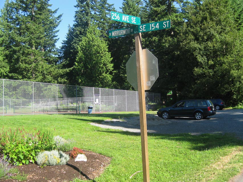
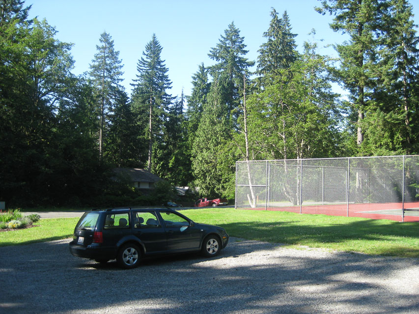
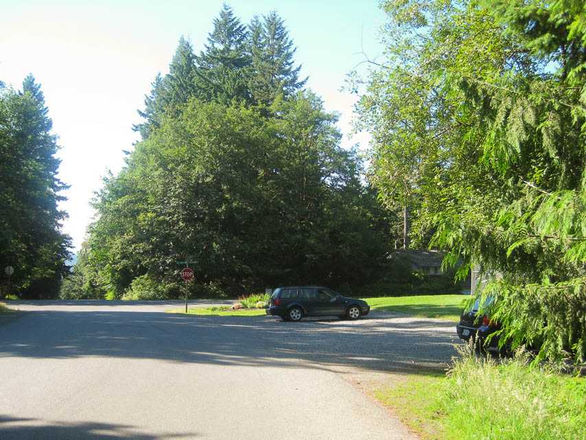
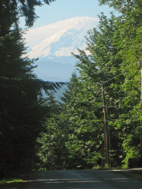
On the south side of Tiger Mt is a nice hill with good exposure. The country club parking area by the tennis courts are the extreme edge of CN97. The grid square CN87-CN97 dividing line runs N-S between the two courts.
For my first time ever I had solid contact in Portland, Oregon (K7SMA, KC7I). This residential area is loaded with tall trees and a warm southern exposure toward Mt Rainier. I met Kathy a neighbor of my good friend WE7X, and Linda a local pea patch gardener.
Highland Drive, CN97an10
| 47.545660, -121.989583 |
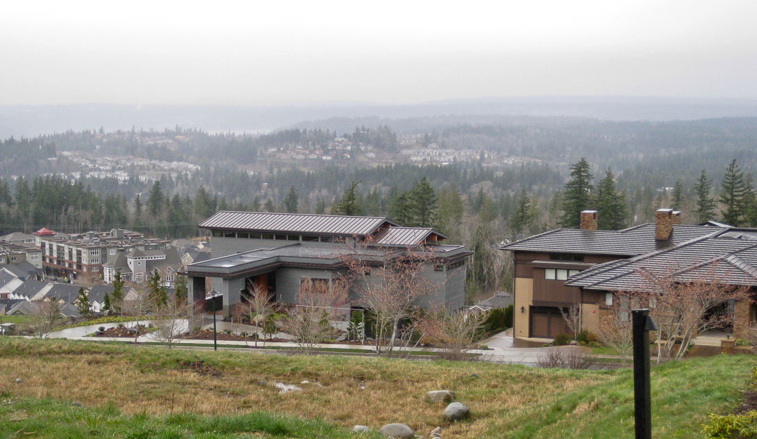
My goal this trip is to get out of CN87. It so happens the border with CN97 is about two miles east. What can we find nearby?
I think I found the highest public roadway on the Sammamish Plateau at 1,022 feet (317m) among the new million-dollar homes above Highland Drive. It has a stunning panorama of Mt Baker to the north and Mt Rainier on the south. At least, it would when it's not raining and dripping everywhere.
I made five contacts including some new hams, all with good reports in the region. I heard some stations in Portland but they were buried in the noise floor and they could not copy me. Net Control said the conditions were quite bad, so I was pleased to hear Portland at all.
The eastward path was dead. Nobody could hear from Spokane at all. But I had some trees and a bit more hill behind me to the east, so I wasn't expecting anything that direction.
More things for my checklist:
- Use the iPhone's Compass app to find magnetic North.
- My lamppost tripod is unreliable on the slightest slope away from horizontal. Worse yet, it's round and rolls easily given the slightest chance.
- Look into building a mast platform that goes under the front wheel.
- It's nice to run coax through the door jamb instead of the window. Then I can close the window completely and stay warm and dry. Maybe. A drip loop is required or else the water follows the coax inside.
- There is a PNW VHF S spreadsheet online as a Google doc.
It provides a useful summary of the usual suspects:
http://spreadsheets.google.com/pub?key=0AohgbnNuj9MscDRQdkRhRGNSazFwX0thYnpzV29lRkE&gid=0 - I met G4AMD/7 on the air and we had a great chat about VHF propagation. There are a lot of interesting things that can happen to VHF / UHF signals, and there is a lot of fun stuff to learn.
Mission Peak, CN97sg69
| 47.287648, -120.445594 |
You can drive almost to the summit of Mission Peak. Surely there is some spot along the ridge near the top that has good propagation east and west.
Smith Creek Viewpoint, CN86wg50
| 46.252708, -122.118626 |
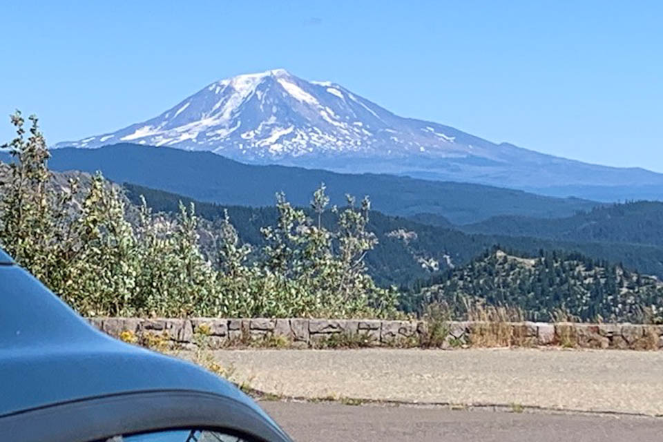
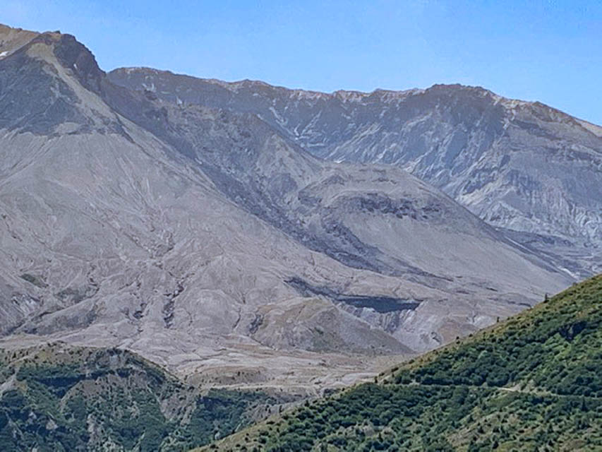
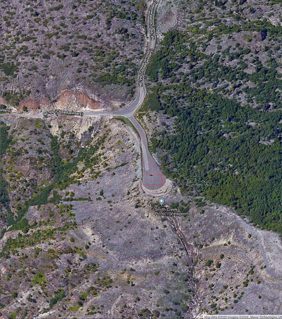
Smith Creek Picnic/Viewpoint is a scenic overlook on the SE side of Spirit Lake alongside Mt St Helens, in the Gifford Pinchot National Forest. It's close to the Windy Ridge location and worth stopping for pictures.
With a large parking lot and vault toilet, this is a wonderful place for a picnic, as the name says.
Driving directions: Approach from Randle to the north, or Cougar from the south.
NF-99 is closed during the winter.
Restrictions: A recreation pass may be needed.
CN71-72 Line, CN72xa30
| 42.000000, -124.052051 |
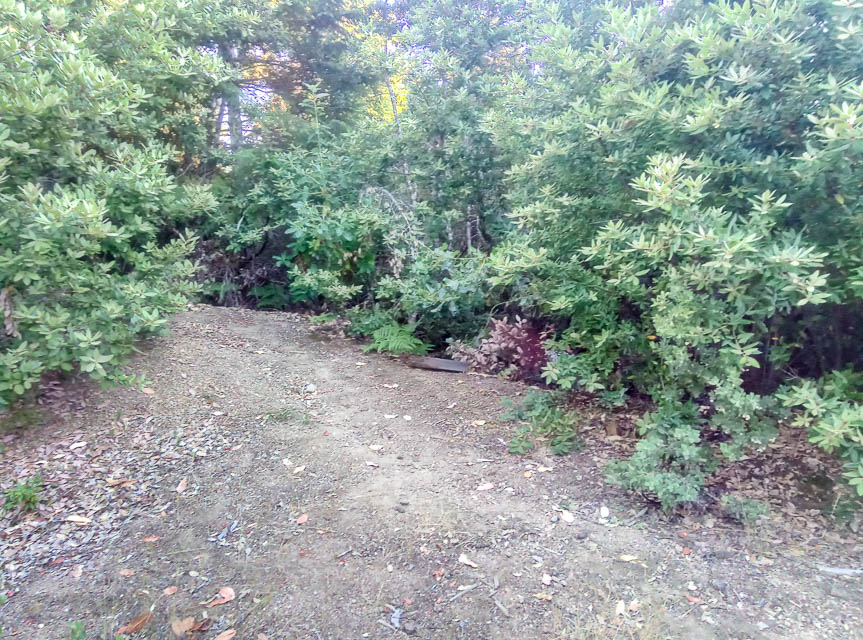
This is a wide spot on a forest service road on the Oregon/California border. The ridge has good takeoff angles to the east and south.
Spot is pretty overgrown and not traveled on, but there is still room to get off the road.
When you're in this area, check these:
Driving directions: Accessed from Winchuck River Rd. Google map
CN71-72 Peavine Ridge, CN72wa10
| 42.000000, -124.158333 |
CN71-CN72 grid line in the Rogue River Siskyou National Forest with an outstanding view East.
150' of coax is needed if you intend to park at the base of a short hill and have the antenna on top of the hill.
High clearance vehicles recommended.
Restrictions: Be wary of bears. We saw large pawprints in the road.
Private Home, CN74xw73
| 44.930974, -124.023875 |
Driving directions: 4645 Beach Ave, Lincoln City, OR
Restrictions: Private residence owned by Barry's non-ham friend; no access.
Try nearby Taft Park instead, CN74wx83je.
Champoeg State Park, CN85ng40
| 45.251724, -122.876764 |
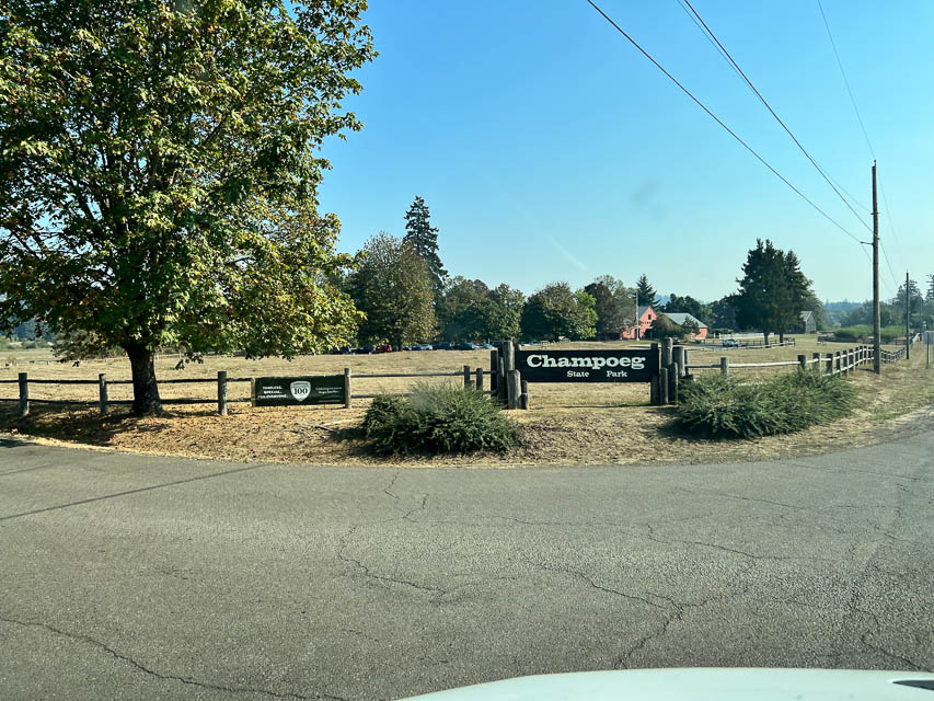
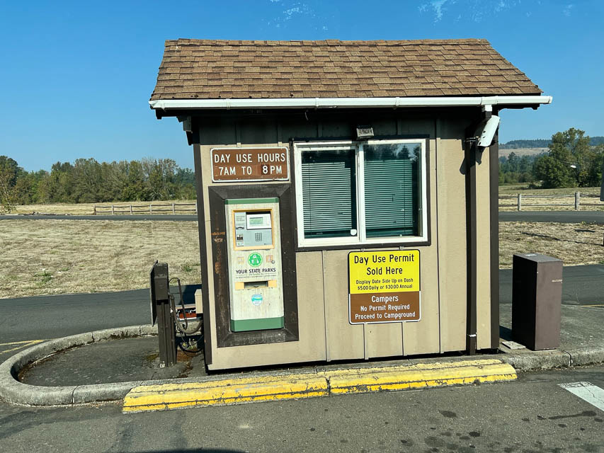
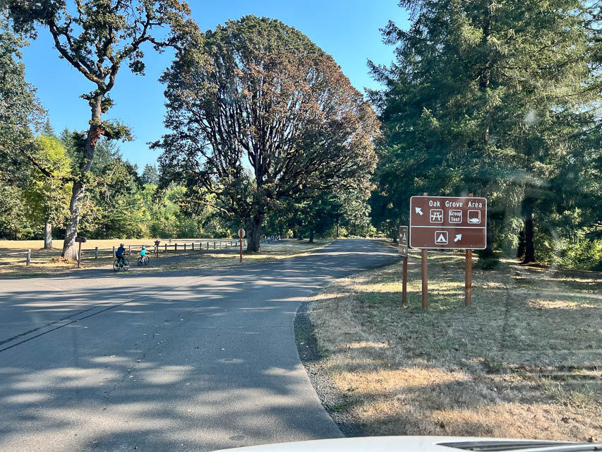
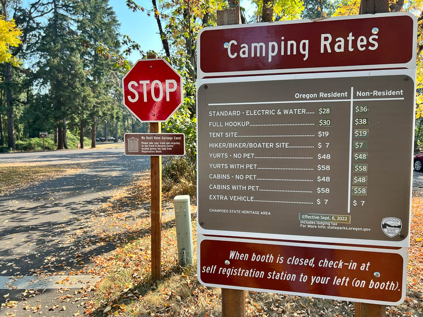
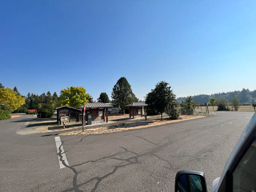
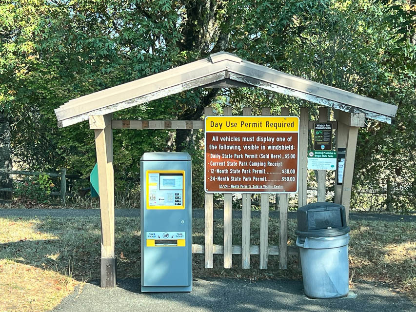
Champoeg State Park is a wonderfully large and clean park south of Portland. Although it's along a riverbed, it looks to be far enough from hills for an acceptable horizon.
See the Oregon State Parks website for info.
Champoeg State Heritage Area features a rare combination of history, nature, and recreation. Situated south of Newberg along the scenic Willamette River, Champoeg's forests, fields, and wetlands recreate the landscape of a bygone era.
CN71-72 Grid Line, CN72xa30
| 42.000074, -124.051938 |
Mt Hood Lodge Rd, CN95dh46
| 45.319161, -121.710080 |
This road goes up to the Lodge at the base of the mountain. There are pull outs along this paved road and parking on top by the lodge. The horizon is open and great to the E- W- S but tough going N through Mt Hood which rises to 11,260'.
Pelican Butte, CN82wm23
| 42.513388, -122.144565 |
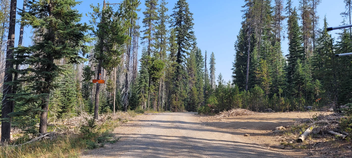
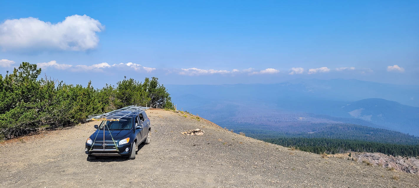
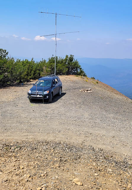
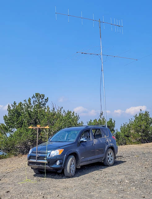
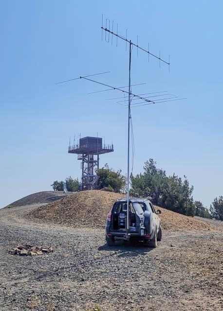
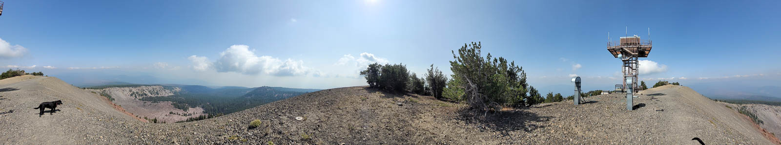
Old fire lookout site on top of an 8000' peak. Amazing views without the smoke, and great takeoff from all directions. It's a great feeling being the one of the highest peaks in the area. Matt KC7OOY worked 320 miles to Mt. Diablo on 2m FM.
Well worth the drive from Hwy 140 if you have time.
Driving directions: From Highway 140 turn north onto NF-3651 towards Cold Spring trailhead.
Drive approx 10 miles, then right at the sign to Pelican butte.
Road ends a little past the turn, at Cold Springs trailhead.
Then about 4 slow miles to the top.
Good gravel road until you turn off for the last 4 miles. From there is it pretty rocky and slow with frequent switchbacks. A 2wd pickup or small SUV should be okay as long as you pay attention and avoid rocks in the road.
Restrictions: Be prepared for mosquitos.
Be prepared for snow drifts as late as July and for cold nights,
even in the summer.
Area is closed in the winter, and access via snow machine only.
Be prepared for cold and windy weather.
Watchman Overlook, CN82vw96
| 42.945486, -122.169444 |
Spencer Butte Trailhead, CN83kx75
| 43.980381, -123.102061 |
Spencer Butte is a nice peak for VHF, but the closest you can drive is the Trailhead parking lot. There's a decent takeoff NW to N, but being right on the hill there's no other viable direction.
Hale Ridge, CN95xg93
| 45.265493, -120.000020 |
Here's another spot on the CN95-DN05 grid line with an open horizon. Scouting is needed.
CN95-DN05, CN95xb99
| 45.081669, -120.000020 |
This is a remote spot on the CN95-DN05 grid line with some altitude and open horizon with no trees. Scouting is needed.
Oxhead Ridge, CN95xa94
| 45.017044, -120.000155 |
Oxhead Ridge is right on the CN95-DN05 grid line with good altitude and open horizon to the W-N-E. Some scouting is needed to see if you can drive a few hundred yards south to the highest point at 4800' for the completely open horizon.
Agency Hill, CN92ap73
| 42.639490, -121.935910 |
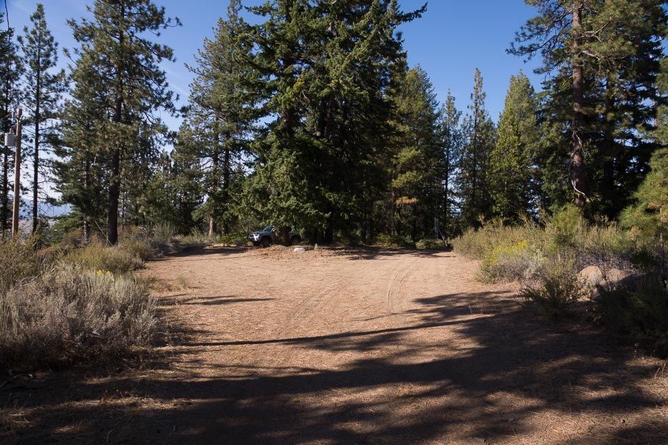
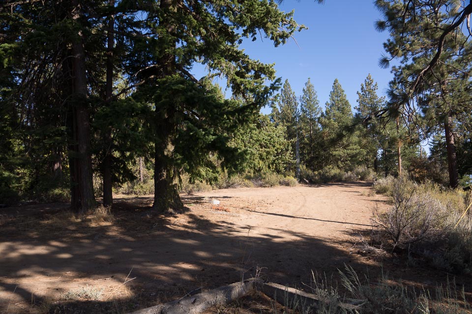
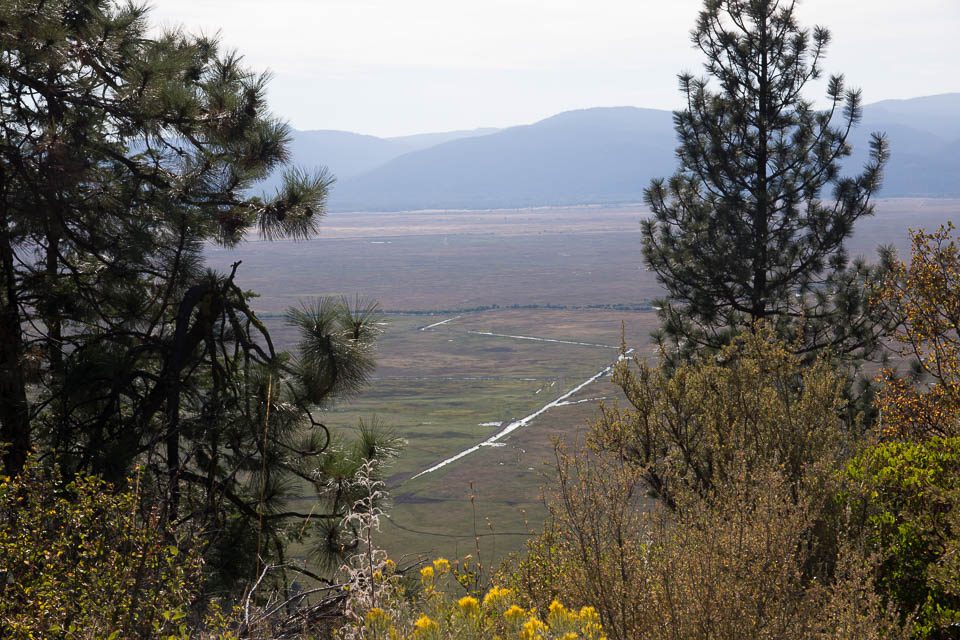
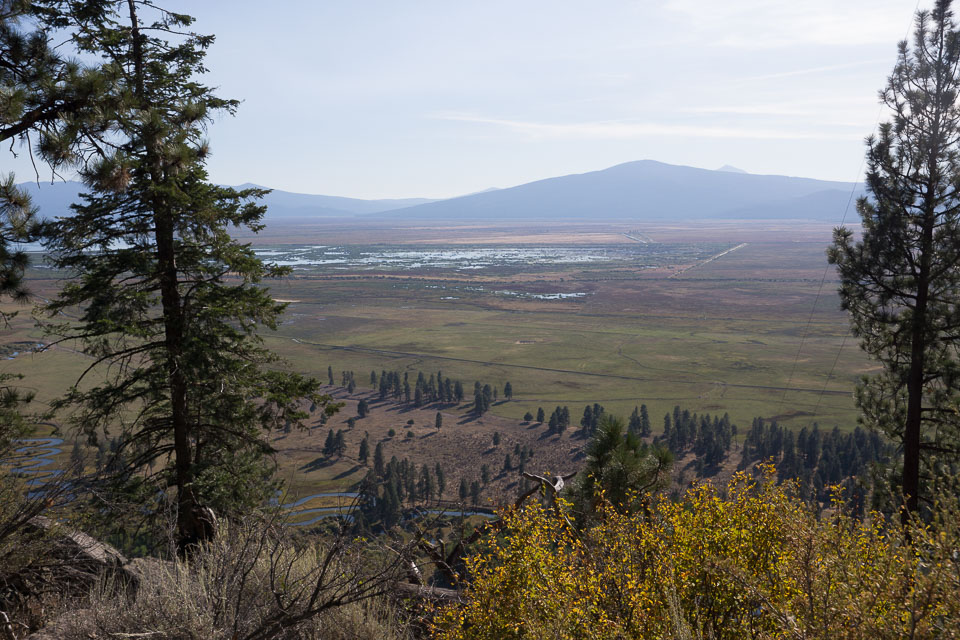
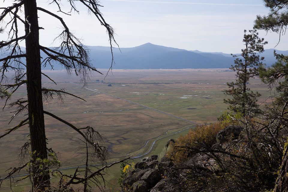

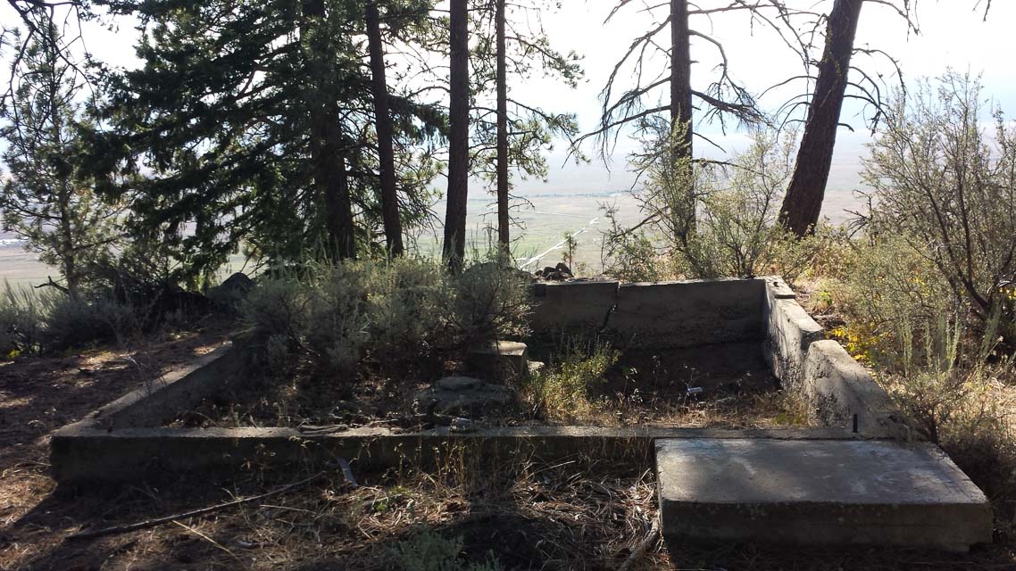
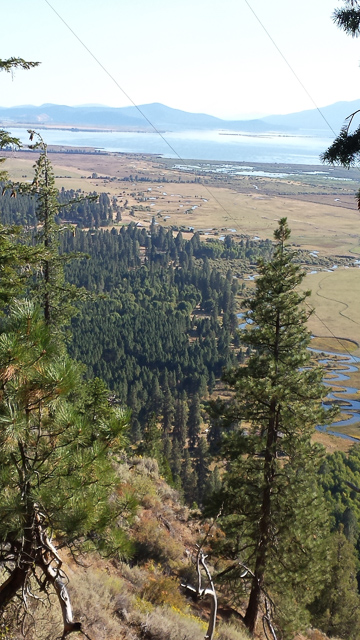
Agency Hill once hosted a lookout tower, which has long since been cleaned off. This ridge boasts an excellent view in all directions. However, there are cellphone and repeater transmitters up here, too. It is not far from CN82 to the west.
Grass Valley Cemetery, CN95oj41
| 45.380880, -120.792410 |
Grass Valley Cemetery is not in a valley at all. This is a high point with quick access from Hwy 97. It's south of Goldendale and north of Madras and Bend, OR.
Wave Lane, CN75xa90
| 45.003286, -124.000517 |
Wave Lane is a side street in a residential area, just inside CN75.
The Knoll, CN75xa93
| 45.014600, -124.004070 |
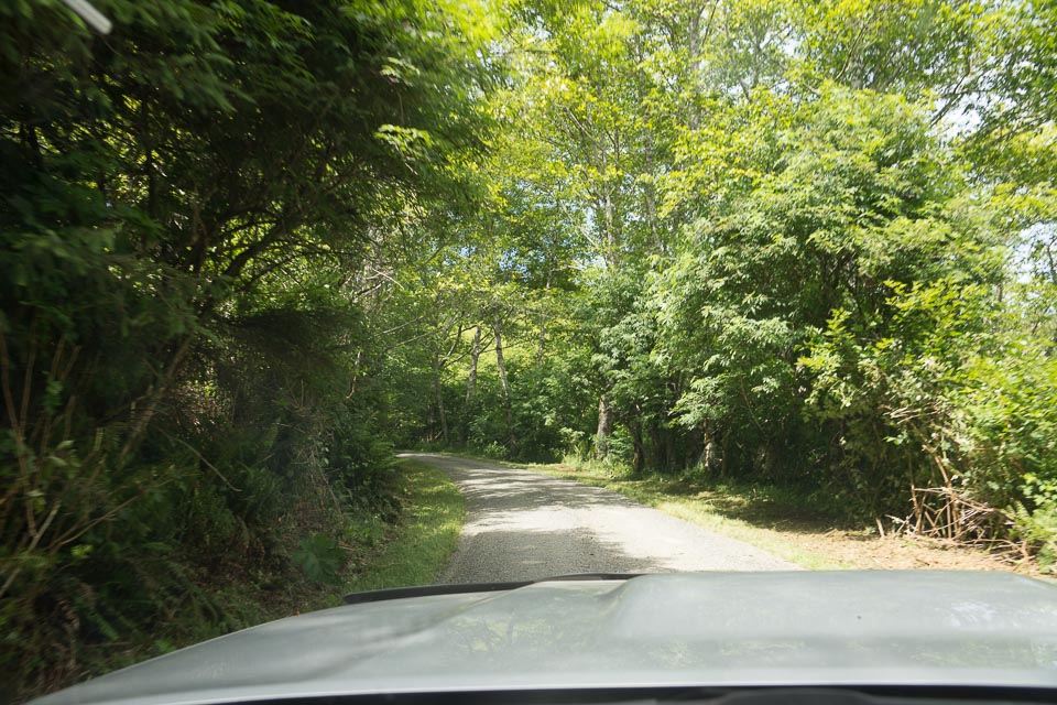
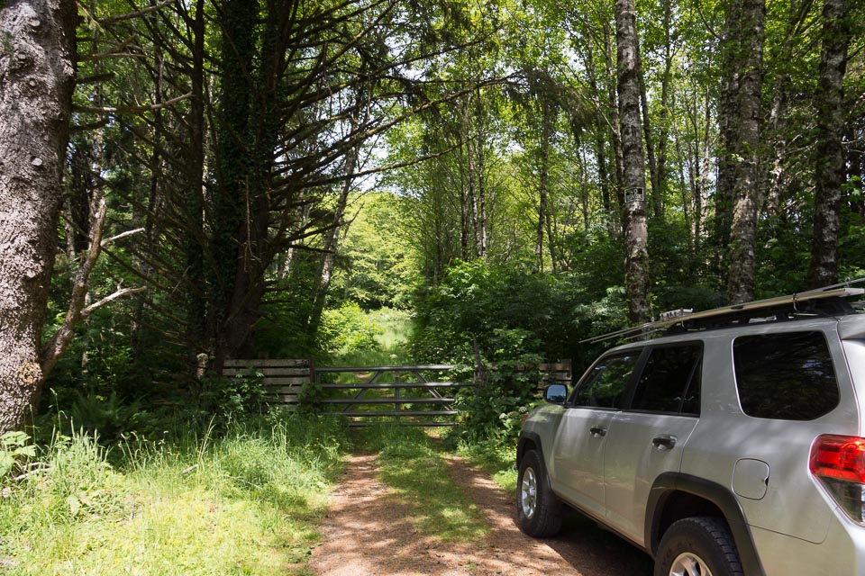

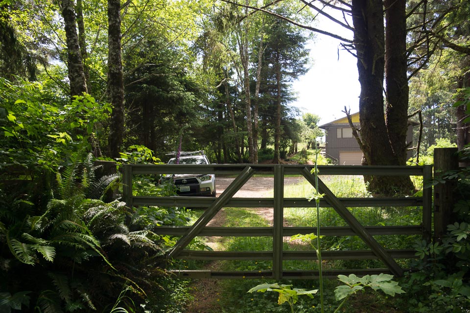
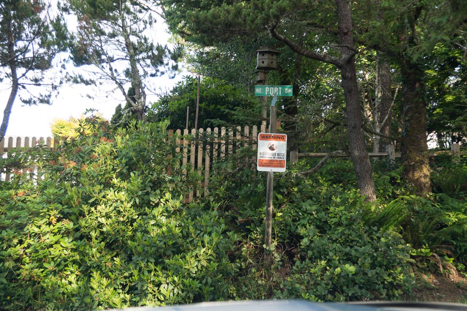
"The Knoll Open Space" offers hiking access to a very promising hilltop. This is higher than almost everything else in the miserable sliver of dry land in CN75. This would be a great spot for portable operation but you'll have to hike everything up to the top.
The Knoll is a hilltop purchased by Lincoln City in December 2014 from a developer in distress. It will eventually be developed into a park with foot trails, but as of June 2015 is gated off to traffic and is overgrown.
Driving directions: The turnoff is opposite the entrance to Roads End State Park.
Restrictions: No parking, so arrange for someone to drop you off with your equipment and then park a half mile down the hill at sea level. Trailhead is among expensive homes with an active neighborhood watch.
Cascade Head, CN75xb93
| 45.056881, -124.003563 |
Cascade Head is a hike-in hilltop and viewpoint in CN75.
Photos: AllTrails.com
Managed by: Nature Conservancy
Restrictions: Closed to all hikers and visitors, Dec 2021.
Taft Cemetery, CN74xw74
| 44.935870, -124.023220 |
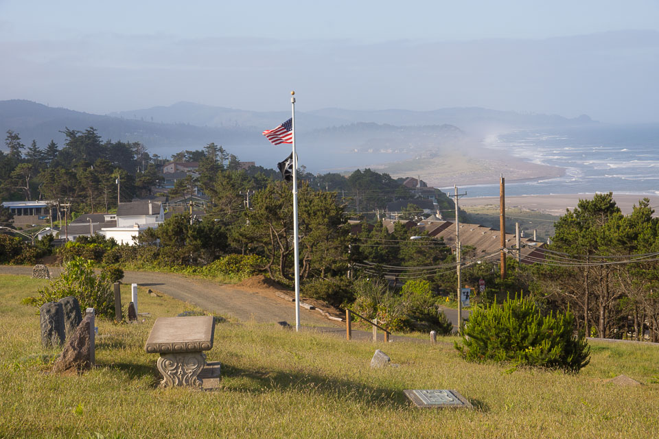
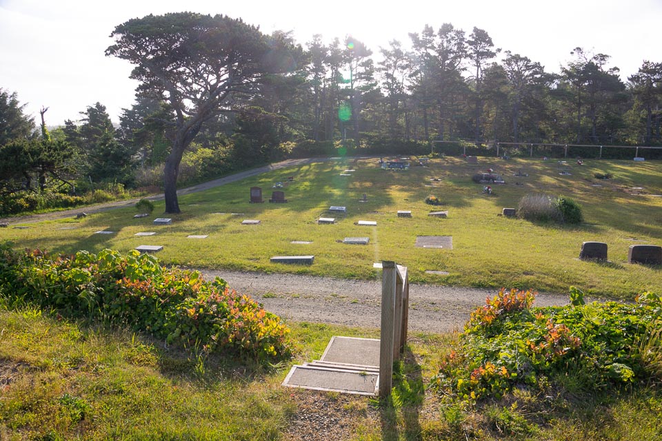
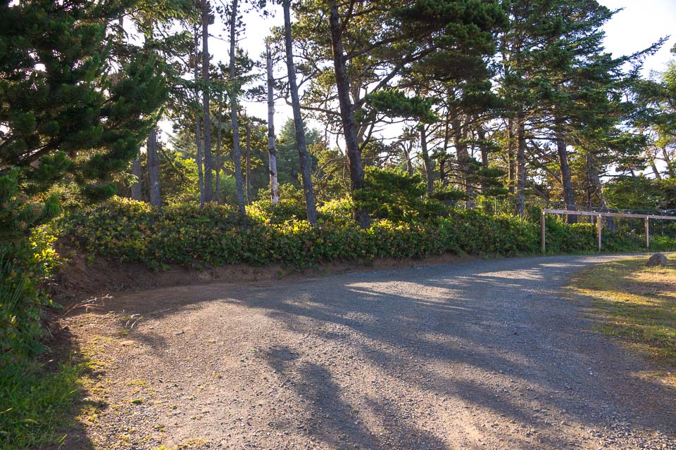
This is a local and secluded high spot in the middle of Lincoln City along Hwy 101. It offers spectacular views of the ocean and coastline, with a tantalizing chance to get signals over some of the coastal mountains.
Driving directions: On a blind corner on Hwy 101, turn into the driveway across from the sign for "Inn At Spanish Head".
Restrictions: Hours of operation: Summer 8am - 7pm, Winter 8am - 5pm.
For cemetery information or questions call 541-921-8468.
Kenyon Mtn, CN83ca60
| 43.002136, -123.779354 |
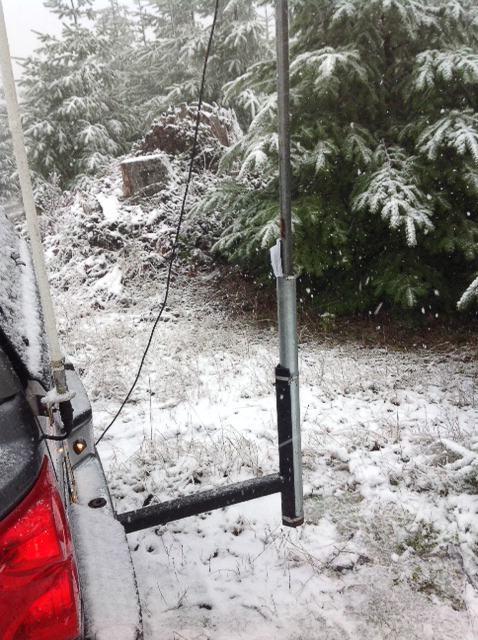
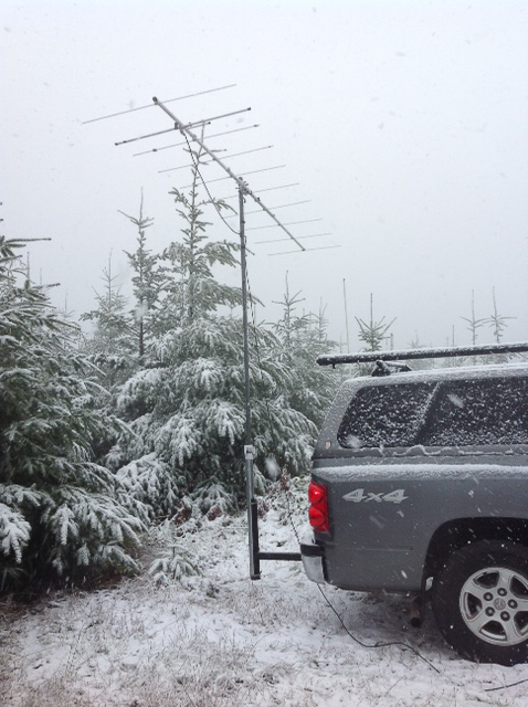
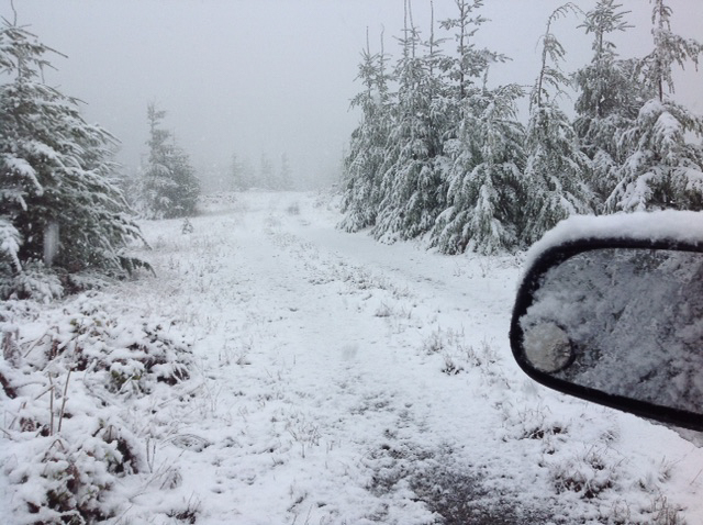
Kenyon Mountain is also called Signal Tree. Photos by Phil KD7ZD in the Spring Sprint for 220 MHz on April 13, 2015.
Shaniko, CN95na96
| 45.025860, -120.837020 |
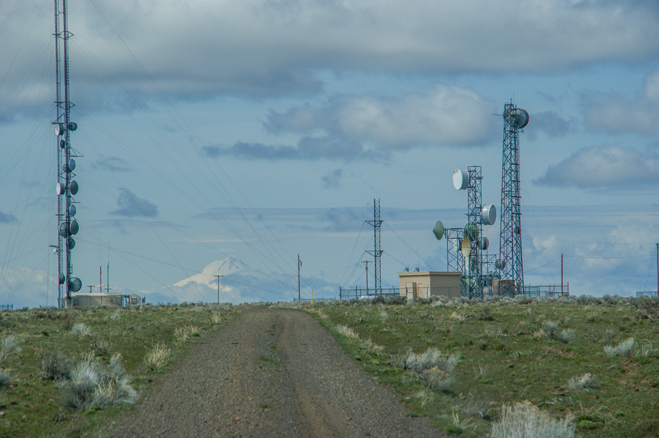
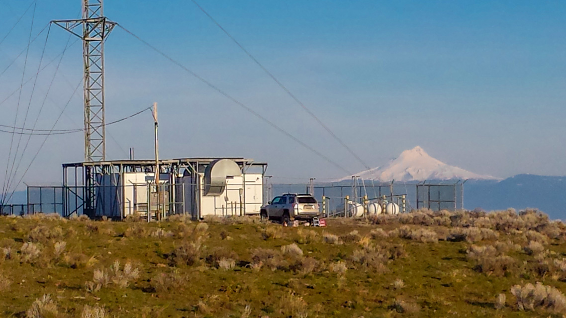
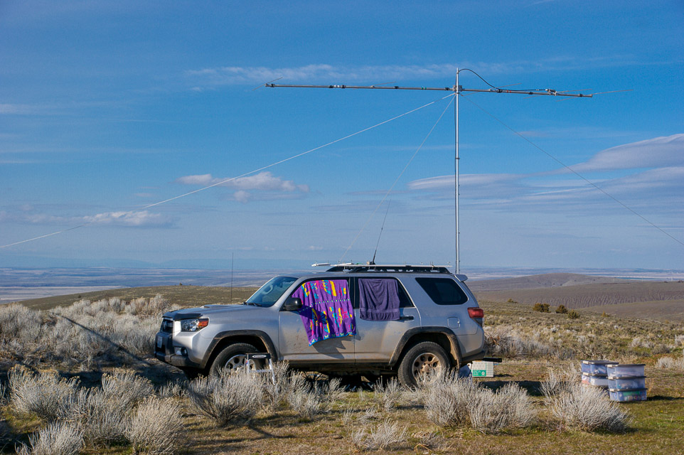
Hwy 97 passes through the city of Shaniko, a local high point for many miles around. The views are stupendous. This is a great place to pull off and find a place to operate. Rod WE7X and I visited the radio compound and got excellent signals into Portland and Seattle. This is gated so you do need to know someone to get in; however there is lots of open range around too.
Driving directions: Take Hwy 97. Find a spot somewhere south of Shaniko.
Restrictions: The radio complex is gated.
Long Butte, CN94ie61
| 44.173450, -121.277790 |
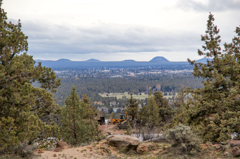
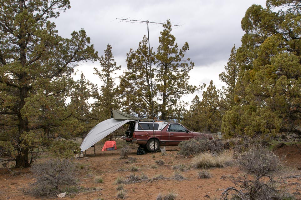
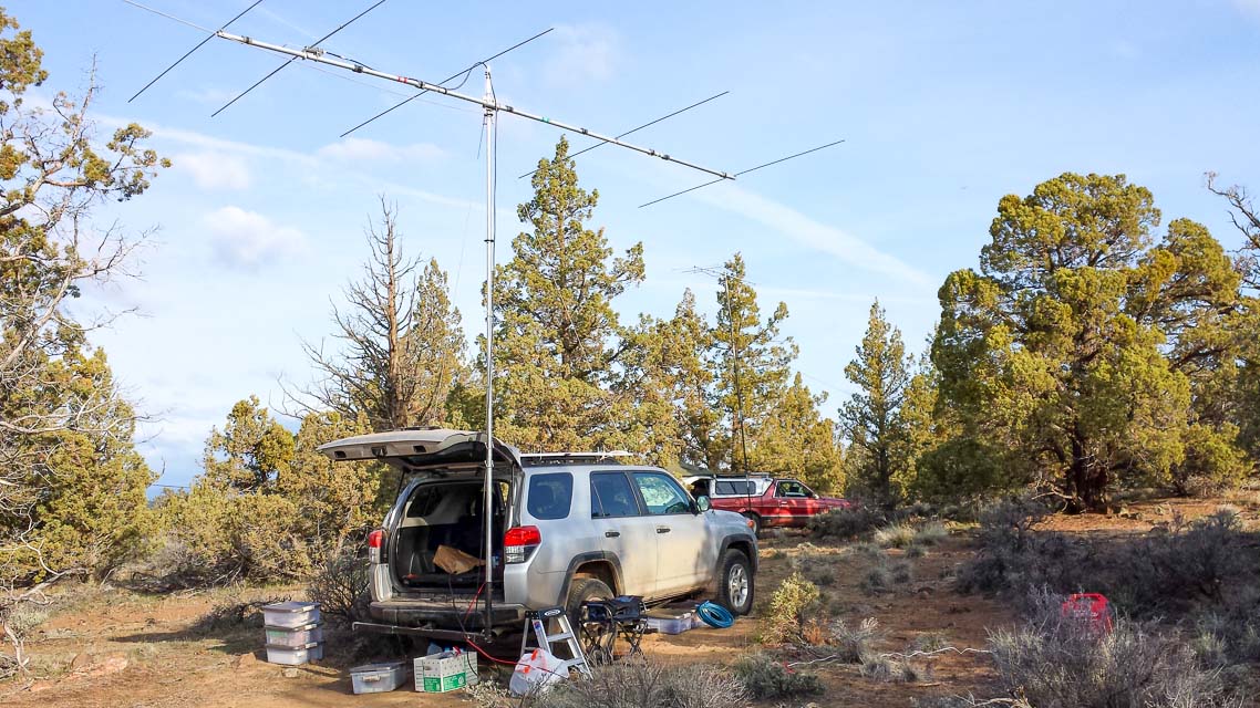
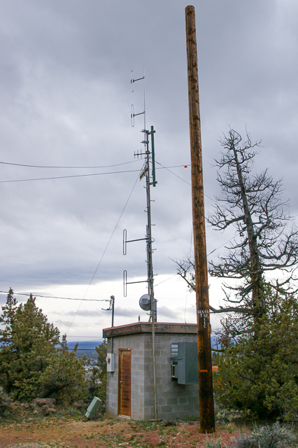
Long Butte is a convenient stop from Hwy 97 between Bend and Redmond. We had the best paths into Portland and Seattle from here, largely because it's closer to the metro centers than points further south.
The modest altitude made this spot more accessible and comfortable in winter weather than the mountain peaks in April 2014. At night there are wonderful views of Bend's city lights in the distance to the south.
There are several antenna structures. The large frame construction at the highest point has some dishes and several cellphone arrays; it didn't bother us on the air. The nearby small ham repeater had some interference on 2m but it was infrequent.
Driving directions: Best approach to Long Butte is along Limestone Ave. Other routes have poor or undeveloped roads. Although the area is fully developed for residential use, there is plenty of tree cover for a reasonably secluded spot to camp.
Flat Top Mtn, CN93nd49
| 43.164543, -120.881015 |
A good place in CN93: relatively close to civilization, but not too close. 4 miles from the highway, of which 3 miles are easy dirt roads. The last mile is a tough climb requiring 4x4 low and high clearance. You can get to the large meadow, with the powerline in your back, and an incredible view to the east.
Swampy Lakes Sno Park, CN93fx17
| 43.989808, -121.567736 |


This is a convenient pulloff with a large parking lot. It's used heavily in winter and mostly empty after the snow is gone.
We had good cellphone signal here, 3 bars. There are two vault toilets.
Kapka Butte Sno Park, CN93ex65
| 43.979980, -121.611322 |
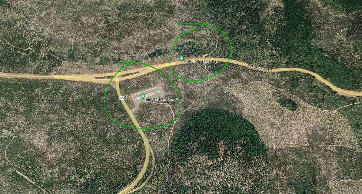
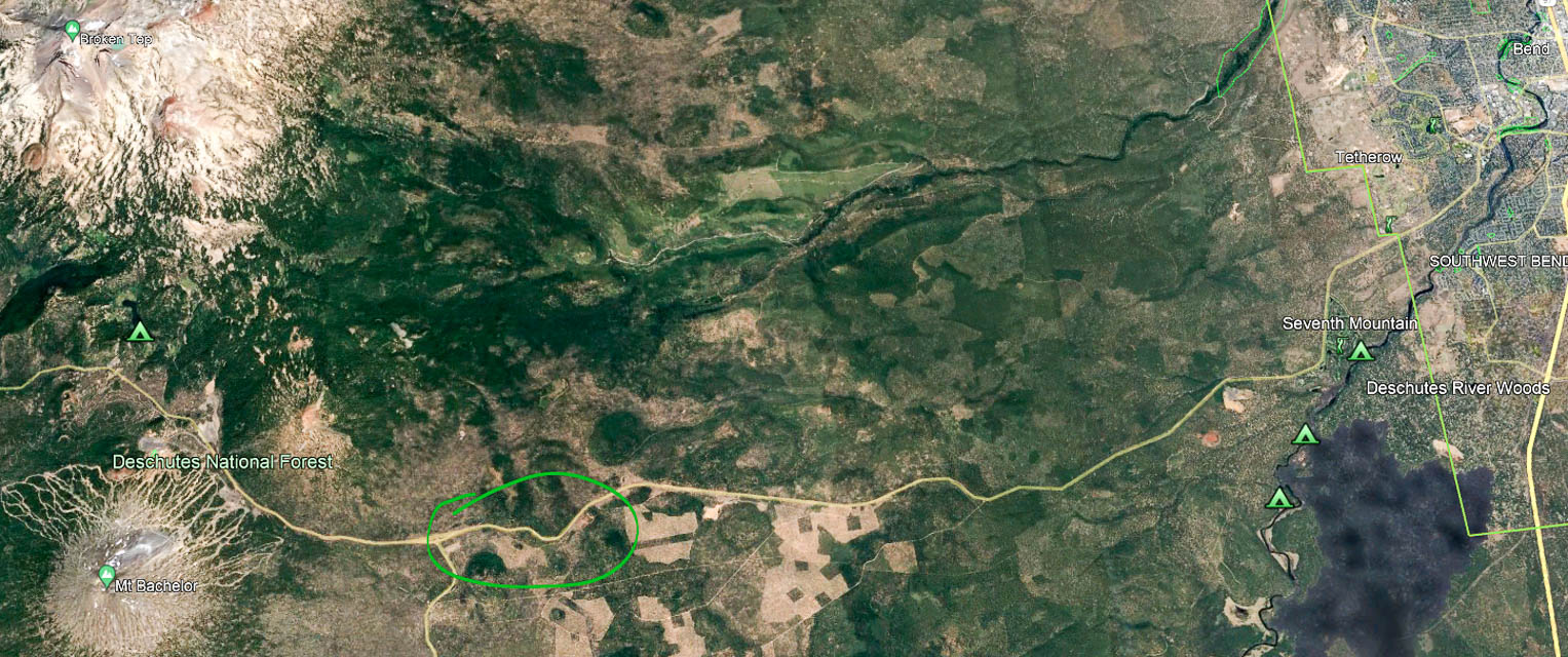
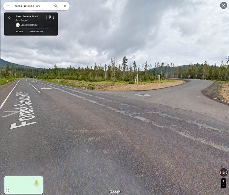
Paulina Peak, CN93iq95
| 43.689300, -121.254630 |
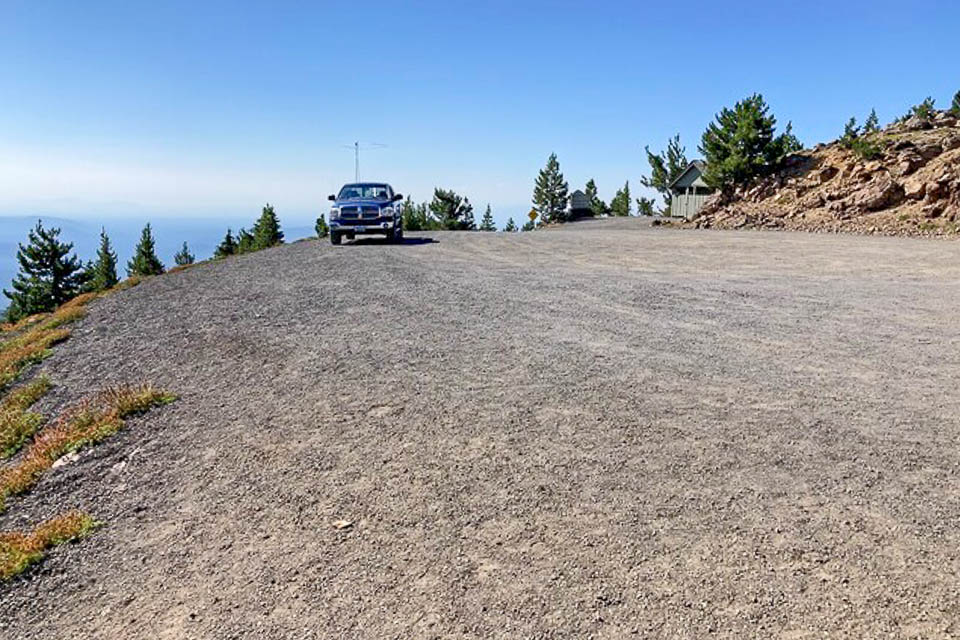
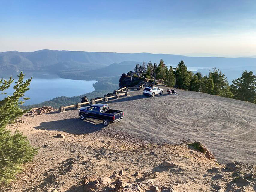
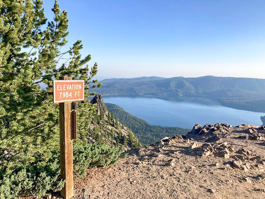
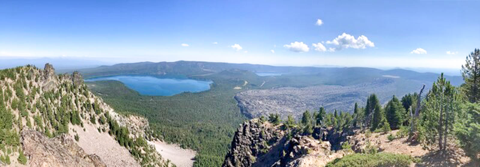
This is one of the premier operating locations in Oregon state.
Paulina Peak is at the top (and I mean the VERY TOP) of the Newberry Volcano. It offers a grand overview of the Newberry Caldera, the south and west flanks of the Newberry Volcano, the Cascades, the Fort Rock Basin, and much of central Oregon. On a clear day, the Cascade Range is visible extending into California (Mt. Shasta) and Washington (Mt. Adams).
- Map of Newberry Caldera Area

- Map of Newberry National Volcanic Monument
- Washington State University Quadrangle Map
- USGS Map of Newberry Volcano area
- USGS Newberry National Monument Website
I recommend allowing time for hiking around the trails.
Recreation Fee Site: A check-in station on Paulina Lake Road will sell you the required park pass. If you have a permanent pass, no need to stop.
Buy your park pass online here: www.fs.usda.gov
Call the ranger station in advance to confirm the peak road is open. It is closed winters, typically Oct - Apr. You can also check online, but I would confirm with a call.
In the web info it is stated a park pass is required to park there. During my 8 hours there I did not see anyone check for passes. I parked all day without issues. I did get visits from people inquiring about my activity.
Road Conditions: The Paulina Lake road is a two lane paved in good condition connecting the highway to the forest service area. Speeds were slower due to winding nature of the road.
The entrance to the Forest Service Road 500 up to the peak is not well marked so watch for it on the right. There are signs for the approach but the turn itself you must watch for.
The road starts paved then turns to pea gravel. The ranger station said it is bladed once a year. However, there are washboards throughout the road. Slow and steady wins here. Clearance issues are not a problem, but the washboards will be tough on vehicles not suited for the condition.
The last quarter mile has twists and turns, so be cautious. The road is wide enough to have two vehicles pass with slow speeds in most places but the turns are tough if encountering another vehicle.
At the road where you turn to head up to the peak: if you turn left instead of going to the right, it goes to a nice campground for Paulina Lake, which makes a good base to camp/scout out the area.
Parking Lot: The parking area is big enough for several vehicles and a good turn-around. When I arrived on a weekend in mid-August, there was only one other vehicle up there. During the day vehicles would come and go without a large pile up. A county sheriff patrolled through as well. No issues with long parking. Running a quiet generator should be ok. Be prepared for winds at the parking lot.
There is a vault toilet but no other services. Be sure to bring everything you need, food, water, fuel.
On the air: The noise level was very low. With 100 watts and a Moxon, I did ok. Wth an amplifier it would be much better. FT8 during the day I saw Alaska stations show up and got one QSO completed.
Drop-offs in almost all directions and the elevation makes this a great spot. If you get any propagation at all, you'll do really well here, even with a modest station.
Camping: Paulina Peak is in the Newberry National Volcanic Monument, a major recreation area in Central Oregon. Below the peak there are numerous campgrounds, at least two resorts and two large lakes. The resorts offer cabins, RV parks, showers, etc.
- Mark N7NWP
Driving directions: From Bend, drive south on Highway 97.
- Take the Newberry-Paulina road to the east. It is well marked.
- Go uphill about 11 miles to the guard station.
- You will have to pay a $5 day use fee to park on the peak.
- These passes are available at the entry guard station, or the Ranger Station, or online.
- The road to the peak is opposite Paulina Lake Campground at about mile 13.
- It goes to the right (south).
- This is a one lane road with turnouts.
Restrictions: Pass required. Motorhomes and trailers are prohibited.
Closed for winters at the Sno-Park lot.
Glass Butte, CN93xn13
| 43.556004, -120.072696 |
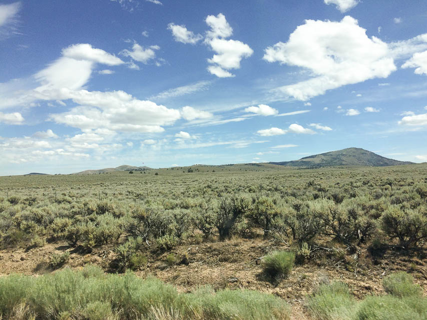
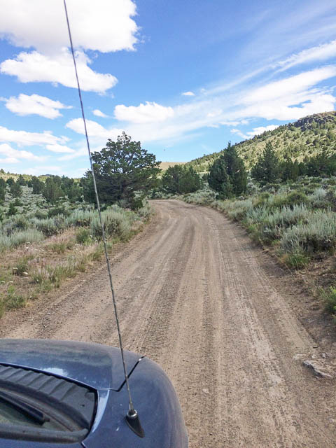
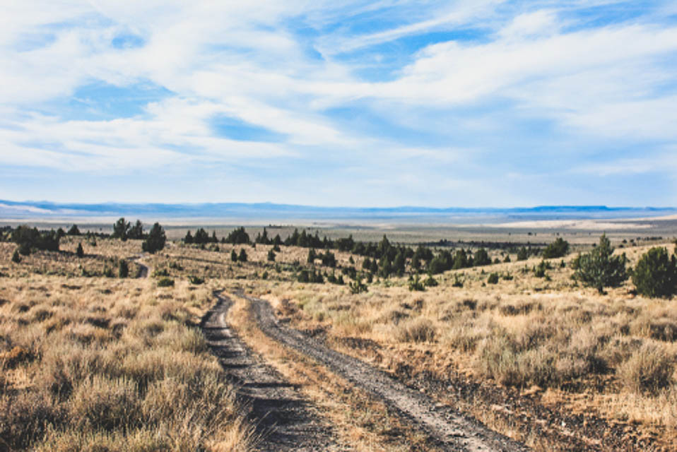
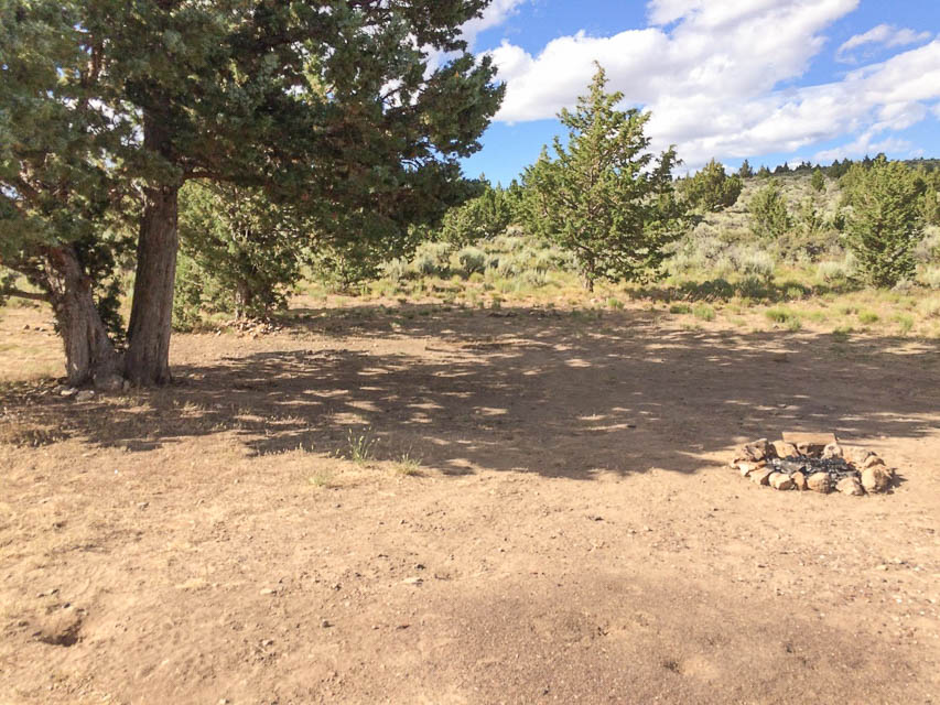
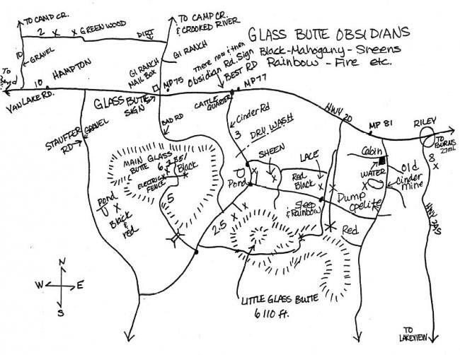
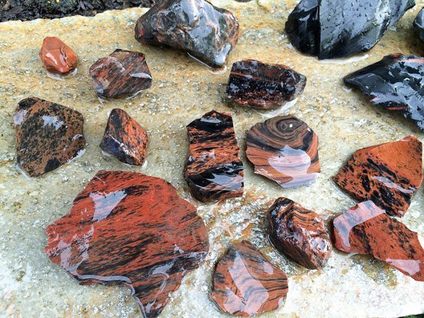
The road to the top was graveled in 2021. K7ATN wrote a SOTA report that it's a drive-up summit; he recommends 4wd.
It's a good rockhounding area. Even if the summit is no good on the air, it's an interesting area to explore. The road up is not for the claustrophobic; there are many steep dropoffs.
- Matt KC7OOY
See my Glass Butte Trip Report for more photos and details. - Barry K7BWH
Driving directions:
From Bend, take Hwy 20 approximately 77 miles East.
Before you reach milepost 77, look for a dirt road on your right side: 43.5866, -120.0210.
Do not turn onto "Glass Butte B-line Road" because it's in poor condition.
Follow the dirt road South for approximately 2 miles.
You’ll end up in a large parking area; this is "Knapper Camp BLM."
Continue 0.9 miles and turn right after the pond (usually almost dry).
Drive 2.2 miles and turn right onto "Glass Butte C-Line Road".
Drive uphill about 4.5 miles to the top. Stay on graveled road.
There are two good saddle points with a large space for a few campers: 43.5509, -120.0657
Restrictions:
Glass Butte and Knapper Camp are dispersed camping, zero amenities.
Be prepared to pack everything in and back out again.
No toilets, no designated campsites.
Knapper Camp Gridline, CN93xn94
| 43.558694, -120.000100 |
Needs scouting.
Alkali Lake Grid Line, CN93xb98
| 43.078221, -120.000100 |
Exactly on CN93-DN03 grid line, parked on a highly conductive alkaline soil.
Old MRA Campsite, CN93qh03
| 43.305704, -120.665461 |
We used to camp out here every Memorial Day weekend, out of the weather with good takeoff. Would recommend driving by to scout at least on the way to or from Green Mountain.
- Matt KC7OOY
Green Mtn Campground, CN93pj32
| 43.386285, -120.723611 |
Green Mtn Campground is a few feet higher than the Rock Pit, and offers picnic tables and vault toilet. It can be windy.
From the BLM website at Green Mountain Campsite: "Featuring panoramic views of the lava flows, cinder cones, and the desert landscape of the Fort Rock and Christmas Valley area of central Oregon, the Green Mountain Campground offers a remote camping experience perfect for photography, solitude and stargazing. Whether using it as a basecamp for exploring nearby attractions like Crack-in-the-Ground and the Four Craters Lava Field, or simply seeking an out-of-the-way site with stunning sunrises and sunsets, visitors willing to brave its rough access road will not be disappointed."
Driving directions:
Arriving from the north will miss miles of washboards.
But if you must come from the south:
- From Christmas Valley, Oregon, head east on the Christmas Valley Highway
- Drive approximately 2 miles
- Turn north (left) onto Crack-in-the-Ground Road and continue for about 5 miles.
- Turn left onto Lava Craters Road, following signs to Crack-in-the-Ground.
- Follow the road past this site for about 4 miles, and continuing for another
3 miles as it turns west and north and becomes the Green Mountain Road (BLM Road 6109-00).
External map on Flickr: flic.kr/p/NGGA7v
Restrictions:
- Open Season Green Mountain Campground is open year round
- Four-wheel Drive vehicles recommended; access is via rugged dirt roads that may be impassable at times
- 6 primitive campsites
- Picnic tables and fire grates
- First come, first served
- Vault restroom
- No drinking water
- Pack out your trash
- Nearest services are in the nearby town of Christmas Valley, Oregon
Green Mtn Rock Pit, CN93pj31
| 43.383323, -120.722301 |
This is where I was/am going to go, a prominent spot next to the highest spot in the area. Campground right next door is very nice, but also can be windy.
- Matt KC7OOY
Driving directions:
Arriving from the north will miss miles of washboards. But if you get supplies in Christmas Valley then you pretty much have to come up from the south.
Hole in the Ground, CN93jj59
| 43.412774, -121.205595 |
Great location but lots of wind at times. There are a couple spots aroud the rim on the north side, if they're not occupied, that you can get somew windbreak in the trees.
Walker Mtn Lookout, CN93dh43
| 43.305091, -121.716600 |
Needs scouting.
Restrictions: Likely blocked by snow in winter.
Hampton Butte, CN93us65
| 43.770850, -120.281970 |
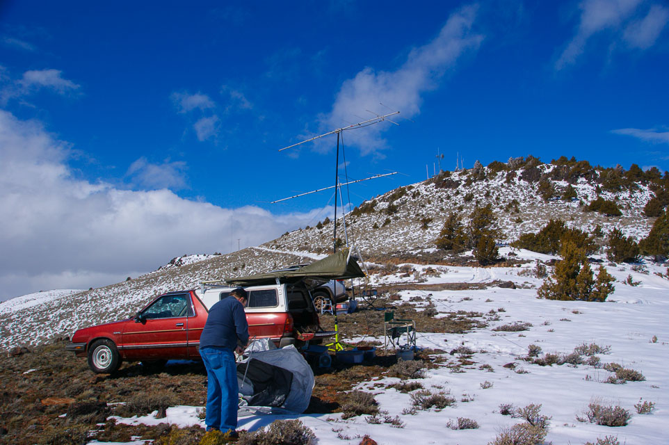
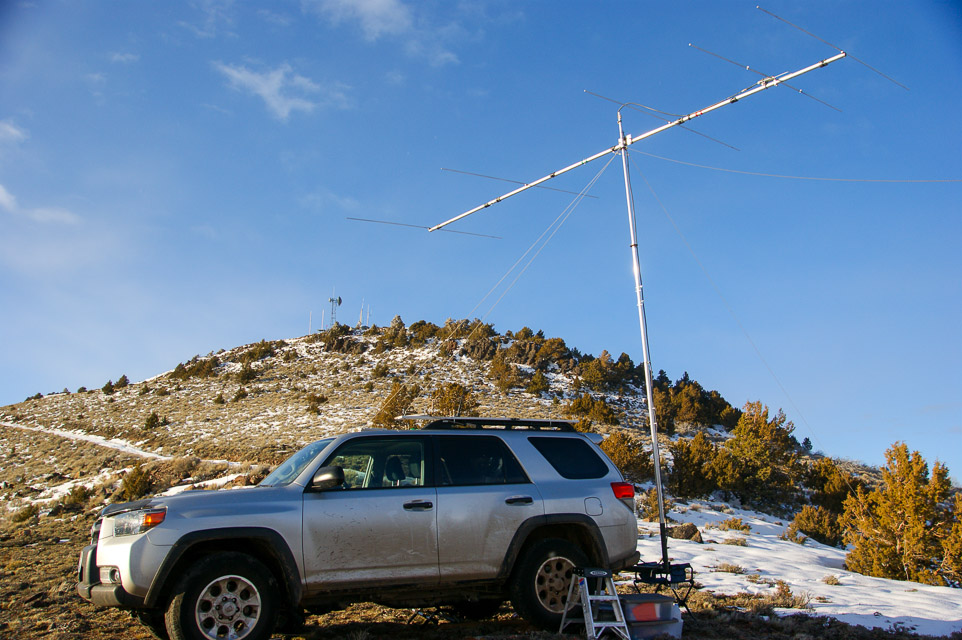
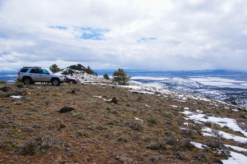
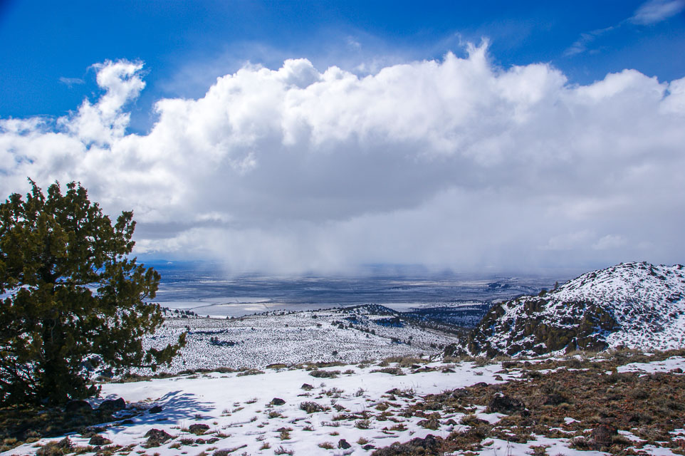
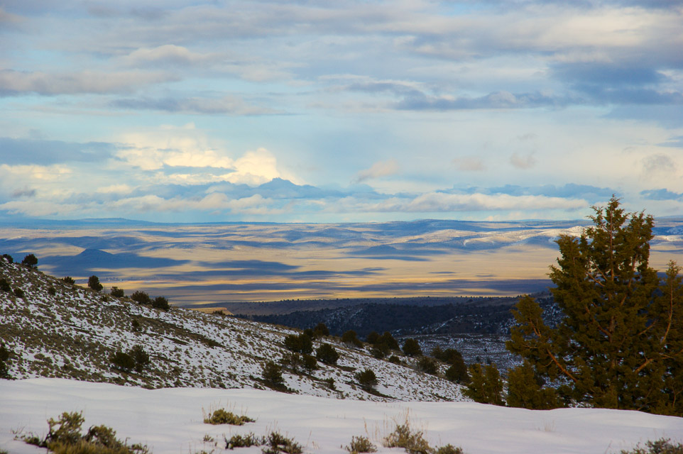
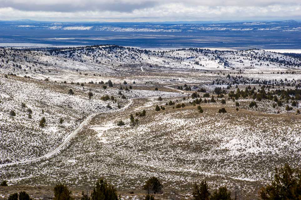
Hampton Butte rises high above the valley plain, just north of Hwy 20 and the so-called city of Hampton (it's a wide spot with gas station), about 50 miles east of Bend.
Driving directions: From Bend, go east on Hwy 20.
- A few miles before you reach Hampton, turn north on Lizard Creek Road.
- Keep right at the wye, staying on Lizard Creek as it climbs the hill.
- Follow road to the top. No water or facilities.
- We camped on the last shoulder before the top.
Restrictions: Stay on road as it passes through private ranch land. The road is unmaintained in winter.
China Hat, CN93lq53
| 43.682026, -121.033902 |
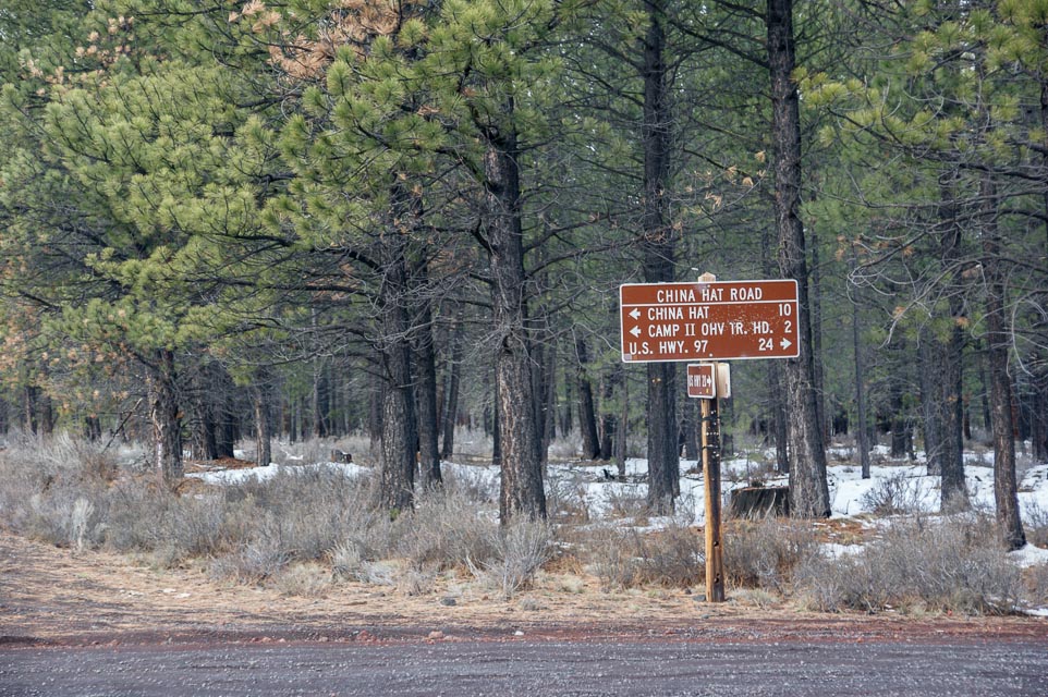
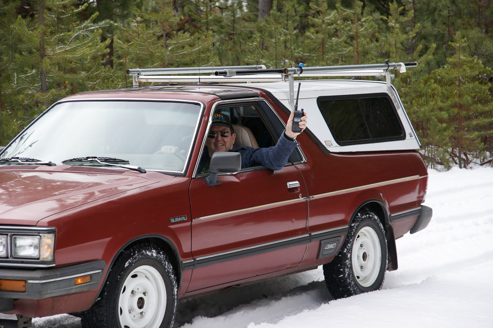
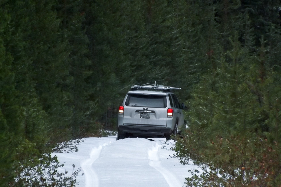
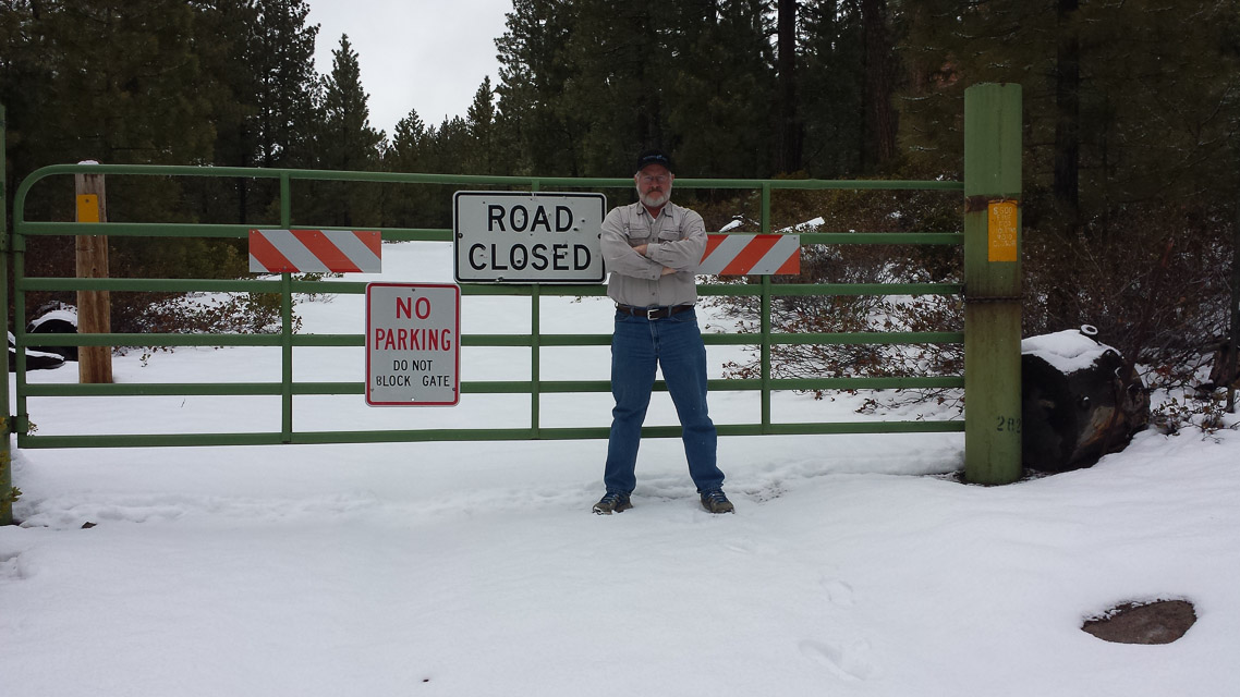
China Hat is a 6000' conehead peak east of Bend, Oregon. Rod WE7X and I tried to reach this in April 2014 but were turned back by snow and seasonal road closure.
Also nearby is another spot worth trying, the East Butte Lookout.
Restrictions: Closed in winter.
Gilchrist Butte, CN93dl91
| 43.462680, -121.668130 |
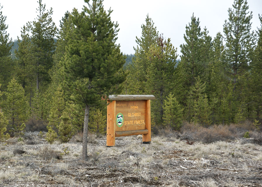
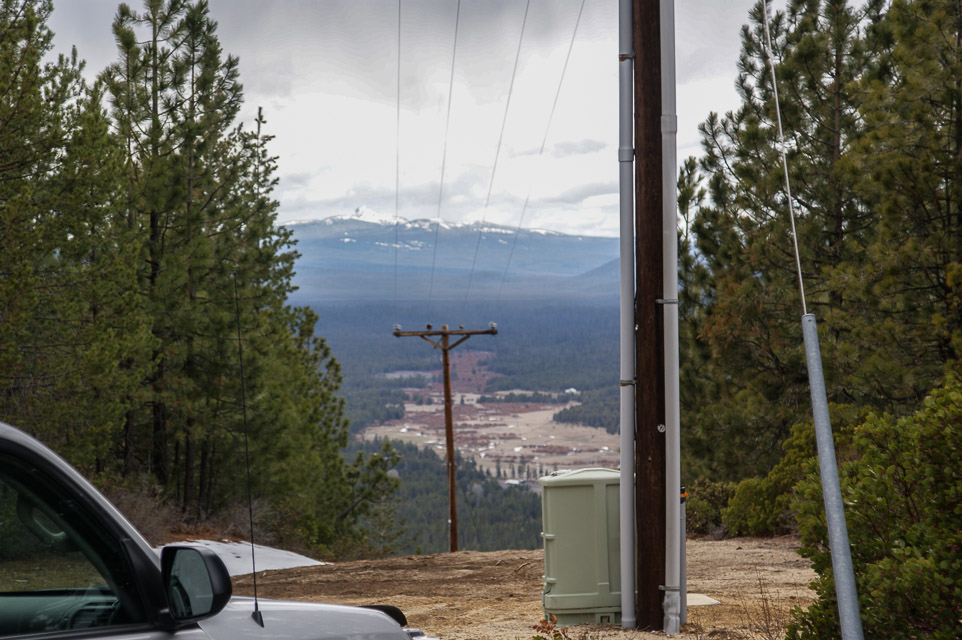
Gilchrist Butte is a local high point near Crescent City and Gilchrist. Although it's near Hwy 97, it takes 45 minutes or more to reach on very rough logging roads.
With lots of trees and transmitters at the top, I wouldn't call it a good operating location.
Restrictions: No good roads; unmaintained logging roads are narrow, steep, sandy and deeply rutted. It requires a good 4WD vehicle with plenty of ground clearance.
Upper Klamath Ridge, CN92cj24
| 42.395382, -121.809434 |
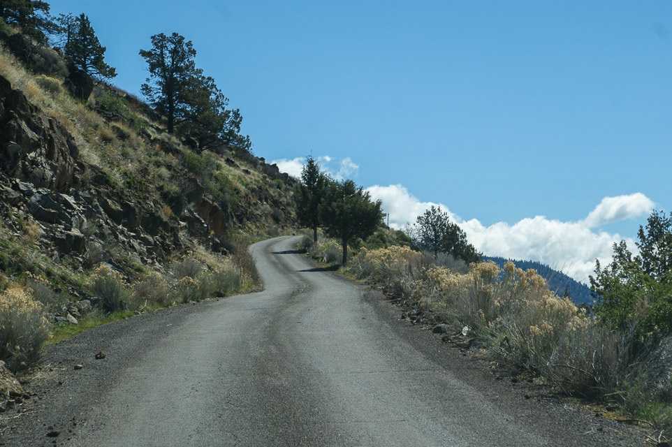
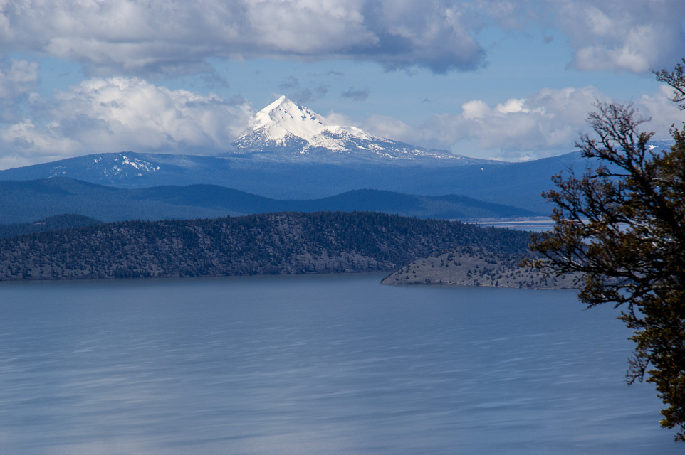

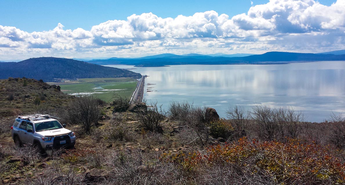
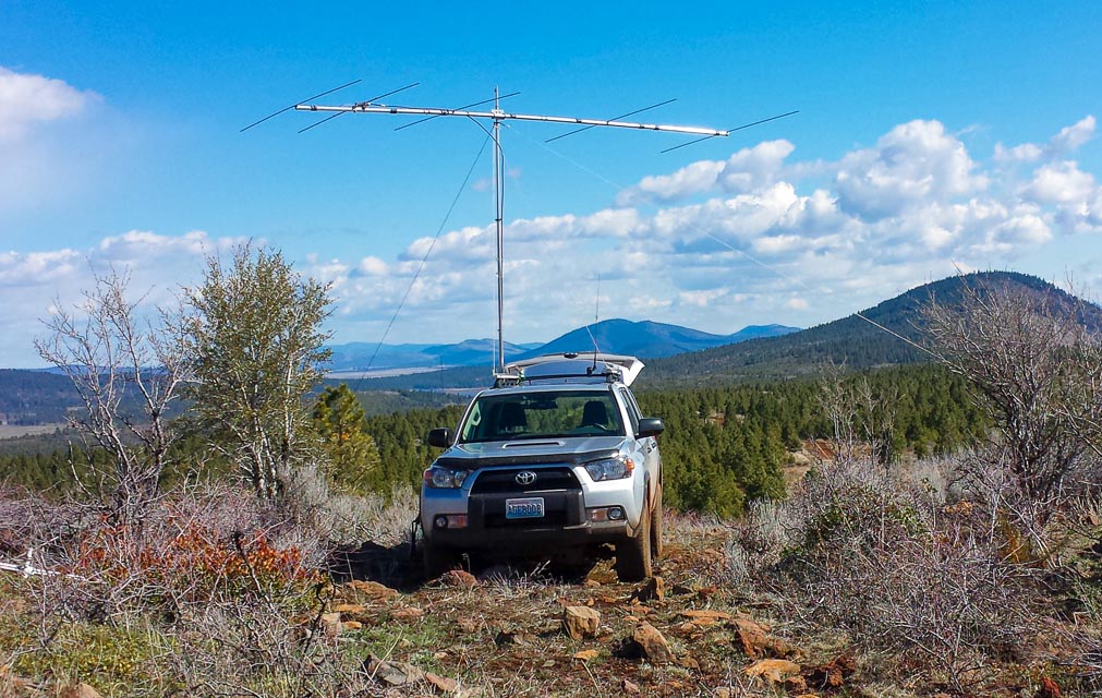
This is a 1500' ridge above the huge Upper Klamath Lake basin with good gravel roads in the Fremont-Winema National Forests. I used a spot just past the cattle guard but many possible sites could be used. The ridge rises gradually to the north so you may want to continue that direction to find better propagation to Portland and Seattle.
There is a nice rest area, Hagelstein Park, at the turnoff from Hwy 97.
Restrictions: Watch for active logging operations.
Siskiyou Plains, CN82va13
| 42.015460, -122.234520 |
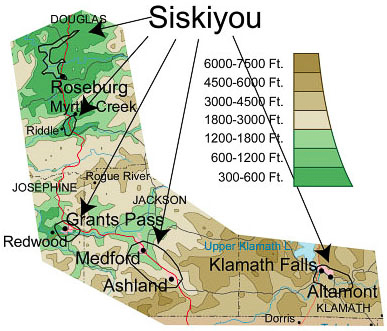
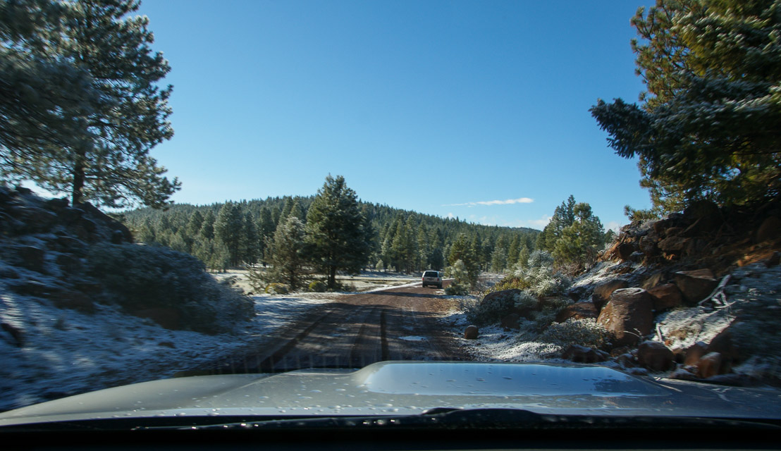
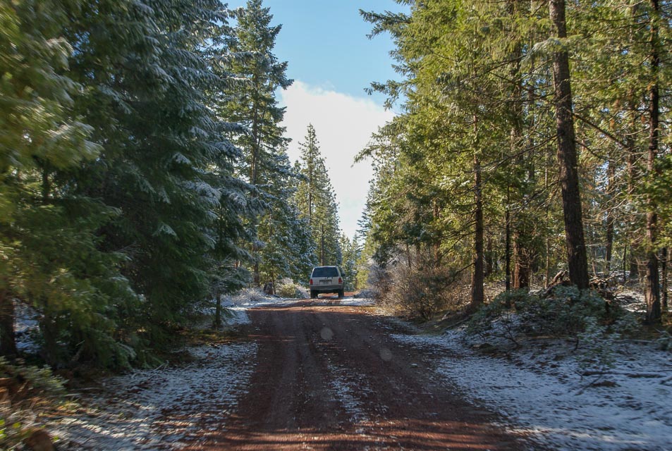
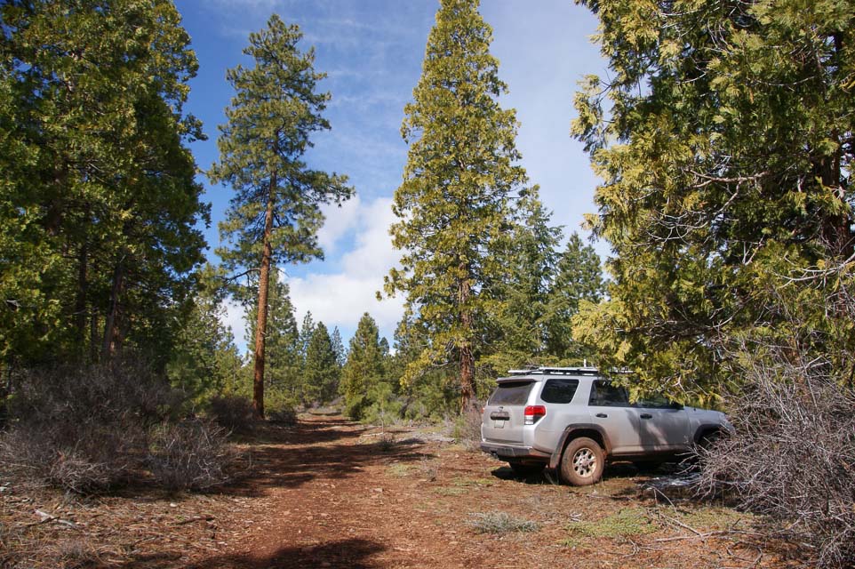
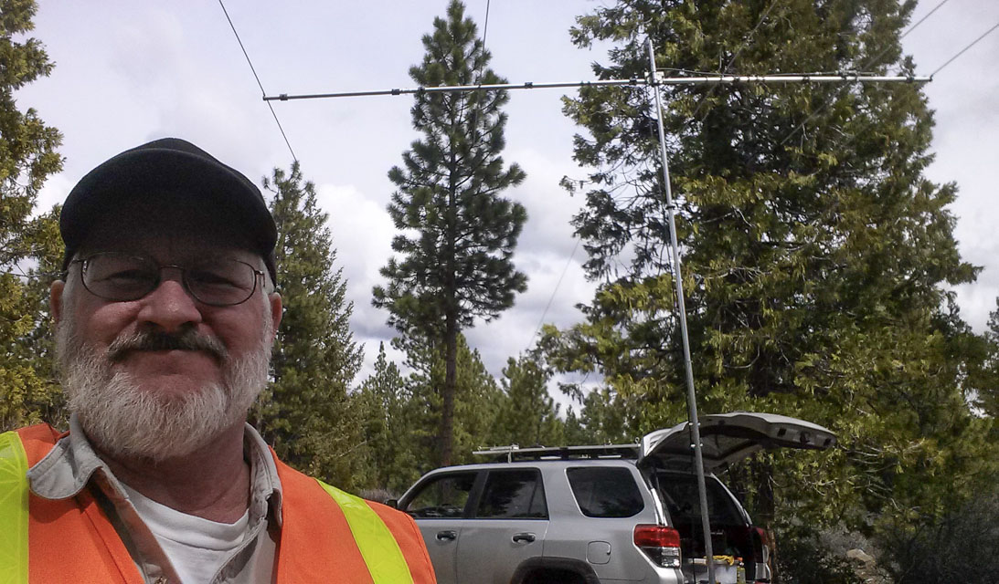
This is the high plains area among the Siskiyou mountain range. The hills are distant and potential camping areas are abundant. I chose this area as a compromise for sheltered winter camping and the better-but-much-more-exposed nearby Hamaker Mtn.
Driving directions: Turn south somewhere on Hwy 66 between I-5 and Klamath Falls.
Restrictions: Gate from Hwy 66 is locked during winter when the roads are wet and mushy. It was open this year on April 1st but usually stays shut until May.
Soda Mtn, CN82sc11
| 42.091050, -122.490270 |

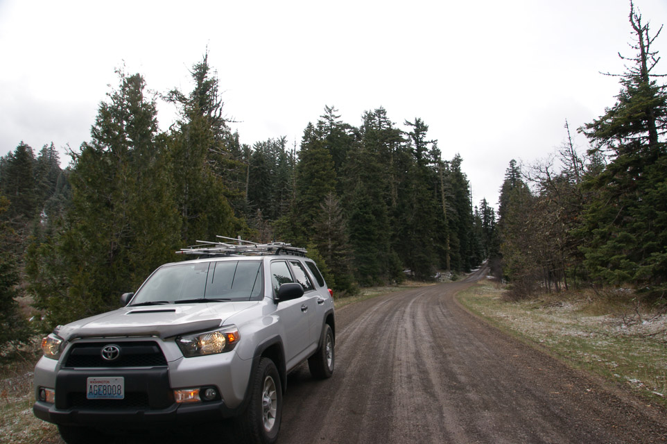
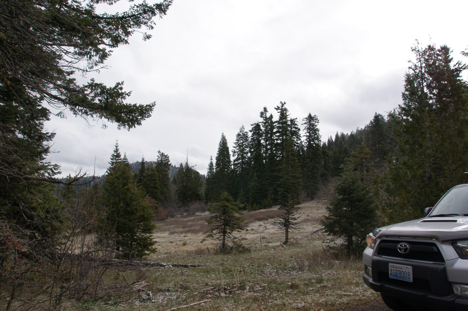
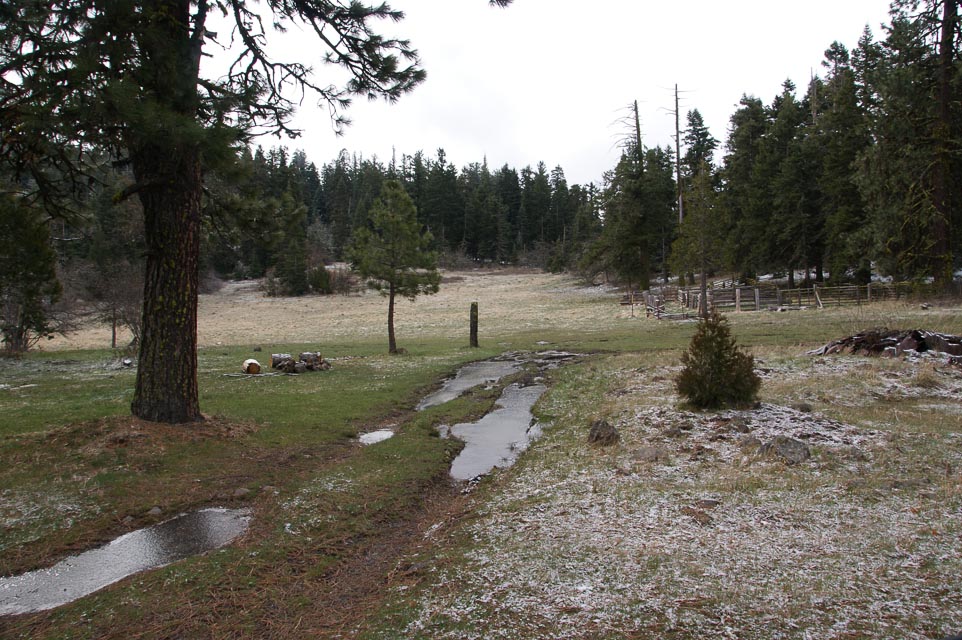
Soda Mountain provides a 5000' ridge line in the Siskiyou range with several possible pull-off and camping sites. It is just south of Hwy 66 (between Ashland and Klamath Falls) near the OR-CA borderand. The peak is about 20 miles on good gravel roads from the highway.
I stoppped at a relatively sheltered horse camp with good views to the northwest, but you can continue up further to the peak. Check the maps; I don't know if roads actually reach the very top.
Restrictions: Road not maintained in winter months. Low clearance vehicles not recommended.
In April 2014 it was too soggy to camp.
Stukel Mtn, CN92ec34
| 42.100666, -121.634951 |
Stukel Mtn is a 6200' peak a few miles southeast of Klamath Falls basin. The road is said to be paved to the top. The ridge has several towers and active ham repeaters.
Driving access is from due east of the peak.
Round Butte, CN94jo16
| 44.610699, -121.238403 |
An easy all pavement drive up with no RFI issues nearby and public access. There would be a good amount of traffic up there on a summer weekend, but plenty of places to park off the road and set up.
Driving directions:
From the south end of Madras, take SW J Street east - it will turn into SW Belmont Lane. For pavement all the way to the summit, turn left after 7.1 miles onto SW Mountainview Dr. Ignore signs after this for Round Butte Park - that's not the summit. After 1.5 miles the road will turn to the left - continue for 1.1 miles to turn left onto SW Round Butte Dr. Continue to the north 1.6 miles to the summit.
There's a unmarked and unnamed but shorter dirt/gravel road suitable for passenger vehicles that joins Belmont about 0.8 miles before Mountainview and connects to the narrow summit track.
King Mountain, CN82jq26
| 42.693161, -123.229684 |
King Mtn is a high point near I-5 and Wolf Creek, less than 20 miles north of Grants Pass.
King Mtn lies on a triple-county border between Josephine, Jackson and Douglas counties.
The YouTube video from the 2013 Seven-Area QSO Party includes video of panoramas and tower-raising.
Ophir Mtn, CN72wp46
| 42.651105, -124.132840 |
Ophir Mtn in Reese River Valley area has good access to altitude. Lots of free camping in the area.
Iron Mtn, CN72wq27
| 42.696063, -124.144249 |
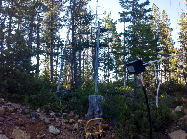
Iron Mtn, CN72wq27
| 42.696063, -124.144249 |
LL Stub Stewart, CN85jr78
| 45.741944, -123.186111 |
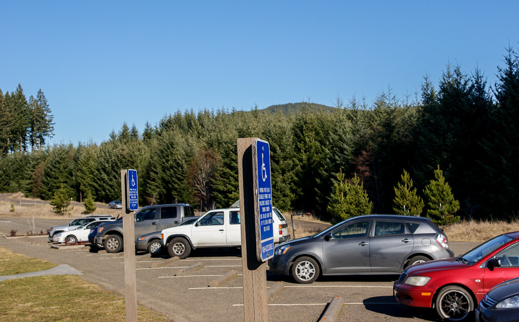
LL Stub Stewart State Park is a clean modern campground and recreation area with an extensive trail system and recreation opportunities on a hilltop. There are cabins, campsites, RV sites and horse-trailer parking in areas below the top of the hill.
The day-use picnic area on top has good exposure in all directions except NNE.
Liberty Inn, CN75xa90
| 45.001466, -124.003640 |
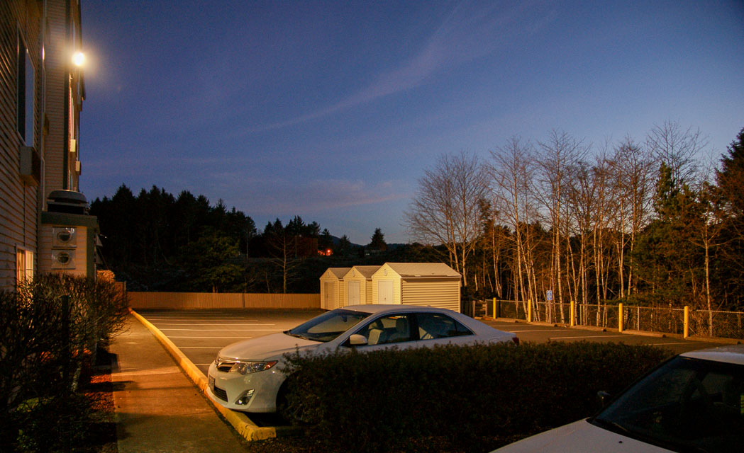
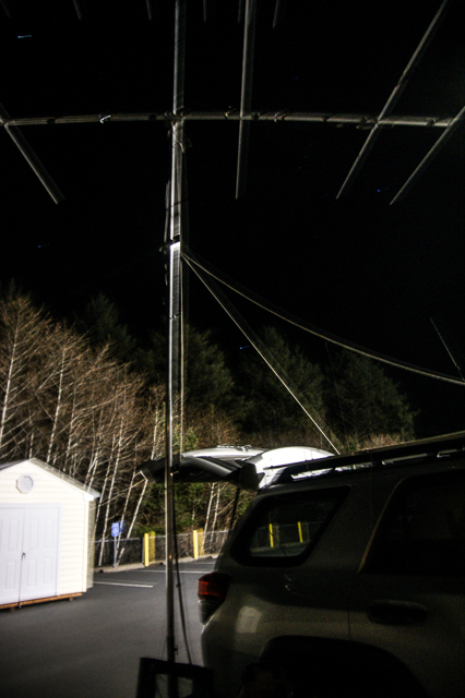
Liberty Inn at Lincoln City is a nice hotel on the CN75 side of the grid corner. Rooms on the top floor have a nice view of the ocean. Liberty Inn is entirely in CN75; the grid line is at the Inn's south fence.
It's on a hillside with propagation as good as you'll find anywhere in CN75. We had strong signals into the Portland area and contacted the major stations in Seattle from the back corner of their parking lot.
Driving directions: From Hwy 101, turn north on Logan Road. Drive 1/4 mile.
Logan Rd RV Park, CN75xa90
| 45.000065, -124.003579 |
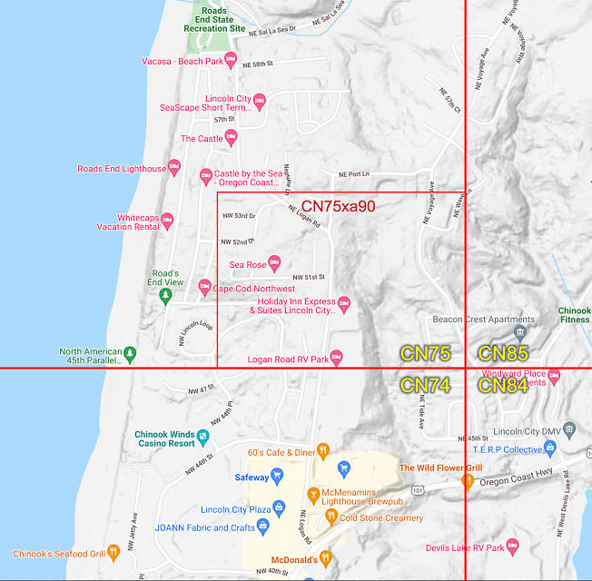
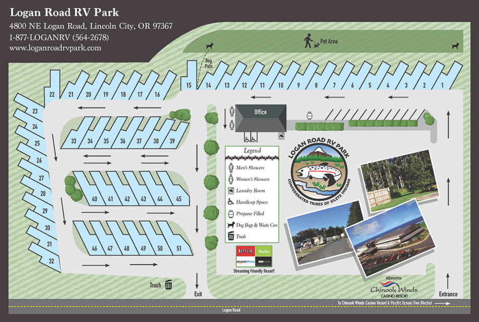
Logan Road RV Park in Lincoln City is alongside the Liberty Inn Hotel, and on the CN74-75 grid line. Parking spots 13-22 have an eastward drop-off into a small but steep valley.
According to satellite views, Parking spot 13 is on the grid line.
There is an expansive parking lot that's geared toward casino parking but most of it is in CN74 not CN75. This hillside is as good as a horizon as you'll find anywhere in the annoying tiny sliver of CN75.
Driving directions: From Hwy 101, turn north on NE Logan Road in Lincoln City. Drive 1/4 mile.
Goodwill Parking Lot, CN74xx99
| 44.997500, -124.005278 |
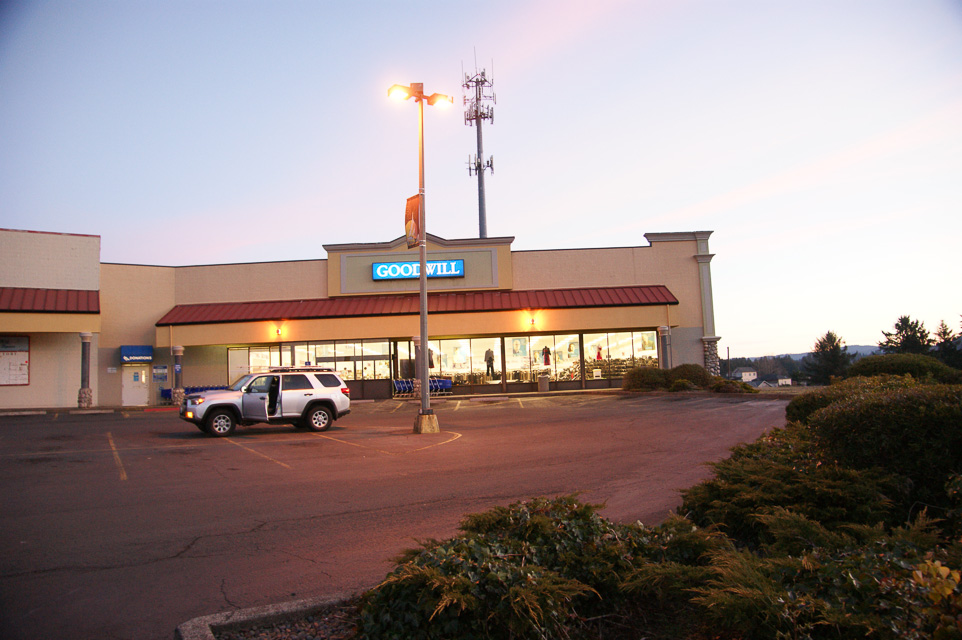
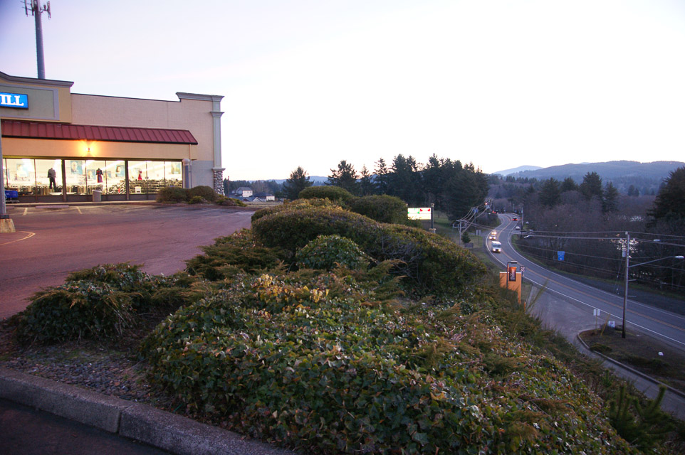
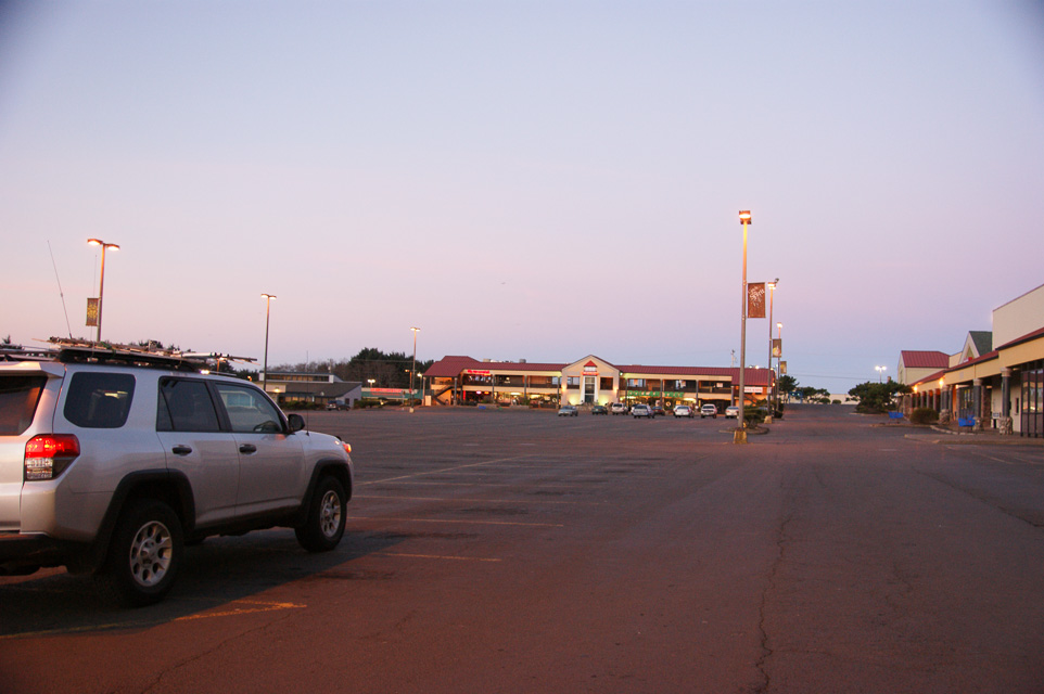
The Goodwill parking lot is the northeast corner of CN74 along Hwy 101.
This is a good stop for grid-circling using:
- Liberty Inn, CN75
- Goodwill, CN74
- Hwy 101, CN84
- Post Office on Hwy 101, CN85
This parking lot is in a strip mall with restaurants and other shops.
D River Beach, CN74xx72
| 44.967222, -124.017778 |
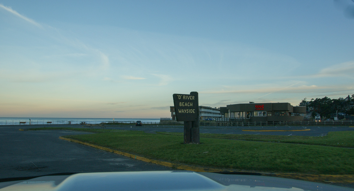
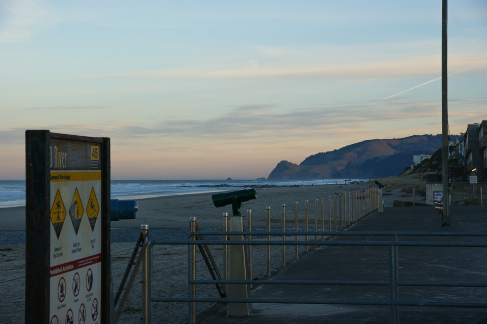
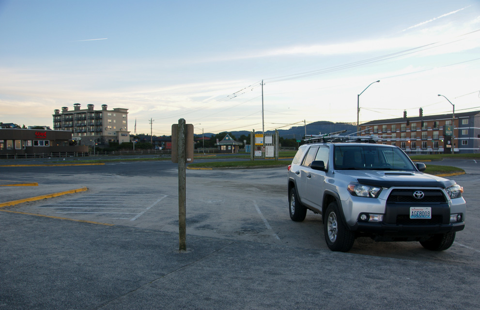
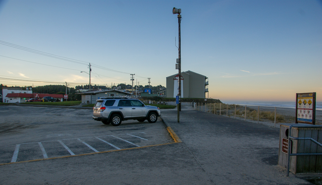
D River State Recreation Site is in downtown Lincoln City with a small parking area on the beach.
This is in the NE corner of CN74. If you're grid-circling then try the Goodwill parking lot instead which has easier driving access to the grid corner.
Restrictions: No services but you're surrounded by Lincoln City.
South Beach, CN74xo24
| 44.600833, -124.065278 |
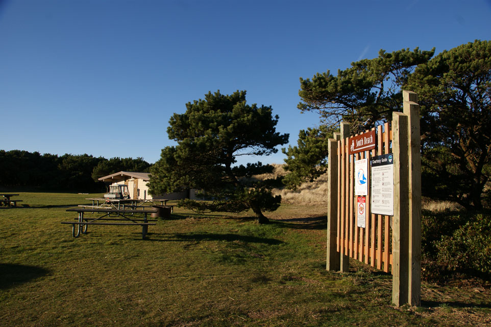
South Beach State Park is close to Newport and offers a huge parking area, restroom, beach access and is well removed from any hills. This was our best operating spot during the January 2014 VHF contest.
Seal Rock, CN74xl09
| 44.497222, -124.083056 |
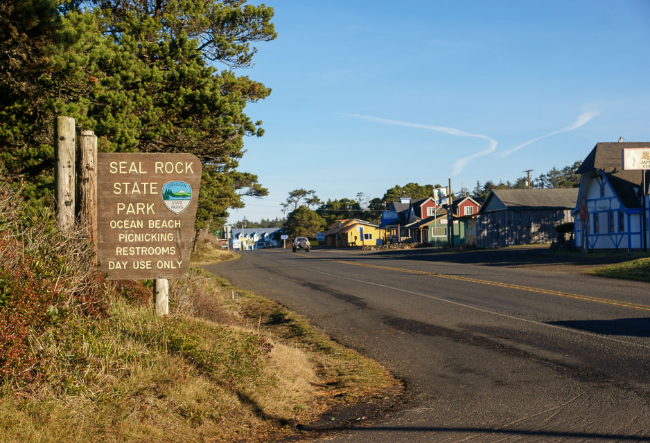
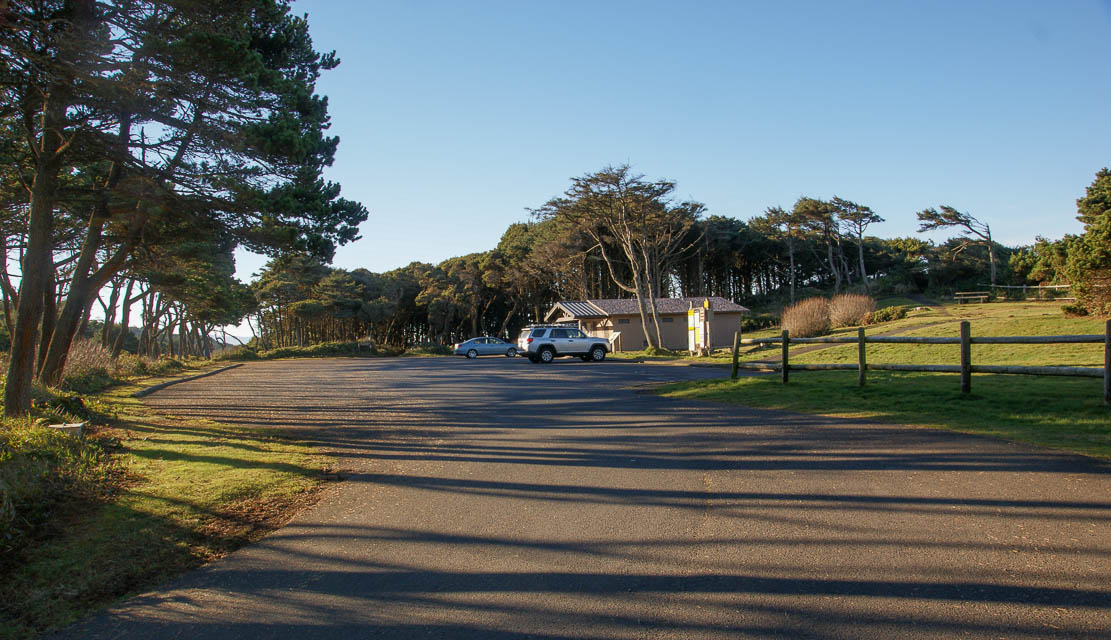
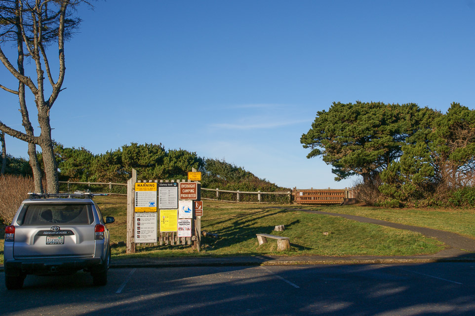
South Beach State Park is another convenient area along Hwy 101 with restrooms and beach access.
The entire coastline from Newport south to Waldport is relatively far from the coastal hills, and should offer decent propagation. My preference is South Beach (8.2 miles north) but this would probably work as well.
Restrictions: No camping.
Oregon Dunes KOA, CN73vm30
| 43.501727, -124.220138 |
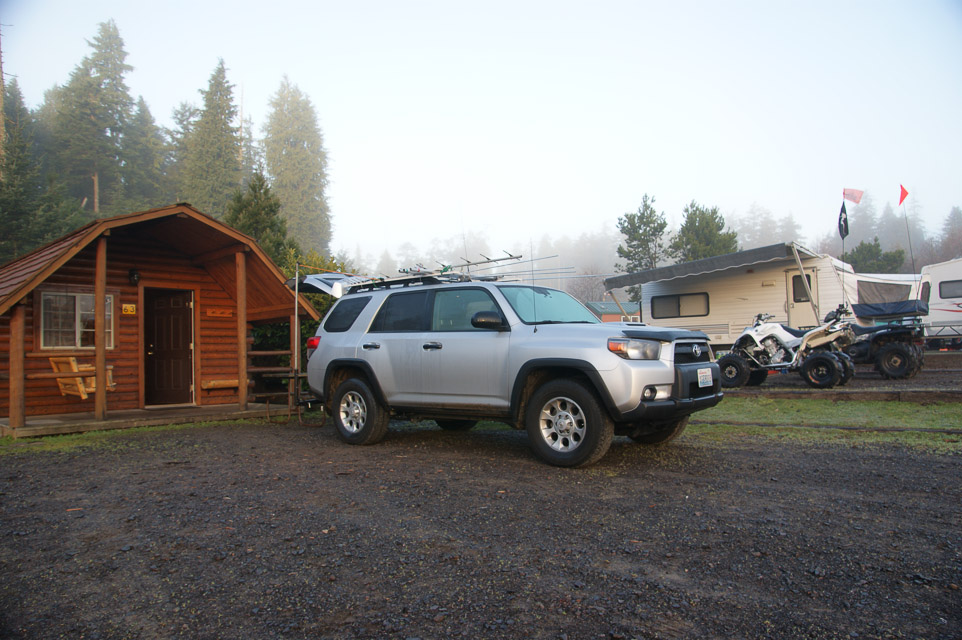
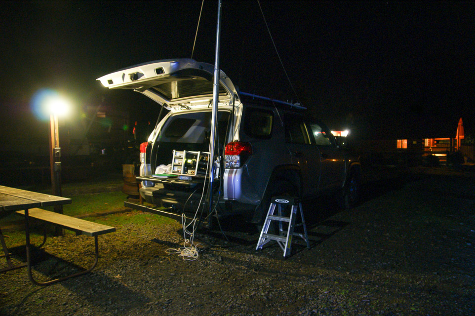
The Oregon Dunes KOA kampground is in the flat coastal area of the 40-mile Oregon Dunes area. The kabins are an excellent setup for VHF operation with power, lights, picnic table, fire pit and you can park alongside the kabin itself.
This spot should have good propagation in all directions. However, we didn't make very many contacts in the January 2014 contest. I suspect it was just a slow time of activity.
Restrictions: Observe all KOA guidelines including quiet times.
Popular destination resort for all-terrain vehicles is open year-round. Plan ahead for reservations.
Coast Guard Hill, CN72rr87
| 42.739167, -124.510833 |
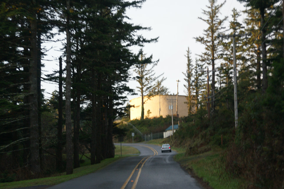
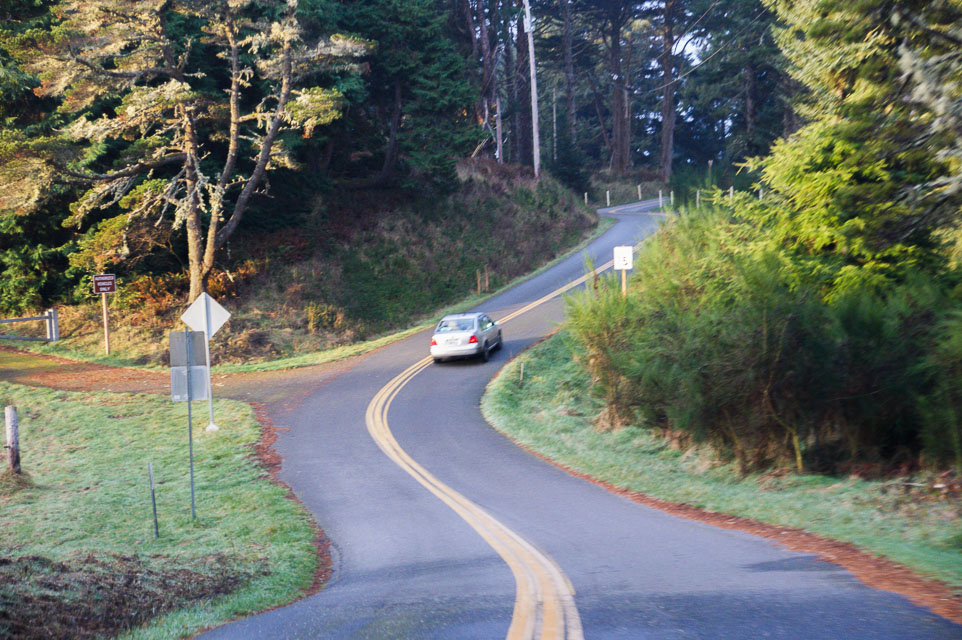
This delightful knob in the city of Port Orford provides good altitude above average terrain. The locals know it as Coast Guard Hill. From here you can hike down to the cliffs and beach of Port Orford Heads State Park.
The Lifeboat Museam is here, too. On nearby King St along the ridge are spectacular views. At the base of the hill is the cute Timeworn Treasures shop.
Driving directions: From Hwy 101 turn west on 9th Street. Turn onto Coast Guard Hill Road.
Restrictions: Day use only. No services.
Driftwood State Park, CN74xl01
| 44.464444, -124.080278 |

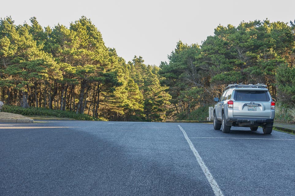
Driftwood State Park is a few miles south of Seal Rock and provides a handy open parking area near the beach. It has low trees and is well removed from nearby hills for a decent chance at decent propagation.
Tokatee Klootchman, CN74we69
| 44.208333, -124.114722 |
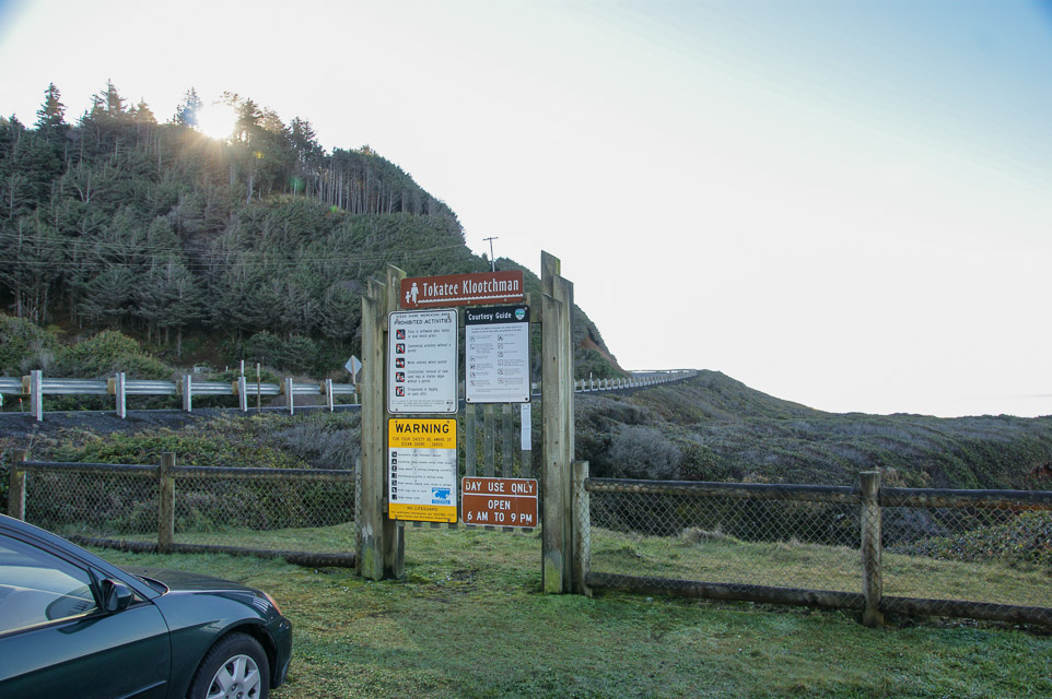
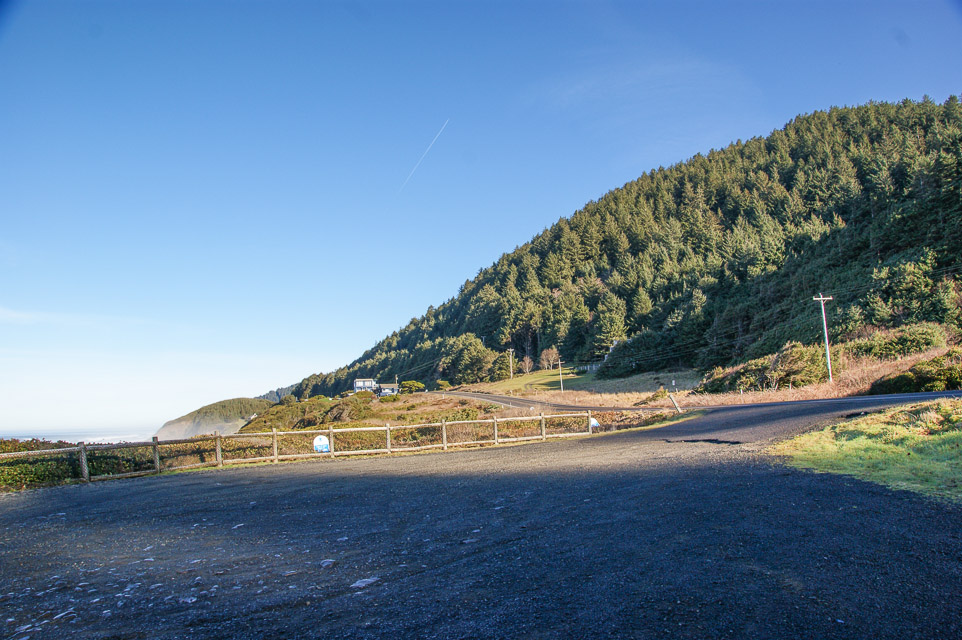
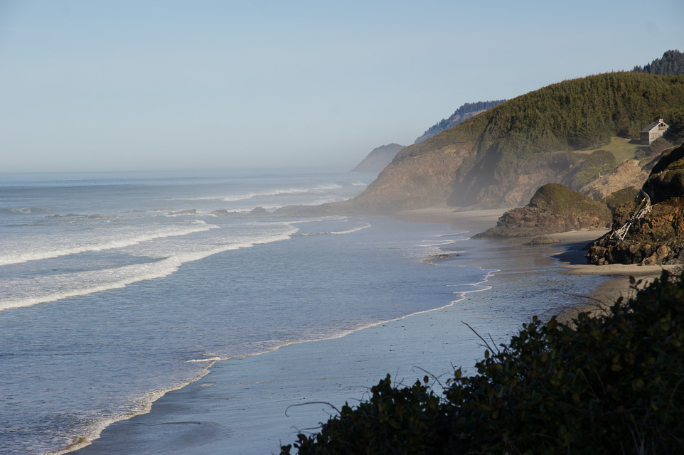
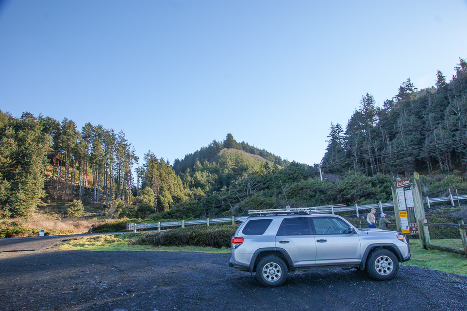
Tokatee Klootchman
provides a small parking area with spectacular ocean views.
Propagation is very limited due to steep nearby hillsides.
Driving directions: The park is 16 miles (26 km) north of Florence on U.S. Route 101.
Restrictions: Day use only, open 6am to 9pm.
Fivemile Ridge, CN73ws52
| 43.762168, -124.124436 |
Where Highway 101 climbs over a ridge before descending to Reedsport there's a turnoff and wide spot with excellent altitude and enough space to setup a good antenna.
Restrictions: Public road, leave room for traffic.
Patterson Park, CN74wj99
| 44.413651, -124.083570 |
Governor Patterson State Recreation Site is a comfortable place to set up on the coast in CN74. Plenty of parking and adjacent grassy open area for antennas. It also has close individual picnic table areas with 180 deg. coastal/beach views, and nice restrooms. There is a drive thru coffee/espresso stand approx 500 ft north of here.
Driving directions: On the west side of Hwy 101 on the south end of Waldport, OR. This is approximately one mile South of Waldport's only stoplight that's at the south end of the Alsea Bay Bridge.
Dixie Mtn, CN85mq97
| 45.696034, -122.916874 |
Excellent ridge line about 30 minutes from Portland. This spot gets you up and out of the river valley with good propagation into both Portland and Seattle from the Oregon side of the river.
Driving directions: 23755 NW Skyline Blvd, North Plains, OR 97133
Spike Butte, CN83kp42
| 43.633833, -123.132167 |
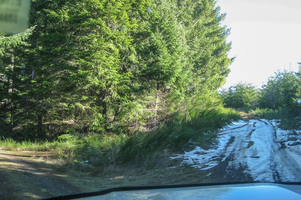
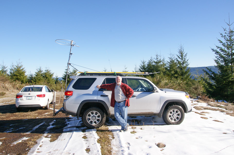
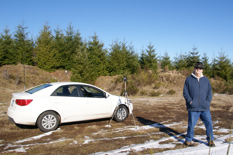
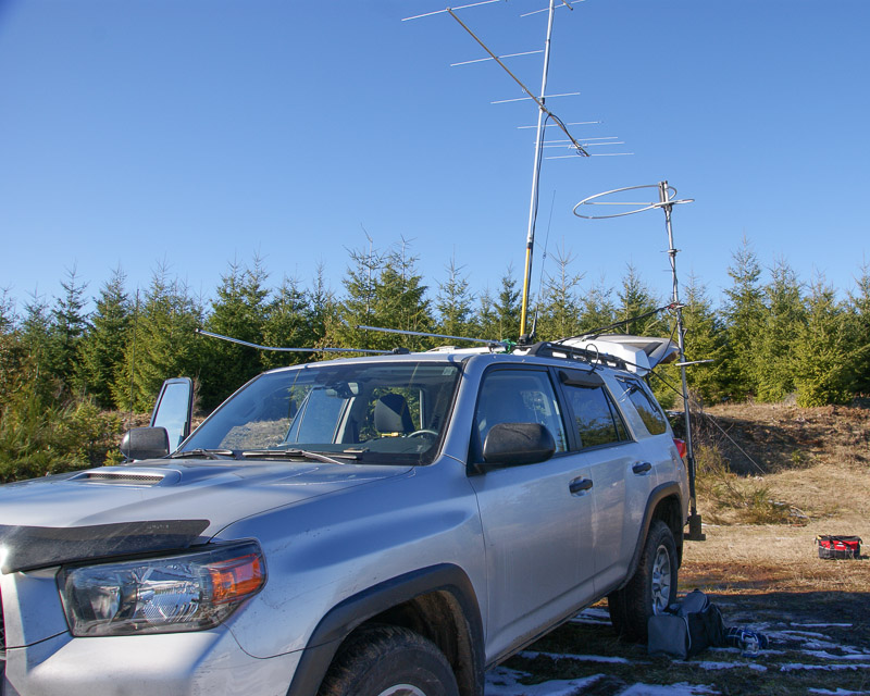
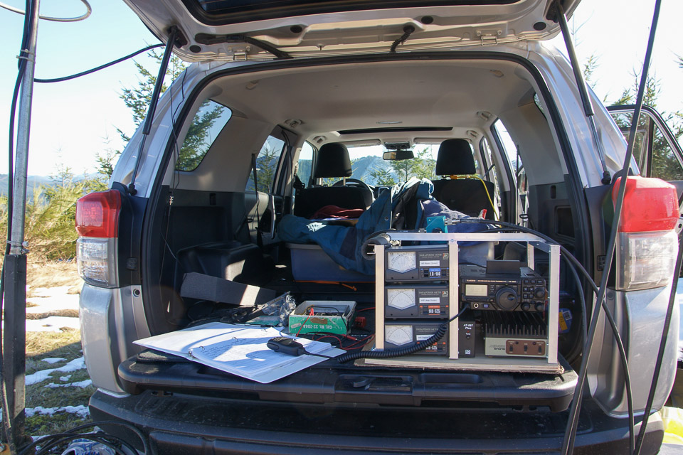
An excellent location just barely south of the CN83-84 gridline, which will typically offer propagation north to Eugene and south to California.
Barry K7BWH and Tom K7ZL operated here in the 2013 January VHF Contest. Normally this is snowed in during winter but a freak temperature inversion had cleared the BLM roads.
Also try CN83kp31na outcrop nearby for a southern exposure.
Fern Hill, CN86mc01
| 46.088063, -122.998061 |
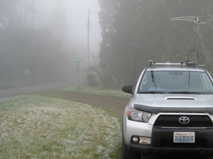
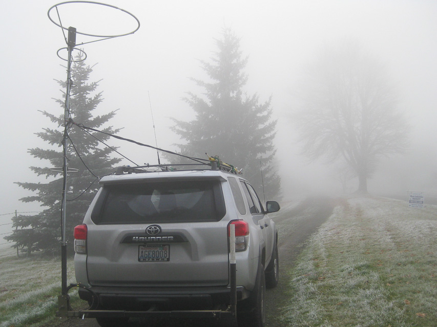
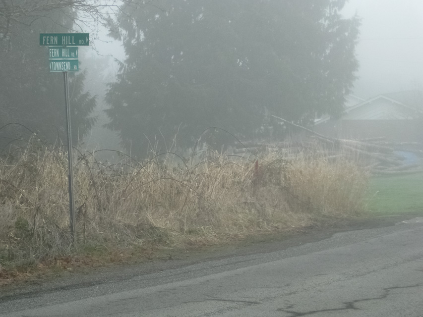
There is a small slice of CN86 in Oregon. The main advantage is easy access and near to Portland for easy to make contacts in the metro center. The park itself has no altitude to speak of; drive uphill to the ridgeline to find an operating spot. From the valley there is easy return across the river into Longview, WA.
Don't use the Hudson-Parcher city park itself - it is deep in the valley with a high-tension power line. But the hilltop above has good propogation to Seattle and Portland.
Knox Butte, CN84lp86
| 44.651482, -123.015697 |
Close to I-5 but fully developed. I doubt there is a good place to stop among all the houses. A scouting trip would help.
Also try Timber-Linn Memorial Park nearby right off Exit 233.
Driving directions: Intersection of Fern Hill Rd and Townsend Rd:
- From Hwy 30, take the Larson Road exit
- Follow Larson Rd south
- Turn right (or left) onto Parkdale Rd
- Find a spot to park and operate
Spores Point, CN84lc57
| 44.116226, -123.038574 |
Spores Point is near I-5 by Eugene. This probably won't work, as the hilltop has a large set of radio towers and is probably gated, but a scouting trip is needed.
Alternative spots include nearby Armitage County Park at the bottom of the hill. Also try Moon Mtn on the south side of Eugene.
Driving directions: Take I-5 exit 199 toward Coburg, drive 0.2 miles
- Turn right onto E Pearl St, drive 0.6 miles
- Turn left onto Coburg Rd, drive 1.9 miles
- Turn left onto McKenzie View Dr
- Then turn left onto Egge Road
- Drive through underpass
- Continue on 1.0 miles to hilltop
Moon Mtn, CN84la57
| 44.031225, -123.039000 |
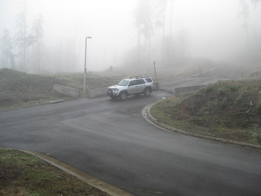
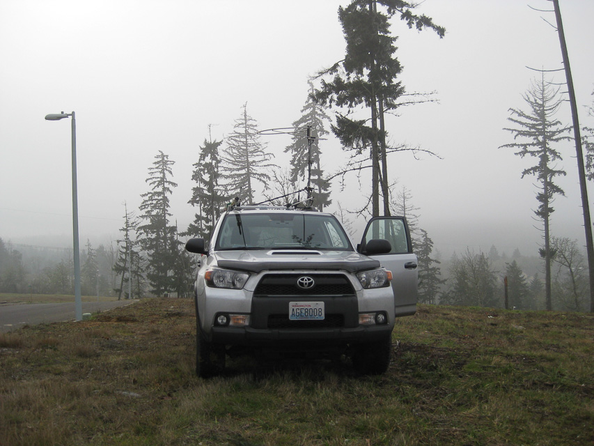
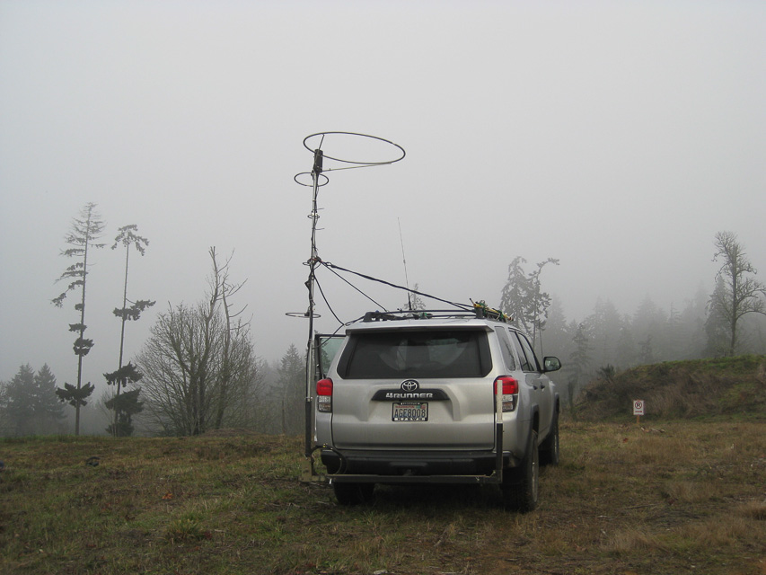
Eugene is just north of the CN83 - CN84 grid line.
Moon Mtn is within the city limits along I-5 and provides a very quick stop along the freeway and gets you up about 250' above average terrain. This hill contains a new residential development (as of 2013) with streets but no homes, which provides many possible parking spots and good propagation north. Note there is a city park but it has no usable parking.
Restrictions: Vacant in January 2013 but likely to be developed soon.
Round Mountain, CN83jw40
| 43.917325, -123.215833 |
It looks suspiciously driveable just south of the CN83-CN84 grid line near Eugene, OR.
However, it's gated at the Lorane Hwy. Looks like the beef company owns the property, due to the giant gate at the road.
Driving directions: This is 45 minutes from Eugene on back roads, or 45 minutes from Creswell.
Taylor Butte, CN83ls46
| 43.777818, -123.043292 |
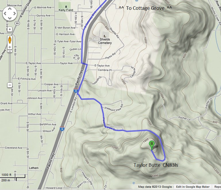
Taylor Butte looks like a drivable high point near CN83-CN84 grid line near Eugene. But it's gated off below the summit, and there are no viable operating spots due to houses.
Driving directions: 20 minutes south of Creswell, OR:
- I-5 exit 174 toward Cottage Grove / Dorena Lake
- Slight left onto N Gateway Blvd
- Turn left on to E Taylor Ave
- Take the first right onto Hillside Drive
- Take the third left onto Pleasant View Drive, drive 0.9 miles
Restrictions: Satellite view shows radio towers on this hilltop.
Wards Butte, CN83kr06
| 43.736717, -123.158884 |
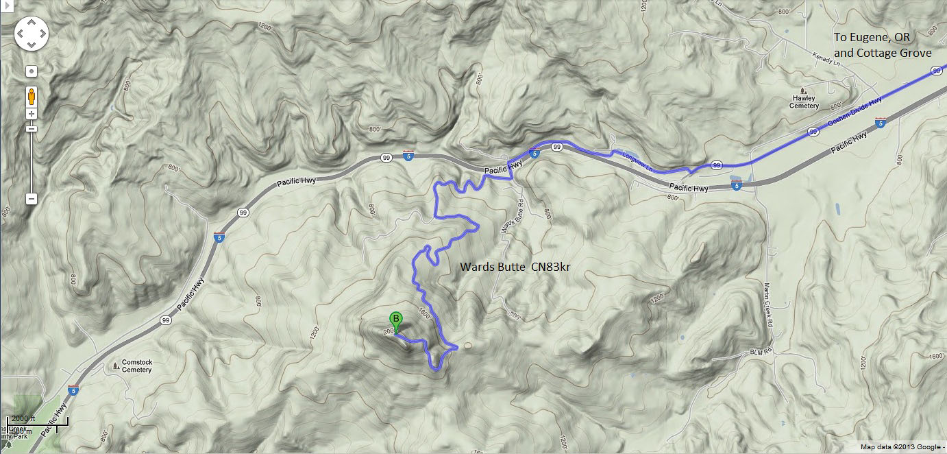
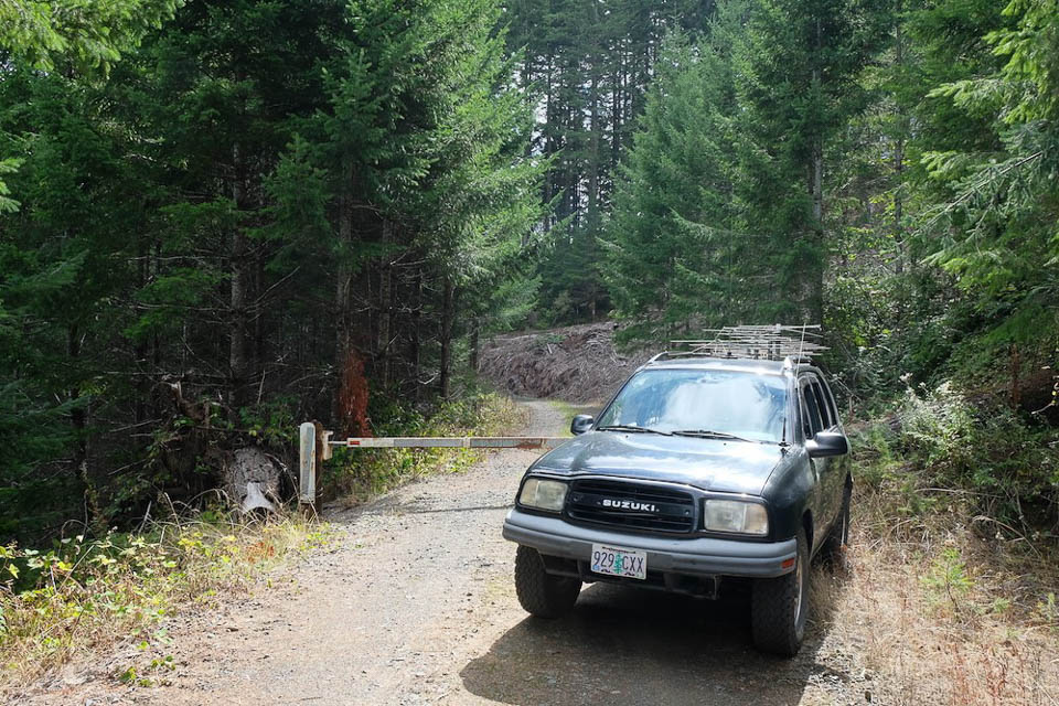
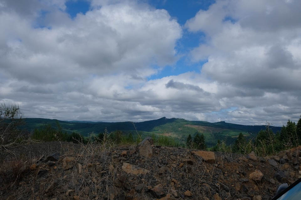
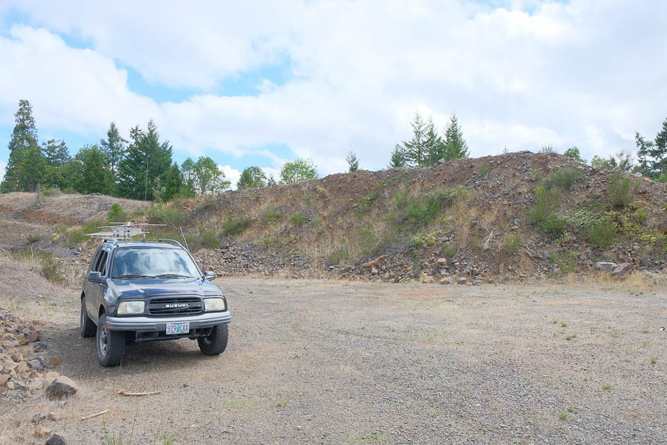
Another high point near I-5 just south of the CN83 grid line.
Sept 2019: it turns out that one direction the road is gated, and the other was past an open gate on Friday but the road was well blocked off and grown over. There is a pretty good spot just to the East, but on Sunday the second gate was closed and locked. They are doing a bunch of logging up there, so I think in the near future it will be closed off.
Driving directions: Take I-5 exit 174 in Cottage Grove
- although Wards Butte is alongside I-5, there is no nearby exit
- Turn right onto E Cottage Grove Con
- Slight left onto OR-99 South
- Turn right to stay on OR-99 South
- Turn right onto Longview Ln
- Slight left to stay on Longview Ln
- Turn left onto Wards Butte Rd
- Take the first right
- Take the first left, drive 2.3 miles
Dickinson Mtn, CN83jn41
| 43.546293, -123.215296 |
Hilltop near I-5 in southern Oregon, about an hour south of Eugene. It looks good on a map but it's gated off at 43.54297, -123.23611. This is posted as Dougas Forest Product land ownership.
Driving directions: An hour south of Eugene:
- Take exit 154 toward Scotts Valley / Elkhead
- Turn left onto Anlauf Rd / Co Rd 25 / Elk Creek Road, drive 0.3 miles
- Turn left onto Elkhead Road, drive 3.0 miles
- Slight right on to BLM Road 23-4-9.0, drive 1.1 miles
- Look for clearing on your left at the top of the hill
Devore Mtn, CN83io36
| 43.610927, -123.303616 |
Gated at Hwy 99 when the county transfer station is closed, and looks permanently gated up the road when the transfer station is open. Looks like a Douglas Forest Products gate.
Driving directions: An hour south of Eugene, OR:
- Take I-5 exit 150 for OR-99 toward OR-38 / Yoncalla Drain
- Turn right onto OR-99 N / Eagle Valley Road, drive 3.4 miles
- Turn left onto Co Rd 296, near Jim Thorp Lumber Products
- Drive 1.7 miles up winding dirt (?) county road
Council Crest Park, CN85pl59
| 45.498960, -122.708318 |
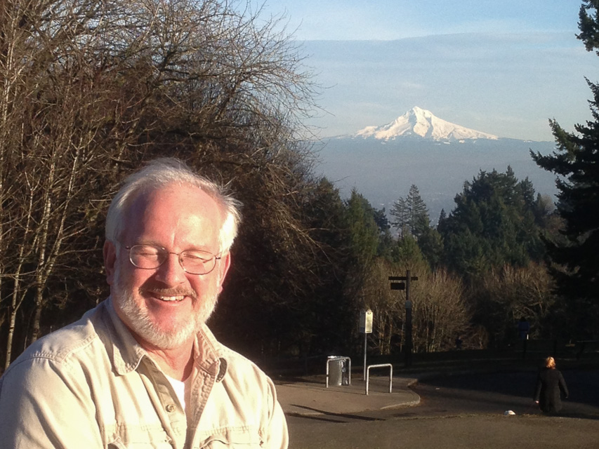
Easy to reach from Portland. On a clear day, five Cascade mountains are visible.
Hamaker Mtn, CN92ab36
| 42.068400, -121.972500 |
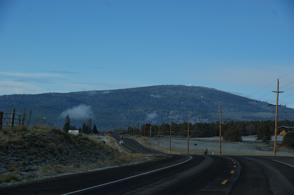
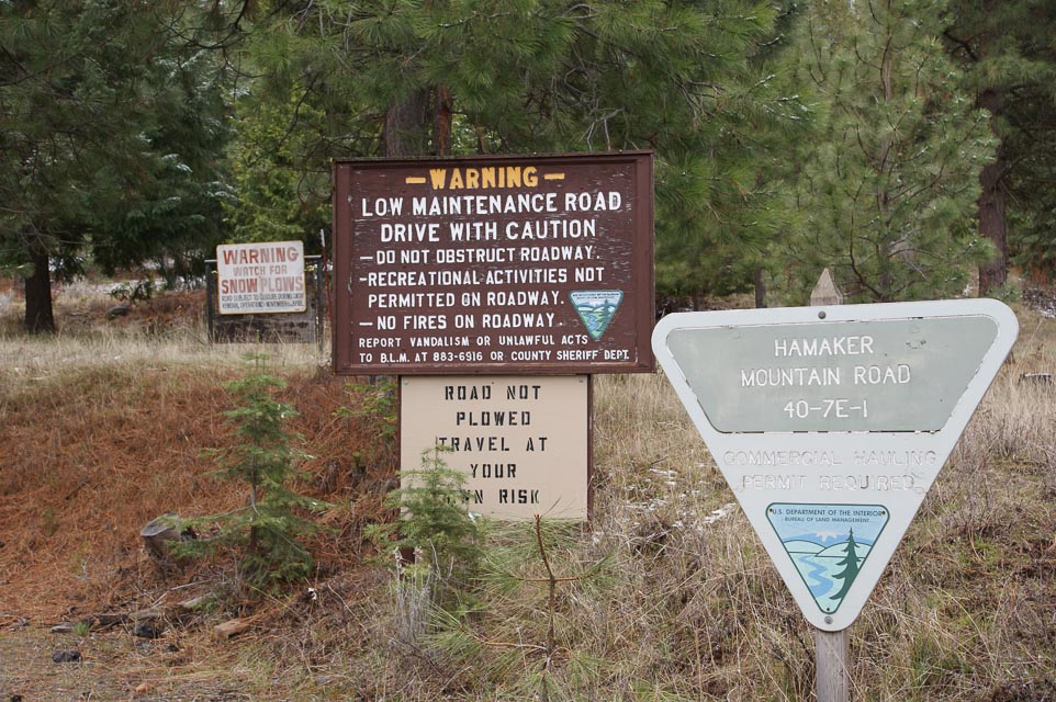
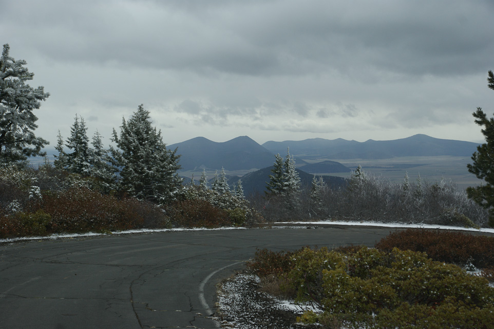
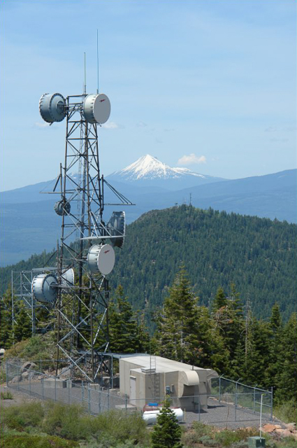
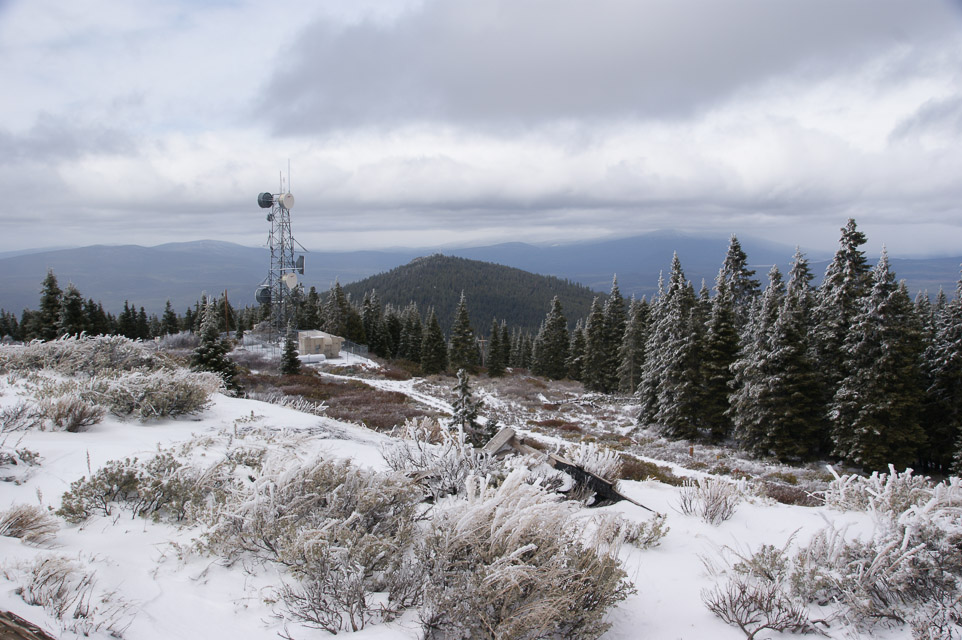
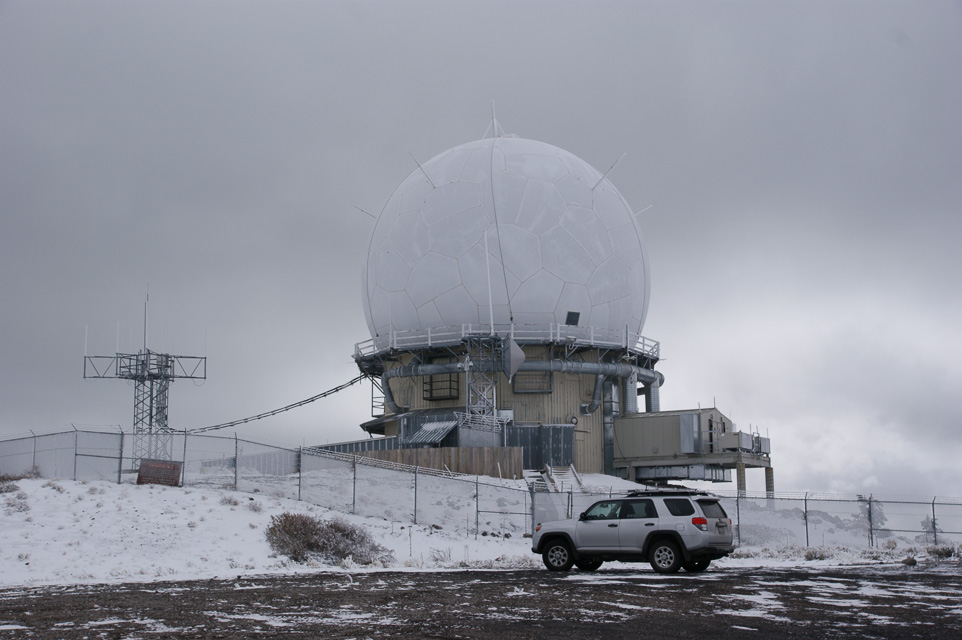
Military radar site, not guarded, open access. Several fenced compounds surrounding several commercial and amateur transmitters.
Good propagation in all directions. Large paved parking lot. This is quite likely the absolute best operating spot in CN92 (which isn't saying much, since it's a very long way to any metro center).
Driving directions: The turn-off is along Hwy 66 between Keno and Mt Ashland. Turn south onto Hamaker Mtn Road. It's about 20 minutes to the top on a paved road.
Restrictions: Road is not plowed in winter. May be closed in winter, but usually open in June.
The sign "not plowed in winter" is next to a "watch for snow plows" sign. Take your pick.
Ham Radio Outlet, CN85oj59
| 45.416398, -122.791416 |
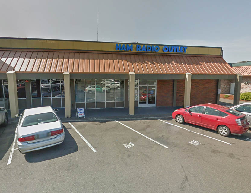
Best store in Oregon.
Driving directions: 14405 SW Pacific Hwy, Portland, OR 97224
Located alongside Harbor Freight.
Milwaukie, CN85qk10
| 45.419660, -122.653877 |
A suburb of Portland.
Light Peak, CN92wh22
| 42.303699, -120.148697 |
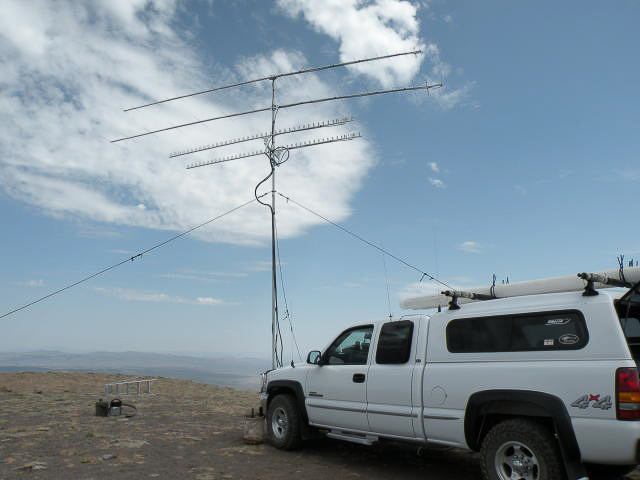
Light Peak summit is about 0.6 miles NE of Drake Peak Lookout. The top is absolutely barren with clear views in all directions. The best VHF/UHF Contest site on the west coast (my opinion), except that it's closed to motorized travel.
Restrictions: Light Peak is closed to motorized travel by the Fremont-Winema Forest Travel Management Plan. You can still hike in, bicycle, ride a horse or etc.
Drake Peak Lookout, CN92wh12
| 42.300568, -120.157828 |
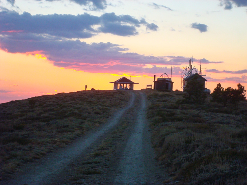
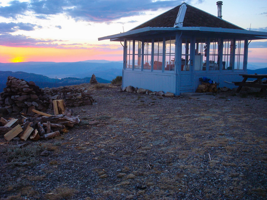
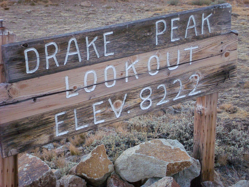
This is a Forest Service Lookout that can be rented.
Drake Peak Lookout is actually on a shoulder of Light Peak. For what it's worth, Light Peak itself is about 1.7 miles east and only accessible by hiking cross country.
See the lookout rental website at http://www.fs.usda.gov/recarea/fremont-winema/recreation/recarea/?recid=59801 . There is a really nice privy installed by the repeaters (see sunset photo).
Another good spot is Light Peak summit, about 0.6 miles NE of the Lookout and can be driven in a 4WD vehicle.
Driving directions: From Highway north of Lakeview, turn right on Highway 140.
- Take Highway 140 east for 8 miles.
- Turn left on Forest Road 3615.
- Go on Forest Road 3615 for 7.5 miles
- Turn right on Forest Road 019.
- Drive Forest Road 019, winding up to the top of the peak for 5 miles.
- See also Topozone Map
Restrictions: Closed in winter.
Hagelstein Mountain, CN92bk92
| 42.427100, -121.836667 |
Driving directions: Hagelstein Mountain is about 12 miles north of Klamath Falls.
- Turn west on the road going up Hagelstein Mountain at Hagelstein Park.
- If going south on 97, this will be the park on your left after traveling next to a 5 mile long mountain next to Klamath lake, just past Modoc Point.
- Travel up the incline and take every gravel road on your left.
- When you reach the point where the road stops going up and you are within a few feet of the face of the cliff you have reached the highest point on the cliff.
- There is a good shot North, west and south and some access to the west.
- Several mountains make good reflectors to get into the Umpqua and Rouge valleys.
- In june the road may be open to algoma point @ 6900 feet about 6 miles west.
- In low snow years this point is available in January.
Mount Ashland, CN82pb39
| 42.080833, -122.720000 |
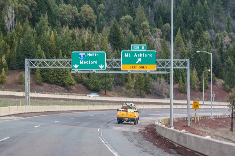
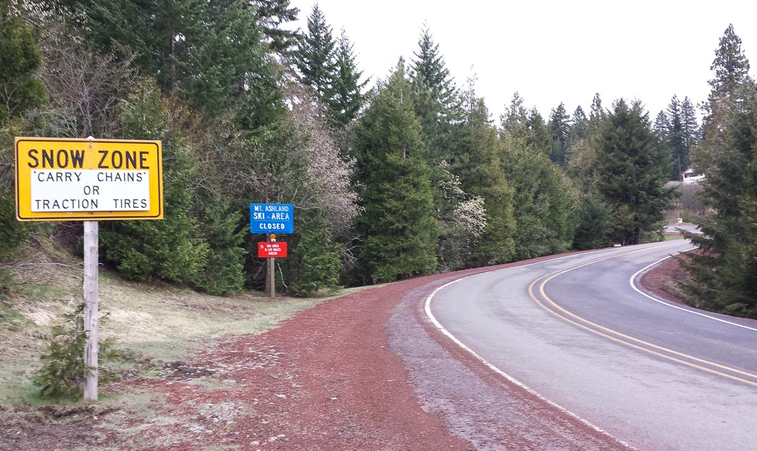
Photos shown taken April 31st, 2014, when the upper road was not yet open.
This is a mountaintop west of I-5 just before California border. Has TV and FM radio transmitters. Good paths, but you must have good filters to keep the RF out of your rigs.
Driving directions: Follow signs to ski lodge via "Mt Ashland Ski Road".
- Continue past lodge, through main parking and then secondary parking.
- At the end of the parking area is a gate that's locked in winter.
- Follow road NF-20 up, keep right at the Y, continue on NF-300.
- Topo zone map: KTVL-TV USGS Mount Ashland
Restrictions: Many years the upper road is still closed by snow in June.
No parking for unattended vehicles Nov 1 - Apr 30.
Cloud Cap, CN82xw53
| 42.931667, -122.036667 |
This is a high point on the E-NE corner of the rim that is over Crater Lake. The highest point is 8065 feet, but requires a half mile walk from the road.
The best place for operating is a pullout about 0.7 miles before the viewpoint. The elevation is about 7800 feet and has a beautiful shot from the North through East.
The shot to Seattle (320 miles, 358 deg true) is up the middle of the Cascades and not as great as one might expect from 7800 feet. Spokane (346 miles, 40 deg true) is very good, with a negative horizon. There is no shot South from this corner of Crater Lake, but I have worked stations in Medford by bouncing off Mt Scott. For microwave work, Steens Mt (175 miles, 94 deg true) could be interesting.
I have talked with park rangers while operating at the pullout and they saw no difficulty with the activity. But, camping at the pullout could be problematic. There is a picnic area on the main rim road, about 1 mile from the pullout. It is almost as good a location as the pullout and it is better for "improvised" camping.
Driving directions: Enter the National Park (fee) from any of the three entrances.
- If you enter from the North, it is shortest to go around the top of the lake.
- For the other two entrances you probably want to go around the bottom.
- Follow the sign for Cloudcap viewpoint.
Restrictions: The road is all paved and snow is off sometime in June or July. The snow banks in the area can stay well into August.
Onion Mountain, CN82ek69
| 42.454304, -123.616154 |
This is a Forest Service Lookout west of Grant's Pass. Bare top.Solar powered repeater on top.
The Forest Service rents the lookout. Check in with Galice Ranger District in Grants Pass for availability.
There is a locked gate at the top. The road is paved except for the last mile.
Mt. Scott, CN82xw81
| 42.922832, -122.016220 |
This is a Forest Service Lookout on a high point east of Crater Lake. Access is by hiking only.
Established about 1923 with a 2-story stone and frame cab, the present 2-story NPS cab, built in 1952, is available for emergencies.
A good starting point for more information is Mt. Scott, Oregon on Wikipedia.
The road is all paved and snow is off sometime in June or July. The snow banks in the area can stay well into August.
Driving directions: Enter the National Park (fee) from any of the three entrances.
- If you enter from the North, it is shortest to go around the top of the lake.
- For the other two entrances you probably want to go around the bottom.
- Follow the sign for Cloudcap viewpoint and look for the Mt. Scott trail.
Restrictions: Hiking only.
Pine Mtn, CN93ms69
| 43.791234, -120.947378 |
This is an observatory run by the University of Oregon with a primitive campground at the top.
Most of the mountain top is really "in the trees". There are a couple of locations that you can drive to and get good 180 degree openings, but rarely an unobstructed 360 degree view.
If you're willing to hike up a short trail, about 100 yards, there's a completely clear spot on the tip top of the mountain that has a 360 degree view. From the looks of the clearing, the observatory holds "star parties" and classes at this location. I should mention, there's another mountain top in the same immediate area (off the same access road) that has some antennas on it, I think it's a little lower than Pine Mtn. I didn't check it out, I just followed the road toward the higher ground.
See also:
Driving directions: 7 miles off hwy 20, S.E. of Bend.
- The road in is very good (graded with a nice washboard effect) clearly
marked to the observatory.
Restrictions: Snow cat required in January.
Lava Butte, CN93hw70
| 43.917433, -121.356797 |
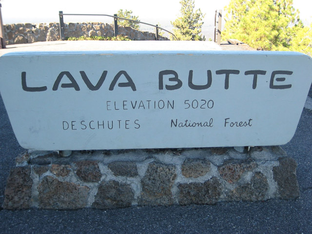
Lava Butte is a cinder cone rising 500 feet above Lava Lands Visitor Center. A cinder covered trail encircles the rim of the cone with outstanding views.
See also the Lava Butte Interpretive Site by the USDA Forest Service for conditions and fire warnings.
There is good but limited parking and a public toilet.
Driving directions: From Bend, travel 11.2 miles south on Hwy 97.
- It is located approximately five miles south of the High Desert Museum.
- It is only 4 or 5 minutes off Hwy 97.
Restrictions: Open 9:00 am to disk. A Forest Service pass is required to park, and they check.
The parking lot on top of Lava Butte is limited to 10 vehicles, so 30 minute time
passes are issued at the Lava Lands Welcome Station on a first come, first served basis.
Closed during winter.
Check the parks department hotline 541-383-5700 for additional restrictions.
Seven Devils Road, CN73th83
| 43.305850, -124.348505 |
Public road on ridge.
Carter Ridge, CN83aw29
| 43.955480, -123.983240 |
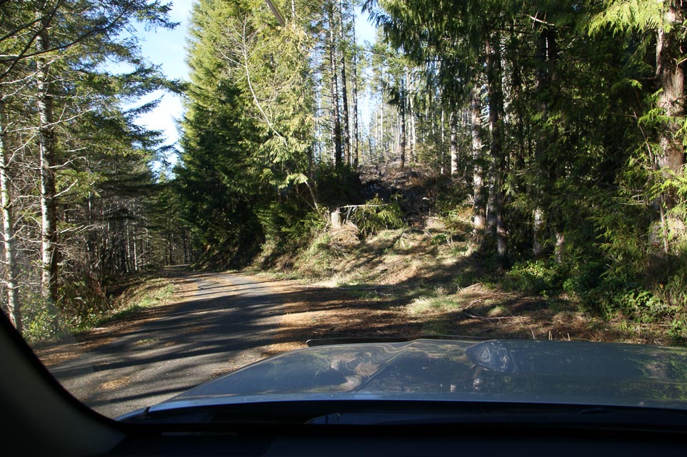
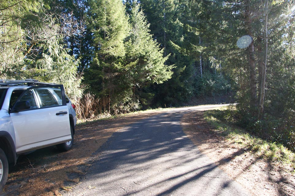
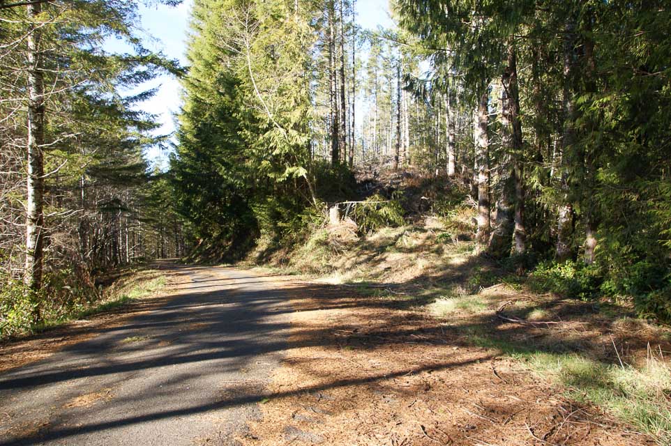
2004-01: There are two operating locations on CN73/CN83 grid line. - Lynn N7CFO
2014-01: Good roads but heavily forested. Yes, this is one way to get into CN83, but its a 20-minute drive and I couldn't find a really good operating position in the clear. - Barry K7BWH
Driving directions:
- South on Hwy 101 going out of Florence.
- Turn left on to Canary Rd. (about 2.3 miles from the bridge)
- Follow Canary Rd for about 4 miles.
- Take left fork on to Maple Rd.
This is marked on maps as FR-953, but the actual sign says Maple Rd. - About 3.5 miles from turning on to Maple Rd is the first operating location, right on the edge of CN73/CN83 border. Elevation is about 850ft.
- If you go another 1/2 mile down the road you hit the second spot, which is in CN83. The reason for going farther into CN83 is because you gain about 150 feet of elevation and get to spot with a clear shot to the North. The GPS coordinates of this spot are 43.95548 N, 123.98324 West.
- If you go too far, it begins a steady downhill slope on the other side, eventually reaching Henderson Creek Road.
Carter Ridge, CN73xw99
| 43.956472, -124.000143 |
2004-01: There are two operating locations on CN73/CN83 grid line. - Lynn N7CFO
2014-01: Good roads but heavily forested. - Barry K7BWH
Driving directions:
- South on Hwy 101 going out of Florence.
- Turn left on to Canary Rd. (about 2.3 miles from the bridge)
- Follow Canary Rd for about 4 miles.
- Take left fork on to Maple Rd.
This is marked on maps as FR-953, but the actual sign says Maple Rd. - About 3.5 miles from turning on to Maple Rd is the first operating location, right on the edge of CN73/CN83 border. Elevation is about 850ft.
- If you go another 1/2 mile down the road you hit the second spot, which is in CN83. The reason for going farther into CN83 is because you gain about 150 feet of elevation and get to spot with a clear shot to the North. The GPS coordinates of this spot are 43.95548 N, 123.98324 West.
Pilot Butte, CN94ib64
| 44.060561, -121.283247 |
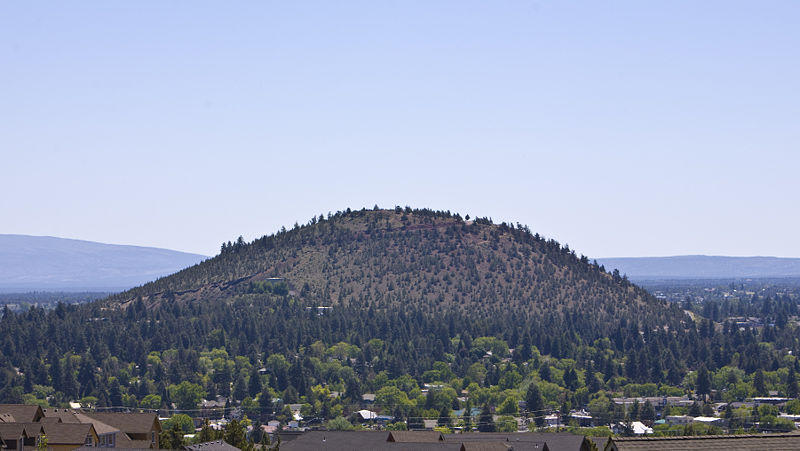
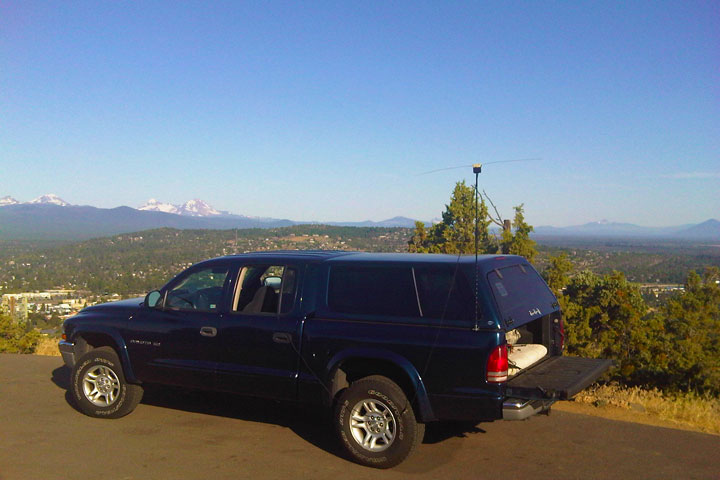
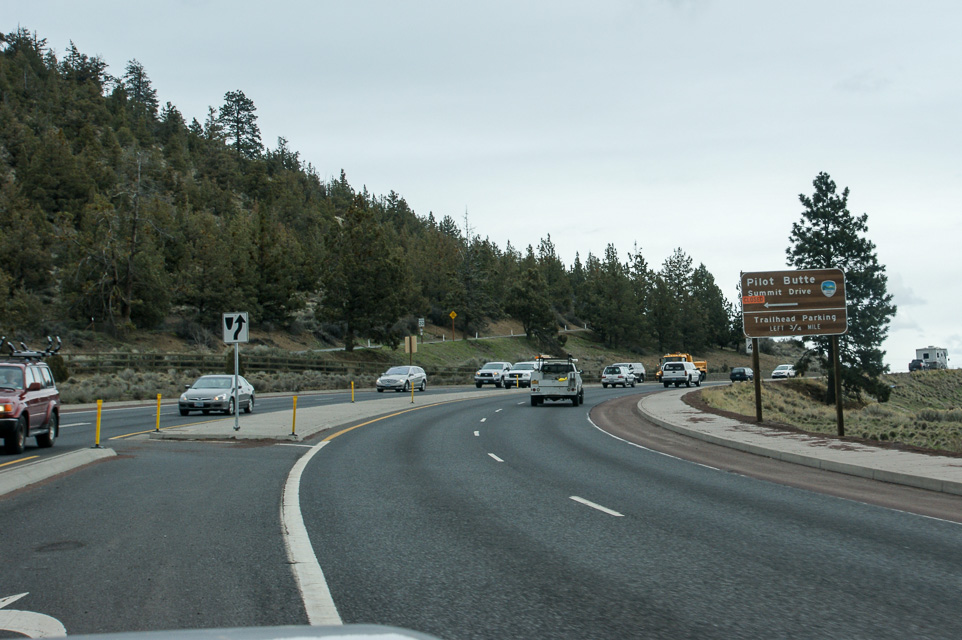
You will be able to see the butte as you come into town. Highway 97 goes between two high spots - the one on the east is Pilot Butte, and the one on the west is a residential area.
The best operating location to the north is the pull-off just opposite the bunker door (you will understand it when you see it). The top of the butte has a road going around the edge, with high ground in the center. The road is not all that wide, though there is room to pull off on the outer edge in several places.
Pilot Butte State Park is a thousand-foot bare cone within the city of Bend, Oregon. It offers great views and propagation in all directions, with low take-off angles and no obstructions.
The best operating location to the north is the pull-off just opposite the bunker door (you will understand it when you see it). The top of the butte has a road going around the edge, with high ground in the center. The road is not all that wide, though there is room to pull off on the outer edge in several places.
There is excellent exposure in all directions. This site is gated, but the gate is generally open, except in the winter.
Driving directions: Take Highway 97 to the middle of Bend. Go east on Highway 20.
- If you are southbound, look for the Safeway on the east side and turn just past it.
- Look for the "Pilot Butte" sign on the left.
- On the way, stop at the Pilot Butte Drive-In on the right for an extraordinary hamburger and an excellent chocolate malt.
Restrictions: Closed during the winter.
Expect a lot of traffic - vehicle and foot in the area. The road to the top is narrow, and there are a lot of hikers and runners on it.
CN94-95 Grid Line, CN95oa20
| 45.000020, -120.813721 |
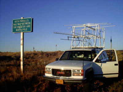
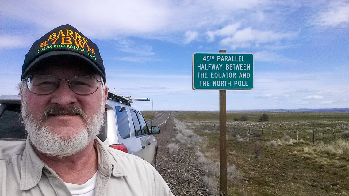
Take hwy 97 until you see the 45th parallel sign NE of Shaniko Junction. There is plenty of room to pull off the road. This is a good park and sleep location there is nothing around but buzzards and truckers.
Note that Hwy 97 does not run north and south here so watch the GPS for accuracy.
CN94-95 Grid Line, CN94ox29
| 44.999900, -120.813700 |
Take hwy 97 until you see the 45th parallel sign NE(?) of Shaniko Junction.
There is plenty of room to pull off the road. This is a good park and sleep location there is nothing around but buzzards and truckers.
Restrictions: Note that Hwy 97 does not run north and south here so watch the GPS for accuracy.
Mary's Peak, CN84fm31
| 44.504390, -123.552400 |
This site is a large parking lot near the top of Mary's Peak. There is a scenic overlook, complete with restrooms and fresh water. You can hike to the top of the peak, but vehicles are not allowed. There are also TV and FM transmitters located on the top of the peak which may cause interference.
This location has excellent paths in in all directions. Per Bob, W7PUA, the best microwave site is on the east side of the lot just north of the restroom.
There is a campground located approximately a mile from the parking lot. It has flush toilets and fresh water, but is not a particularly good operating location due to trees. (Update 7/01 - Per KB7WW, the park is now closed - no overnight camping.)
The road is moderately steep, and is a steady grade to the top. There is also access from the west via a Forest Service road. I made this trip once in hopes of finding a quick route from the coast and found it to be not worth the effort because of road conditions.
See also Topo Zone Map.
Driving directions: I-5 to Corvallis.
- Highway 20 west to Philomath.
- Approximately 1 mile west of Philomath turn southwest on Highway 34.
- Mary's Peak road is approximately ten miles on right.
Restrictions: Nominal access fee charged for entry with a pay station at the foot of the hill.
You can hike to the top of the peak, but vehicles are not allowed.
No overnight camping.
Near Mary's Peak, CN84fm11
| 44.507056, -123.568361 |
Great location looking North and South. I worked into the Rogue Valley(CN82), CN73 and up to CN88 and CN97 on two meters. Both were S5+ on SSB.
Dorn's Peak, CN84gx25
| 44.981253, -123.477809 |
2022: No public access. Gated and signposted on the grid line at 45.0000, -123.4452.
2003: Clear shot north to Seattle Area. Good gravel road access. No microwave gear in the area.
Driving directions: Highway 22 West from Salem to milepost 4.
- 200' west of Buell go south on Gooseneck Road for 4 miles.
- Go left on Gooseneck Access Road for 2 miles to "Y".
- Go left 2 miles to three way.
- Take right fork to top.
Beachside State Park, CN74wj90
| 44.378950, -124.090067 |
Beachside State Recreation Site is a state park with full hookups. They have a small day use area. I have had some excellent openings into California and the Southwest out of this location. Now and then you can make it over the coastal range into the Willamette Valley on 144 and 220.
Driving directions: Five miles south of Waldport, OR on Highway 101.
Tillicum Campground, CN74wi87
| 44.366417, -124.092200 |
Tillicum Beach Campground is a National Forest Service campground in the Siuslaw National Forest about five miles south of Waldport on Highway 101. There is water and flush toilets available, but no electricity.
Driving directions: South of Waldport, Oregon off Highway 101.
From Waldport, Oregon drive 4 miles south on Highway 101.
Campground is on the west side of the highway.
Mount Defiance, CN95dp35
| 45.648500, -121.722600 |
There are radio towers at this location including the Mount Defiance ham repeater.
Driving directions: Allow one hour or more from I-84 turnoff.
I tried a route past the Hood River Golf Course and then up Binns Hill Rd but failed.
The following directions from Bing maps are untested but try this:
- From I-84 along the Columbia River, take exit 64.
- Turn south onto US-30 / OR_35 / White Salmon Hwy
- 6.4 mi, bear right onto OR-282 / Davis Dr
- 1.2 mi, bear right, and then bear right onto OR-282 / Odell Hwy
- 0.4 mi, turn left onto Summit Dr
- 2.0 mi, keep straight onto OR-281 / Dee Hwy
- 4.1 mi, keep straight onto Lost Lake Rd
- 0.2 mi, bear right onto Punchbowl Rd
- 1.5 mi, keep left onto unpaved Dead Point Rd / NF-2820
- 2.8 mi, turn right to stay on Dead Point Rd / NF-2820
- 4.9 mi, turn right onto NF-2821
- 1.8 mi, keep left to stay on NF-2821
- 0.8 mi, bear left onto unpaved road
- 0.7 mi, arrive at Mount Defiance, OR
- If you reach NF-2820 again you've gone too far
Holter Road, CN95qu85
| 45.856076, -120.593403 |
Don't go.
In the 2010s, this was run by Doug K7EVI but succumbed to cancer in 2018. The property is now owned by a non-ham. We have no contact information.
Mountains are Simcoes to the north, Cascades 70 miles west, Goodnoe hills 7 miles south, but the distances provide good take-off angles in all directions. Unobstructed view of the Clark Belt from horizon to horizon.
This is area is remote and off-grid and is radio quiet. Somewhere around here (but not this spot) would be a great location for HF and VHF contests.
Driving directions: Recommended route is Bickleton Highway to Old Mountain Road to Holter Road.
Badger Gulch Road is okay but it destroys tires.
Box Canyon Road is impassable. Don't let your GPS take you to Box Canyon Rd.
Restrictions: Closed. As of 2024, it's no longer owned by a ham.
Bald Peak, CN85lj34
| 45.395400, -123.055900 |
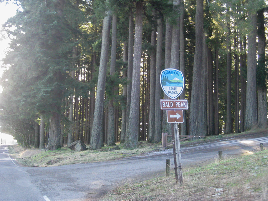
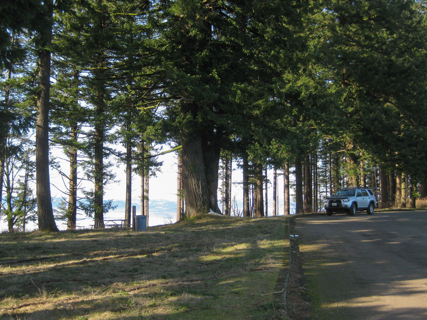
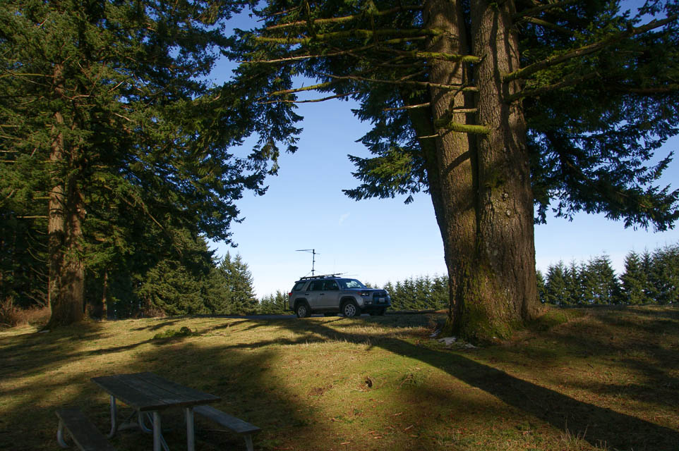
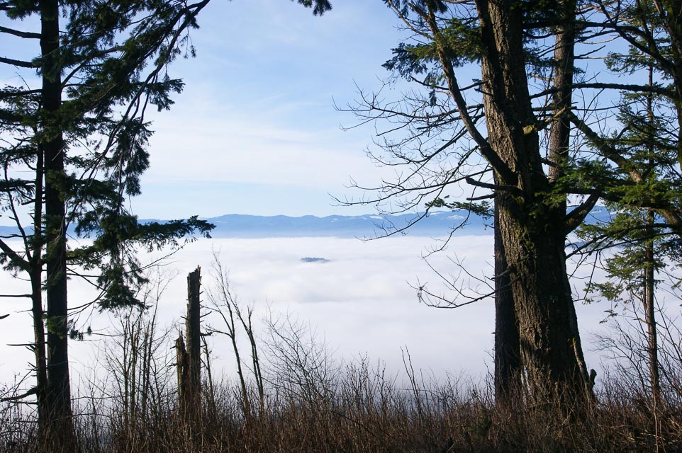
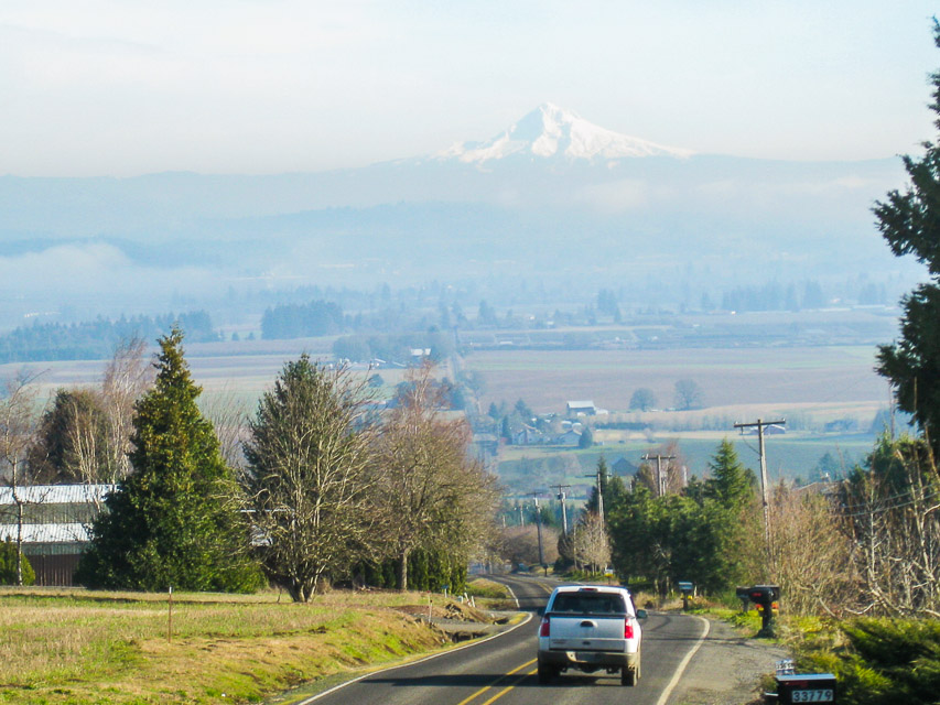
Located in Bald Peak State Park due west of Tigard, and 45 minutes SW of Portland.
It does take time to reach the top; these are slow country roads with plenty of turns and stop signs. Plan to stay awhile with good beams to make the drive pay off.
The state park is the highest point on this mountain and provides a good access to the north and east. From this spot you can see Mt Rainier, the Olympic Range, Mt Adams, Mt. Hood, Mt. Jefferson, and what's left of Mt. St. Helens. Restroom and picnic tables are available. Large circular parking area at top.
A repeater site that is only 20 feet lower is located 1/4 mile west of the entrance. From there you can work all directions clearly except west because of a thin tree line.
K3UHF has worked CN 82-73-89 and DN02-06-07-13-17 and points between from here on 2 meters with a 7 el beam. And he's worked about half that distance on 432. Also he's bounced signals off the mountains on 1296 to Bend, OR from there too.
Driving directions: It is located about 5 miles west of Hwy 219.
- Hwy 219 runs north and south between hwy 26 and Hwy 99w between the towns of Newberg and Hillsboro.
- The road to the park is well marked from Hwy 219 and the access road is named Bald Peak Road.
- Watch out for cyclists in the warmer months.
Restrictions: Signposted "Day use only. 7am to 8pm".
Cascade Head, CN85ab25
| 45.063667, -123.977167 |
SW corner of CN85, just minutes north of Lincoln City.
Driving directions: North on Hwy 101 about 4 miles north of the Hwy 18 (from Salem) intersection.
- Maps show FR-1861 or Cascade Head Road.
- But I only found a clearly marked FR-1861 sign a few hundred yards south of Milepost 101 (on Hwy 101).
- The road is at the top of the grade and travels west along it.
- As it leaves Hwy 101, it's about 800' and climbs to over 1600' in a little more than a mile.
- The road surface is well groomed gravel with few potholes.
- It is gated with a large turn around area at 101 but it appears the gate is generally open.
- The road climbs quickly, then turns and drops a bit.
- There is an excellent pullout at N45 03.82' W123 58.63'
- This has an open view (no trees) to the south and a rock wall about 40' high to the north.
- Just beyond this point the road forks and the right fork loops around toward the north side of the hill.
- It appears there would be a good short north as well.
Larch Mountain, CN85wm97
| 45.532722, -122.087873 |
Larch Mountain is located on Forest Service land an hour's drive east of Portland, OR. It makes an excellent SOTA activation spot. See the SummitPost.org description and driving directions.
There's a nice parking lot with a hike up to a scenic overlook with benches.
Driving directions: From Portland take I-84 towards Hood River and take Exit #22 for Corbett.
- Zero your trip meter at the stop sign.
- At the stop sign you turn right and head up the hill towards Corbett.
- At 1.3 miles the road Y's, stay left at this "Y" and then take a left onto the Columbia Gorge Scenic Hwy.
- Zero your trip meter and proceed for 1.9 miles.
- Turn right onto Larch Mountain Road.
- It is paved and marked with a big sign.
Follow the road to the parking area near the top of Larch Mountain (14 miles).
Restrictions: A recreation pass is required ($5/day). There is no camping but there is a paved parking lot at 3900 feet with rest rooms, see photos above.
Mt Hebo, CN85cf91
| 45.213900, -123.756200 |
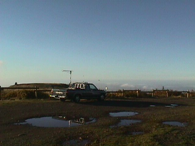
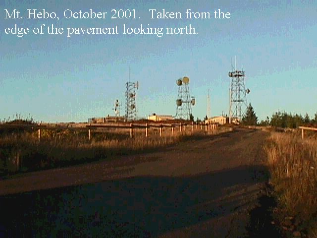
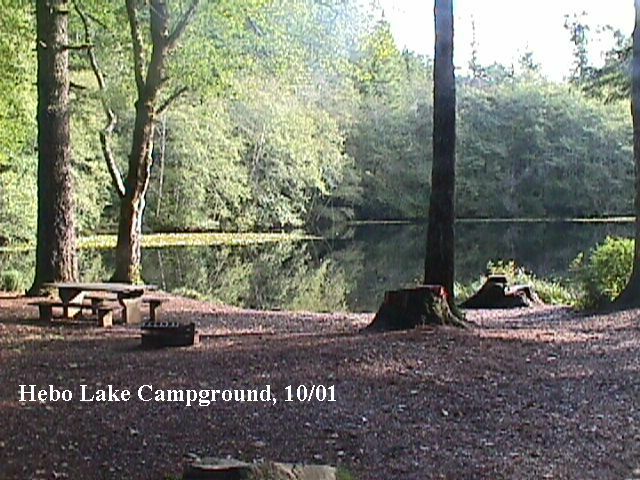
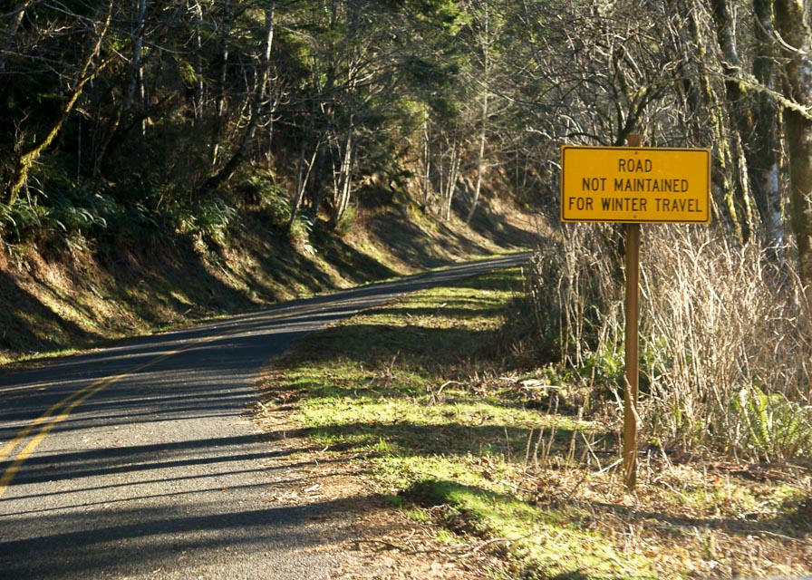
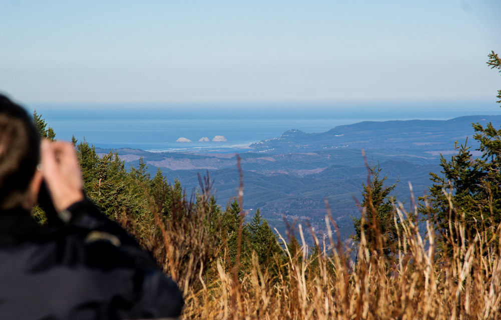
The best site at the northern end has been closed off because of an endangered butterfly in the area. The South site is good, as is the helicopter pad at the middle site. All of the USAF buildings have been torn down but most maps still show them.
2014-01 update: The site is practically unchanged since the last update in 2001. I added two photos. It's line-of-sight with almost everywhere and Rod WE7X /R and I made FM simplex contacts. - Barry K7BWH /R
Driving directions: Take Highway 101 or Highway 22 to Hebo.
- From the town of Hebo, go east on Highway 22.
- Go 0.2 mile and turn left on forest road 14.
- Look for the Hebo Lake Mt. Hebo sign.
- 4.5 miles from 101 you come to the Hebo Lake campground.
- It has 16 sites with piped-in water and pit toilet.
- From the campground you go up the hill 3.4 miles to the top of Mt. Hebo.
- The road is paved except for the last l00 yards or so.
- See also this Topo Map of Mt Hebo
- 5 microwave towers plus 4 buildings.
Restrictions: Road is not maintained for winter travel.
Round Top, CN85hq62
| 45.677300, -123.362400 |
This is where the Tecktronic club went for years for the June VHF contest. No RF on this one, bring your own.
Driving directions:
There are 2 ways in. I prefer coming in from Timber, but the other way is almost as good. You should drive in a week or 2 beforehand to check the road. There is very little maintenance on the roads. Make sure you take a shovel with you and dig out the drainage ditches in the big mud hole or to dig yourself out if you get stuck. This mud hole is spring fed and no place for a car.
See this Topo Map of Round Top.
Restrictions: Unmaintained road. Bring shovel.
South Fork Mountain, CN85vc11
| 45.091300, -122.240400 |
Paved road to within 3/4 mile of the top but watch the last 1/2 mile. This site is sometimes not open for the June contest because of snow. Have a chain saw with you as you go through a grove of trees before you get to the top - some years there are blow downs.
Driving directions: On the highway from Colton to Estacada turn east at sign to Dodge.
- Follow the road through Dodge and into the National Forest.
- Have a forest service map and you will get there ok.
- Also see this Topo Zone Map
Nicolai Mtn, CN86gc50
| 46.086194, -123.452220 |
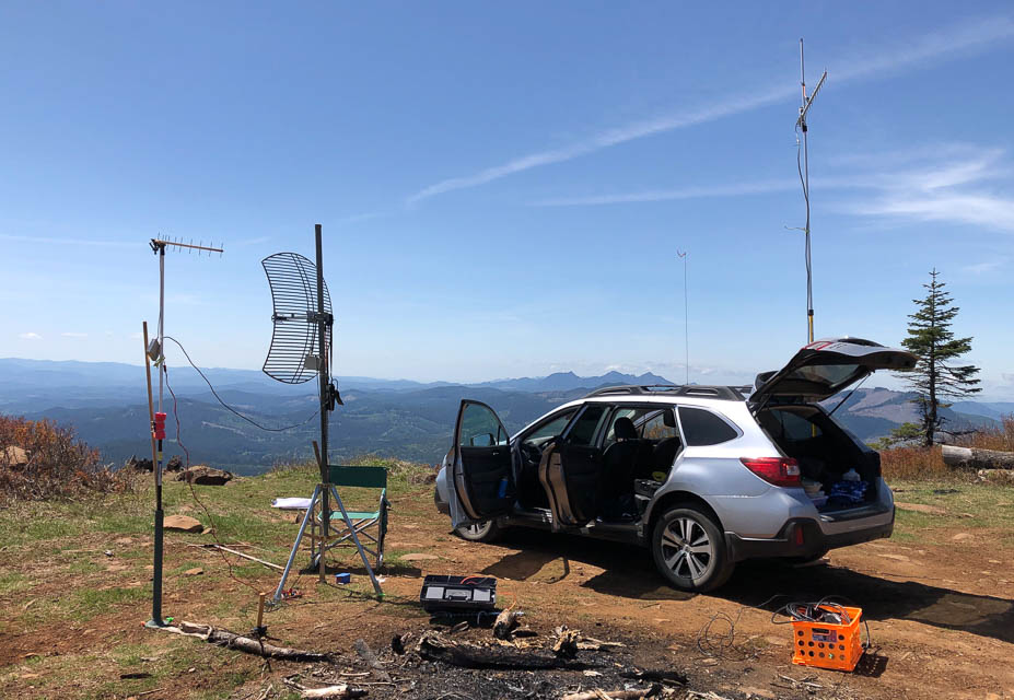
Visited by N3EG during the 6 meter sprint in May 2002.
Also visited by Mark KE7MSU in the microwave sprint in May 2019.
Driving directions: From Earl N3EG in May 2002:
- Take highway 30 west from Longview.
- After Clatskanie, Westport, and Wauna, you will start up Bradley Hill.
- At the crest of the hill, look on the left for the first dirt road.
- As soon as you start up the road, you will see a cellsite on the left.
- Keep going and follow the main road up using CB channel 29.
- After 4.5 miles, you will want to keep right.
- You will see a rock with "OSU" painted on it if you're going the right way.
- At 5.5 miles you will see a rock pit on the right and start going downhill.
- This condition is normal - do not panic.
- After 8.5 miles you will see a rock pit on the left, and you will take a right up the hill.
- Stay right at the next intersection and you will be on Foster Hill road.
- Take the next right on Simonsen road and at the next intersection go straight.
- You will come to a gate - if it's locked, go left - otherwise, go straight.
- You will wind up at the site either way, but straight is better.
- Warning: On the way down, you'll find an annoying deceptive fork in the road. Go left.
- On the main line, you'll find another fork farther down - go right.
Surfside Golf Course, CN76xm37
| 46.531445, -124.054398 |
Cape Blanco Park, CN72ru20
| 42.836073, -124.559898 |
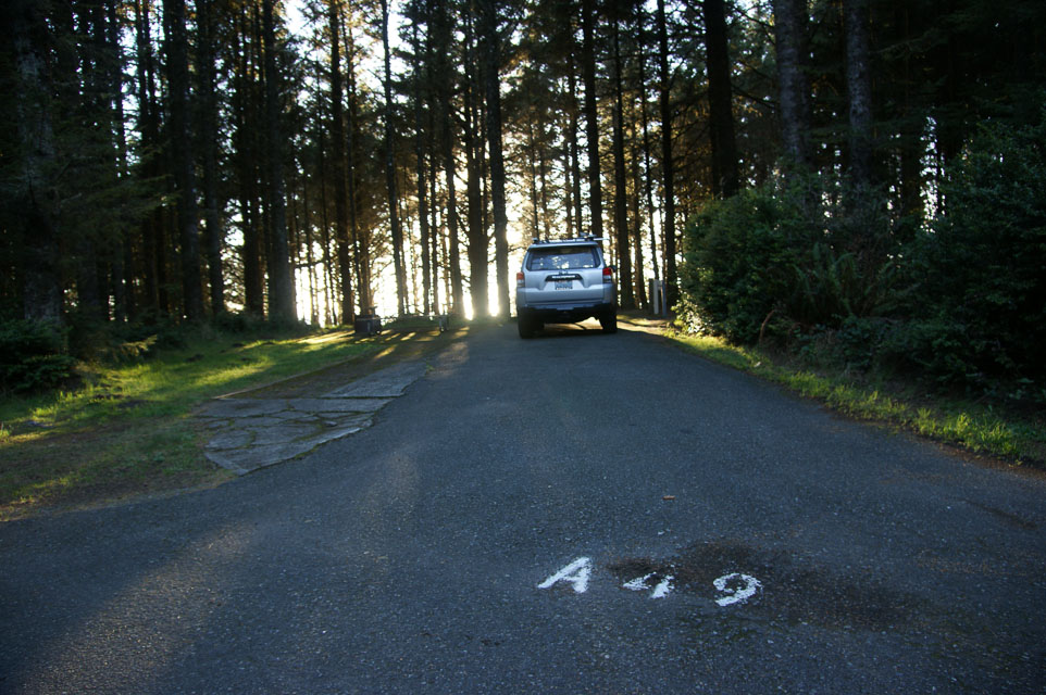
This is a large state park with extensive day-use areas and campground. It is located on the westernmost tip of land in Oregon and has excellent exposure to the north, south, and west. It is far enough from the coastal range to have a good path to the east.
This is a terrific spot for attempting long range over-the-water contacts to the north and south. Some of the nearest grid is blocked by Humbolt Mtn; in Jan 2014, we were unable to reach Crescent City nearby in CN71.
Operating from the campground is OK, but the campsites are all surrounded by heavy brush and trees, so UHF work would be rough. The best operating location is in the parking lot near the lighthouse, but ocean breezes will be strong all day.
www.oregonstateparks.org/park_62.php
Driving directions: South of Coos Bay on Highway 101. Watch for signs.
Restrictions: Winter occupancy is low. Summer campsites work best with reservations. All camp sites minimum $16 and most have electrical hookup included. Lighthouse road is open April - October.
Fort Stevens State Park, CN76xf92
| 46.217302, -124.002900 |
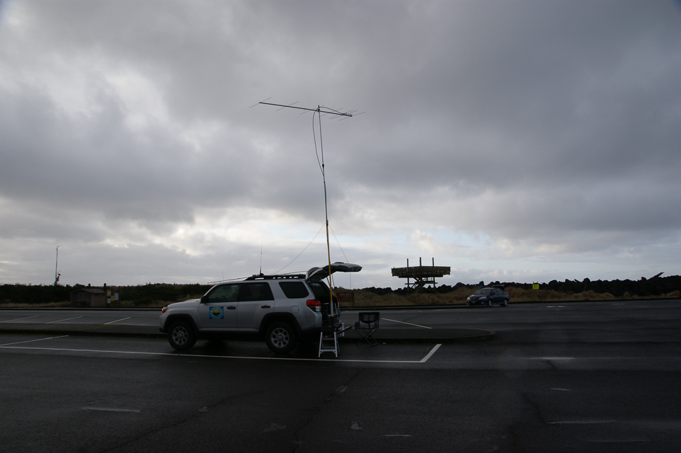
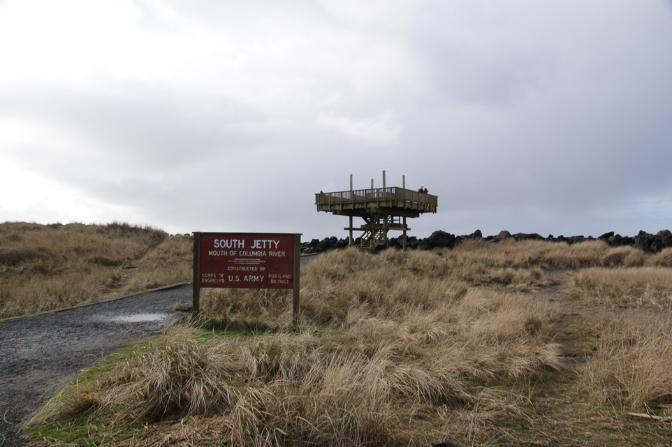
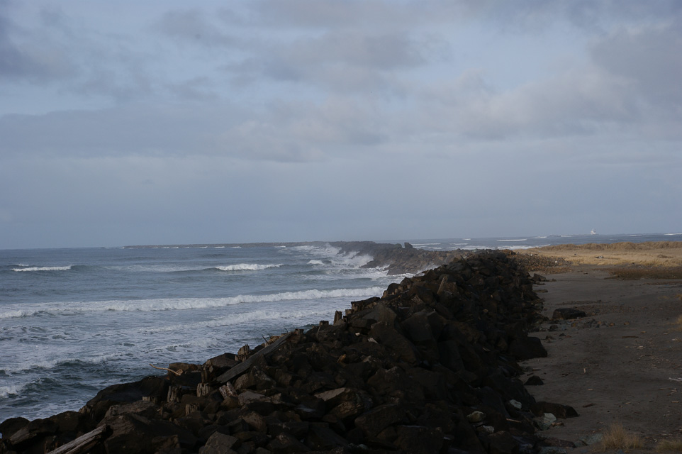
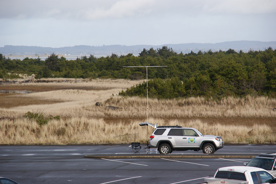
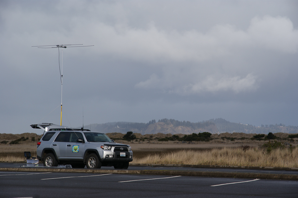
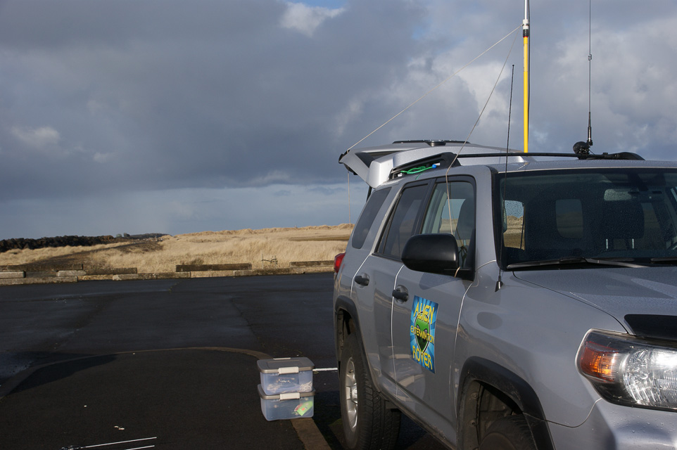
This is a parking lot in Fort Stevens State Park.
This is a wide area of flat land on the end of a spit, and the propagation in all directions is very good. The path to the north and northeast is over the Columbia river, so there is a good launch angle before you hit the distant coastal mountains.
Also see CN86 Fort Stevens only a mile away.
Driving directions: Take Highway 101 to the Fort Stevens entrance, 10 miles west of Astoria.
- At park entrance, get a park map at the ranger station. Local road signs are unhelpful.
- Go north on south jetty road.
- The CN76-CN86 line is about 100 yards south the turn off into Lot B.
- Use either Parking Lot B (preferred) or Lot C. Both are fully in CN76.
- I visited Lot C but it's quite busy in all seasons where people visit the raised observation deck.
- Don't use the Shipwreck spot, the parking area is very limited.
Restrictions: No fee to park out on the spit.
- Other day-use park areas require a permit, e.g.,
camping, Coffenbury Lake and Historic Military Site.
- Day use only, 6 am to 10 pm.
- Pets on leash. Metal detecting requires permit.
2014-2-1 update by Steve/KE7IHG:
I had a pleasant phone conversation with Teri Wing the manager
at the park on Thursday afternoon.
The local Ham's have been using the park for field day for
many years now and she has a good relationship with that group.
As for operating as a rover in the park, no permit is needed and
no parking permit is needed for the parking area's on the spit as they
are deemed "Beach access". If you would park at the lake or the military
museum then you would need a parking permit.
If you put up an antenna that is not attached to the your vehicle
then you need a permit.
We're welcome at the park.
Fort Stevens State Park, CN86af14
| 46.226500, -123.990000 |
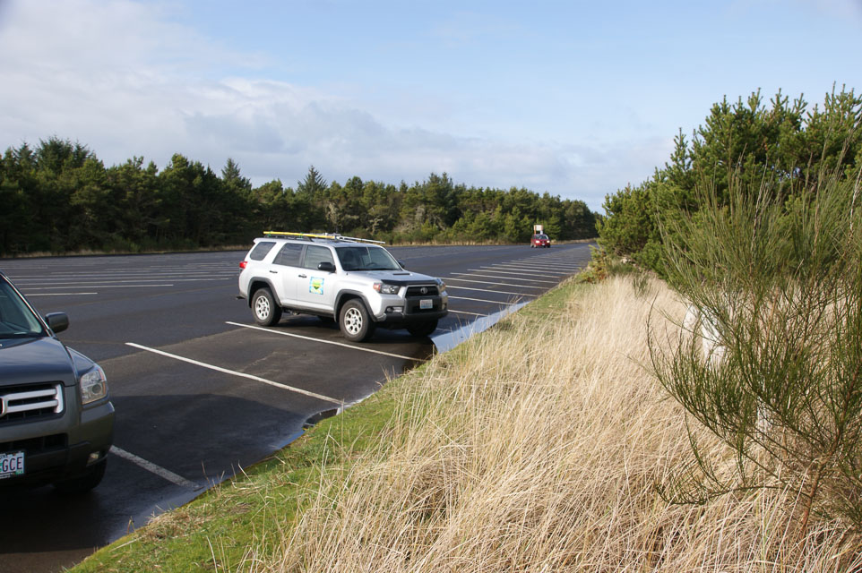
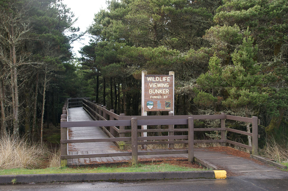
This is a parking lot in Fort Stevens State Park.
This is a wide area of flat land on the end of a spit, and the propagation in all directions is very good. The path to the north and northeast is over the Columbia river, so there is a good launch angle before you hit the distant coastal mountains.
This is an excellent spot for watching huge cargo ships entering the Pacific Ocean, taking long walks on the beach and watching wildlife like birds and elk.
Also see CN87 Fort Stevens only a mile away.
Driving directions: In Oregon, drive north and west until you can't.
- Find Parking Lot D.
Restrictions: No fee to park out on the spit.
- Restroom but no other services.
Roads End State Park, CN75xa81
| 45.008050, -124.009533 |
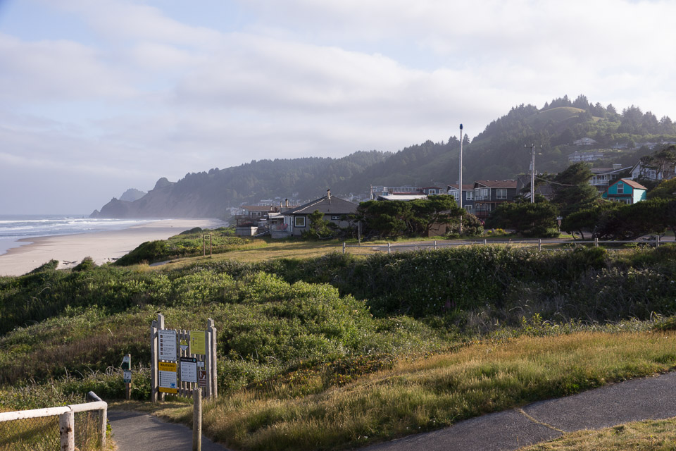
Roads End State Recreation Site is a parking lot on the beach. It has a ridge behind it to the east, so it is not a particularly good location, though it is public. There are restrooms and fresh water and lots of foot traffic.
From this state park on the beach, you have an excellent view of where you want to be, up on The Knoll Open Space. In June 2015, I'm not sure that anyone living there really appreciated me pumping a kilowatt at 50.140 MHz into their expensive homes on the hillside. But enough of it reached Seattle CN87 that I finally completed a few contacts.
Driving directions: Turn west off Highway 101 opposite the McDonalds on NW Logan Loop Road.
- You pass into CN75 just before you get to the Liberty Inn.
- Continue almost one mile down Logan Loop Road.
Restrictions: Day use only. Open 6am to 10pm.
Voyage Avenue, CN75xa90
| 45.000500, -124.000500 |
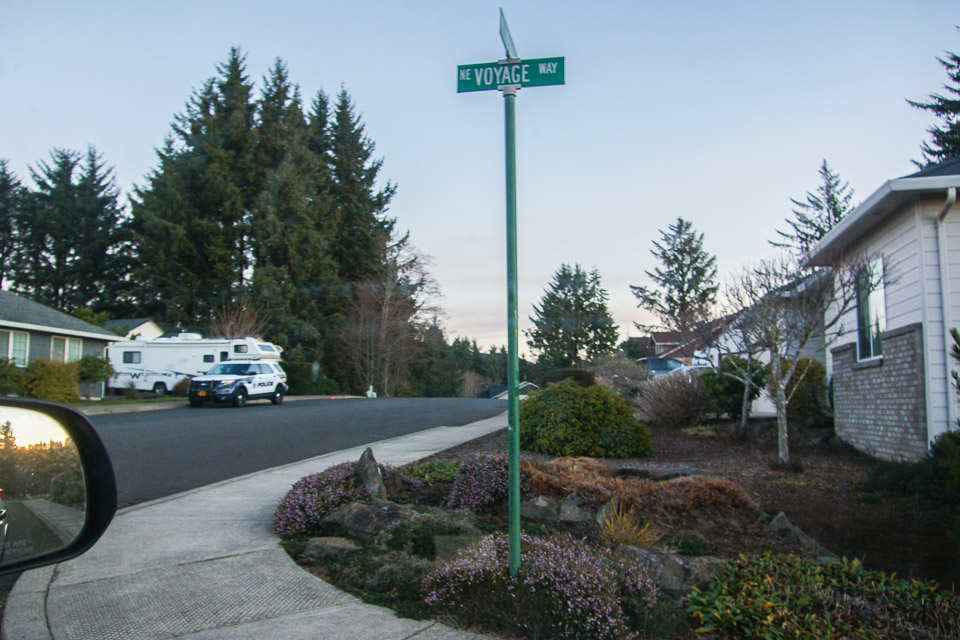
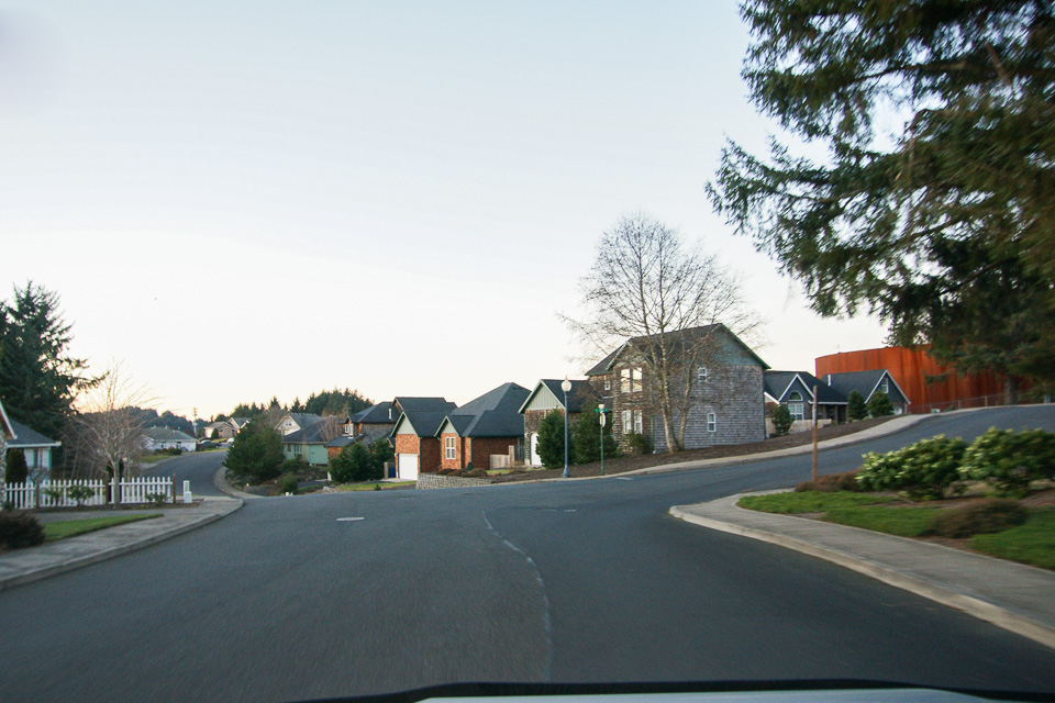
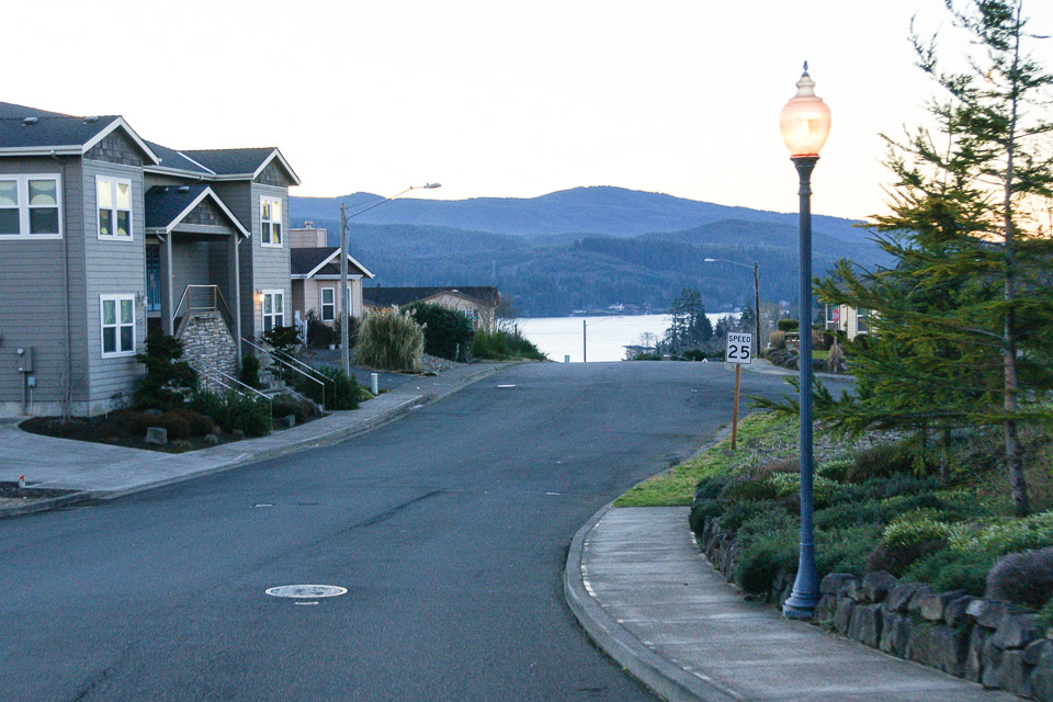
2014-01: The hilltop is fully developed and there's no good place to park. - Barry K7BWH
2001-12: This site is in a subdivision under construction. Houses are going in all of the time, so it is hard to say what you will run into. It is on high ground west of Highway 101, and can only be listed as an "adequate" operating location since there are no "good" ones in this oceanside grid.
Driving directions: This is on the west side of Devil's Lake in Lincoln City.
- Turn west from Highway 101 onto "NE West Devils Lake Blvd"
- Up hill into "Sun Ridge by the Lake"
- Go left on NE 47th St
- Turn right on Voyage Avenue at the top of the hill
- Just before the intersection of Voyage Avenue and NE 49th you go into CN75
Cape Lookout, CN75xi91
| 45.338900, -124.000800 |
Update de KC7TS: I doubt if any big operations will ever be mounted from here. There is a parking lot (thieves paradise) with quite a few spaces, where you can leave your vehicle to be plundered while hiking out the trail. The trail is (was) in pretty good shape, but I haven't been there in many years. It is a little over 1 mile to get across the line, and you still have lots of trees once you're there.
Low Divide Pit, CN71xv92
| 41.887354, -124.003631 |
Low Divide Pit is an old mine tailing pit with easy access. Road is rough and steep so takes some time to get here, but easy to do in any vehicle while paying attention.
When you're in this area, check these:
Driving directions: From HWY 199 drive north on FS road 17N49 to entrance of tailings pile.
High Divide, CN71xv48
| 41.911751, -124.048202 |
Needs scouting.
Myrtle Creek, CN71xv31
| 41.880292, -124.057448 |
Baynes Peak, CN88ft72
| 48.801890, -123.517530 |
Baynes Peak has a lookout tower in the Mt Maxwell Provincial park on Saltspring Island. The top is accessible by road.
Mt Prevost, CN88ct89
| 48.832511, -123.765660 |
Mt Prevost is a must-see if you are vacationing on Vancouver Island - the wife and kids will love it. There is a white cairn on the top which is clearly visible from the highway on sunny days. Often accessible even in the winter, or one can just drive to the first switchback and operate from there. Lots of tourists and local kids partying. Gravel road, but even a BMW can make it.
Driving directions:
- North on the TCH from Victoria. You can see the double summit from the town of Mill Bay, as you approach Duncan on the TCH.
- Go through Duncan. Just North of town turn left to Hwy 18 towards Lake Cowichan at the Esso Gas Station.
- Go West about 1 km, just after the railroad tracks turn right (North) to Somenos Road. After about 500m turn left to Mt. Prevost Road. There is a sign that says "Mt. Prevost Memorial Park, 7.1 km". It will turn into a gravel road at the Municipal Gate. Gate is rarely closed, only in summer high-fire-danger season.
- Follow climbing road. After about 2km there is a switchback with a beautiful view. Elevation about 1000'. Keep going.
- After about another 2km, just past a little gravel quarry there is Satellite Road. It is marked by a sign on a tree, easy to miss. Road goes on the boundary of a clear cut and climbs quite steeply.
- Follow Satellite Road for about another 2km as it winds through the forest. You'll get to a clearing covered with black shale/sand. Can't miss it. It's just under the summit. There are a few trees, but I think K7CW/VE7 worked into Tacoma on 1296 from there.
- The summit is not accessible from this location, but if you do not take the right turn onto Satellite Road and follow Mt. Prevost Road instead, it will take you to the summit. The road ends between the twin summits, you have to hike to the top. From the summit parking lot there is too much rock in the way, so I don't recommend operating from there. But if you take the 2 minute hike to either summit the view is breathtaking.
Bear Mtn Viewpoint, CN88fl60
| 48.459989, -123.529438 |
Mt Benton, CN88bv86
| 48.902119, -123.847026 |
This is the VE7DXG Contest QTH, who uses it as the BEST location on Vancouver Island, covering most of Washington state and beyond. It is located 1.5 hours from Nanaimo Ferry and is gated at the bottom. Members of the Cowichan Valley Amateur Radio Club have permission to pass through the gate and also have keys.
Driving directions:
- Turn West from the Trans Canada Highway in Chemainus at the Shell gas station onto "McMillen-Blodel Hauling Road" at the traffic lights. Follow gravel road about 500m to four-way stop. Go straight about 100m, to the gate.
- The gate is manned year-round and locked overnight. The local radio club has keys. If you just want to stay for the day tell the gatekeeper that you are going to the "Repeater" and you don't even have to pay the toonie ($2) to get in. Just make sure you are out by closing time (6PM in winter, 9PM in summer). The repeater on top is on 146.680 and 442.600.
- After the gate, follow the Copper Canyon Main (also called Chemainus River Road) to the missing 10 mile marker. (Don't worry, 6,8 and 9 miles are marked. The 10 mile signs fell down a few years ago.) Very nice and wide gravel road.
- 10-Mile Road (also called "12 mile" for unknown reasons) is right after a very prominent bridge, can't miss it. Turn right (the only way) to 10-Mile Road and follow it.
- It's a long drive, after about 15 minutes you cross another bridge.
- Keep going and after about another 15 minutes on the plateau the road turns sandy and makes a fairly sharp right turn. There is a very rocky road going to the left to Hollyoak Lake, that was marked by bunches of flagging tape in 2003.
- After about 500m you will see the tower and a white building on the summit. Just keep going towards it. Cross the earthen dam and keep going straight. You can get this far with 2 wheel drive.
- Put it in 4 low and follow the road to the summit. Very rough road. There are usually people around that can guide you to Hollyoak Lake. The site overlooks the lake.
Malahat Summit, CN88fn46
| 48.567502, -123.547030 |
Malahat Summit Viewpoint, also known as Split Rock viewpoint, is a popular scenic overlook along the Trans Canada Highway (TCH), 20km North of Victoria. Popular lookout spot. Restrooms, big parking lot.
This is the highest point of the TCH on Vancouver Island. I used to go there when I had no VHF at the home station to work aurora in winter. Good shot to CN89, 88, 87, even CN85. I worked WA7GSK/DN13 on 2m from there. The only drawback is the large number of tourists.
Driving directions:
Accessible year round, can't miss the big signs on the highway.
Ucuelet, CN78fw51
| 48.924387, -125.538342 |
At the end of the Ucuelet Peninsula is a Coast Guard Radio Station and parking areas for hikers to the beach.
In 2003, there were low scrub trees obscuring a clear SE view. This location is decent for 2M and 432 though to south Puget Sound and bigger Seattle/Woodinville stations further north. Washington and Oregon Coast is good.
Mike K7MDL parked at the access gate to the transmitter towers just north of the Coast Guard station buildings which have beach access by foot. Allow 2.5 hours to get back to the Nanaimo ferry from here. It is 30 minutes to Radar Hill in CN79 just North.
Minute Creek, CN78um23
| 48.513010, -124.315422 |
Minute Creek overlooks the ocean at your feet. Very good shot to the South over the Olympics. Can work CN85 with ease from there. There are strange reflections toward CN87, but signals are quite strong even on 432. In 2002, we needed a decent 2 wheel drive pickup to drive the road. There are other spots on the highway between Jordan River and Port Renfrew that have good shots to the South, this one just seems to be the highest. I worked KC7VNA/DN06 on 432 from here.
Driving directions:
About 5 km East of Port Renfrew on the highway from Victoria
to Port Renfrew, signs mark "Minute Creek" and "Minute Creek Forest
Service Road".
Take the Forest Service Road North, up the hill.
Keep left as it forks after a 100m or so.
Go another km or so, and just as the road goes into the forest,
there's a switchback, with very nice views of the Straight of Juan
de Fuca.
There is room to park as it was a landing for logging operations.
Malaspina College, CN89ad37
| 49.157583, -123.973071 |
Malaspina College (now Vancouver Island University, I think) has a local high spot with easy access. Modern scouting is needed.
Good shot to CN89, CN88, CN87. VE7QV lives on the top of the hill by the microwave tower, but there is no room to park by the tower. About 500' ASL. I usually work N7AU/DN07 from here with ease.
Driving directions:
Paved road all the way.
Take the Island Highway (also called Nanaimo Parkway, or Nanaimo Bypass).
There is a traffic light at Second Street, by Malaspina College.
Turn West on Second Street and after about 200m, there is a large
clearing on the right.
Park under the power lines, overlooking the college buildings.
Radar Hill, CN79bb99
| 49.083250, -125.840930 |
Radar Hill is a tourist area just south of Tofino.
There is a very good shot to the south. There is a thin ring of fir trees that obscure the view but 6m through 432 proved very good into Puget Sound and points south. There is a rock wall at the back of the lot which might serve as a reflector. The viewpoint looks primarily west, but a SE shot is possible if you can carry your gear out to the viewpoint rail; it might be 10-12 yards from the parking lot. Consider making a CN78 to CN79 microwave shot if other rovers are in the area.
Driving directions: This site is easy to get to. The road is paved all the way to the top. Two parking lots are at the end of the road a short distance from the highway. Mike K7MDL prefers the upper lot.
Restrictions: The gate is closed at night by park rangers. $10 (Canadian) is required to enter park, payable at a self service machine so bring cash. There is an outhouse available.
Zeballos, CN69nx76
| 49.986570, -126.857000 |
Don't go. Zeballos is a very small town at the waters edge on a cove inlet on Vancouver Island.
No signals were received due to shielding by very steep and high mountains south, east and north. SE view is obscured. My hope was to go NW through the town of Oclucje to forest road FR-30 at 1000 ft elevation on the CN69/CO60 grid line and maybe shoot above the hills and a peninsula further SE. Upon arrival there was a sign requiring vehicles with permits only so Mike K7MDL stayed in town. About 1.5 hours off Hwy 19. All gravel logging road. Great scenery though.
Mt Tolmie, CN88ik09
| 48.456409, -123.325213 |
Mt Tolmie Park is a local drive-up in Victoria for a quick stop and slight rise in the big city of Victoria. No toilet.
Cypress Lookout, CN89ji84
| 49.352969, -123.178084 |
Cypress Mountain Lookout is a good parking area overlooking West Vancouver BC with open skies W-S-E. This road continues futher uphill to ski areas and the Cypress Provincial Park.
Mt Woodside, CN99bf49
| 49.248114, -121.877990 |
This is a bit lower altitude than my usual spot in CN99 but worked ok for meteor scatter (6 completed qso's.) The view is to the south west.
Island View Beach, CN88hn58
| 48.576448, -123.368723 |
Island View Beach Regional Park. operates seasonally from the Victoria Day long weekend in May to the Thanksgiving Day long weekend in October. On a clear day you can see Mt Baker and the Twin Sisters peaks.
The campground has 18 beach front RV sites, 5 treed tent trailer sites and 24 treed tent sites. The CRD's website allows you to reserve and pay for a campsite. Reservations can only be made up to 30 days in advance. You can login or create a CRD account here.
Rovers might find advice from the Nanaimo Amateur Radio Association, VE7NA.
Mystic Forest RV Park, CN71xn18
| 41.576025, -124.074240 |
Crissey Field Rec Site, CN71vx49
| 41.999999, -124.210417 |

Don't go: the CN71-CN72 grid line is gated off. A sign says "Authorized Personnel Only" at the entrance to the stub road. You can try operating from the Visitor Center parking lot. However this is a popular place and very busy in the summer.
Shelter Cove, CN70xb71
| 40.048578, -124.020985 |
The road towards Shelter Cove before you drop down the hill is a good place. There are some nice wide spots alongside the paved road. The heliport north up Queen's Peak road was very overgrown last time I was there--a couple years ago--but due to later forest fires it now may be cleared.
Shelter Cove Road has some nice shots to Portland, southern Washington, northern Nevada, and into central California on two meters. Good six meter take off angles. - 2008 W7KLK
Point St George, CN71us98
| 41.783425, -124.252157 |
The Point St George parking lot is about about as far west as you can go in California. It's about fifty feet above sea level. Good distance away from the hills so take-off angle is pretty good. On 144 I have worked to Portland and down to Sacramento area with 150 watts and 12 elements, however mostly to big gun stations. - 2008 W7KLK
Driving directions:
From Crescent City, take W Washington Blvd toward the airport.
Continue straight on N Pebble Beach Dr to the end.
Restrictions: Daylight hours only.
Dry Lake Mtn, CN81mv77
| 41.907880, -122.940364 |
Dry Lake Mountain is a remote peak in the Sisiyou range, not far from the Oregon border, with good horizon in all directions.
Bald Hills Rd, CN81ag10
| 41.253299, -123.986458 |
Bald Hills Road runs along a coastal ridge line in the Redwood National Park that connects eastern CN71 with western CN81. There is convenient access from Hwy 101. Do some scouting further east along this road to find the best spot.
M Line, CN71xb34
| 41.058553, -124.050953 |
Needs scouting.
Maple Creek, CN71xc03
| 41.097294, -124.079706 |
Needs scouting.
Bald Hills, CN71xg96
| 41.276680, -124.005109 |
Needs scouting.
Redwood, CN71xm50
| 41.504021, -124.041439 |
Needs scouting.
NF 17N21, CN71xu69
| 41.872490, -124.025289 |
Needs scouting.
Dorris, CN91bw46
| 41.943370, -121.877725 |
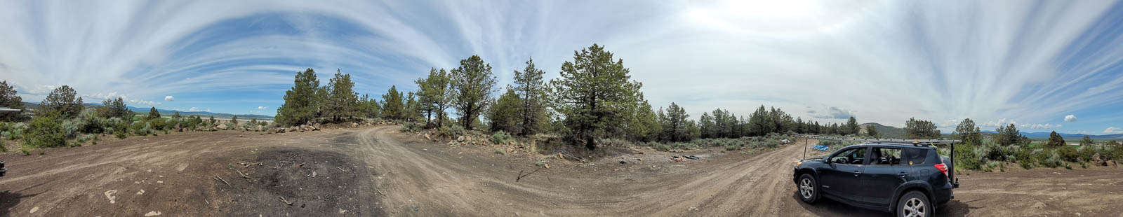
Quick and easy decent sized pull out on side of road. Has a dirt road that winds to the north under some high tension power lines.
Looks to have great take off in all directions, ridge has a slight rise to the north.
Driving directions: From Dorris, Ca head East on E 4th Street.
Turn right onto Center St.
Follow Center St onto Dorris-Brownell Rd.
Stay on Dorris-Brownell Rd. for 2-1/2 mile.
Fickle Hill Rd., CN80at12
| 40.802300, -123.984600 |
Fickle Hill offers a ridgeline in the Jacoby Creek Forest.
There is a pull-out on the main road as you enter CN80. See Google street view. Looked to have a decent amount of room, I should have stopped and investigated as I drove past but I was short on time.
There looked to be a clear path ENE->E->S. On this trip I was scouting for CN70 spots and was short on daylight; I'll return to operate from here the next time I drive by.
Driving directions: From Hwy 101, take Exit 713 east onto Samoa Blvd
At the traffic circle, take the 3rd exit onto Union St
Turn right onto Bayside Rd
Slight left onto Fickle Hill Rd
Turn right to stay on Fickle Hill Rd
Fickle Hill Rd turns slightly right and becomes Park Ave
Continue onto Fickle Hill Rd
Restrictions: Open public road with pullout to a pair of closed off logging roads. Across road from Fickle Hill Observatory.
South Jetty Humbolt Bay, CN70ur82
| 40.716840, -124.259722 |
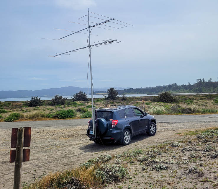
This is in the South Humboldt Bay State Marine Recereational Park, www.parks.ca.gov, one of California's MPA (marine protected area).
There are many locations along the long road on the south jetty. Also a high spot just before the park entrance, camped there the night before waiting for the park to open. All are visible from Google Maps and in street view.
Clear takeoff in all directions for miles. Even being just above sea level worked really good.
Driving directions: West off of Hwy 101 to Hookton Rd.
Continue onto Table Bluff Rd,
then the S Jetty Rd.
Enter through park entrance.
Road is paved all the way although it's pretty rough and narrow.
Signposted 25 mph and the locals drive pretty fast.
Restrictions: Park opens one hour before sunrise and closes at posted time.
Strawberry Creek, CN70xx24
| 40.978724, -124.062323 |
Local promonotory on a forest ridge. However, this land is owned by the timber companies and has restricted access.
Shively Ridge, CN70xl94
| 40.475811, -124.002520 |
Shively Ridge Road runs E-W along a ridge. Needs exploring.
Fox Camp, CN70xh17
| 40.323533, -124.067139 |
From satellite view, looks like an open spot on a ridge. The Fox Camp Multi-Use Trail needs exploring in the Humboldt Redwoods State Park.
Horse Mtn Ridge, CN70wd90
| 40.125961, -124.084185 |
Surely there must be some good place to camp and operate on Horse Mtn Ridge that runs N-S.
Horse Mtn, CN70xc15
| 40.105835, -124.066687 |
Kings Peak Rd follows a long N-S ridge.
Paradise Ridge, CN70xc46
| 40.109299, -124.044987 |
Paradise Ridge offers a long ridgetop road running N-S. This spot is at the beginning of the northern end.
Etter Ranch Rd, CN70xc75
| 40.104501, -124.017143 |
Soldier Mtn Lookout, CN91fb27
| 41.074166, -121.562738 |
Soldier Mtn Lookout is high above the Lake Britton plateau. It looks driveable on the satellite maps.
Sugar Hill Lookout, CN91ut02
| 41.803819, -120.326736 |
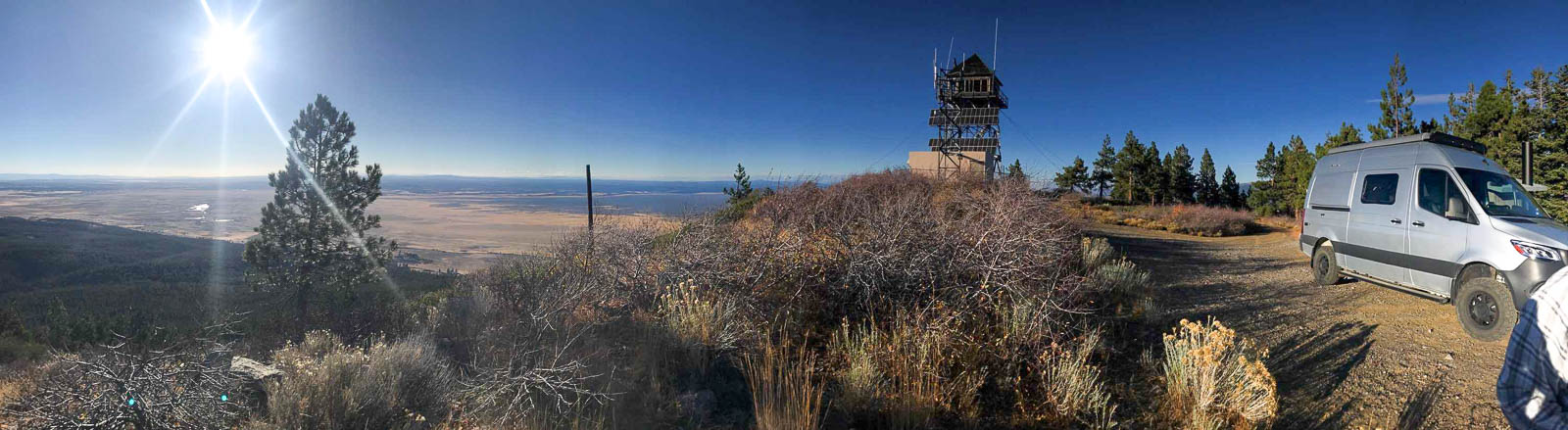
Sugar Hill Lookout is a peak in the Modoc National Forest above Goose Lake, just east of Hwy 395. It's a killer spot for radio, the highest spot around with open horizons in all directions.
Driving directions:
Use Forest Road 133C to get started on your way to Lassen Creek Campground, a nice place to camp and hike. From the Campground follow the road that is on the West side of the CG South for several miles to a good 4 way intersection. Your map may show it as Sugar Hill Rd but it is the hard right turn at the 4 way intersection -- continue up hill to the fire lookout.
You can camp at the lookout and there are nice toilets there. The graded road conditions are smooth for the most part and when we went in the fall even a passenger car would have been fine.
Stick to the best roads, even if it looks like a longer route, because some of the "roads" on the maps are for Jeeps or quads.
Restrictions: This is very exposed -- you can get strong wind and even some snow in October.
Lake Britton, CN91ea57
| 41.031160, -121.617873 |

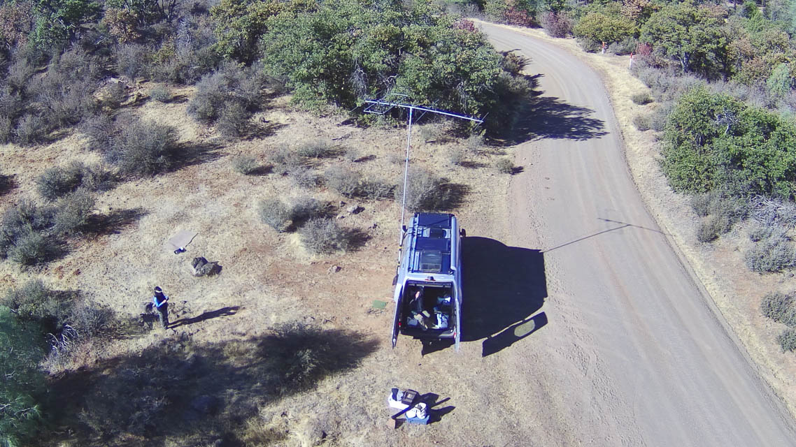
In the plateau above Lake Britton are several likely spots to operate, east of the HWY 89 and road 37N03 intersection, and just north of the Burney Falls / Lake Britton area.
It gets C+ for horizon but an A for accessibility, John NA6L worked many stations on 6m MSK144 from that location.
Driving directions:
The turn east from HWY 89 onto the smooth dirt road 37N03 is located at 41*2'00.00 N and 121*37'43.50W and from that location you'd head East looking for a good place to set up in the first few miles. John NA6L setup a mile or two in, just off the South side of the road in a piece of pasture. There may be better locations if you continue East; it's worth exploring. If you continue on that same road you can end up at Fall River Mills to save time if you are traveling toward the NE.
Grizzly Peak, CN91ad24
| 41.144585, -121.979267 |
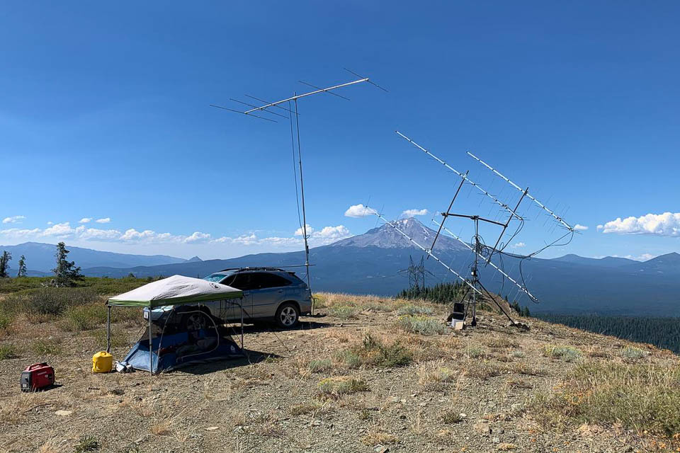
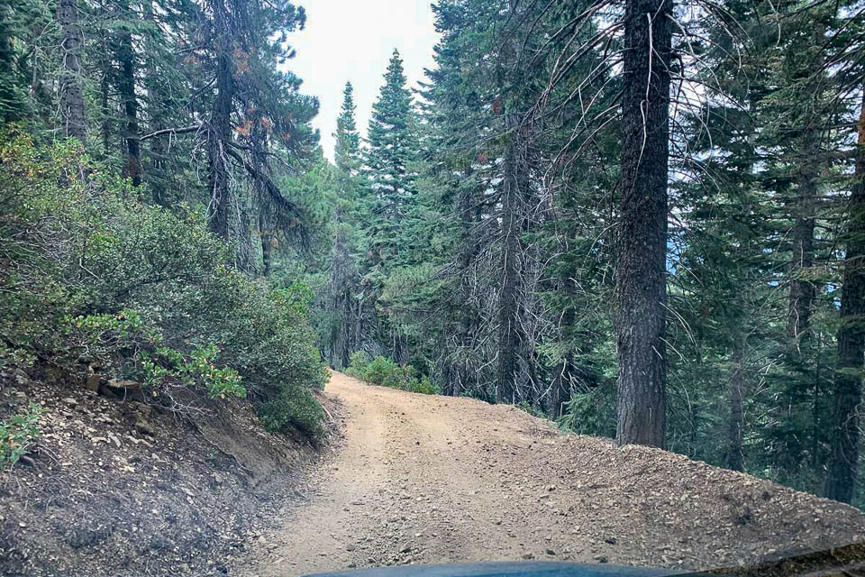
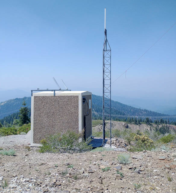
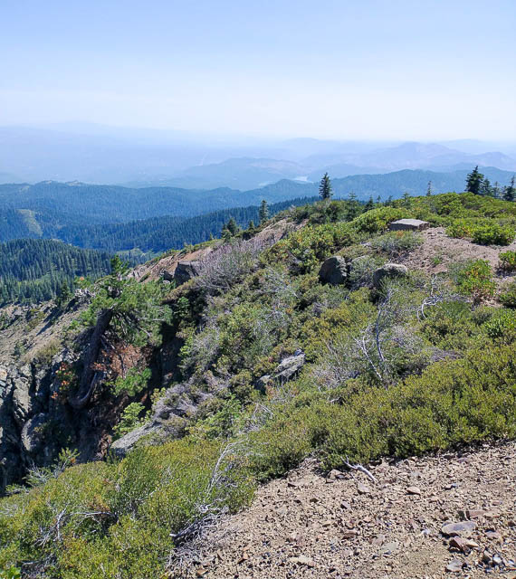
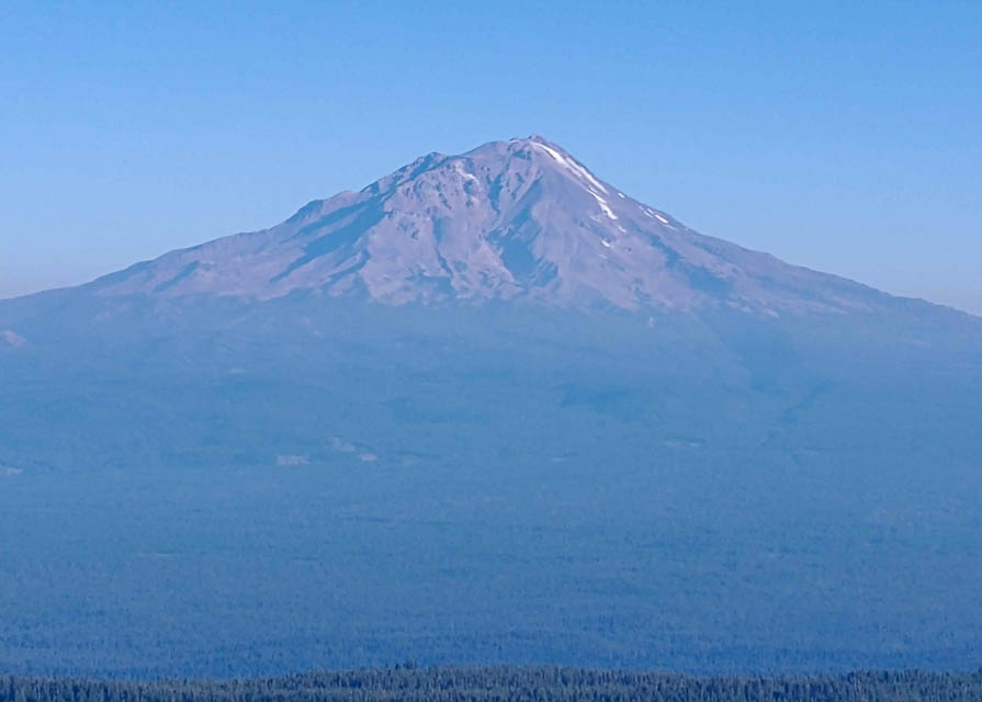
Grizzly Peak is a big conical mountain in the Shasta-Trinity National Forest. This is the best location in CN91 with open horizon and great take-off angles in all directions. The only problem is remoteness and the risk of wildfires.
KA6U: The photo is KA6U's location at the top of Grizzly peak. CN91 and CN81 are both accessible from Grizzly peak. Elevation is about 6500 feet.
That is a volcano in the background, Mt Shasta. Last eruption 200 years ago. I was chased off the peak on Sunday morning when the storms started coming through that ending up setting the western US on fire with "dry lightning". At 0900 local time I saw storm clouds in the distance. By 0945 I had the array down. While I was packing the tent a few minutes later it blew hard enough to blow sand.
Other photo by KA6U is part of the road to Grizzly Peak near Mt. Shasta. About 25 miles of road like this took about 90 minutes. BIG potholes.
Driving directions: Start from the south, Big Bend, to reach Grizzly Peak. This is not accessible from the north. Ignore routes from online maps like Google, because the other access roads are locked gates.
Restrictions: Watch for logging trucks, forest fires, lightning storms, bears, killer potholes and you name it.
CN81-91 Grid Line, CN81xd94
| 41.144965, -122.000347 |
The CN81-91 grid line is about a mile west of Grizzly Peak CN98ad and about five miles due north of Iron Canyon Reservoir. This spot provides a good horizon in all directions except West.
Driving directions: Make your way to Grizzly Peak (41.14459, -121.97927).
You need to access it from South, from Big Bend, since it is not accessible from North.
Travel due west on unpaved roads to Lofton Ridge.
The last mile is not shown on Google Maps but the track is visible in satellite views.
Dry Lake, CN81mv77
| 41.907886, -122.940356 |
This is a peak on Siskiyou Summit Road, near Seiad Valley, about five miles south of the CA-OR border.
Restrictions: No services.
| < Previous | Page 7 of 20 | Next > |
©1998-2026 Barry Hansen