Rover Location Database
Oregon Rover Locations
- OR Map
- OR List
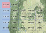
- Select Grid
- OR from CN85
- DN15 Wallowa
- DN14 Baker City
- DN13 Boise
- DN12 Outback
- DN05 Pendleton
- DN04 John Day
- DN03 Burns
- DN02 Steens
- CN95 The Dalles
- CN94 Bend
- CN93
- CN92 Klamath
- CN86 Centralia
- CN85 Portland
- CN84 Corvallis
- CN83 Roseburg
- CN82 Medford
- CN76 Astoria
- CN75 Lincoln
- CN74 Newport
- CN73 Coos Bay
- CN72 Pt Orford
- Add a Place
Grid Square CN76
7 locations - Grayland Beach SP - Twin Harbors SP - Bill Ellis Park - Ocean Shores Airport - Long Beach - Surfside Golf Course - Fort Stevens State Park
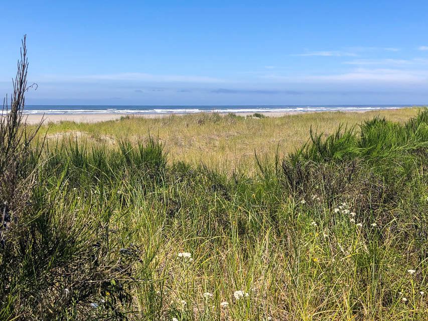
Potential VHF rover sites in grid CN76.
The Oregon coast is a series of state parks, overlooks and beaches. Have fun.
CN76 dimensions are 95.2 by 69.2 miles.
Explore this grid in Google Earth or equivalent:
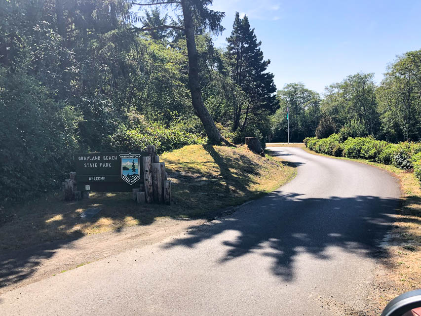
Grayland Beach SP, CN76ws89
| 46.791427, -124.092501 |
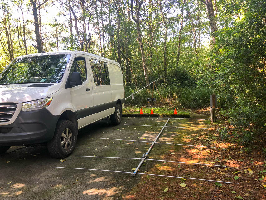

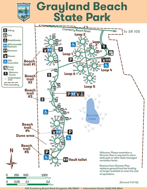
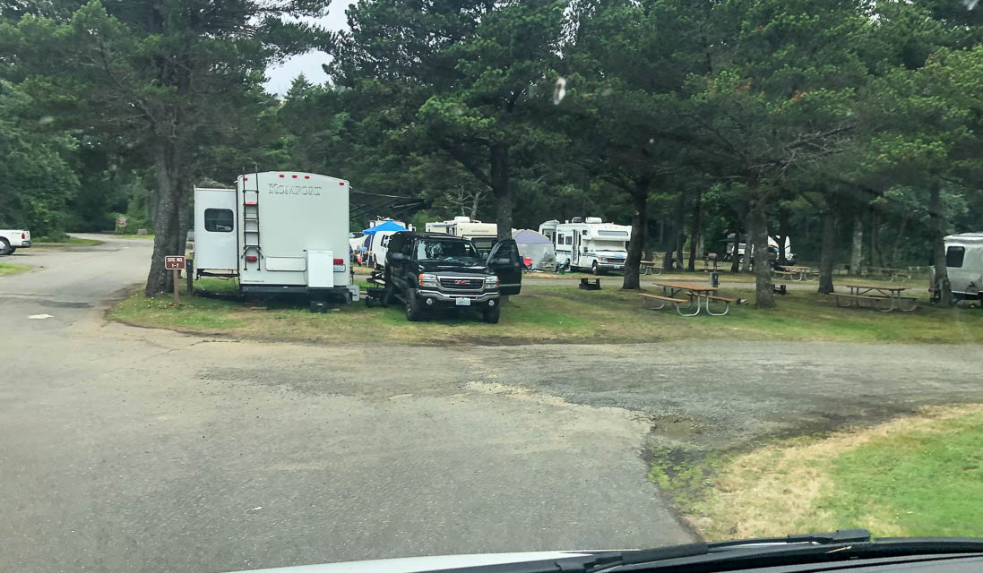
Grayland Beach State Park is about the most wonderful state campground I’ve seen. Clean, quiet, well-kept, and a short walk to an expansive spectacular beach. Every campsite is shielded by trees above and between guests. There are 104 campsites and 16 yurts.
I paid $45/night for a full hookup site #40 (photo). It felt luxurious to run all my gear from shore power for a change. Generators are not allowed in full hookup spots so some of my preparations were wasted, but there’s no way to know before the trip. I somehow managed to convince myself to not feel bad about the extra prep work.
I worked stations all the way up and down the coast from BC to San Diego. Propagation was poor this trip, possibly exacerbated by the lowland sea-level location and a 5-degree horizon to the east.
Driving directions: Take Hwy 12 toward Westport.
Turn left at Hwy 105 and go south.
Turn right on Cranberry Drive at the brown sign for the state park.
Twin Harbors SP, CN76wu65
| 46.856034, -124.108489 |
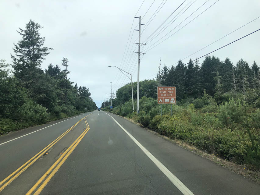
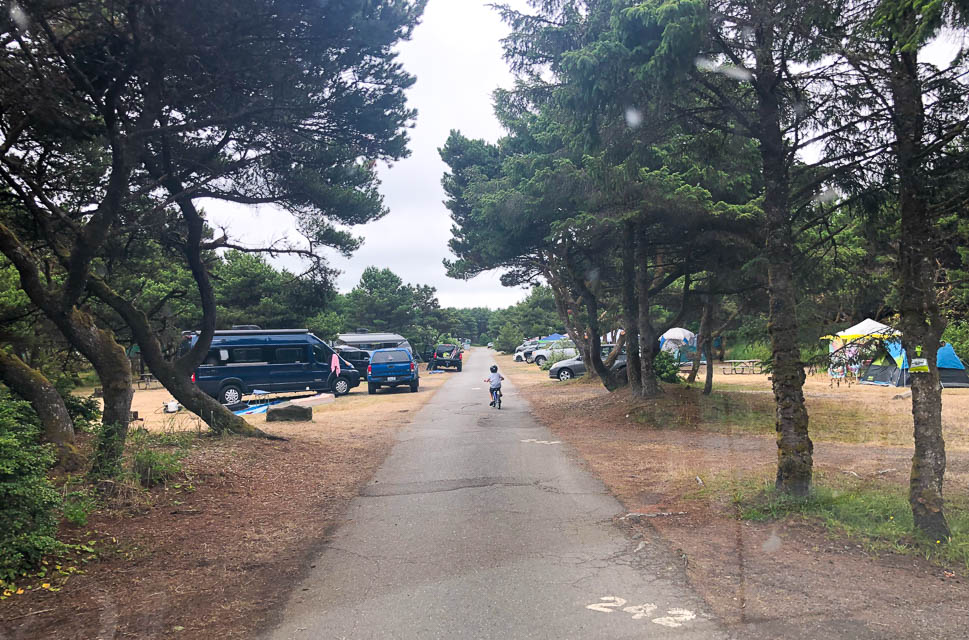
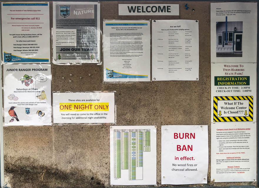
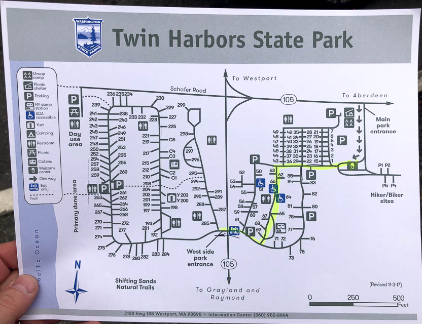
Twin Harbors State Park is a nice campground near the beach. However, there are fewer trees and the camp sites are more tightly packed than nearby Grayland Beach SP. It was overrun by families with young children when I visited in August 2021.
Bill Ellis Park, CN76wx21
| 46.963715, -124.143750 |
Bill Ellis Park is a city park in CN76 with 24 parking spots, public restroom and east-facing horizon. It is probably busy in the summer but otherwise makes a good brief stopping point.
Restrictions: Ocean Shores CC
Ocean Shores Airport, CN76wx29
| 46.998833, -124.144500 |
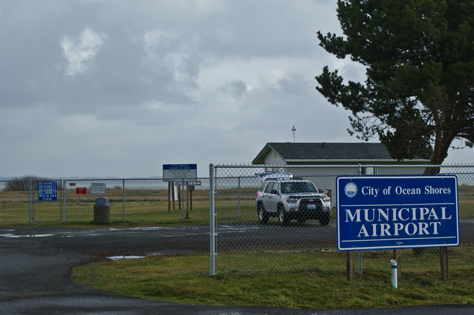
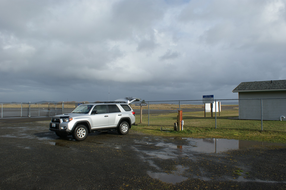
During the ARRL January VHF Contest, Rod WE7X and Barry K7BWH (ex.WA7KVC) activated the three coastal grids of CN76, CN77 and CN78. Our first stop was CN76 at the Ocean Shores municipal airport.
Long Beach, CN76xi41
| 46.340262, -124.046330 |
I want to find a location in CN76 that has (a) minimal driving time, (b) good propagation to a population center such as Portland or Seattle, (c) in the state of Washington. This only includes a thin sliver of land along Long Beach and Fort Canby State Park. I'm looking at:
- Wildwood RV Park and Campground, 5411 Sandridge Road, Long Beach, WA, Tel. 360-642-2131 offers wi-fi and a few amenities.
- Cape Disappointment State Park (formerly Fort Canby State Park) has 152 campsites open year-round. To reserve a campsite, call (888) CAMPOUT or (888) 226-7688.
Surfside Golf Course, CN76xm37
| 46.531445, -124.054398 |
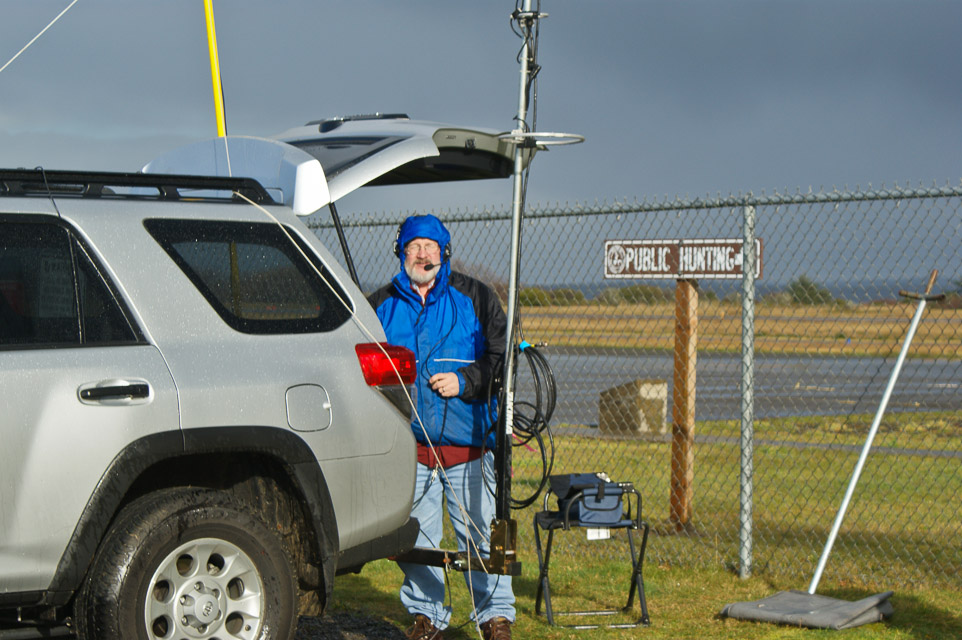
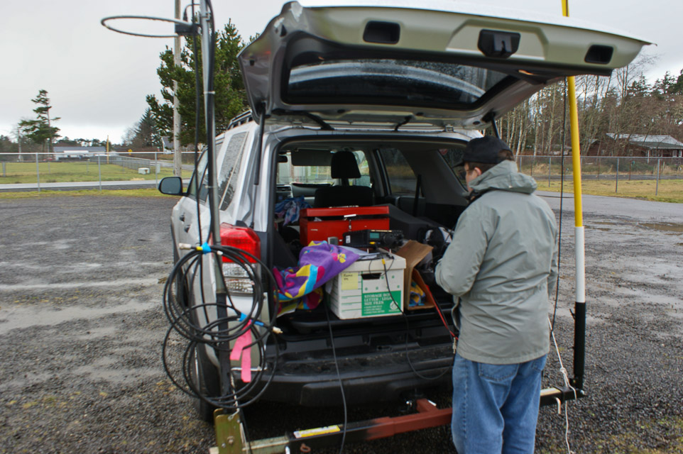
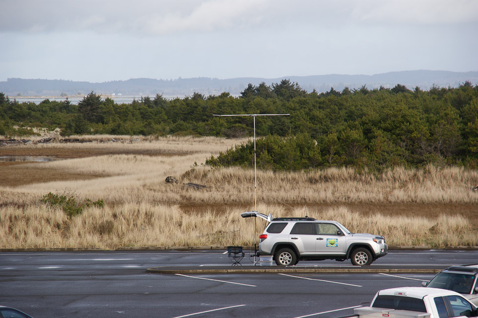
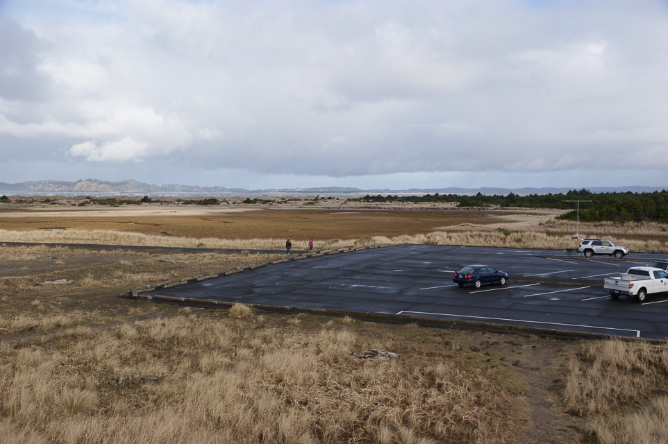
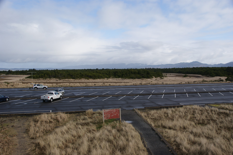
Fort Stevens State Park, CN76xf92
| 46.217302, -124.002900 |
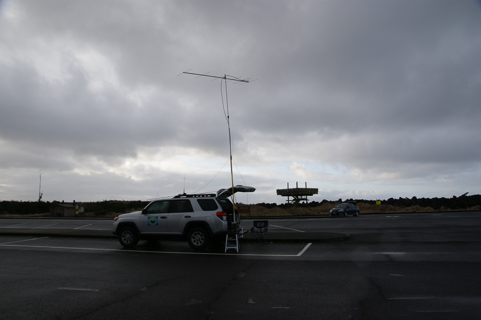
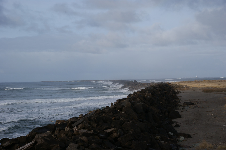
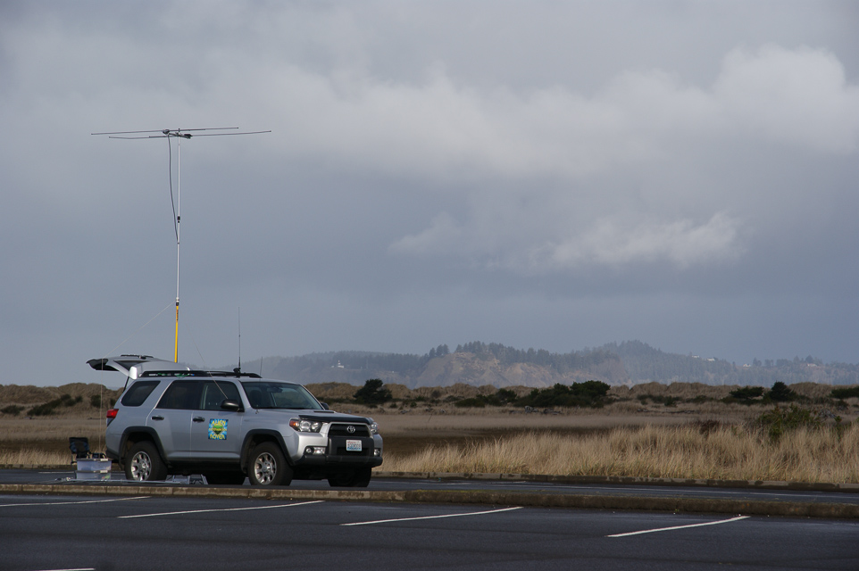
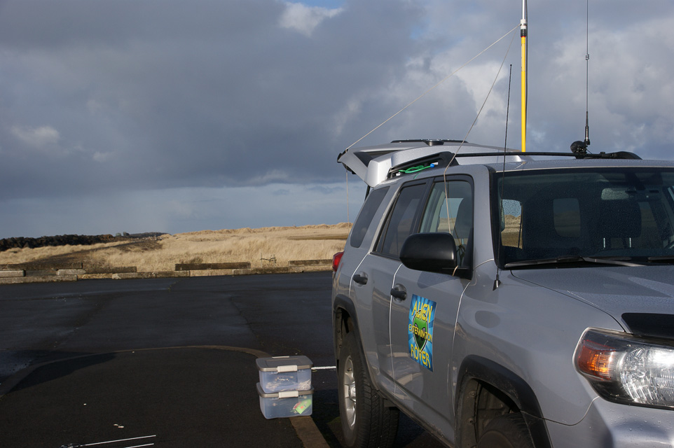
This is a parking lot in Fort Stevens State Park.
This is a wide area of flat land on the end of a spit, and the propagation in all directions is very good. The path to the north and northeast is over the Columbia river, so there is a good launch angle before you hit the distant coastal mountains.
Also see CN86 Fort Stevens only a mile away.
Driving directions: Take Highway 101 to the Fort Stevens entrance, 10 miles west of Astoria.
- At park entrance, get a park map at the ranger station. Local road signs are unhelpful.
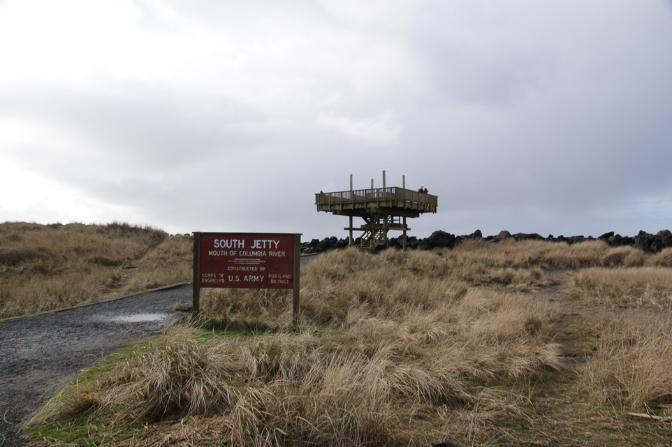
- Go north on south jetty road.
- The CN76-CN86 line is about 100 yards south the turn off into Lot B.
- Use either Parking Lot B (preferred) or Lot C. Both are fully in CN76.
- I visited Lot C but it's quite busy in all seasons where people visit the raised observation deck.
- Don't use the Shipwreck spot, the parking area is very limited.
Restrictions: No fee to park out on the spit.
- Other day-use park areas require a permit, e.g.,
camping, Coffenbury Lake and Historic Military Site.
- Day use only, 6 am to 10 pm.
- Pets on leash. Metal detecting requires permit.
2014-2-1 update by Steve/KE7IHG:
I had a pleasant phone conversation with Teri Wing the manager
at the park on Thursday afternoon.
The local Ham's have been using the park for field day for
many years now and she has a good relationship with that group.
As for operating as a rover in the park, no permit is needed and
no parking permit is needed for the parking area's on the spit as they
are deemed "Beach access". If you would park at the lake or the military
museum then you would need a parking permit.
If you put up an antenna that is not attached to the your vehicle
then you need a permit.
We're welcome at the park.
| < Previous | Page 22 of 27 | Next > |
©1998-2026 Barry Hansen