Rover Location Database
Oregon Rover Locations
- OR Map
- OR List
- Select Grid
- OR from CN85
- DN15 Wallowa
- DN14 Baker City
- DN13 Boise
- DN12 Outback
- DN05 Pendleton
- DN04 John Day
- DN03 Burns
- DN02 Steens
- CN95 The Dalles
- CN94 Bend
- CN93
- CN92 Klamath
- CN86 Centralia
- CN85 Portland
- CN84 Corvallis
- CN83 Roseburg
- CN82 Medford
- CN76 Astoria
- CN75 Lincoln
- CN74 Newport
- CN73 Coos Bay
- CN72 Pt Orford
- Add a Place
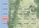
Grid Square CN73
4 locations - Oregon Dunes KOA - Fivemile Ridge - Seven Devils Road - Carter Ridge
Potential VHF rover sites in grid CN73.
The Oregon coast is a series of state parks, overlooks and beaches. Have fun.
CN73 dimensions are 100.3 by 69.2 miles.
Explore this grid in Google Earth or equivalent:
Oregon Dunes KOA, CN73vm30
| 43.501727, -124.220138 |
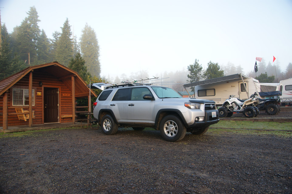
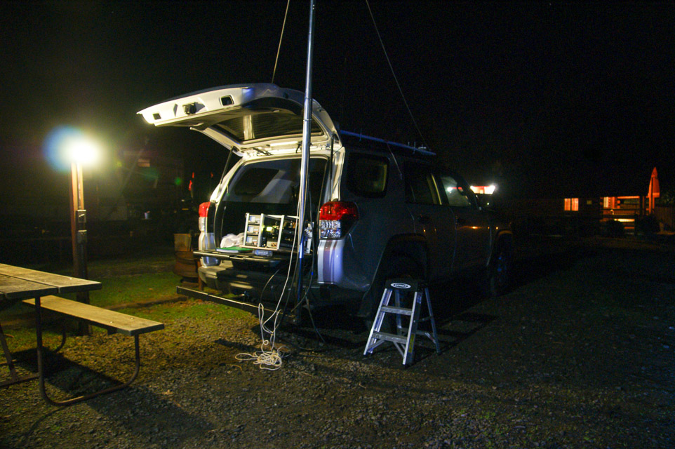
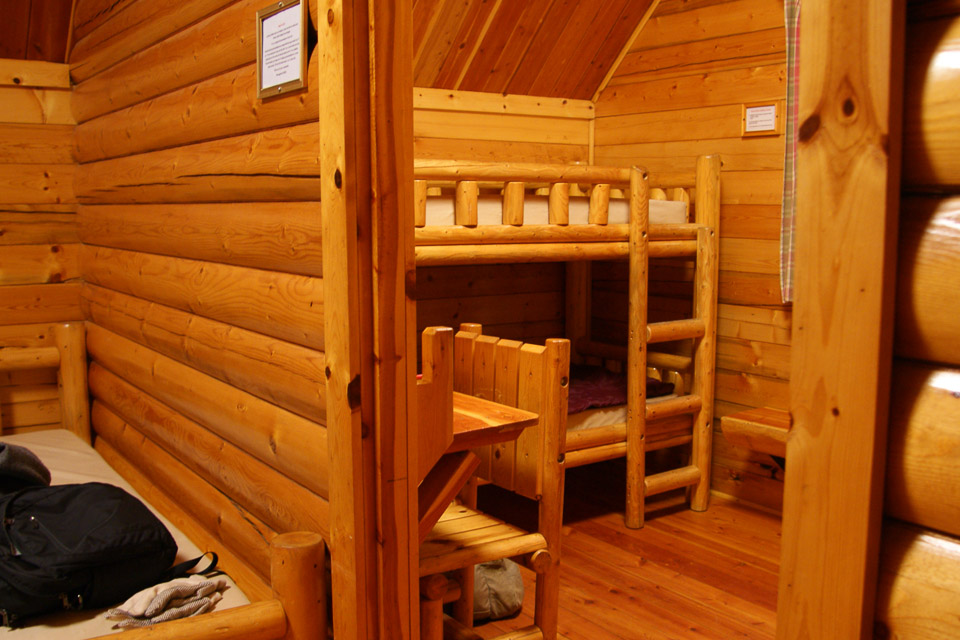
The Oregon Dunes KOA kampground is in the flat coastal area of the 40-mile Oregon Dunes area. The kabins are an excellent setup for VHF operation with power, lights, picnic table, fire pit and you can park alongside the kabin itself.
This spot should have good propagation in all directions. However, we didn't make very many contacts in the January 2014 contest. I suspect it was just a slow time of activity.
Restrictions: Observe all KOA guidelines including quiet times.
Popular destination resort for all-terrain vehicles is open year-round. Plan ahead for reservations.
Fivemile Ridge, CN73ws52
| 43.762168, -124.124436 |
Where Highway 101 climbs over a ridge before descending to Reedsport there's a turnoff and wide spot with excellent altitude and enough space to setup a good antenna.
Restrictions: Public road, leave room for traffic.
Seven Devils Road, CN73th83
| 43.305850, -124.348505 |
Public road on ridge.
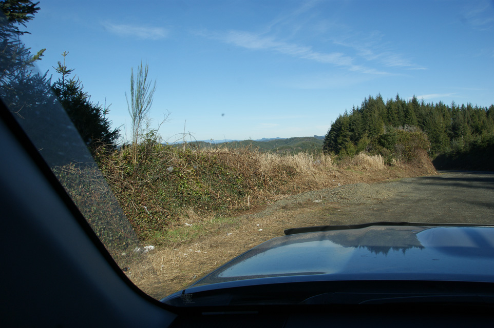
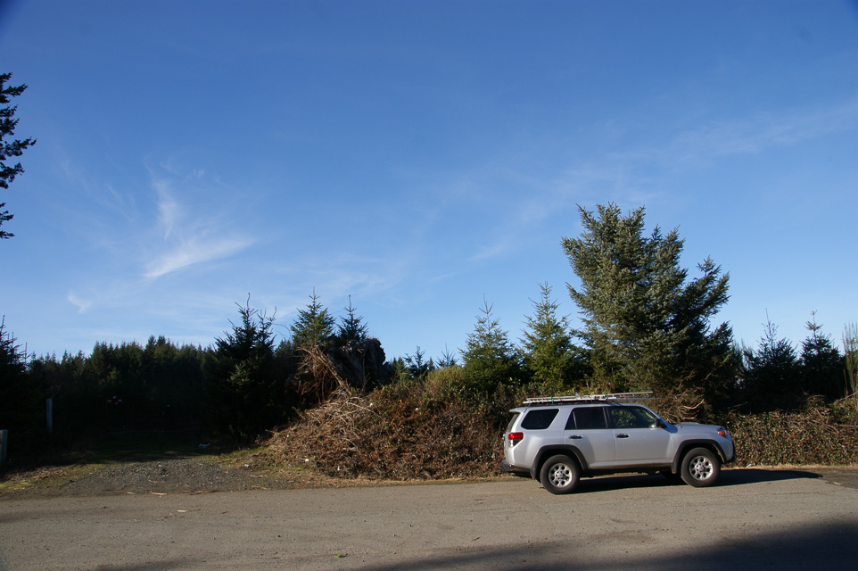
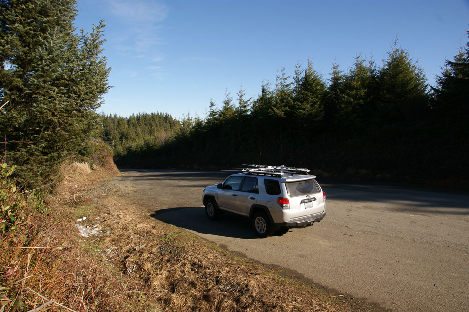
Carter Ridge, CN73xw99
| 43.956472, -124.000143 |
2004-01: There are two operating locations on CN73/CN83 grid line. - Lynn N7CFO
2014-01: Good roads but heavily forested. - Barry K7BWH
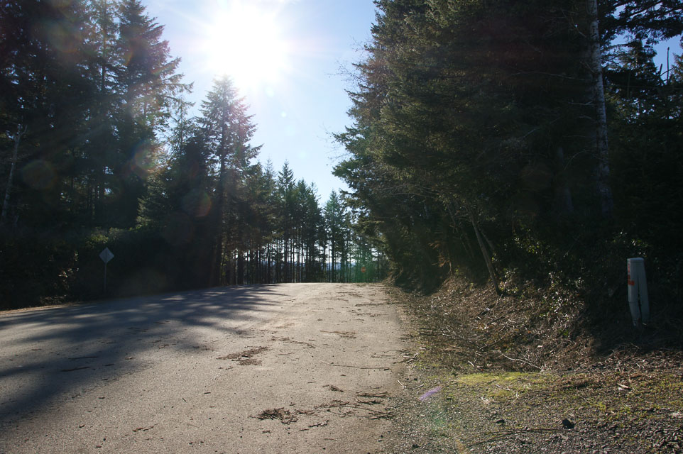
Driving directions:
- South on Hwy 101 going out of Florence.
- Turn left on to Canary Rd. (about 2.3 miles from the bridge)
- Follow Canary Rd for about 4 miles.
- Take left fork on to Maple Rd.
This is marked on maps as FR-953, but the actual sign says Maple Rd. - About 3.5 miles from turning on to Maple Rd is the first operating location, right on the edge of CN73/CN83 border. Elevation is about 850ft.
- If you go another 1/2 mile down the road you hit the second spot, which is in CN83. The reason for going farther into CN83 is because you gain about 150 feet of elevation and get to spot with a clear shot to the North. The GPS coordinates of this spot are 43.95548 N, 123.98324 West.
| < Previous | Page 25 of 27 | Next > |
©1998-2026 Barry Hansen