Rover Location Database
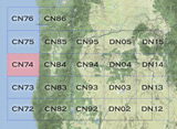
Oregon Rover Locations
- OR Map
- OR List
- Select Grid
- OR from CN85
- DN15 Wallowa
- DN14 Baker City
- DN13 Boise
- DN12 Outback
- DN05 Pendleton
- DN04 John Day
- DN03 Burns
- DN02 Steens
- CN95 The Dalles
- CN94 Bend
- CN93
- CN92 Klamath
- CN86 Centralia
- CN85 Portland
- CN84 Corvallis
- CN83 Roseburg
- CN82 Medford
- CN76 Astoria
- CN75 Lincoln
- CN74 Newport
- CN73 Coos Bay
- CN72 Pt Orford
- Add a Place
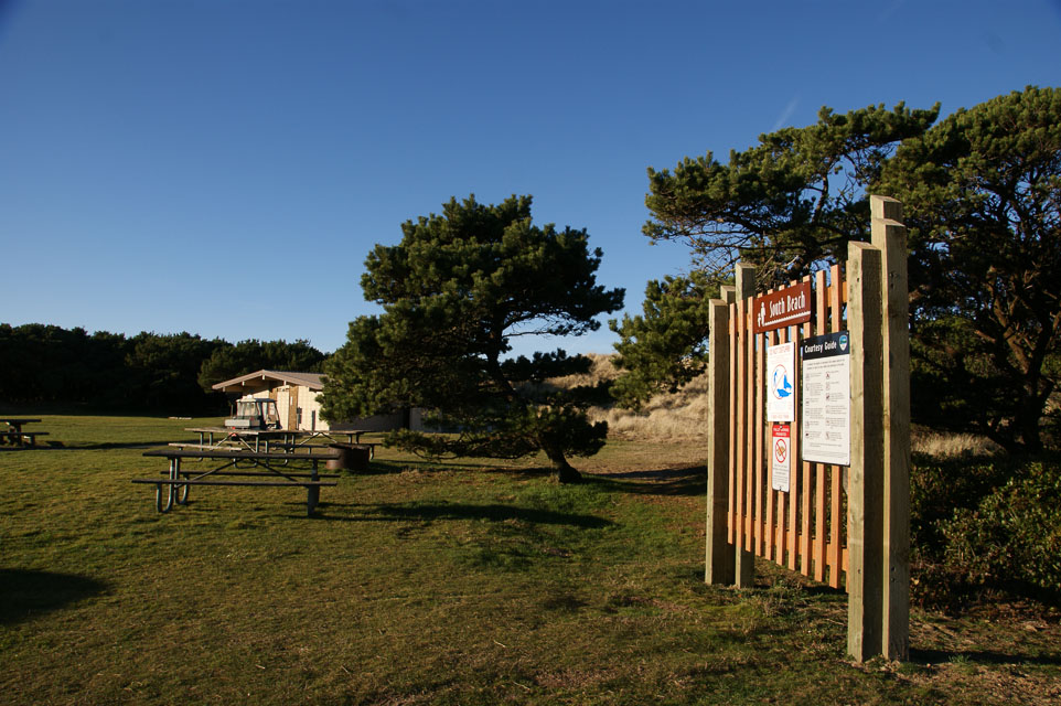
Grid Square CN74
11 locations - Private Home - Taft Cemetery - Goodwill Parking Lot - D River Beach - South Beach - Seal Rock - Driftwood State Park - Tokatee Klootchman - Patterson Park - Beachside State Park - Tillicum Campground
Potential VHF rover sites in grid CN74.
The Oregon coast is a series of state parks, overlooks and beaches. Have fun.
CN74 dimensions are 98.6 by 69.2 miles.
Explore this grid in Google Earth or equivalent:
Private Home, CN74xw73
| 44.930974, -124.023875 |
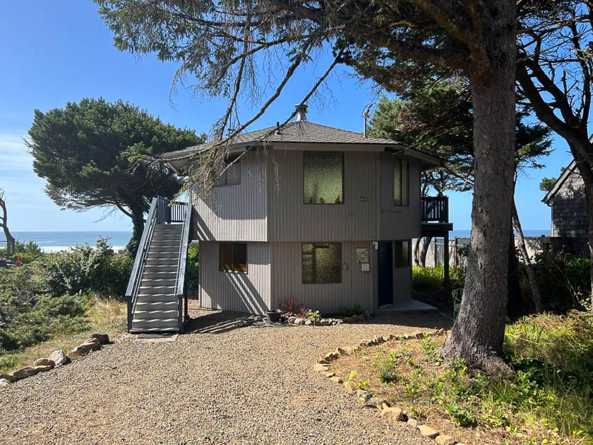
Driving directions: 4645 Beach Ave, Lincoln City, OR
Restrictions: Private residence owned by Barry's non-ham friend; no access.
Try nearby Taft Park instead, CN74wx83je.
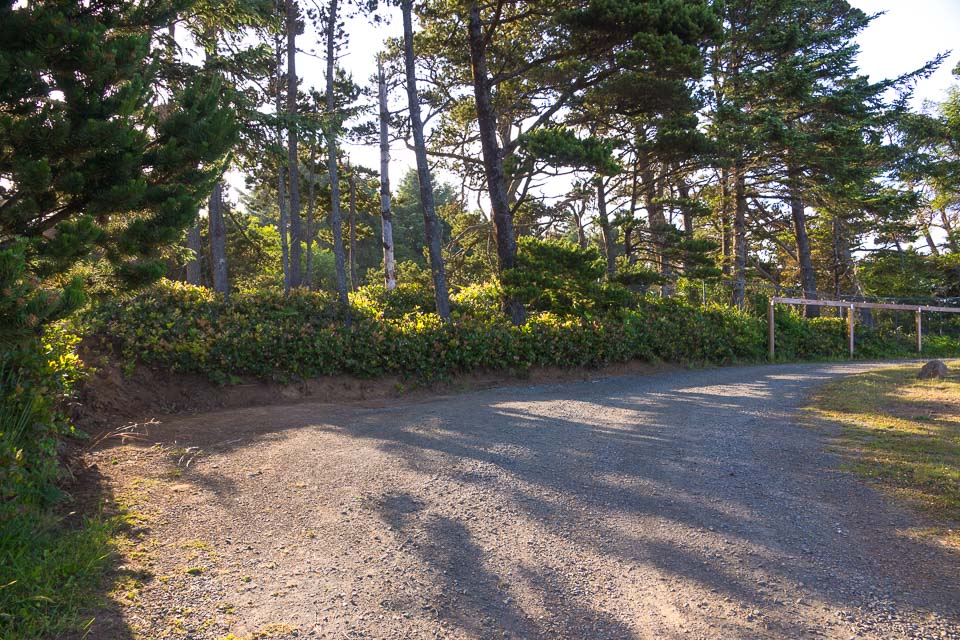
Taft Cemetery, CN74xw74
| 44.935870, -124.023220 |
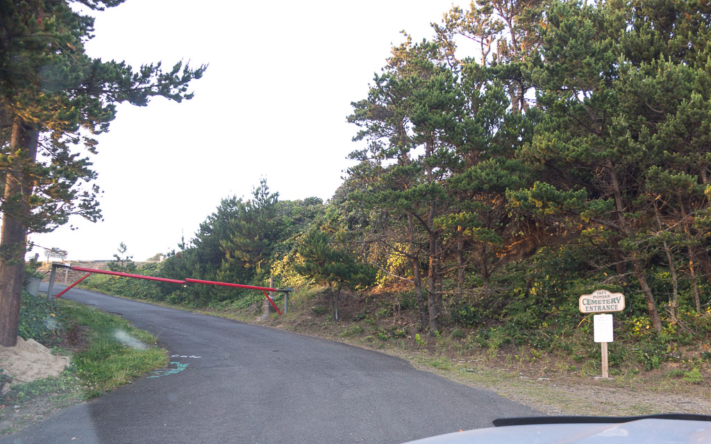
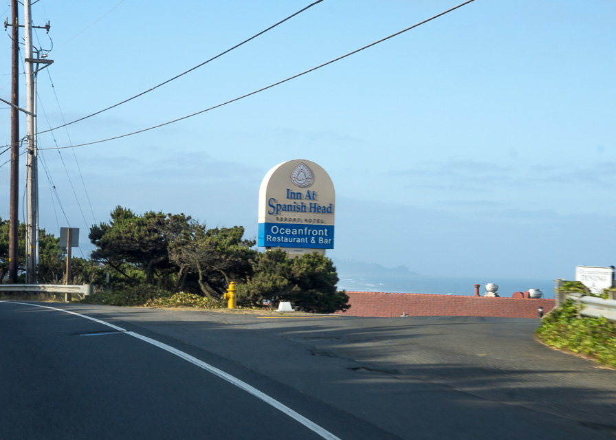
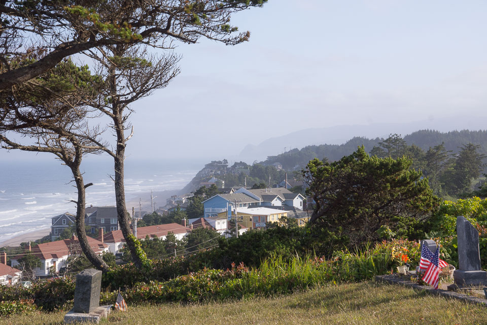
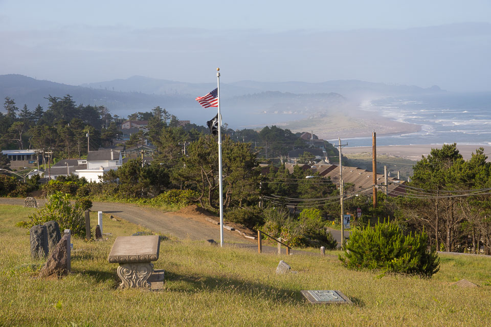
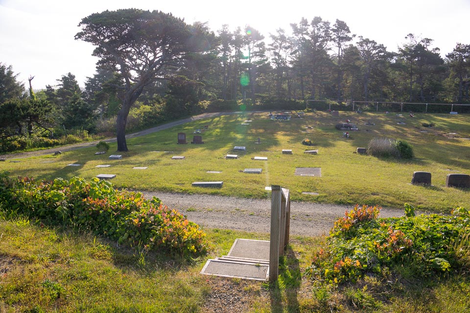
This is a local and secluded high spot in the middle of Lincoln City along Hwy 101. It offers spectacular views of the ocean and coastline, with a tantalizing chance to get signals over some of the coastal mountains.
Driving directions: On a blind corner on Hwy 101, turn into the driveway across from the sign for "Inn At Spanish Head".
Restrictions: Hours of operation: Summer 8am - 7pm, Winter 8am - 5pm.
For cemetery information or questions call 541-921-8468.
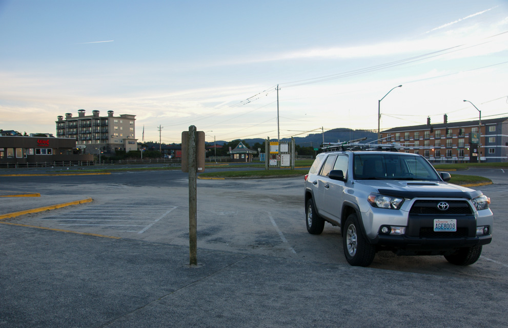
Goodwill Parking Lot, CN74xx99
| 44.997500, -124.005278 |
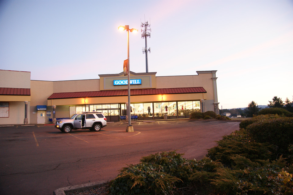
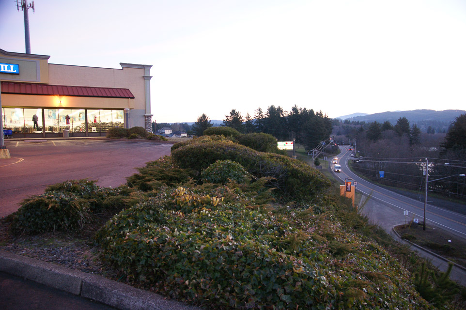
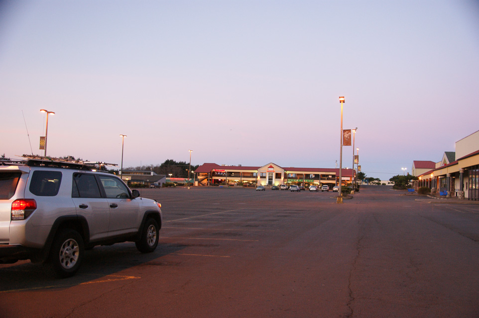
The Goodwill parking lot is the northeast corner of CN74 along Hwy 101.
This is a good stop for grid-circling using:
- Liberty Inn, CN75
- Goodwill, CN74
- Hwy 101, CN84
- Post Office on Hwy 101, CN85
This parking lot is in a strip mall with restaurants and other shops.
D River Beach, CN74xx72
| 44.967222, -124.017778 |
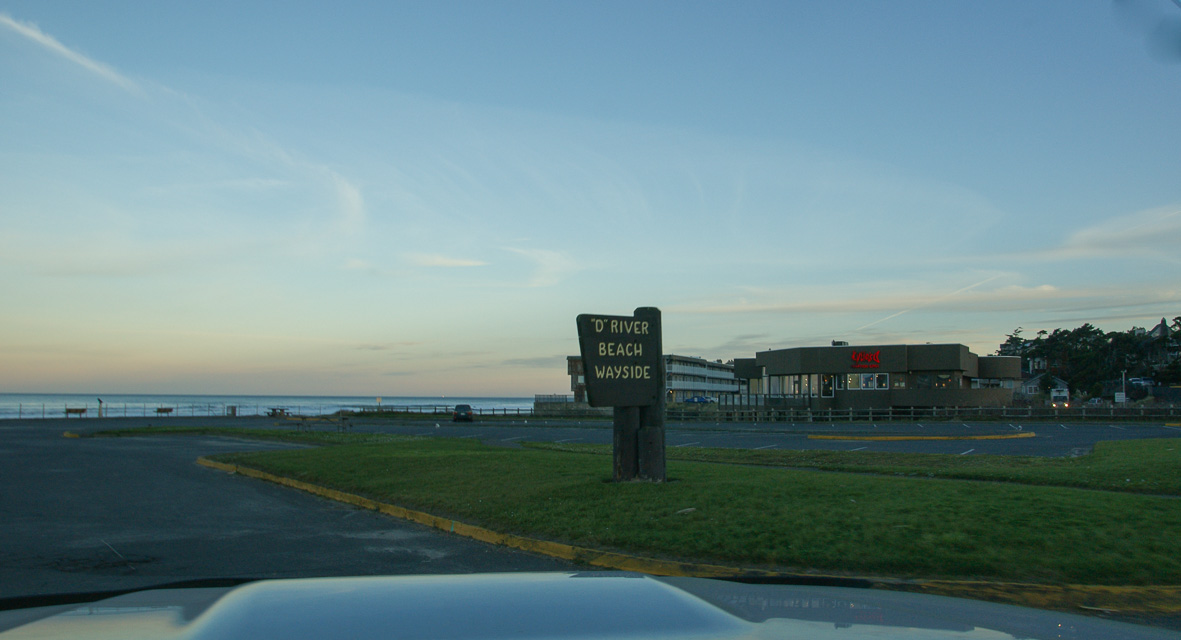
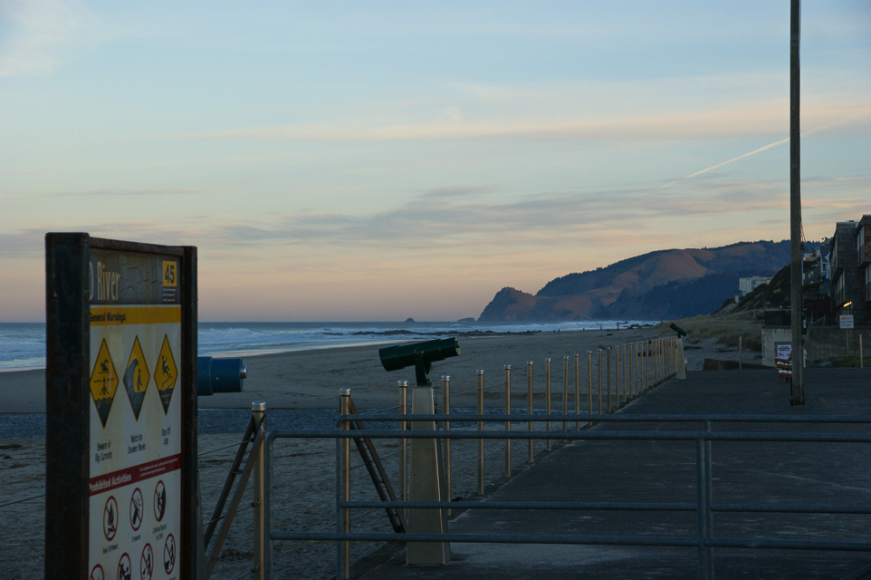
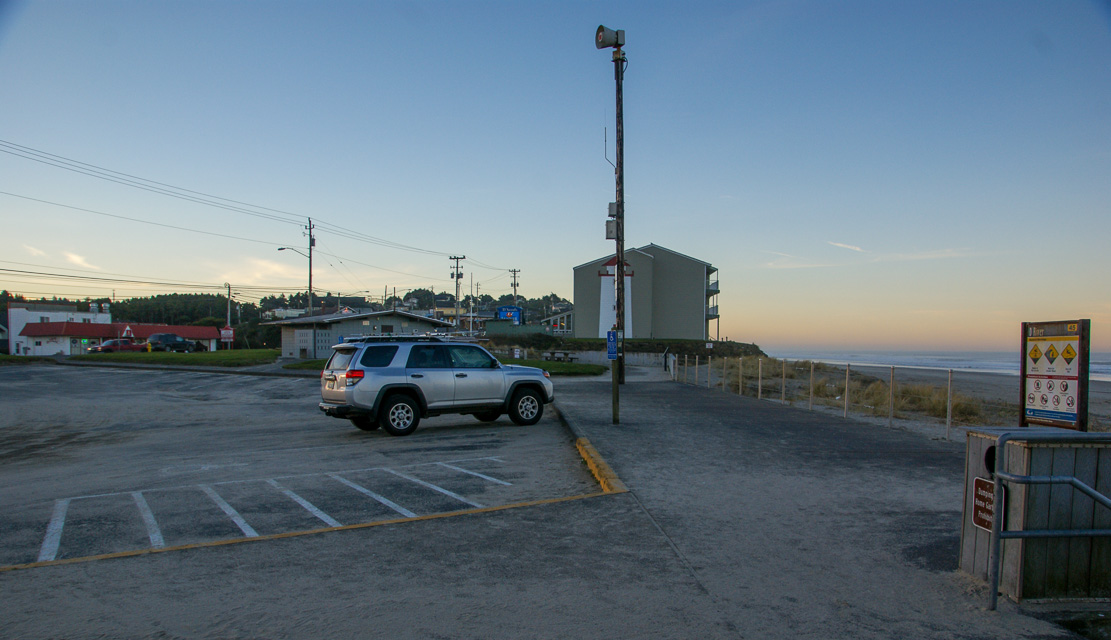
D River State Recreation Site is in downtown Lincoln City with a small parking area on the beach.
This is in the NE corner of CN74. If you're grid-circling then try the Goodwill parking lot instead which has easier driving access to the grid corner.
Restrictions: No services but you're surrounded by Lincoln City.
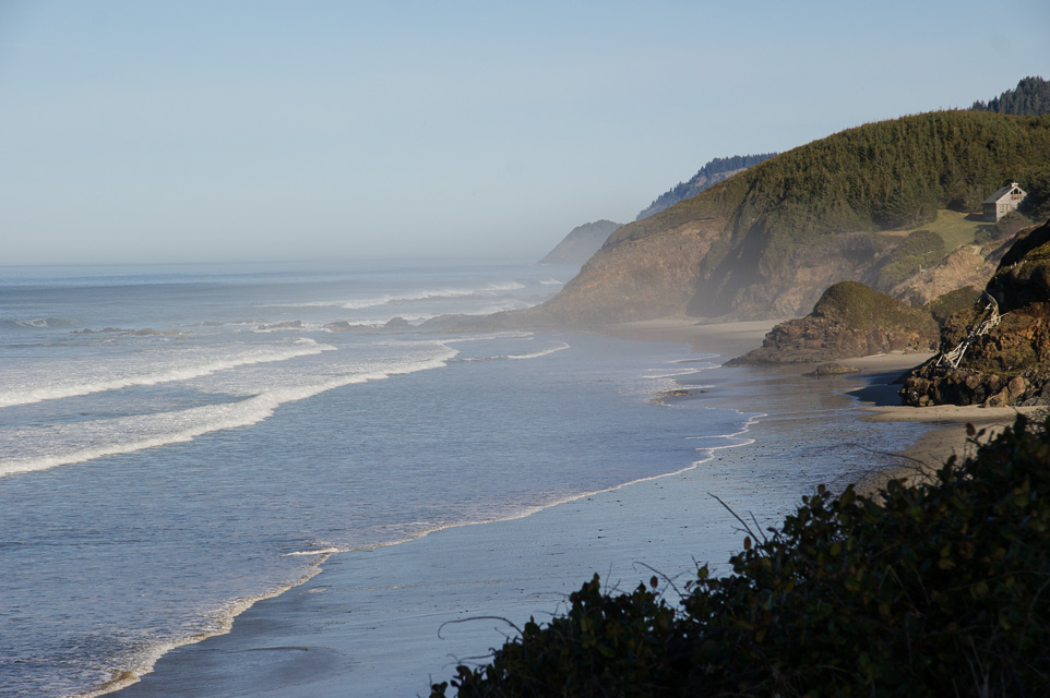
South Beach, CN74xo24
| 44.600833, -124.065278 |
South Beach State Park is close to Newport and offers a huge parking area, restroom, beach access and is well removed from any hills. This was our best operating spot during the January 2014 VHF contest.
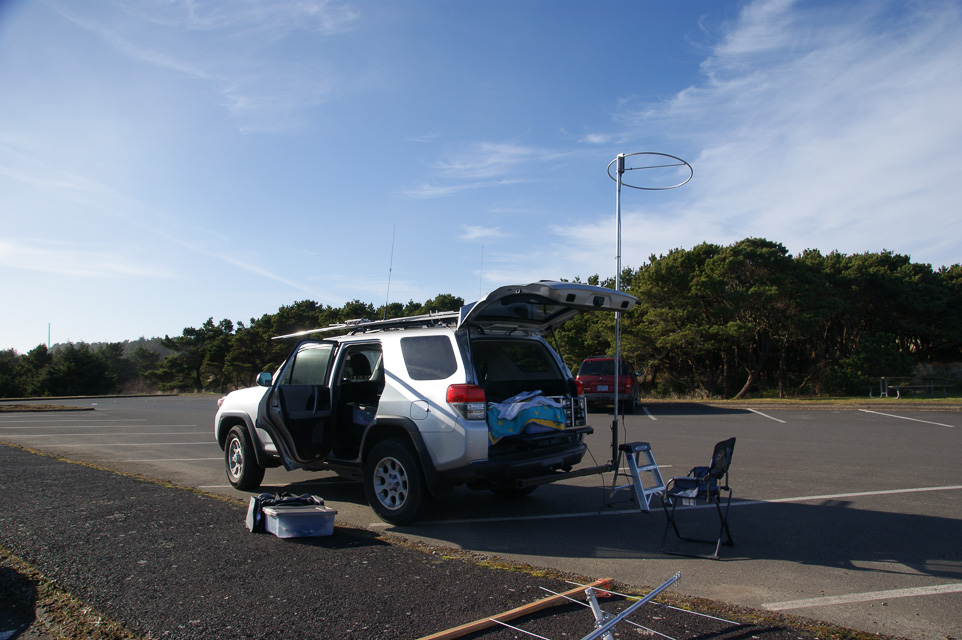
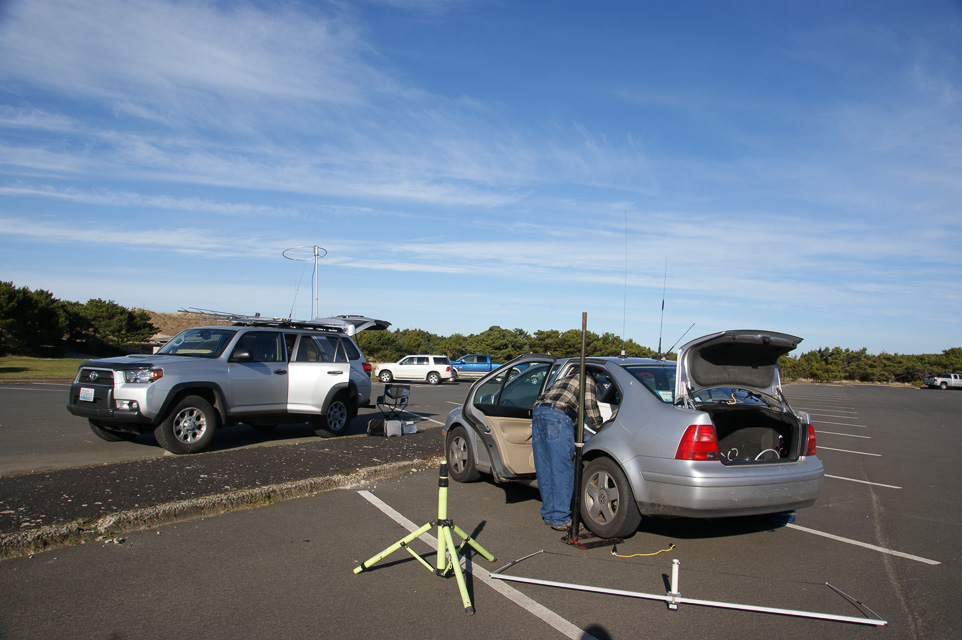
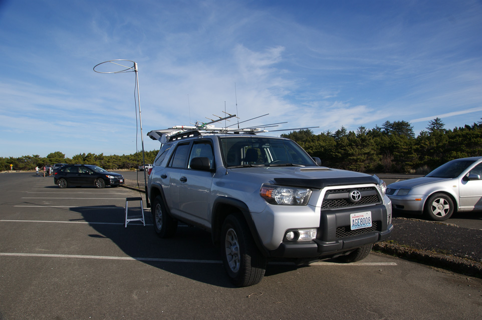
Seal Rock, CN74xl09
| 44.497222, -124.083056 |
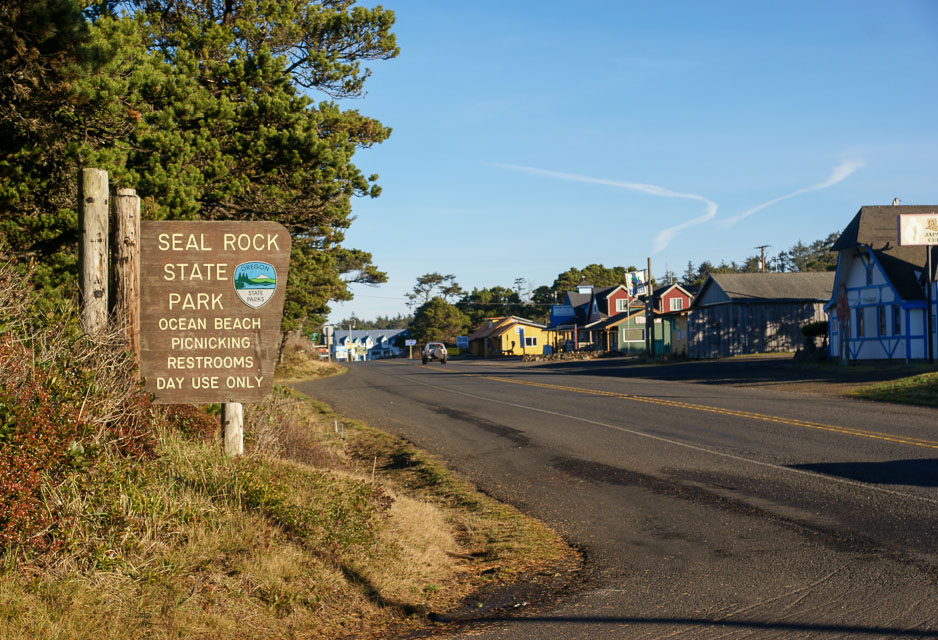
South Beach State Park is another convenient area along Hwy 101 with restrooms and beach access.
The entire coastline from Newport south to Waldport is relatively far from the coastal hills, and should offer decent propagation. My preference is South Beach (8.2 miles north) but this would probably work as well.
Restrictions: No camping.
Driftwood State Park, CN74xl01
| 44.464444, -124.080278 |

Driftwood State Park is a few miles south of Seal Rock and provides a handy open parking area near the beach. It has low trees and is well removed from nearby hills for a decent chance at decent propagation.
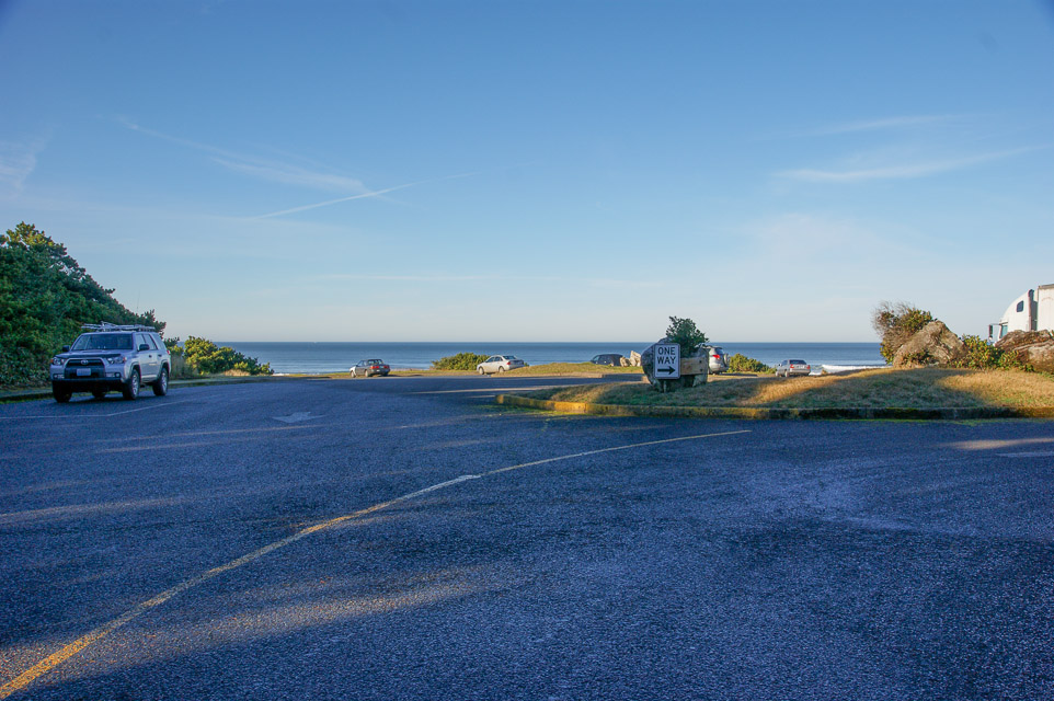
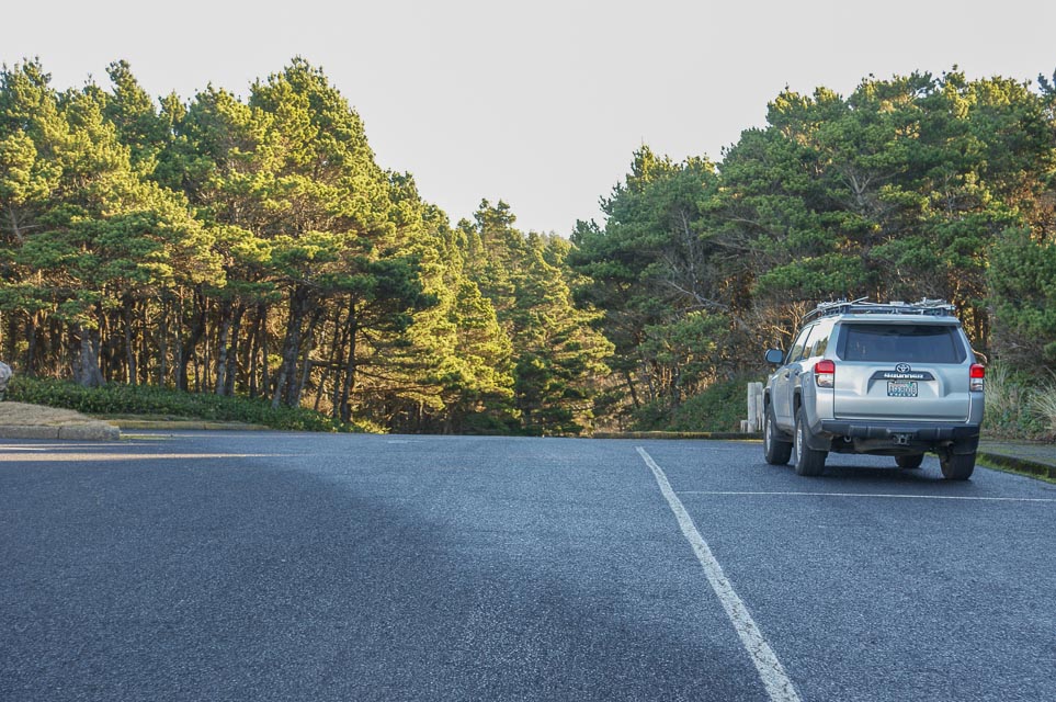
Tokatee Klootchman, CN74we69
| 44.208333, -124.114722 |
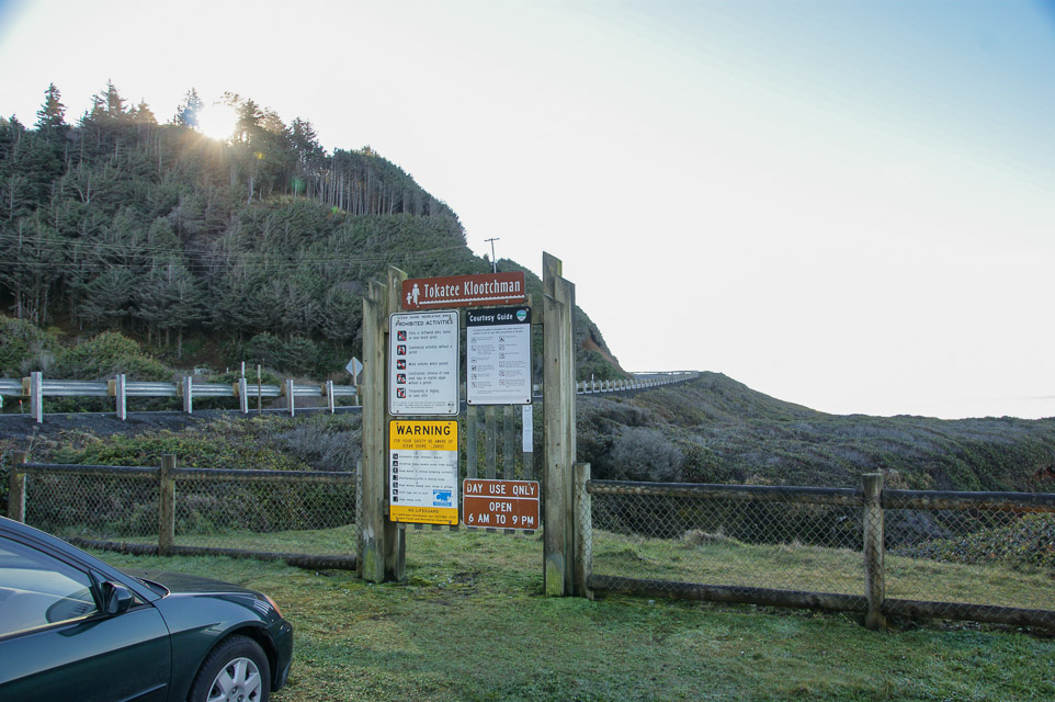
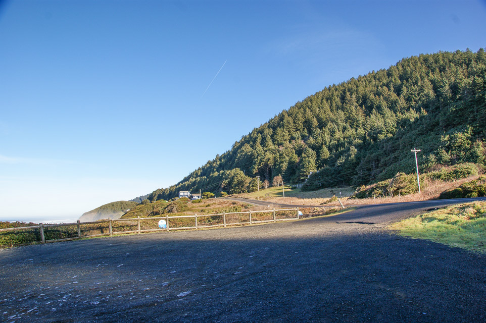
Tokatee Klootchman
provides a small parking area with spectacular ocean views.
Propagation is very limited due to steep nearby hillsides.
Driving directions: The park is 16 miles (26 km) north of Florence on U.S. Route 101.
Restrictions: Day use only, open 6am to 9pm.
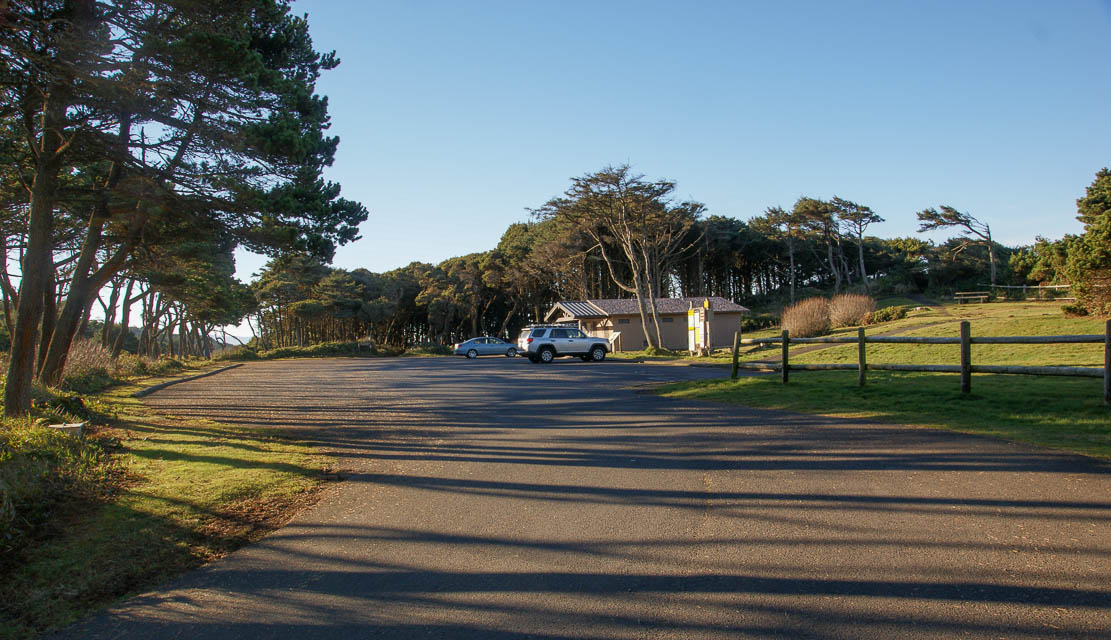
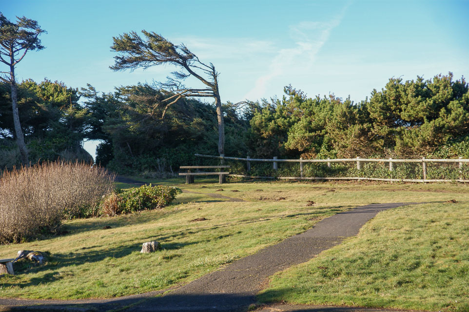
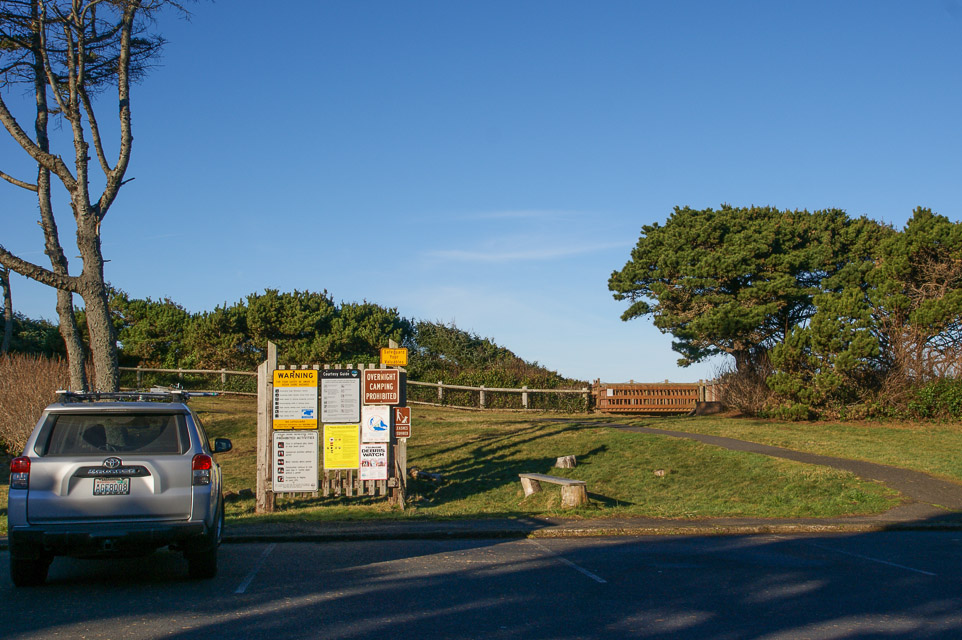
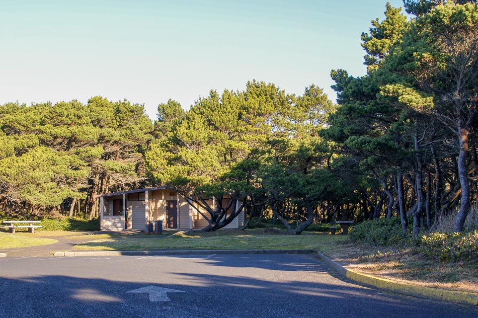
Patterson Park, CN74wj99
| 44.413651, -124.083570 |
Governor Patterson State Recreation Site is a comfortable place to set up on the coast in CN74. Plenty of parking and adjacent grassy open area for antennas. It also has close individual picnic table areas with 180 deg. coastal/beach views, and nice restrooms. There is a drive thru coffee/espresso stand approx 500 ft north of here.
Driving directions: On the west side of Hwy 101 on the south end of Waldport, OR. This is approximately one mile South of Waldport's only stoplight that's at the south end of the Alsea Bay Bridge.
Beachside State Park, CN74wj90
| 44.378950, -124.090067 |
Beachside State Recreation Site is a state park with full hookups. They have a small day use area. I have had some excellent openings into California and the Southwest out of this location. Now and then you can make it over the coastal range into the Willamette Valley on 144 and 220.
Driving directions: Five miles south of Waldport, OR on Highway 101.
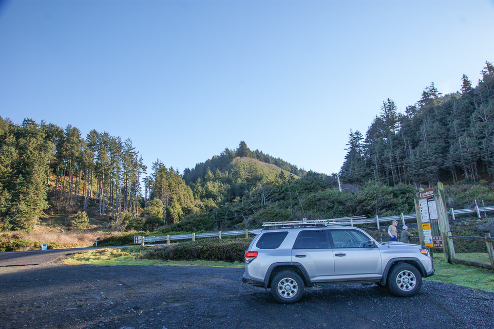
Tillicum Campground, CN74wi87
| 44.366417, -124.092200 |
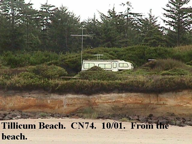
Tillicum Beach Campground is a National Forest Service campground in the Siuslaw National Forest about five miles south of Waldport on Highway 101. There is water and flush toilets available, but no electricity.
Driving directions: South of Waldport, Oregon off Highway 101.
From Waldport, Oregon drive 4 miles south on Highway 101.
Campground is on the west side of the highway.
| < Previous | Page 24 of 27 | Next > |
©1998-2026 Barry Hansen