Rover Location Database
Oregon Rover Locations
- OR Map
- OR List
- Select Grid
- OR from CN85
- DN15 Wallowa
- DN14 Baker City
- DN13 Boise
- DN12 Outback
- DN05 Pendleton
- DN04 John Day
- DN03 Burns
- DN02 Steens
- CN95 The Dalles
- CN94 Bend
- CN93
- CN92 Klamath
- CN86 Centralia
- CN85 Portland
- CN84 Corvallis
- CN83 Roseburg
- CN82 Medford
- CN76 Astoria
- CN75 Lincoln
- CN74 Newport
- CN73 Coos Bay
- CN72 Pt Orford
- Add a Place
Grid Square CN82
9 locations - Pelican Butte - Watchman Overlook - Siskiyou Plains - Soda Mtn - King Mountain - Mount Ashland - Cloud Cap - Onion Mountain - Mt. Scott
Potential VHF rover sites in grid CN82.
CN82 dimensions are 101.9 by 69.2 miles.
Explore this grid in Google Earth or equivalent:
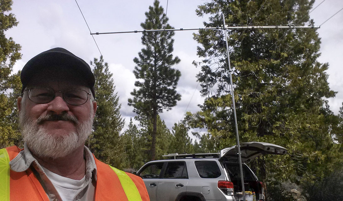
Pelican Butte, CN82wm23
| 42.513388, -122.144565 |
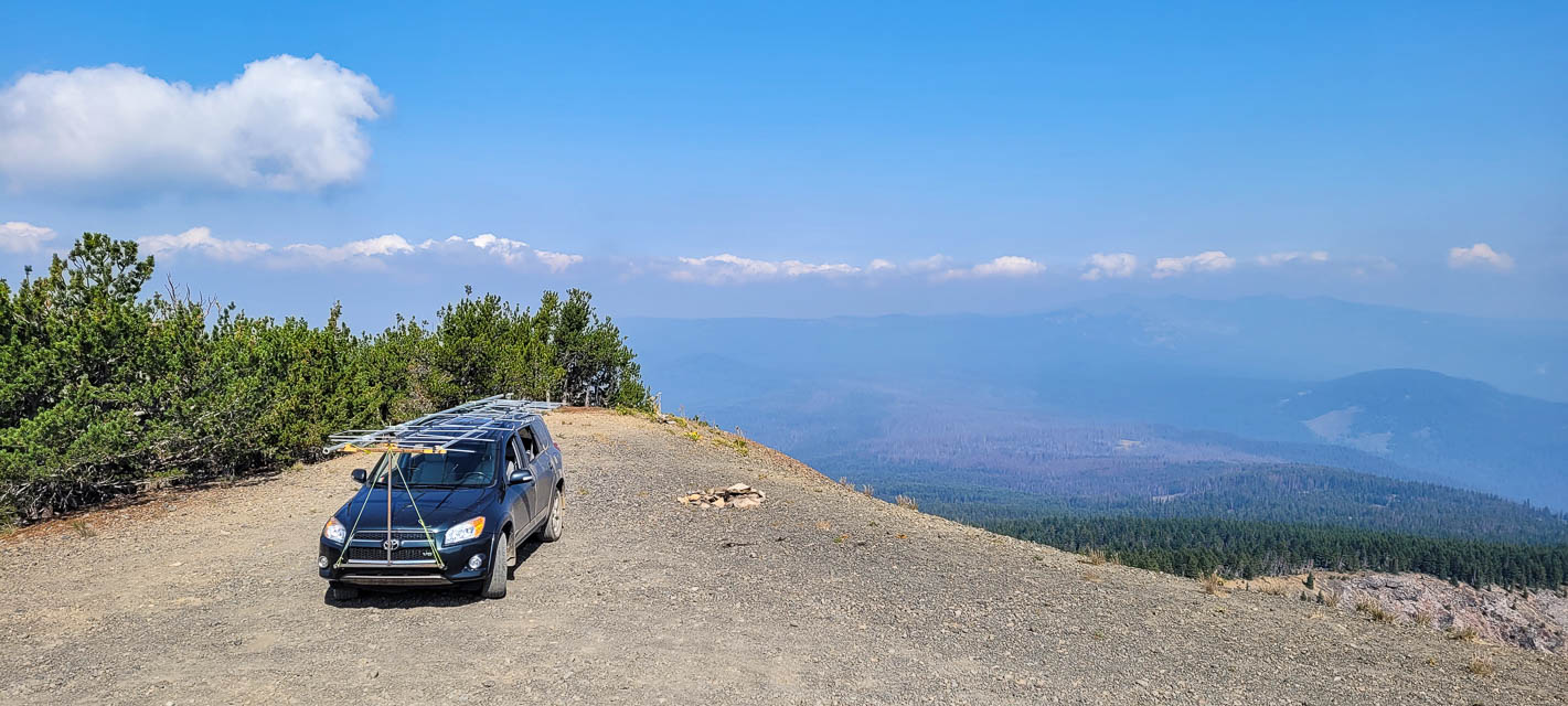
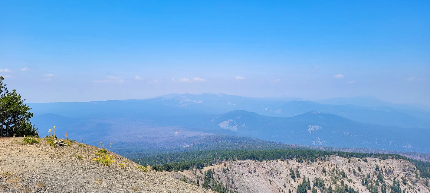
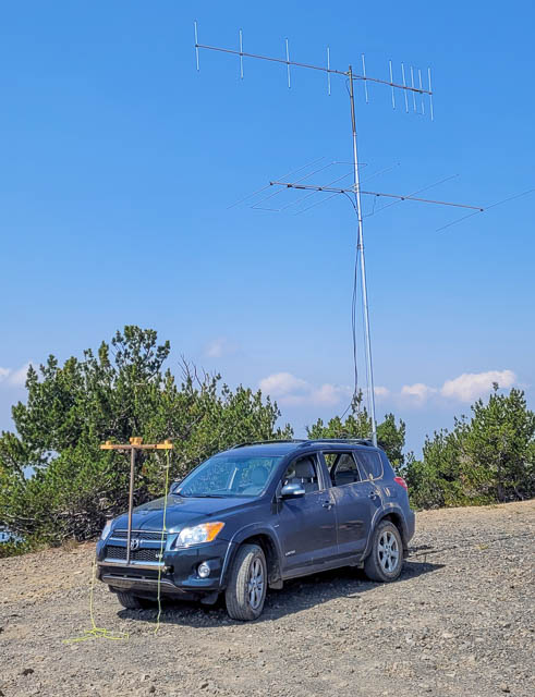
Old fire lookout site on top of an 8000' peak. Amazing views without the smoke, and great takeoff from all directions. It's a great feeling being the one of the highest peaks in the area. Matt KC7OOY worked 320 miles to Mt. Diablo on 2m FM.
Well worth the drive from Hwy 140 if you have time.
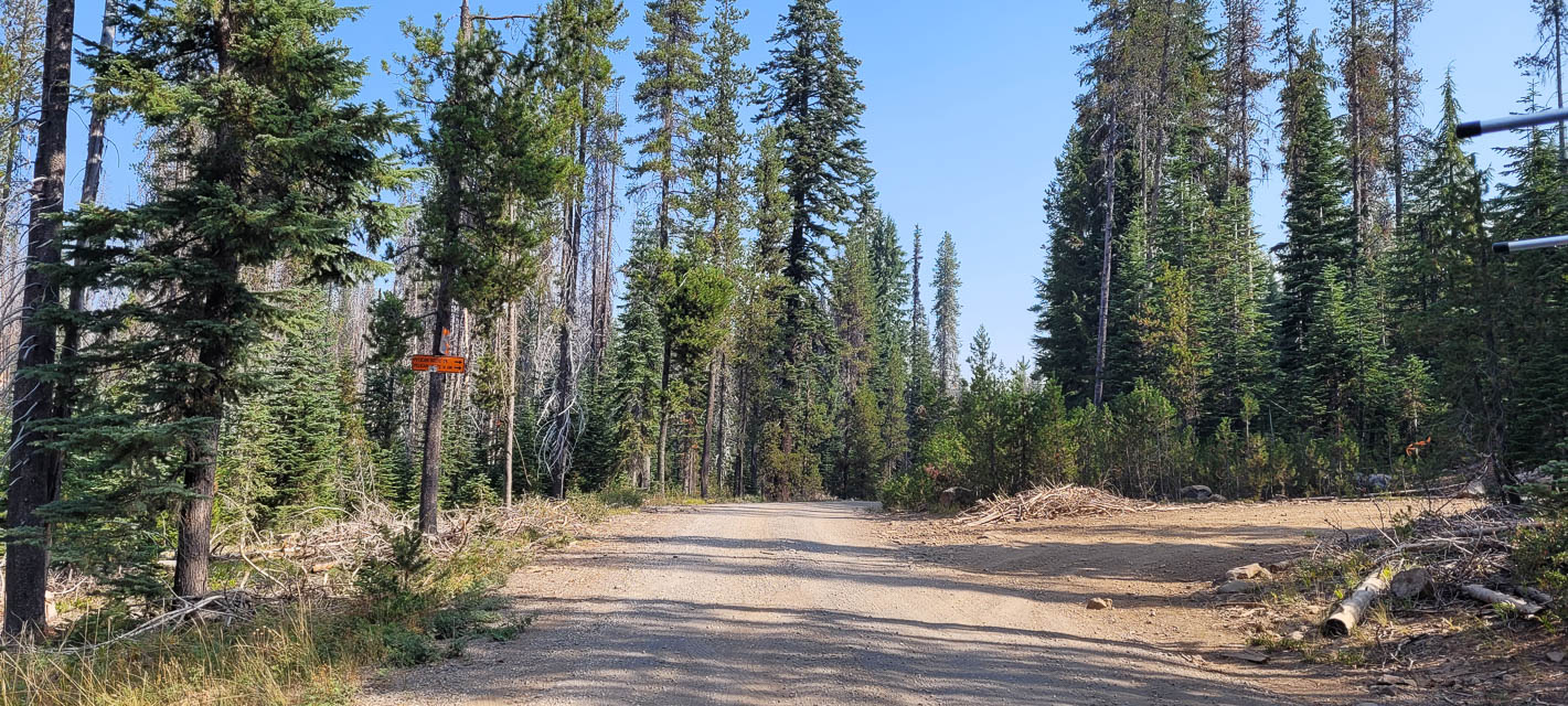
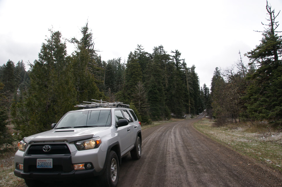
Driving directions: From Highway 140 turn north onto NF-3651 towards Cold Spring trailhead.
Drive approx 10 miles, then right at the sign to Pelican butte.
Road ends a little past the turn, at Cold Springs trailhead.
Then about 4 slow miles to the top.
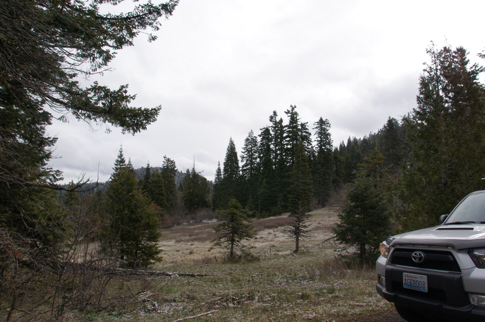
Good gravel road until you turn off for the last 4 miles. From there is it pretty rocky and slow with frequent switchbacks. A 2wd pickup or small SUV should be okay as long as you pay attention and avoid rocks in the road.
Restrictions: Be prepared for mosquitos.
Be prepared for snow drifts as late as July and for cold nights,
even in the summer.
Area is closed in the winter, and access via snow machine only.
Be prepared for cold and windy weather.
Watchman Overlook, CN82vw96
| 42.945486, -122.169444 |
Siskiyou Plains, CN82va13
| 42.015460, -122.234520 |
This is the high plains area among the Siskiyou mountain range. The hills are distant and potential camping areas are abundant. I chose this area as a compromise for sheltered winter camping and the better-but-much-more-exposed nearby Hamaker Mtn.
Driving directions: Turn south somewhere on Hwy 66 between I-5 and Klamath Falls.
Restrictions: Gate from Hwy 66 is locked during winter when the roads are wet and mushy. It was open this year on April 1st but usually stays shut until May.
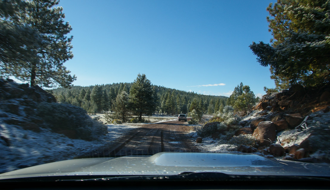
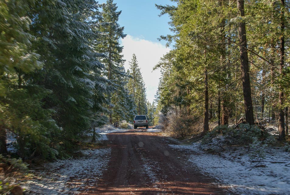
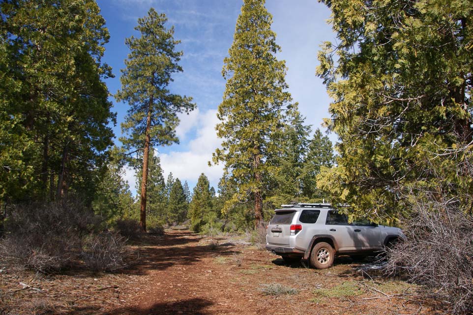
Soda Mtn, CN82sc11
| 42.091050, -122.490270 |

Soda Mountain provides a 5000' ridge line in the Siskiyou range with several possible pull-off and camping sites. It is just south of Hwy 66 (between Ashland and Klamath Falls) near the OR-CA borderand. The peak is about 20 miles on good gravel roads from the highway.
I stoppped at a relatively sheltered horse camp with good views to the northwest, but you can continue up further to the peak. Check the maps; I don't know if roads actually reach the very top.
Restrictions: Road not maintained in winter months. Low clearance vehicles not recommended.
In April 2014 it was too soggy to camp.
King Mountain, CN82jq26
| 42.693161, -123.229684 |
King Mtn is a high point near I-5 and Wolf Creek, less than 20 miles north of Grants Pass.
King Mtn lies on a triple-county border between Josephine, Jackson and Douglas counties.
The YouTube video from the 2013 Seven-Area QSO Party includes video of panoramas and tower-raising.
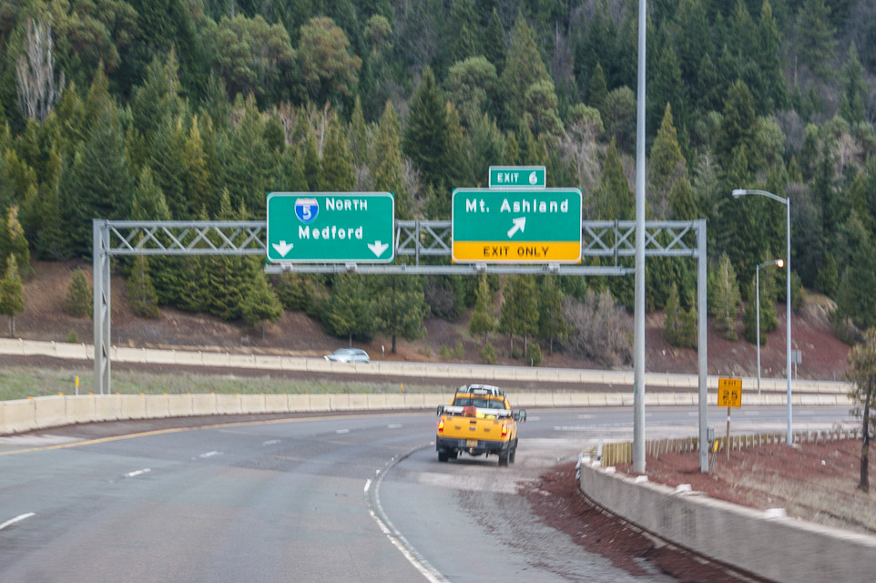
Mount Ashland, CN82pb39
| 42.080833, -122.720000 |
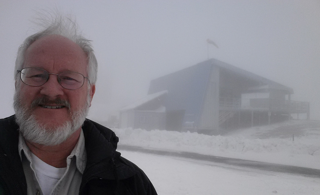
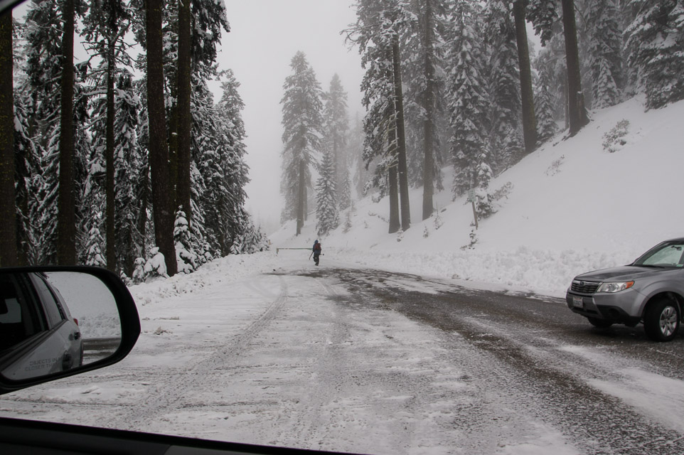
Photos shown taken April 31st, 2014, when the upper road was not yet open.
This is a mountaintop west of I-5 just before California border. Has TV and FM radio transmitters. Good paths, but you must have good filters to keep the RF out of your rigs.
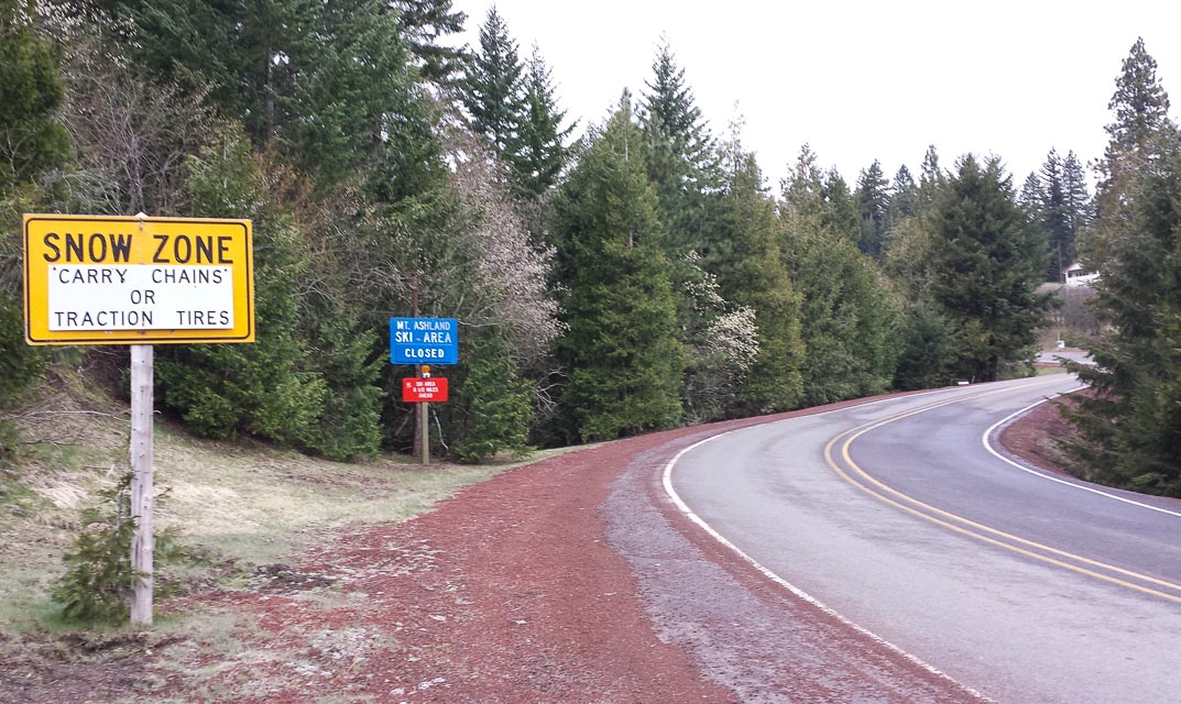
Driving directions: Follow signs to ski lodge via "Mt Ashland Ski Road".
- Continue past lodge, through main parking and then secondary parking.
- At the end of the parking area is a gate that's locked in winter.
- Follow road NF-20 up, keep right at the Y, continue on NF-300.
- Topo zone map: KTVL-TV USGS Mount Ashland
Restrictions: Many years the upper road is still closed by snow in June.
No parking for unattended vehicles Nov 1 - Apr 30.
Cloud Cap, CN82xw53
| 42.931667, -122.036667 |
This is a high point on the E-NE corner of the rim that is over Crater Lake. The highest point is 8065 feet, but requires a half mile walk from the road.
The best place for operating is a pullout about 0.7 miles before the viewpoint. The elevation is about 7800 feet and has a beautiful shot from the North through East.
The shot to Seattle (320 miles, 358 deg true) is up the middle of the Cascades and not as great as one might expect from 7800 feet. Spokane (346 miles, 40 deg true) is very good, with a negative horizon. There is no shot South from this corner of Crater Lake, but I have worked stations in Medford by bouncing off Mt Scott. For microwave work, Steens Mt (175 miles, 94 deg true) could be interesting.
I have talked with park rangers while operating at the pullout and they saw no difficulty with the activity. But, camping at the pullout could be problematic. There is a picnic area on the main rim road, about 1 mile from the pullout. It is almost as good a location as the pullout and it is better for "improvised" camping.
Driving directions: Enter the National Park (fee) from any of the three entrances.
- If you enter from the North, it is shortest to go around the top of the lake.
- For the other two entrances you probably want to go around the bottom.
- Follow the sign for Cloudcap viewpoint.
Restrictions: The road is all paved and snow is off sometime in June or July. The snow banks in the area can stay well into August.
Onion Mountain, CN82ek69
| 42.454304, -123.616154 |
This is a Forest Service Lookout west of Grant's Pass. Bare top.Solar powered repeater on top.
The Forest Service rents the lookout. Check in with Galice Ranger District in Grants Pass for availability.
There is a locked gate at the top. The road is paved except for the last mile.
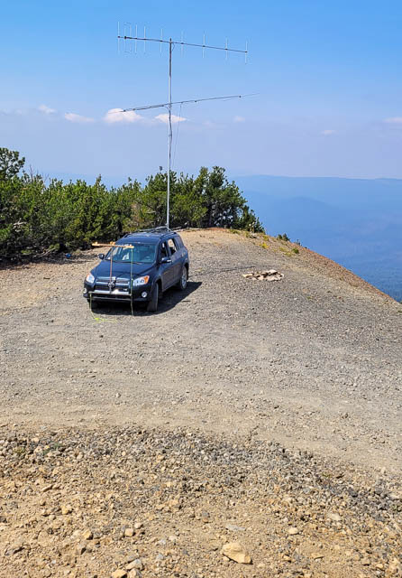
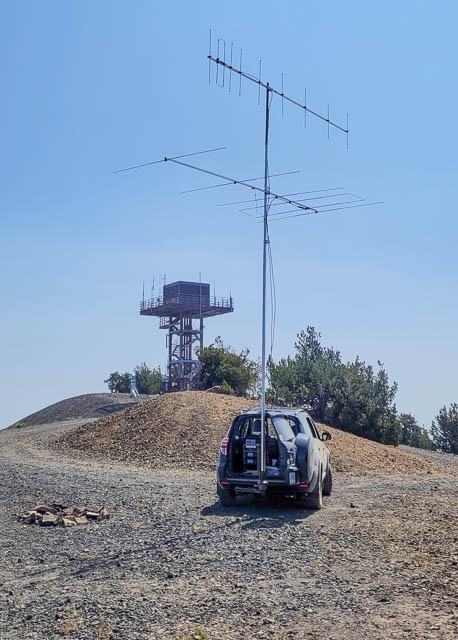
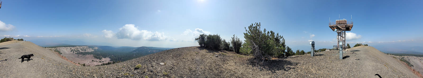
Mt. Scott, CN82xw81
| 42.922832, -122.016220 |
This is a Forest Service Lookout on a high point east of Crater Lake. Access is by hiking only.
Established about 1923 with a 2-story stone and frame cab, the present 2-story NPS cab, built in 1952, is available for emergencies.
A good starting point for more information is Mt. Scott, Oregon on Wikipedia.
The road is all paved and snow is off sometime in June or July. The snow banks in the area can stay well into August.
Driving directions: Enter the National Park (fee) from any of the three entrances.
- If you enter from the North, it is shortest to go around the top of the lake.
- For the other two entrances you probably want to go around the bottom.
- Follow the sign for Cloudcap viewpoint and look for the Mt. Scott trail.
Restrictions: Hiking only.
| < Previous | Page 21 of 27 | Next > |
©1998-2026 Barry Hansen