Rover Location Database
Oregon Rover Locations
- OR Map
- OR List
- Select Grid
- OR from CN85
- DN15 Wallowa
- DN14 Baker City
- DN13 Boise
- DN12 Outback
- DN05 Pendleton
- DN04 John Day
- DN03 Burns
- DN02 Steens
- CN95 The Dalles
- CN94 Bend
- CN93
- CN92 Klamath
- CN86 Centralia
- CN85 Portland
- CN84 Corvallis
- CN83 Roseburg
- CN82 Medford
- CN76 Astoria
- CN75 Lincoln
- CN74 Newport
- CN73 Coos Bay
- CN72 Pt Orford
- Add a Place
Grid Square DN05
15 locations - Peterson Ranch Road - Golgotha Butte - Umatilla NWR - Cold Springs - Morgan Lake - Ukiah Ridge - Skyview Cemetery - Skyline Road - Battle Mtn - Pendleton - Mt Emily - Indian Rock - Emigrant Hill - High Ridge Lookout - White Pine Trough
Potential VHF rover sites in grid DN05.
DN05 dimensions are 96.9 by 69.2 miles.
Explore this grid in Google Earth or equivalent:
Peterson Ranch Road, DN05aw55
| 45.938333, -119.950333 |
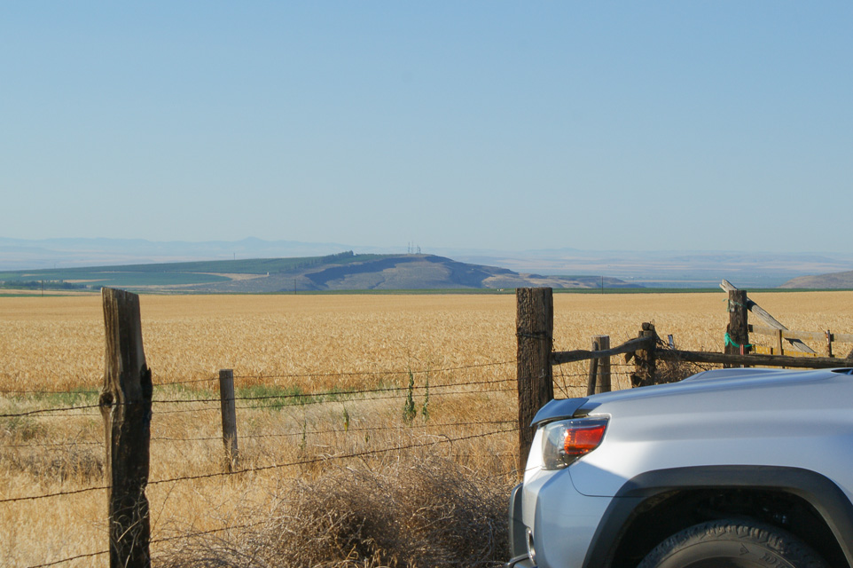
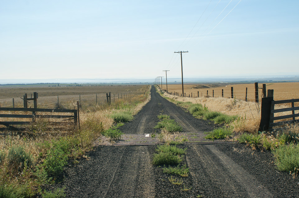
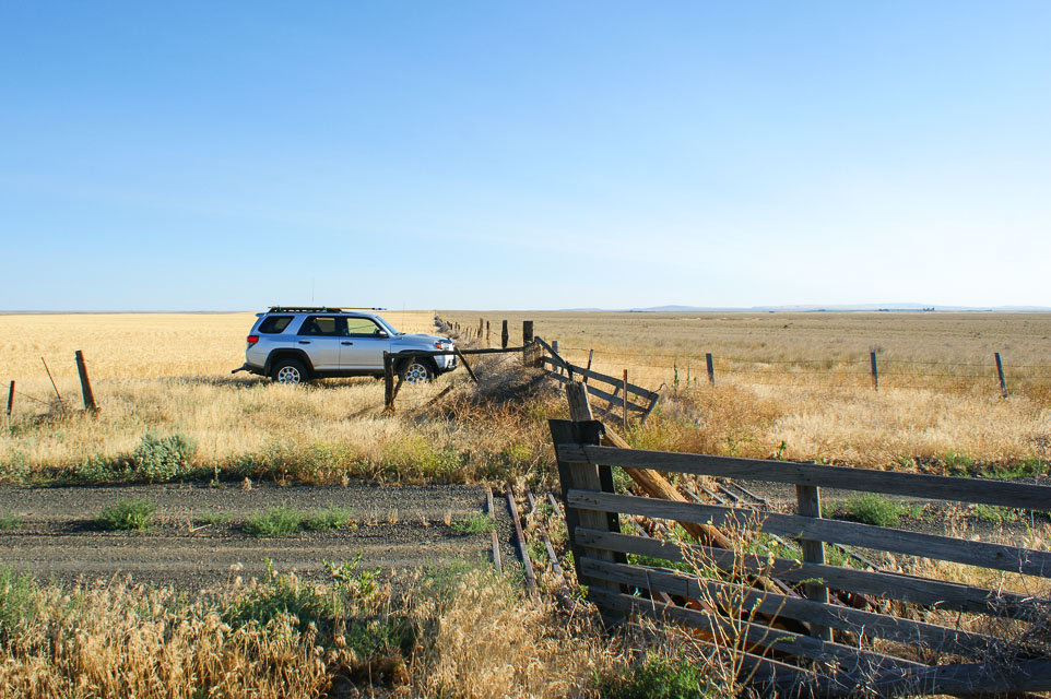
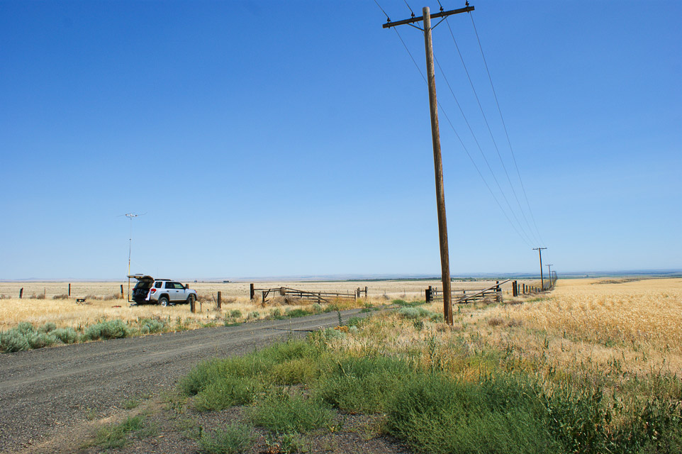
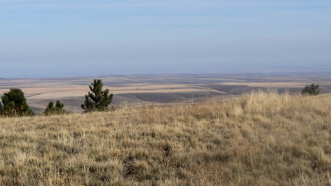
This is a high point among the wheat fields with no obstructions in any direction. There is nothing around taller than a stalk of wheat or fence post. Good paths to W6 and VE7, Midwest, Oregon, all directions.
This spot is radio-quiet with little background noise. However, some arcing noise on 2m gradually built up over the day as temperatures rose to 95F. It can get windy.
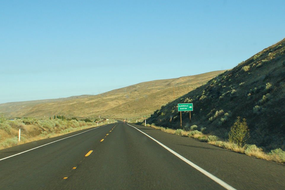
This is a nice, quiet location in the northwest corner of DN05. You can see Golgotha Butte DN05au (closed) about 5 miles away toward the southeast. This area has miles of beautiful vineyards and supports many well-known labels: Chateau St Michelle, Mercer, Columbia Crest, etc.
Driving directions: From Hwy 14 along the river, turn north on Alderdale Road.
- Drive past Golgotha Butte a few miles
- Turn left (west) onto Petersen Road
- Drive 1.9 miles to a fence intersection and cattle crossing grate
Restrictions: The fields are signposted "no tresspassing" but this wide turnout on top of the hill has ample space.
Golgotha Butte, DN05au95
| 45.855690, -119.918070 |
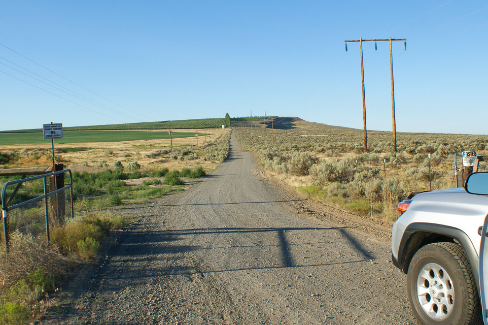
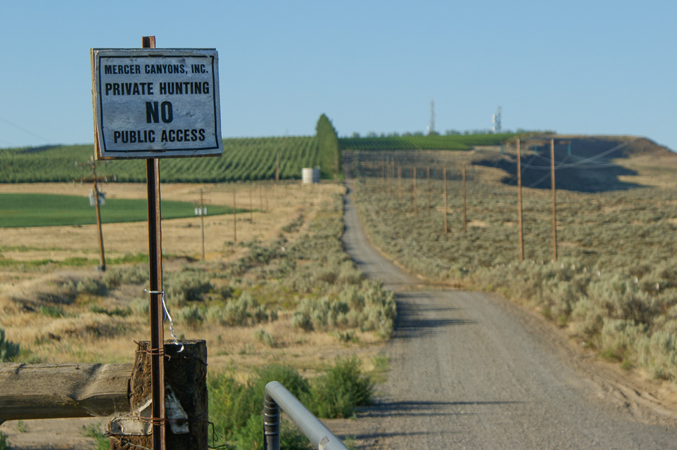

DN05 has just a thin sliver of its northwest corner in the state of Washington. A high point is Golgotha butte with a 360 degree view. It's located south of Yakima, about 1.5 miles north of the Columbia River via a very straight, but somewhat rough, gravel road. Best alternative is Petersen Road DN05aw, about five miles north. Also look at nearby Crow Butte, although satellite photos suggest that the access road is gated.
Restrictions: July 2012: Gated closed. Signpost said no public access for any purpose. This hilltop is fully developed by a winery and is closed to the public.
Umatilla NWR, DN05fv24
| 45.893496, -119.559877 |
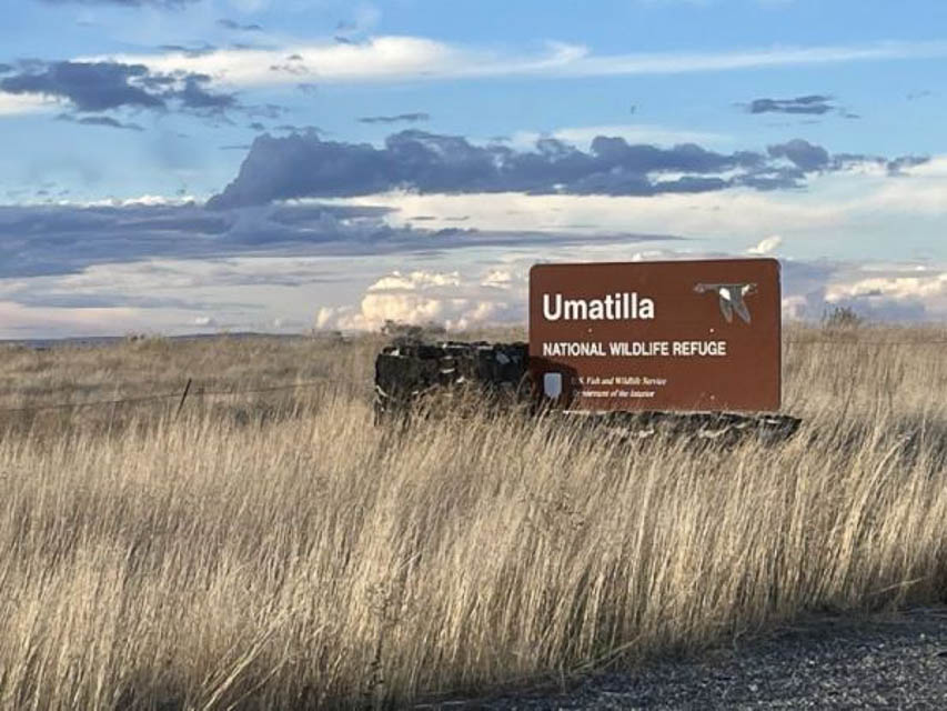
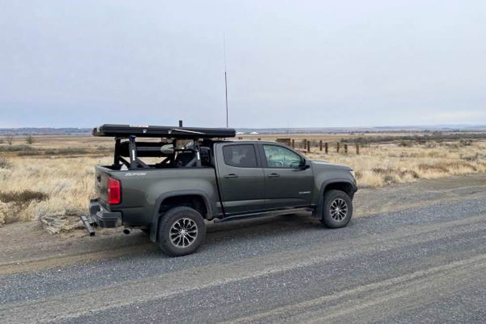
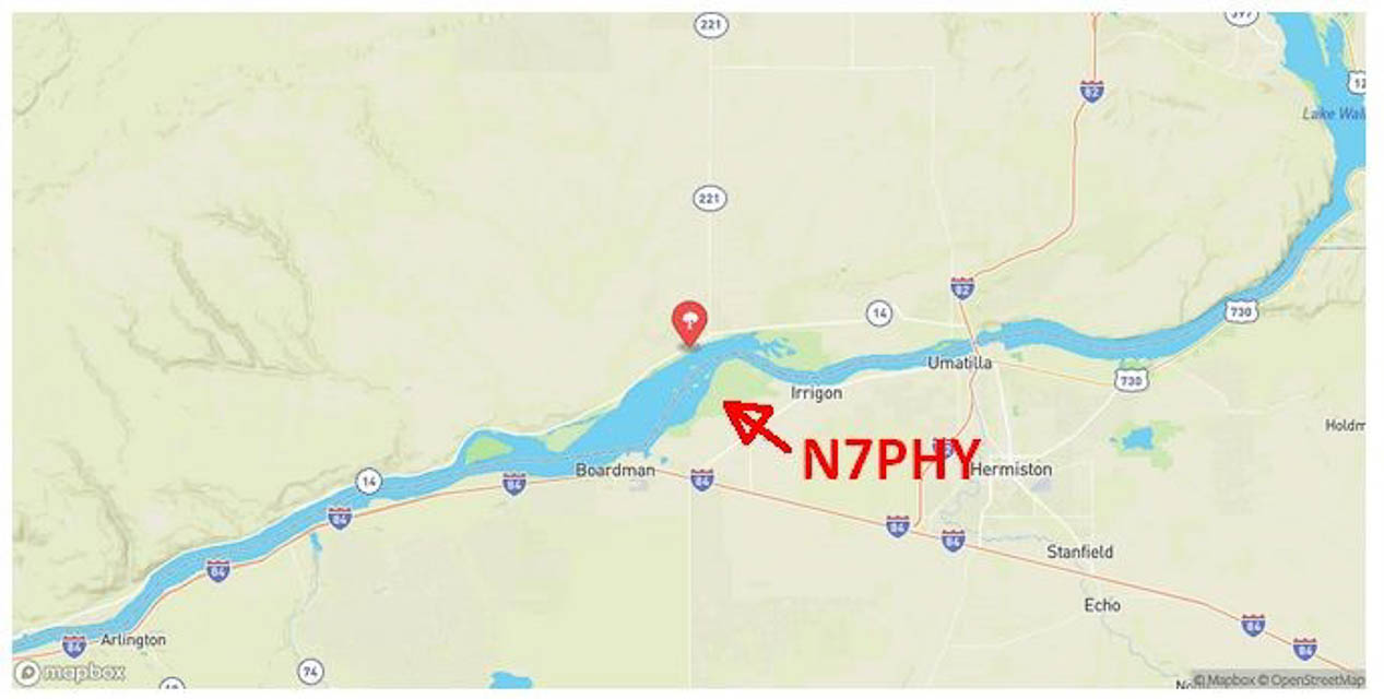
Umatilla National Wildlife Refuge is a clean quiet place to park with good horizon in all directions. See also Fish & Wildlife Service website.
Driving directions: The main entrance, located on the McCormack Unit, is 10 miles south of I-84 at the end of Paterson Ferry Road.
Restrictions: Parking is allowed in designated parking areas only.
The refuge is open from sunrise to sunset. No overnight camping.
Cold Springs, DN05ku15
| 45.855340, -119.156640 |

Cold Springs Wildlife Refuge is POTA K-0499. This mostly a grassland surrounding a small lake six miles (15 minutes) east of Hermiston, OR. Except for some trees surrounding the lake, the horizon is good in most directions.
See also the Cold Springs National Wildlife Refuge website by the US Fish & Wildlife Service.
Driving directions: The drive to the park is a simple gravel road, nothing difficult.
Restrictions: Day use only.
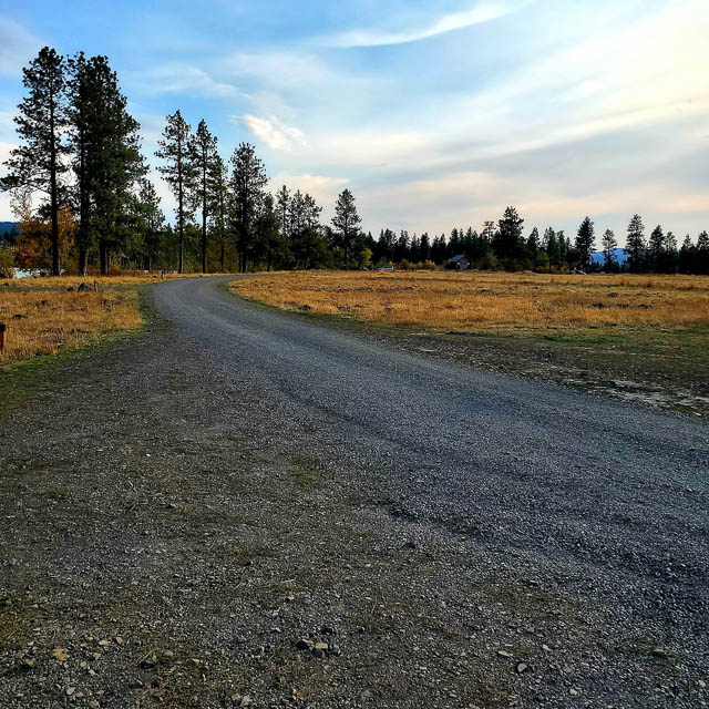
Morgan Lake, DN05wh32
| 45.302332, -118.137613 |
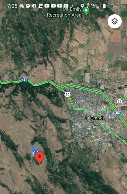
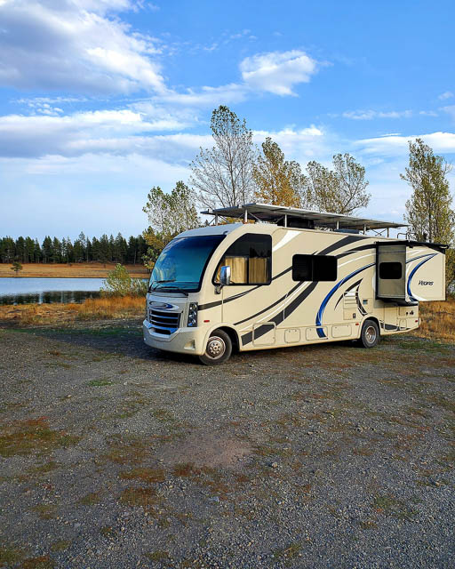
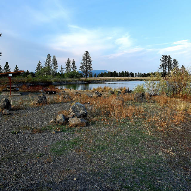
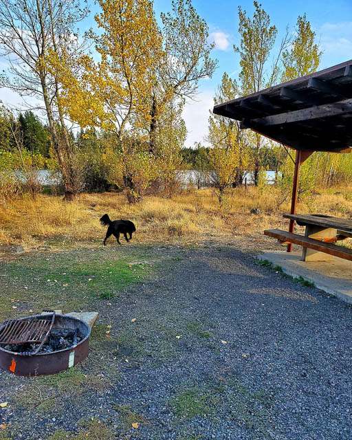
Morgan Lake is a free dispersed campground area around a 60-acre surface area lake that was a former gravel pit, re-purposed for recreation and stocked for fishing. It's managed by the city of LaGrande, Oregon.
Eight camping spots on the lakefront with a handful of more pullouts. Some have full sun, some are shaded. All have covered picnic tables with fire ring. Usually has a burn ban. 55-gallon trash cans spreadout through the area. No toilets, water, or other services.
Access was interesting. This area is basically on top of the mountain (4,200' amsl) and the road was steep. Signs at the base warn of steep/narrow roads and one said 17% grade. Road had the requisite washboard and potholes and really was very steep in parts. Road is hard packed gravel in 2021 and is in pretty good shape. Some reviews said 4wd is needed, but several big RVs are up there.
Verizon cellphone is pretty weak and very spotty. ATT is only slightly better.
Restrictions:
Last day open is Oct. 31.
Free camping is limited to 3-day stay.
Camp gates locked at 10pm and open at 6am.
Boats allowed but no gas or electric motors.
Ukiah Ridge, DN05mh22
| 45.301910, -118.979514 |
Here is a DN05 operating location with easy access just north of Ukiah, roughly DN05mh22. Bear Creek Road runs along a ridge by Highway 395 (Pendleton-John Day Hwy) with a good open view of the horizon in all directions. There is no significant vegetation and a variety of operating locations.
We were running 5 elements on 2m. We had a good signal path to Cesar N7BUS on Mt Walker (47.7756, -122.9137)to the north in the June VHF 2017 contest. --Ward KD1RX
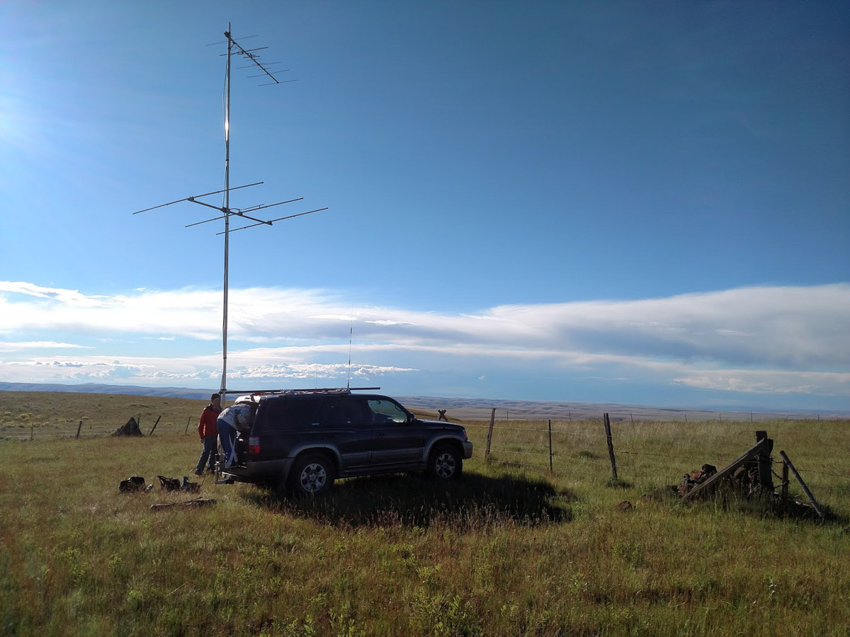
Skyview Cemetery, DN05on48
| 45.578878, -118.796357 |
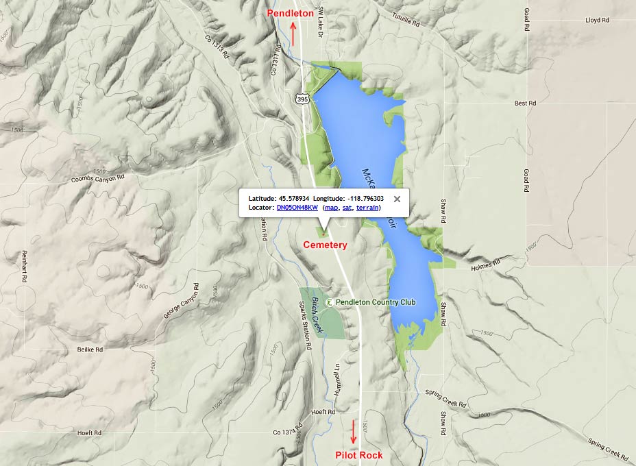
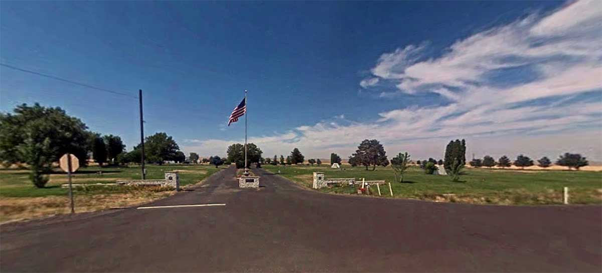
Skyview Memorial Park looks like a promising spot on a high bluff along Hwy 395 just south of Pendleton.
Skyline Road, DN05xo97
| 45.613150, -118.001600 |
Battle Mtn, DN05mh22
| 45.301848, -118.980528 |

Convenient access from Hwy 395 makes this local high point a quick stop with good propagation in all directions except east. Near a knob, we stopped at a wide point that provided ample space to pull off, but the dirt road continues upward to the mountaintop.
Battle Mountain State Park with campground is nearby at 45.28361,-118.96972 on Carney Butte.
Restrictions:
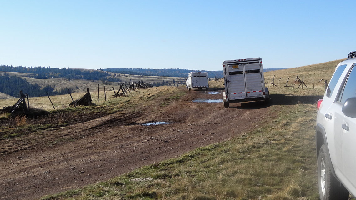
Be sure to park off the road as big trailers for cattle ranchers can be common.
Pendleton, DN05op68
| 45.661732, -118.781047 |
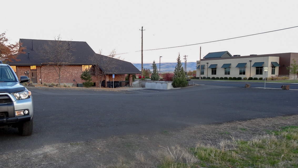
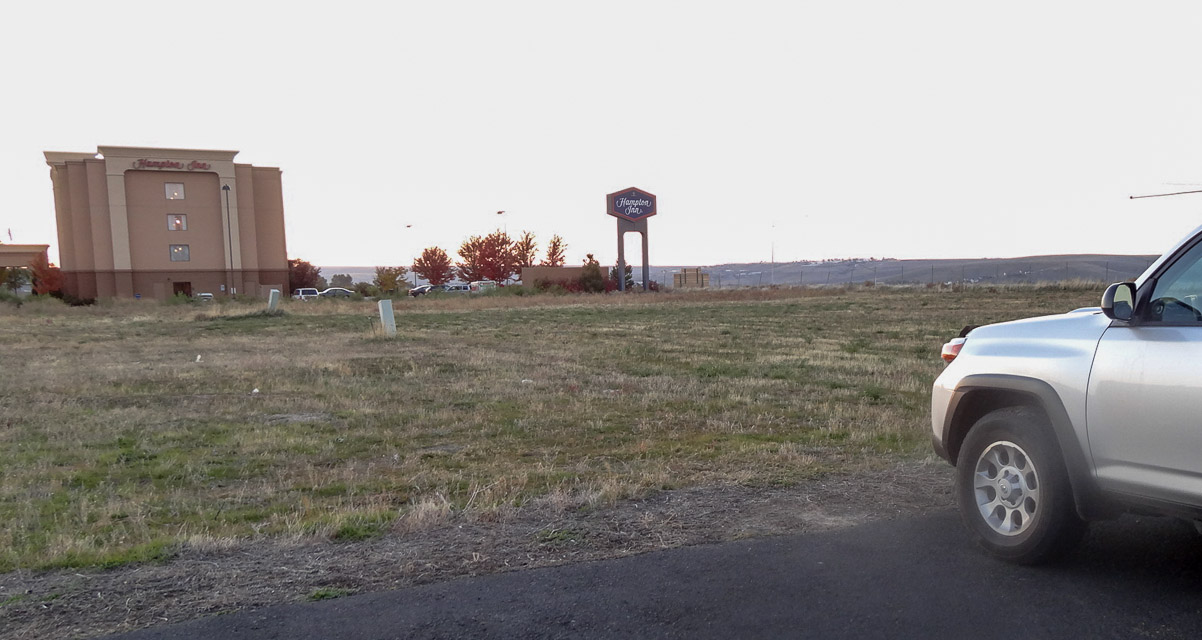
This used to be an easy hilltop in Pendleton among a strip of hotels, providing quick setup and good propagation to Tri-Cities area and beyond. Look around and try something nearby; this particular spot is under construction.
Driving directions: Easy access from I-84 exit 210. There are several areas along SE Nye Avenue that could be used. I like the paved lot between Hampton Inn and Social Security office. Note there are higher hilltops a few miles west of Pendleton on I-84.
Restrictions: 2014-08-17: Unavailable. This area is fenced and under construction.
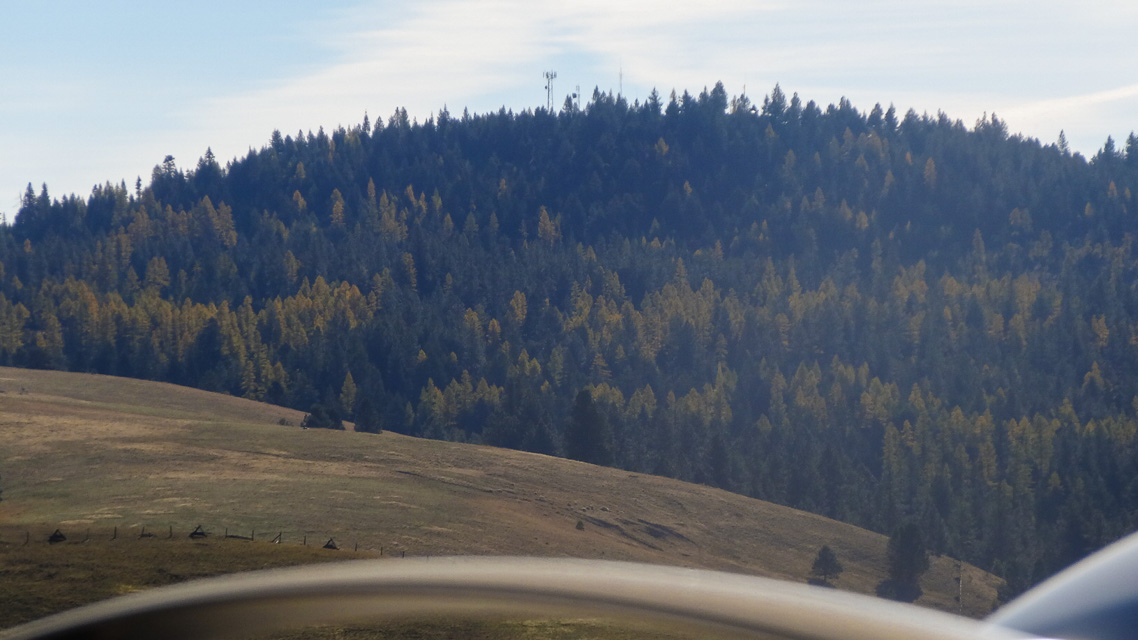
Mt Emily, DN05wk95
| 45.438167, -118.091500 |
I visited Mt. Emily in August 2001. The final run from the tree line up to the top is extremely rough and rutted. I do not recommend it with a two wheel drive vehicle. The road is very badly rutted with numerous rocks in the center - great for tearing a hole in your oil pan.
The roads getting there are not marked, and you will come to a lot of forks. I just kept heading for high ground and eventually made it. The top of Mt. Emily was a disappointment. There are five antenna towers up there, and quite a lot of trees that make finding a path difficult. There is a lot of RF flying around - I finally turned my two meter mobile rig off because the squelch control was completely overwhelmed. There is a good path to the SE, but other directions are blocked because of trees. It would take some tall masts to get over this.
Indian Rock looks like a better site. There are some trees in the way, but you can easily work around them.
Driving directions: Take exit 243 (Summit Road/Mount Emily Road, NFD 031) off of hiway 84.
- Go east on NFD 031 18.9 miles to junction of NFD 31 and NFD 3120.
- Turn right (south) on NFD 3120 (Skyline Road).
- Travel 4.9 miles to Mt. Emily.
Indian Rock, DN05wl81
| 45.466650, -118.096967 |
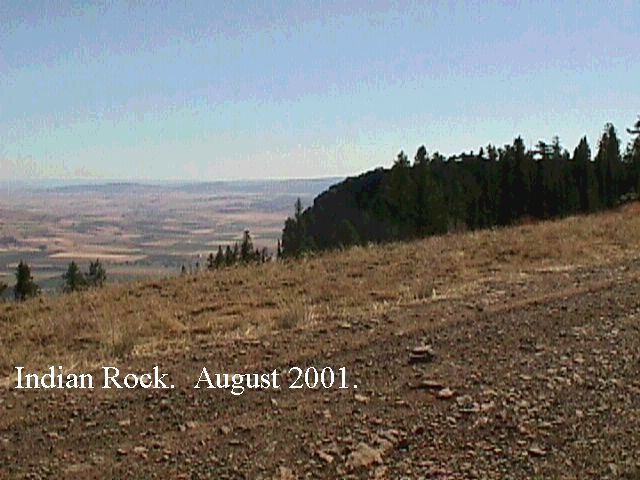

I visited this site in August 2001. The last 2.6 miles into this location is a real bone rattler. Clearance not a problem, but it is a lot like driving on cobblestones. The road is all sharp rock and could be very hard on tires. This is an isolated location, but they actually have a small campground with a picnic shelter and a campground host.
The picnic shelter has an excellent view to the SE. (See the photos) The campground has pit toilets and no other amenities other than a great view. Many maps show a campground about 1/2 mile south of Indian rock, but it no longer exists.
I came into Indian Rock from the north, and the campground host warned me about continuing south towards LaGrande on Compton Road and Fox Hill Road. He claimed that there is a steep grade that is nearly impassible, so his suggestion was to leave the area by going west to I-84.
Driving directions: Take exit 243 (Summit Road/Mount Emily Road, Forest Road 031) off of hiway 84.
- Go east on Forest Road 31 18.9 miles to junction of Forest Road 31 and Forest Road 3120.
- Turn right (south) on NFD 3120 (Skyline Road).
- Travel 2.54 miles to Indian Rock.
- The last 2.6 miles is extremely rough!
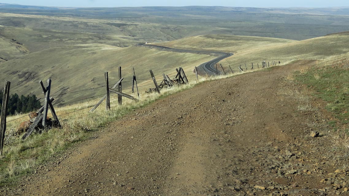
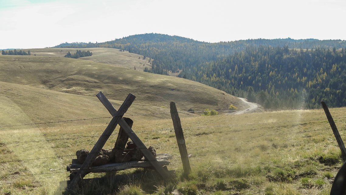
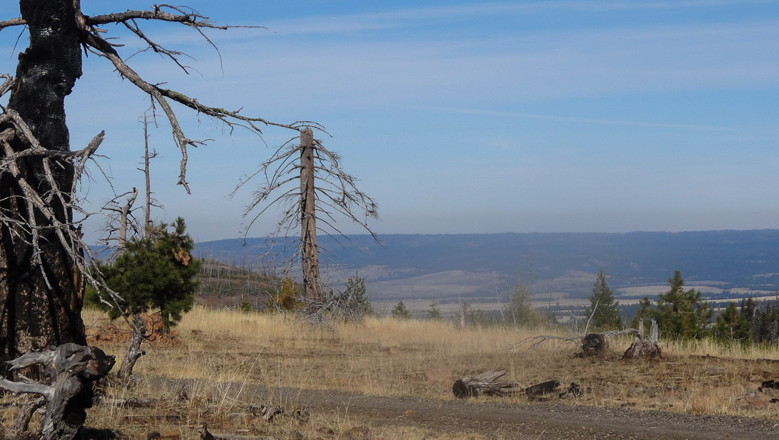
Emigrant Hill, DN05qn29
| 45.581783, -118.644067 |
There are several good operating locations along the old highway between exits 224 and 228. Just look for the clusters of radio facilities and the gravel roads leading to them. Watch for "no trespassing" signs as there is one cluster of radio facilities that is off limits. Plus, for the modest radio operator, you are conveniently within a short drive of a restroom at Exit 228!
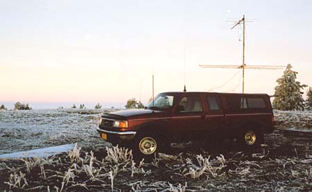
The image above is WR7X on Emigrant Hill in the January 2003 VHF contest.
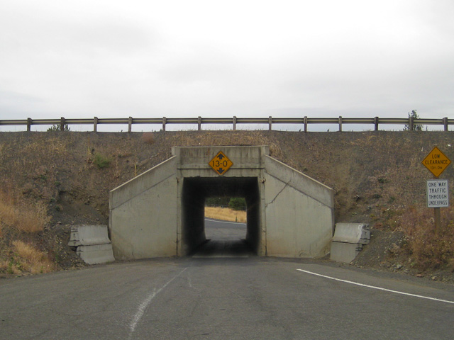
Be forewarned, the underpass at Exit 228 was not designed with radio contesters in mind, it is very narrow and VERY low clearance. Should you need to head east while parked at the rest area north of the freeway, you'll need to proceed down the old highway to Exit 234 and get back on the freeway. Same is true if you missed the 224 exit heading eastbound, you'll want to go to Exit 234 and double back.
Driving directions: I-84 east from Pendleton to Exit 224.
- Go north back under the freeway to Old Emigrant Hill Road.
- Turn right.
- Or, I-84 west from Meacham, take Exit 228 at Deadman Pass.
- Stay north of the freeway past the rest area on the 2-lane road.
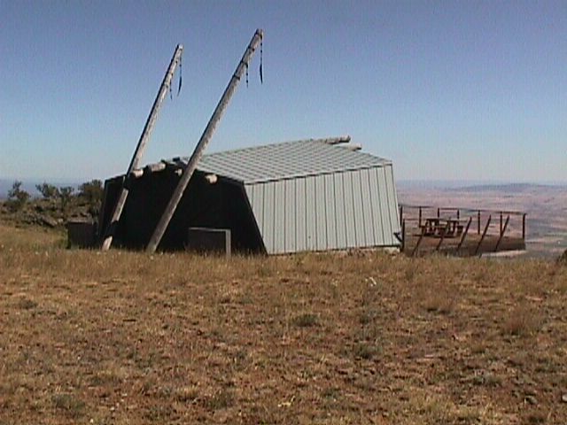
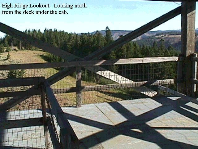
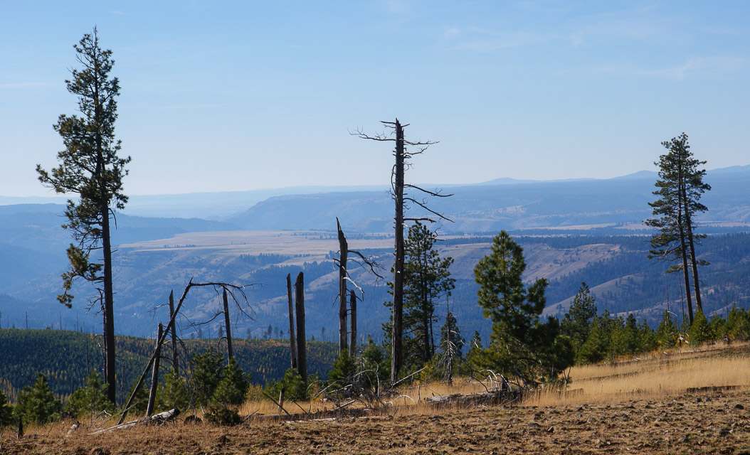
High Ridge Lookout, DN05wq73
| 45.682150, -118.101767 |
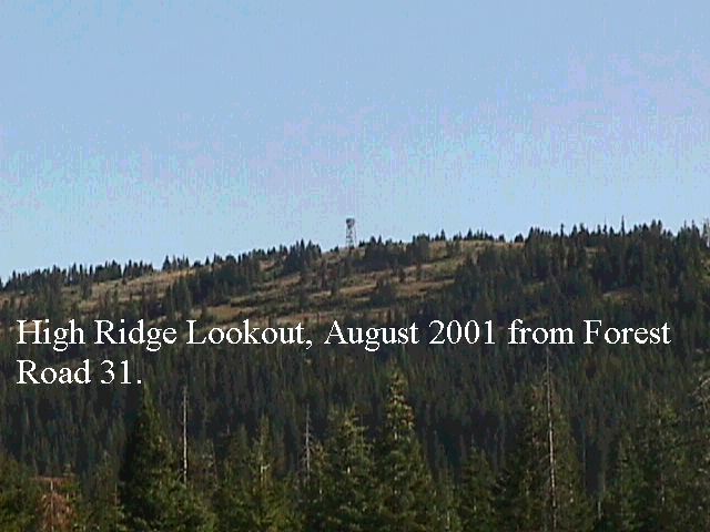
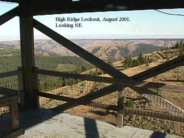
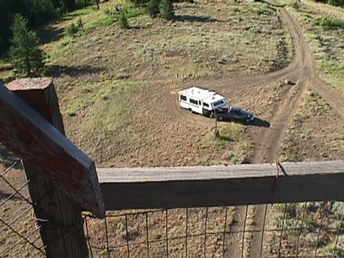
This is a Forest Service fire lookout located on a ridge North of LaGrande, Oregon and due east of Pendleton.
Update 9/2003: Per Rex, WR7X the road to High Ridge is now gated.
It has excellent exposure in all directions. The location on the ground is great, but the decked platform just under the cab on the lookout is even better. Judging by the amount of lightning grounding on the guard tower they must get some horrendous lightning storms up there. This is a great site and is easy to get to. See the photos - I counted 79 steps from the ground to the deck below the cab, so it has to be at least 60 feet off the ground.
This location is not marked on the DeLorme maps, but shows up in the Benchmark map book, Map 43, grid D8.
Driving directions: It is best to locate this site on a good map and then determine the best route. It is on Forest Road 31 (Skyline Road).
The roads are well maintained, but many signs are missing. Set your GPS for N45.68091, W118.09009 - this will take you
to the turn-off from Skyline Road to the lookout. I recommend that you go there via Highway 82 and Elgin - it is a little
farther, but the roads are much better and a lot faster. Coming in from I-84 you have to travel a lot of gravel road,
and it is very dusty. The route from Highway 82 is paved except for the last mile.
From I-84.
Take Exit 243 (Summit Road/Mount Emily Road, Forest Road 31) off highway 84
- Go NE on Forest Road 31 approximately 30 miles to High Ridge Lookout Road
- As soon as you take High Ridge Lookout Road, the road splits
- Take the road on the left that parallels the main road
- Go north approximately one mile on High Ridge Lookout Road
From Highway 82. Go to Elgin on Highway 82
- From Elgin, take Highway 204 to Forest Road 31
- Go SW on Forest Road 31 approximately four miles to High Ridge Lookout road
- As soon as you take High Ridge Lookout Road, the road splits
- Take the road on the left that parallels the main road
- Go north approximately one mile on High Ridge Lookout Road
Restrictions: 9/2003: Rex WR7X reports the road to High Ridge is gated.
White Pine Trough, DN05pa06
| 45.026167, -118.744167 |
High ground in burned off area, about 14 miles east of Ukiah, OR and south of Pendleton.
There are several good operating locations along Oregon Highway 52 - the Blue Mountain Scenic Highway. We chose this one along a ridge line but many others would work well, too. The Benchmark book shows a fire lookout just south of Highway 52 that is not in the DeLorme book.
Driving directions: Take Hwy 395 to the intersection of 395 and highway 244.
- Go east about two miles to Ukiah and then take Highway 52 east about 14 miles.
- There are numerous high points that are easily accessible from the highway road.
| < Previous | Page 9 of 27 | Next > |
©1998-2026 Barry Hansen