Rover Location Database
Oregon Rover Locations
- OR Map
- OR List
- Select Grid
- OR from CN85
- DN15 Wallowa
- DN14 Baker City
- DN13 Boise
- DN12 Outback
- DN05 Pendleton
- DN04 John Day
- DN03 Burns
- DN02 Steens
- CN95 The Dalles
- CN94 Bend
- CN93
- CN92 Klamath
- CN86 Centralia
- CN85 Portland
- CN84 Corvallis
- CN83 Roseburg
- CN82 Medford
- CN76 Astoria
- CN75 Lincoln
- CN74 Newport
- CN73 Coos Bay
- CN72 Pt Orford
- Add a Place
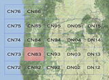
Grid Square CN83
9 locations - Spencer Butte Trailhead - Kenyon Mtn - Spike Butte - Round Mountain - Taylor Butte - Wards Butte - Dickinson Mtn - Devore Mtn - Carter Ridge
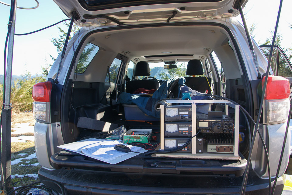
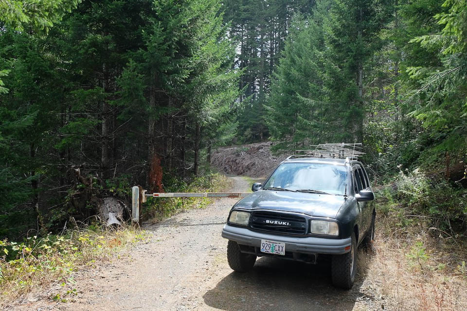
Potential VHF rover sites in grid CN83.
CN83 dimensions are 100.3 by 69.2 miles.
Explore this grid in Google Earth or equivalent:
Spencer Butte Trailhead, CN83kx75
| 43.980381, -123.102061 |
Spencer Butte is a nice peak for VHF, but the closest you can drive is the Trailhead parking lot. There's a decent takeoff NW to N, but being right on the hill there's no other viable direction.
Kenyon Mtn, CN83ca60
| 43.002136, -123.779354 |
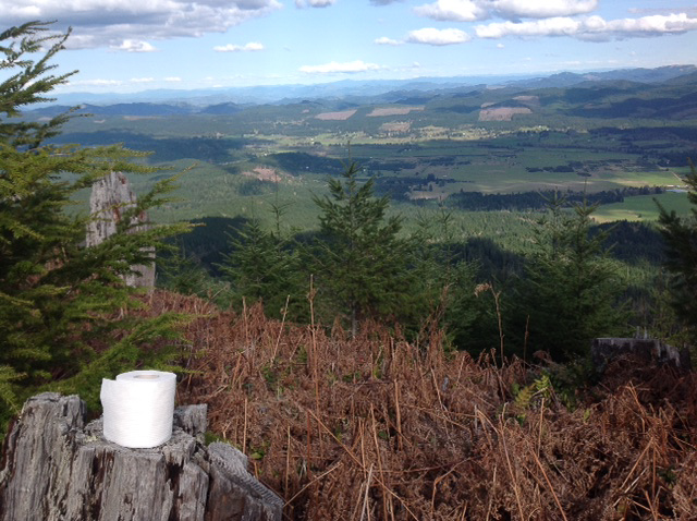
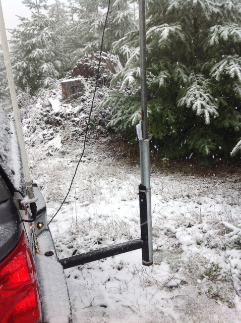
Kenyon Mountain is also called Signal Tree. Photos by Phil KD7ZD in the Spring Sprint for 220 MHz on April 13, 2015.
Spike Butte, CN83kp42
| 43.633833, -123.132167 |
An excellent location just barely south of the CN83-84 gridline, which will typically offer propagation north to Eugene and south to California.
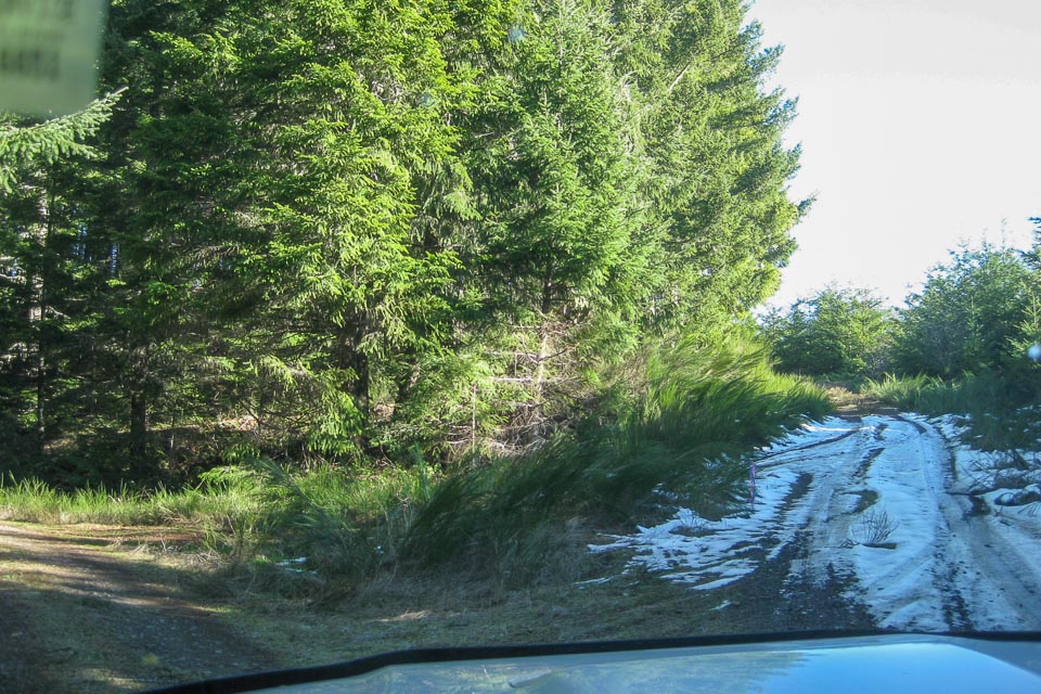
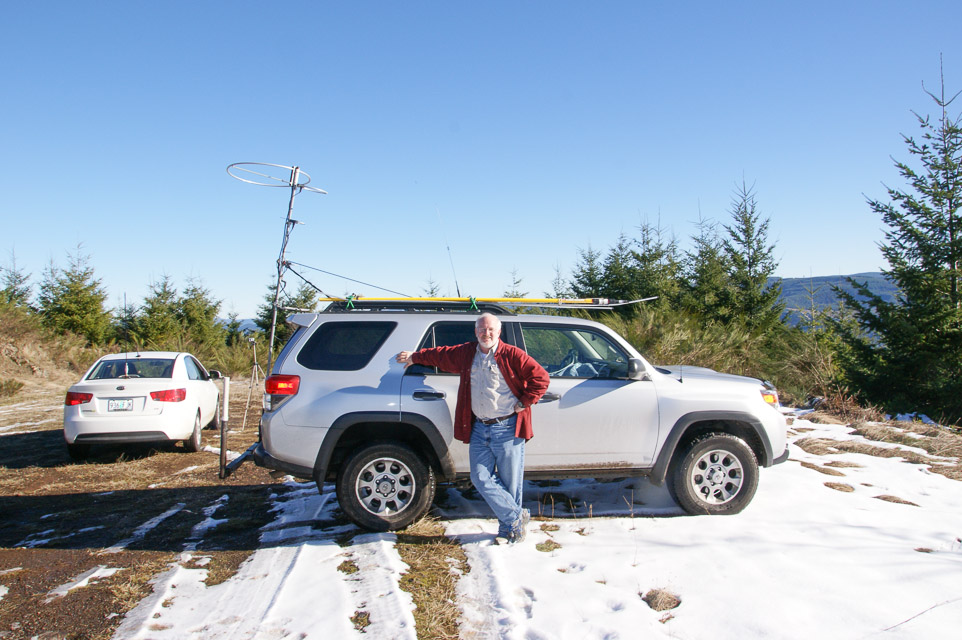
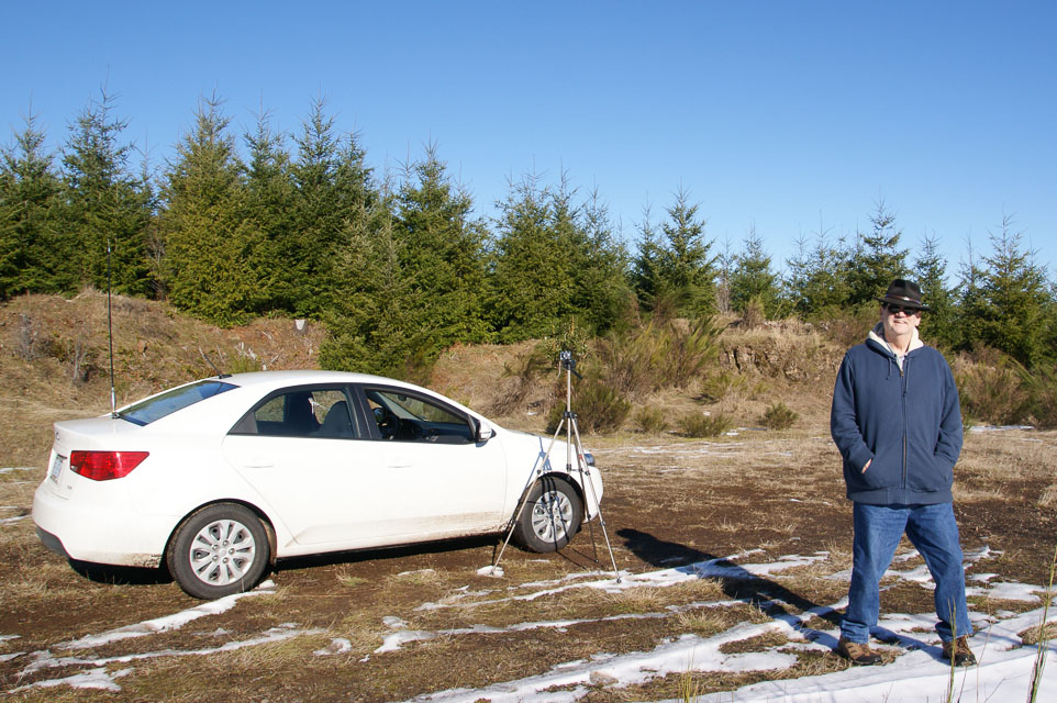
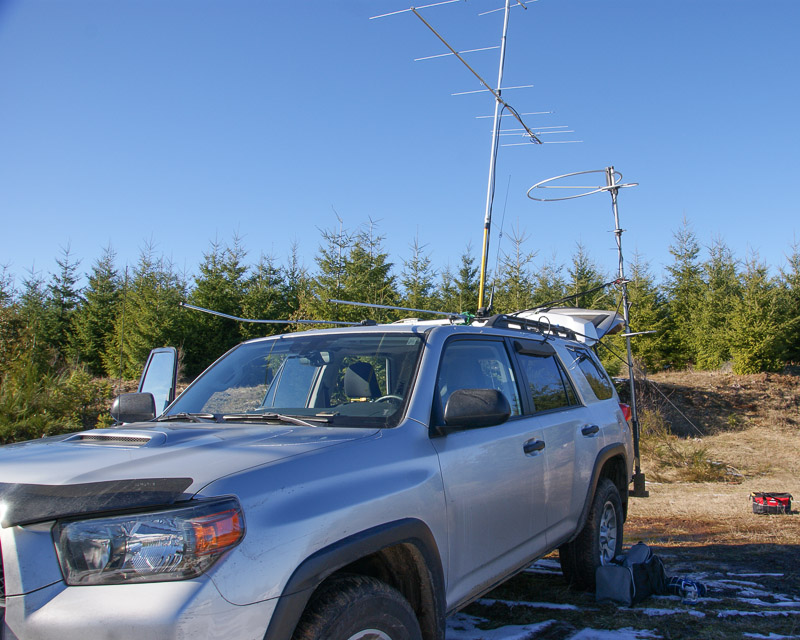
Barry K7BWH and Tom K7ZL operated here in the 2013 January VHF Contest. Normally this is snowed in during winter but a freak temperature inversion had cleared the BLM roads.
Also try CN83kp31na outcrop nearby for a southern exposure.
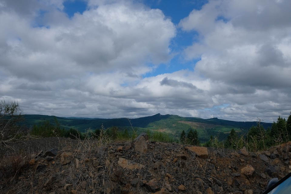
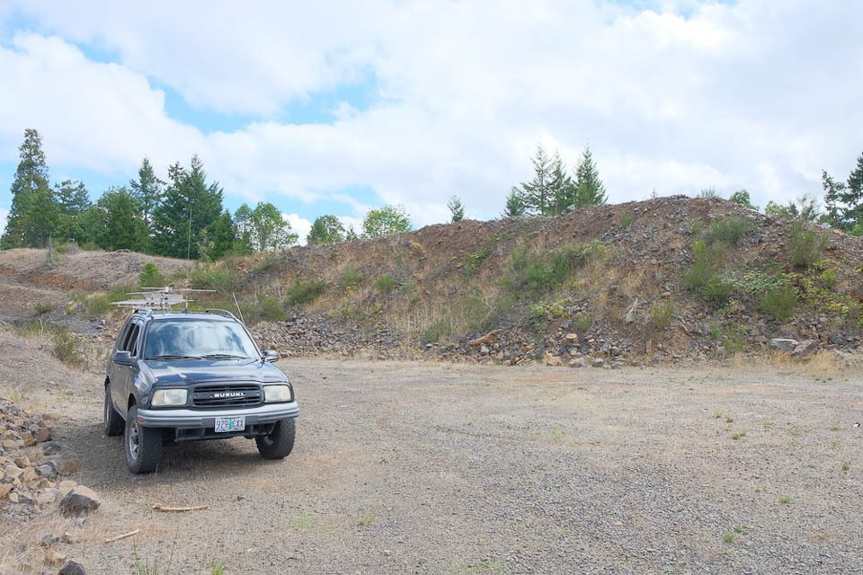
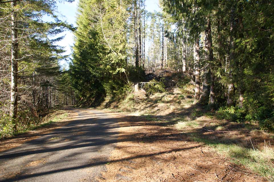
Round Mountain, CN83jw40
| 43.917325, -123.215833 |
It looks suspiciously driveable just south of the CN83-CN84 grid line near Eugene, OR.
However, it's gated at the Lorane Hwy. Looks like the beef company owns the property, due to the giant gate at the road.
Driving directions: This is 45 minutes from Eugene on back roads, or 45 minutes from Creswell.
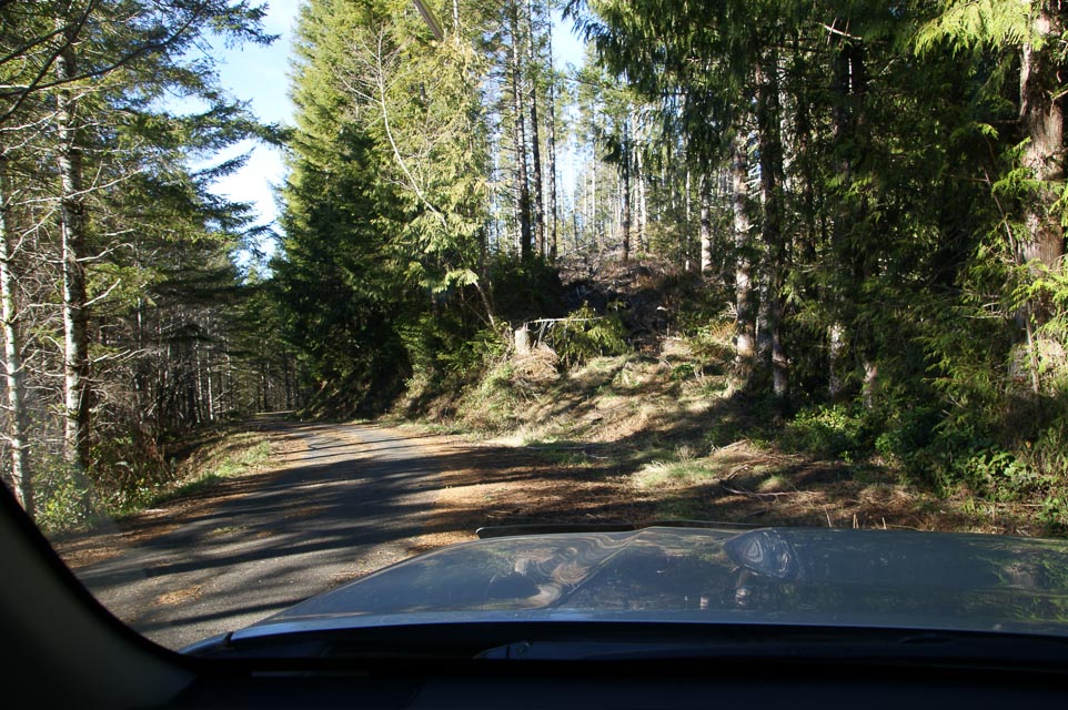
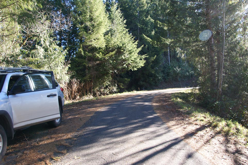
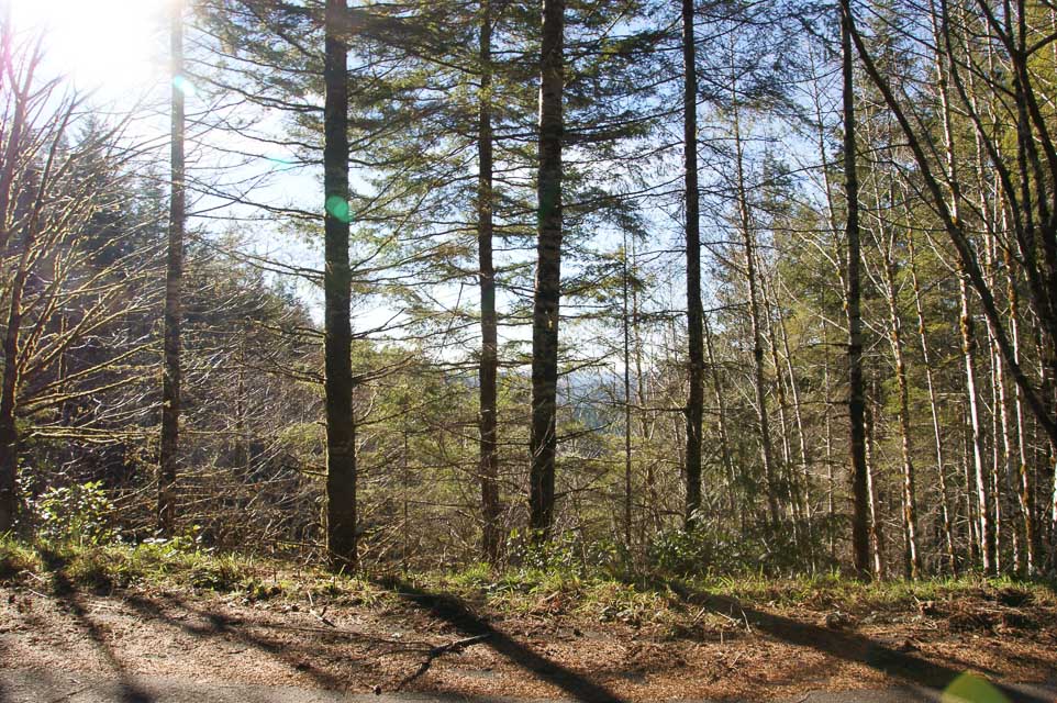
Taylor Butte, CN83ls46
| 43.777818, -123.043292 |
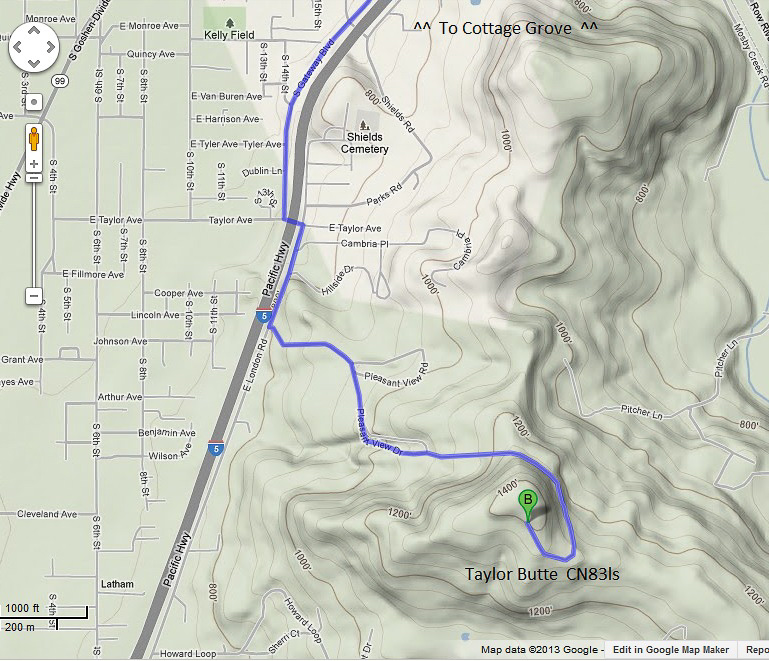
Taylor Butte looks like a drivable high point near CN83-CN84 grid line near Eugene. But it's gated off below the summit, and there are no viable operating spots due to houses.
Driving directions: 20 minutes south of Creswell, OR:
- I-5 exit 174 toward Cottage Grove / Dorena Lake
- Slight left onto N Gateway Blvd
- Turn left on to E Taylor Ave
- Take the first right onto Hillside Drive
- Take the third left onto Pleasant View Drive, drive 0.9 miles
Restrictions: Satellite view shows radio towers on this hilltop.
Wards Butte, CN83kr06
| 43.736717, -123.158884 |
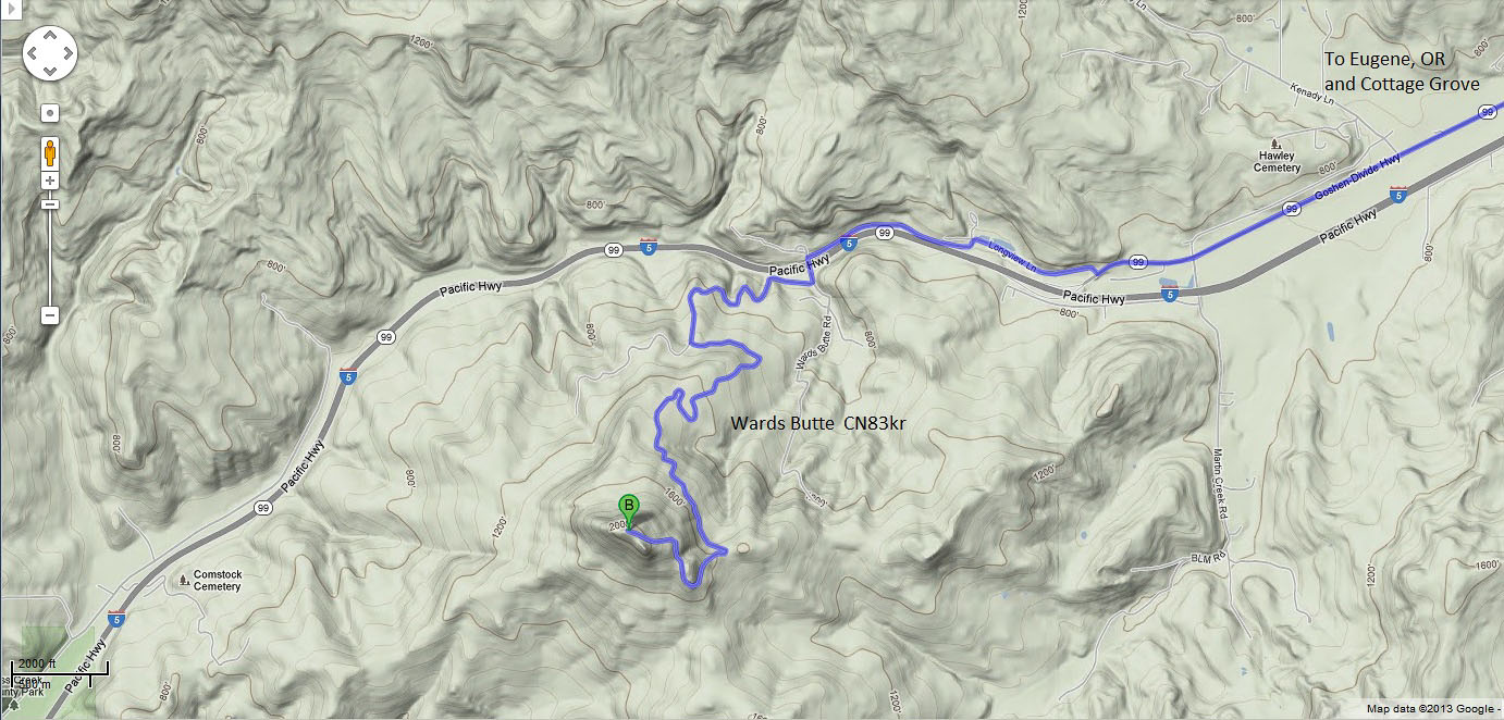
Another high point near I-5 just south of the CN83 grid line.
Sept 2019: it turns out that one direction the road is gated, and the other was past an open gate on Friday but the road was well blocked off and grown over. There is a pretty good spot just to the East, but on Sunday the second gate was closed and locked. They are doing a bunch of logging up there, so I think in the near future it will be closed off.
Driving directions: Take I-5 exit 174 in Cottage Grove
- although Wards Butte is alongside I-5, there is no nearby exit
- Turn right onto E Cottage Grove Con
- Slight left onto OR-99 South
- Turn right to stay on OR-99 South
- Turn right onto Longview Ln
- Slight left to stay on Longview Ln
- Turn left onto Wards Butte Rd
- Take the first right
- Take the first left, drive 2.3 miles
Dickinson Mtn, CN83jn41
| 43.546293, -123.215296 |
Hilltop near I-5 in southern Oregon, about an hour south of Eugene. It looks good on a map but it's gated off at 43.54297, -123.23611. This is posted as Dougas Forest Product land ownership.
Driving directions: An hour south of Eugene:
- Take exit 154 toward Scotts Valley / Elkhead
- Turn left onto Anlauf Rd / Co Rd 25 / Elk Creek Road, drive 0.3 miles
- Turn left onto Elkhead Road, drive 3.0 miles
- Slight right on to BLM Road 23-4-9.0, drive 1.1 miles
- Look for clearing on your left at the top of the hill
Devore Mtn, CN83io36
| 43.610927, -123.303616 |
Gated at Hwy 99 when the county transfer station is closed, and looks permanently gated up the road when the transfer station is open. Looks like a Douglas Forest Products gate.
Driving directions: An hour south of Eugene, OR:
- Take I-5 exit 150 for OR-99 toward OR-38 / Yoncalla Drain
- Turn right onto OR-99 N / Eagle Valley Road, drive 3.4 miles
- Turn left onto Co Rd 296, near Jim Thorp Lumber Products
- Drive 1.7 miles up winding dirt (?) county road
Carter Ridge, CN83aw29
| 43.955480, -123.983240 |
2004-01: There are two operating locations on CN73/CN83 grid line. - Lynn N7CFO
2014-01: Good roads but heavily forested. Yes, this is one way to get into CN83, but its a 20-minute drive and I couldn't find a really good operating position in the clear. - Barry K7BWH
Driving directions:
- South on Hwy 101 going out of Florence.
- Turn left on to Canary Rd. (about 2.3 miles from the bridge)
- Follow Canary Rd for about 4 miles.
- Take left fork on to Maple Rd.
This is marked on maps as FR-953, but the actual sign says Maple Rd. - About 3.5 miles from turning on to Maple Rd is the first operating location, right on the edge of CN73/CN83 border. Elevation is about 850ft.
- If you go another 1/2 mile down the road you hit the second spot, which is in CN83. The reason for going farther into CN83 is because you gain about 150 feet of elevation and get to spot with a clear shot to the North. The GPS coordinates of this spot are 43.95548 N, 123.98324 West.
- If you go too far, it begins a steady downhill slope on the other side, eventually reaching Henderson Creek Road.
| < Previous | Page 20 of 27 | Next > |
©1998-2026 Barry Hansen