Rover Location Database
Oregon Rover Locations
- OR Map
- OR List
- Select Grid
- OR from CN85
- DN15 Wallowa
- DN14 Baker City
- DN13 Boise
- DN12 Outback
- DN05 Pendleton
- DN04 John Day
- DN03 Burns
- DN02 Steens
- CN95 The Dalles
- CN94 Bend
- CN93
- CN92 Klamath
- CN86 Centralia
- CN85 Portland
- CN84 Corvallis
- CN83 Roseburg
- CN82 Medford
- CN76 Astoria
- CN75 Lincoln
- CN74 Newport
- CN73 Coos Bay
- CN72 Pt Orford
- Add a Place
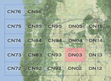
Grid Square DN03
10 locations - Rock Springs Campground - Bacon Ridge - Iron Mtn Road - Calamity Butte - Riddle Mtn - CN93-DN03 Line - King Mtn Lookout - Snow Mtn Lookout - Upper Dugout Creek - Thumbtack Resevoir
Potential VHF rover sites in grid DN03.
DN03 dimensions are 100.3 by 69.2 miles.
Explore this grid in Google Earth or equivalent:
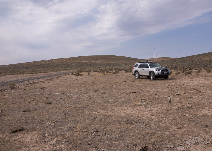
Rock Springs Campground, DN03nx99
| 43.999990, -118.839283 |

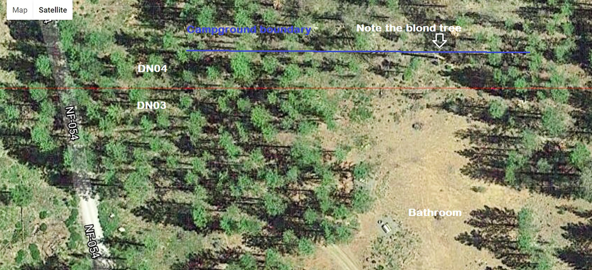
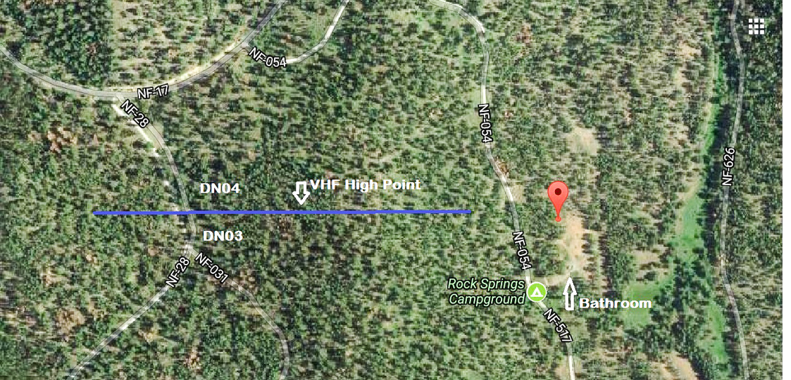
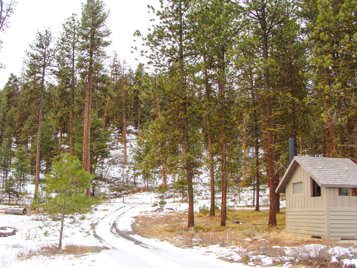
Rock Springs Campground spans the DN03-DN04 grid line, which runs across the north end of the campground. You can operate from a campsite and hand out two of the most rare grid squares. It's desirable to park exactly on the DN03/04 grid line – this is good for grid chasers which get both grids in one QSO. (Note that ARRL contest rules insist on moving and handing out one grid at a time.)
The campground itself is slightly below mild hills toward both east and west. Click here for topo map. The adjacent forestry road NF-28 provides relatively easy access near the high point on the ridge west of the campground (marked in the image as "VHF High Point"). The peak of the ridge might be possible by a drive in the woods. It's a gentle slope and it's only 200 yards off the road to get to the high point. The trees on top of the ridge are about 30-35 ft tall.
Bacon Ridge, DN03aa50
| 43.000010, -119.952410 |

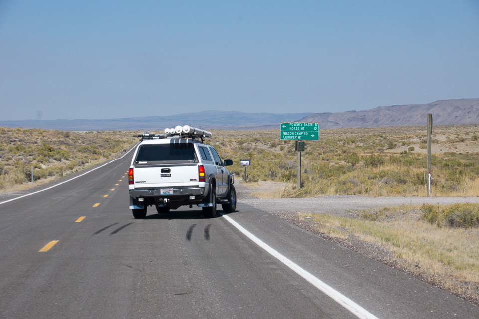
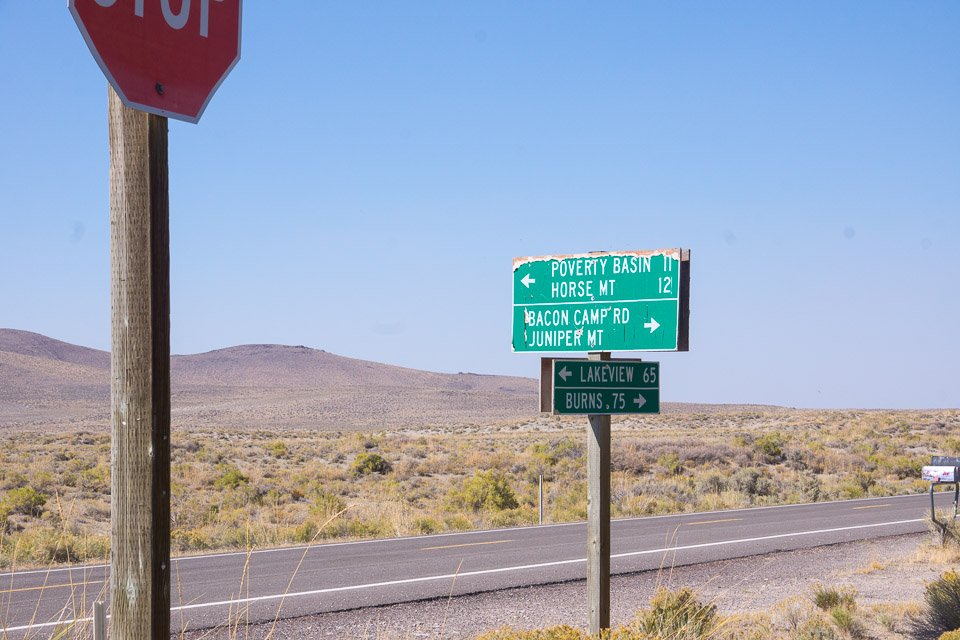
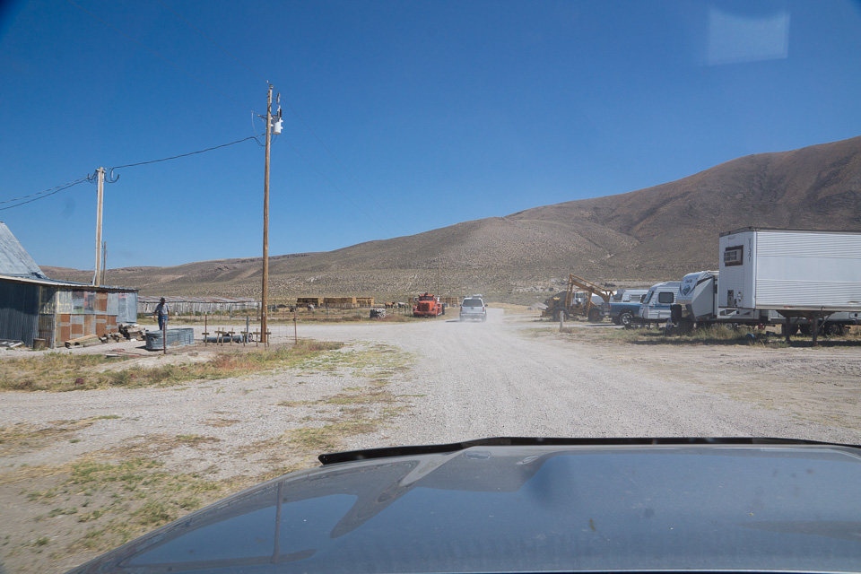
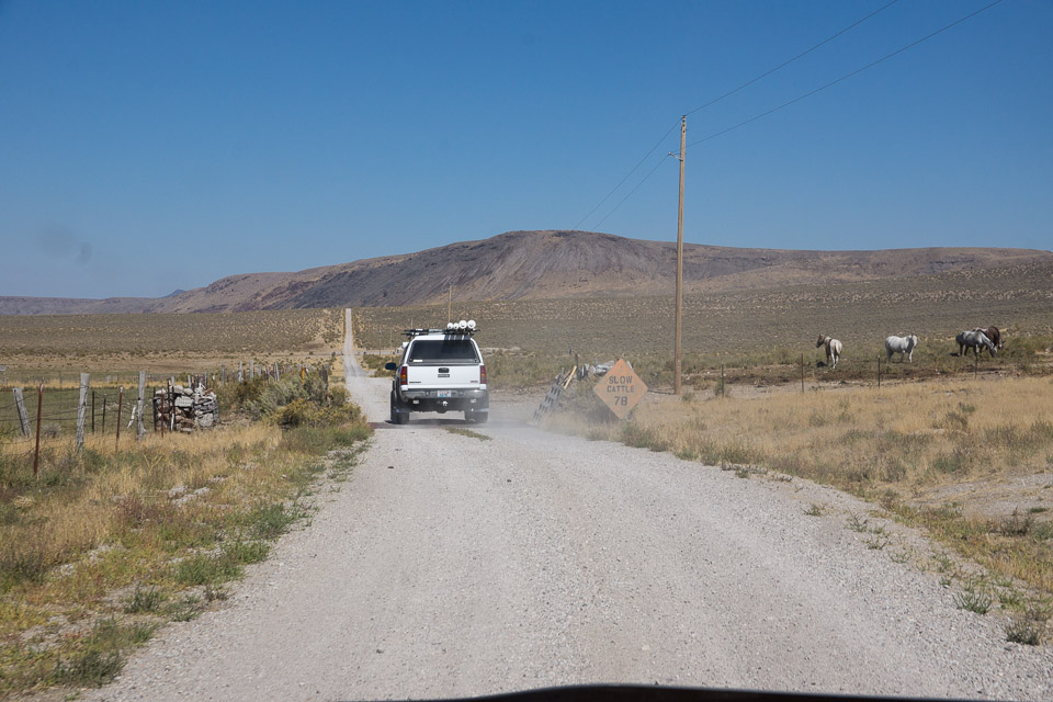


Bacon Ridge is a nice high ridgeline running north-south across the DN02-03 grid line. It is named after the cowboy camp in the valley below, "Bacon Camp". You'll drive through this compound on your way up to the ridge.
Bacon Ridge is along the way up to Juniper Mountain DN02aw, but this is much easier to reach. You could haul a trailer to Bacon Ridge but not up to Juniper Mtn.
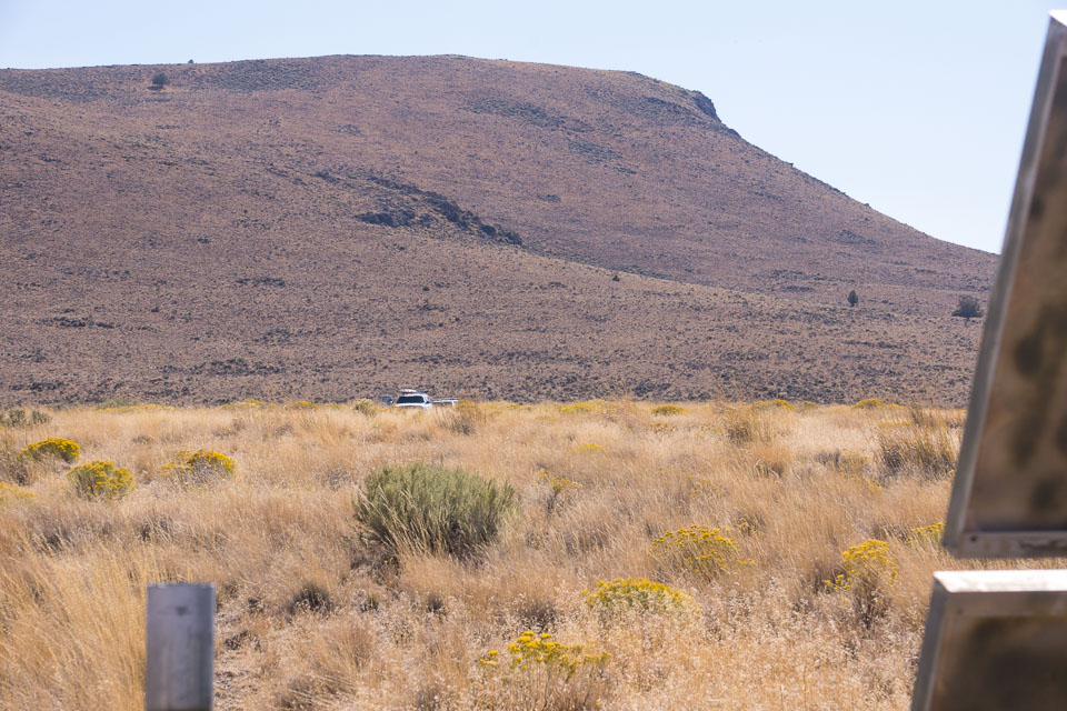
Iron Mtn Road, DN03xa30
| 43.003430, -118.057680 |


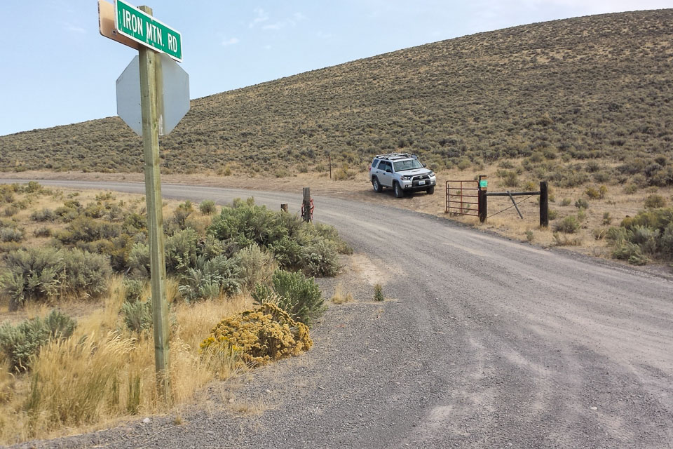
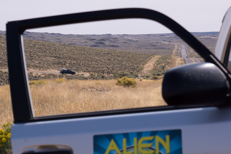


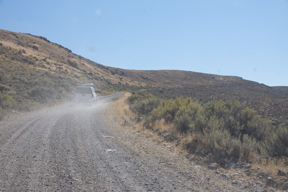
Iron Mtn Road is a dirt road loop from Steens Hwy 78 that serves a single ranch and leads to a spot near the 118-degree and 43-degree confluence. There is no access to any good hilltops and so long-distance propagation is terrible, but it's so close to the grid corner that it's a very convenient place for grid-circling rovers to pull off the highway.
There are a few reasonable spots to park. The entrance gate itself is DN02 and a hundred yards north on the main highway is DN03 (as seen through my open door picture). Or you can drive a half mile down Iron Mtn gravel road(DN03), and park in a clearing with a decent line toward Danner (DN12) and Cow Lakes (DN13).
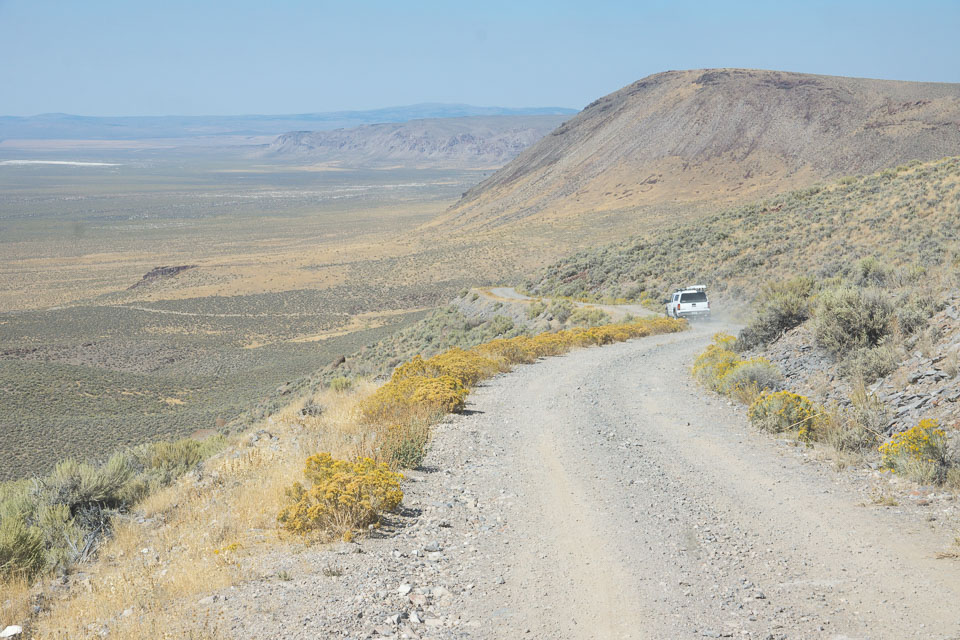
Calamity Butte, DN03ow02
| 43.928600, -118.825710 |


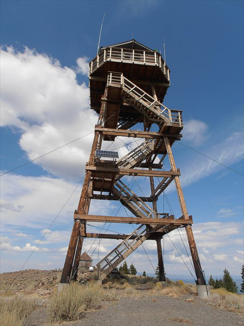
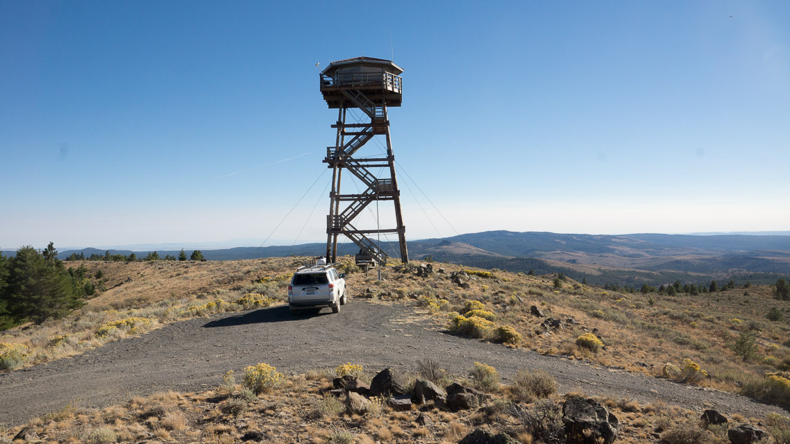
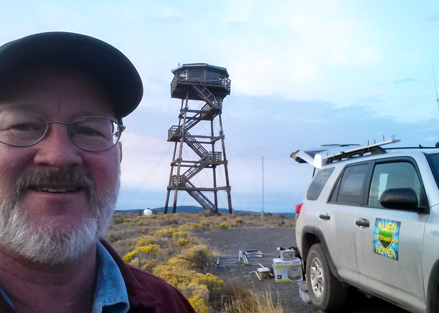
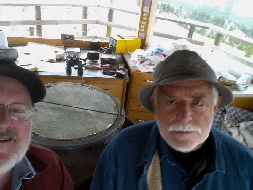


Calamity Butte at 6,700' with a staffed lookout tower was my favorite location in the 2015 Sept VHF Contest.
Tap on a tower leg to see if anyone is home; he doesn't always look down and the upper wind prevents him from hearing anything. Ken Wagner was friendly and accommodating and I was deeply grateful for the morning coffee. Be calm around his border collie who can become protective. You'll pass his cabin on the road up at the 5,000' level.
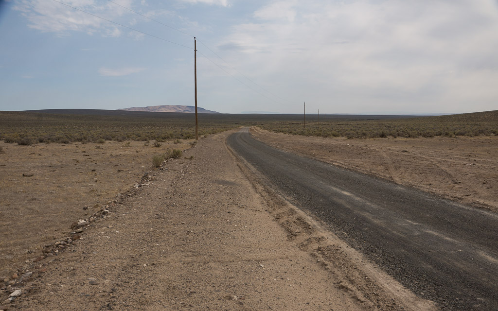
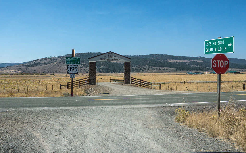
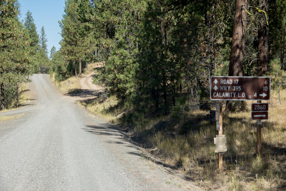
Driving directions: Look for the Silvie's Ranch turnoff on Hwy 395 (43.927830, -118.932286).
The turnoff is signposted "USFS RD 2840, Calamity L.O. 8 miles".
Note the sign is "2840" but Google maps says "2480". Go figure.
Drive 8 miles on smooth gravel road to reach county road 28.
Go straight across 28 uphill onto NF-2860.
Drive 4 miles; it took me about 19 minutes from Co 28 to the lookout.
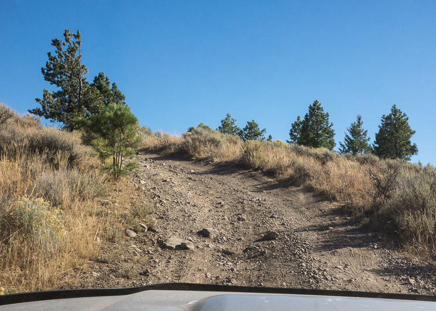
NF-2860 is a poor road that gets progressively worse.
The final ascent is very steep and rocky; it requires 4WD and good ground clearance.
Total driving time from Hwy 395 turnoff to Calamity Lookout took me 32 minutes.
Riddle Mtn, DN03sc04
| 43.100141, -118.497997 |
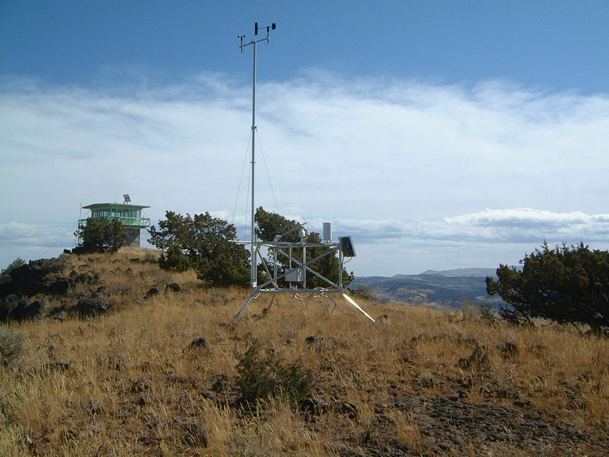
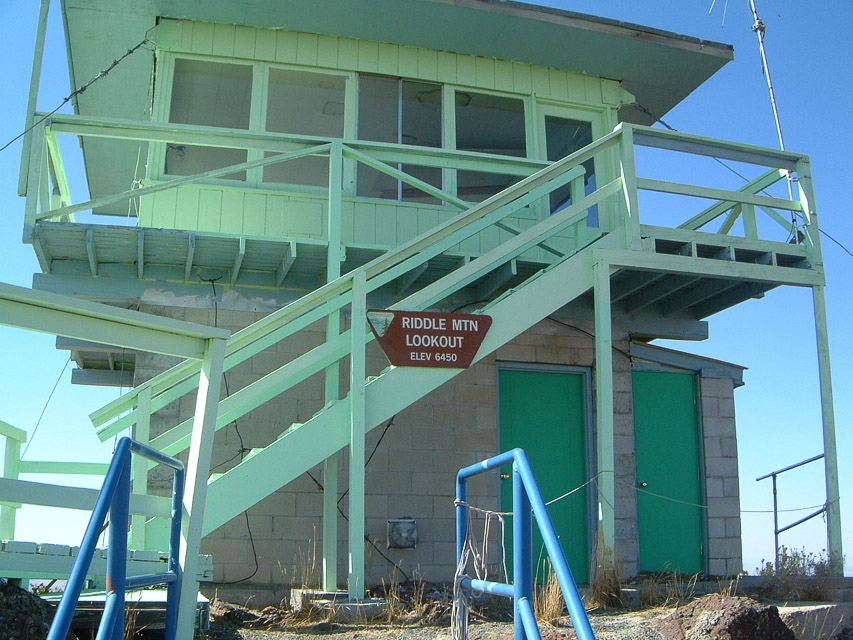
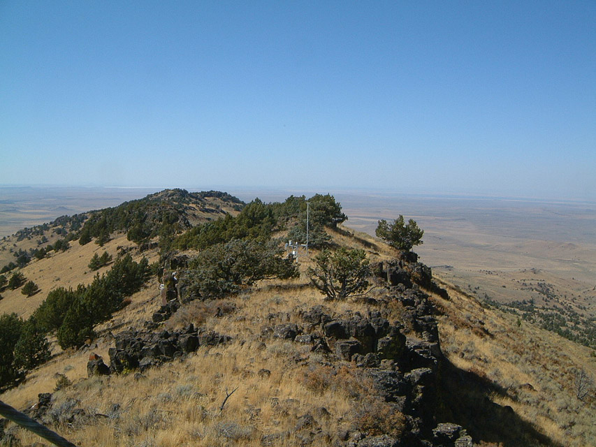
Riddle Mtn is in DN03sc a bit north of Steens Mtn DN02rp. Although upper roads to Steens are not plowed clear until after the June VHF contest, Riddle Mtn doesn't have a snow clearing maintenance issue. Tim AL1VE has worked from there for the June contest as well as some locations in DN02 and DN12 outside of McDermitt, all at about 6400'.
Tim - AL1VE
CN93-DN03 Line, DN03an03
| 43.557000, -120.000000 |
This is a medium rise among the Glass Mountains. It doesn't have the best horizon but it's not bad and it's right on the grid line for two very rare and badly needed grids.
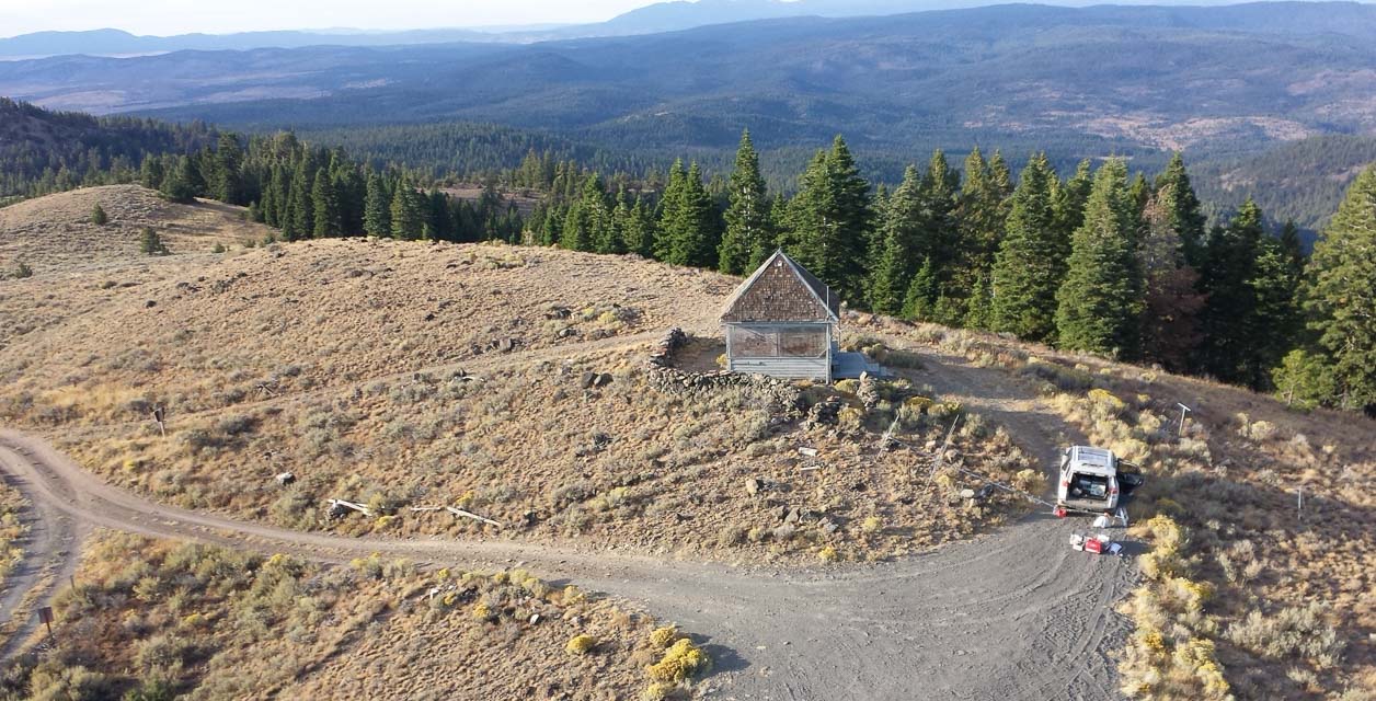
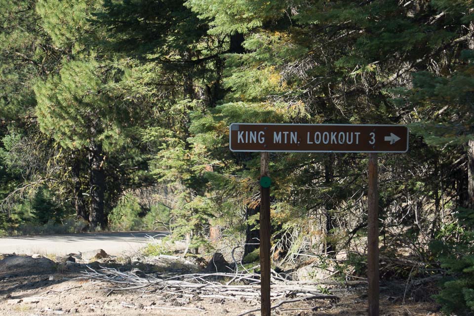
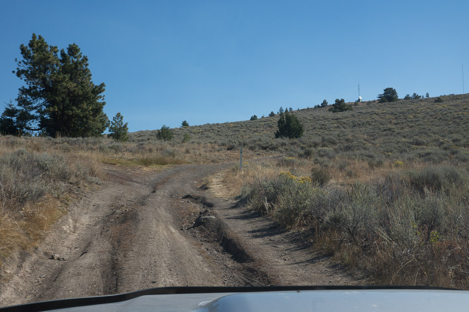
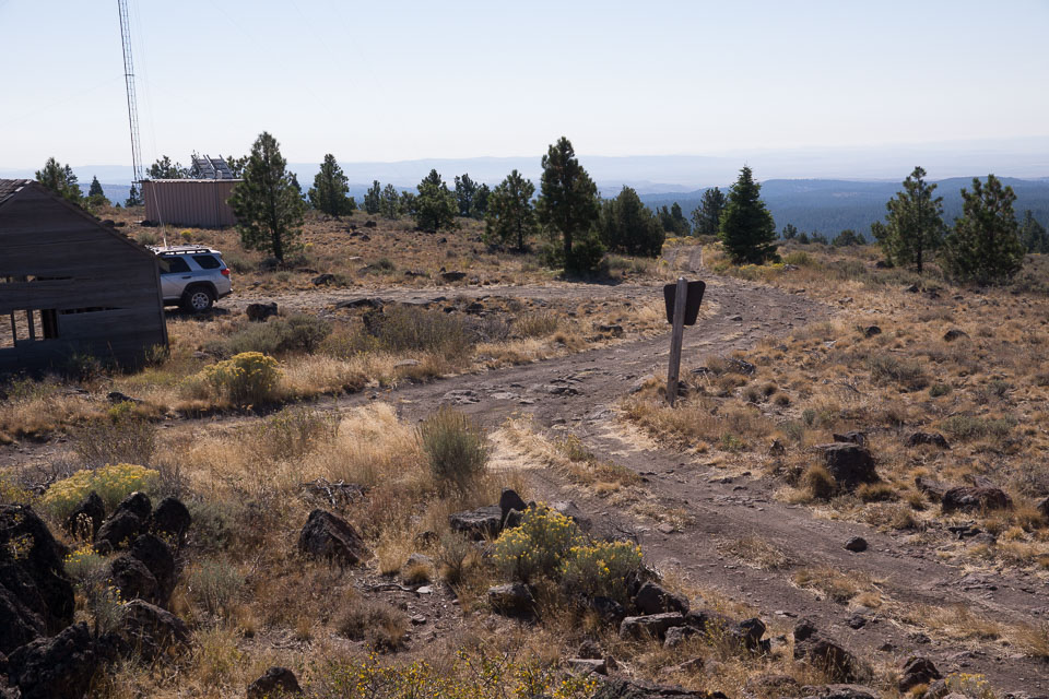
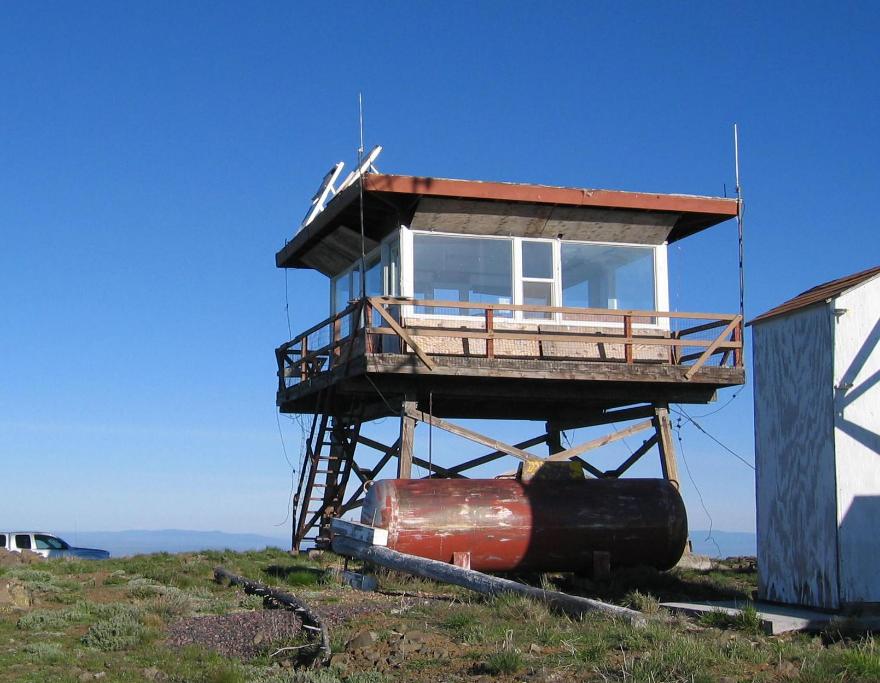
King Mtn Lookout, DN03nt54
| 43.810128, -118.868651 |
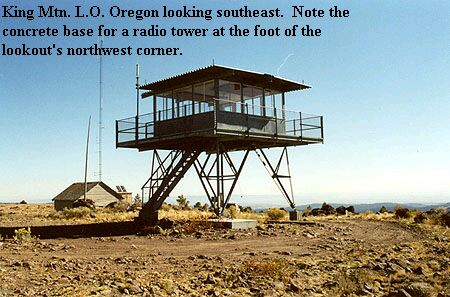
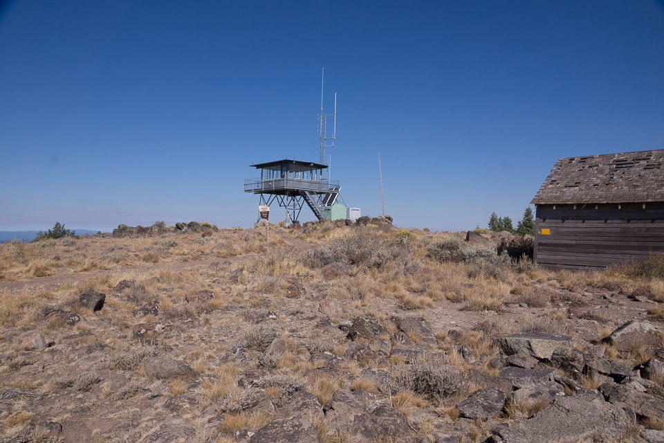
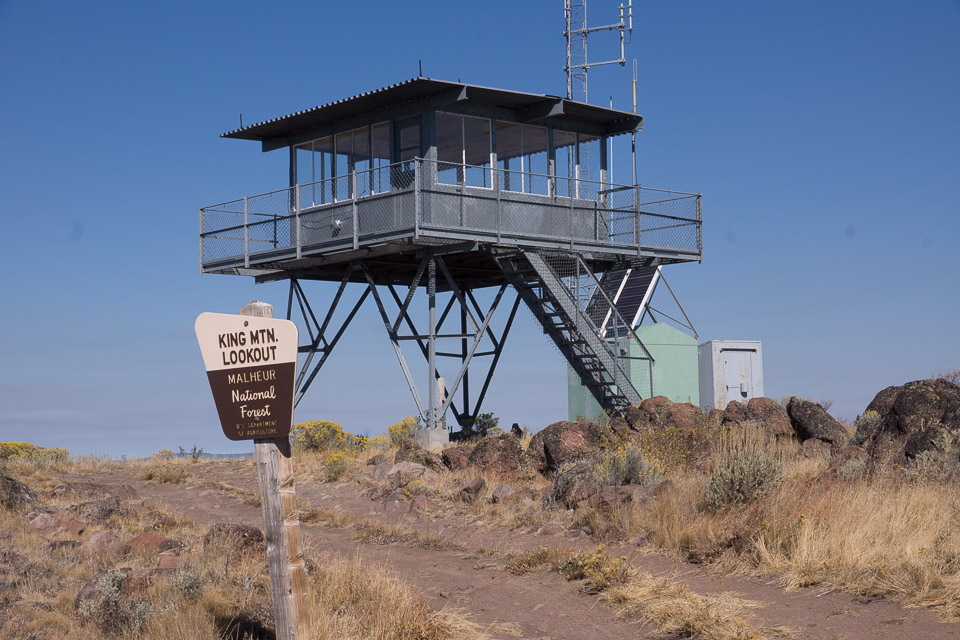
This is a Forest Service Lookout 18 miles NNE of Burns, OR.
This site is about the same elevation as Calamity Butte Lookout which is about 10 miles to the northeast and is staffed. This lookout is not manned, it's a 10' all-steel live-in with a garage nearby. Broad, wide-open summit.
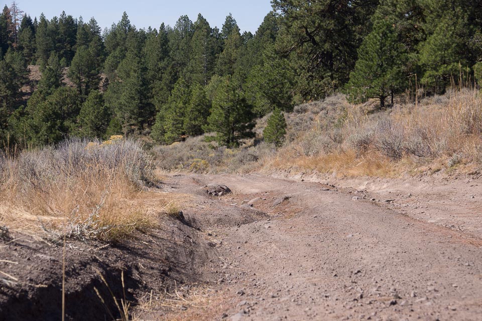
In Sept 2015, the road for the final ascent is in very poor shape with rocks, gullies and very slow going. It took an hour to drive up to King Mtn Lookout, and there's a 2-meter repeater. It would be easier and a better spot at the Calamity Lookout instead.
Driving directions: Some distance from Highway 395.
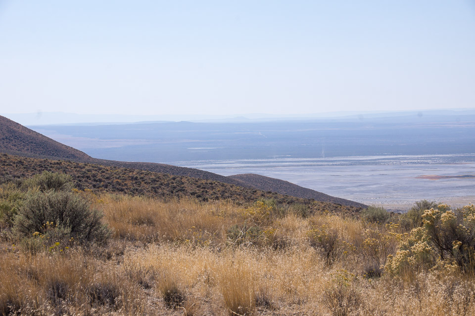
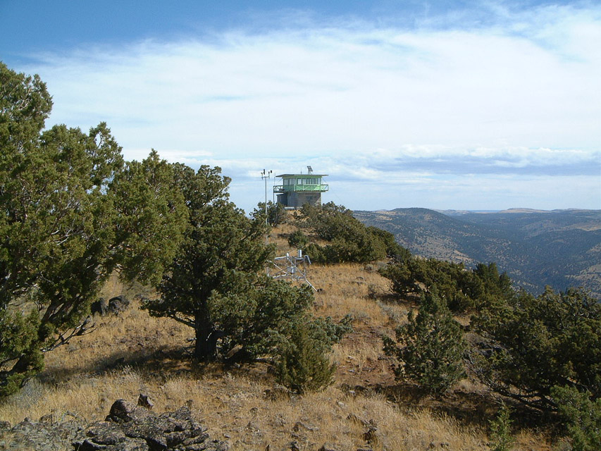
Snow Mtn Lookout, DN03gx02
| 43.970357, -119.496587 |
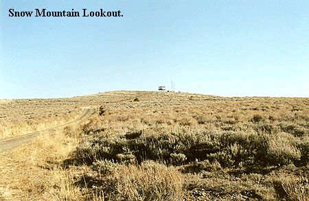
A Forest Service Lookout 35 miles NW of Burns, OR. Broad and open on top. The lookout cabin on top sits on a 10' wooden tower.
It is staffed in the summer, so you might want to check ahead with the Forest Service since the lookout on duty probably won't appreciate company for a whole weekend. There are a couple of VHF repeaters on site.
Driving directions: 35 miles NW of Burns, OR.
- Road is paved a great deal of the way from Burns.
- That which is gravel is kept up really well to the summit.
Upper Dugout Creek, DN03xq69
| 43.704708, -118.029470 |
Thumbtack Resevoir, DN03ax01
| 43.963291, -119.992933 |
Thumbtack Resevoir might be a place to stop on a small plateau in the northeast corner of DN03. If you can get there, it might have easy access to CN93-94 and DN04.
| < Previous | Page 11 of 27 | Next > |
©1998-2026 Barry Hansen