Be careful. DN14 dimensions are 98.6 by 69.2 miles.
Explore this grid in Google Earth or equivalent:
Hover mouse over a map marker for more about the grid and site.
The paved road to Salt Creek continues south as N Pine Road or FR-39 into DN14.
There may be a road going to 5800 feet on the flanks of Little Lookout Mountain in DN14.
But it looks like a long drive on back roads.
Driving directions: From Emmett, head north on Hwy. 52
- Staying northbound on Van Dussen Road from a 4-way intersection where Hwy 52 heads east
- At about 5 miles, turn right (east) on Butte Road
- Road is gravel the rest of the way to the summit
- At about a mile, you'll turn left (north) and skirt around the west side of the butte
- Head up a washboarded ravine, eventually topping out in a saddle
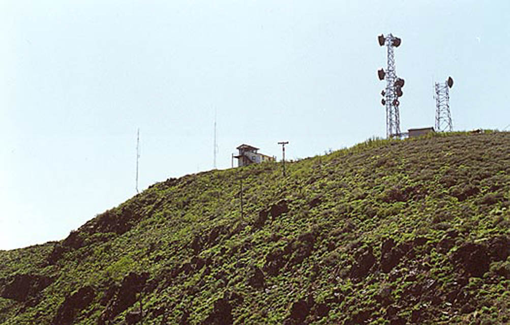
- There are two summits that can be reached from here, both approximately the same elevation about 1/2 mile apart
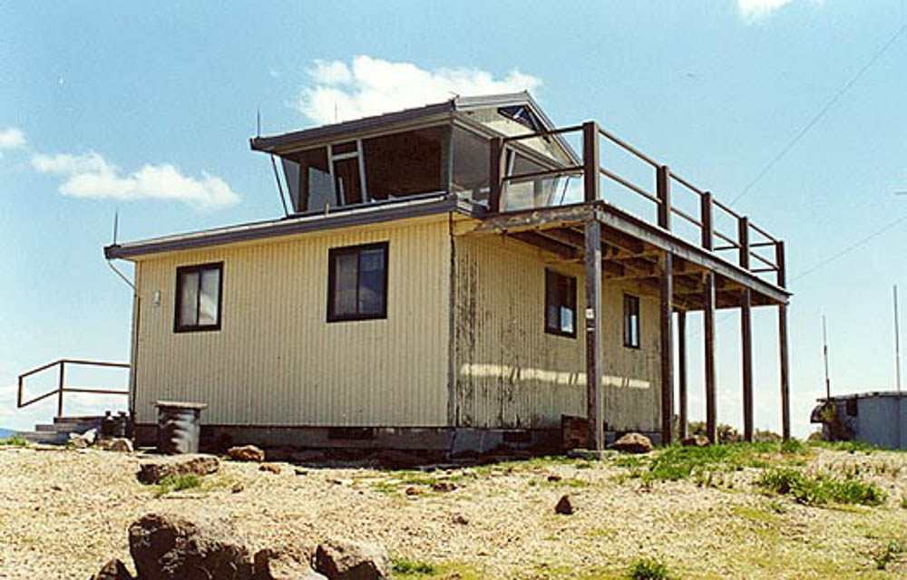
- The more southerly summit is home to a BLM fire lookout station that is staffed in the summer
- Both summits are antenna- and repeater-laden