Rover Location Database
Oregon Rover Locations
- OR Map
- OR List
- Select Grid
- OR from CN85
- DN15 Wallowa
- DN14 Baker City
- DN13 Boise
- DN12 Outback
- DN05 Pendleton
- DN04 John Day
- DN03 Burns
- DN02 Steens
- CN95 The Dalles
- CN94 Bend
- CN93
- CN92 Klamath
- CN86 Centralia
- CN85 Portland
- CN84 Corvallis
- CN83 Roseburg
- CN82 Medford
- CN76 Astoria
- CN75 Lincoln
- CN74 Newport
- CN73 Coos Bay
- CN72 Pt Orford
- Add a Place
Grid Square CN95
12 locations - Maryhill Microwave - Roosevelt - Bonneville Dam - Mt Hood Lodge Rd - Hale Ridge - CN95-DN05 - Oxhead Ridge - Grass Valley Cemetery - Shaniko - CN94-95 Grid Line - Mount Defiance - Holter Road
Potential VHF rover sites in grid CN95.
CN95 dimensions are 96.9 by 69.2 miles.
Explore this grid in Google Earth or equivalent:
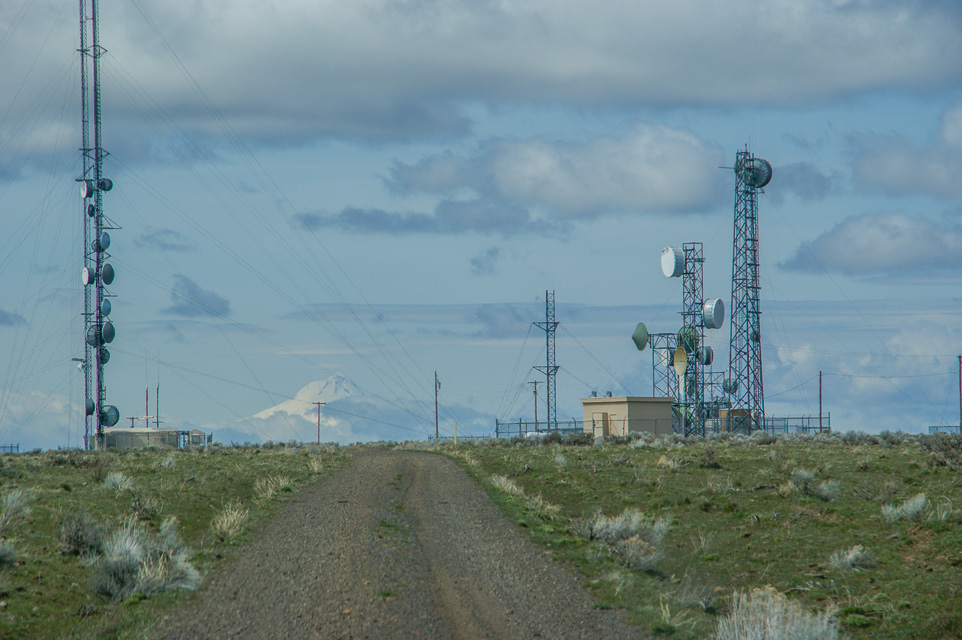
Maryhill Microwave, CN95nq78
| 45.703508, -120.854831 |
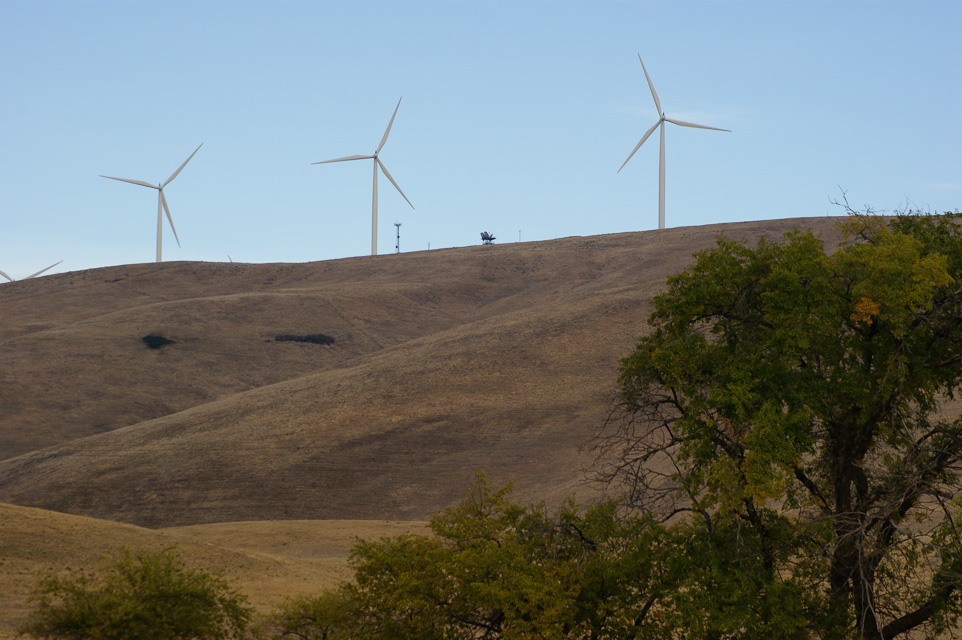
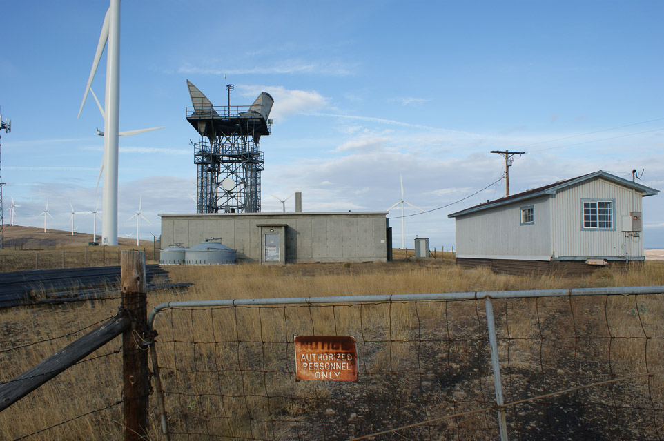
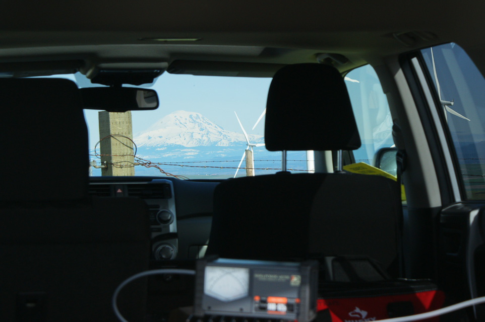
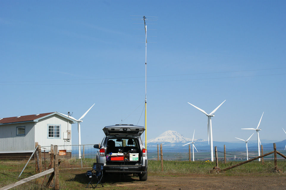
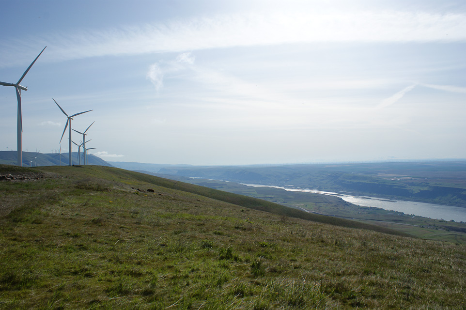
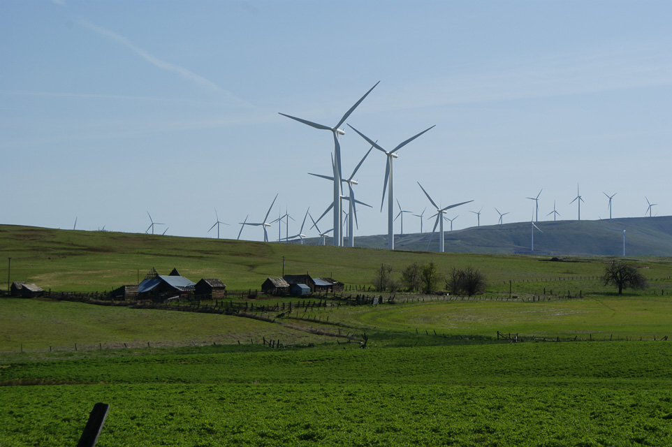
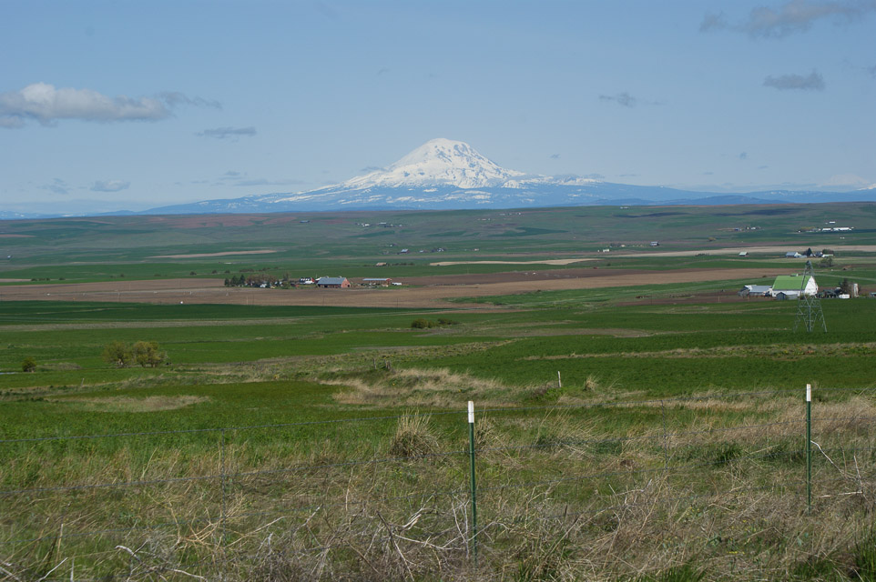
Along Washington's southern border near Goldendale, the bluffs above the Columbia River offer good bare operating locations. One site in particular is a former AT&T microwave site among the Windy Flats (good name) wind farm, high above the crossing between Maryhill and Biggs Junction. This is a prime candidate for activating the WA side of CN95.
A hilltop site directly north of the Biggs Junction Columbia River Bridge on the WA side. It's an old AT&T microwave site on the bluff overlooking the river, with a great view to the south and east.
The facility itself is gated but a convenient parking pull-out is right there. The road has open public access to here but it is signposted "private" immediately beyond. This spot is surrounded by numerous wind generators and a cellphone tower is very close.
Roosevelt, CN95vr47
| 45.738500, -120.212833 |
Very poor radio propagation in all directions.
My hope was to shoot east along the river into the Tri-Cities from the far side of the CN95 - DN05 grid line border. And I was hoping some sort of signal path to Portland could be made, but to no avail. You really need explore the nearby bluffs for altitude and good takeoff angles.
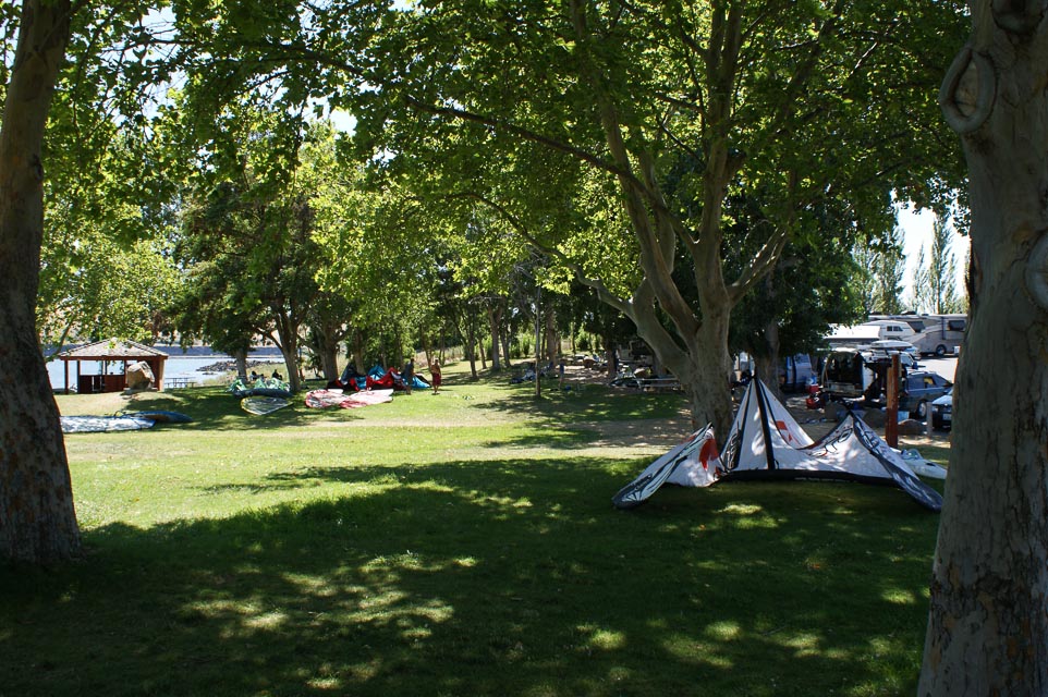
Roosevelt is on the Washington side of the river. There is a lovely green park nearby, a favorite spot for sailboard and kite surfers on the constantly windy river gorge.
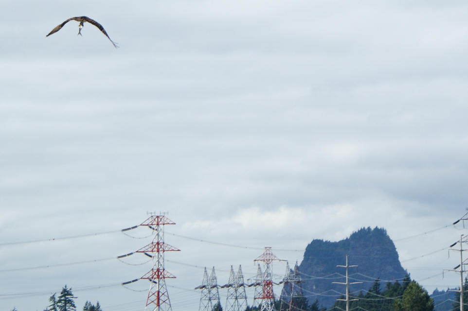
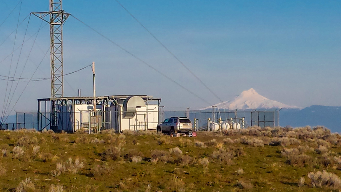
Bonneville Dam, CN95ap76
| 45.651167, -121.939670 |
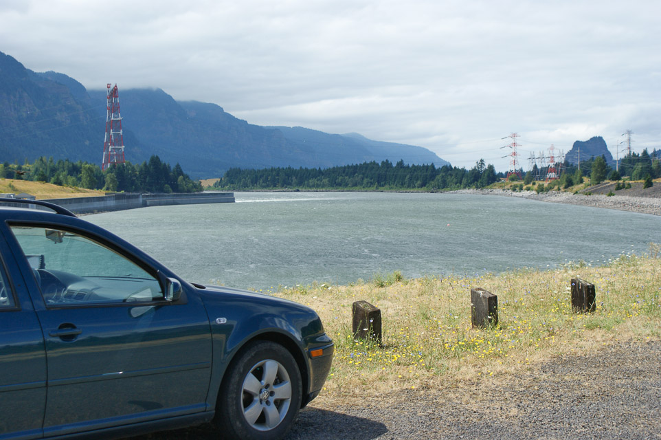
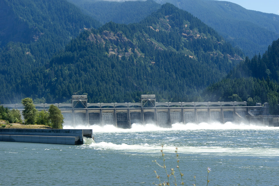
A very scenic location with very poor radio propagation and considerable noise from power lines.
This location is at the CN85 - CN95 grid line. I hoped to reach Portland using the Columbia River gorge valley, but no contacts were made.
However, the consolation prize is to watch osprey and turkey vultures fishing for salmon in the outflow. This is an incredible spot for bird watching.
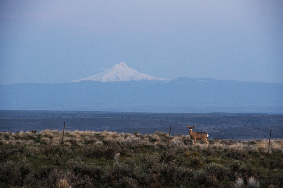
Mt Hood Lodge Rd, CN95dh46
| 45.319161, -121.710080 |
This road goes up to the Lodge at the base of the mountain. There are pull outs along this paved road and parking on top by the lodge. The horizon is open and great to the E- W- S but tough going N through Mt Hood which rises to 11,260'.
Hale Ridge, CN95xg93
| 45.265493, -120.000020 |
Here's another spot on the CN95-DN05 grid line with an open horizon. Scouting is needed.
CN95-DN05, CN95xb99
| 45.081669, -120.000020 |
This is a remote spot on the CN95-DN05 grid line with some altitude and open horizon with no trees. Scouting is needed.
Oxhead Ridge, CN95xa94
| 45.017044, -120.000155 |
Oxhead Ridge is right on the CN95-DN05 grid line with good altitude and open horizon to the W-N-E. Some scouting is needed to see if you can drive a few hundred yards south to the highest point at 4800' for the completely open horizon.
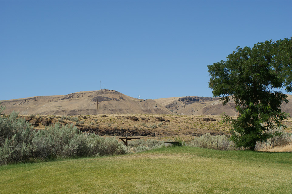
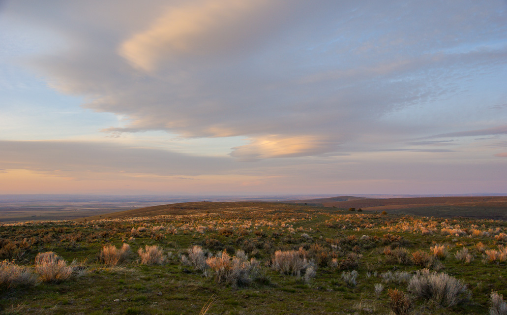
Grass Valley Cemetery, CN95oj41
| 45.380880, -120.792410 |
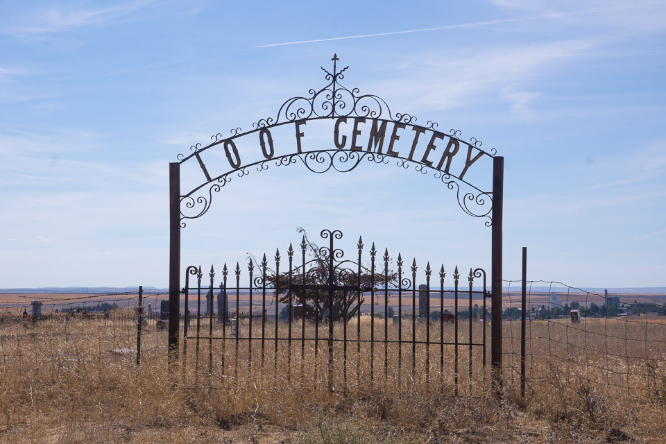
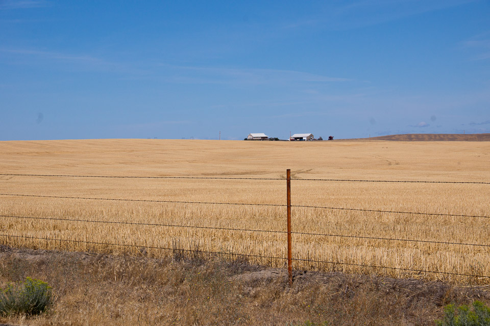
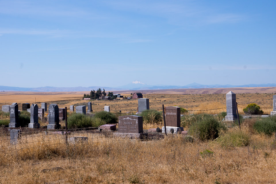
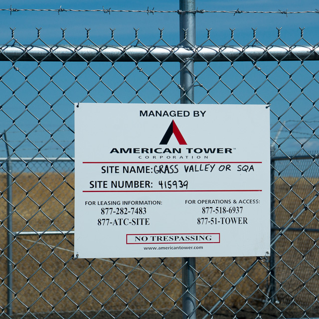
Grass Valley Cemetery is not in a valley at all. This is a high point with quick access from Hwy 97. It's south of Goldendale and north of Madras and Bend, OR.
Shaniko, CN95na96
| 45.025860, -120.837020 |
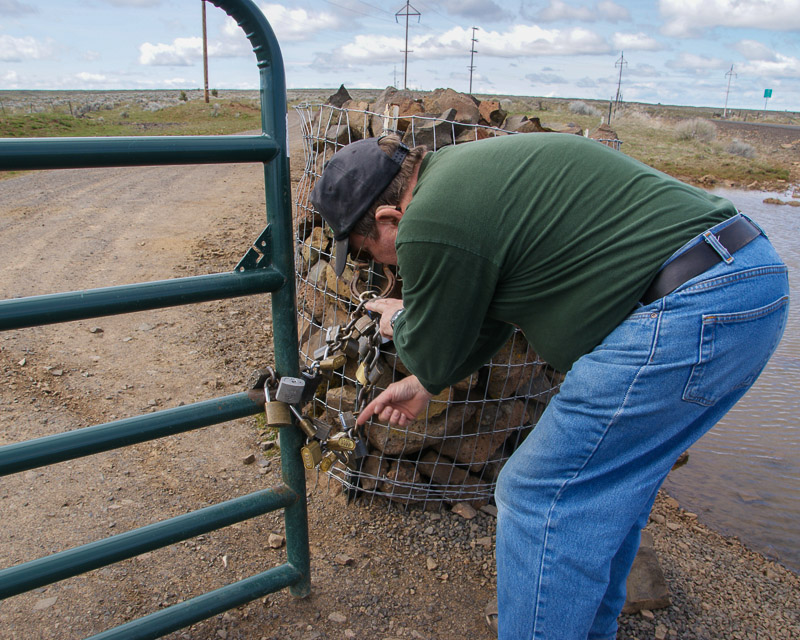
Hwy 97 passes through the city of Shaniko, a local high point for many miles around. The views are stupendous. This is a great place to pull off and find a place to operate. Rod WE7X and I visited the radio compound and got excellent signals into Portland and Seattle. This is gated so you do need to know someone to get in; however there is lots of open range around too.
Driving directions: Take Hwy 97. Find a spot somewhere south of Shaniko.
Restrictions: The radio complex is gated.
CN94-95 Grid Line, CN95oa20
| 45.000020, -120.813721 |
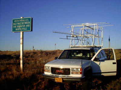
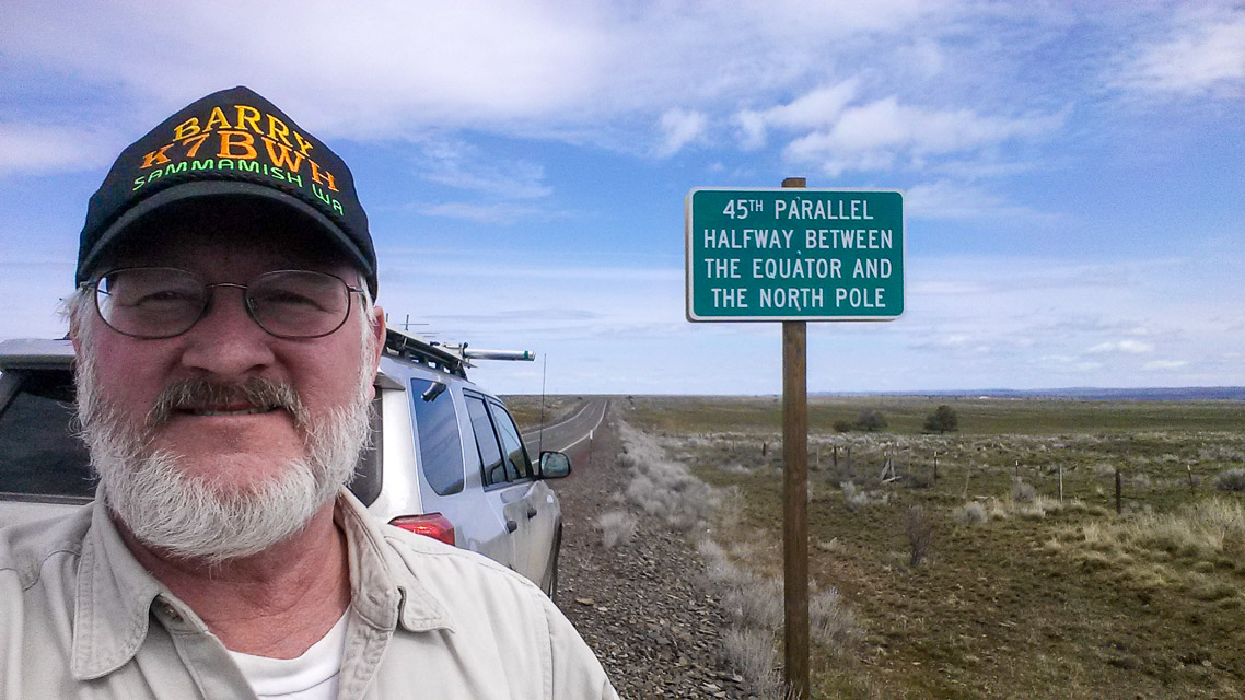
Take hwy 97 until you see the 45th parallel sign NE of Shaniko Junction. There is plenty of room to pull off the road. This is a good park and sleep location there is nothing around but buzzards and truckers.
Note that Hwy 97 does not run north and south here so watch the GPS for accuracy.
Mount Defiance, CN95dp35
| 45.648500, -121.722600 |
There are radio towers at this location including the Mount Defiance ham repeater.
Driving directions: Allow one hour or more from I-84 turnoff.
I tried a route past the Hood River Golf Course and then up Binns Hill Rd but failed.
The following directions from Bing maps are untested but try this:
- From I-84 along the Columbia River, take exit 64.
- Turn south onto US-30 / OR_35 / White Salmon Hwy
- 6.4 mi, bear right onto OR-282 / Davis Dr
- 1.2 mi, bear right, and then bear right onto OR-282 / Odell Hwy
- 0.4 mi, turn left onto Summit Dr
- 2.0 mi, keep straight onto OR-281 / Dee Hwy
- 4.1 mi, keep straight onto Lost Lake Rd
- 0.2 mi, bear right onto Punchbowl Rd
- 1.5 mi, keep left onto unpaved Dead Point Rd / NF-2820
- 2.8 mi, turn right to stay on Dead Point Rd / NF-2820
- 4.9 mi, turn right onto NF-2821
- 1.8 mi, keep left to stay on NF-2821
- 0.8 mi, bear left onto unpaved road
- 0.7 mi, arrive at Mount Defiance, OR
- If you reach NF-2820 again you've gone too far
Holter Road, CN95qu85
| 45.856076, -120.593403 |
Don't go.
In the 2010s, this was run by Doug K7EVI but succumbed to cancer in 2018. The property is now owned by a non-ham. We have no contact information.
Mountains are Simcoes to the north, Cascades 70 miles west, Goodnoe hills 7 miles south, but the distances provide good take-off angles in all directions. Unobstructed view of the Clark Belt from horizon to horizon.
This is area is remote and off-grid and is radio quiet. Somewhere around here (but not this spot) would be a great location for HF and VHF contests.
Driving directions: Recommended route is Bickleton Highway to Old Mountain Road to Holter Road.
Badger Gulch Road is okay but it destroys tires.
Box Canyon Road is impassable. Don't let your GPS take you to Box Canyon Rd.
Restrictions: Closed. As of 2024, it's no longer owned by a ham.
| < Previous | Page 13 of 27 | Next > |
©1998-2026 Barry Hansen