Rover Location Database
Oregon Rover Locations
- OR Map
- OR List
- Select Grid
- OR from CN85
- DN15 Wallowa
- DN14 Baker City
- DN13 Boise
- DN12 Outback
- DN05 Pendleton
- DN04 John Day
- DN03 Burns
- DN02 Steens
- CN95 The Dalles
- CN94 Bend
- CN93
- CN92 Klamath
- CN86 Centralia
- CN85 Portland
- CN84 Corvallis
- CN83 Roseburg
- CN82 Medford
- CN76 Astoria
- CN75 Lincoln
- CN74 Newport
- CN73 Coos Bay
- CN72 Pt Orford
- Add a Place
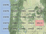
Grid Square DN13
12 locations - Cow Lakes - Iron Mtn Rd - Upper Dam West - Thomas Creek Ridge - Purser Ridge - Juniper Ridge - Sand Hills - Poison Springs Bluff - War Eagle Mtn - Blacks Creek Rest Area - Windy Point - Hawley Mtn
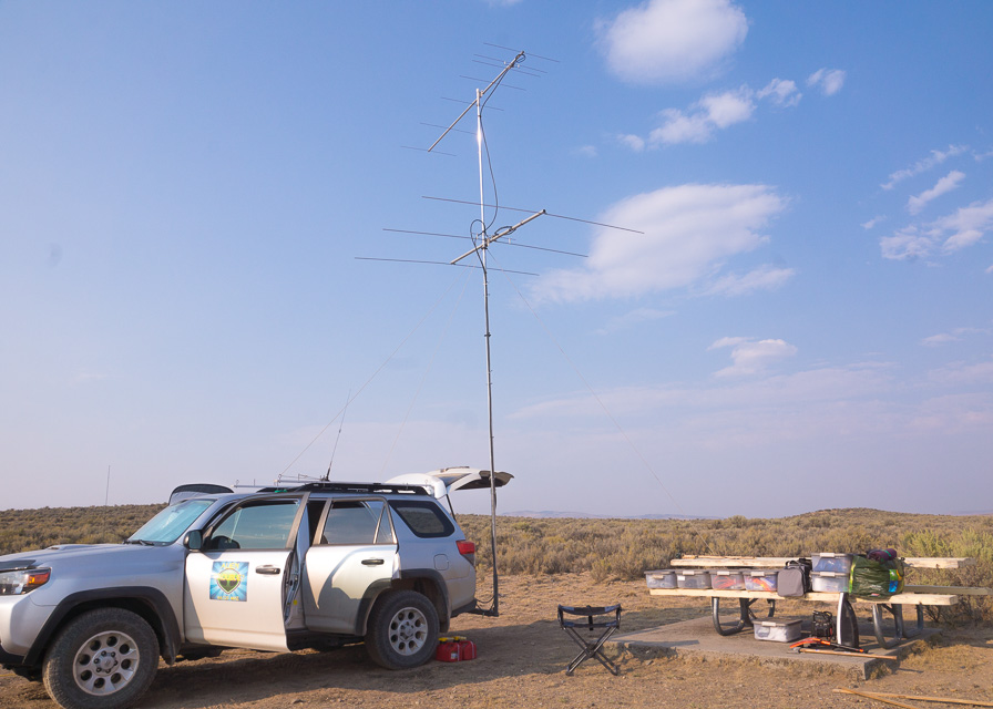
Potential VHF rover sites in grid DN13.
DN13 dimensions are 100.3 by 69.2 miles.
Explore this grid in Google Earth or equivalent:
Cow Lakes, DN13ic03
| 43.096440, -117.328270 |

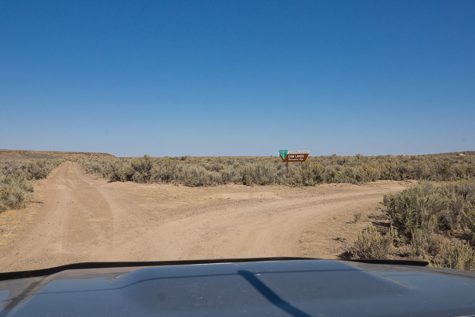
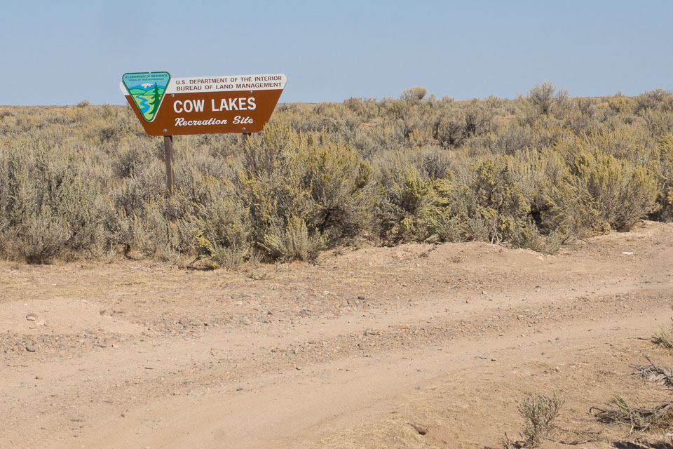
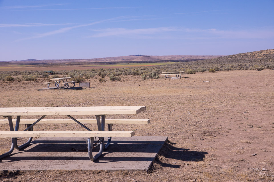
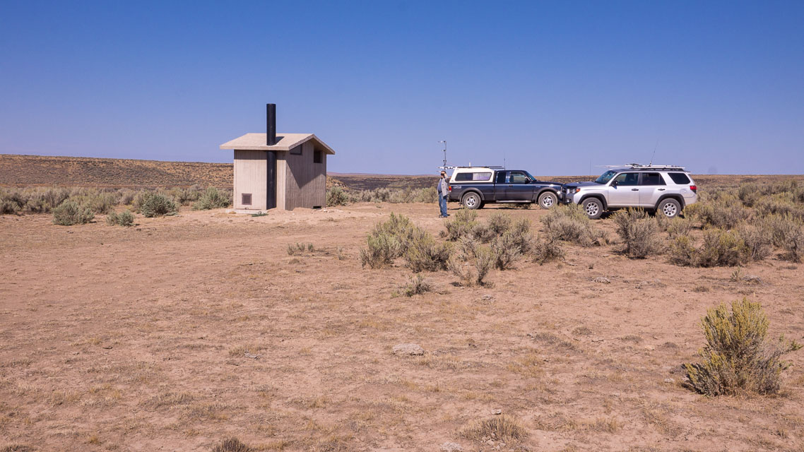
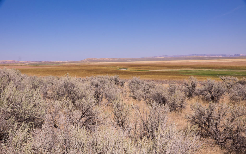

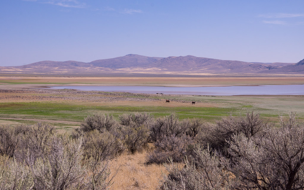

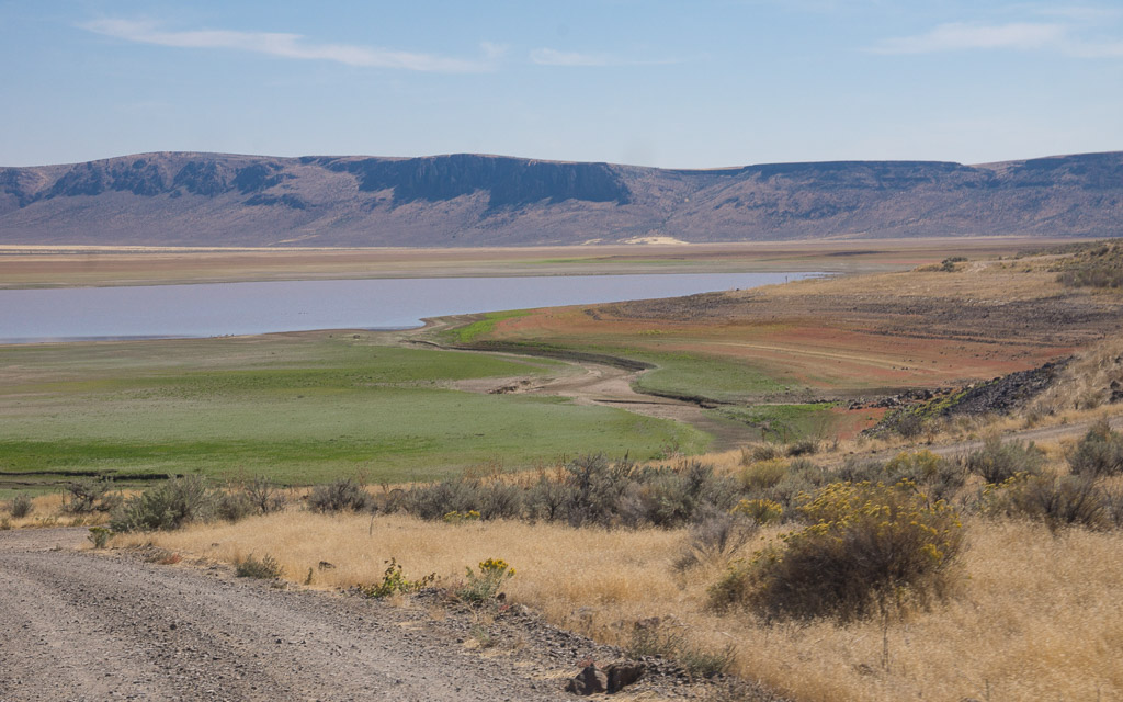

Cow Lakes is a nice BLM campground with a little elevation that is an easy 20-minute drive from DN12 to the south, and not far from the DN02-03-02-13 grid corner. This is a beautiful oasis in the desert but, as with most lakes, it's not a really high point. There are lots of birds and wildlife and fish and a rough boat ramp at this good-sized lake. The Lower Cow Lake was dry when we visited in Sept 2015.
Restrictions: No water.
Iron Mtn Rd, DN13aa00
| 43.003588, -117.996326 |
A dirt road, practically on the grid corner.
Upper Dam West, DN13qn04
| 43.561911, -116.662711 |
Deer Flat on Lake Lowell has a boat launch and fishing pier, where a large parking lot for the Upper Dam Rec Area provides an open horizon and toilet. At the time of writing (Aug 2025), Google Street View shows a POTA operator with a vertical antenna. Nearby is the Lower Dam recreation area with another big parking lot and restroom.
Thomas Creek Ridge, DN13ld15
| 43.149878, -117.069030 |

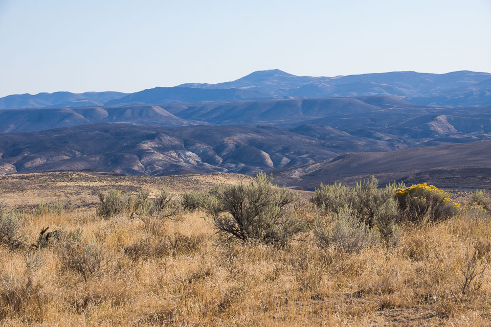
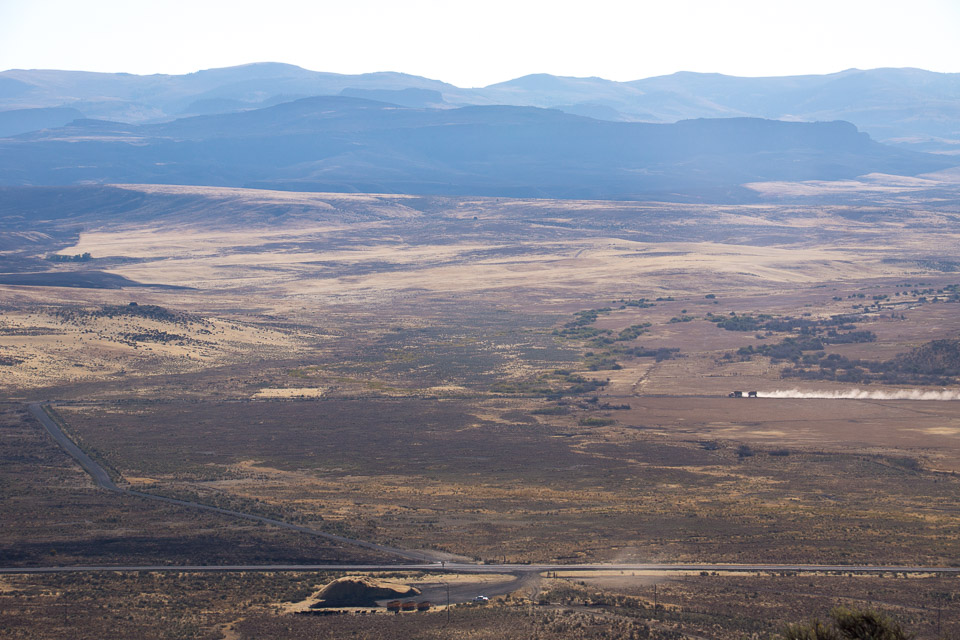
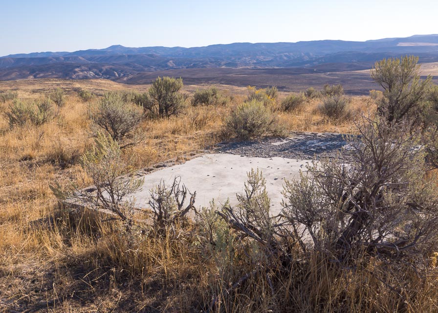
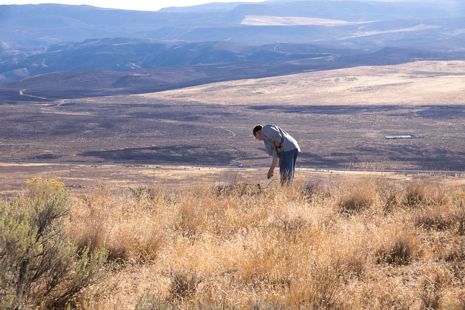

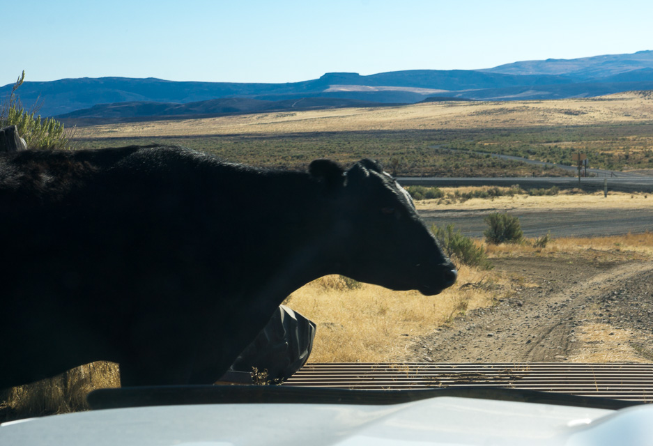
Thomas Creek Ridge is just a few miles north of Jordan Valley and offers an excellent view in all directions. There's a concrete base leftover from some small previous communications building, and we found some of the original guy wire anchors. Just like the sign says, "Caution: Cattle Guards."
Driving directions: Go north from Jordan Valley, OR. Turn left into the gravel pit and turn left again onto the first dirt road leading up into the hills.
Purser Ridge, DN13lc74
| 43.102933, -117.017360 |
Juniper Ridge, DN13il51
| 43.463493, -117.286272 |
Sand Hills, DN13gk79
| 43.455438, -117.435168 |
Poison Springs Bluff, DN13hr23
| 43.722099, -117.395599 |
This is identified as SOTA peak W7O/SE-179, an unnamed ridge above Poison Springs in Eastern Oregon, and there appears to be a visible track to the top.
As of Oct 2014, it has not been activated for SOTA.
War Eagle Mtn, DN13pa51
| 43.006356, -116.704433 |
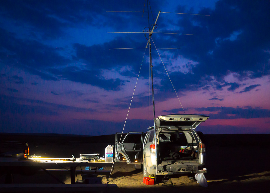
8000 feet and a drive-up site, with a 2M and 440 ham repeater (callsign W7VOI) ... and a 1KW FM transmitter. - Rod WE7X
Blacks Creek Rest Area, DN13wl74
| 43.478511, -116.106761 |
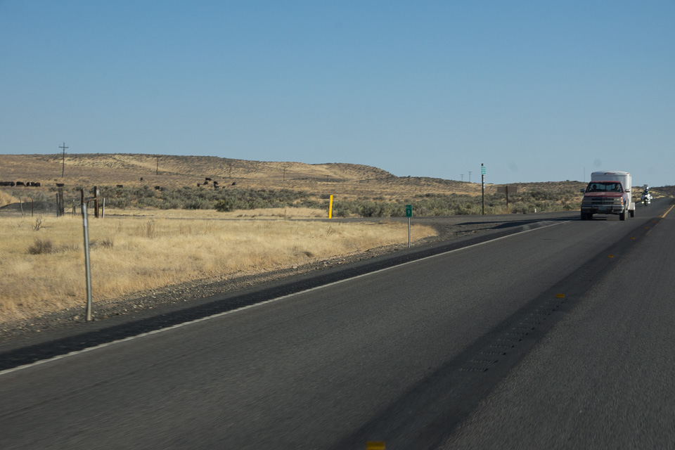
Blacks Creek Rest Area is a quick pull-off from I-84 about ten minutes south of Boise in a large flat plain. There are separate areas for eastbound and westbound traffic. There's a nice "Oregon Trail" display in the parking area.
Driving directions: I-84 exit 64.
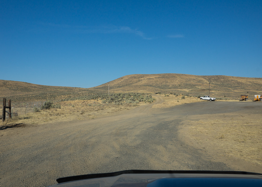
Windy Point, DN13nk41
| 43.424020, -116.881875 |
Satellite view shows dirt road across gently rounded hilltops.
Hawley Mtn, DN13xx68
| 43.992696, -116.030994 |
Hawley Mtn is in the NE corner of DN13 grid square, with good prospects of driving to DN14-DN23-DN24. There is a lookout tower that is no longer in use.
More info on IdahoClimbingGuide.com and IdahoSummits.com
| < Previous | Page 7 of 27 | Next > |
©1998-2026 Barry Hansen