Rover Location Database
Oregon Rover Locations
- OR Map
- OR List
- Select Grid
- OR from CN85
- DN15 Wallowa
- DN14 Baker City
- DN13 Boise
- DN12 Outback
- DN05 Pendleton
- DN04 John Day
- DN03 Burns
- DN02 Steens
- CN95 The Dalles
- CN94 Bend
- CN93
- CN92 Klamath
- CN86 Centralia
- CN85 Portland
- CN84 Corvallis
- CN83 Roseburg
- CN82 Medford
- CN76 Astoria
- CN75 Lincoln
- CN74 Newport
- CN73 Coos Bay
- CN72 Pt Orford
- Add a Place
Grid Square DN15
20 locations - Akers Butte - Sled Springs - Weigh Station - Roberts Butte - Bone Springs - North Powder PR - Salt Creek Sno-Park - Flagstaff Butte - Haskin Butte - Sheep Rock - Kuhn Ridge - Table Mtn - Deadhorse Butte - Cactus Mtn - Grassy Knoll - Hat Point - Sacajawea Spring Camp - Harl Butte - Miller Butte - Cold Springs
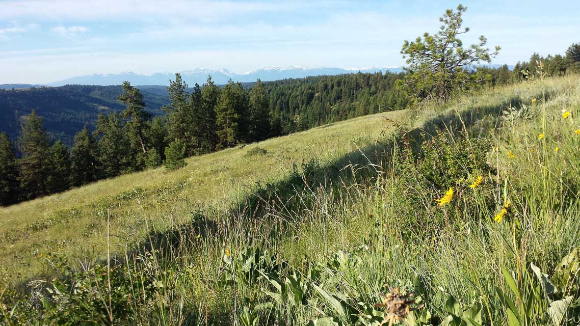
Potential VHF rover sites in grid DN15.
DN15 dimensions are 96.9 by 69.2 miles.
Explore this grid in Google Earth or equivalent:
Akers Butte, DN15fr11
| 45.714267, -117.572264 |
Sled Springs, DN15ir85
| 45.730240, -117.265277 |

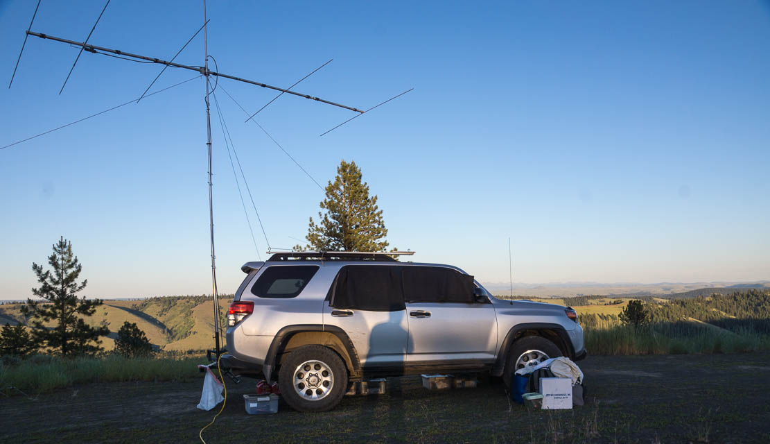

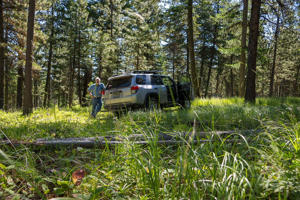
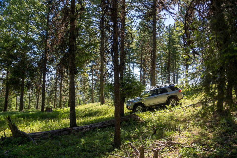
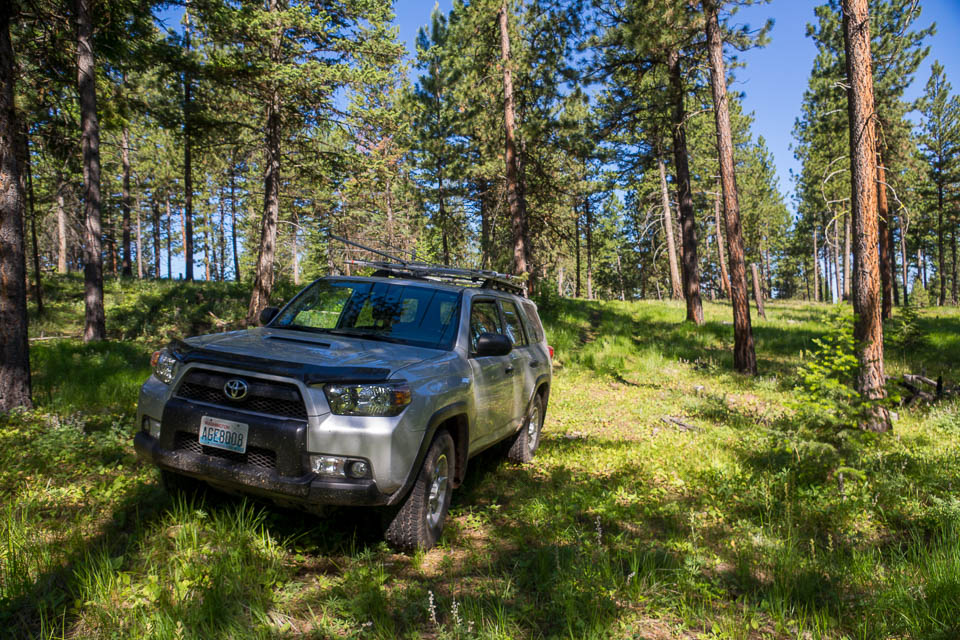
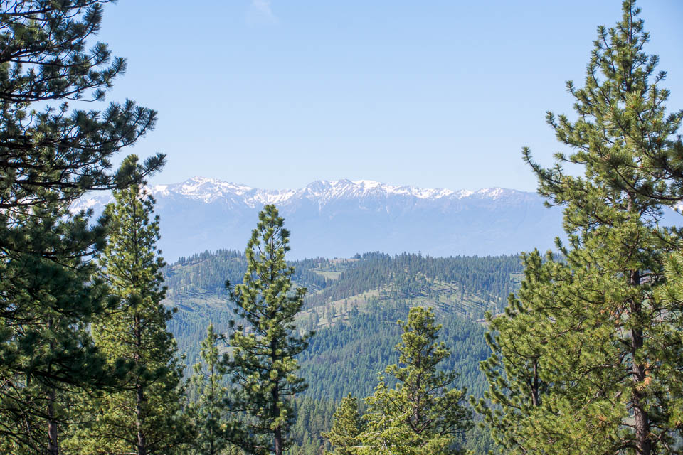
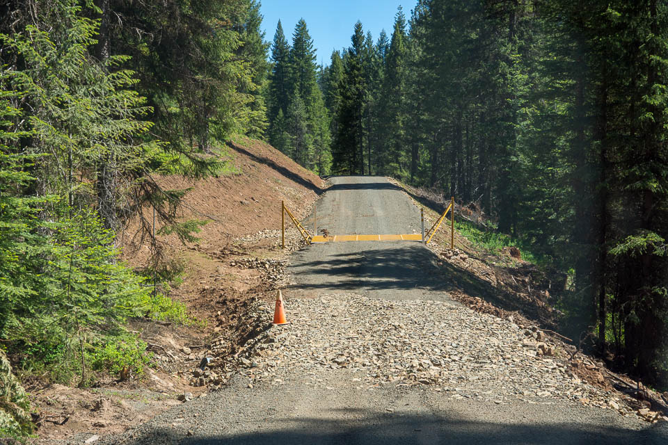
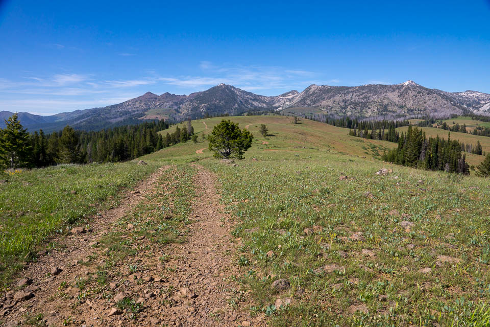
An easy stop along the Enterprise - Lewiston Hwy 3. The drive north from Sled Springs is a beautiful trip through mountains on good roads. One of my favorite VHF rover locations in the state of Oregon.
This is a large flat clearing only short distance (half mile?) off the main highway, which runs for several miles along this ridge. There’s probably several other similar good campsites out there if this one is crowded.
Also note that 7.5 miles north is Joseph Canyon Viewpoint (45.83499, -117.263867) with parking and a vault toilet.
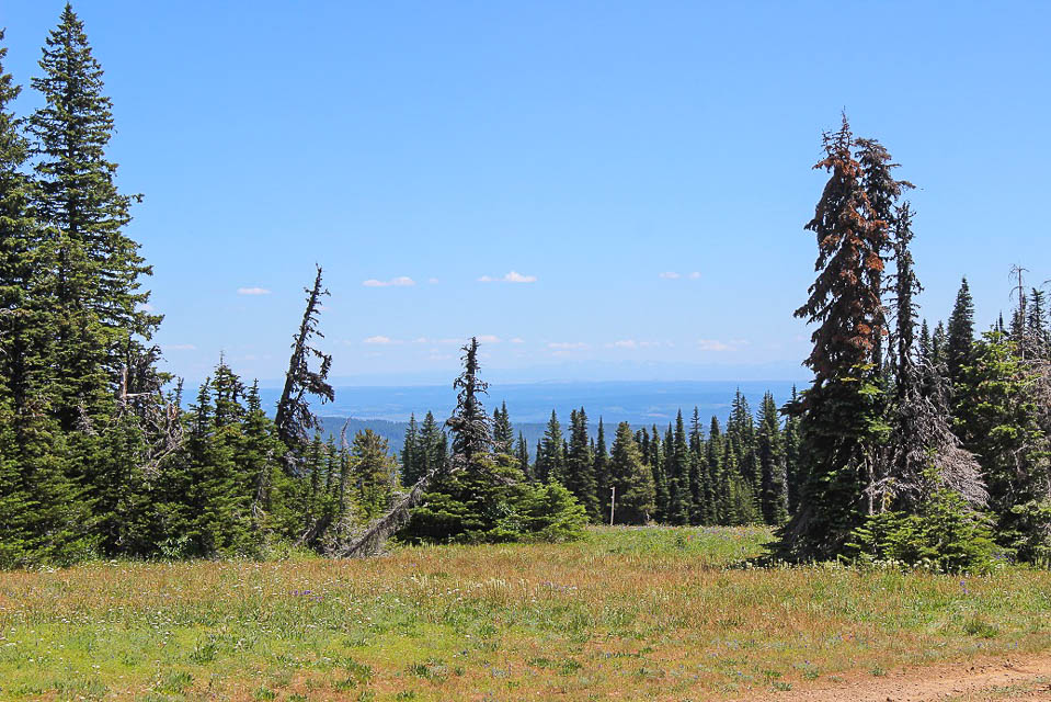
You can park on the edge of a giant drop off for good low-angle take off in N-E-S directions, and no major hills to the West. If you move away from the vehicle using a HT, and make four contacts, you can count two points for Summits on the Air! It may not be high enough for you, but it is very accessable with lots of room for camping, antennas, all sorts of things.
SOTA info: W7O/NE-240 - 4940, 1506m / 4941ft, 2 SOTA points
Driving directions: Take Lewiston - Enterprise Hwy 3.
Look for unmarked turnoff at 45.73653, -117.273069 to the east
Follow winding unpaved road through sparse forest about 1/2 mile
Weigh Station, DN15iq60
| 45.670020, -117.276810 |
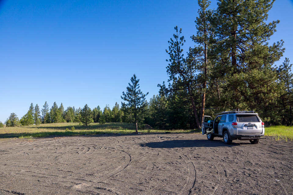
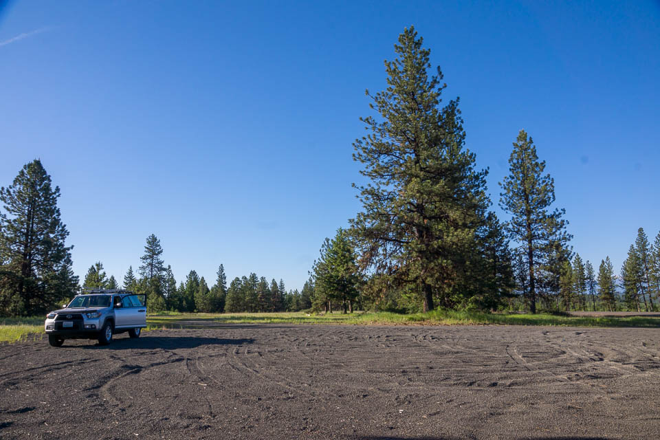
"Weigh Station" is a quick open gravel pull-off from the Enterprise-Lewiston Hwy 3, so named from the signposts. However, no equipment of any sort seen when I travelled through in 2015.
This is one of many possible places to operate (or to duck into the national forest to a nearby drop-off) along Hwy 3, which runs for several miles along the top of a ridge.
Roberts Butte, DN15jp43
| 45.641200, -117.209890 |

Roberts Butte seemed like a good spot on paper, but I ran out of trail long before I reached good operating spot.
Bone Springs, DN15av60
| 45.877625, -117.946697 |


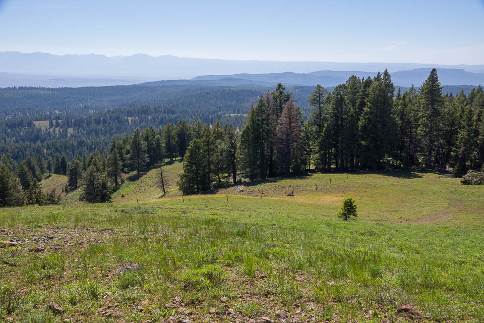
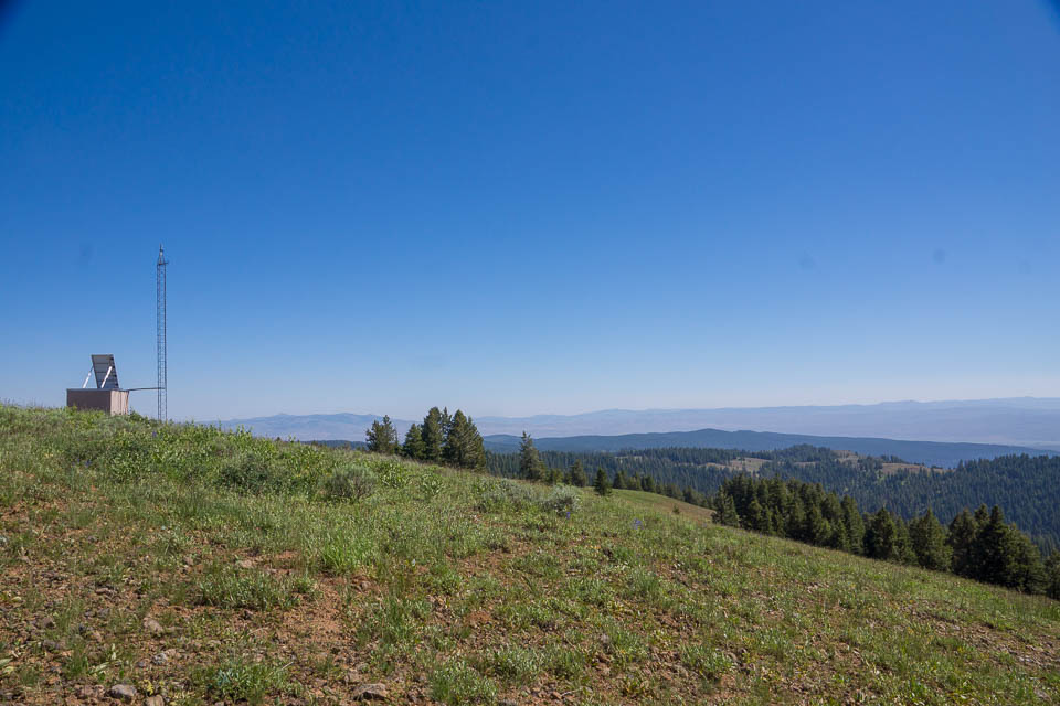
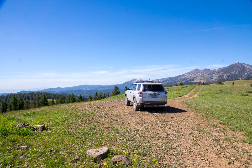
At 5880', Bone Springs was home to a fire lookout tower until the 1980s. On a (rare) clear day Hood, Adams, and Rainier are visible. Western Oregon and Western Washington can be worked from here. The Seven Devils in Idaho can also be seen toward the east. The Boise area seemed to be difficult to reach, likely due to the Eagle Cap Range blocking to the southeast. Cell coverage is okay.
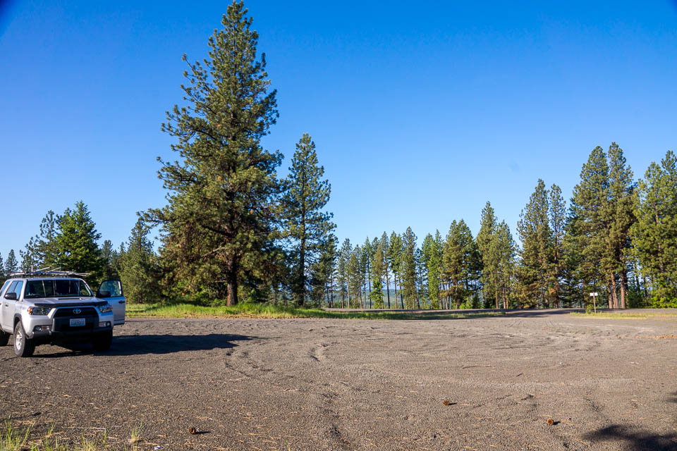
Driving directions: The site can be reached from the north or south, but the best approach is from the south via FSR 64 from Tollgate, passing by Jubilee Lake. The last 3/4 mile of road is heavily rutted in places and snowdrifts can linger on this section well into June. Once you reach the top via a short spur road, you'll find a large flat summit with plenty of parking.
North Powder PR, DN15aa85
| 45.023659, -117.927913 |
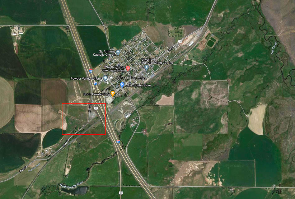
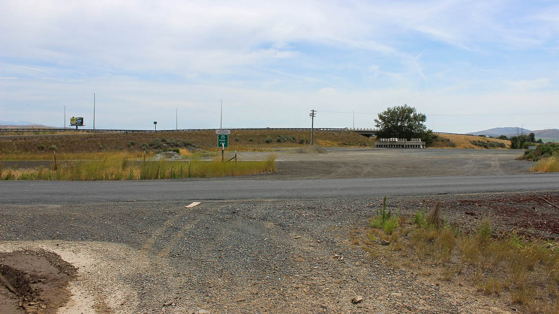

North Powder Park & Ride is a quick off/on at I-84 Exit 285 sometimes used by truck drivers as a rest spot. The Park & Ride is a large, flat gravel parking lot with a good horizon in all directions. It's a great spot to quickly set up and activate DN15 on your way along the Interstate highway. Being this is rural Eastern Oregon there aren't many VHF locals to work. Cell coverage is excellent.
Salt Creek Sno-Park, DN15lf10
| 45.208715, -117.072399 |
Flagstaff Butte, DN15fb79
| 45.079870, -117.517080 |

I tried unsuccessfully to find a good high point and ended up at Flagstaff Butte, a difficult-to-reach ledge high up on the mountain. This was a long slow trip with 4wd to get there. The horizon is blocked by more mountain to the NW, N, E, SE.
More scouting is needed.
Haskin Butte, DN15lq17
| 45.696260, -117.069600 |
Sheep Rock, DN15jp70
| 45.627676, -117.186053 |
Kuhn Ridge, DN15ht05
| 45.813178, -117.409270 |
Table Mtn, DN15ju54
| 45.853124, -117.206250 |
Deadhorse Butte, DN15nt54
| 45.811420, -116.874150 |
Cactus Mtn, DN15pt12
| 45.801840, -116.738460 |
Grassy Knoll, DN15qn52
| 45.550190, -116.617840 |
Hat Point, DN15qk04
| 45.436970, -116.661600 |
Sacajawea Spring Camp, DN15qk06
| 45.442840, -116.664390 |
Harl Butte, DN15nh48
| 45.328220, -116.877010 |
Miller Butte, DN15me18
| 45.204110, -116.988780 |
Cold Springs, DN15sm61
| 45.505333, -116.449695 |
Located NW of Riggins, Idaho.
Access is via the Cattle Creek Road off US 95 at Lucile, Idaho. It has a clear take off in all directions except the south where the Seven Devils Mountains about 15 miles away peak up over 9000'.
| < Previous | Page 5 of 27 | Next > |
©1998-2026 Barry Hansen