Rover Location Database
Oregon Rover Locations
- OR Map
- OR List
- Select Grid
- OR from CN85
- DN15 Wallowa
- DN14 Baker City
- DN13 Boise
- DN12 Outback
- DN05 Pendleton
- DN04 John Day
- DN03 Burns
- DN02 Steens
- CN95 The Dalles
- CN94 Bend
- CN93
- CN92 Klamath
- CN86 Centralia
- CN85 Portland
- CN84 Corvallis
- CN83 Roseburg
- CN82 Medford
- CN76 Astoria
- CN75 Lincoln
- CN74 Newport
- CN73 Coos Bay
- CN72 Pt Orford
- Add a Place
Grid Square CN92
7 locations - Agency Hill - Upper Klamath Ridge - Stukel Mtn - Hamaker Mtn - Light Peak - Drake Peak Lookout - Hagelstein Mountain
Potential VHF rover sites in grid CN92.
CN92 dimensions are 101.9 by 69.2 miles.
Explore this grid in Google Earth or equivalent:
Agency Hill, CN92ap73
| 42.639490, -121.935910 |
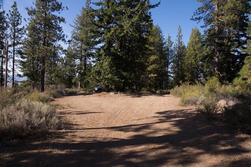
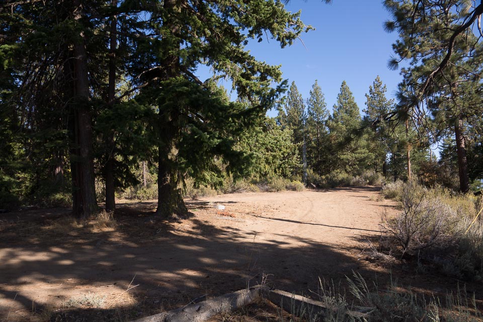

Agency Hill once hosted a lookout tower, which has long since been cleaned off. This ridge boasts an excellent view in all directions. However, there are cellphone and repeater transmitters up here, too. It is not far from CN82 to the west.
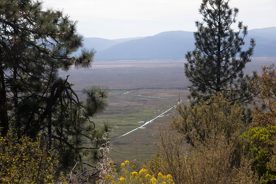
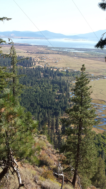
Upper Klamath Ridge, CN92cj24
| 42.395382, -121.809434 |
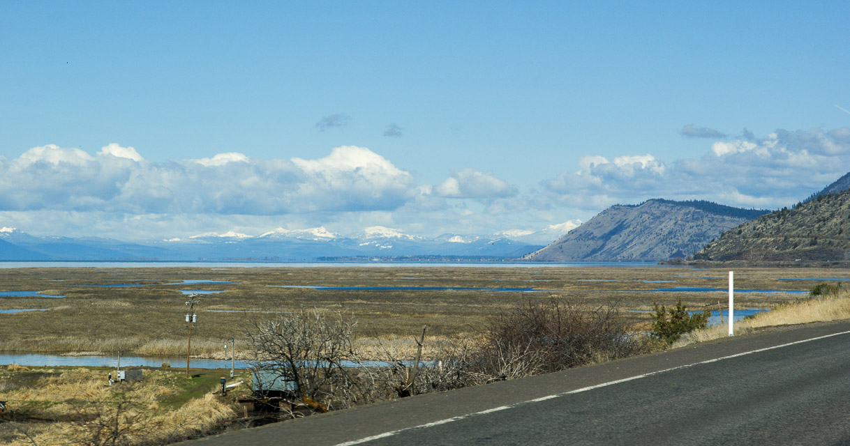
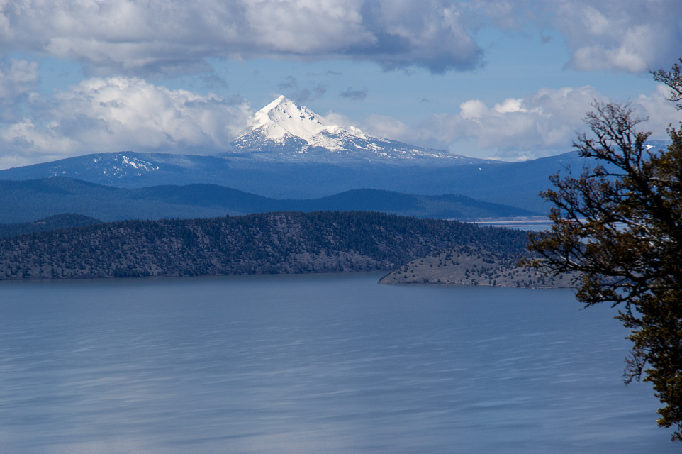

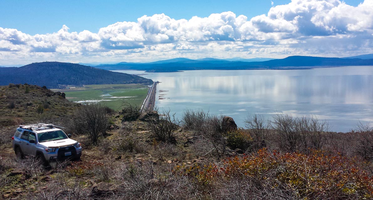
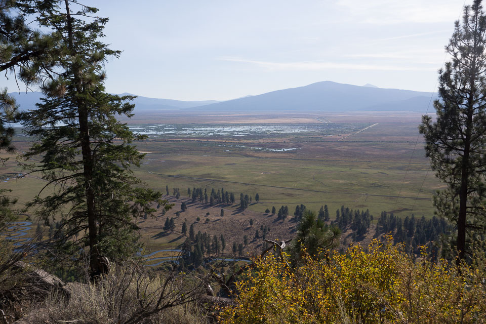
This is a 1500' ridge above the huge Upper Klamath Lake basin with good gravel roads in the Fremont-Winema National Forests. I used a spot just past the cattle guard but many possible sites could be used. The ridge rises gradually to the north so you may want to continue that direction to find better propagation to Portland and Seattle.
There is a nice rest area, Hagelstein Park, at the turnoff from Hwy 97.
Restrictions: Watch for active logging operations.
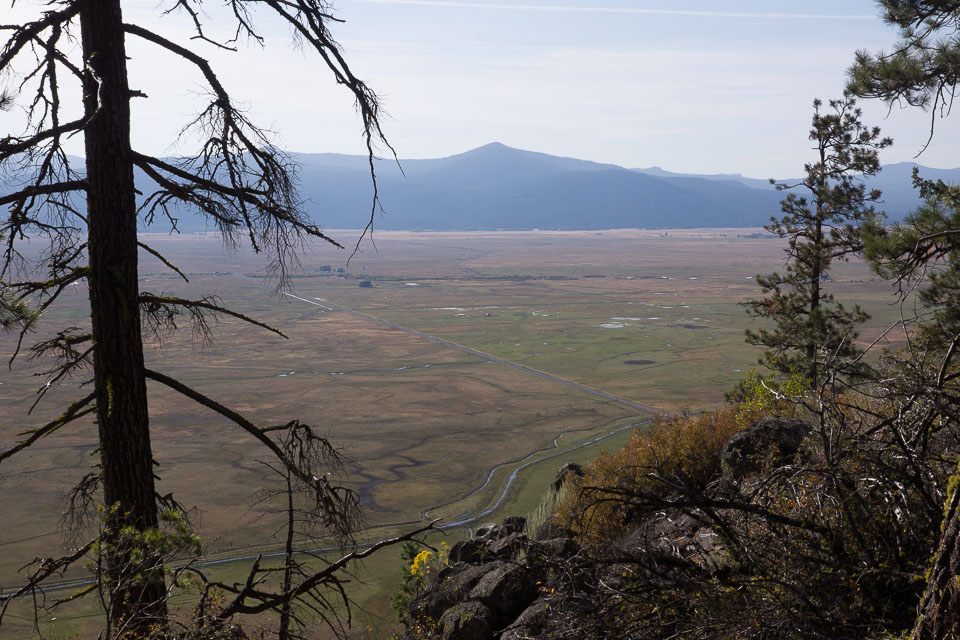
Stukel Mtn, CN92ec34
| 42.100666, -121.634951 |
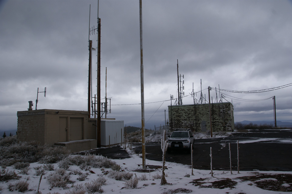
Stukel Mtn is a 6200' peak a few miles southeast of Klamath Falls basin. The road is said to be paved to the top. The ridge has several towers and active ham repeaters.
Driving access is from due east of the peak.
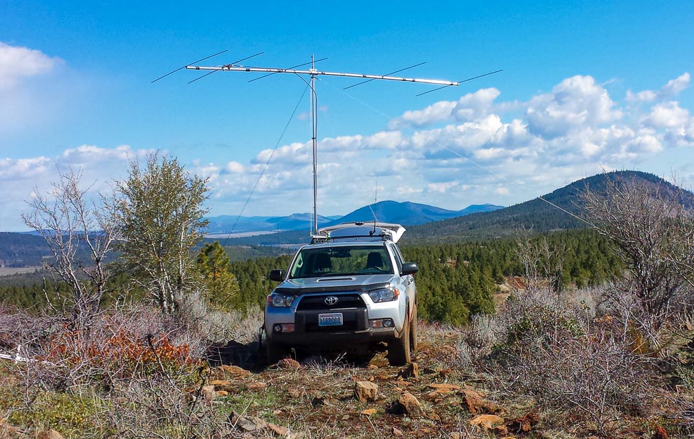
Hamaker Mtn, CN92ab36
| 42.068400, -121.972500 |
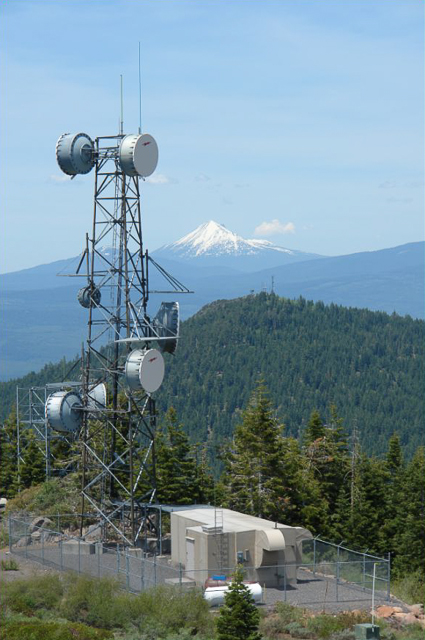
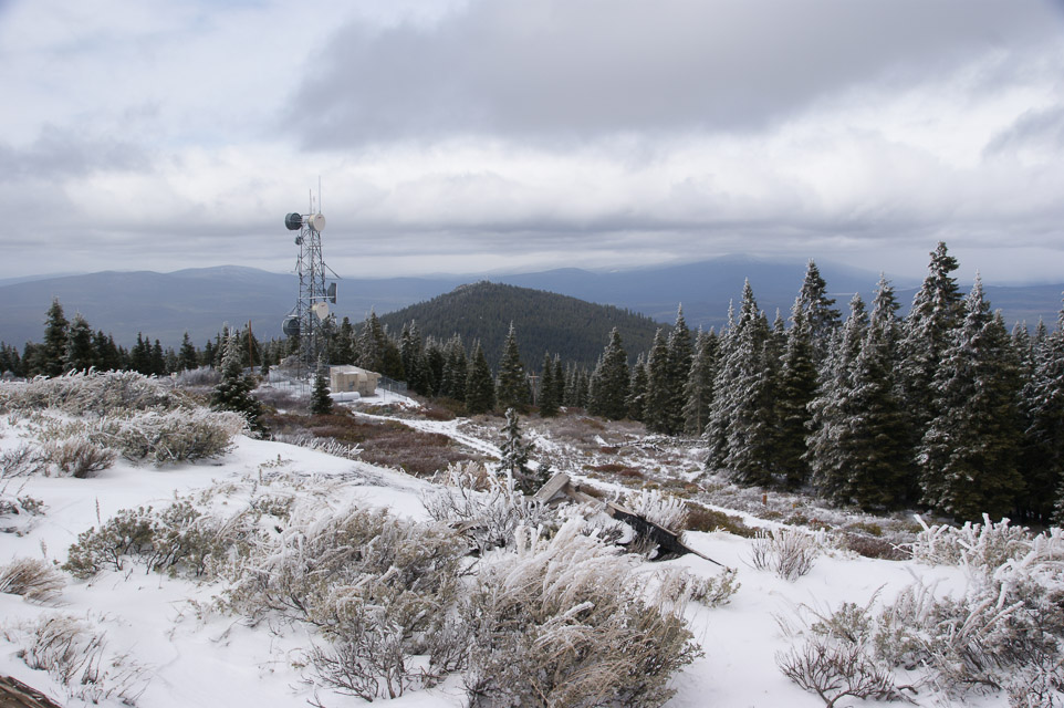
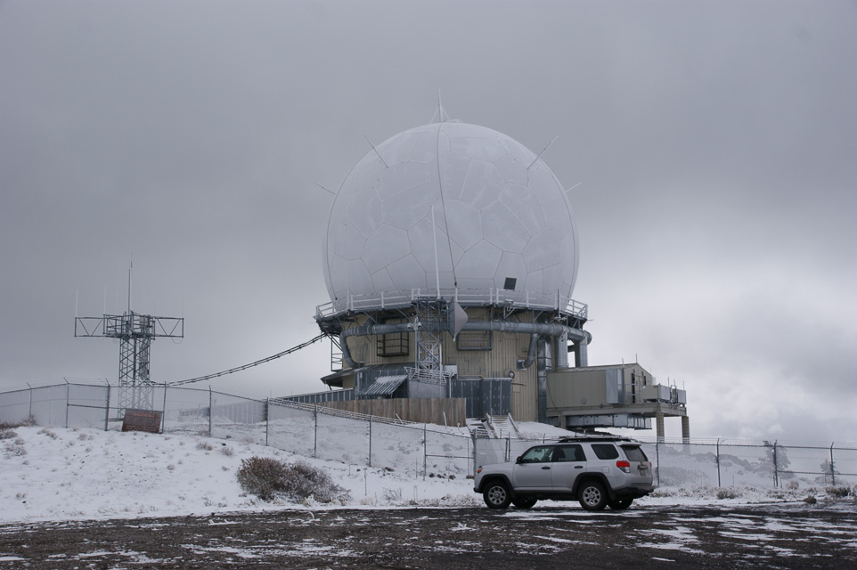
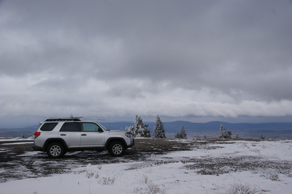
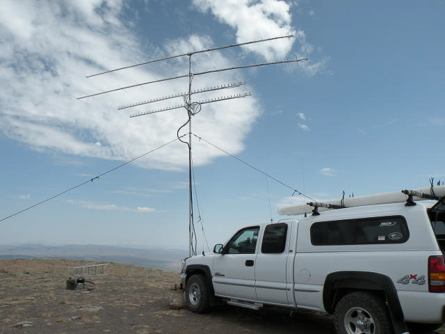
Military radar site, not guarded, open access. Several fenced compounds surrounding several commercial and amateur transmitters.
Good propagation in all directions. Large paved parking lot. This is quite likely the absolute best operating spot in CN92 (which isn't saying much, since it's a very long way to any metro center).
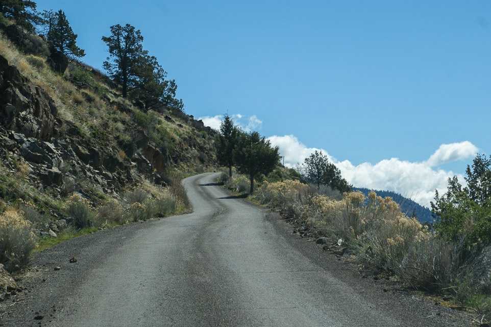
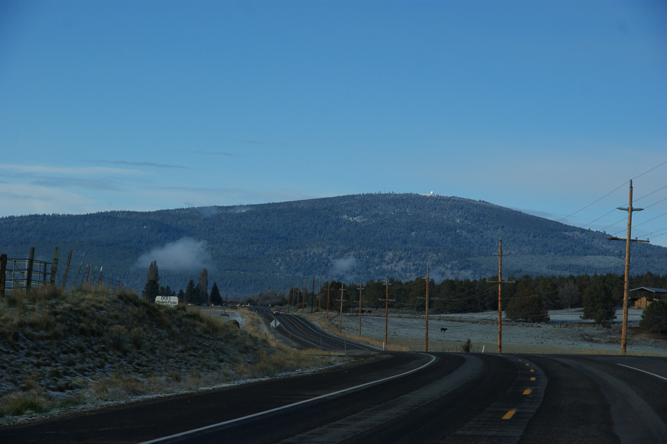
Driving directions: The turn-off is along Hwy 66 between Keno and Mt Ashland. Turn south onto Hamaker Mtn Road. It's about 20 minutes to the top on a paved road.
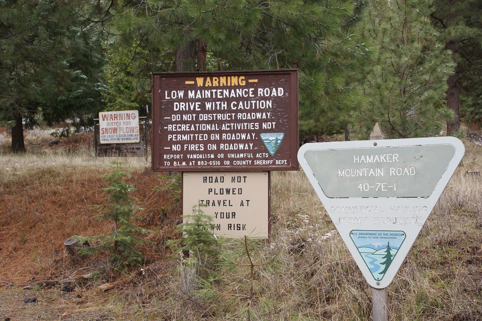
Restrictions: Road is not plowed in winter. May be closed in winter, but usually open in June.
The sign "not plowed in winter" is next to a "watch for snow plows" sign. Take your pick.
Light Peak, CN92wh22
| 42.303699, -120.148697 |
Light Peak summit is about 0.6 miles NE of Drake Peak Lookout. The top is absolutely barren with clear views in all directions. The best VHF/UHF Contest site on the west coast (my opinion), except that it's closed to motorized travel.
Restrictions: Light Peak is closed to motorized travel by the Fremont-Winema Forest Travel Management Plan. You can still hike in, bicycle, ride a horse or etc.
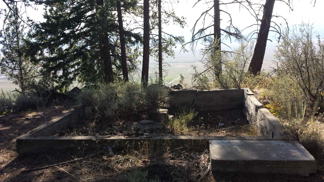
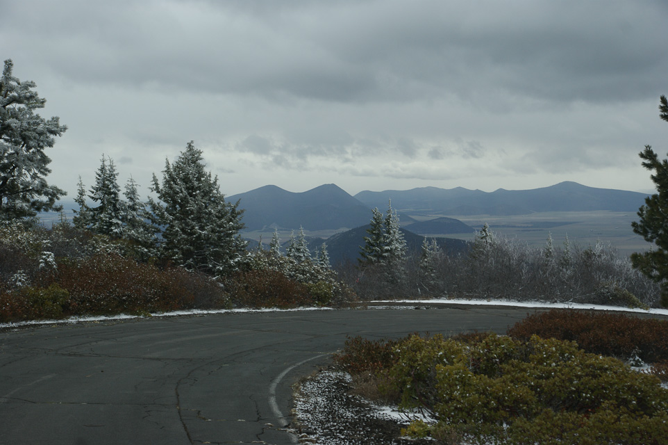
Drake Peak Lookout, CN92wh12
| 42.300568, -120.157828 |
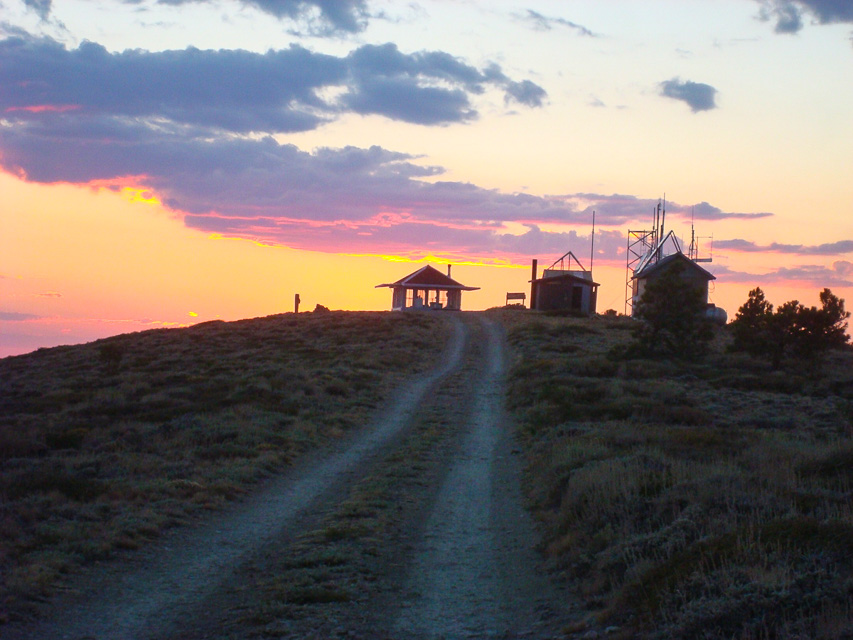
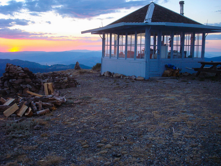
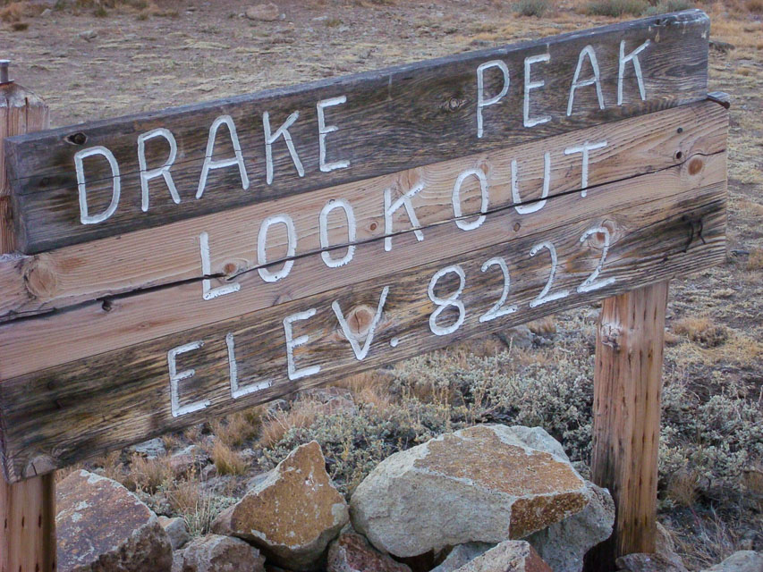
This is a Forest Service Lookout that can be rented.
Drake Peak Lookout is actually on a shoulder of Light Peak. For what it's worth, Light Peak itself is about 1.7 miles east and only accessible by hiking cross country.
See the lookout rental website at http://www.fs.usda.gov/recarea/fremont-winema/recreation/recarea/?recid=59801 . There is a really nice privy installed by the repeaters (see sunset photo).
Another good spot is Light Peak summit, about 0.6 miles NE of the Lookout and can be driven in a 4WD vehicle.
Driving directions: From Highway north of Lakeview, turn right on Highway 140.
- Take Highway 140 east for 8 miles.
- Turn left on Forest Road 3615.
- Go on Forest Road 3615 for 7.5 miles
- Turn right on Forest Road 019.
- Drive Forest Road 019, winding up to the top of the peak for 5 miles.
- See also Topozone Map
Restrictions: Closed in winter.
Hagelstein Mountain, CN92bk92
| 42.427100, -121.836667 |
Driving directions: Hagelstein Mountain is about 12 miles north of Klamath Falls.
- Turn west on the road going up Hagelstein Mountain at Hagelstein Park.
- If going south on 97, this will be the park on your left after traveling next to a 5 mile long mountain next to Klamath lake, just past Modoc Point.
- Travel up the incline and take every gravel road on your left.
- When you reach the point where the road stops going up and you are within a few feet of the face of the cliff you have reached the highest point on the cliff.
- There is a good shot North, west and south and some access to the west.
- Several mountains make good reflectors to get into the Umpqua and Rouge valleys.
- In june the road may be open to algoma point @ 6900 feet about 6 miles west.
- In low snow years this point is available in January.
| < Previous | Page 16 of 27 | Next > |
©1998-2026 Barry Hansen