Rover Location Database
Oregon Rover Locations
- OR Map
- OR List
- Select Grid
- OR from CN85
- DN15 Wallowa
- DN14 Baker City
- DN13 Boise
- DN12 Outback
- DN05 Pendleton
- DN04 John Day
- DN03 Burns
- DN02 Steens
- CN95 The Dalles
- CN94 Bend
- CN93
- CN92 Klamath
- CN86 Centralia
- CN85 Portland
- CN84 Corvallis
- CN83 Roseburg
- CN82 Medford
- CN76 Astoria
- CN75 Lincoln
- CN74 Newport
- CN73 Coos Bay
- CN72 Pt Orford
- Add a Place
Grid Square CN84
6 locations - Knox Butte - Spores Point - Moon Mtn - Mary's Peak - Near Mary's Peak - Dorn's Peak
Potential VHF rover sites in grid CN84.
CN84 dimensions are 98.6 by 69.2 miles.
Explore this grid in Google Earth or equivalent:
Knox Butte, CN84lp86
| 44.651482, -123.015697 |
Close to I-5 but fully developed. I doubt there is a good place to stop among all the houses. A scouting trip would help.
Also try Timber-Linn Memorial Park nearby right off Exit 233.
Driving directions: Intersection of Fern Hill Rd and Townsend Rd:
- From Hwy 30, take the Larson Road exit
- Follow Larson Rd south
- Turn right (or left) onto Parkdale Rd
- Find a spot to park and operate
Spores Point, CN84lc57
| 44.116226, -123.038574 |
Spores Point is near I-5 by Eugene. This probably won't work, as the hilltop has a large set of radio towers and is probably gated, but a scouting trip is needed.
Alternative spots include nearby Armitage County Park at the bottom of the hill. Also try Moon Mtn on the south side of Eugene.
Driving directions: Take I-5 exit 199 toward Coburg, drive 0.2 miles
- Turn right onto E Pearl St, drive 0.6 miles
- Turn left onto Coburg Rd, drive 1.9 miles
- Turn left onto McKenzie View Dr
- Then turn left onto Egge Road
- Drive through underpass
- Continue on 1.0 miles to hilltop
Moon Mtn, CN84la57
| 44.031225, -123.039000 |
Eugene is just north of the CN83 - CN84 grid line.
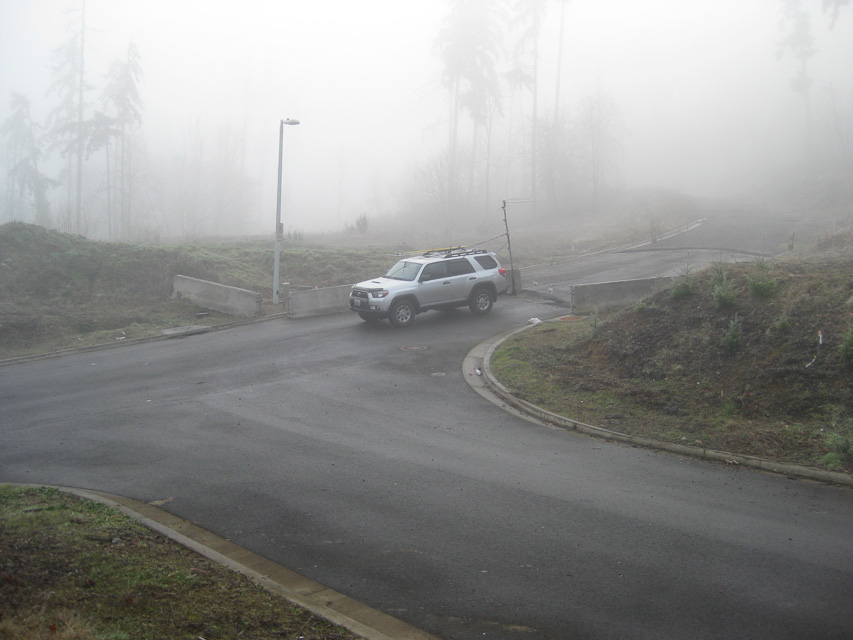
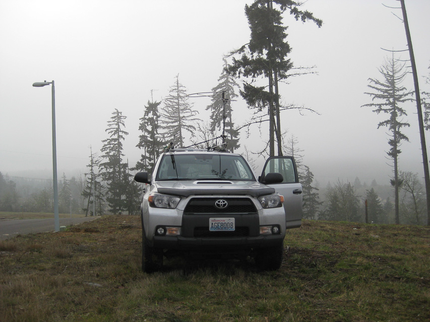
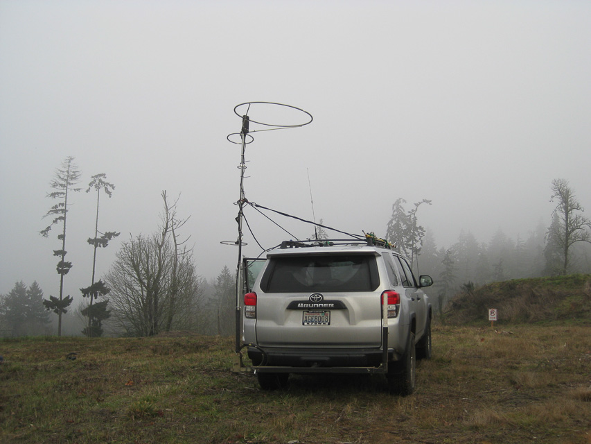
Moon Mtn is within the city limits along I-5 and provides a very quick stop along the freeway and gets you up about 250' above average terrain. This hill contains a new residential development (as of 2013) with streets but no homes, which provides many possible parking spots and good propagation north. Note there is a city park but it has no usable parking.
Restrictions: Vacant in January 2013 but likely to be developed soon.
Mary's Peak, CN84fm31
| 44.504390, -123.552400 |
This site is a large parking lot near the top of Mary's Peak. There is a scenic overlook, complete with restrooms and fresh water. You can hike to the top of the peak, but vehicles are not allowed. There are also TV and FM transmitters located on the top of the peak which may cause interference.
This location has excellent paths in in all directions. Per Bob, W7PUA, the best microwave site is on the east side of the lot just north of the restroom.
There is a campground located approximately a mile from the parking lot. It has flush toilets and fresh water, but is not a particularly good operating location due to trees. (Update 7/01 - Per KB7WW, the park is now closed - no overnight camping.)
The road is moderately steep, and is a steady grade to the top. There is also access from the west via a Forest Service road. I made this trip once in hopes of finding a quick route from the coast and found it to be not worth the effort because of road conditions.
See also Topo Zone Map.
Driving directions: I-5 to Corvallis.
- Highway 20 west to Philomath.
- Approximately 1 mile west of Philomath turn southwest on Highway 34.
- Mary's Peak road is approximately ten miles on right.
Restrictions: Nominal access fee charged for entry with a pay station at the foot of the hill.
You can hike to the top of the peak, but vehicles are not allowed.
No overnight camping.
Near Mary's Peak, CN84fm11
| 44.507056, -123.568361 |
Great location looking North and South. I worked into the Rogue Valley(CN82), CN73 and up to CN88 and CN97 on two meters. Both were S5+ on SSB.
Dorn's Peak, CN84gx25
| 44.981253, -123.477809 |
2022: No public access. Gated and signposted on the grid line at 45.0000, -123.4452.
2003: Clear shot north to Seattle Area. Good gravel road access. No microwave gear in the area.
Driving directions: Highway 22 West from Salem to milepost 4.
- 200' west of Buell go south on Gooseneck Road for 4 miles.
- Go left on Gooseneck Access Road for 2 miles to "Y".
- Go left 2 miles to three way.
- Take right fork to top.
| < Previous | Page 19 of 27 | Next > |
©1998-2026 Barry Hansen