Rover Location Database
Oregon Rover Locations
- OR Map
- OR List
- Select Grid
- OR from CN85
- DN15 Wallowa
- DN14 Baker City
- DN13 Boise
- DN12 Outback
- DN05 Pendleton
- DN04 John Day
- DN03 Burns
- DN02 Steens
- CN95 The Dalles
- CN94 Bend
- CN93
- CN92 Klamath
- CN86 Centralia
- CN85 Portland
- CN84 Corvallis
- CN83 Roseburg
- CN82 Medford
- CN76 Astoria
- CN75 Lincoln
- CN74 Newport
- CN73 Coos Bay
- CN72 Pt Orford
- Add a Place
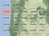
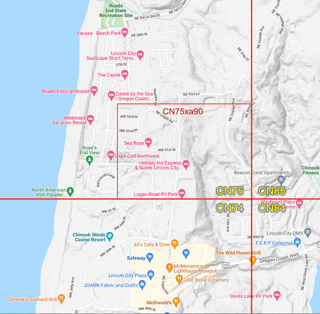
Grid Square CN75
8 locations - Wave Lane - The Knoll - Cascade Head - Liberty Inn - Logan Rd RV Park - Roads End State Park - Voyage Avenue - Cape Lookout
Potential VHF rover sites in grid CN75.
The Oregon coast is a series of state parks, overlooks and beaches. Have fun.
CN75 dimensions are 96.9 by 69.2 miles.
Explore this grid in Google Earth or equivalent:
Wave Lane, CN75xa90
| 45.003286, -124.000517 |
Wave Lane is a side street in a residential area, just inside CN75.
The Knoll, CN75xa93
| 45.014600, -124.004070 |
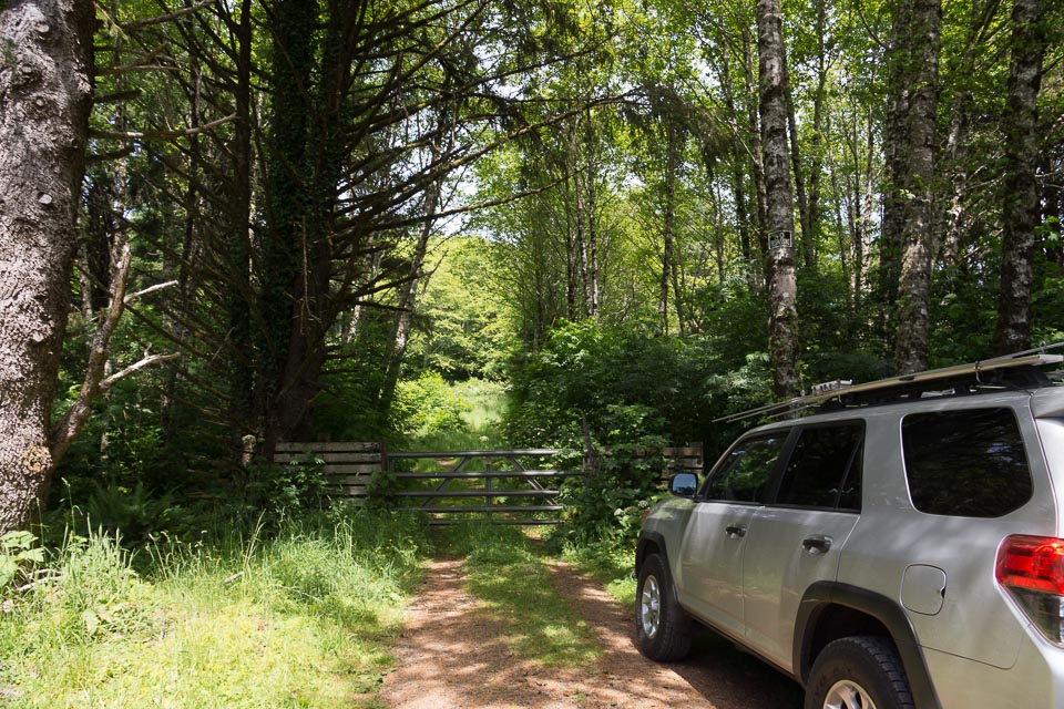

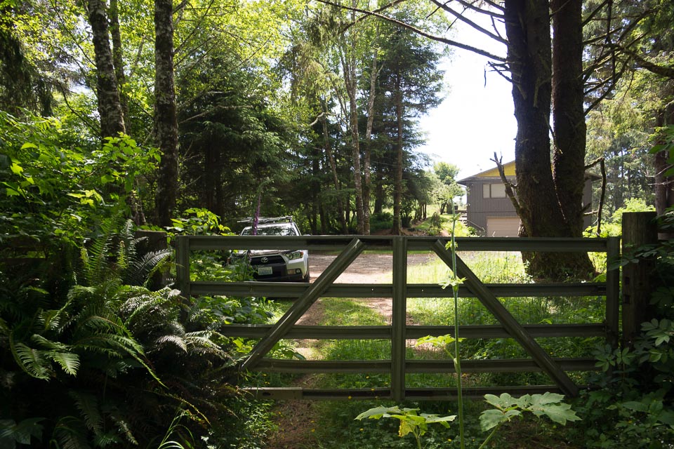
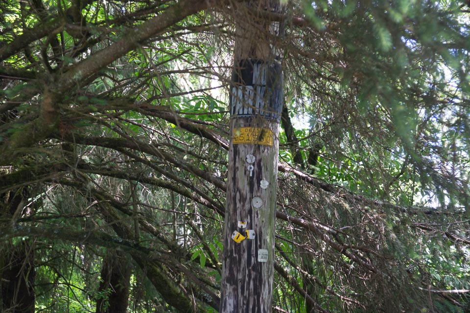
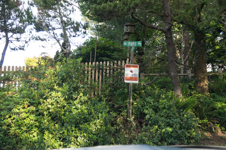
"The Knoll Open Space" offers hiking access to a very promising hilltop. This is higher than almost everything else in the miserable sliver of dry land in CN75. This would be a great spot for portable operation but you'll have to hike everything up to the top.
The Knoll is a hilltop purchased by Lincoln City in December 2014 from a developer in distress. It will eventually be developed into a park with foot trails, but as of June 2015 is gated off to traffic and is overgrown.
Driving directions: The turnoff is opposite the entrance to Roads End State Park.
Restrictions: No parking, so arrange for someone to drop you off with your equipment and then park a half mile down the hill at sea level. Trailhead is among expensive homes with an active neighborhood watch.
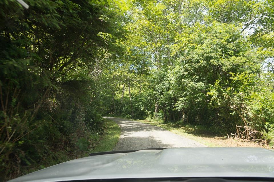
Cascade Head, CN75xb93
| 45.056881, -124.003563 |
Cascade Head is a hike-in hilltop and viewpoint in CN75.
Photos: AllTrails.com
Managed by: Nature Conservancy
Restrictions: Closed to all hikers and visitors, Dec 2021.
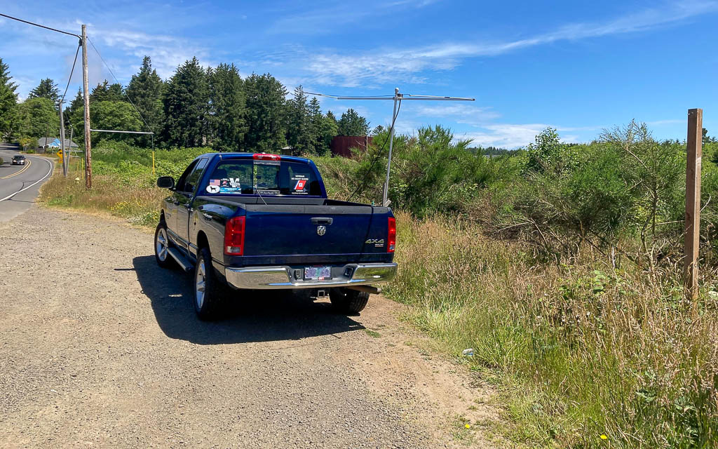
Liberty Inn, CN75xa90
| 45.001466, -124.003640 |
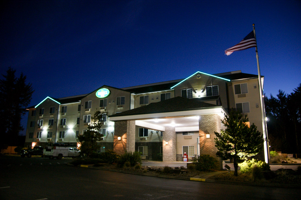
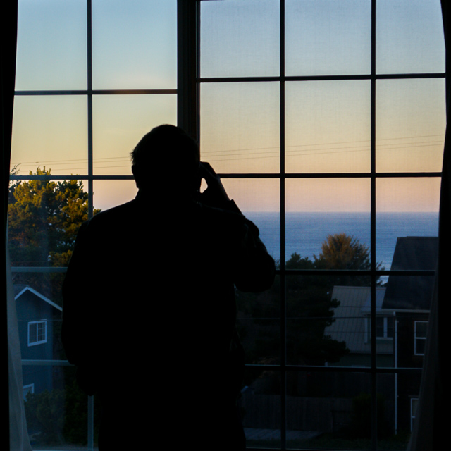
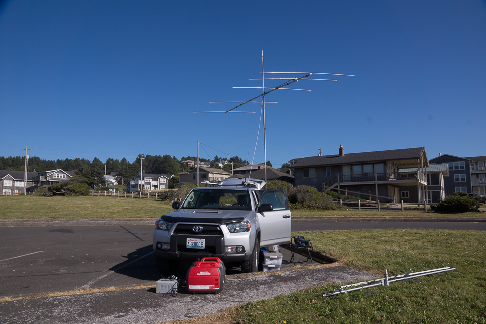
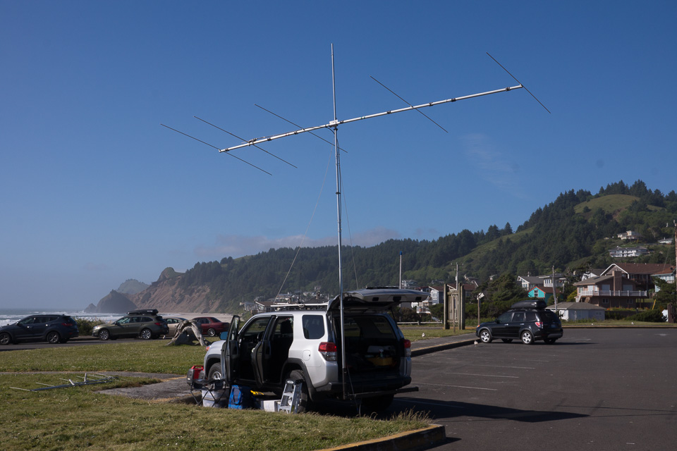
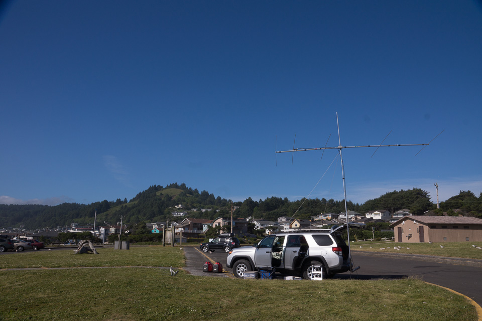
Liberty Inn at Lincoln City is a nice hotel on the CN75 side of the grid corner. Rooms on the top floor have a nice view of the ocean. Liberty Inn is entirely in CN75; the grid line is at the Inn's south fence.
It's on a hillside with propagation as good as you'll find anywhere in CN75. We had strong signals into the Portland area and contacted the major stations in Seattle from the back corner of their parking lot.
Driving directions: From Hwy 101, turn north on Logan Road. Drive 1/4 mile.
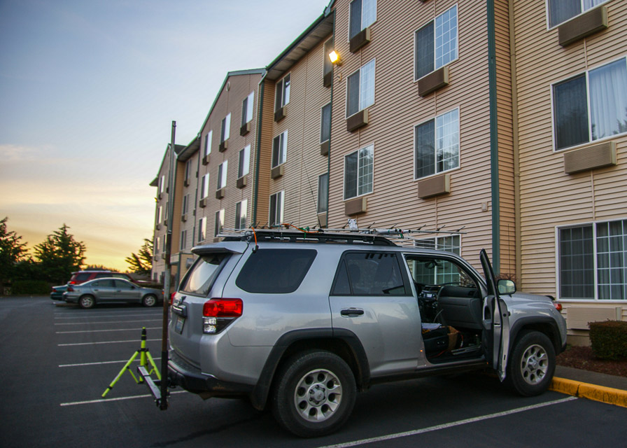
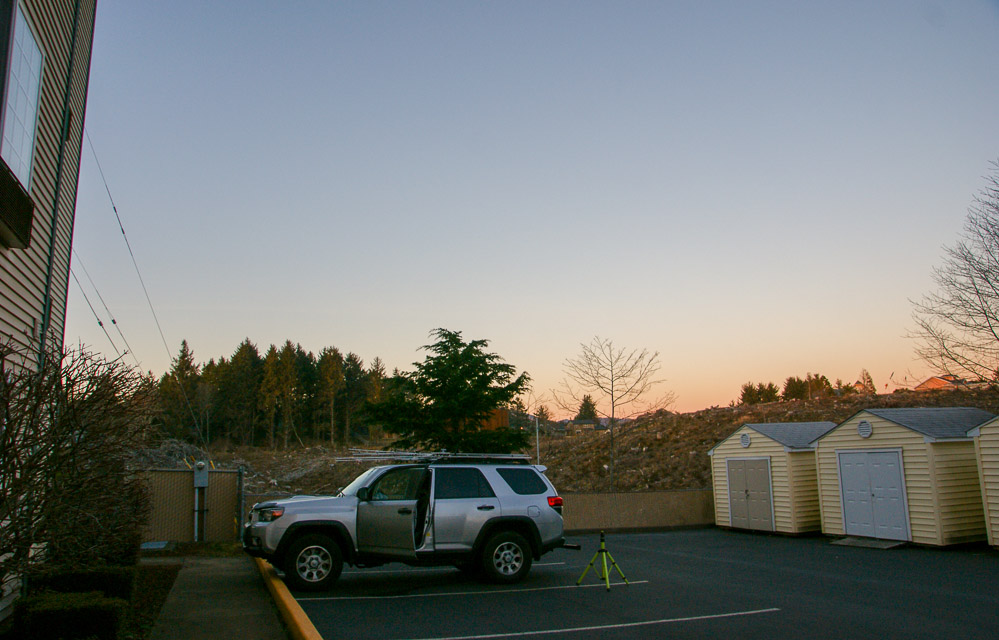
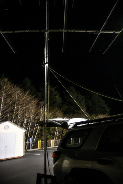
Logan Rd RV Park, CN75xa90
| 45.000065, -124.003579 |
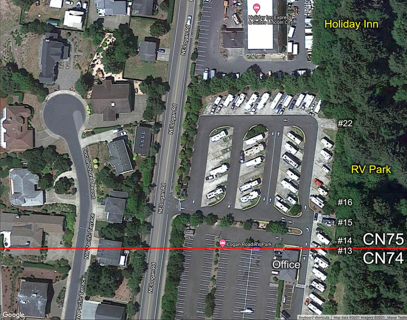
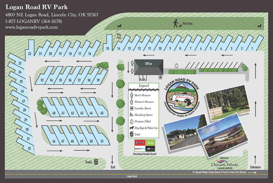
Logan Road RV Park in Lincoln City is alongside the Liberty Inn Hotel, and on the CN74-75 grid line. Parking spots 13-22 have an eastward drop-off into a small but steep valley.
According to satellite views, Parking spot 13 is on the grid line.
There is an expansive parking lot that's geared toward casino parking but most of it is in CN74 not CN75. This hillside is as good as a horizon as you'll find anywhere in the annoying tiny sliver of CN75.
Driving directions: From Hwy 101, turn north on NE Logan Road in Lincoln City. Drive 1/4 mile.
Roads End State Park, CN75xa81
| 45.008050, -124.009533 |
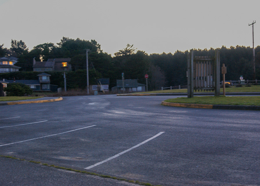
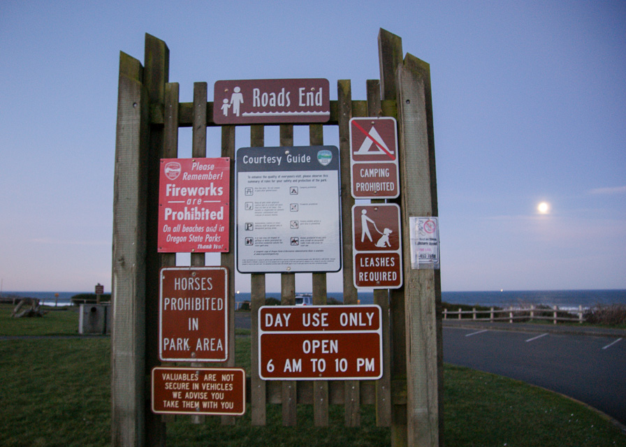
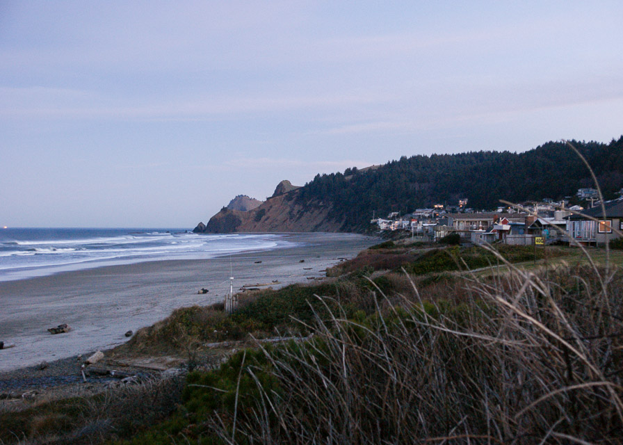
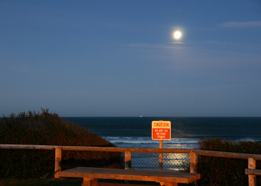
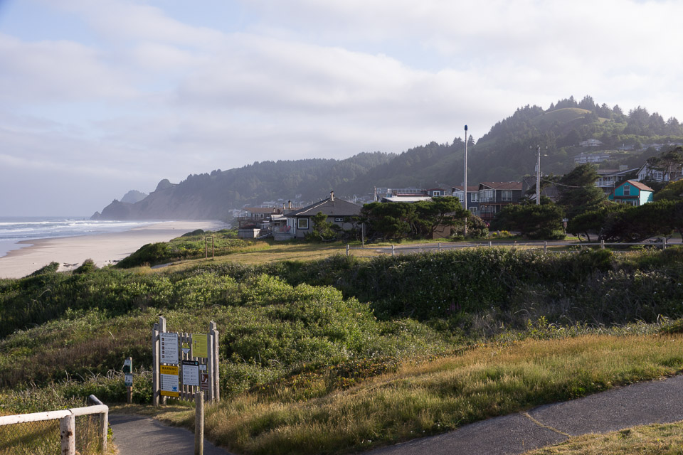
Roads End State Recreation Site is a parking lot on the beach. It has a ridge behind it to the east, so it is not a particularly good location, though it is public. There are restrooms and fresh water and lots of foot traffic.
From this state park on the beach, you have an excellent view of where you want to be, up on The Knoll Open Space. In June 2015, I'm not sure that anyone living there really appreciated me pumping a kilowatt at 50.140 MHz into their expensive homes on the hillside. But enough of it reached Seattle CN87 that I finally completed a few contacts.
Driving directions: Turn west off Highway 101 opposite the McDonalds on NW Logan Loop Road.
- You pass into CN75 just before you get to the Liberty Inn.
- Continue almost one mile down Logan Loop Road.
Restrictions: Day use only. Open 6am to 10pm.
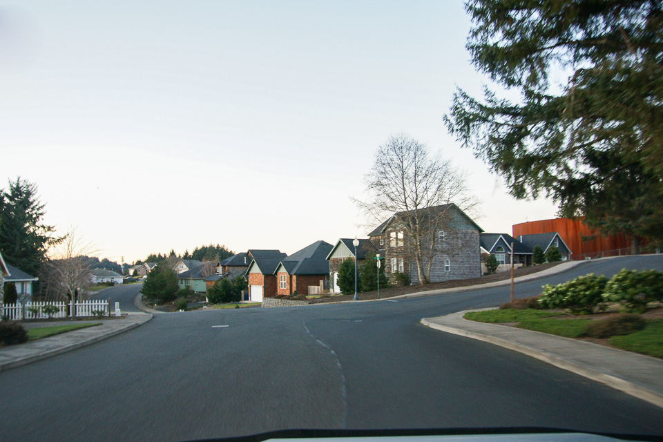
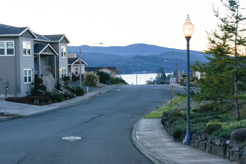
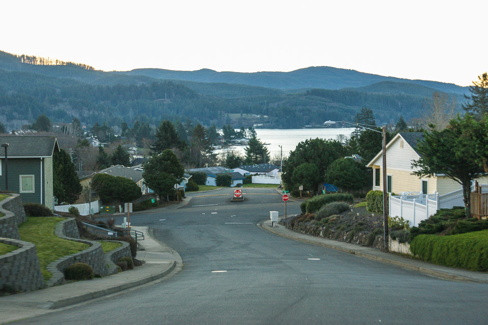
Voyage Avenue, CN75xa90
| 45.000500, -124.000500 |
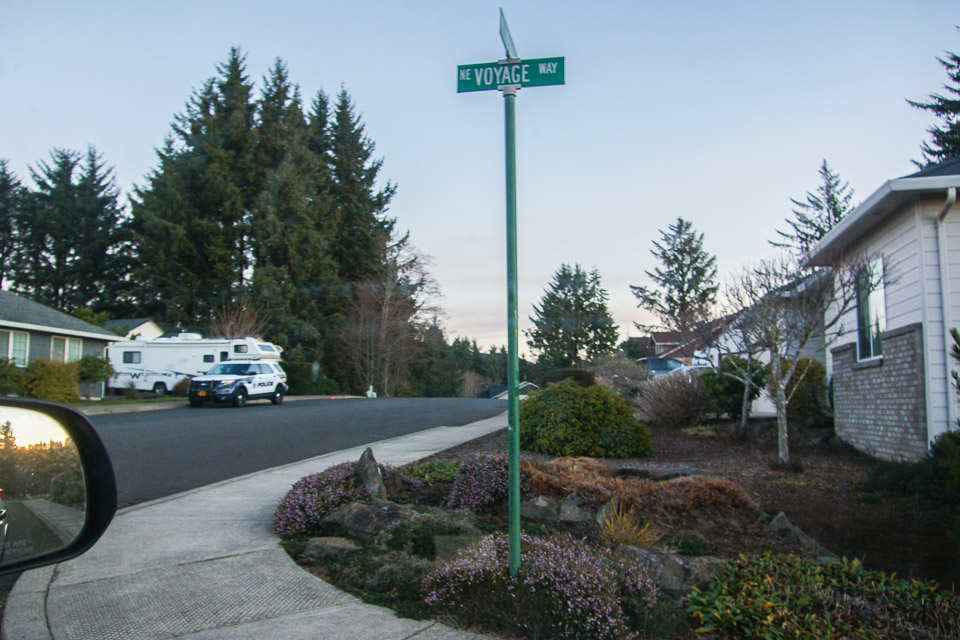
2014-01: The hilltop is fully developed and there's no good place to park. - Barry K7BWH
2001-12: This site is in a subdivision under construction. Houses are going in all of the time, so it is hard to say what you will run into. It is on high ground west of Highway 101, and can only be listed as an "adequate" operating location since there are no "good" ones in this oceanside grid.
Driving directions: This is on the west side of Devil's Lake in Lincoln City.
- Turn west from Highway 101 onto "NE West Devils Lake Blvd"
- Up hill into "Sun Ridge by the Lake"
- Go left on NE 47th St
- Turn right on Voyage Avenue at the top of the hill
- Just before the intersection of Voyage Avenue and NE 49th you go into CN75
Cape Lookout, CN75xi91
| 45.338900, -124.000800 |
Update de KC7TS: I doubt if any big operations will ever be mounted from here. There is a parking lot (thieves paradise) with quite a few spaces, where you can leave your vehicle to be plundered while hiking out the trail. The trail is (was) in pretty good shape, but I haven't been there in many years. It is a little over 1 mile to get across the line, and you still have lots of trees once you're there.
| < Previous | Page 23 of 27 | Next > |
©1998-2026 Barry Hansen