Rover Location Database
Oregon Rover Locations
- OR Map
- OR List
- Select Grid
- OR from CN85
- DN15 Wallowa
- DN14 Baker City
- DN13 Boise
- DN12 Outback
- DN05 Pendleton
- DN04 John Day
- DN03 Burns
- DN02 Steens
- CN95 The Dalles
- CN94 Bend
- CN93
- CN92 Klamath
- CN86 Centralia
- CN85 Portland
- CN84 Corvallis
- CN83 Roseburg
- CN82 Medford
- CN76 Astoria
- CN75 Lincoln
- CN74 Newport
- CN73 Coos Bay
- CN72 Pt Orford
- Add a Place
Grid Square DN12
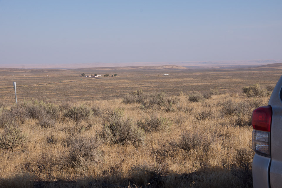
13 locations - Shoofly - Hwy 95 Gravel Pit - Danner Water Tank - Antelope Reservoir - Pharmacy Hill - Gravel Pit 2 - Hwy 95 Hill - North Blue Mtn - Juniper Ridge 2 - Grahams Hill - Red Hill - Red Hills - Clover Mtn
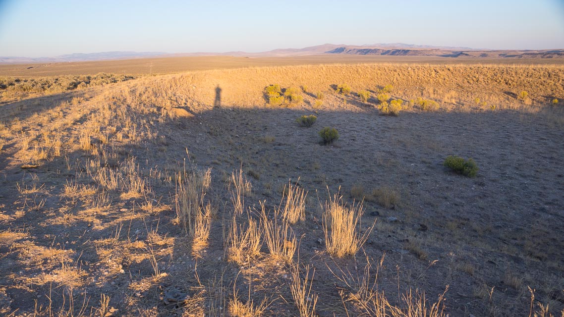
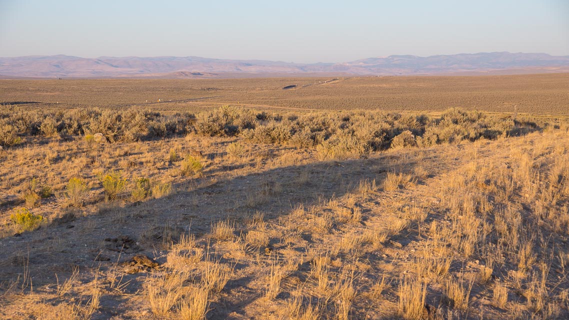
Potential VHF rover sites in grid DN12.
DN12 dimensions are 101.9 by 69.2 miles.
Explore this grid in Google Earth or equivalent:
Shoofly, DN12wu50
| 42.837207, -116.121786 |
Shoofly Oolite Interpretive Trail BLM Site is a historical landmark pull-off on Mud Flat Road, leading to a 2.1-mile trail. POTA park US-12225
Restrictions: No services.
Hwy 95 Gravel Pit, DN12hv20
| 42.878993, -117.391667 |
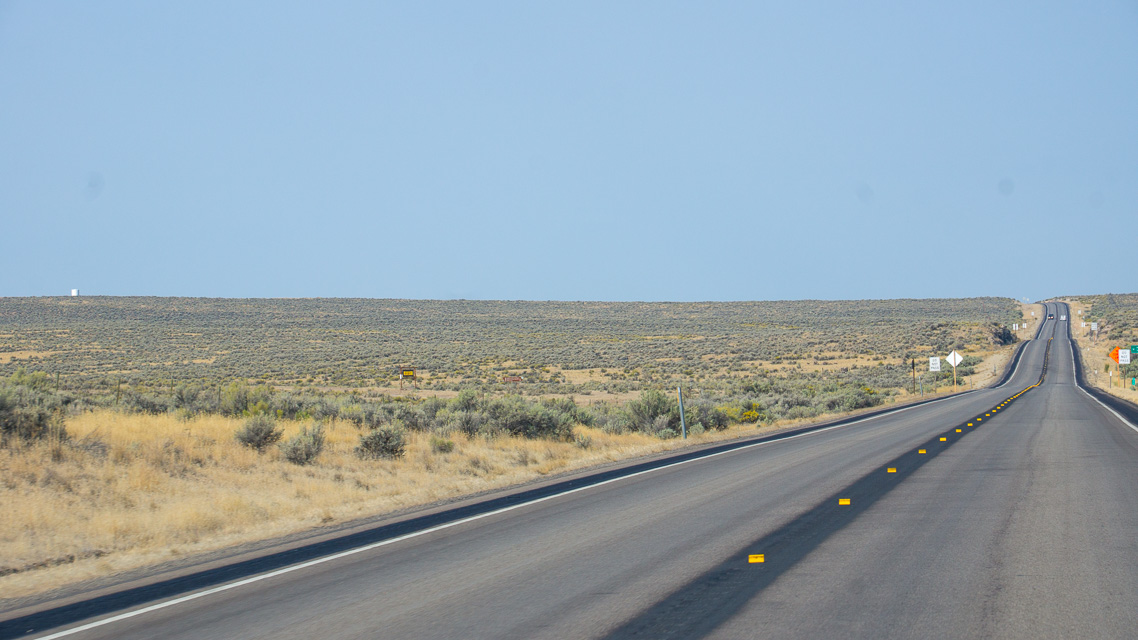
This gravel pit along Hwy 95 "ION Hwy" provides a convenient quick pulloff that's not far from the adjacent grids DN02-03-13. But don't get your hopes up; it's barely above the desert floor and long-distance propagation will be marginal. This is good for local contacts while grid-circling but not for a grid expedition.
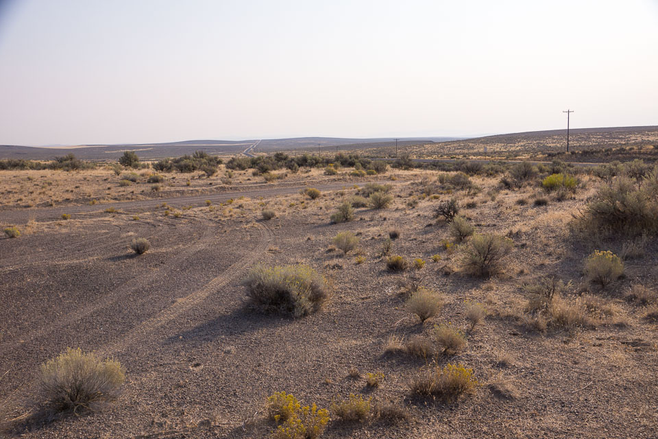
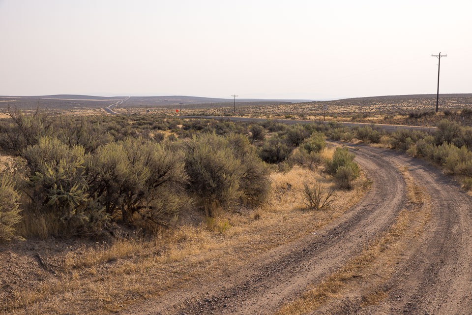
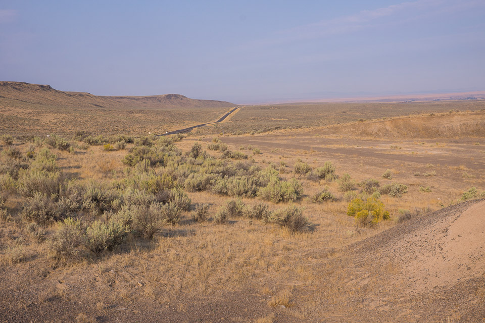
Danner Water Tank, DN12hv95
| 42.897980, -117.333440 |
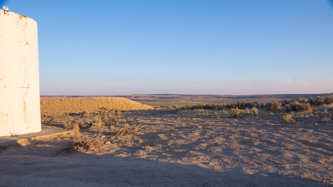
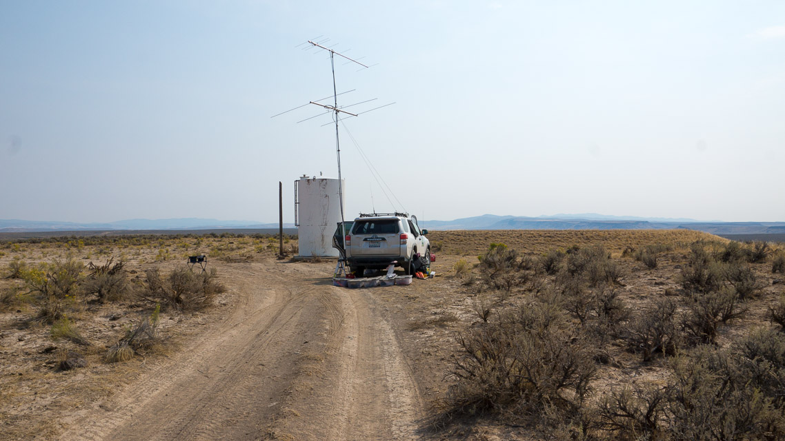
This water tank is immediately off Hwy 95 "Ion Highway" just south of Danner, OR, an easy drive from Cow Lakes to the north in DN13. This was one of my most productive hilltops in the 2015 Sept VHF Contest.
Note that Thompson Creek Ridge has better altitude and probably has better propagation, but it's also an hour further from the grid corner.
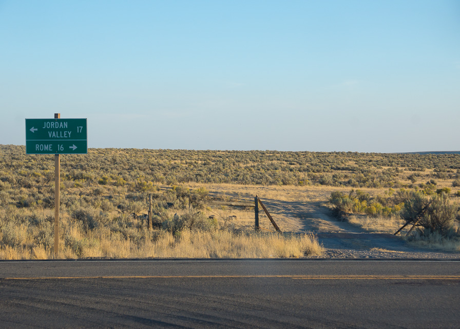
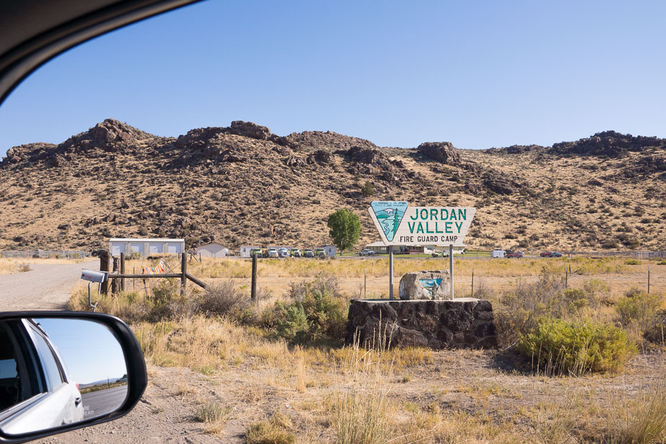
Driving directions: The water tank is on Hwy 95, halfway between Jordan Valley and Rome. The entrance road is stright across from the turnoff to Danner.
Restrictions: No water.
Antelope Reservoir, DN12jv18
| 42.908997, -117.237125 |

A nice basic campsite near the grid corner DN02-03-12-13. Open horizon in all directions but hey, it's a lake, this is not a high spot.
No water, no services. Vault toilet.
Pharmacy Hill, DN12lx24
| 42.979033, -117.061136 |

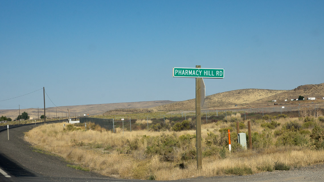
An table overlooking the city of Jordan Valley near the DN12/DN13 grid line.
This is not as good as it sounds. The road is terrible and the hill is not very high.
Gravel Pit 2, DN12bt50
| 42.793196, -117.871542 |
A highway service gravel pit alongside '78 near the grid corner. There is instant access from the highway and you can climb 100' up to the top with a good view down the valley each way.
Restrictions: It's a long way, 42 miles, to food and gas in Jordan Valley.
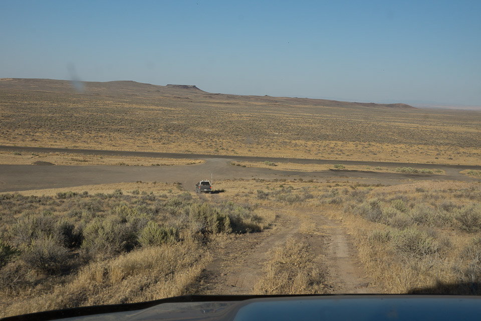
Hwy 95 Hill, DN12dd65
| 42.149278, -117.697649 |
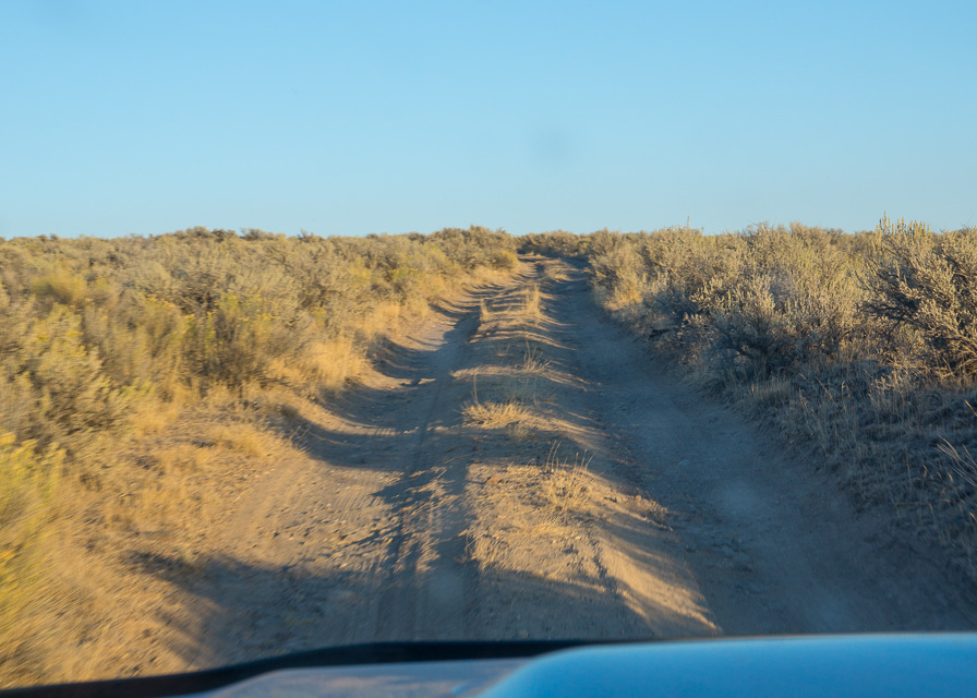
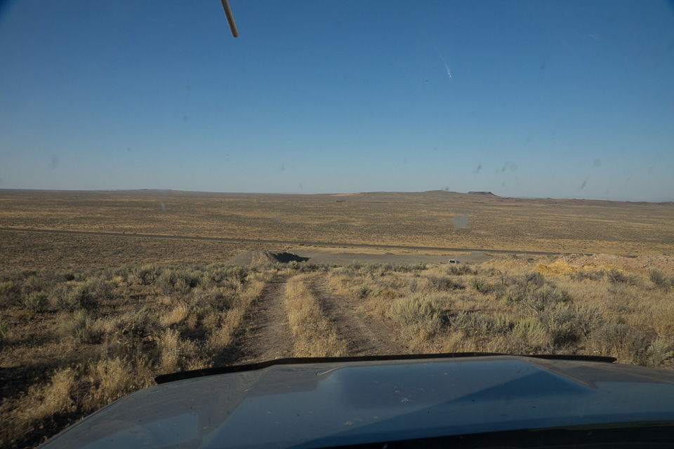
Near the Oregon-Nevada border is a dirt track up to a very good hilltop with a small antenna of some sort. (Cellphone?)
Driving directions: Turnoff from Hwy 95 is at 42.121368, -117.74558. Follow this dirt track up hill.
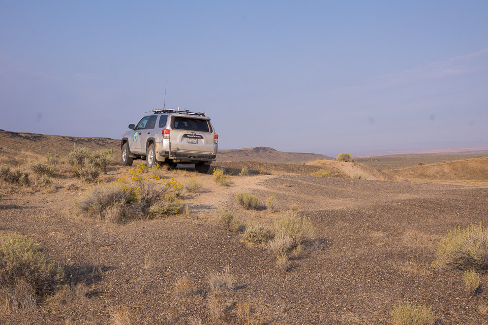
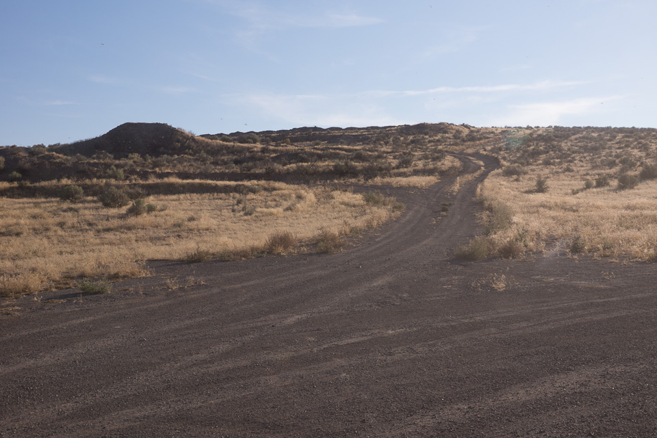
North Blue Mtn, DN12bj31
| 42.379661, -117.888837 |
Not far off Hwy 95, near Basque, is a dirt road up to North Blue Mountain Reservoir. It seems like a good accessible local high point at 5,800'.
Juniper Ridge 2, DN12ju46
| 42.858766, -117.208477 |
Grahams Hill, DN12fv99
| 42.916266, -117.503764 |
Might be drivable.
Red Hill, DN12lt45
| 42.812655, -117.042914 |
Driving directions: Off road.
Red Hills, DN12do16
| 42.608769, -117.740706 |
Driving directions: Find Rome State Airport, then east off-road.
Restrictions: It's a long way, 66 miles, to get food and gas in Jordan Valley.
Clover Mtn, DN12sr96
| 42.734867, -116.418627 |
| < Previous | Page 8 of 27 | Next > |
©1998-2026 Barry Hansen