Rover Location Database
Oregon Rover Locations
- OR Map
- OR List
- Select Grid
- OR from CN85
- DN15 Wallowa
- DN14 Baker City
- DN13 Boise
- DN12 Outback
- DN05 Pendleton
- DN04 John Day
- DN03 Burns
- DN02 Steens
- CN95 The Dalles
- CN94 Bend
- CN93
- CN92 Klamath
- CN86 Centralia
- CN85 Portland
- CN84 Corvallis
- CN83 Roseburg
- CN82 Medford
- CN76 Astoria
- CN75 Lincoln
- CN74 Newport
- CN73 Coos Bay
- CN72 Pt Orford
- Add a Place
Grid Square DN02
11 locations - DN01-02 Line - Hart Mtn Refuge - Hot Springs Campground - Steens Hwy - Gravel Pit 1 - Rock Quarry - Fifteenmile Reservoir - Fish Lake - Steens Rim - Steens Mountain - Juniper Mountain
Potential VHF rover sites in grid DN02.
DN02 dimensions are 101.9 by 69.2 miles.
Explore this grid in Google Earth or equivalent:
DN01-02 Line, DN02va20
| 42.000000, -118.231779 |
Hart Mtn Refuge, DN02en11
| 42.549042, -119.654671 |
At the intersection of Hart Mountain Rd and Frenchglen Rd is the offices and parking area for Hart Mountain National Antelope Refuge. This is the place to talk to rangers about local conditions.
Restrictions: No camping facilities(?) at this office area.
Hot Springs Campground, DN02dm70
| 42.501932, -119.689886 |
There is a hot spring and a nice but primitive campground. It hase an outbuilding with a vault toilet.
This is in a valley with a 7,200' ridge to the west and a 6,800' peak to the east. Might be good for HF and moonbounce but not much clear horizon for VHF.
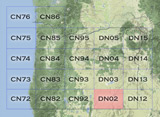
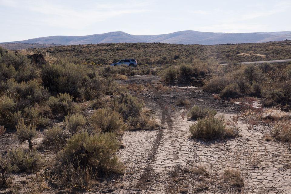
Steens Hwy, DN02xw91
| 42.923250, -118.008330 |
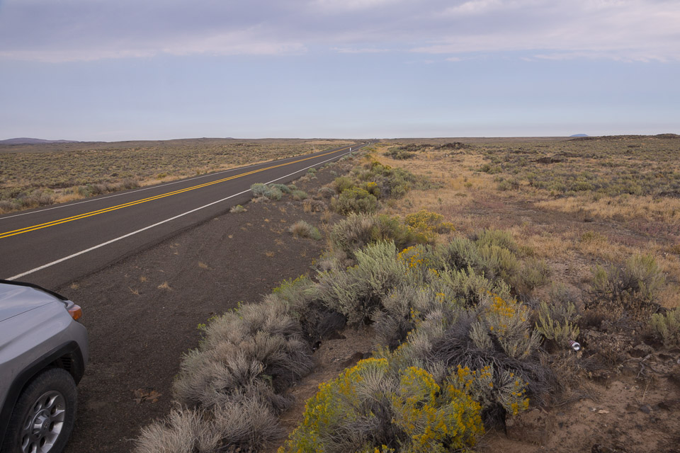

This is a quick pulloff on a small local rise in the terrain, near the only bend for a few miles each way. It's marked with a decorative rock stack. There's not really a wide spot here, but if you can safely get off the road then it's an easy path to work another grid-circling rover in DN03-13-12 nearby.
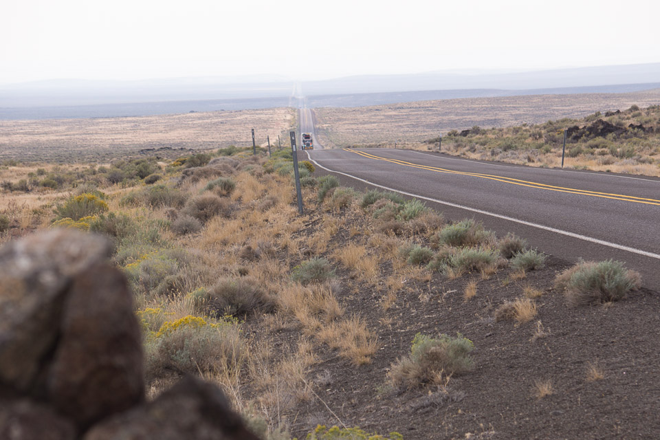
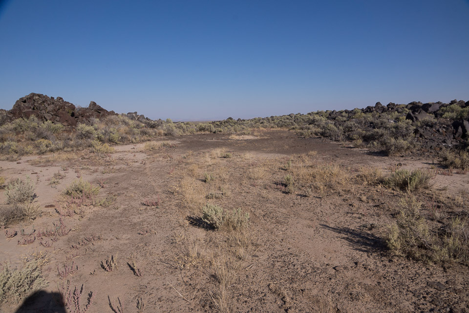
Gravel Pit 1, DN02xx30
| 42.958588, -118.051784 |
Another highway pull-off alongside '78 near the grid corner. There is instant access from the highway but it's not much above average terrain.
Rock Quarry, DN02xw39
| 42.957540, -118.050970 |
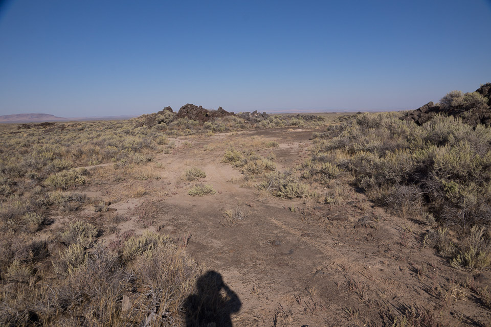
This rock quarry provides a level spot alongside the Steens Hwy. You will need to clear some brush to drive off the highway to park in here.
Fifteenmile Reservoir, DN02xc37
| 42.114330, -118.053246 |
West of McDermitt, on the OR-NV border, is this very high point. It's a long way from Hwy 95 and might not be drivable, but it's near the DN02-DN03 grid line.
Fish Lake, DN02qr27
| 42.738660, -118.643417 |
Fish Lake offers a good camping site for a grid expedition on Steens Mtn.
Steens Rim, DN02ms23
| 42.763382, -118.977679 |
Steens Mountain, DN02rp02
| 42.636418, -118.576717 |
The highest road in Oregon.
Steens Mountain is a large fault-block mountain in the southeastern part of Oregon. Located in Harney County, it stretches some 50 miles (80 km) long north to south, and rises from alongside the Alvord Desert at elevation of about 4,200 feet (1,300 m) to a summit elevation of 9,733 feet (2,967 m).
Juniper Mountain, DN02aw73
| 42.929217, -119.933381 |
Dig out the map to locate this one. It is off Hwy 395 south of Wagontire near the DN02/DN03 grid line.
Driving directions: Hwy 395 to south of Wagontire.
- West on road to mountain. Not sure about lat/long.
- No further information available - better get some maps!
| < Previous | Page 12 of 27 | Next > |
©1998-2026 Barry Hansen