Rover Location Database
Oregon Rover Locations
- OR Map
- OR List
- Select Grid
- OR from CN85
- DN15 Wallowa
- DN14 Baker City
- DN13 Boise
- DN12 Outback
- DN05 Pendleton
- DN04 John Day
- DN03 Burns
- DN02 Steens
- CN95 The Dalles
- CN94 Bend
- CN93
- CN92 Klamath
- CN86 Centralia
- CN85 Portland
- CN84 Corvallis
- CN83 Roseburg
- CN82 Medford
- CN76 Astoria
- CN75 Lincoln
- CN74 Newport
- CN73 Coos Bay
- CN72 Pt Orford
- Add a Place
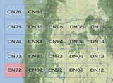
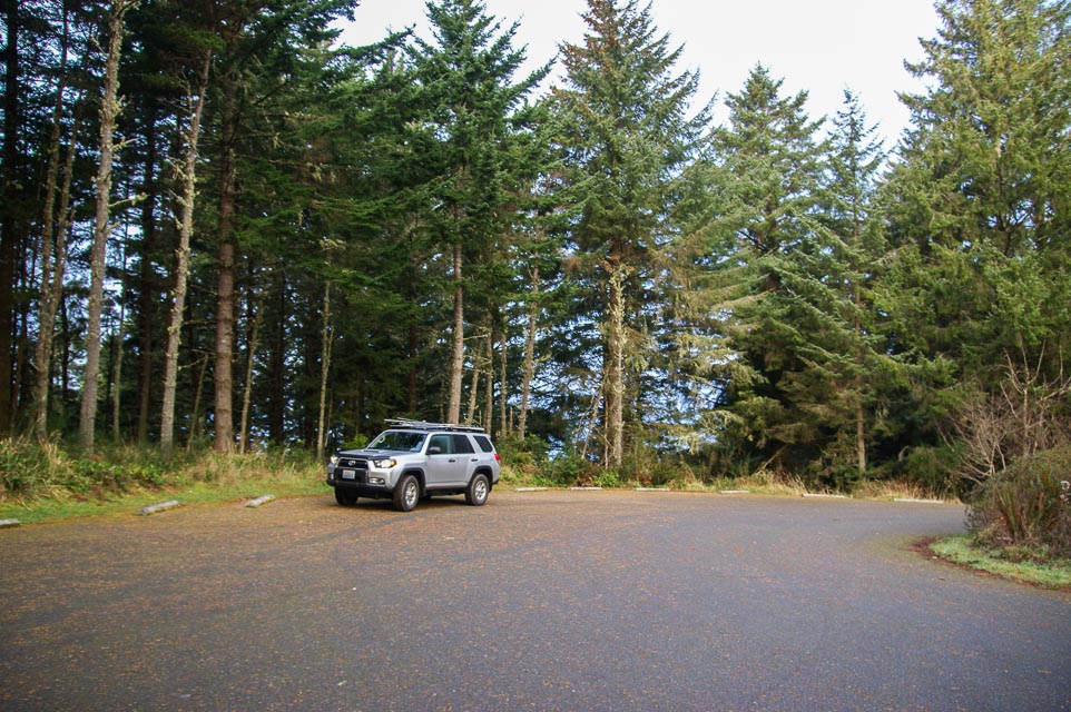
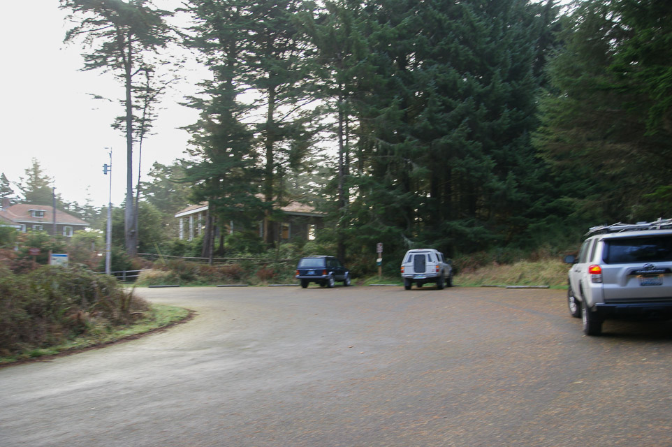
Grid Square CN72
8 locations - CN71-72 Line - CN71-72 Peavine Ridge - CN71-72 Grid Line - Ophir Mtn - Iron Mtn - Iron Mtn - Coast Guard Hill - Cape Blanco Park
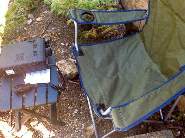
Potential VHF rover sites in grid CN72.
The Oregon coast is a series of state parks, overlooks and beaches. Have fun.
CN72 dimensions are 101.9 by 69.2 miles.
Explore this grid in Google Earth or equivalent:
CN71-72 Line, CN72xa30
| 42.000000, -124.052051 |
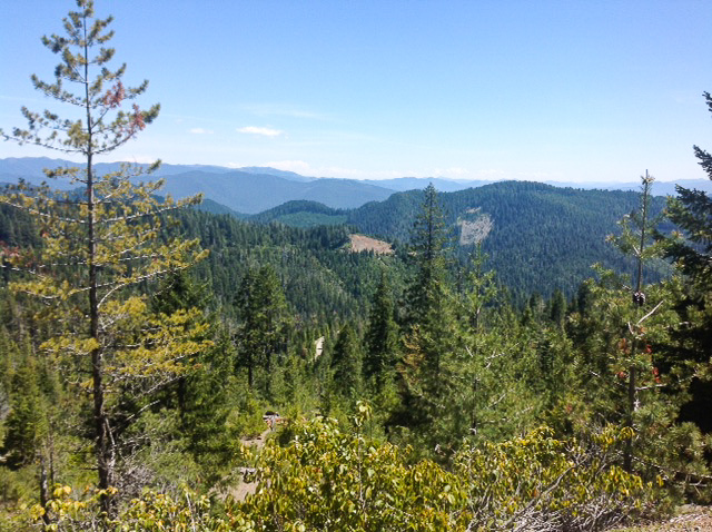
This is a wide spot on a forest service road on the Oregon/California border. The ridge has good takeoff angles to the east and south.
Spot is pretty overgrown and not traveled on, but there is still room to get off the road.
When you're in this area, check these:
Driving directions: Accessed from Winchuck River Rd. Google map
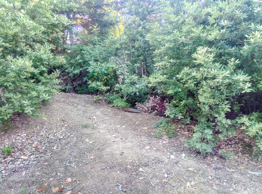
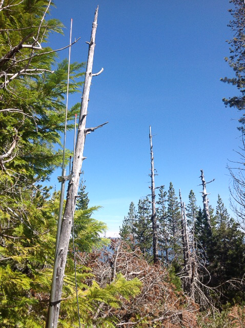
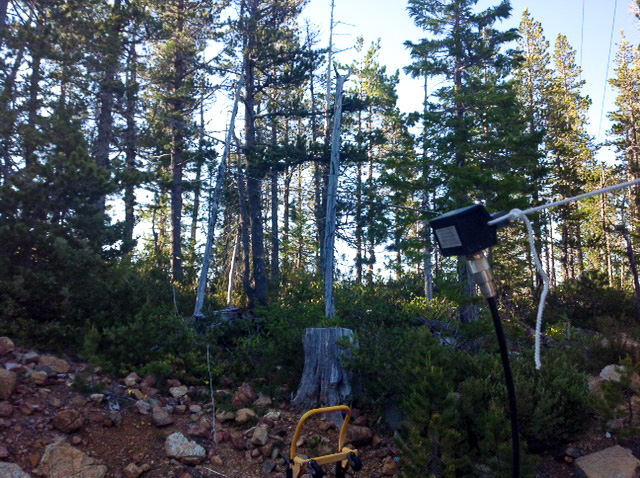
CN71-72 Peavine Ridge, CN72wa10
| 42.000000, -124.158333 |
CN71-CN72 grid line in the Rogue River Siskyou National Forest with an outstanding view East.
150' of coax is needed if you intend to park at the base of a short hill and have the antenna on top of the hill.
High clearance vehicles recommended.
Restrictions: Be wary of bears. We saw large pawprints in the road.
CN71-72 Grid Line, CN72xa30
| 42.000074, -124.051938 |
Ophir Mtn, CN72wp46
| 42.651105, -124.132840 |
Ophir Mtn in Reese River Valley area has good access to altitude. Lots of free camping in the area.
Iron Mtn, CN72wq27
| 42.696063, -124.144249 |
Iron Mtn, CN72wq27
| 42.696063, -124.144249 |
Coast Guard Hill, CN72rr87
| 42.739167, -124.510833 |
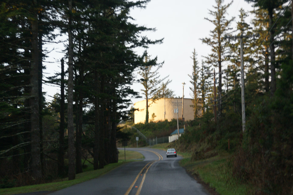
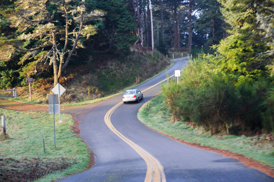
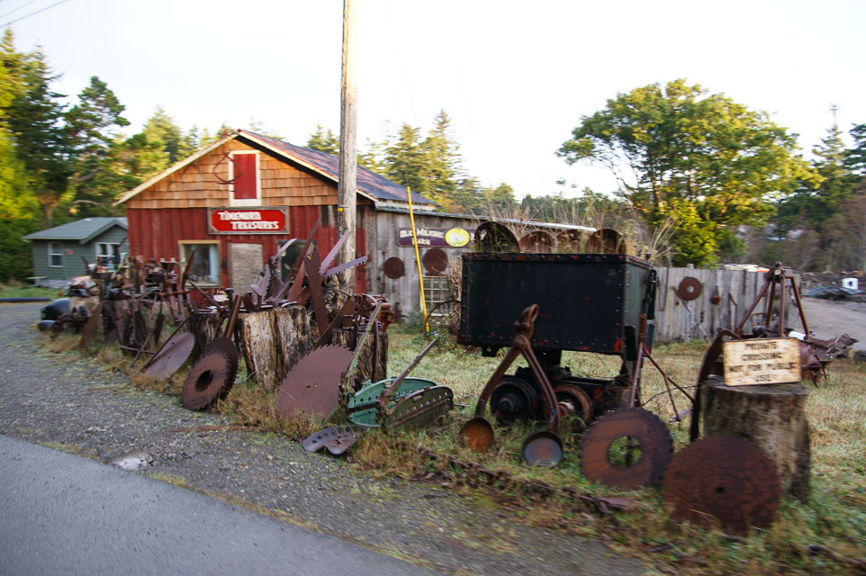
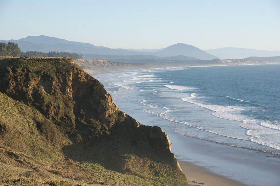
This delightful knob in the city of Port Orford provides good altitude above average terrain. The locals know it as Coast Guard Hill. From here you can hike down to the cliffs and beach of Port Orford Heads State Park.
The Lifeboat Museam is here, too. On nearby King St along the ridge are spectacular views. At the base of the hill is the cute Timeworn Treasures shop.
Driving directions: From Hwy 101 turn west on 9th Street. Turn onto Coast Guard Hill Road.
Restrictions: Day use only. No services.
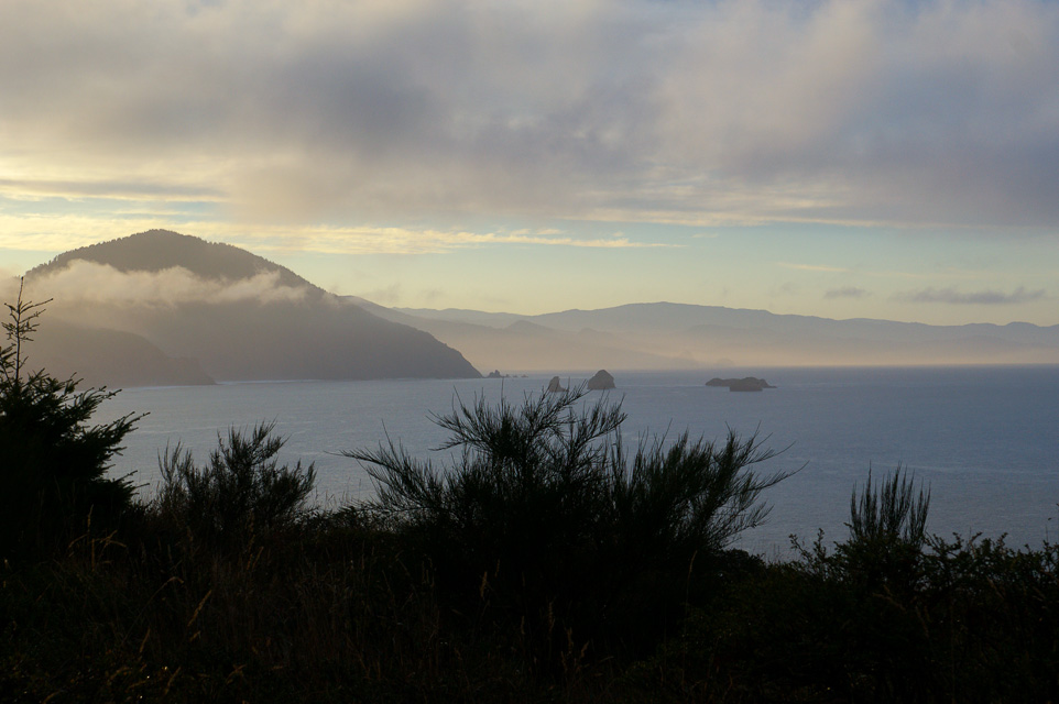
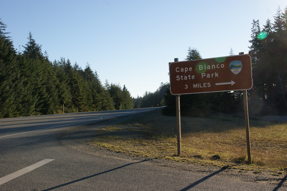
Cape Blanco Park, CN72ru20
| 42.836073, -124.559898 |
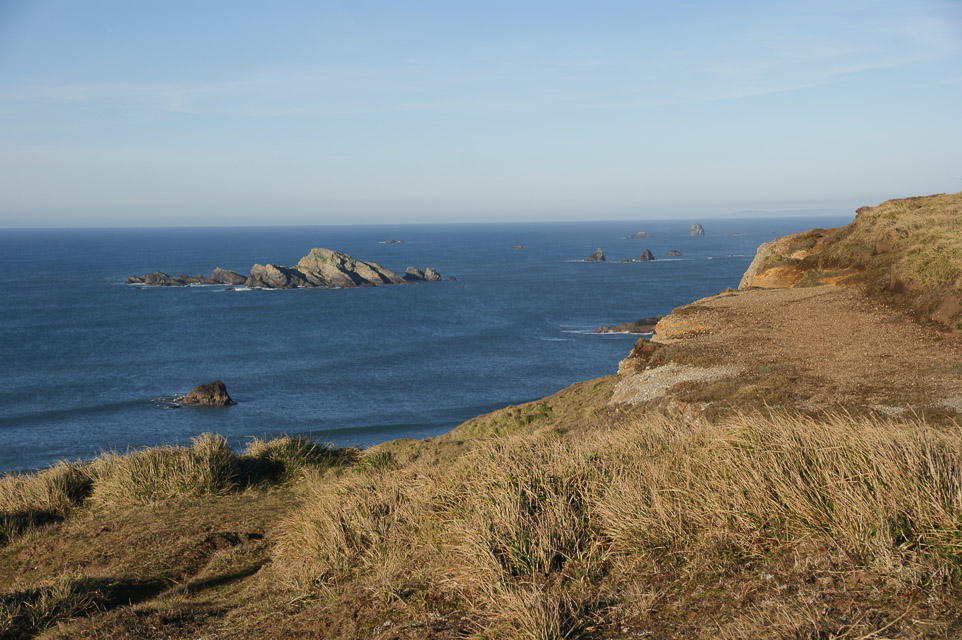
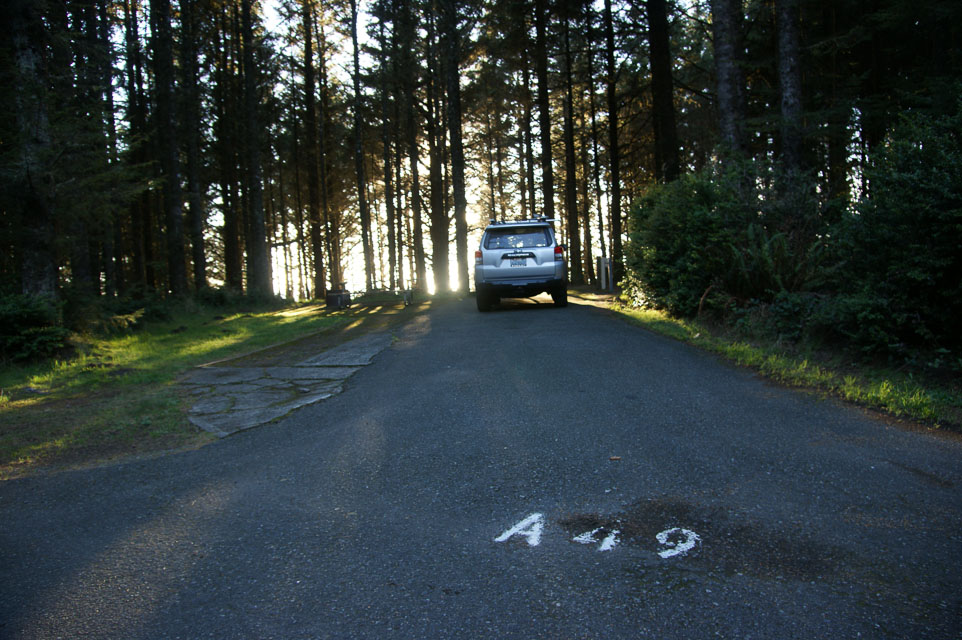
This is a large state park with extensive day-use areas and campground. It is located on the westernmost tip of land in Oregon and has excellent exposure to the north, south, and west. It is far enough from the coastal range to have a good path to the east.
This is a terrific spot for attempting long range over-the-water contacts to the north and south. Some of the nearest grid is blocked by Humbolt Mtn; in Jan 2014, we were unable to reach Crescent City nearby in CN71.
Operating from the campground is OK, but the campsites are all surrounded by heavy brush and trees, so UHF work would be rough. The best operating location is in the parking lot near the lighthouse, but ocean breezes will be strong all day.
www.oregonstateparks.org/park_62.php
Driving directions: South of Coos Bay on Highway 101. Watch for signs.
Restrictions: Winter occupancy is low. Summer campsites work best with reservations. All camp sites minimum $16 and most have electrical hookup included. Lighthouse road is open April - October.
| < Previous | Page 26 of 27 | Next > |
©1998-2026 Barry Hansen